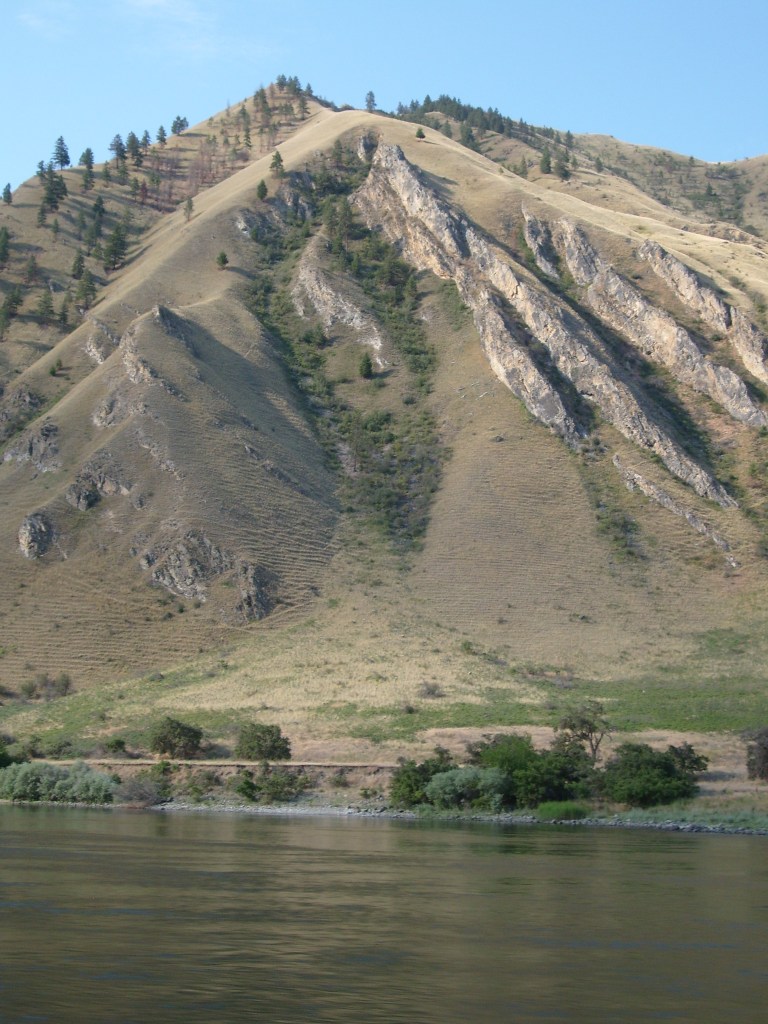
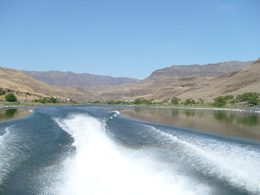
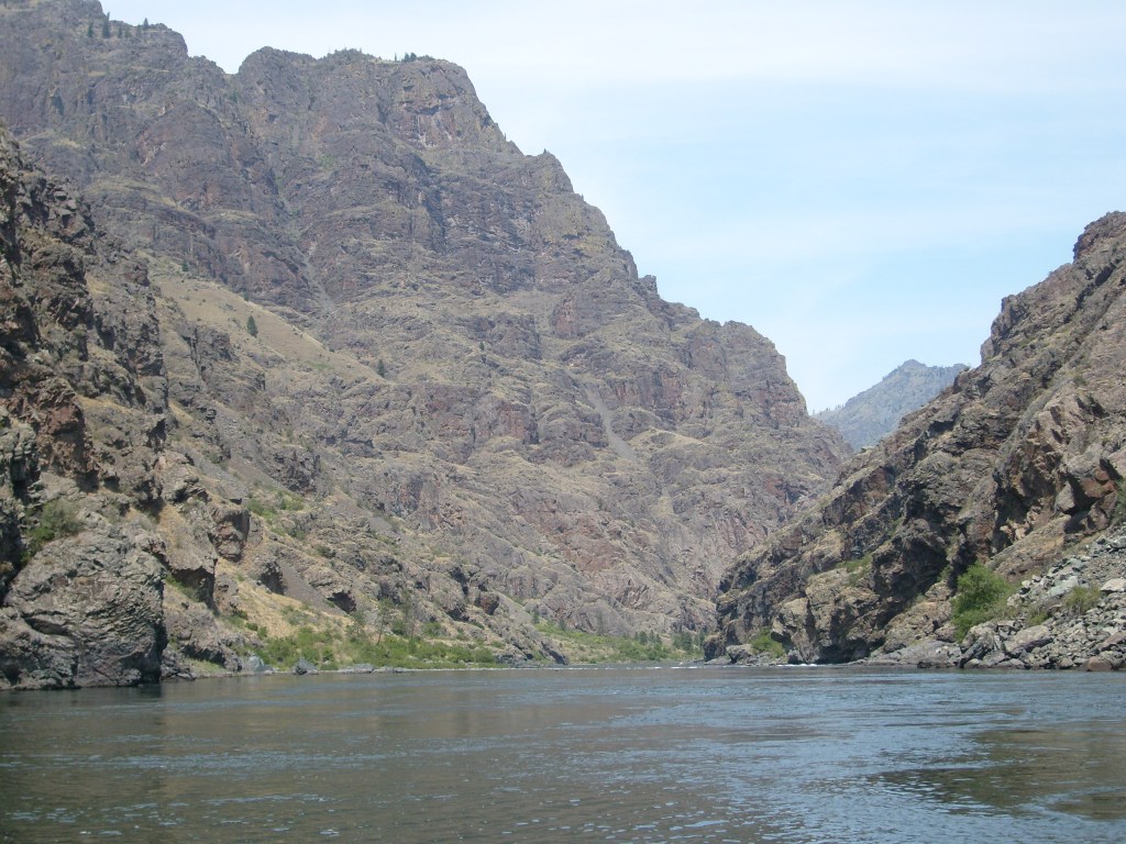
In June of 2015, I travelled to Clarkston, Washington to take a jetboat tour of Hells Canyon – the deepest canyon in North America. That’s right…deeper than the Grand Canyon (but not nearly as wide). I picked exactly the wrong dates to go, as the area was experiencing all time record high temperatures – 113 degrees Fahrenheit! And yes, it was a dry heat, but that just made the breeze feel like a convection oven.
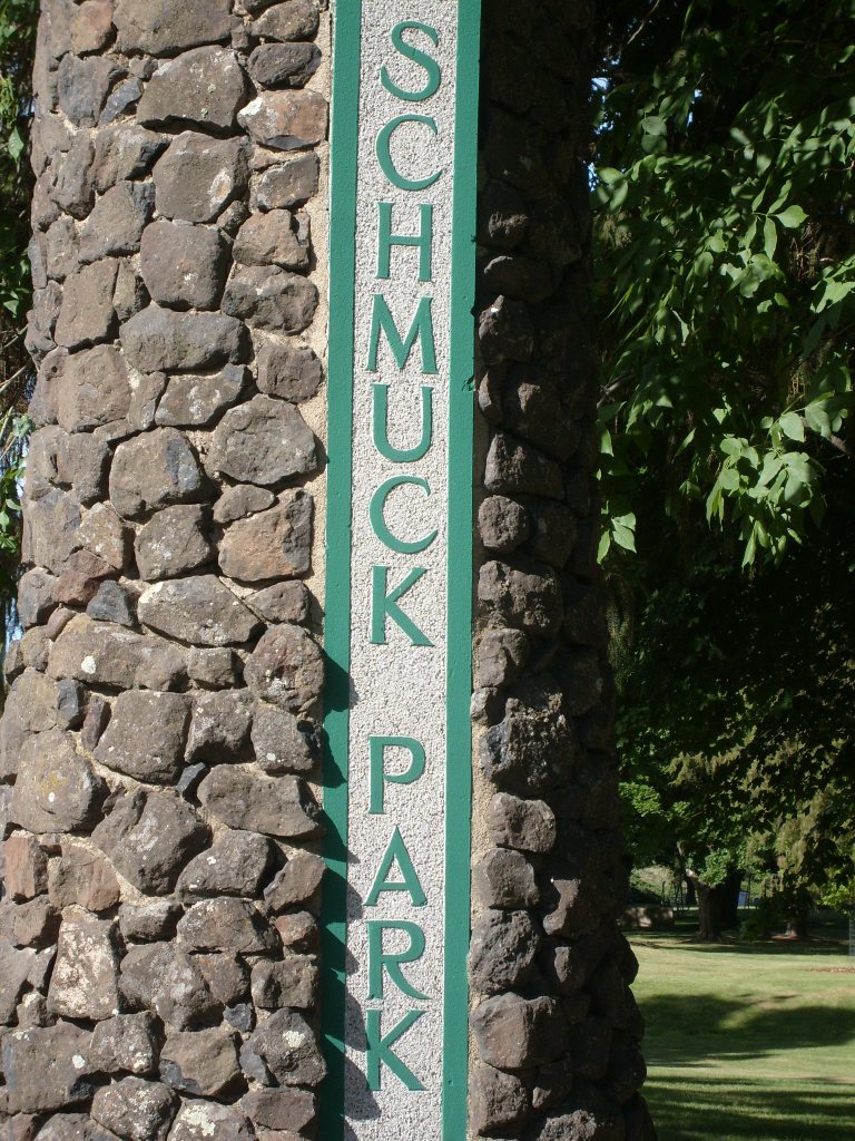
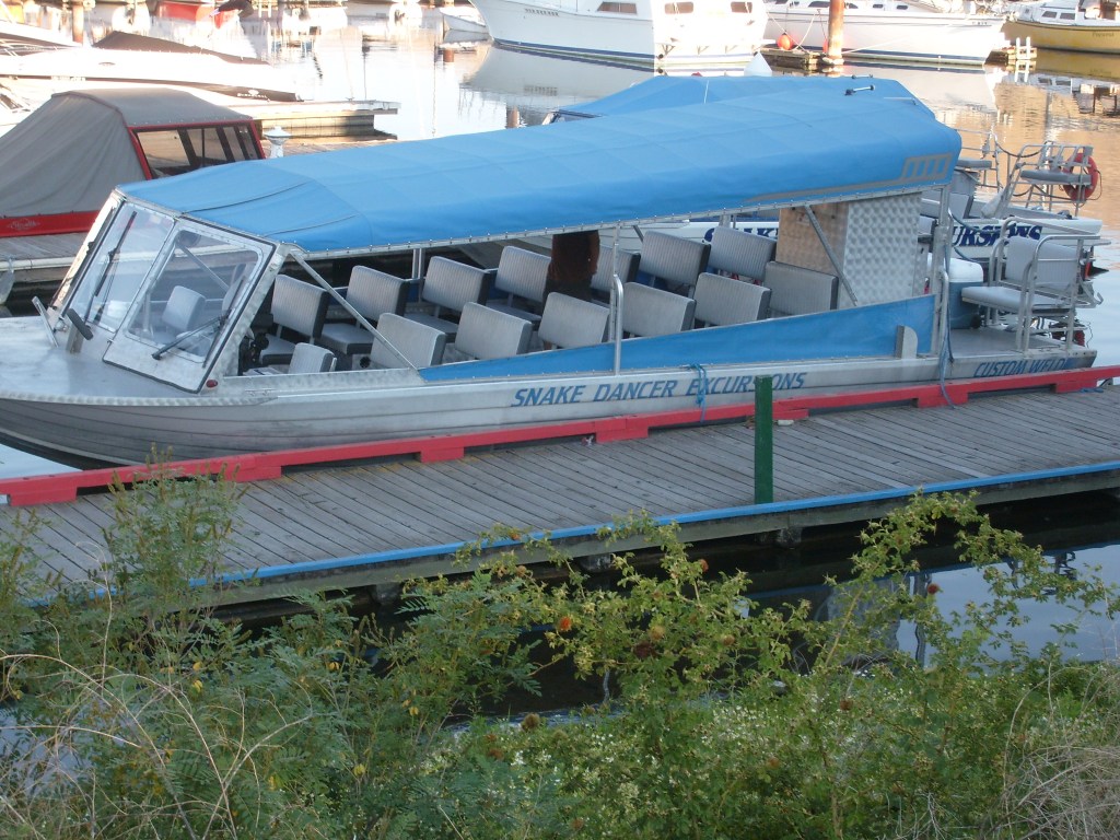
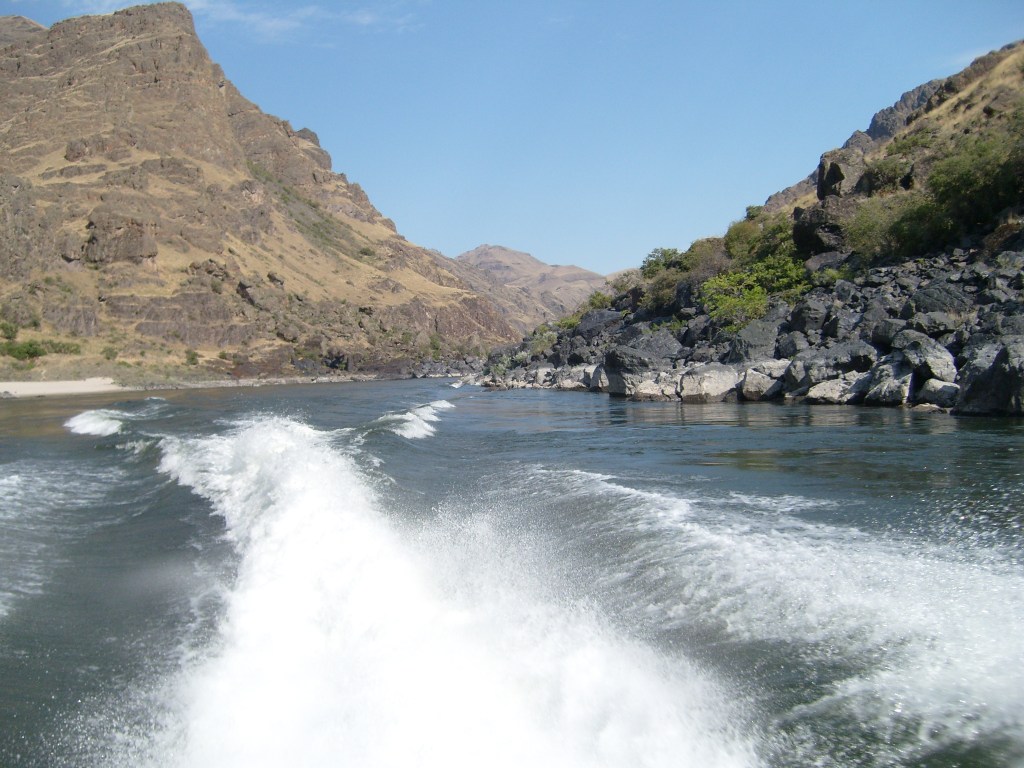
Somewhere between Spokane and Clarkston, WashingtonAs intrigued as I was by the name of this park, I really didn’t feel like sticking around to see what kind of people frequent the place.This was my ride through the stinking hot depths of Hells Canyon.
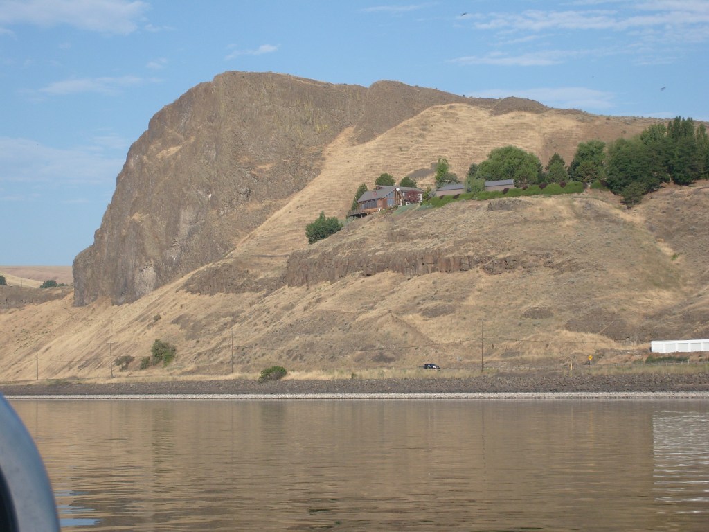
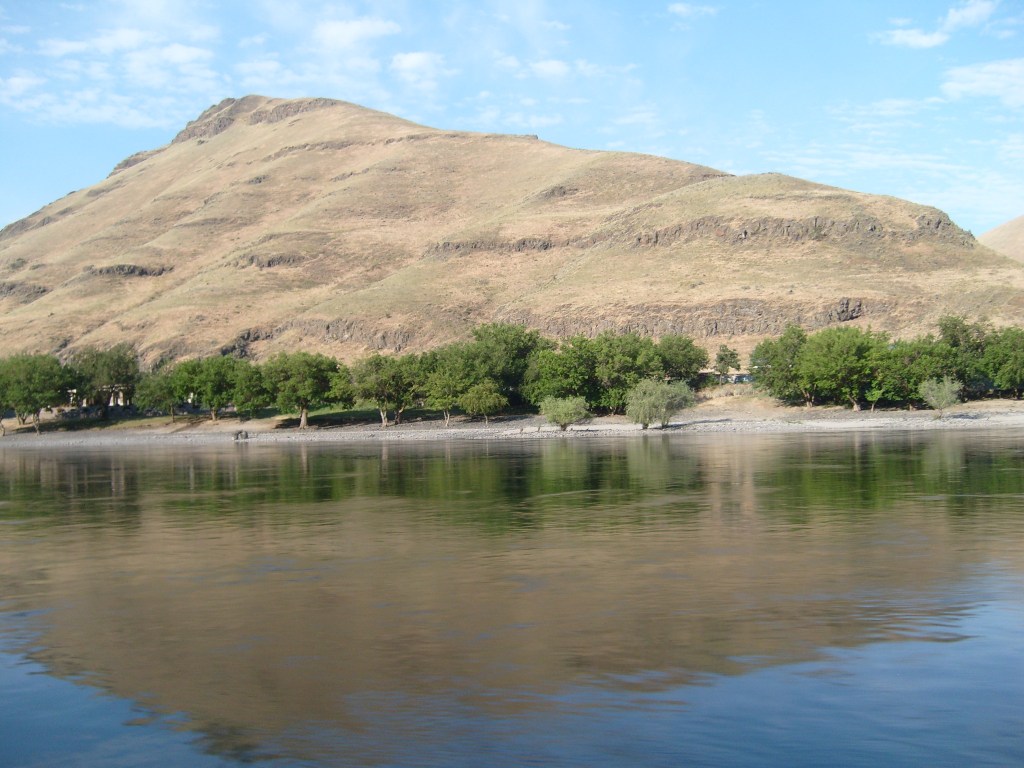
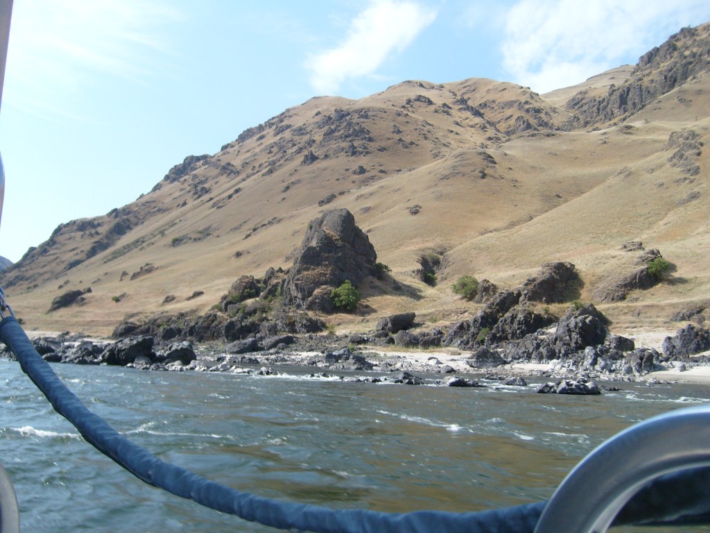
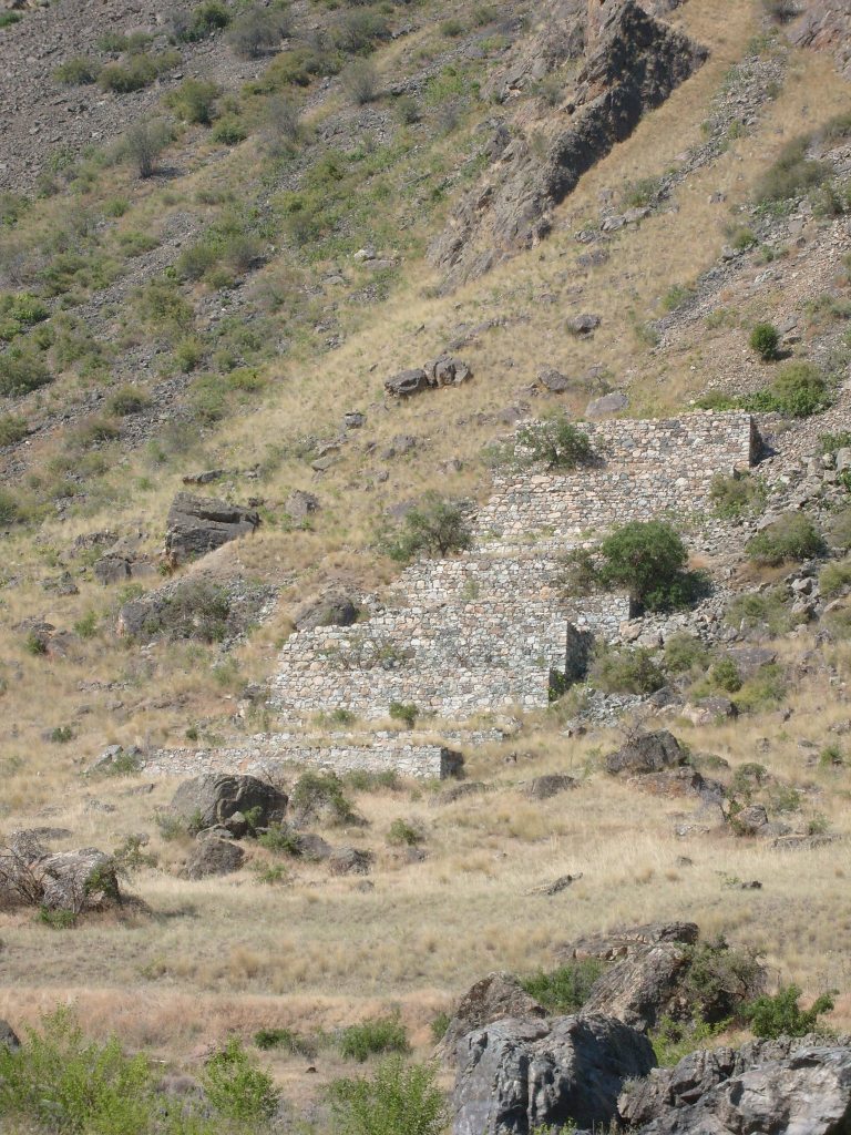
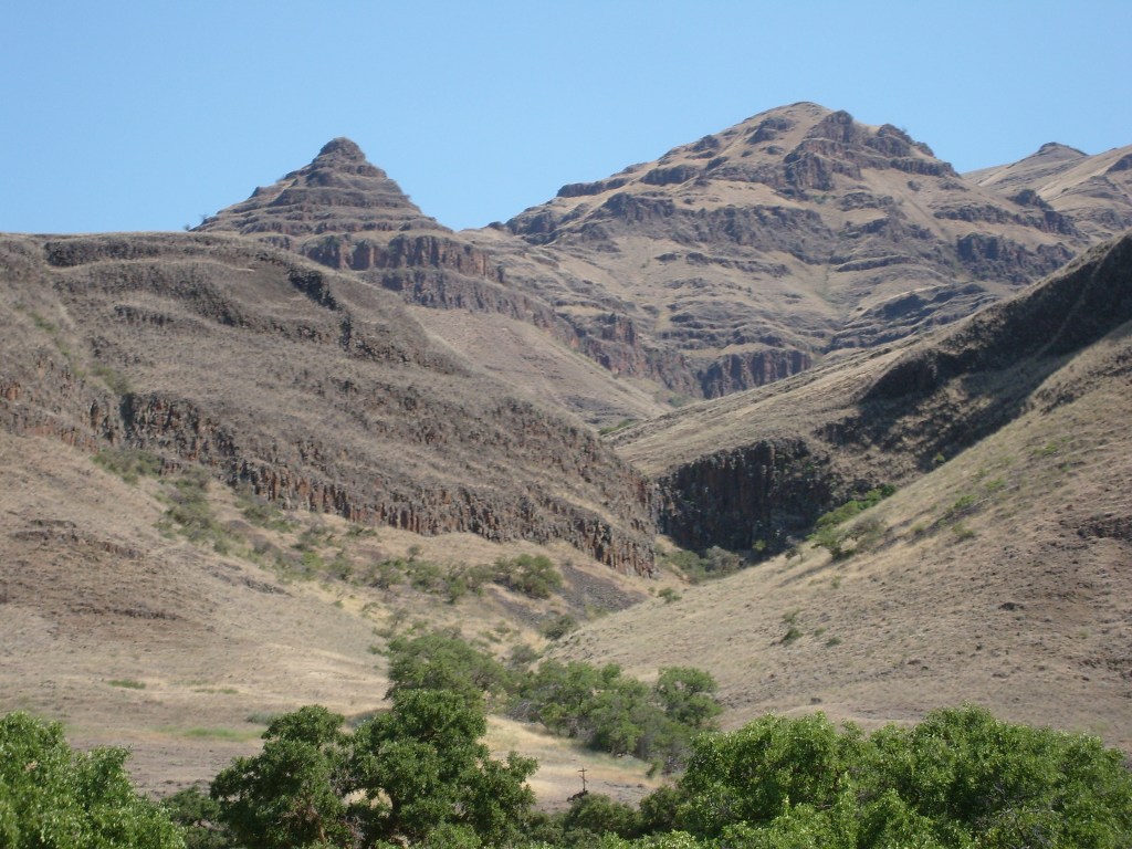
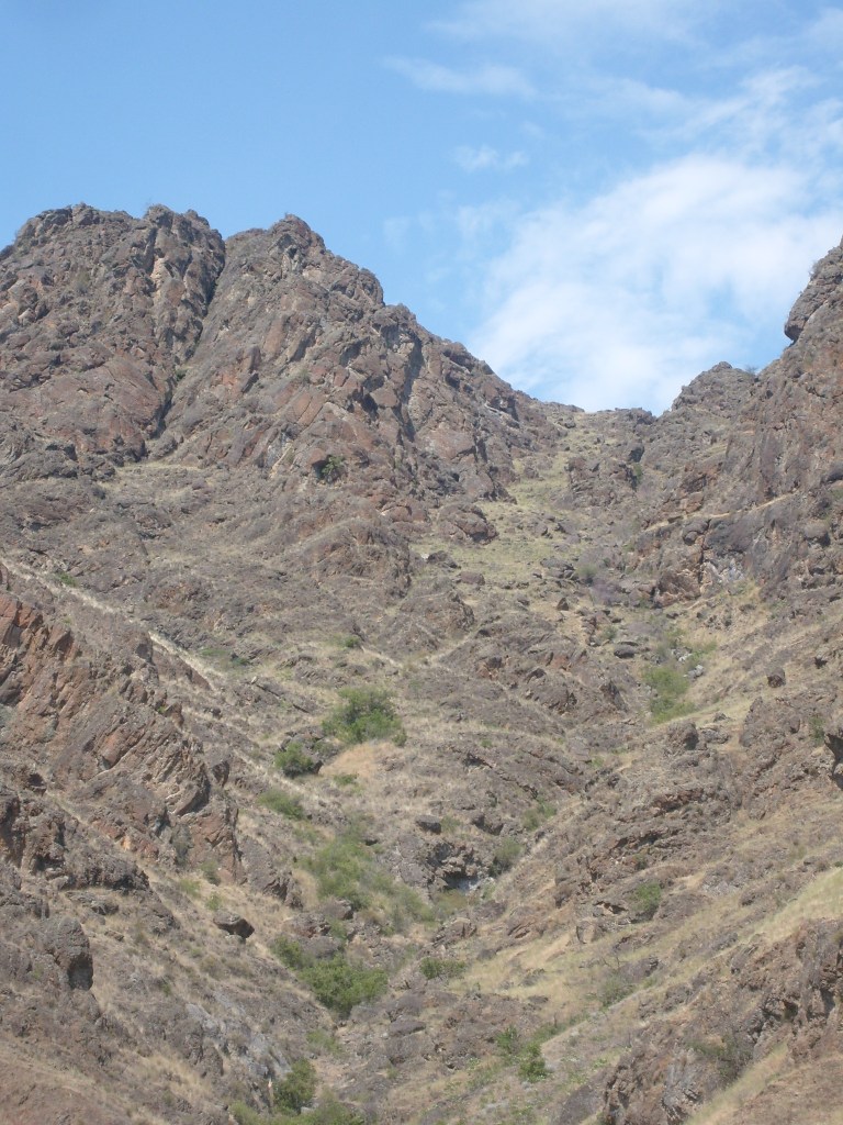
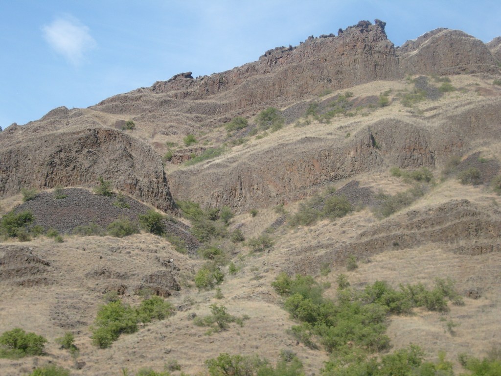
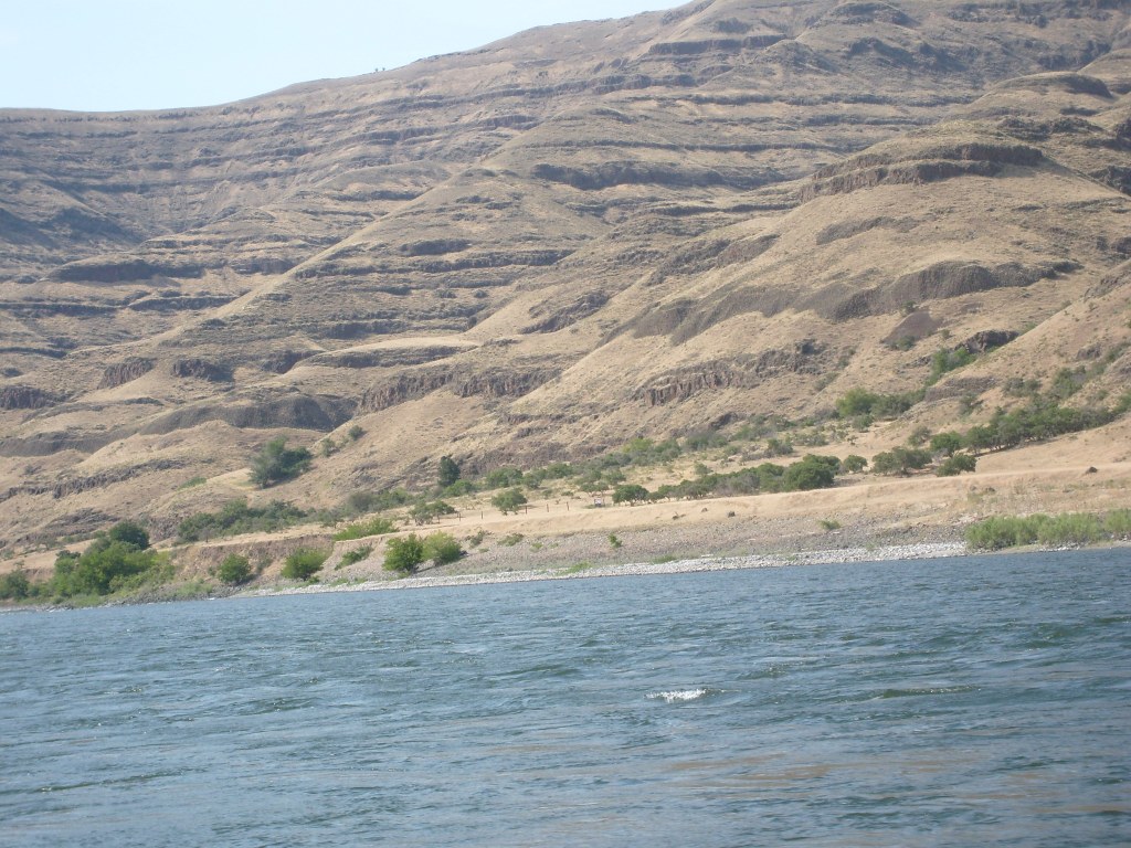
Some of the scenery in Hells CanyonI hereby dub this rock formation…Bear Poop.These are the foundations of a long defunct ore mill. I don’t recall what minerals/metals were mined in the area.
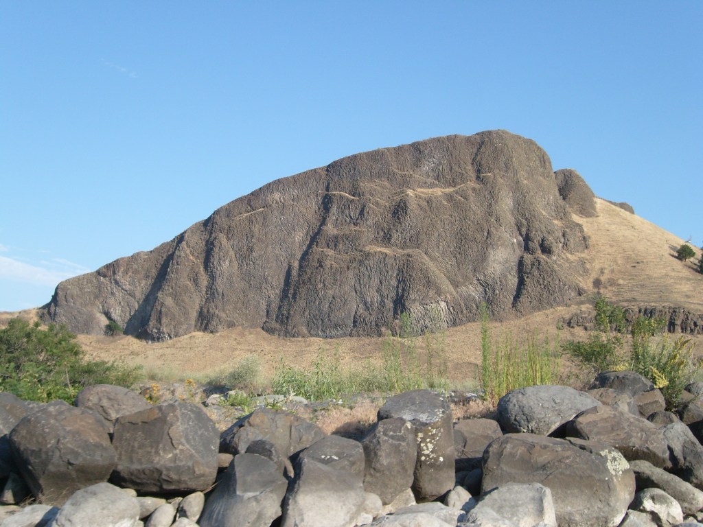
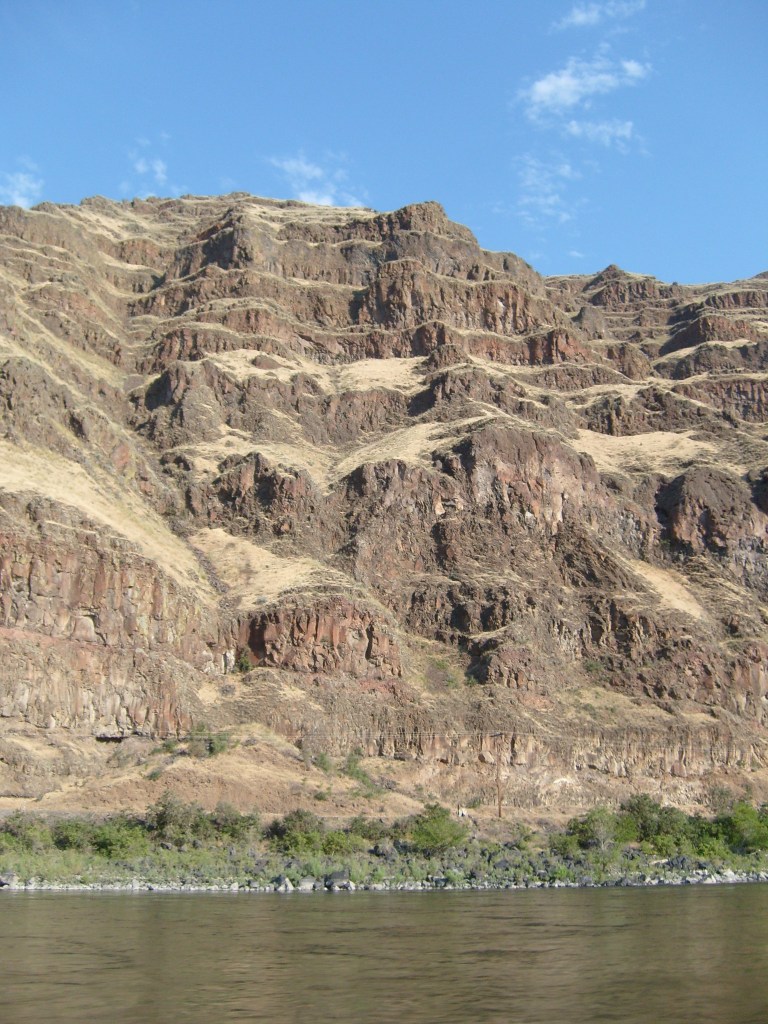
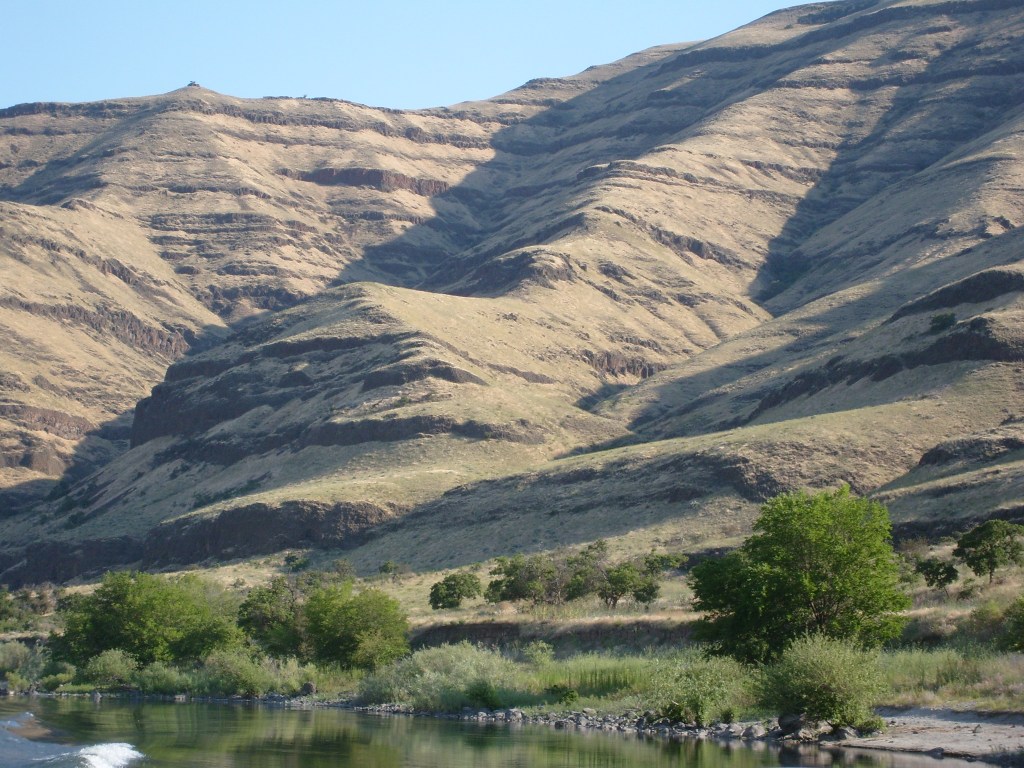
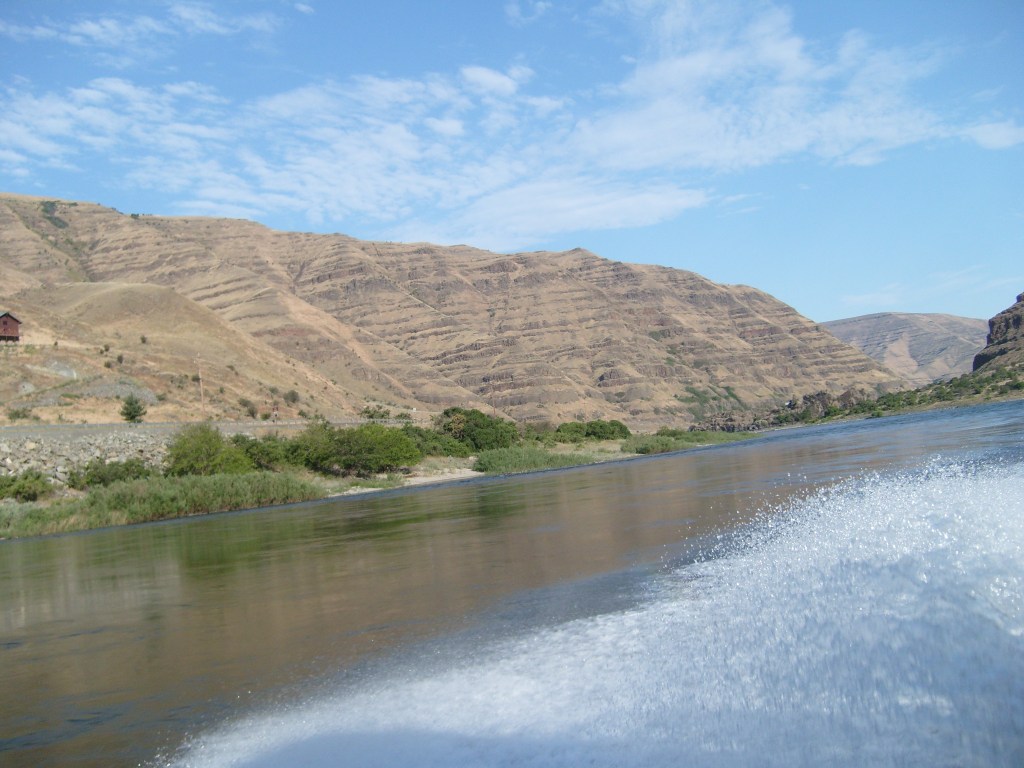
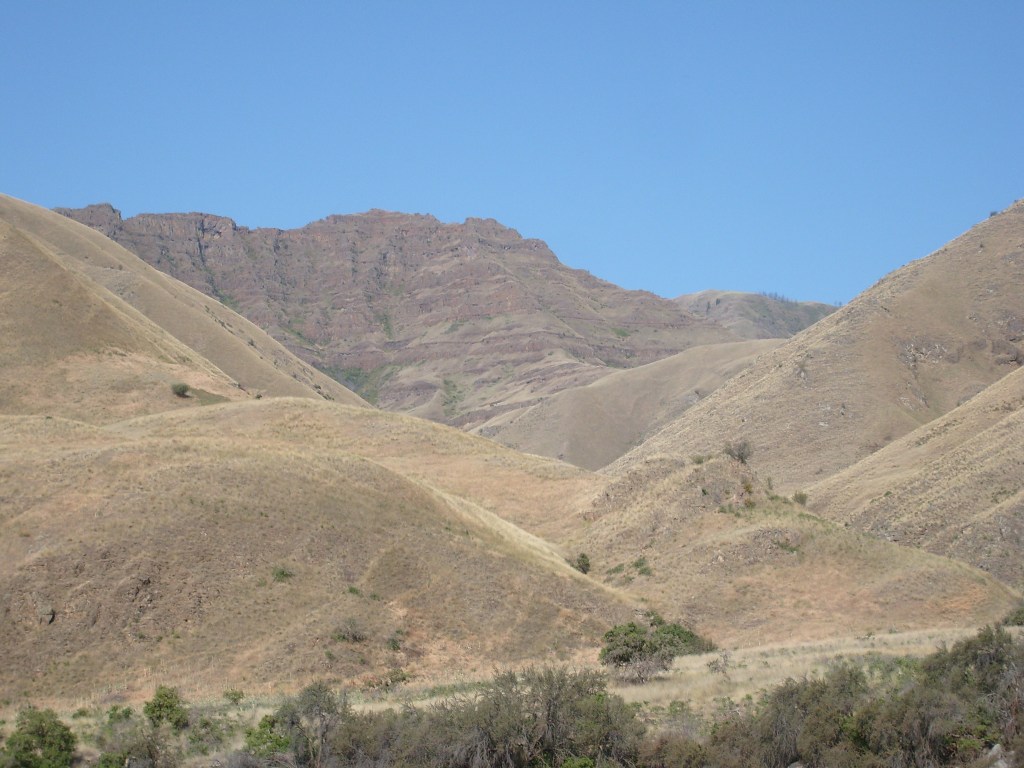
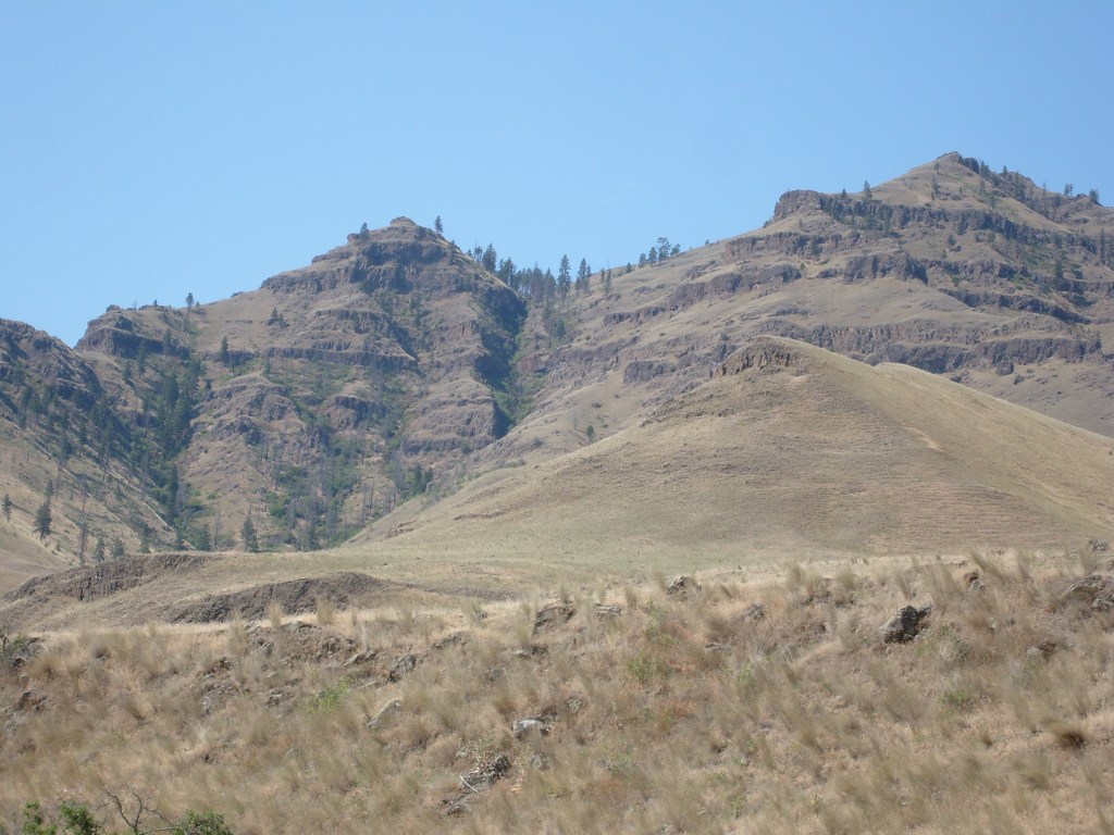
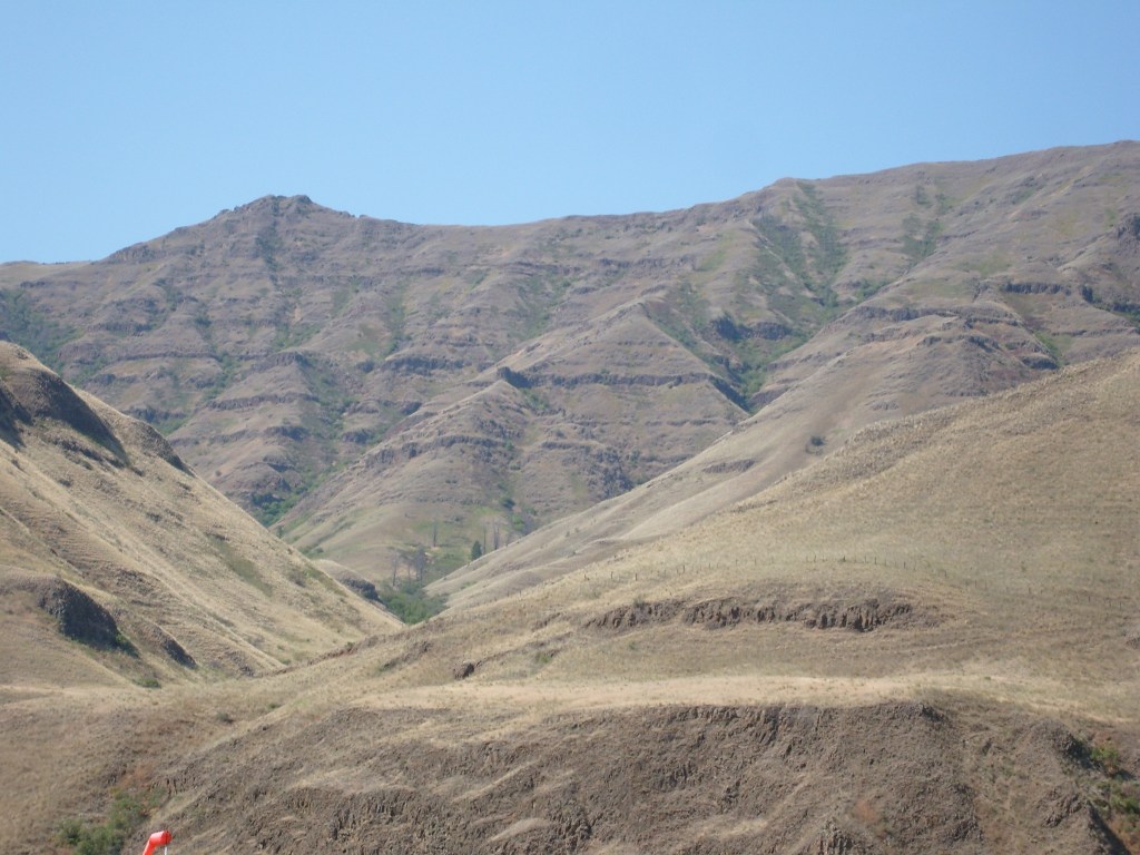
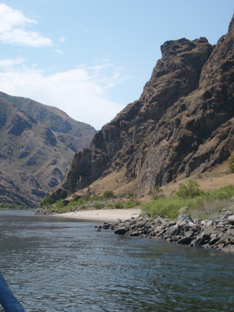
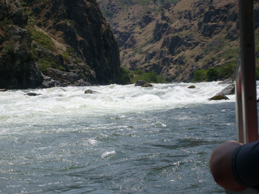
Some more of the scenery in Hells Canyon
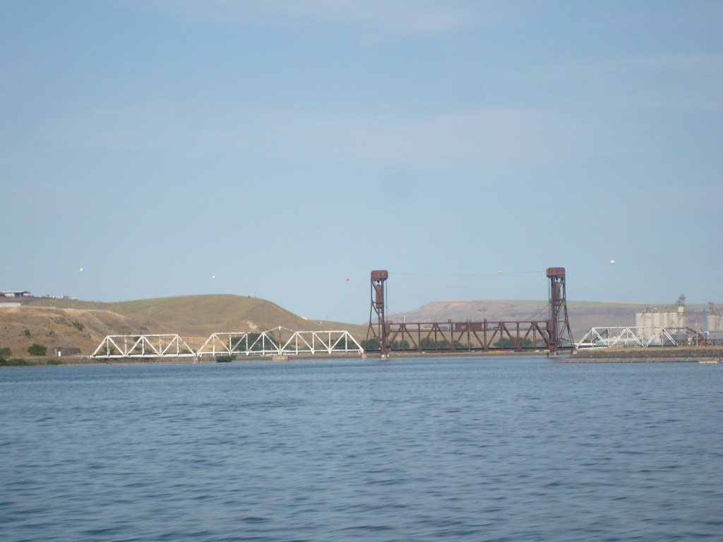
These two vertical-lift bridges exist because, until relatively recently, it was possible for sea-going ships to travel up the Columbia and Snake Rivers all the way to Idaho. You read that right…IDAHO had a SEA PORT, in the town of Lewiston.
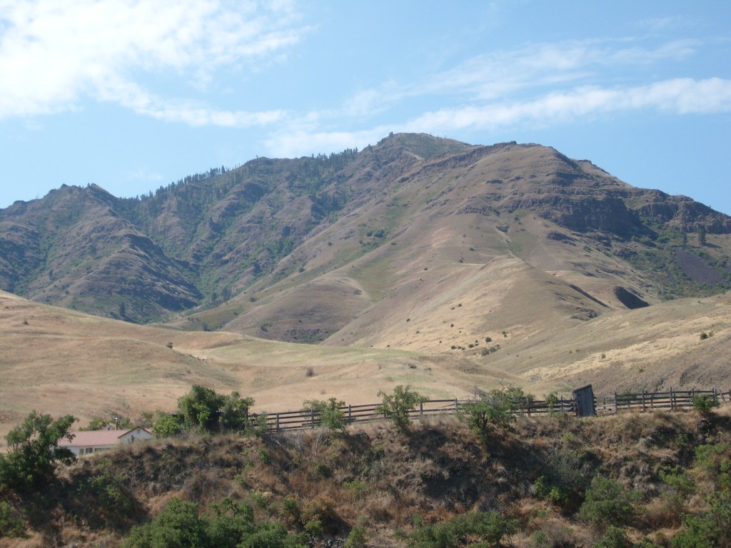
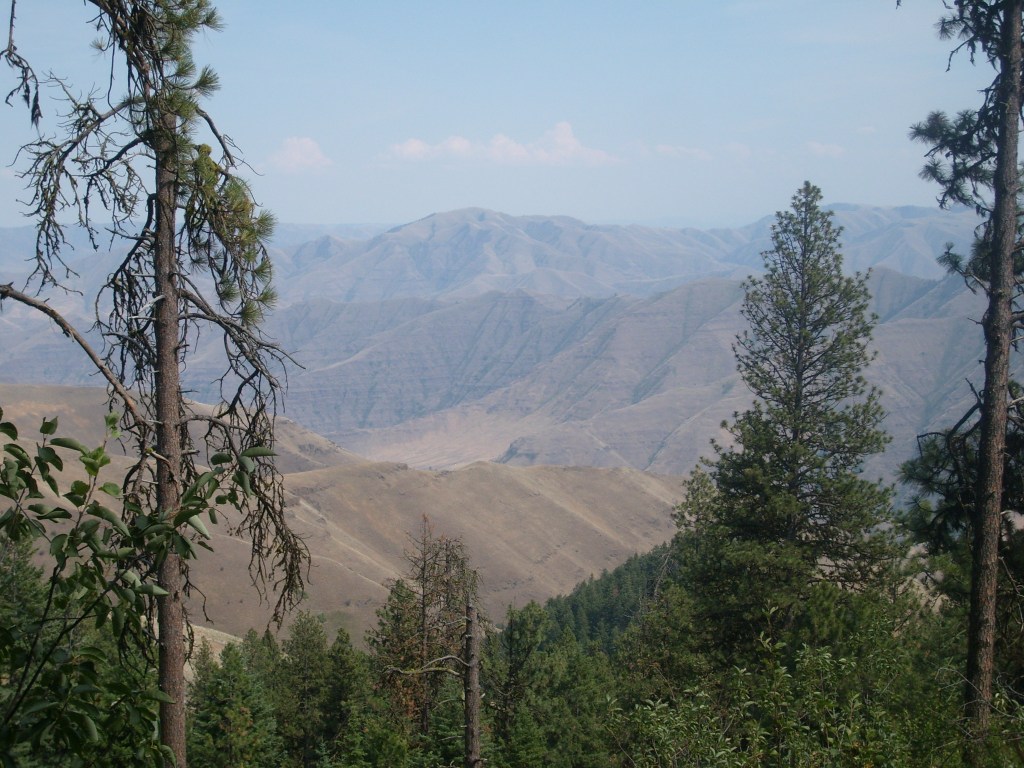
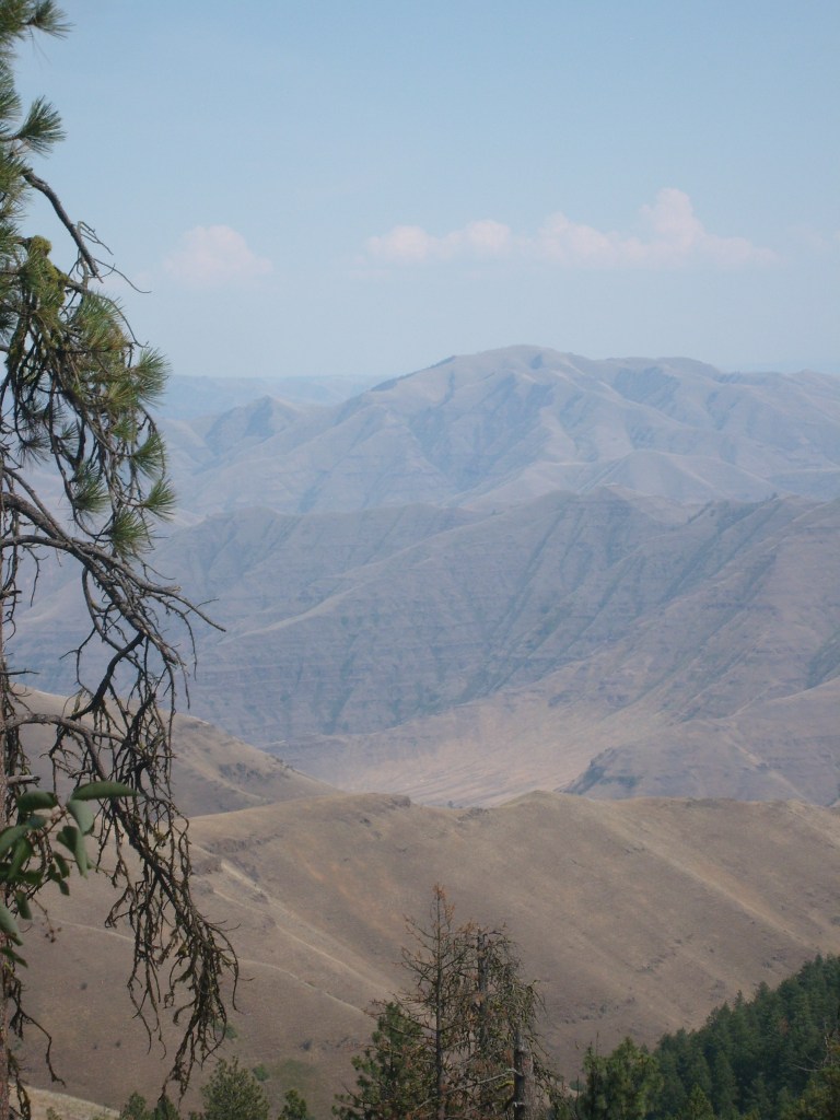
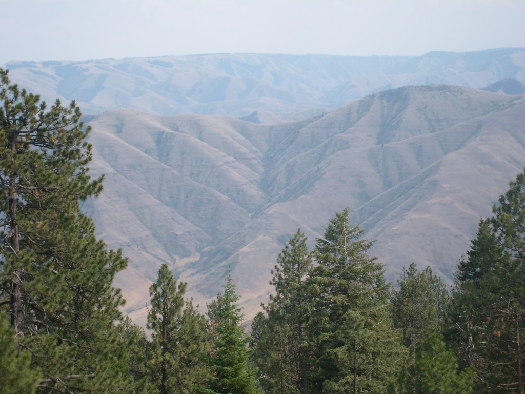
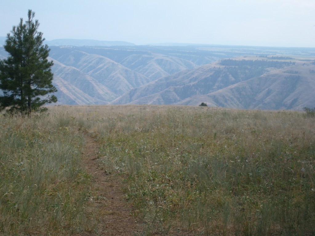
This is the part where I point out that I really shouldn’t wait six and a half years to write up a trip. The day after the jet boat tour through the bottom of the canyon, I went on a hike near the top of the canyon. At this point, I don’t remember the name of the place I went hiking; I just know these next pics are looking down into the canyon from above. Oh, and I remember that it was only 99 degrees Fahrenheit at this higher altitude.
Looking down into North America’s deepest canyonFinally, a view from the top of Lewiston Hill. All of the blacktop you see is part of the same road – the long and (very) winding road known as the Old Spiral Highway.


Great pictures!
LikeLike