
A mere three weeks ago, as part of my “Colorado Hodgepodge” post, I showed y’all a few pics taken in and around Central City, Colorado. When those pics were taken, I had arrived fairly late in the day. As a result, daylight was waning (waindwops keep fawwin’ on my head), and I got only a handful of photos before lighting conditions deteriorated. So, a few weeks later, I went back for a Full Visit. What’s so special about Central City? Why does it deserve so much attention? OK! All right! I’ll tell you! For crap’s sake, stop hounding me, already!
Central City once billed itself as “The Richest Square Mile on Earth”, and with good reason. Central City sits at the center (hence the name) of one of the most productive gold mining districts in U.S. history. Of the 500+ gold mining districts in the western U.S., the Central City district ranks number 11 in all-time gold production. It’s also the location of the first gold ore vein to be discovered in what is now Colorado. When John H. Gregory discovered a gold lode here in 1859, the town that subsequently sprung up around it was named Mountain City, Kansas. That’s right. Kansas (and Nebraska) once had mountains. But the real reason I give so much attention to Central City is that it’s unmatched in terms of how well the town has been preserved. In other words, there’s a lot of old crap layin’ around. So, let’s check it out! On this fine day, I parked at what is now known as the Grand Z Casino and walked east along an abandoned road…
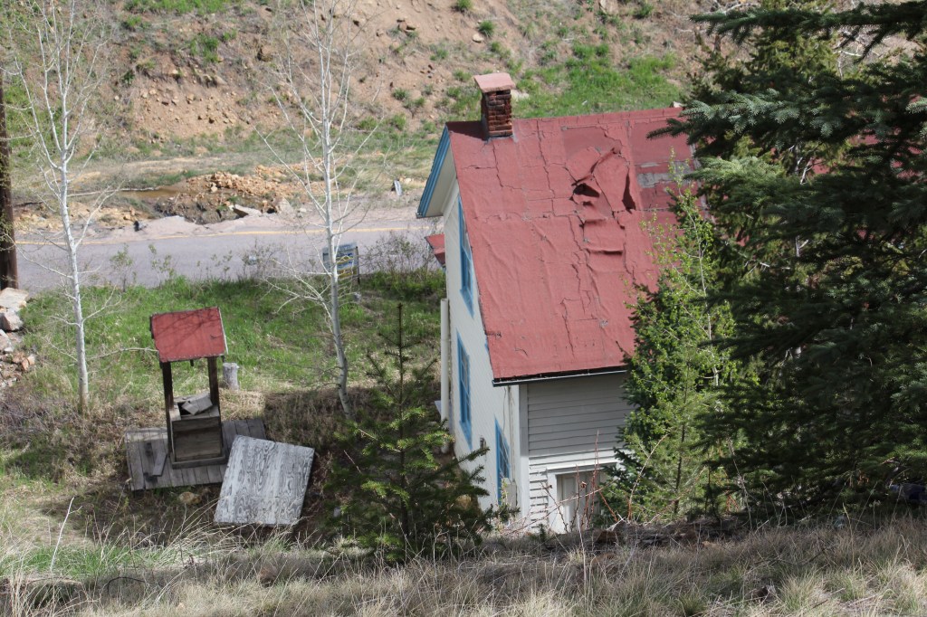
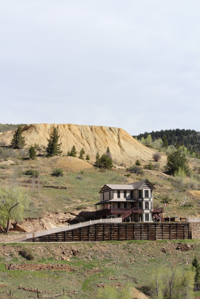

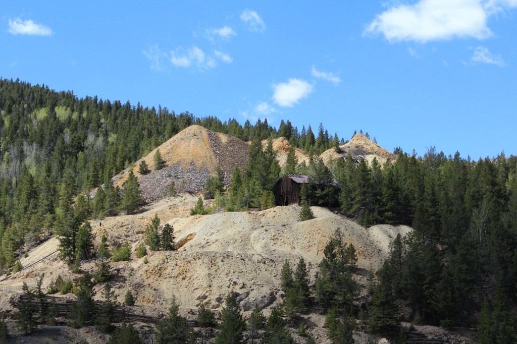
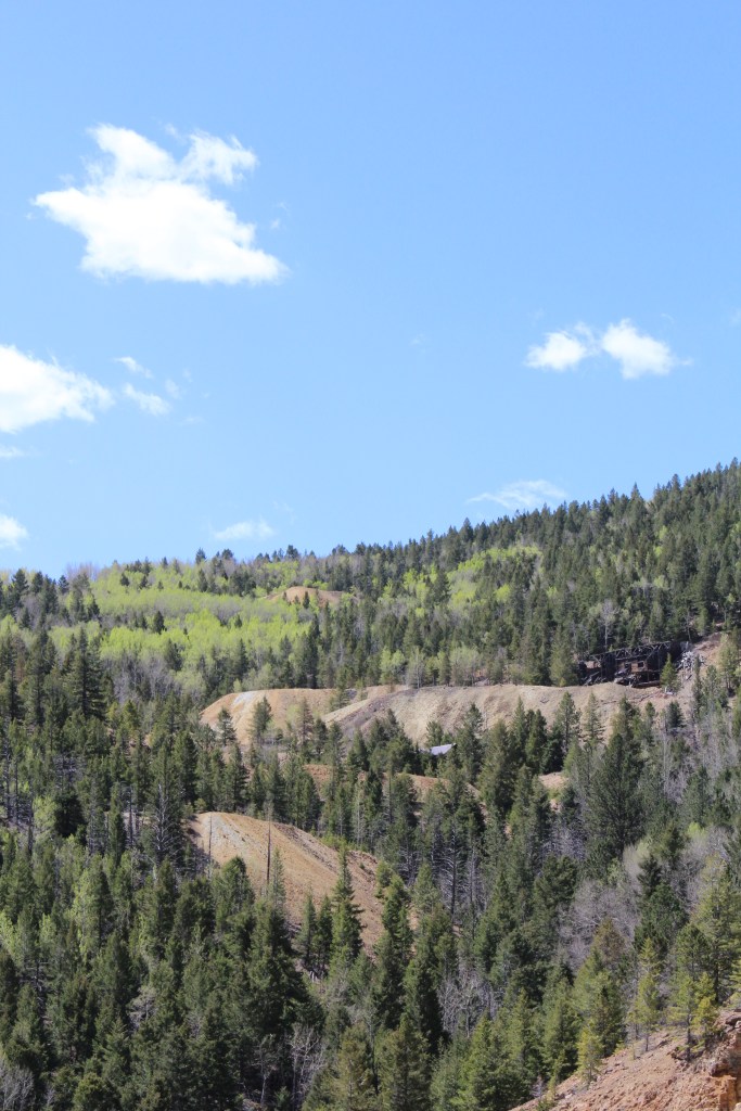
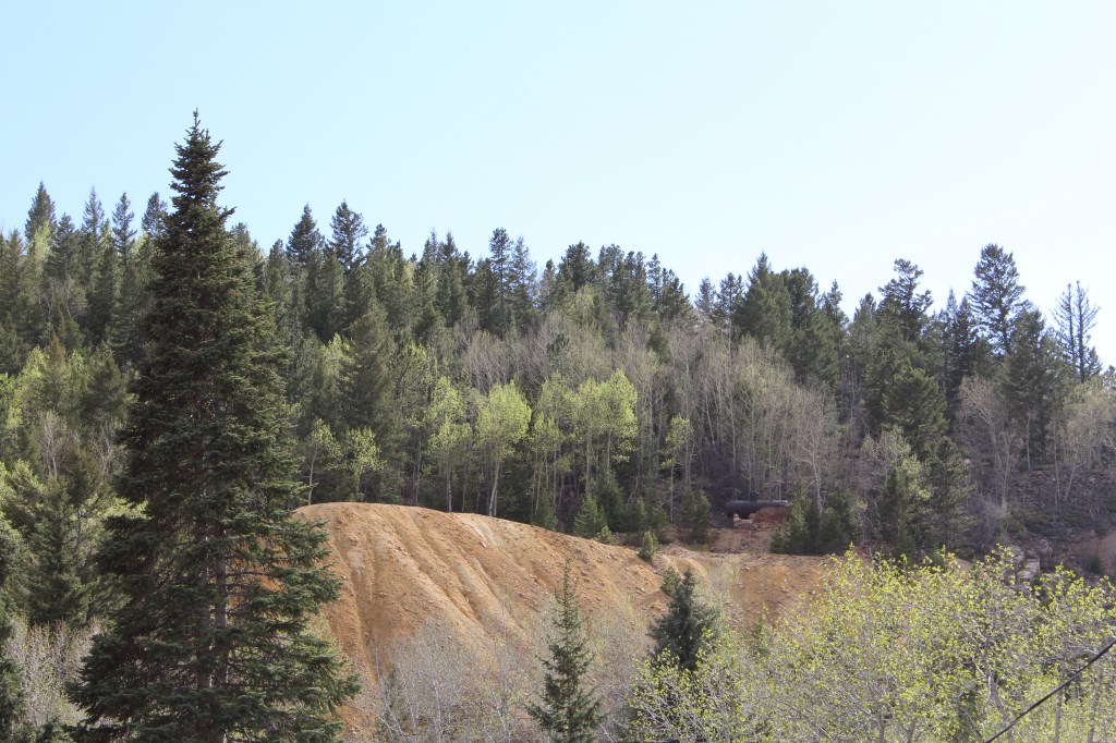
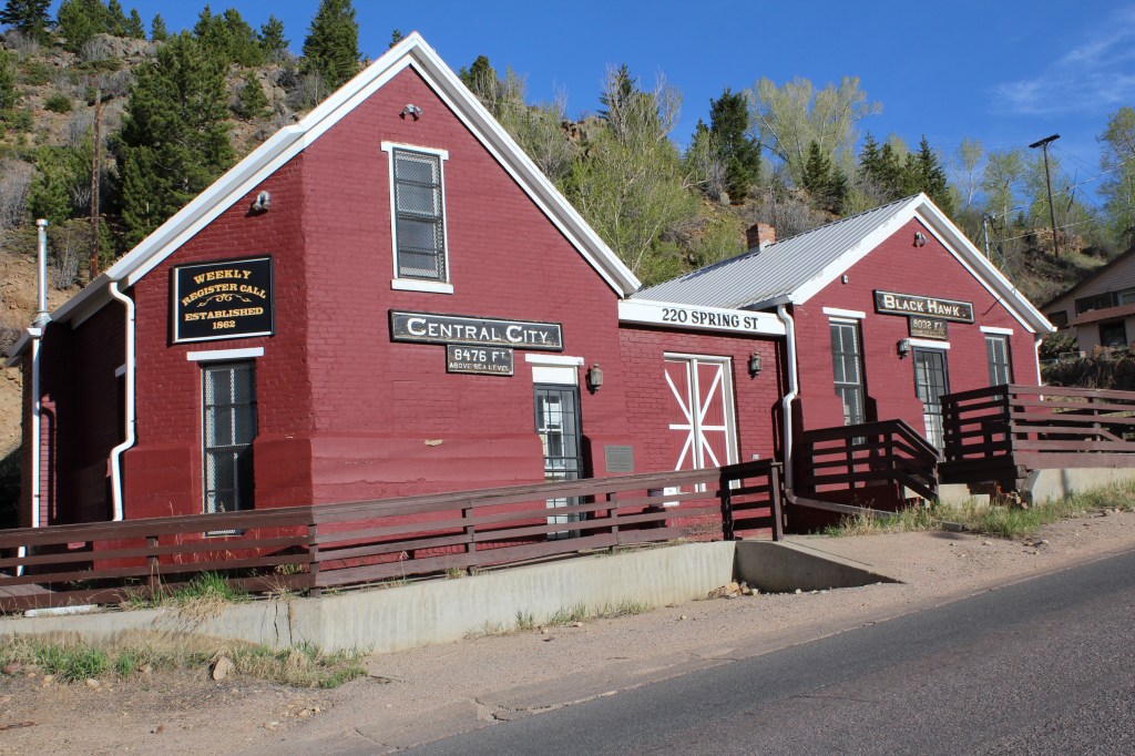
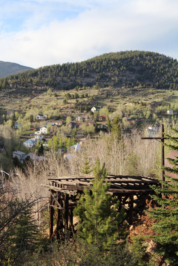
At this point, I reached the end of my abandoned road, and scrambled down a hillside to the valley floor. This put me very close to the border between the City of Black Hawk and the City of Central. These next few pics were taken in the area of said border, which was where that first gold discovery was made, and the original Mountain City quickly burst from the earth.
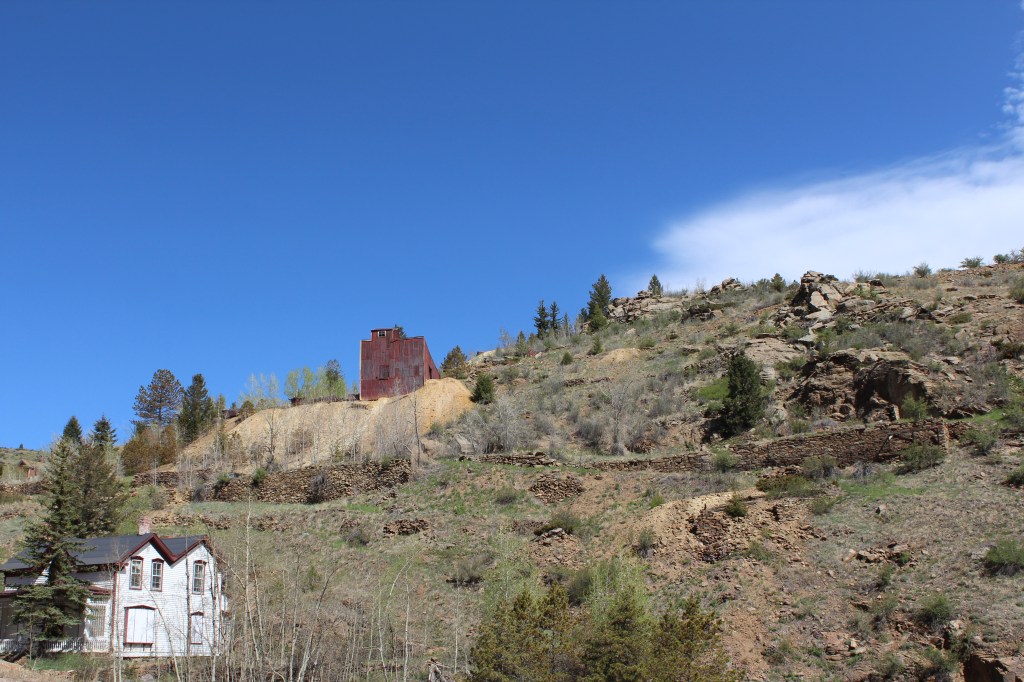
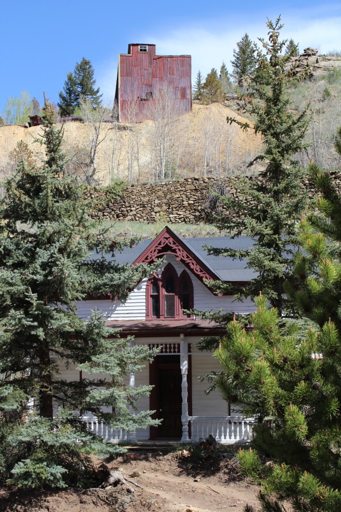
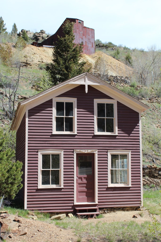
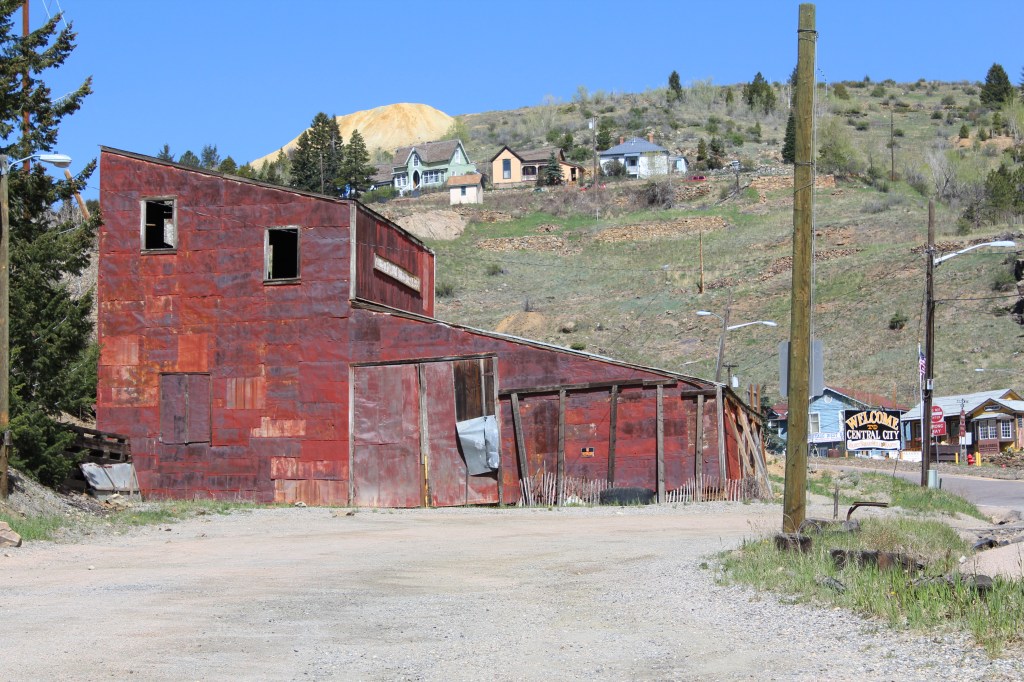
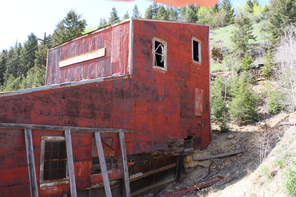
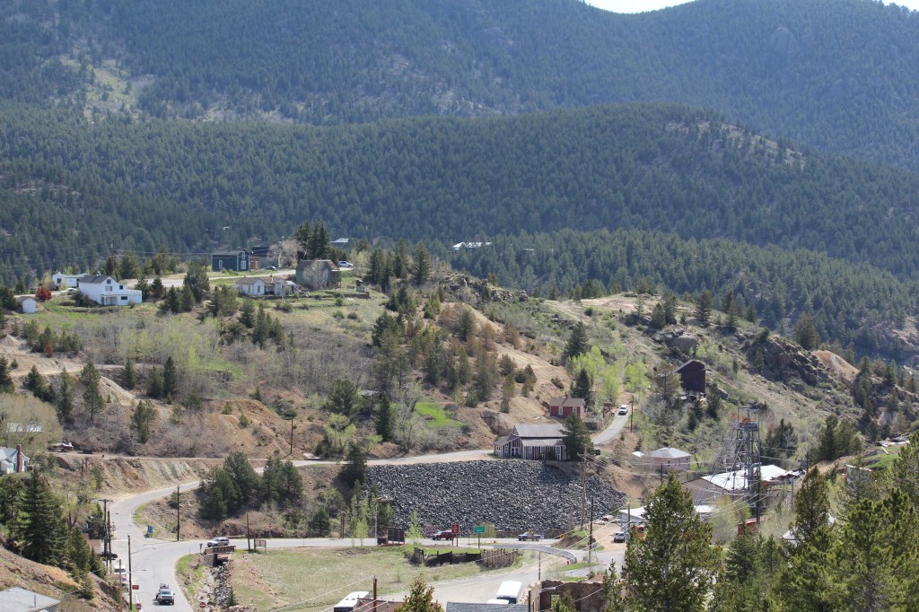
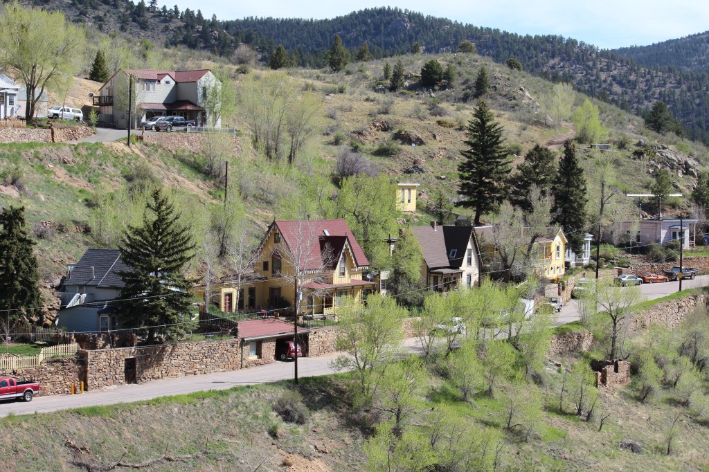
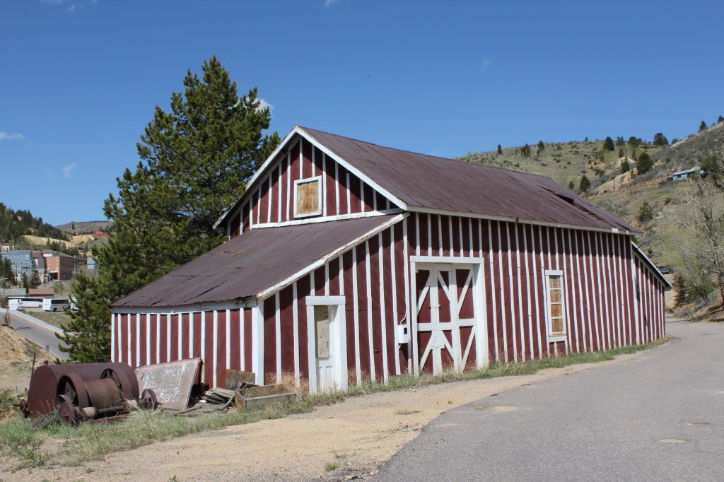
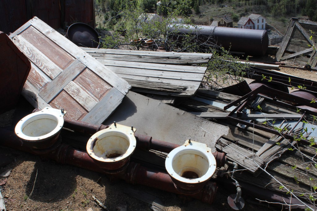
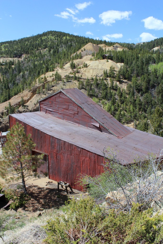
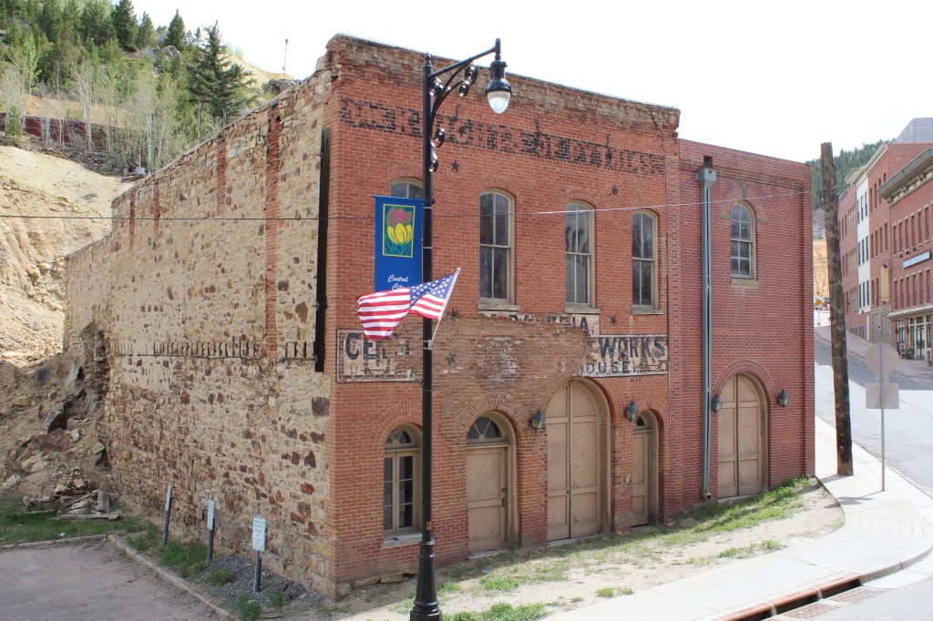
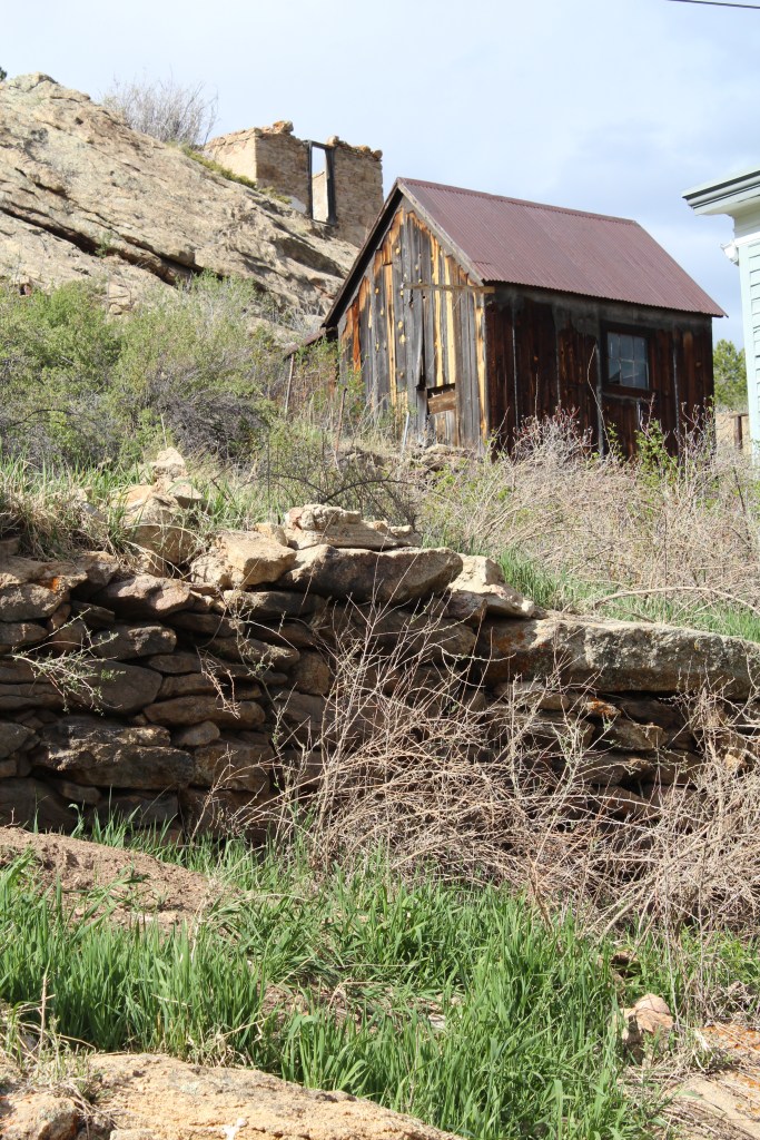
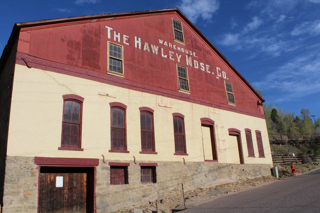
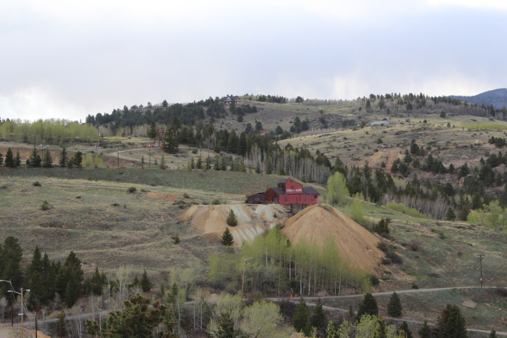
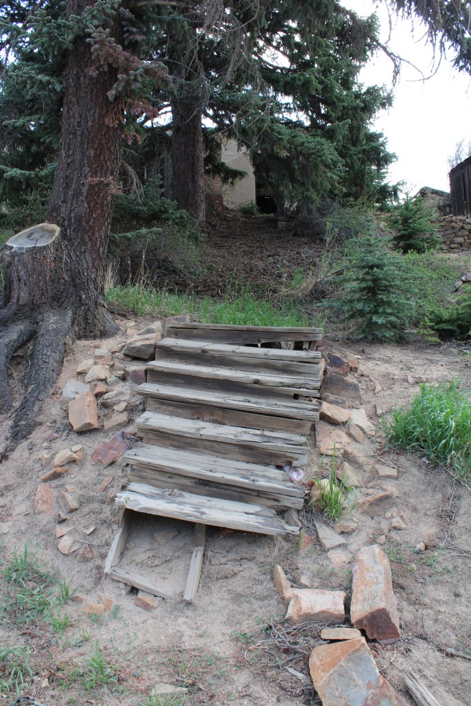
Next, I walked juuuuuuuust far enough up the road to KNOW that I was fully inside Central City. This is the lowest part of town, in terms of elevation (Google Earth says this is at exactly 8200 feet). I hung out in the low end of town for a while, checking out some more of the industrial remnants of the mining era…


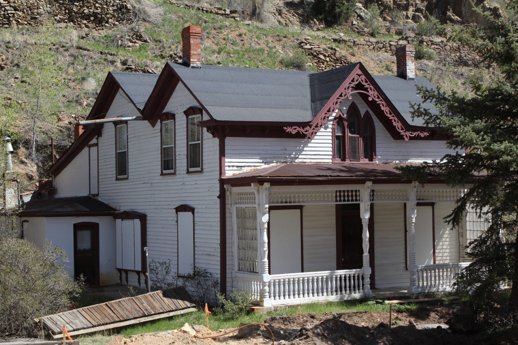
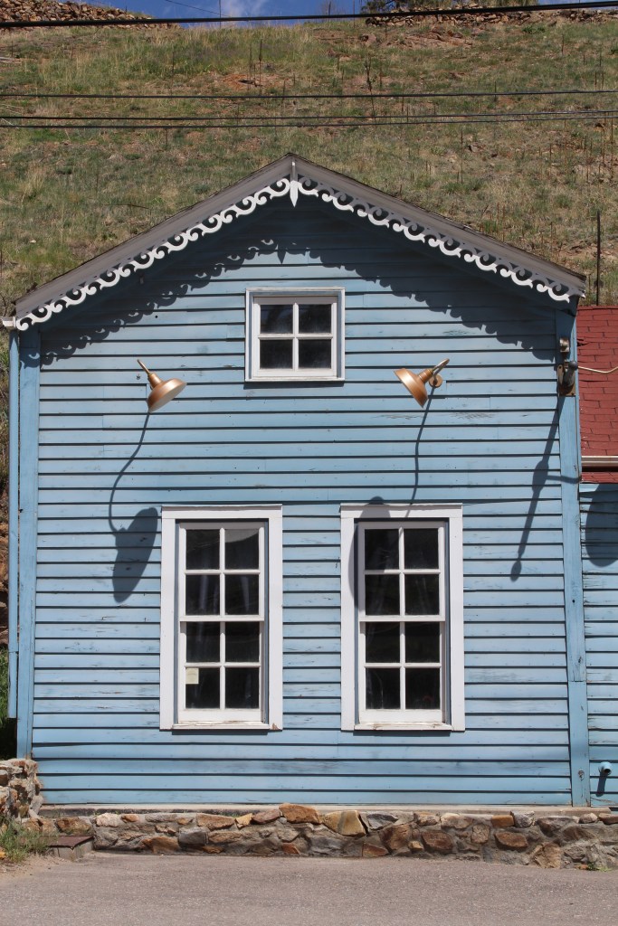
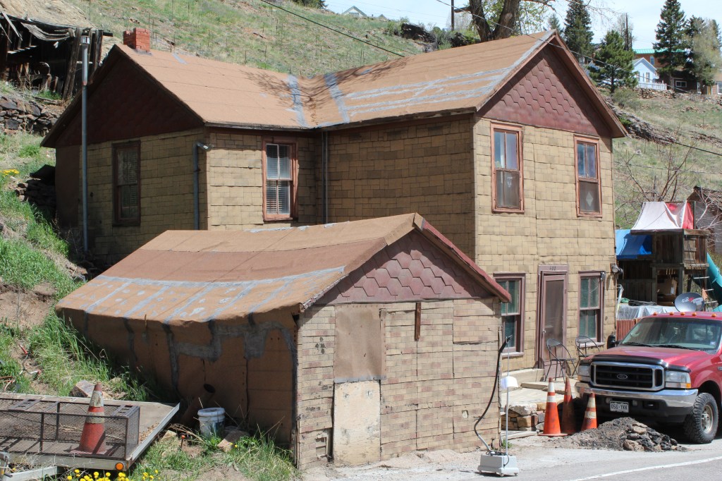
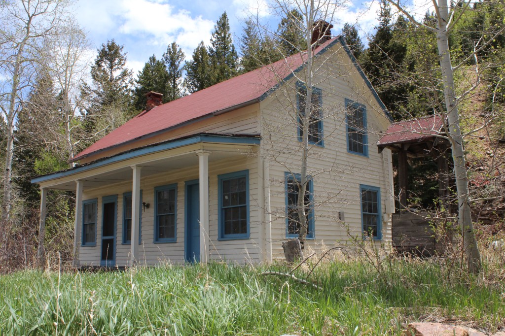
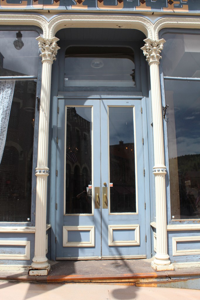
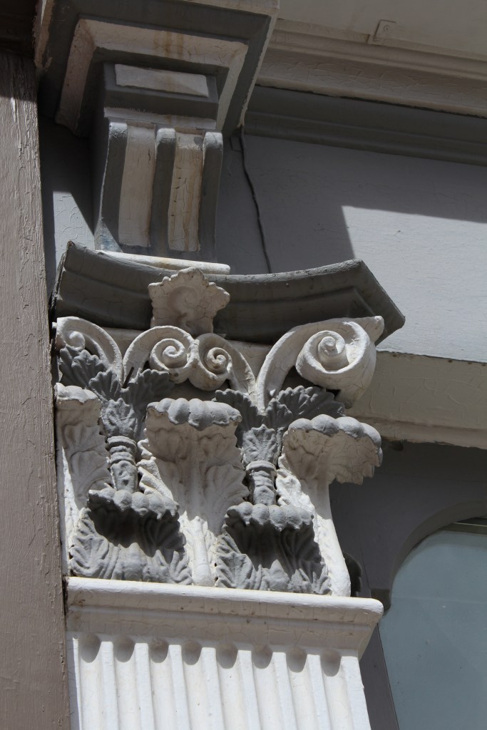
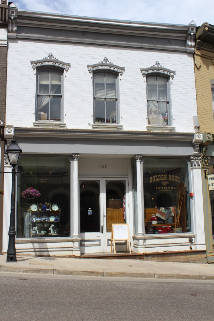
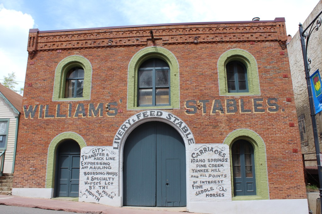
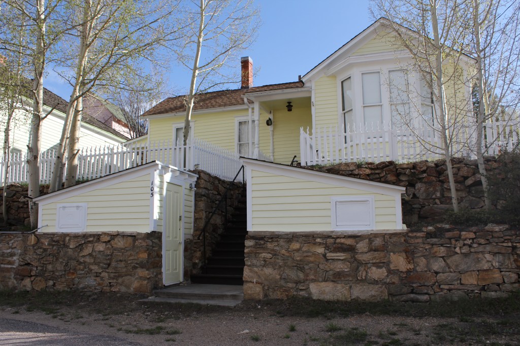
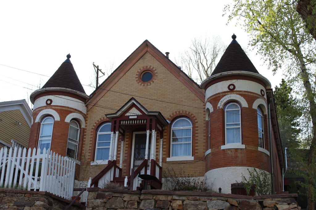
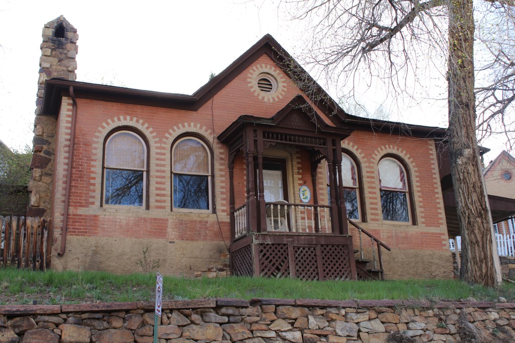
The low end of town isn’t all industrial, though. It also has several historic houses and commercial buildings…


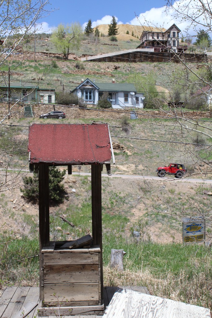
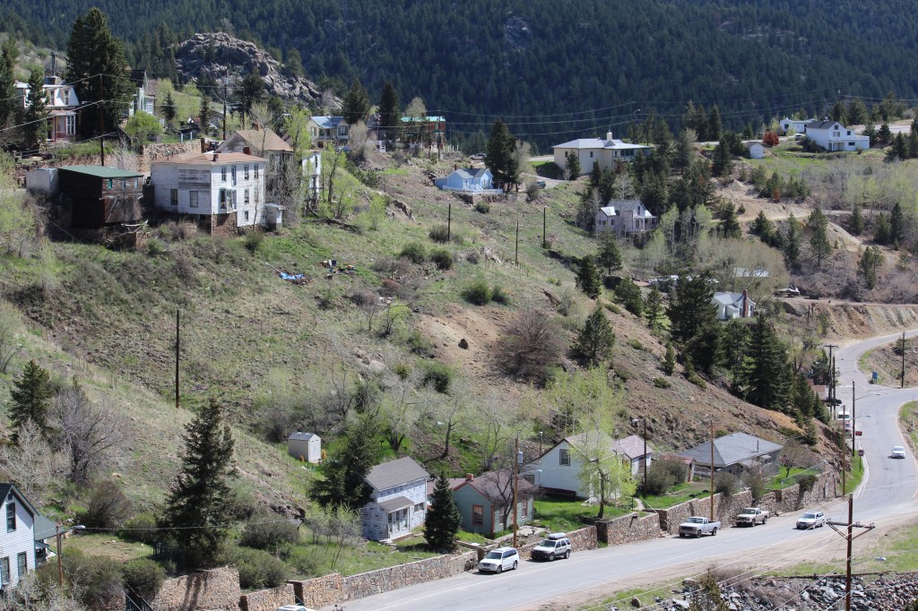
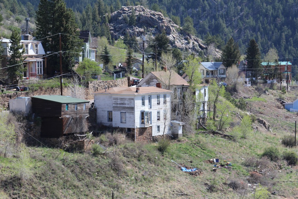
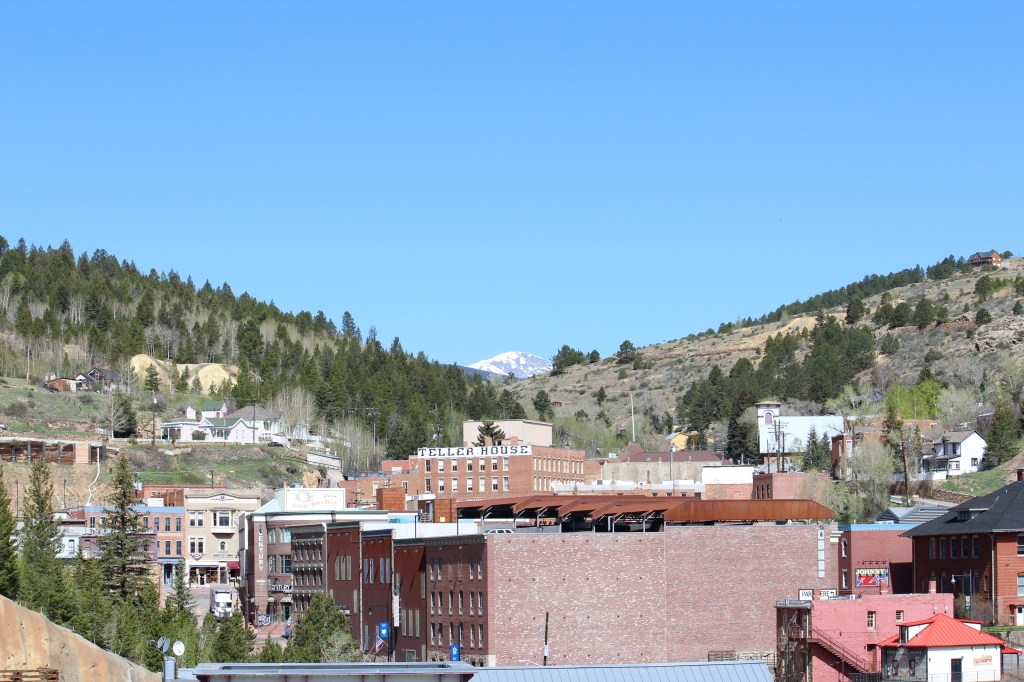
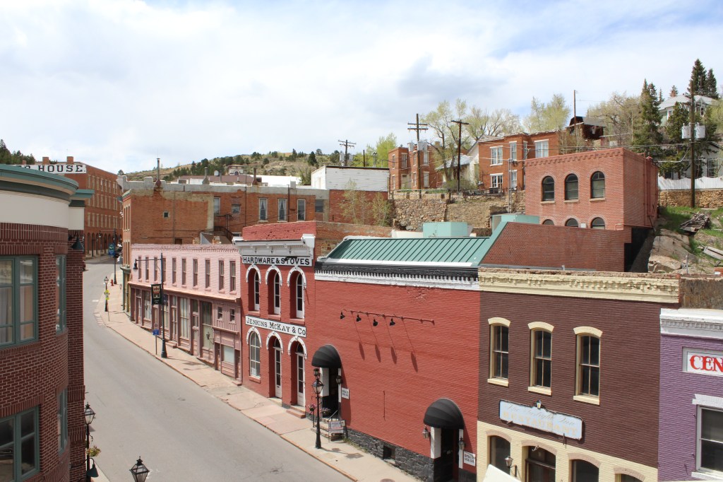
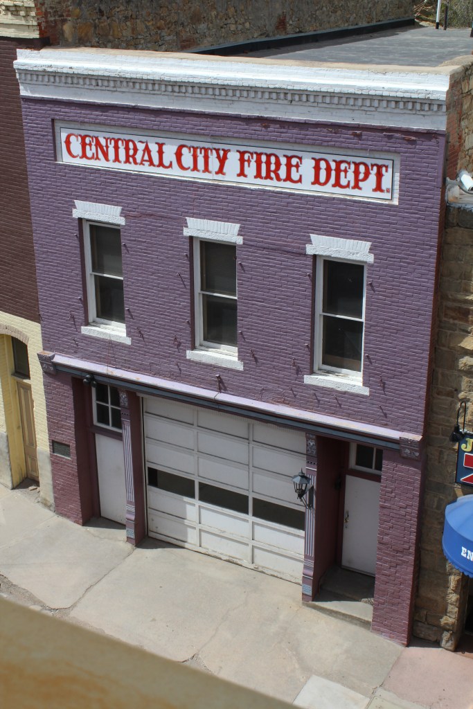
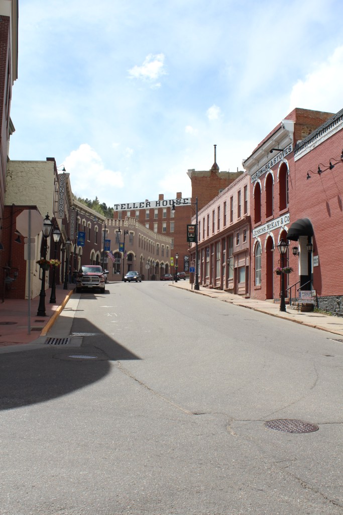
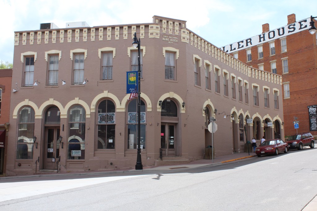
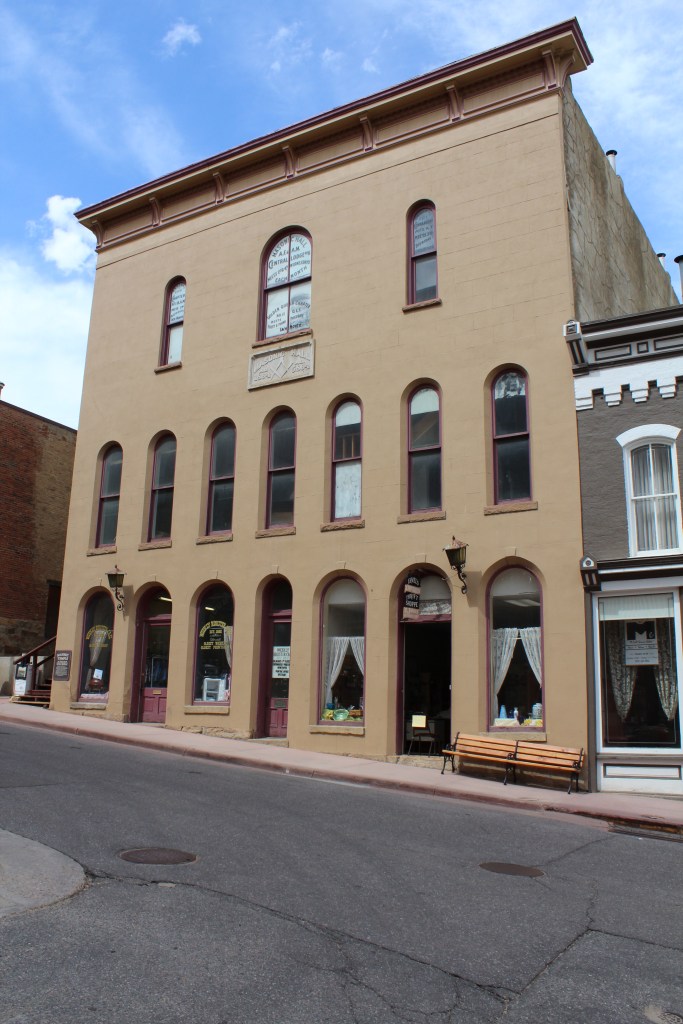
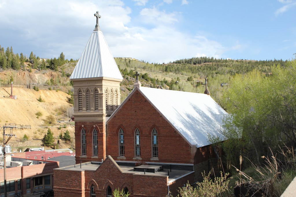
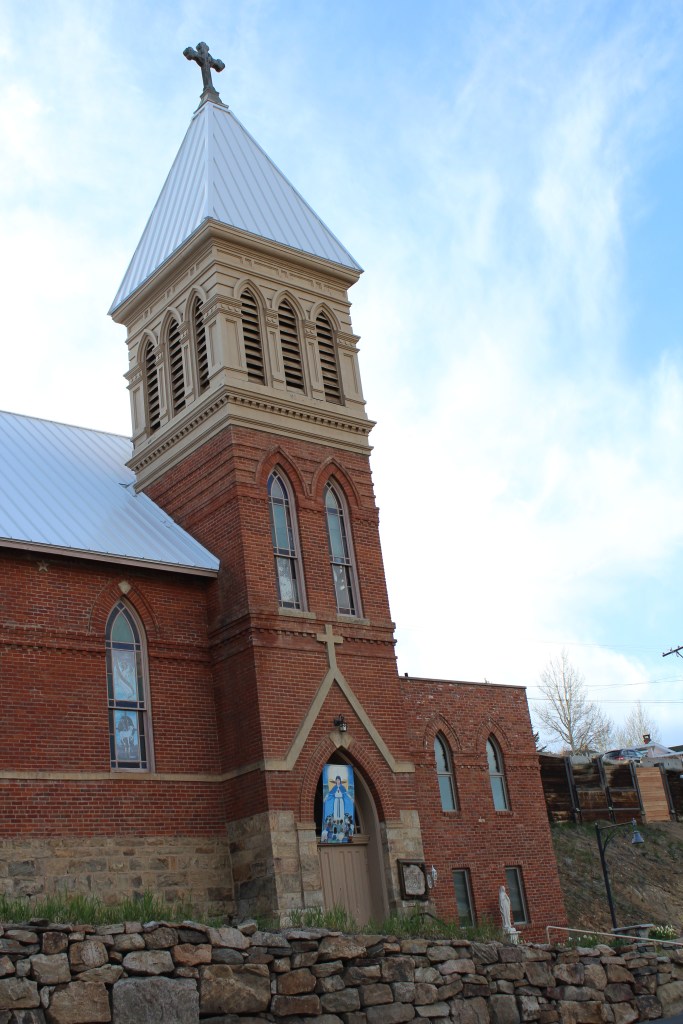
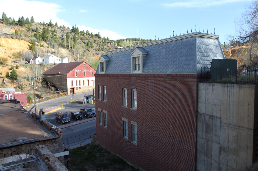
OK. Now we have walked up to downtown (elevation: 8450), which I can’t help but refer to as: The city center of Central City. FYI, I have never (yet) had a drone. The aerial-lookin’ shots below were actually taken from the top floor of a parking structure. Yes, I am that old-school.

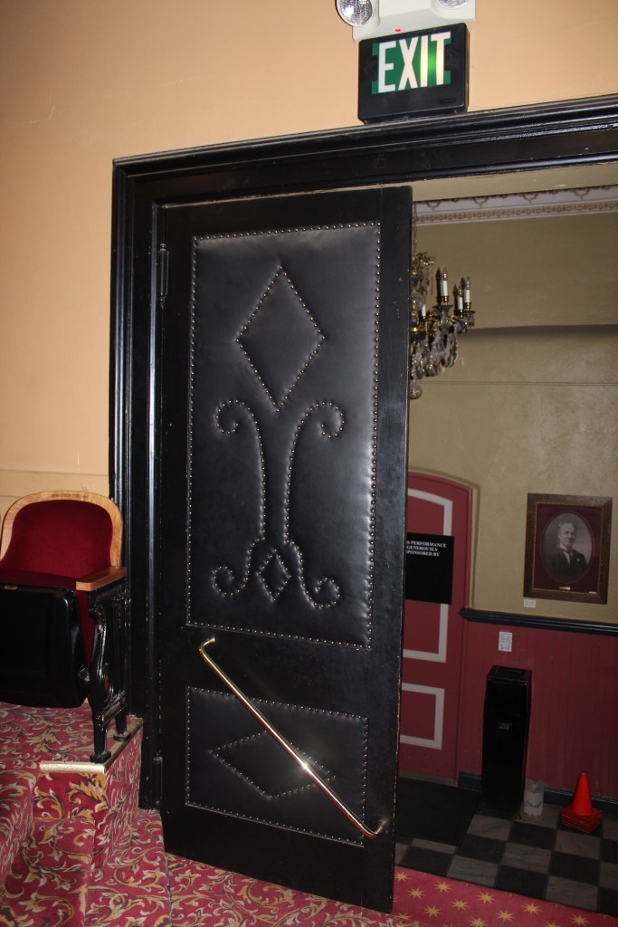
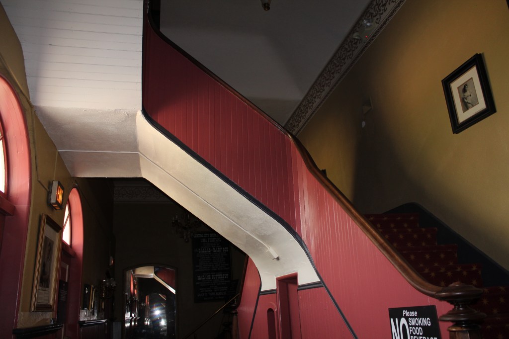
After mucking about a bit, I continued uphill to the Central City Opera House. Every big mining town had an opera house back in the day. ‘Cause there’s nothing miners enjoy more than opera! This particular opera house still hosts performances; and when there aren’t any performances going on, you can take a guided tour of the place. And that’s just what I did. As is my style, I didn’t take many pictures…just kinda soaked it all in. Here’s a sampling of the few I did take…


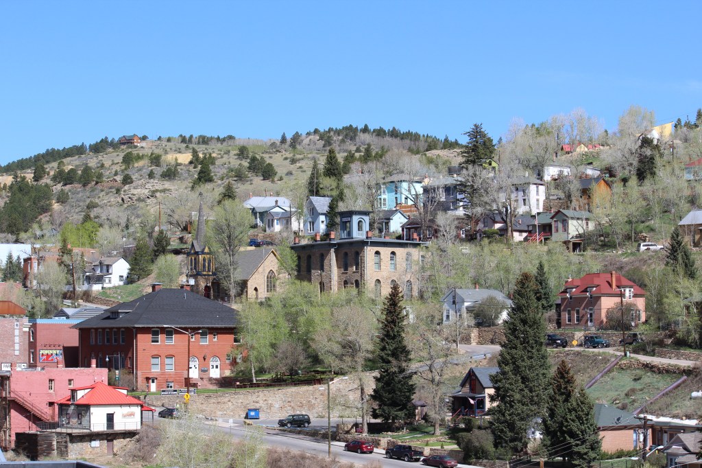
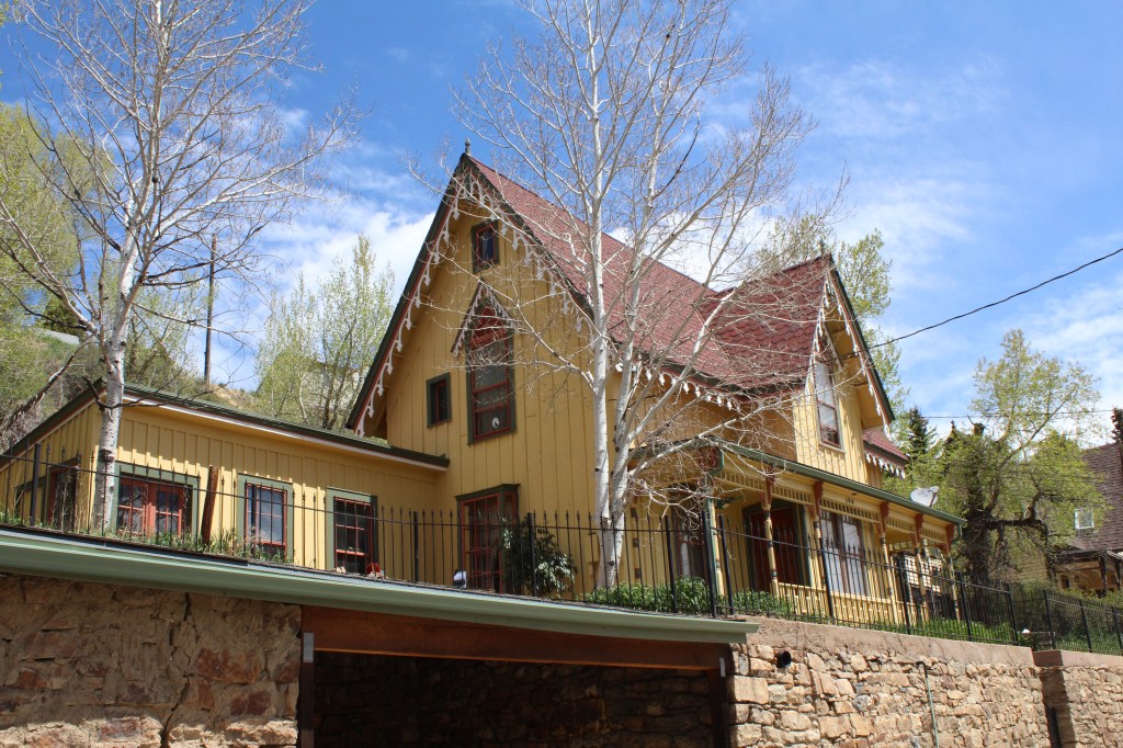
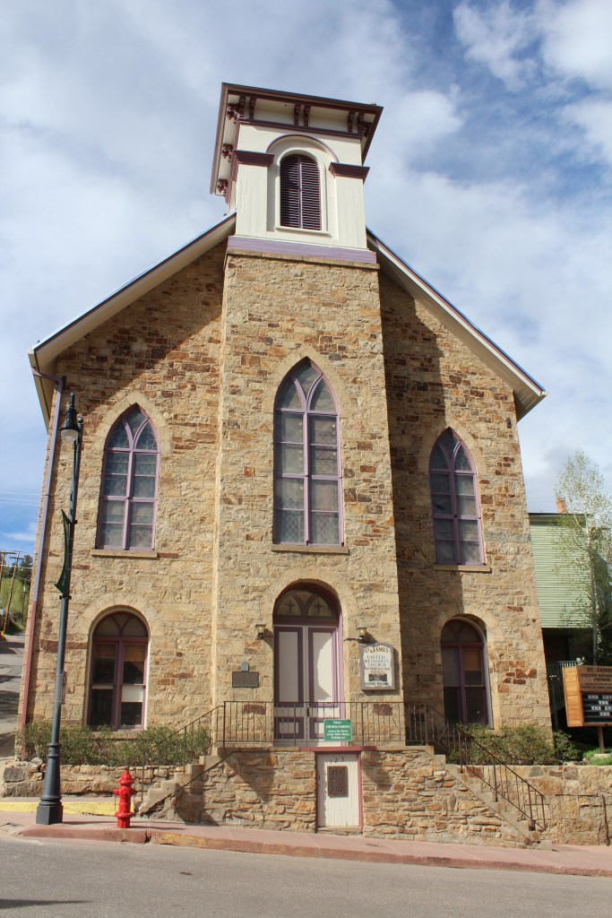
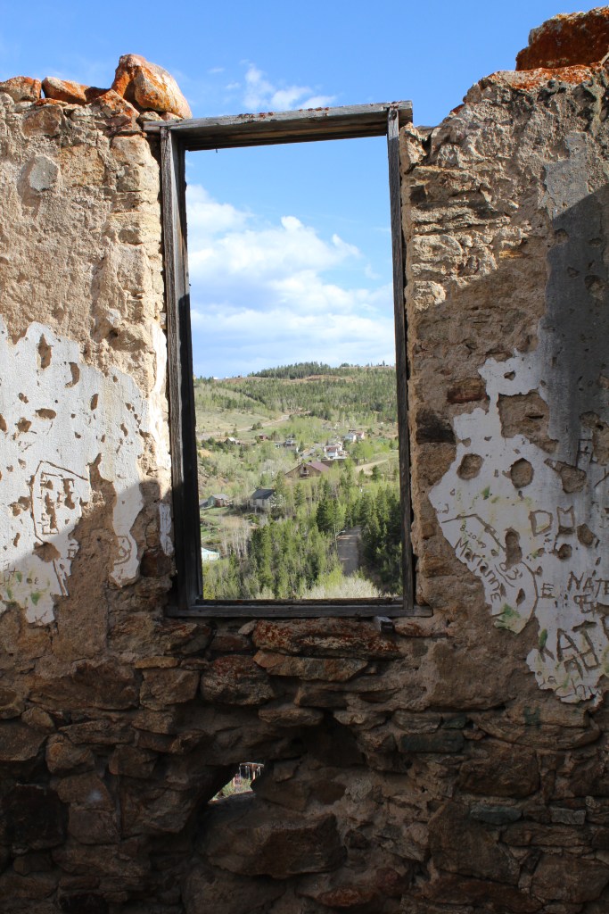
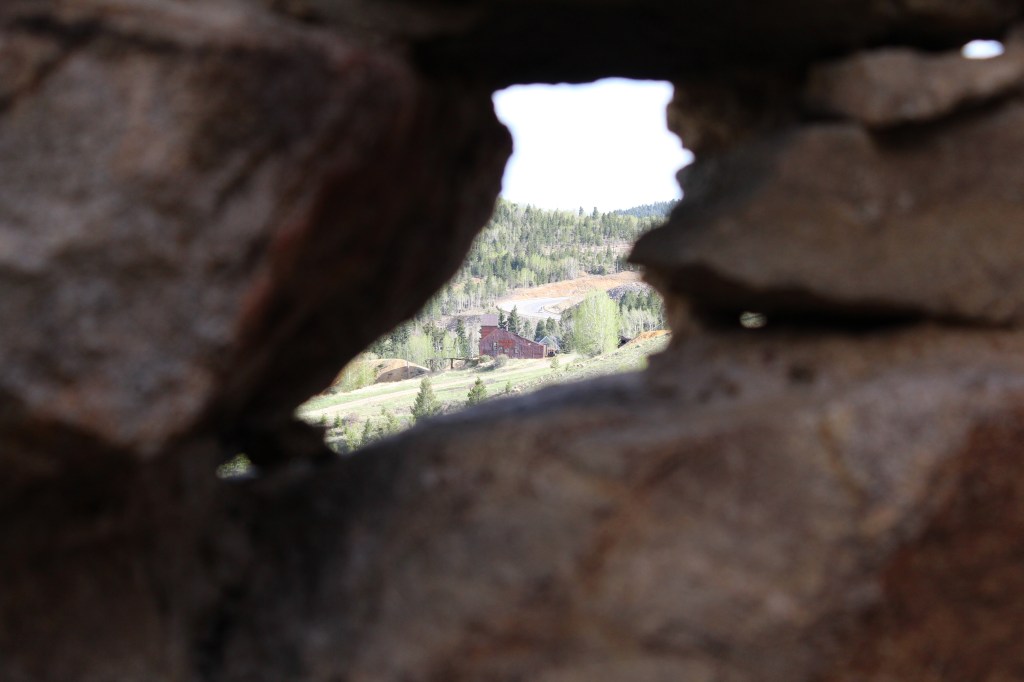
After the opry tour, I continued to walk uphill, into the northwest portion of town. Plenty of historic stuff in this area, too…


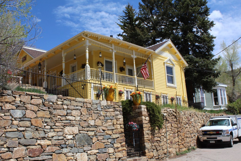
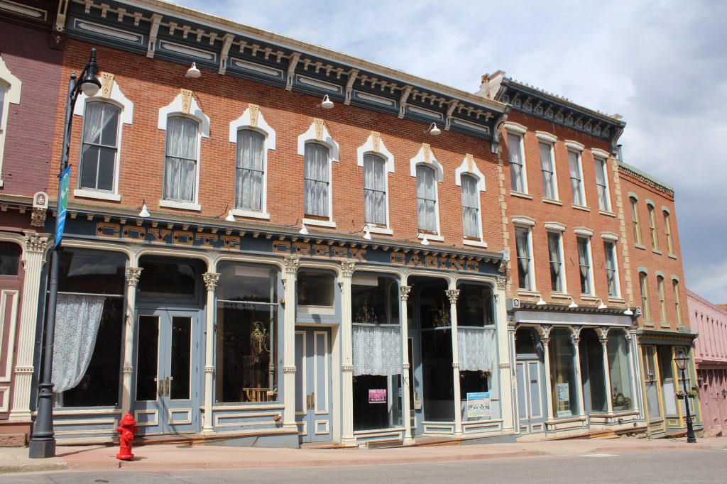
Next I turned to the south and walked a street (yes, I’m a street walker) just west of downtown, where I captured these images…


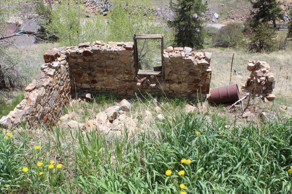
Und finally, I found myself in the southwest part of town. Not many old houses in this area, but some interesting stuff nonetheless…

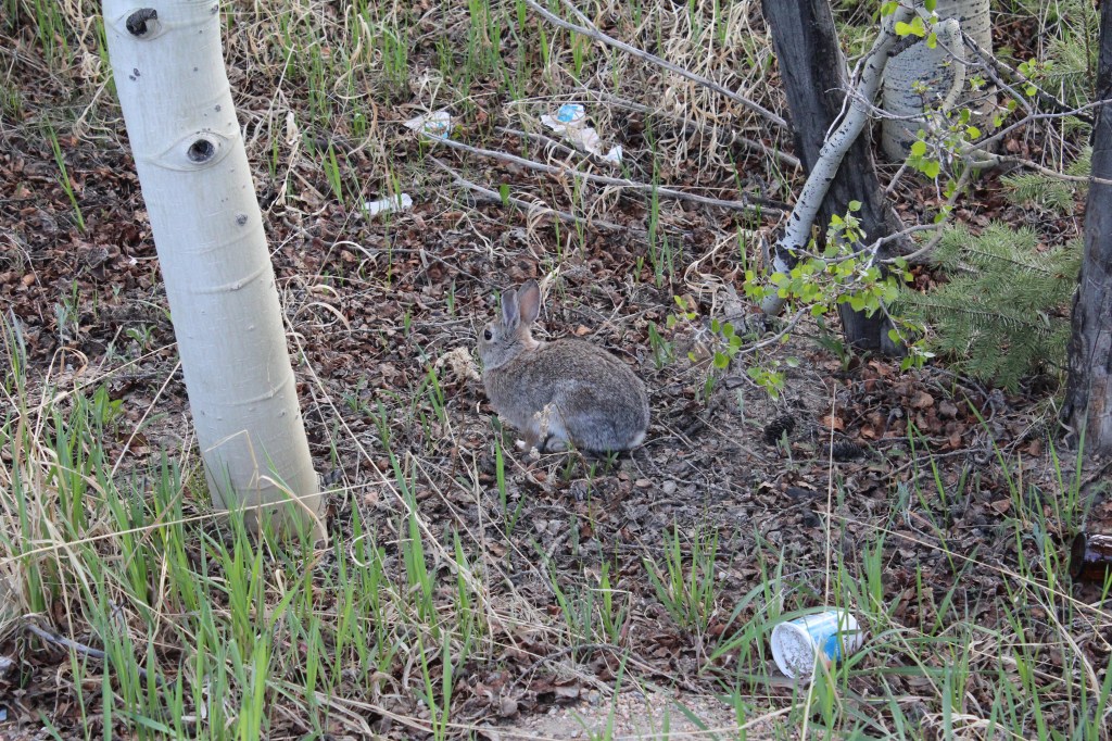
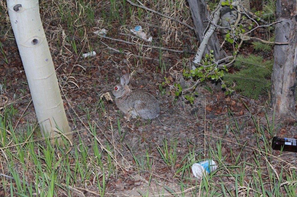
A murderous bunny…now THAT is how you close out a blog post!
