
Continued from part five…
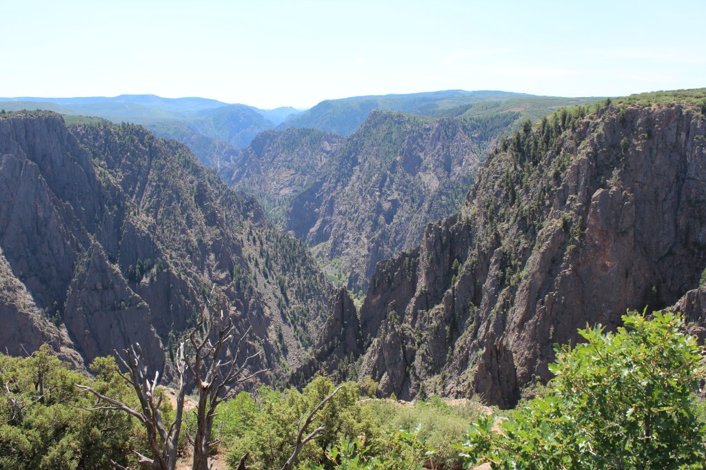
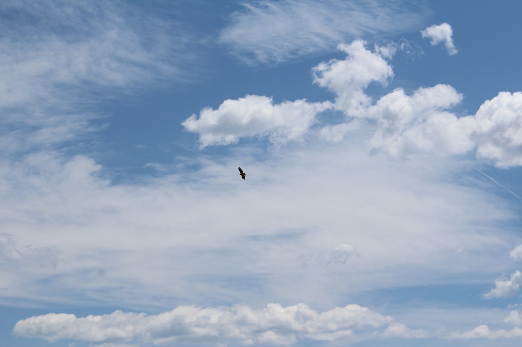
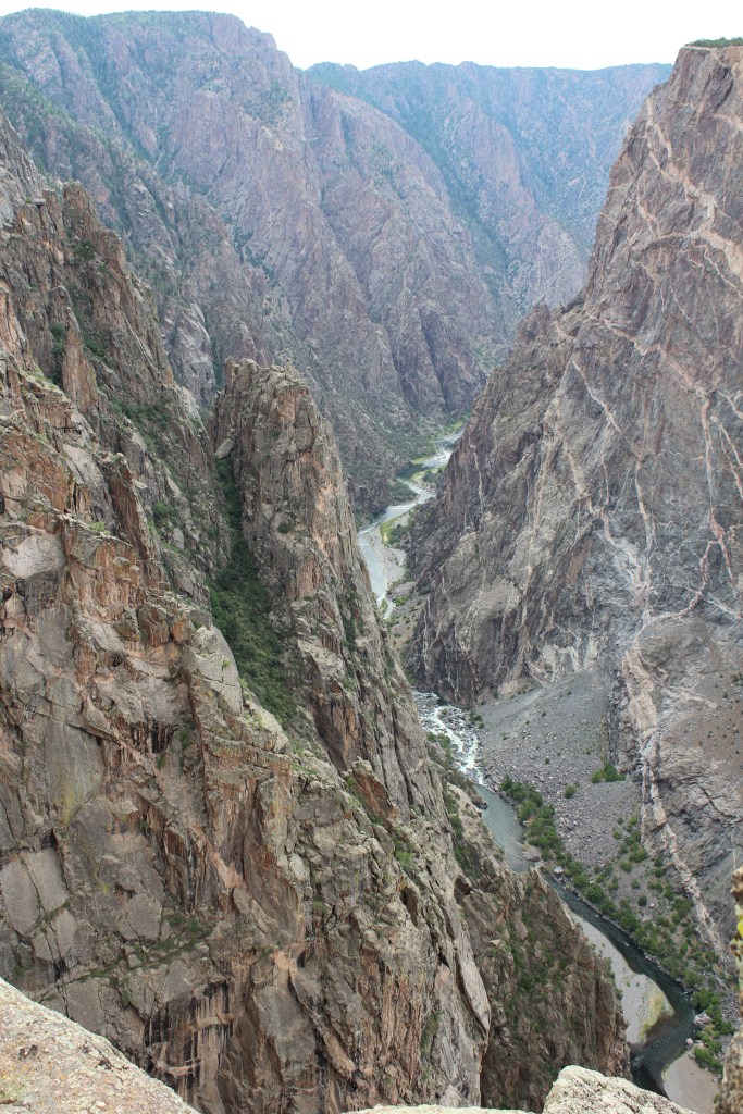
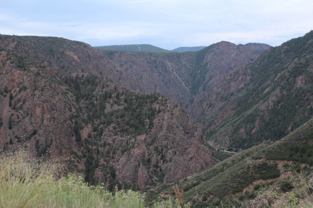
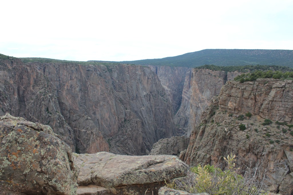
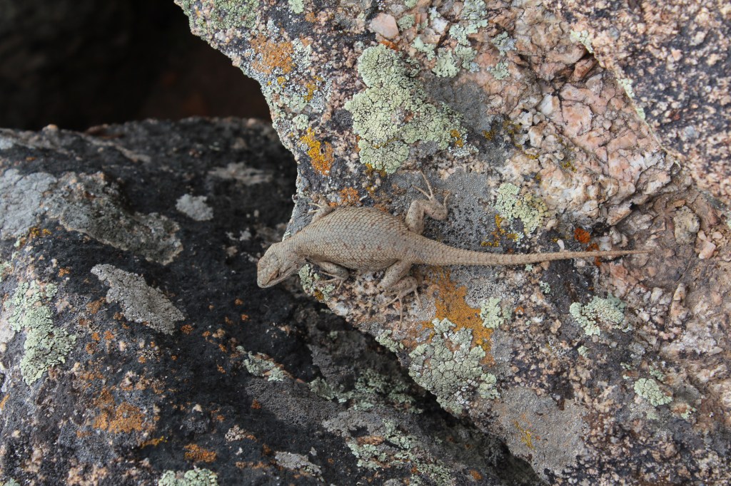
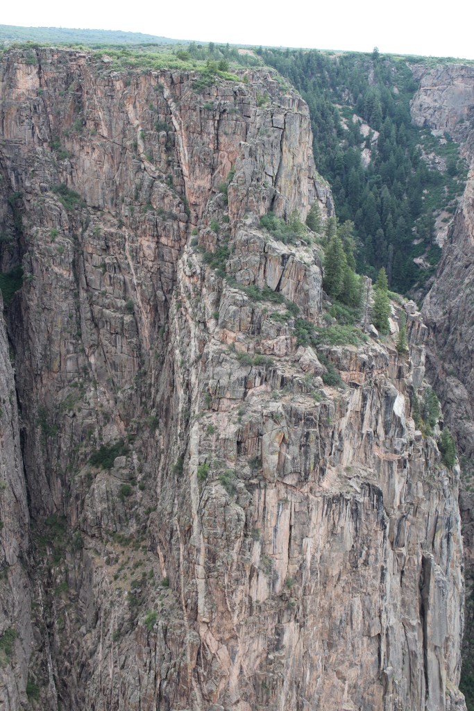
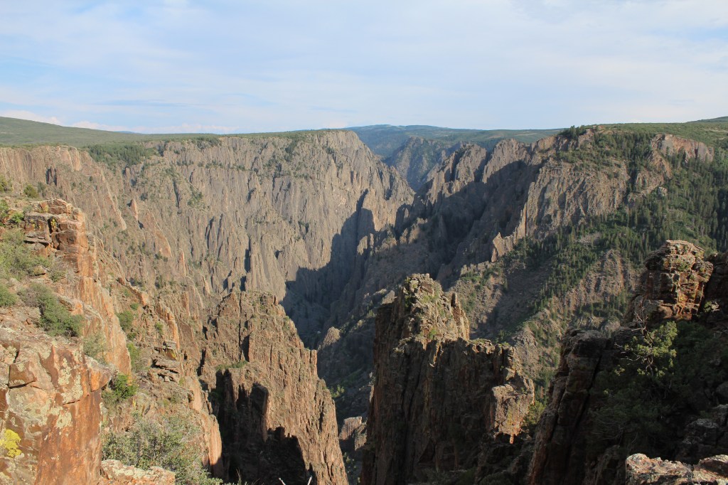
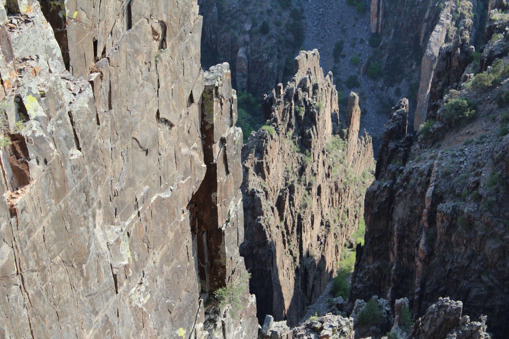
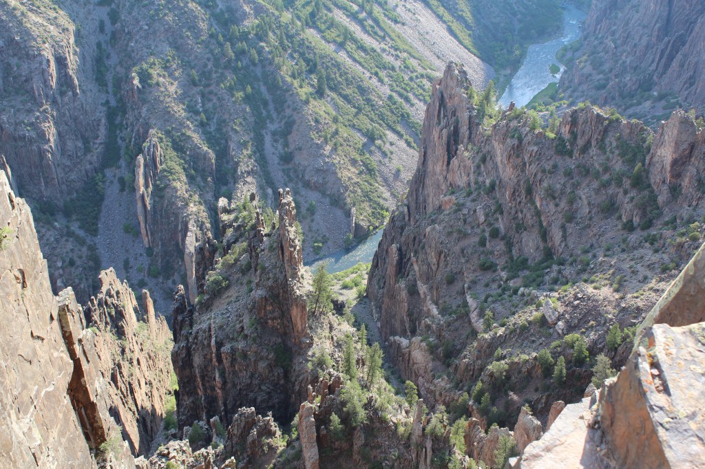
My next destination on this trip was Black Canyon of the Gunnison National Park. You may recall that I’ve posted photos from Black Canyon before. Those were actually from a more recent visit (July 2019). The photos below are from my first visit to Black Canyon, i.e., this “Leftover Colorado” trip in July 2013. Please enjoy these visual aids:
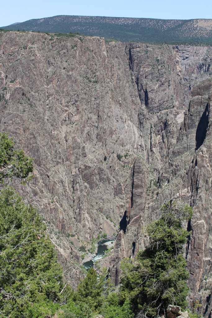
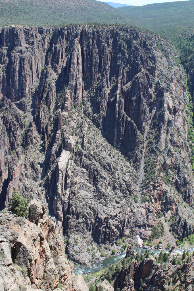
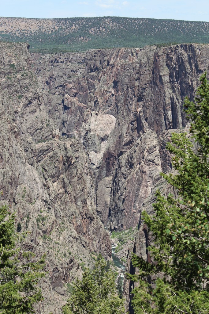
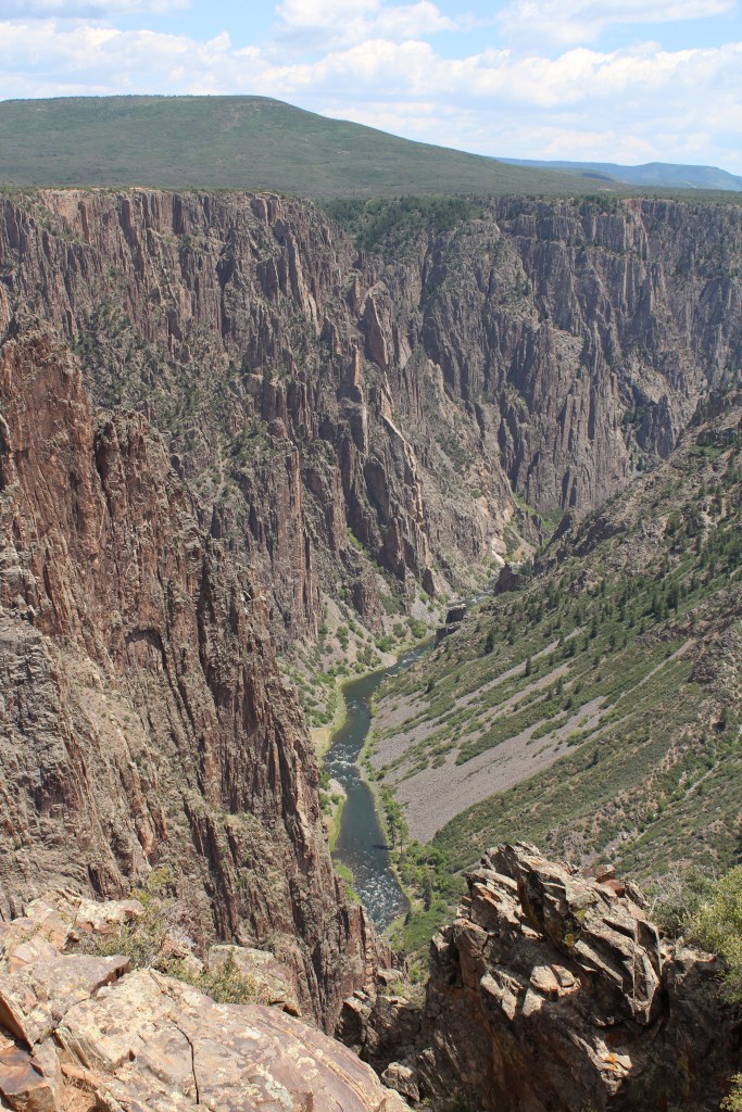
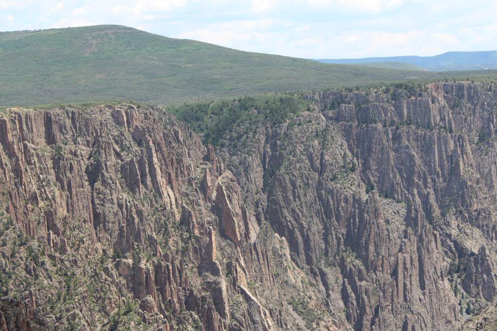
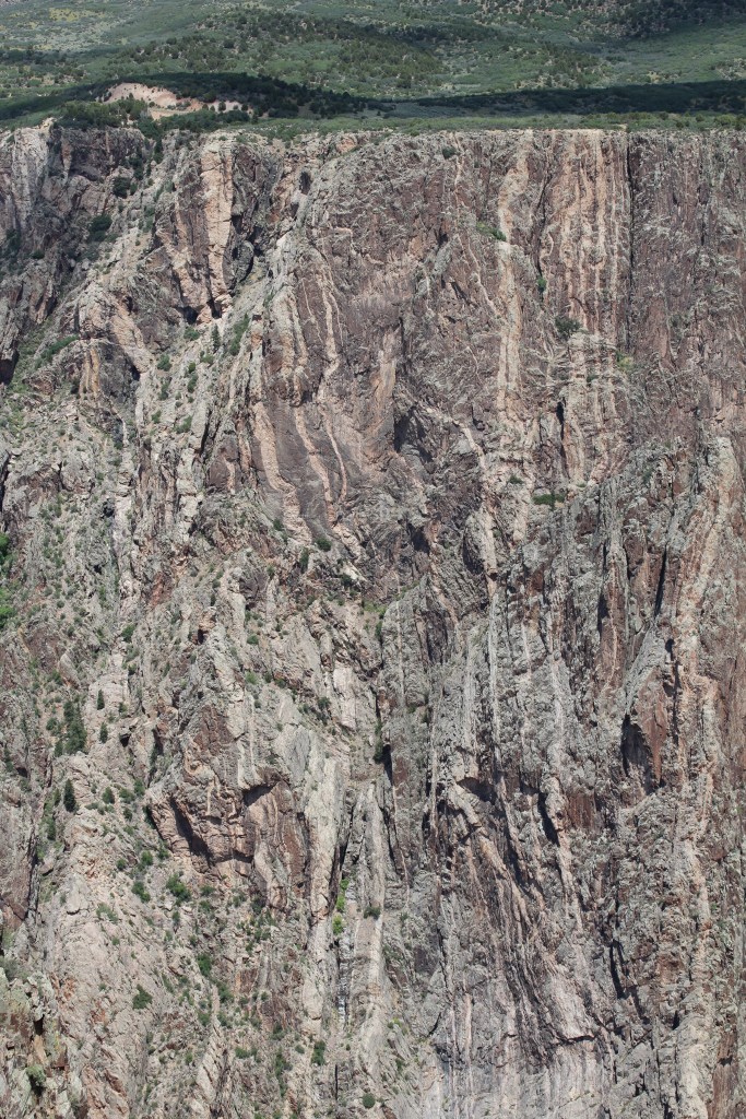
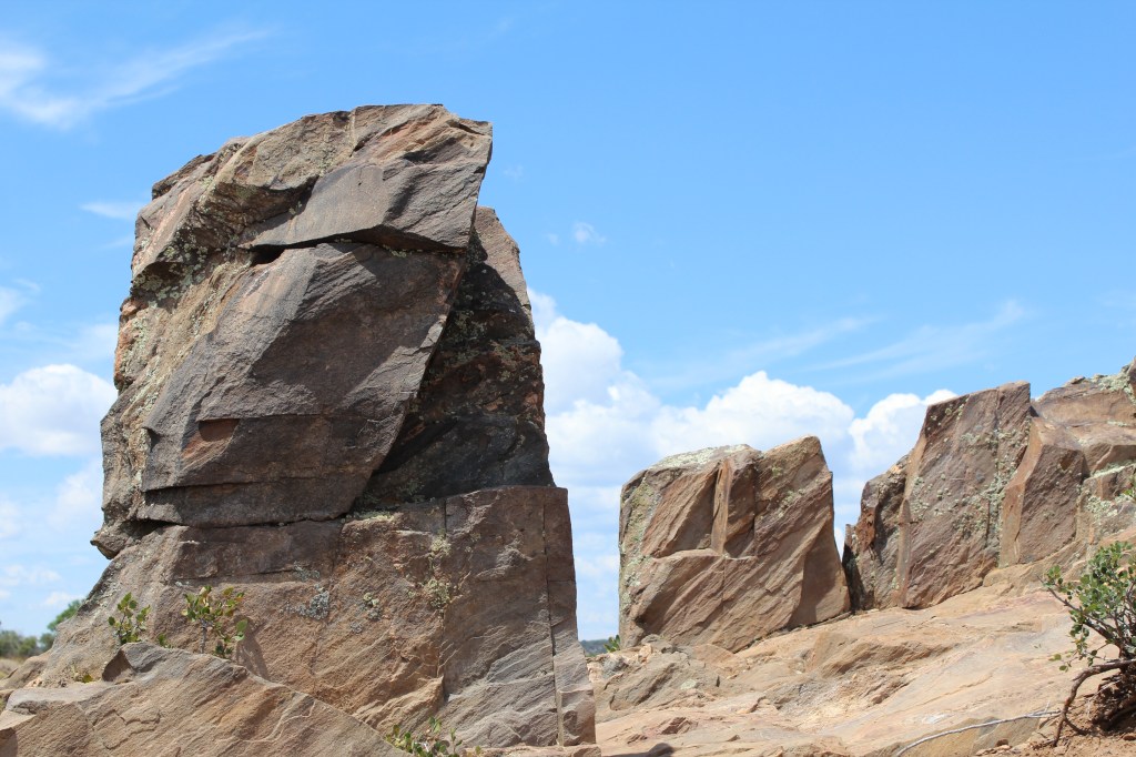
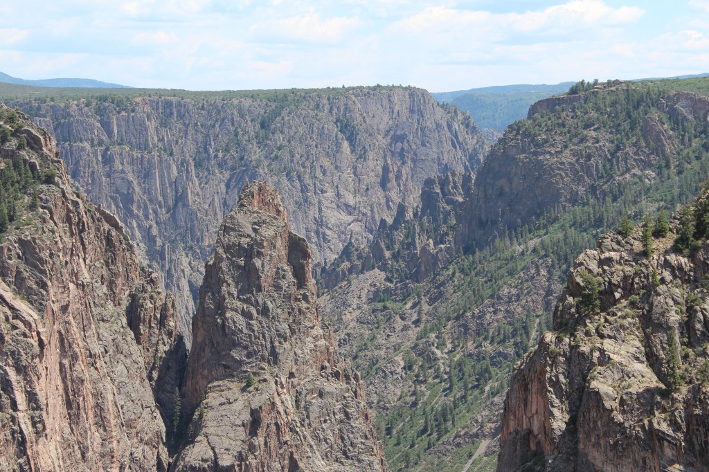
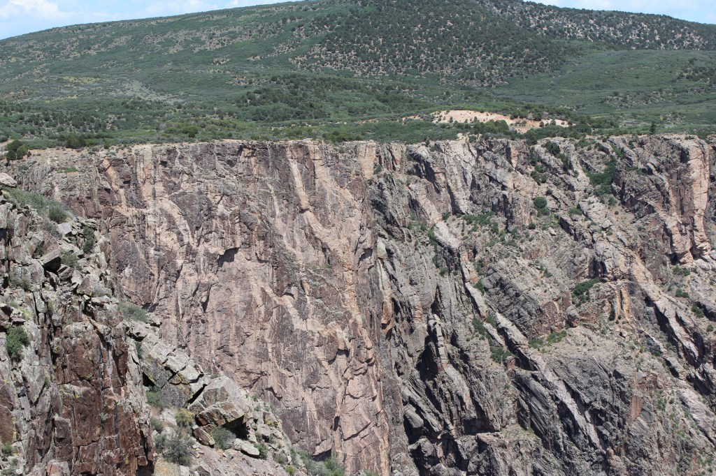

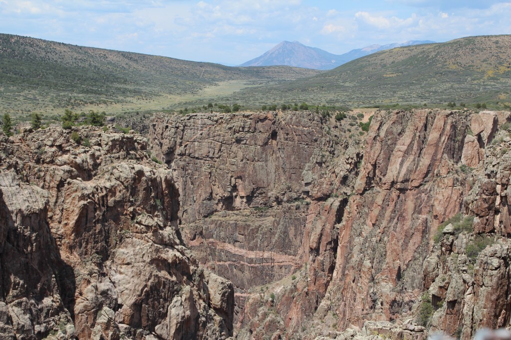
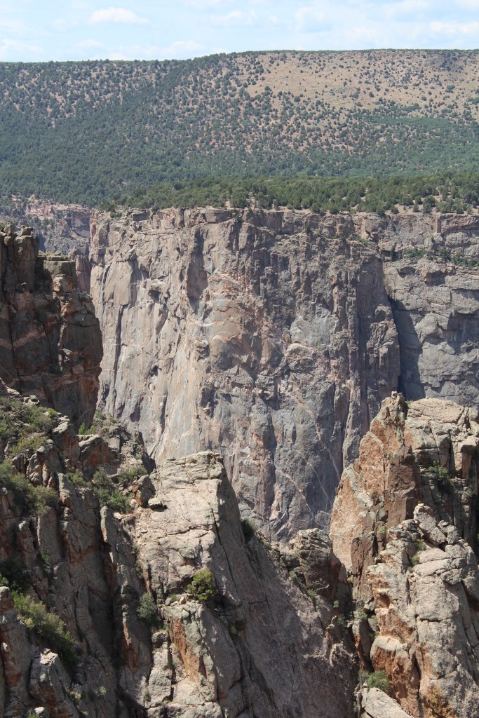
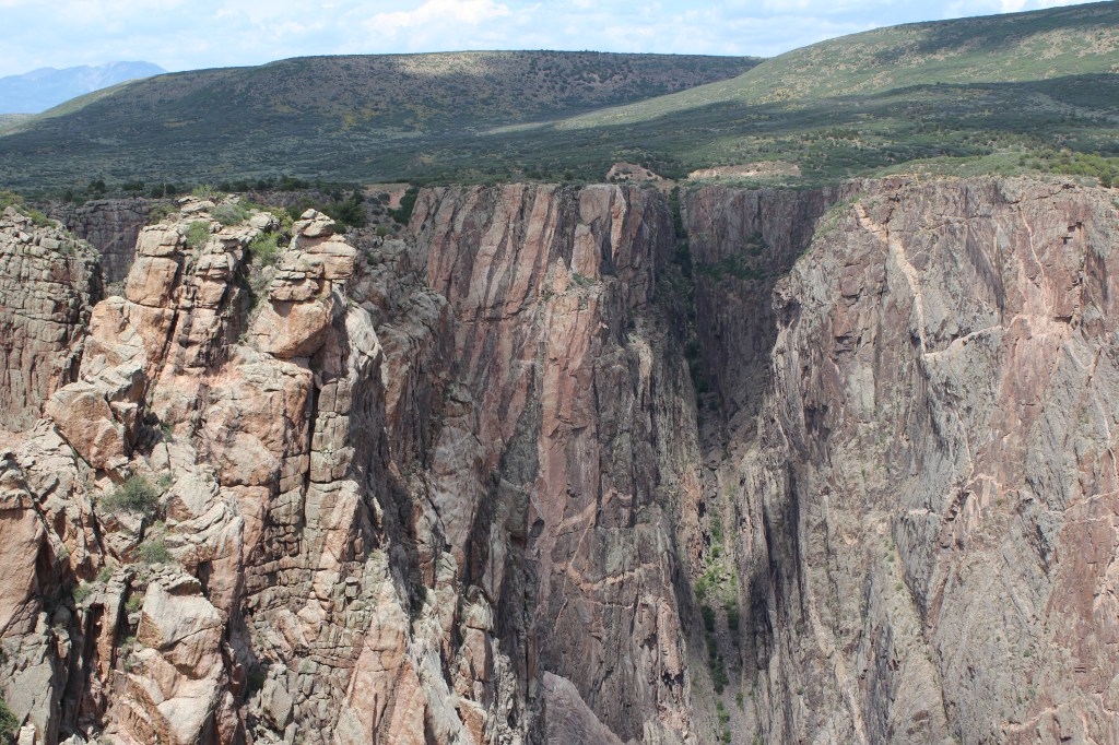
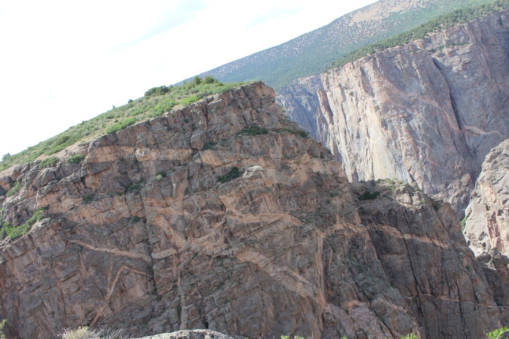
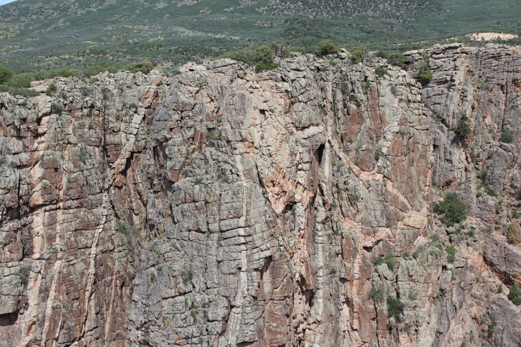
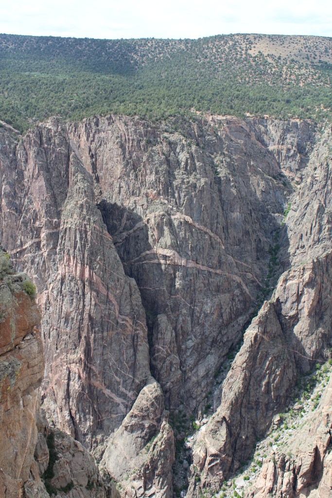
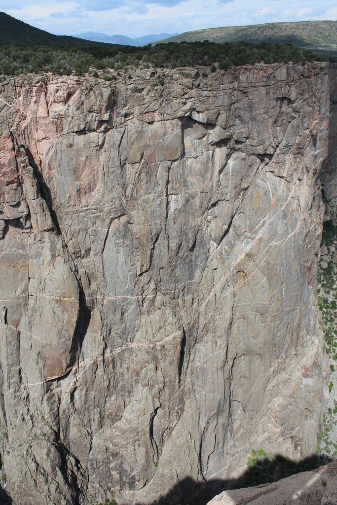
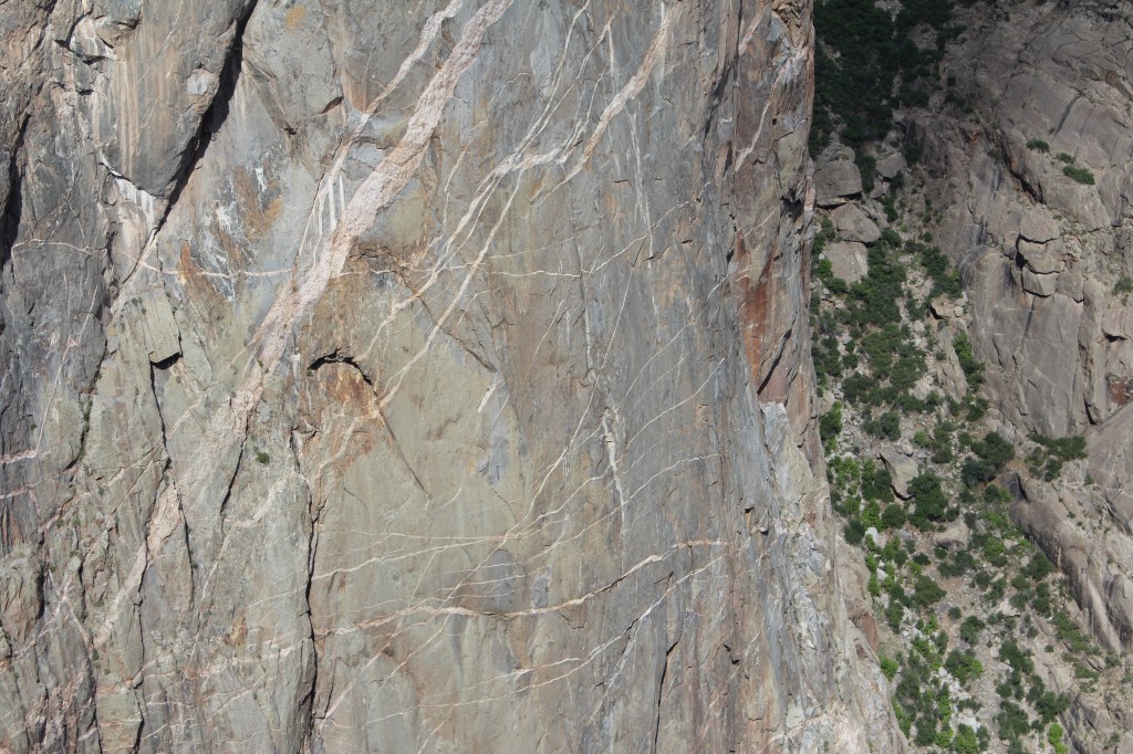
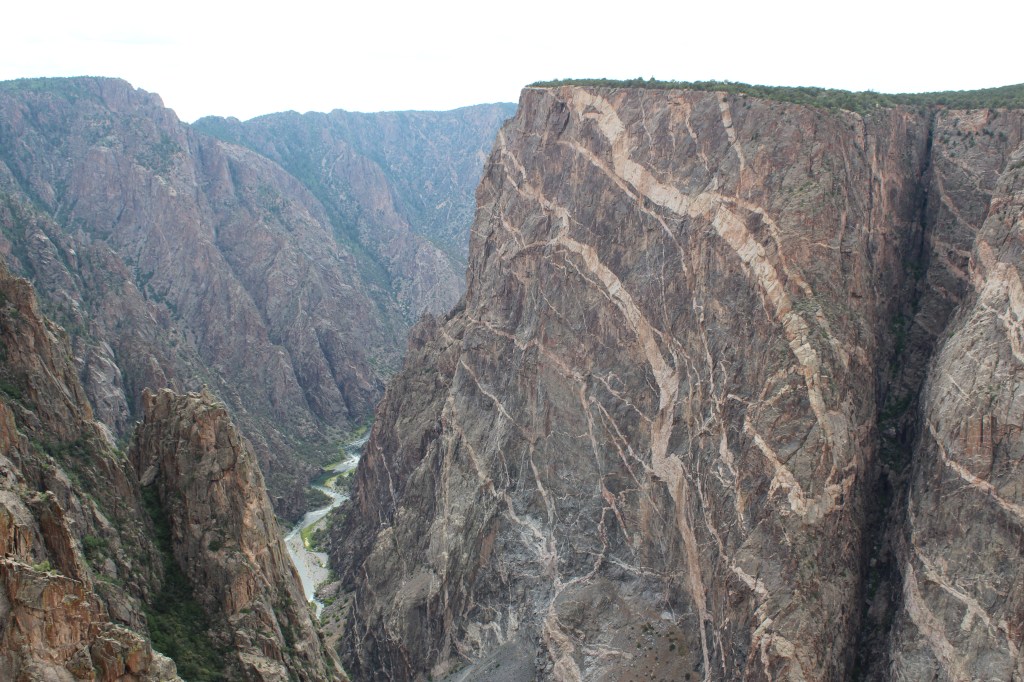
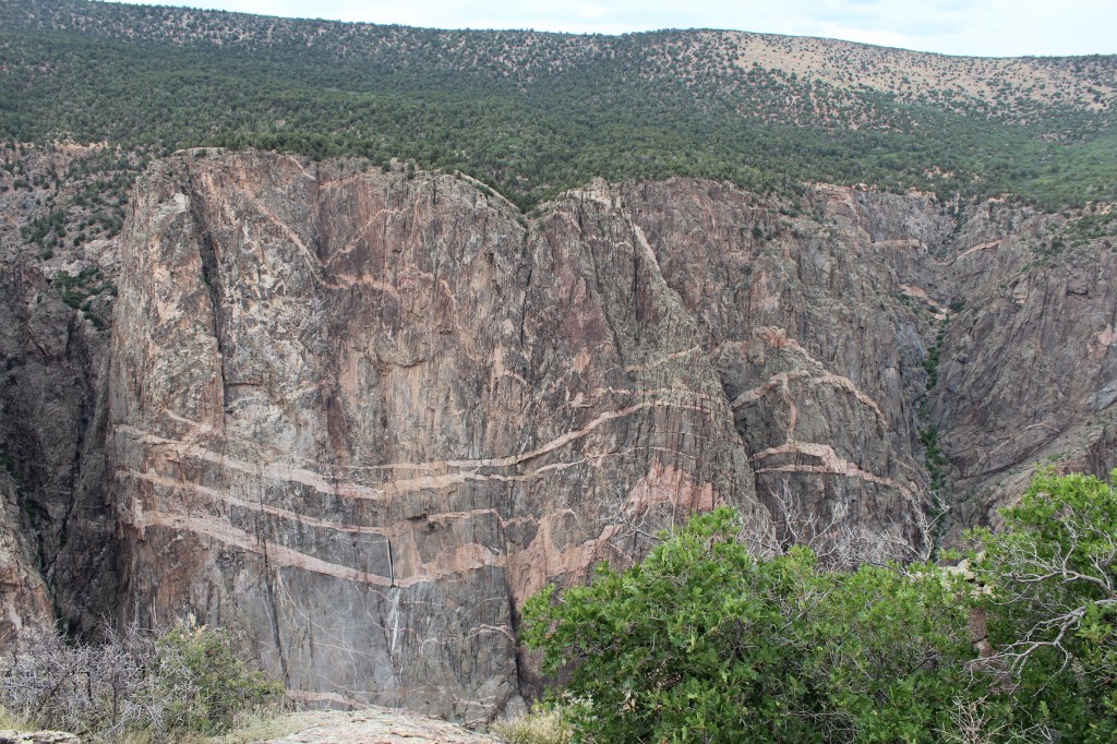
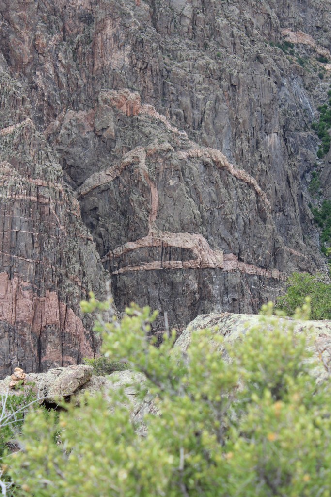
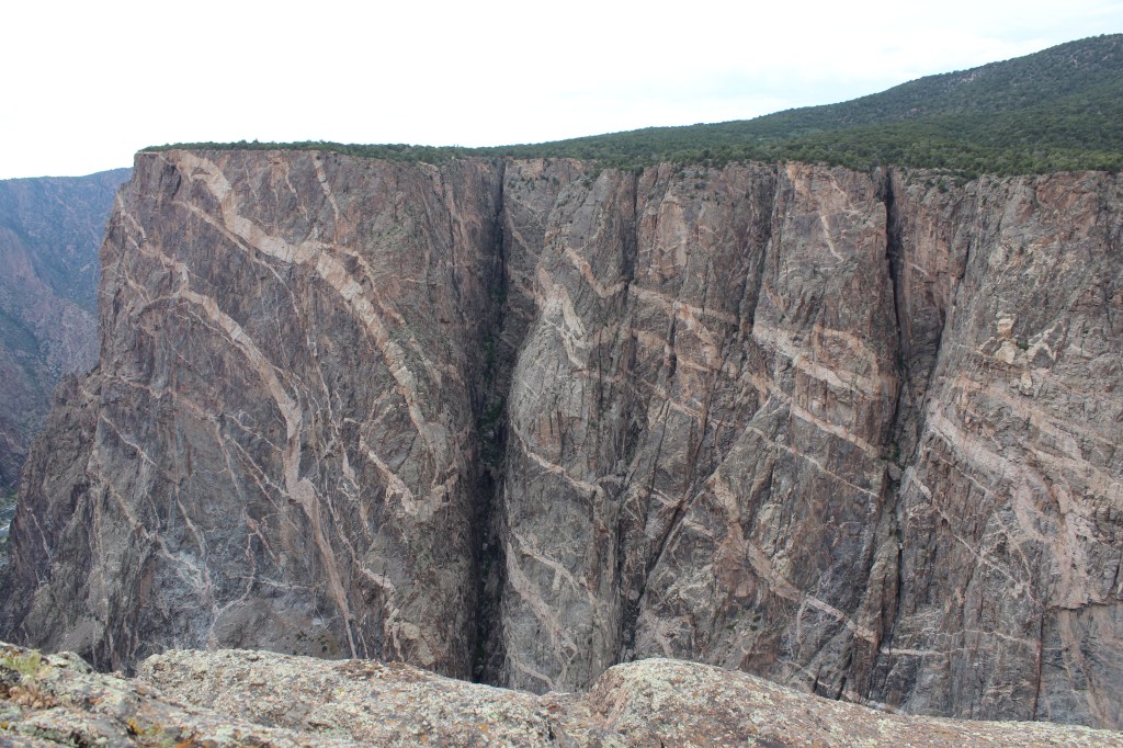
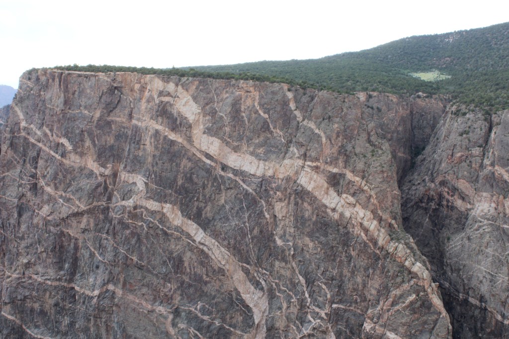
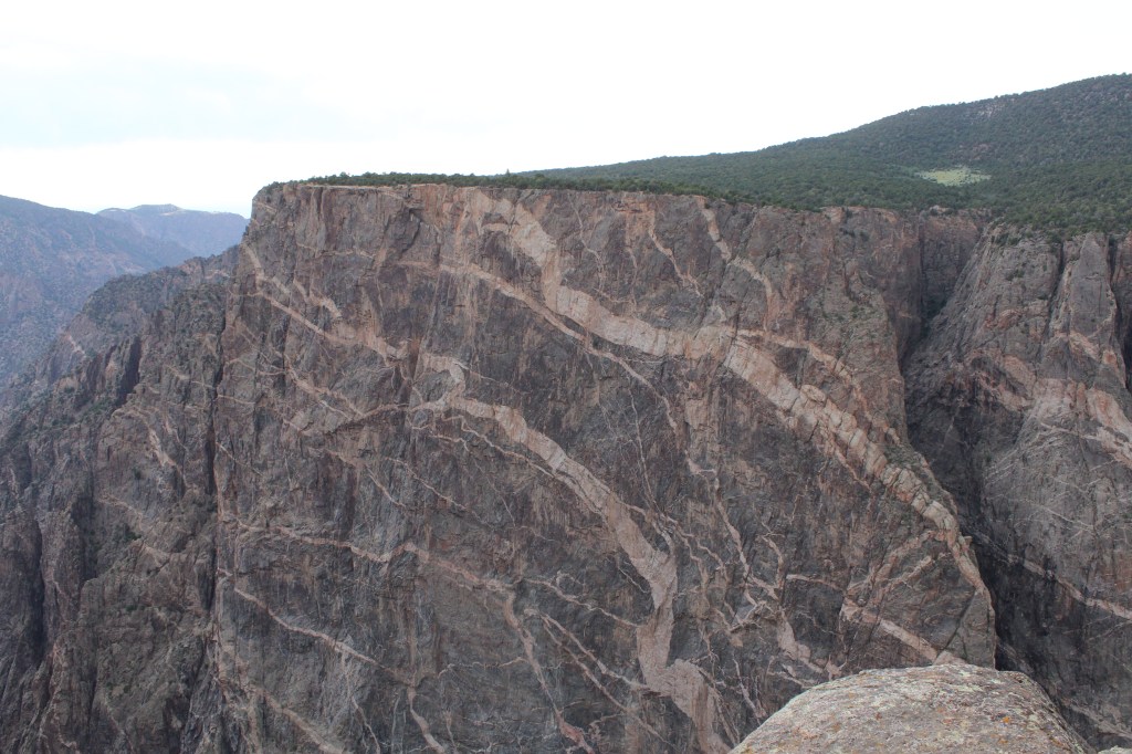
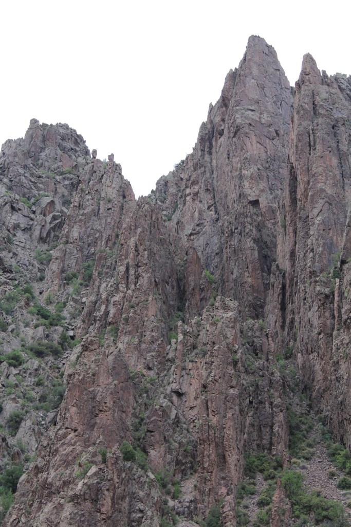
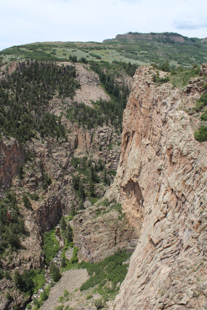
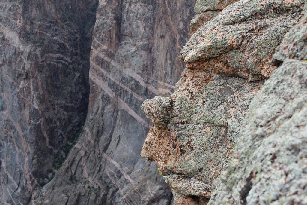
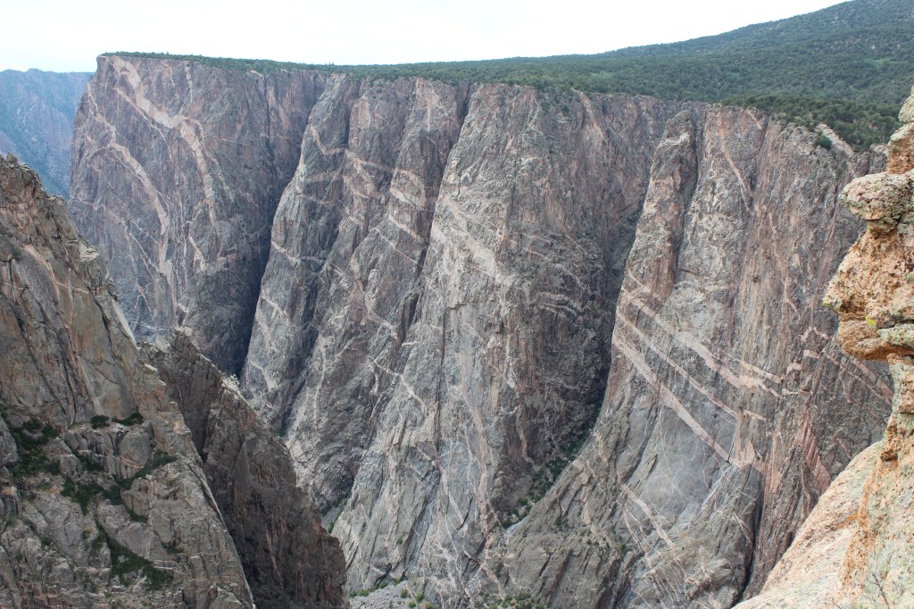
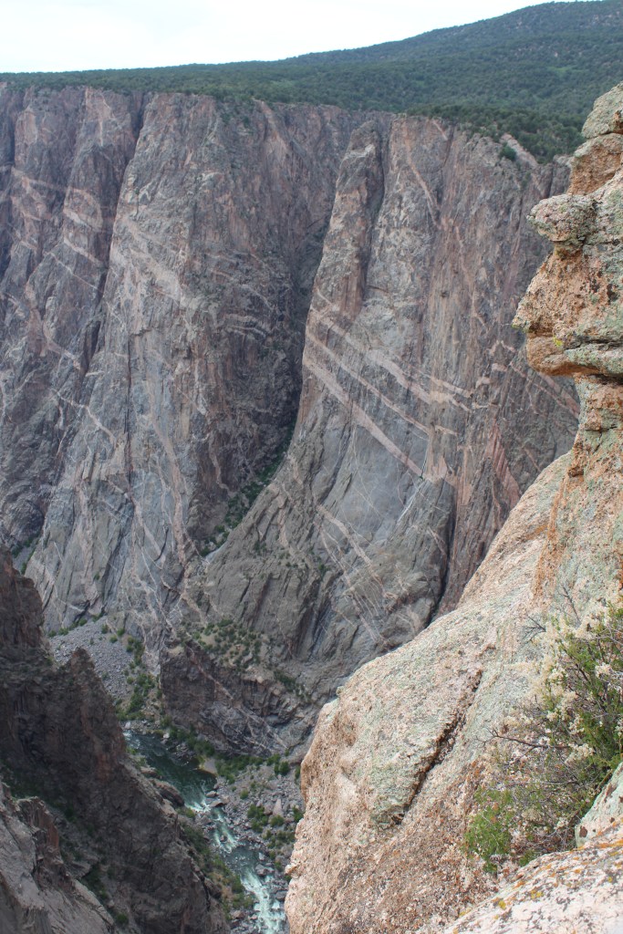
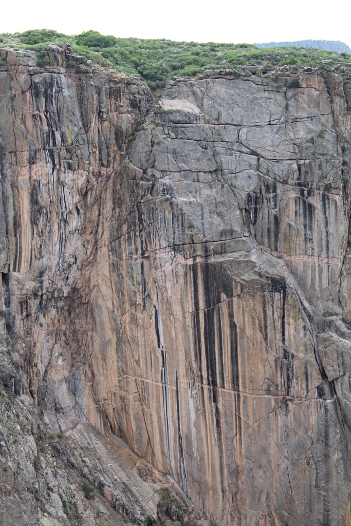
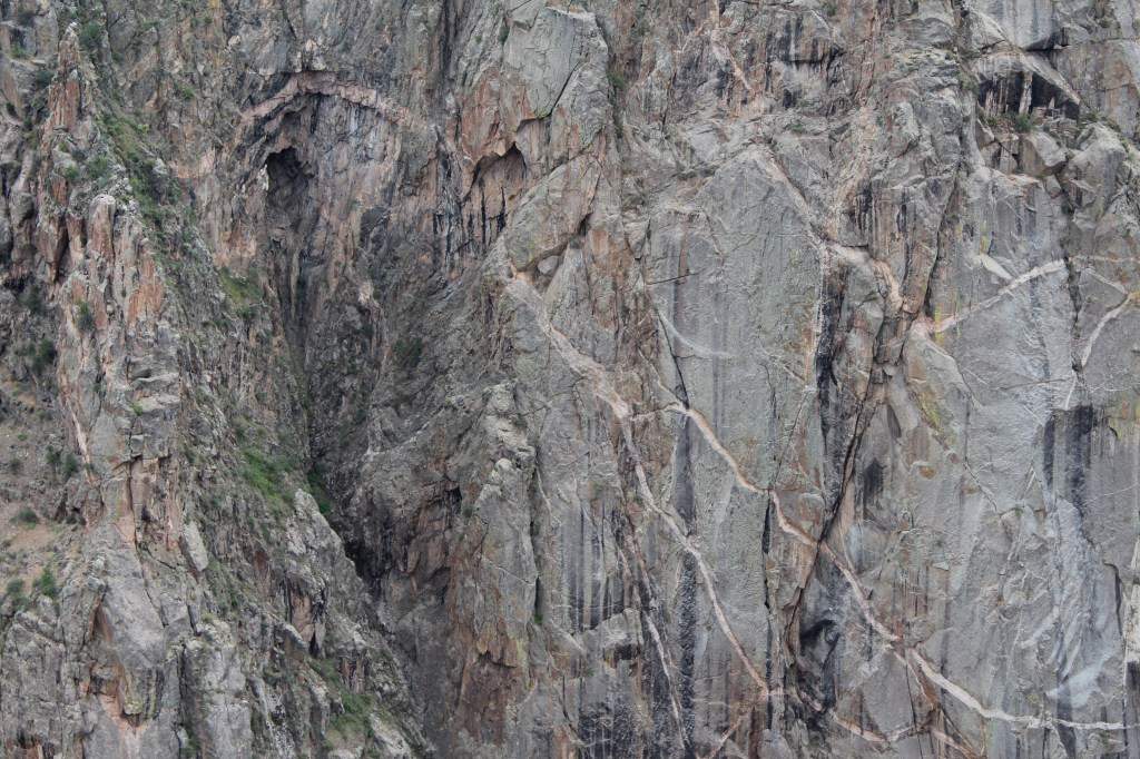
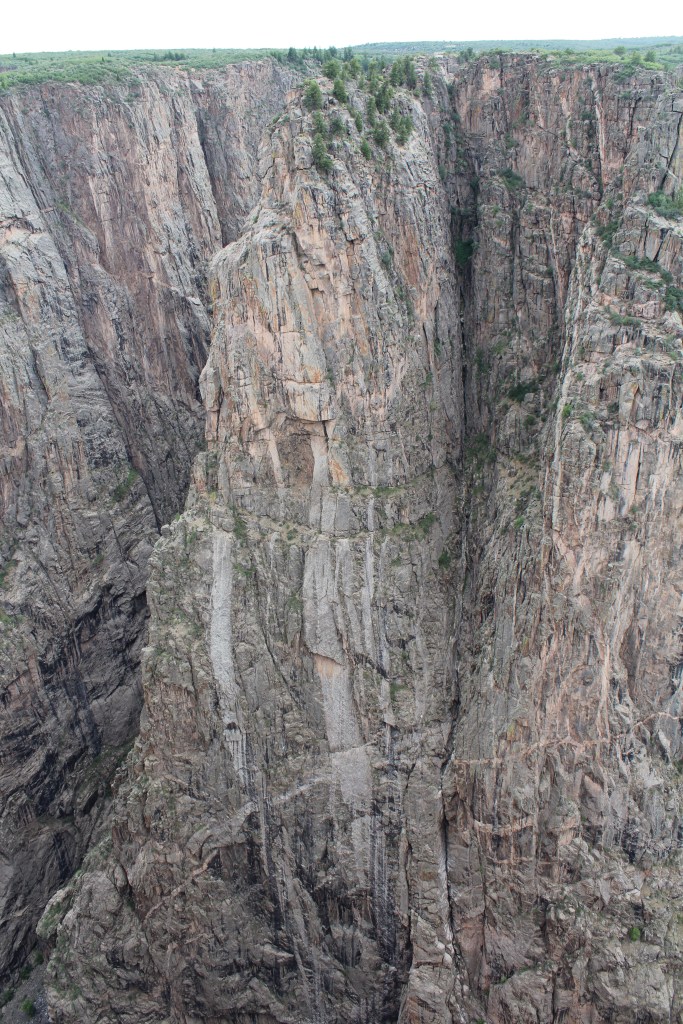
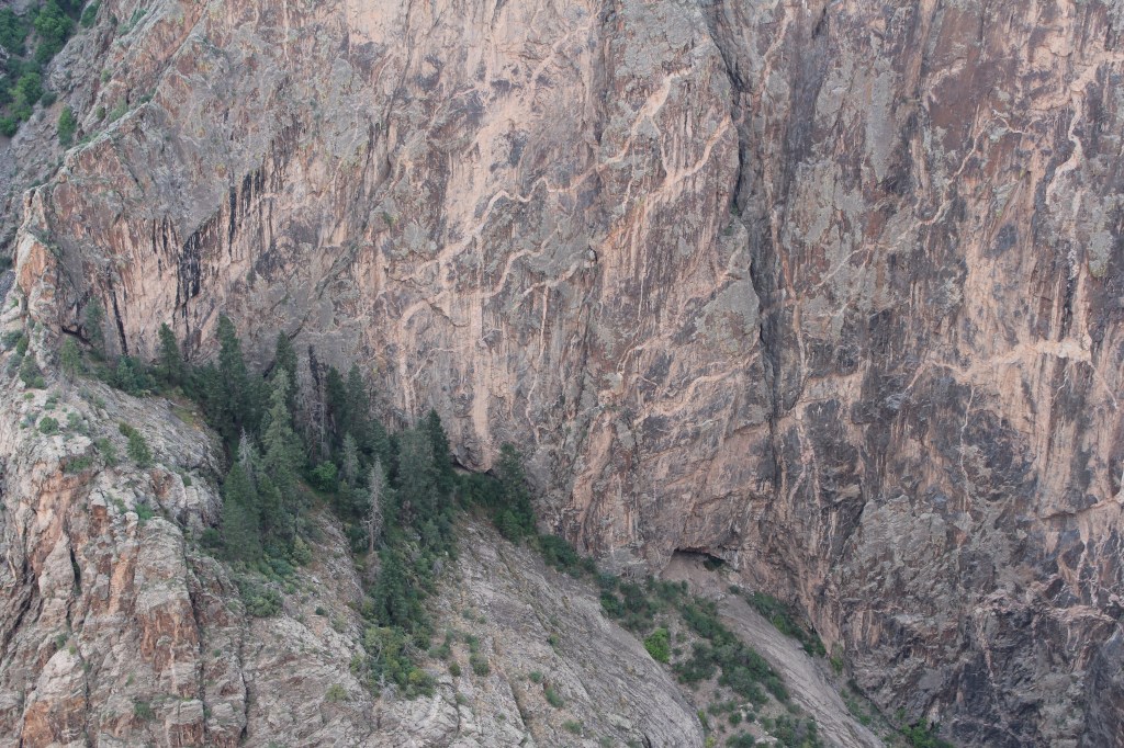
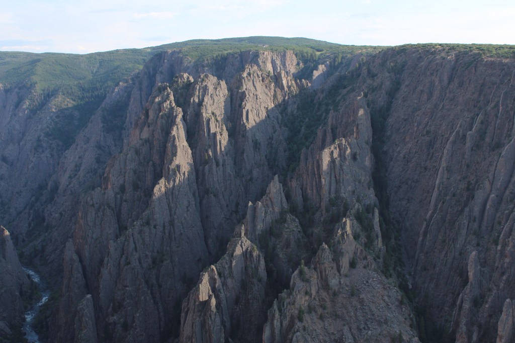
Near the end of the park’s main road, there are multiple overlooks where you can view the aptly named Painted Wall. This is the most famous feature of the park, and for good reason. Check it all out:
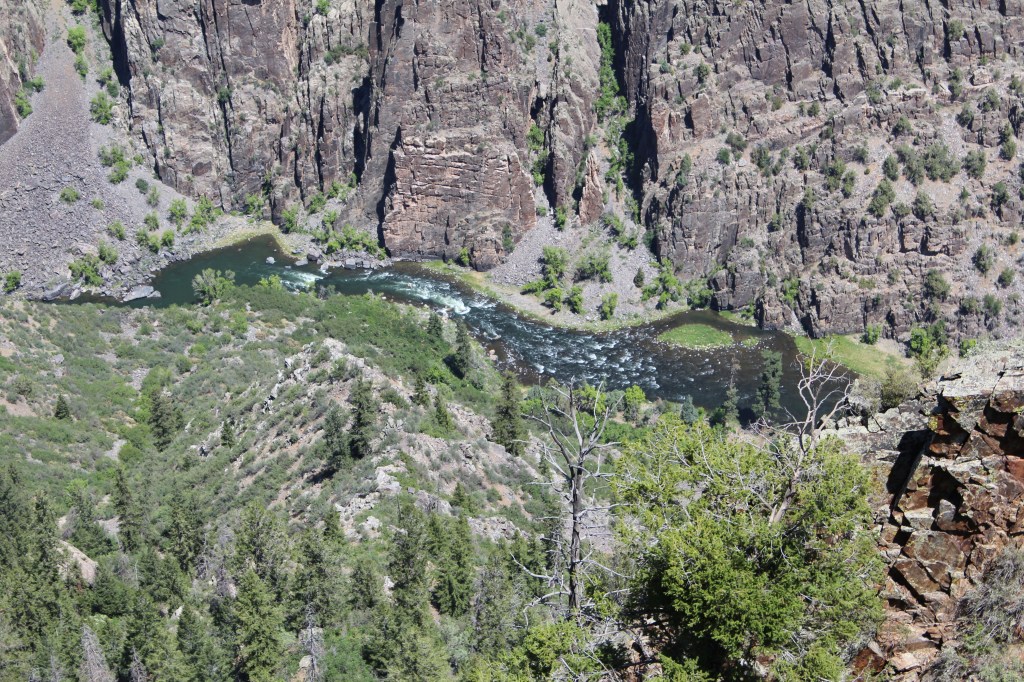
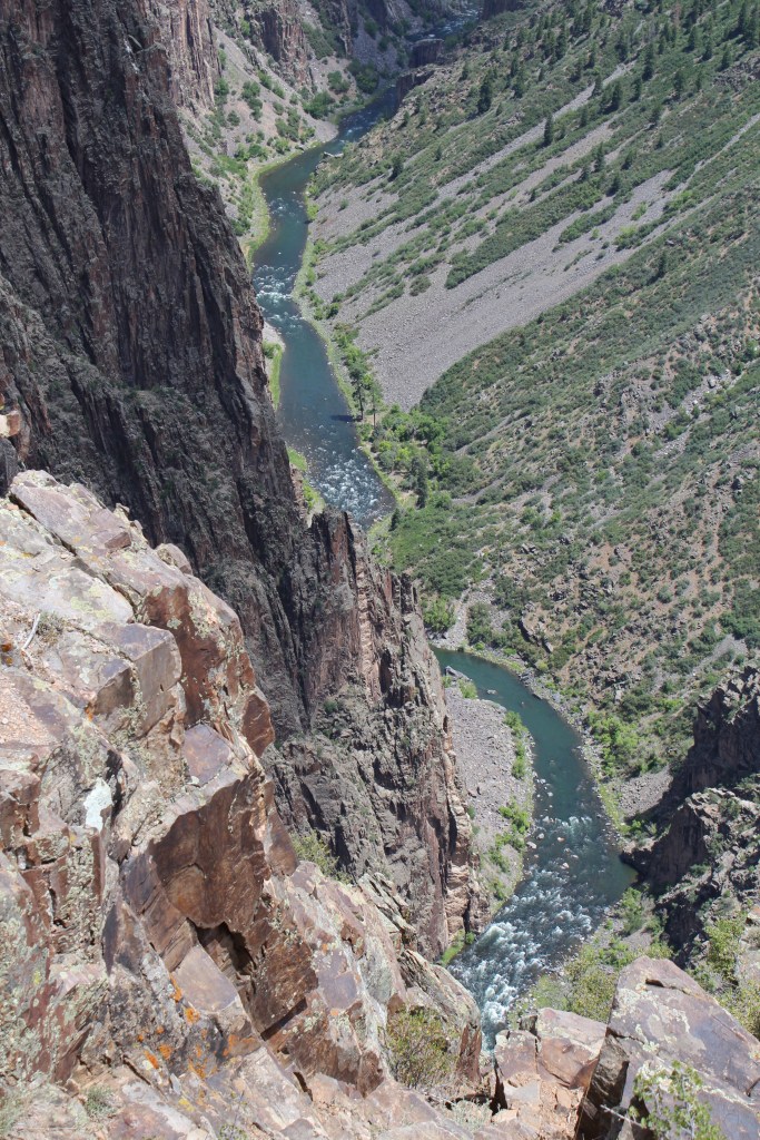
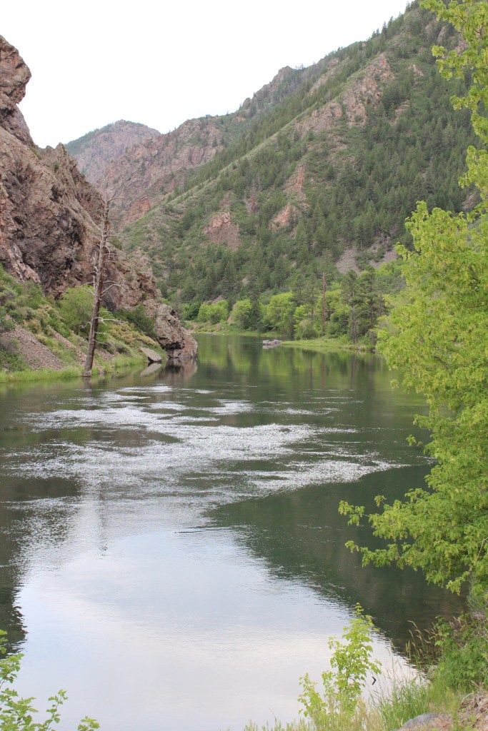
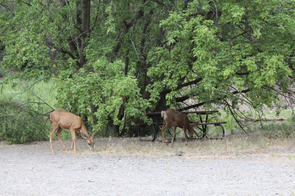
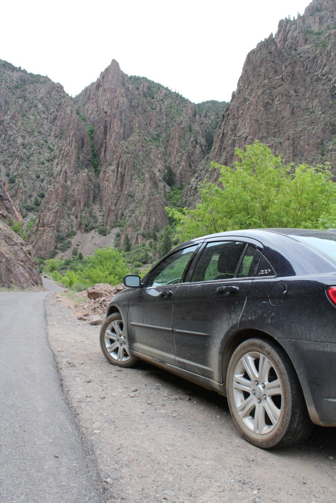
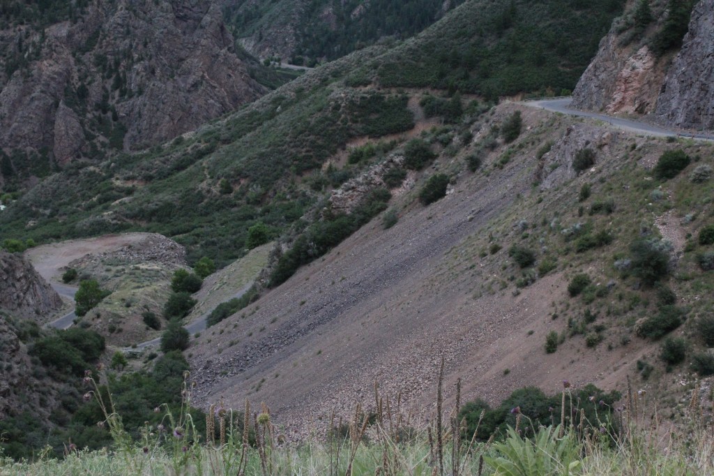
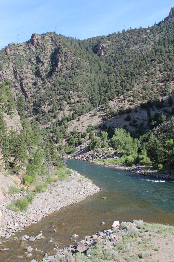
Near the park’s main entrance is a road that leads to the bottom of the canyon. If I recall correctly, this road was originally built for the construction of a small dam and a large tunnel, which provide irrigation to the farms that surround the towns of Olathe and Montrose, Colorado. This part of the canyon is not nearly as steep, deep, and narrow as what we’ve seen thus far, but it’s still an impressive drive. And the bottom of the canyon is quiet and lush
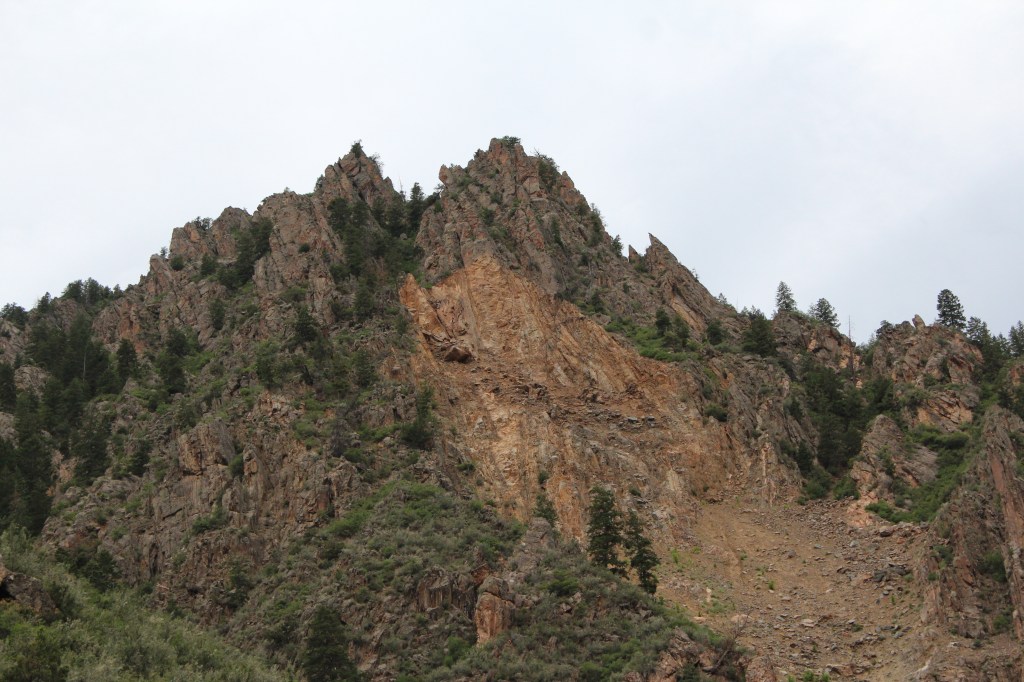

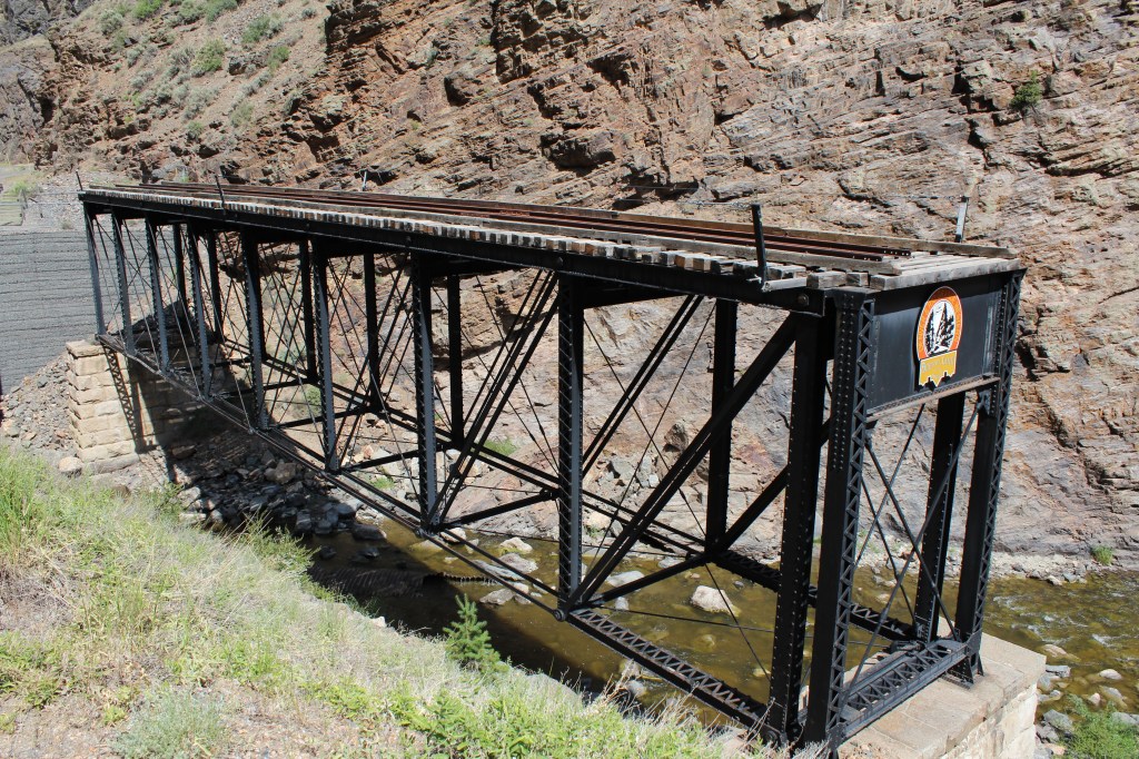
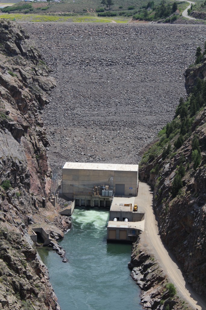
After spending a full day on the south rim of the canyon, I retreated to a hotel in Montrose. As you might imagine, there are no bridges across the Black Canyon of the Gunnison River. However, the borders of the National Park do cross the canyon. So, the next day, I set out to drive around the canyon to visit the “back side” (north rim) of the park. There was a lot to see along the way, starting with a visit to another, much larger dam than you saw above. Before this dam (or the even larger one further upstream), a railroad actually ran through the upper reaches of this canyon. It followed Cimarron Creek up out of the canyon before the point where the canyon gets too hairy. Have a few visual aids:
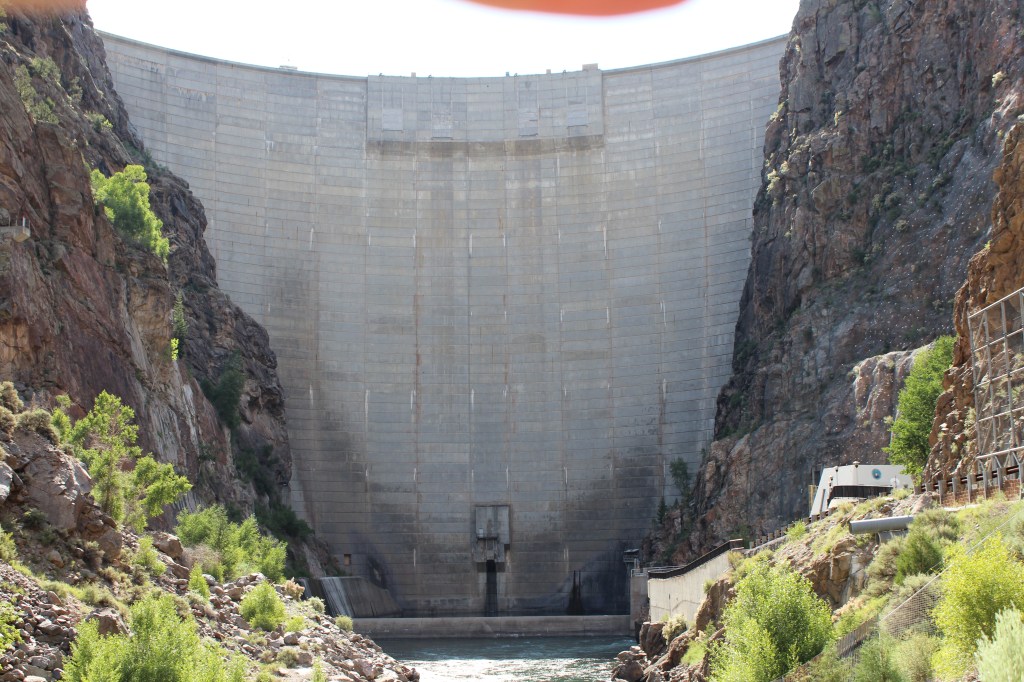
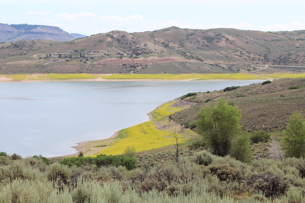
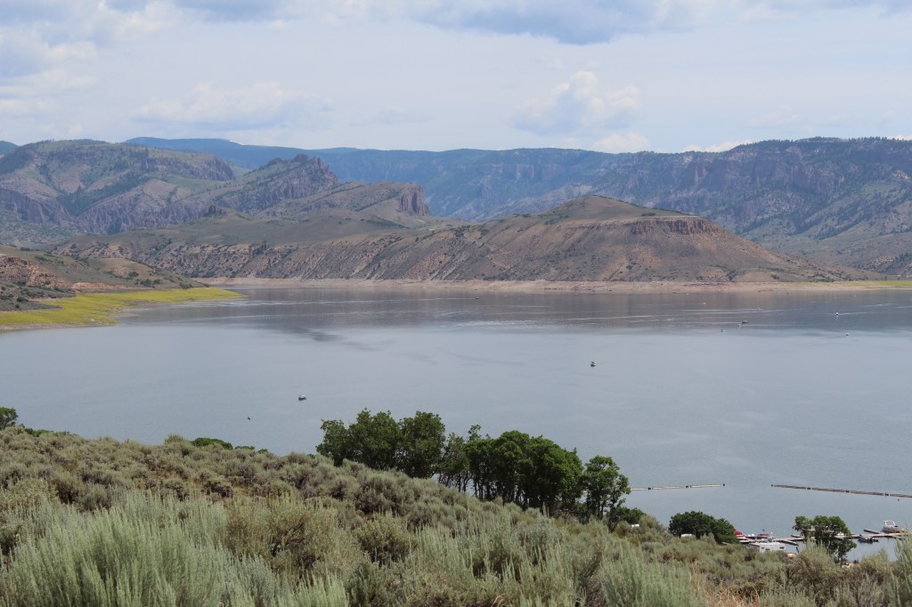
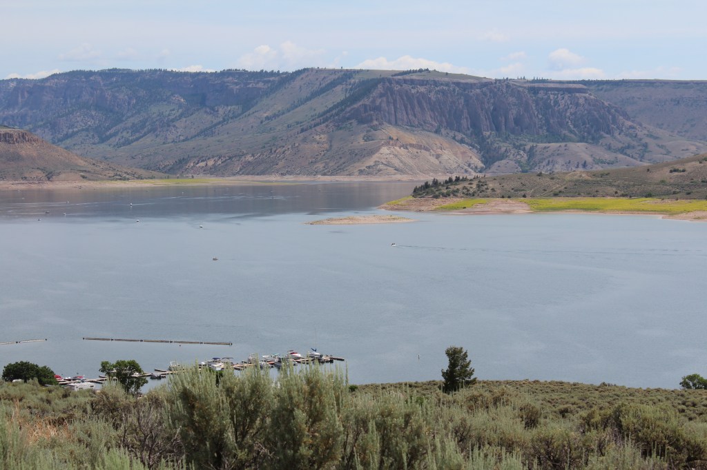
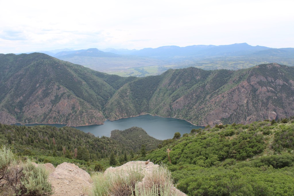
My next stop was the aforementioned even larger dam: the Blue Mesa Dam, which forms Blue Mesa Reservoir, the largest body of water in Colorado. Visual aidery below:
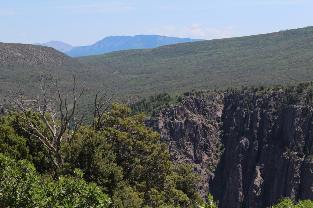
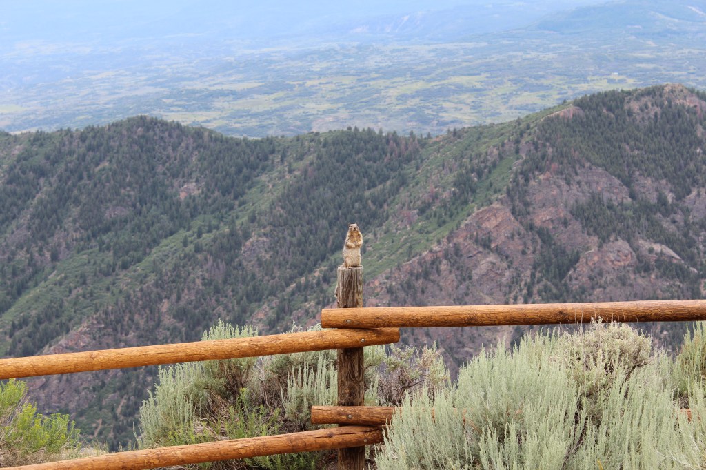
Blue Mesa Dam serves as the crossing that (finally) gets you to the north side of the Gunnison River. But you have to backtrack quite a way before you reach the National Park again. Here are some assorted shots from the road between Blue Mesa and the back side of the National Park:
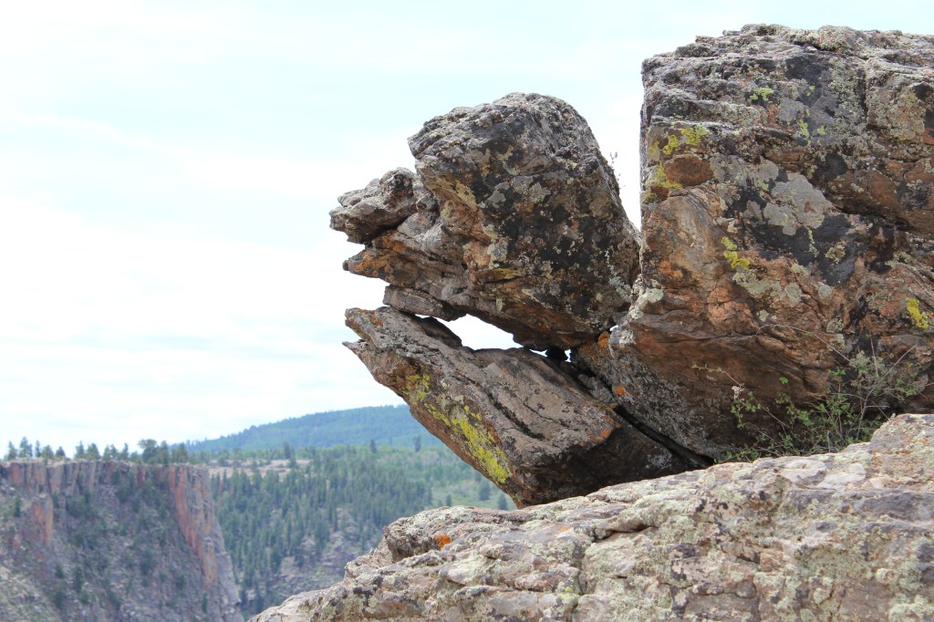
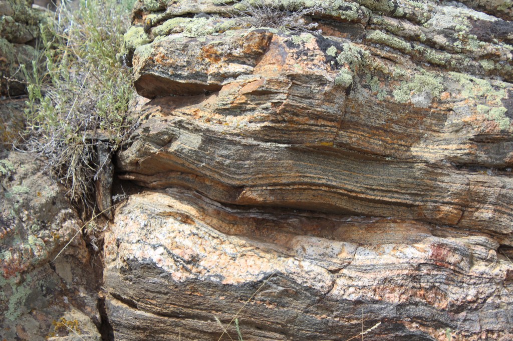
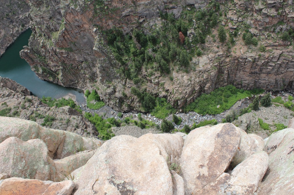
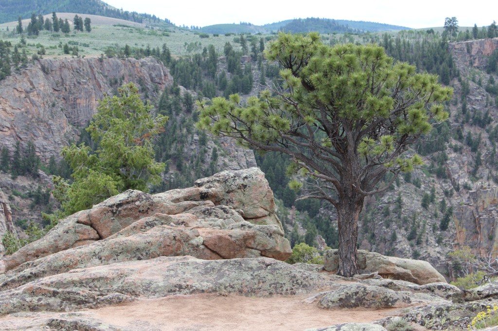
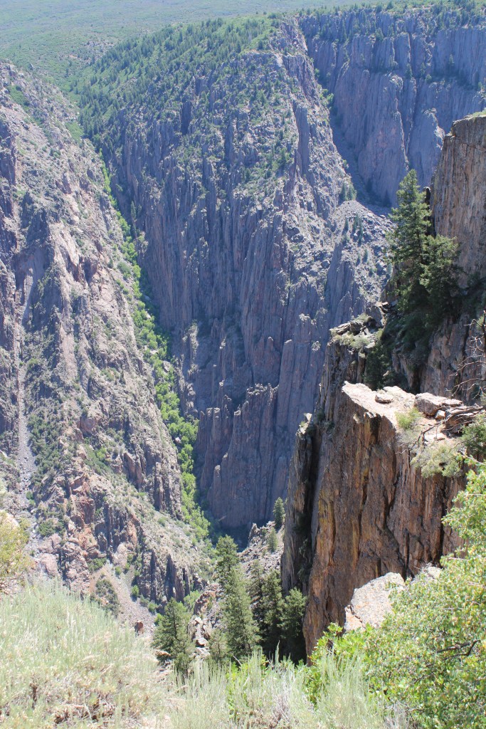
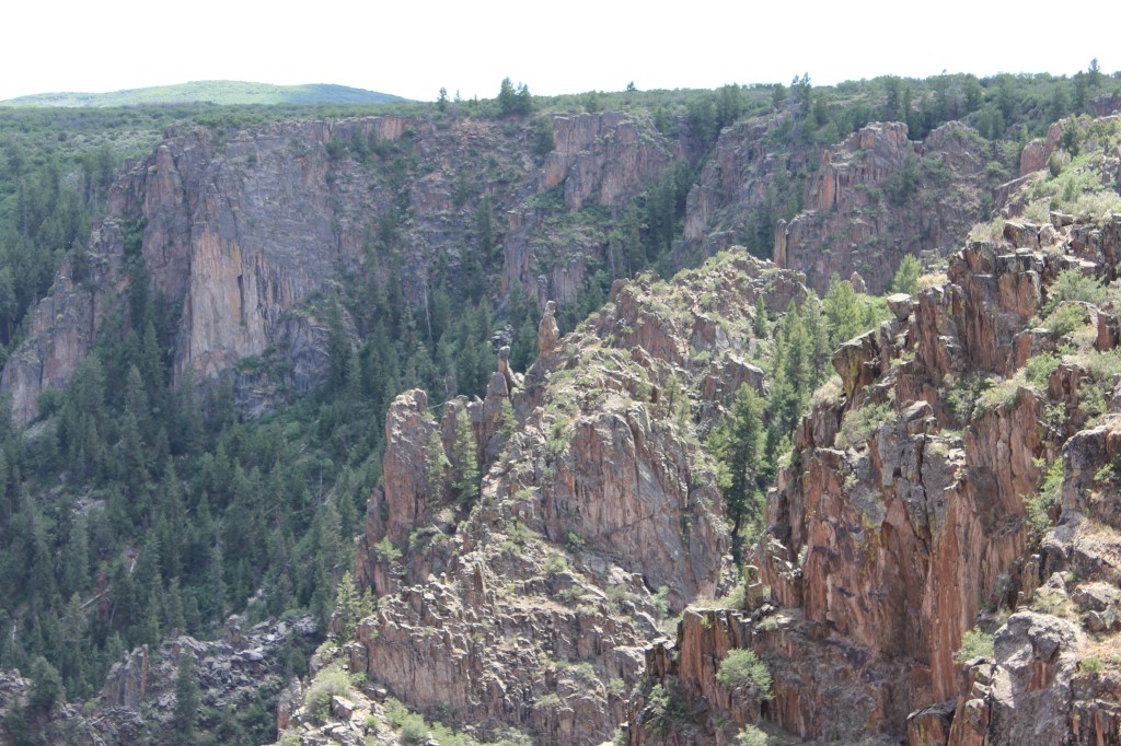
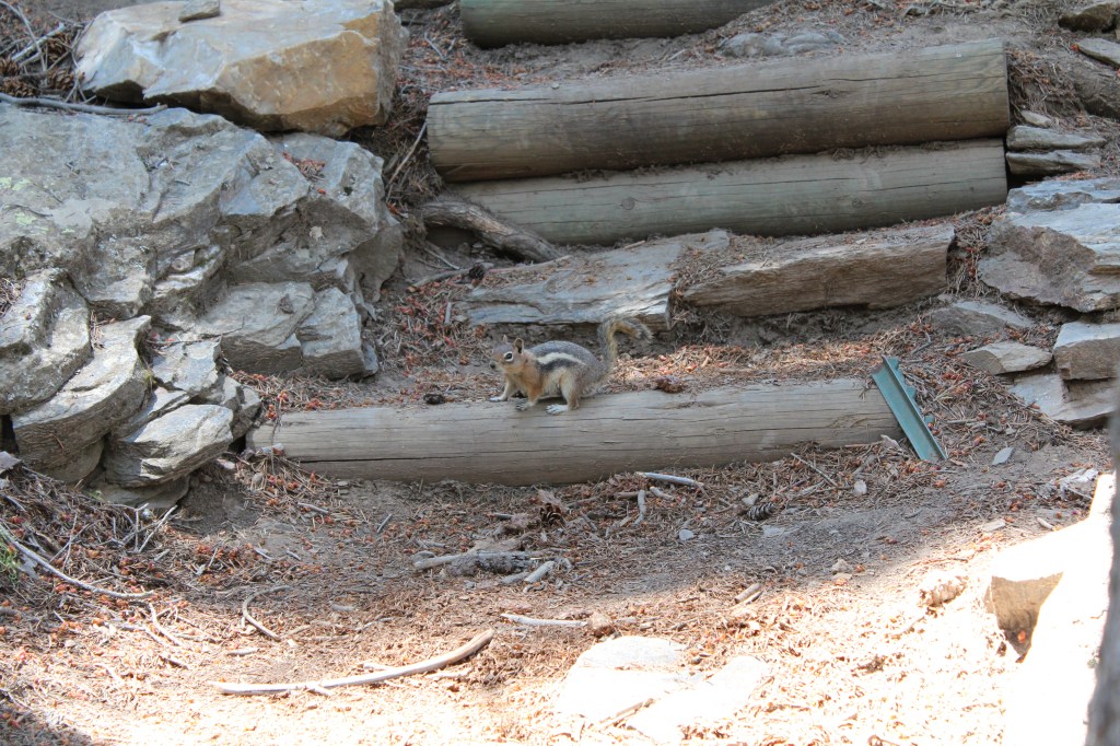
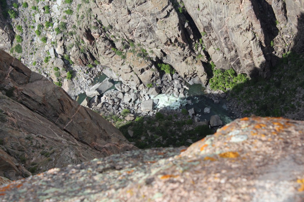
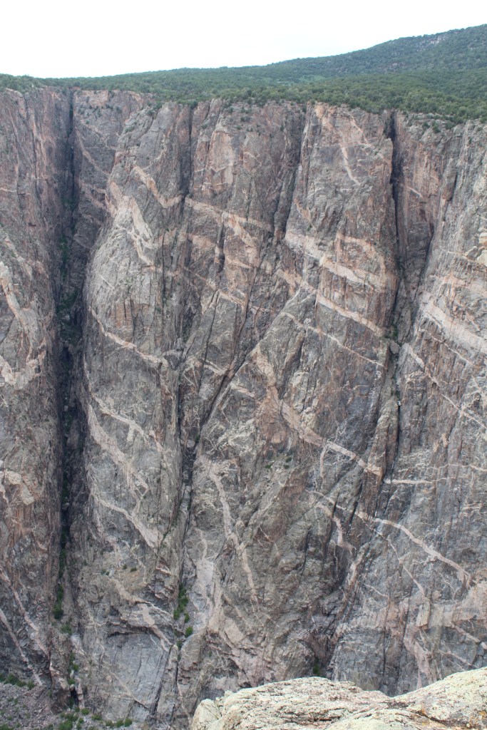
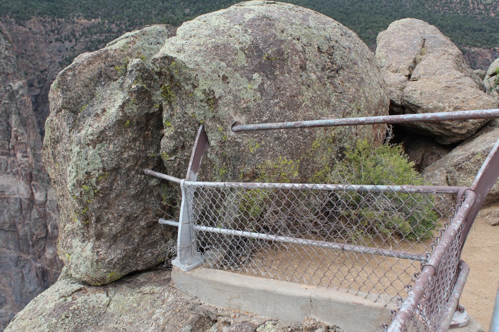
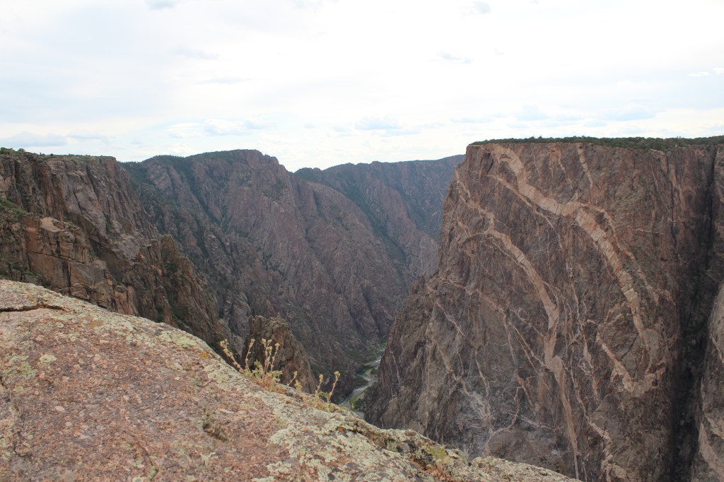
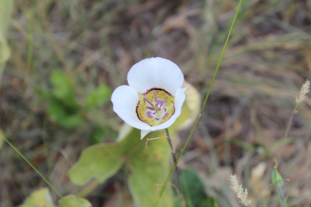
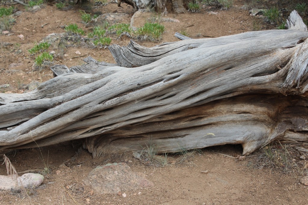
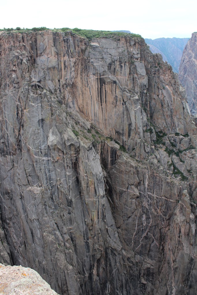
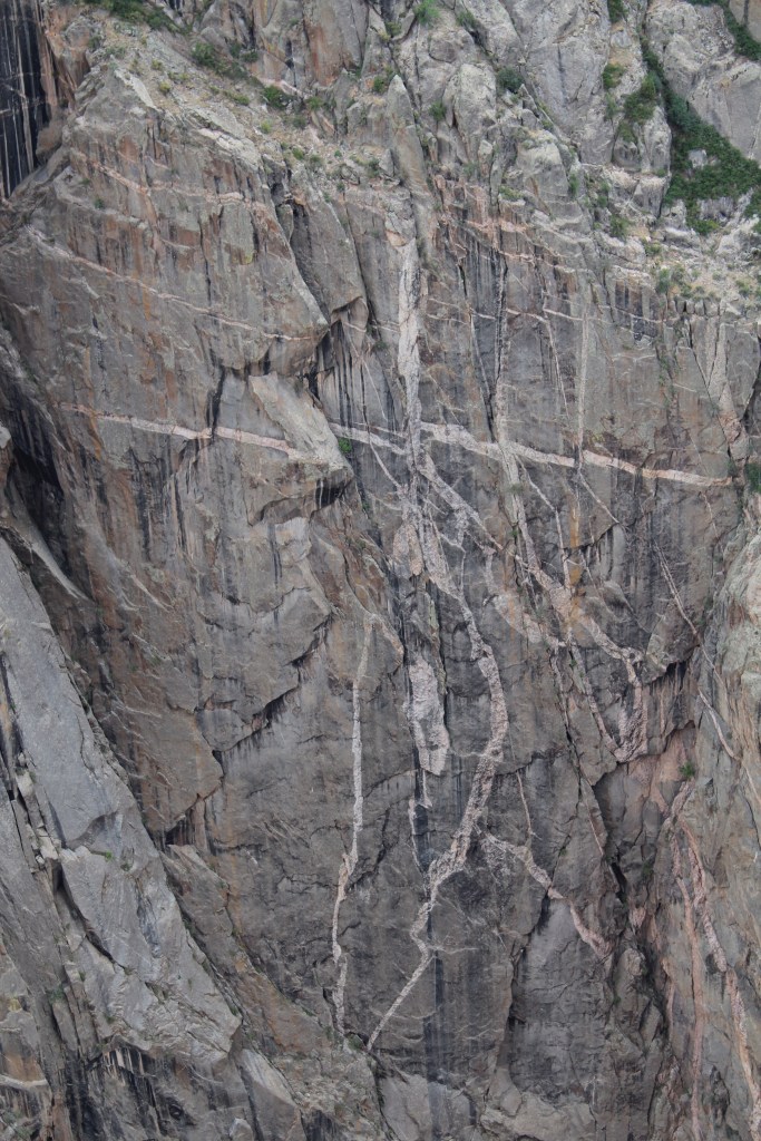
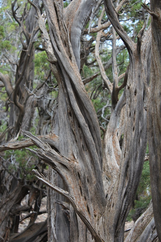
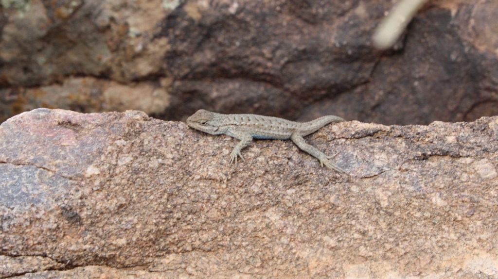
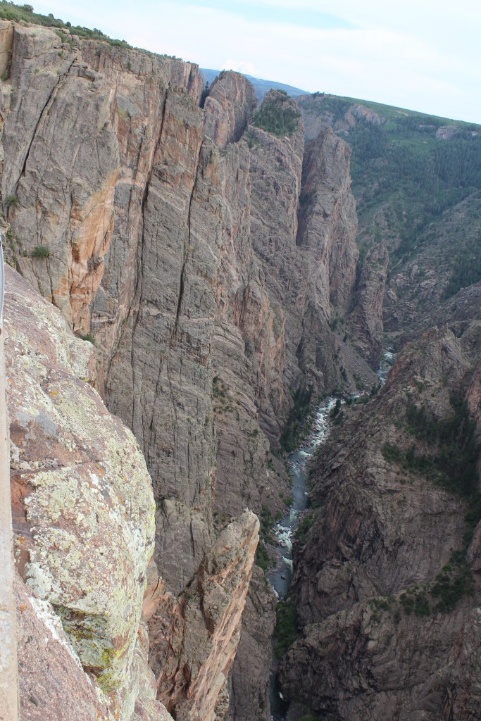
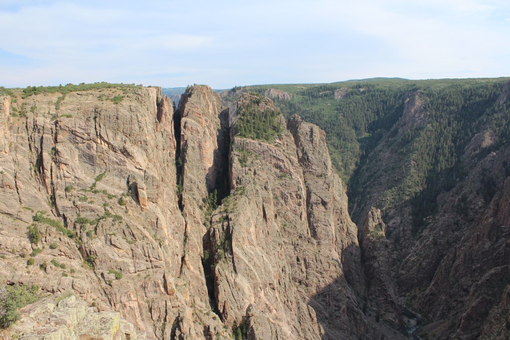
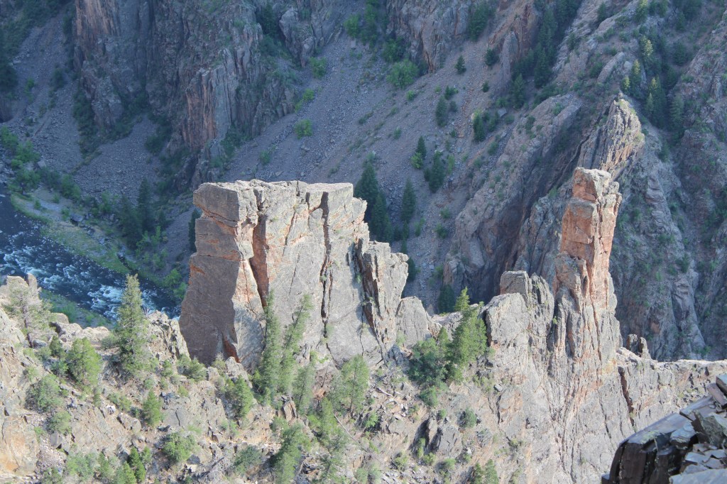
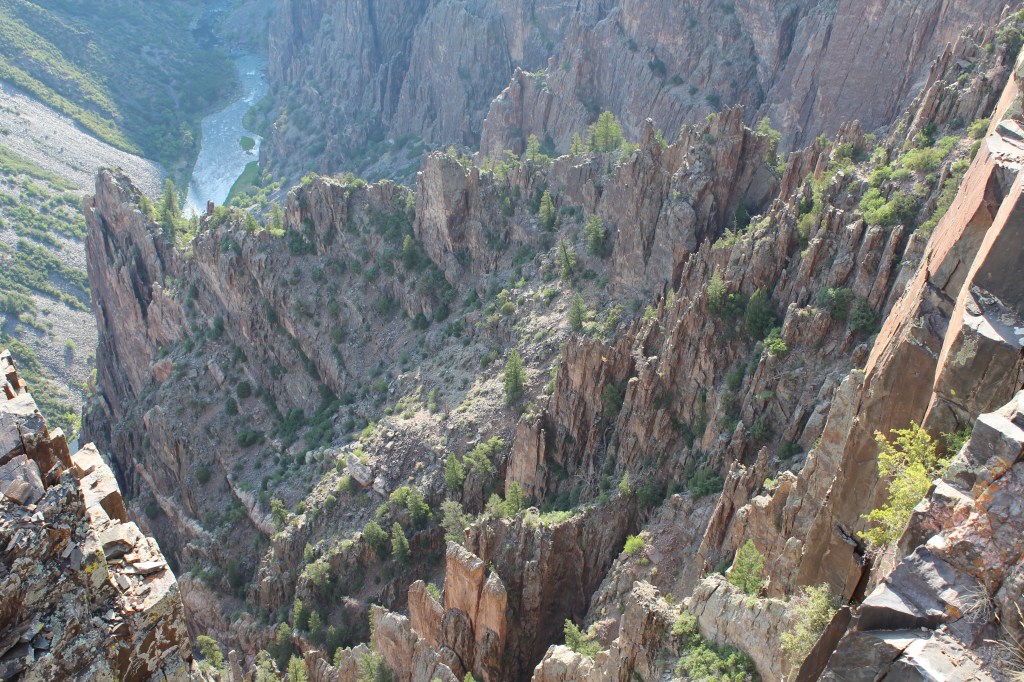
It ended up taking quite a bit longer than I had expected to get around to the back side of the National Park, so I didn’t have time to take on any of the mid-length to long hikes that are available, but I did walk the Chasm View Nature Trail. Have a look at what I saw:

That wraps it up for part six of eight. Next Thursday in part seven, we will venture up to the west portal of Alpine Tunnel. Have a great New Year’s Holiday!
