
Happy New Year, and my profound sympathy to all of you who made the mistake of flying on Southwest Airlines this holiday season. I had enough trouble with Southwest last fall; I shudder to think what it would have been like had there been THOUSANDS of canceled flights to compound the issue. At least I got a voucher for a couple free flights out of the deal – Omaha, here I come!
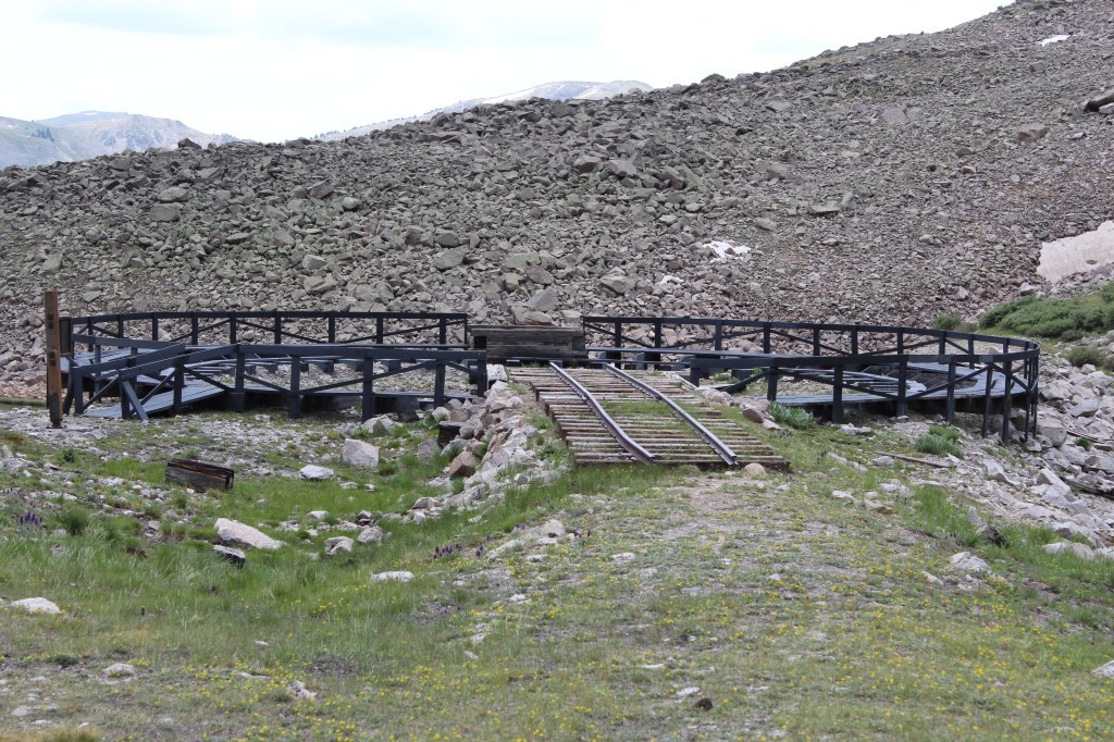
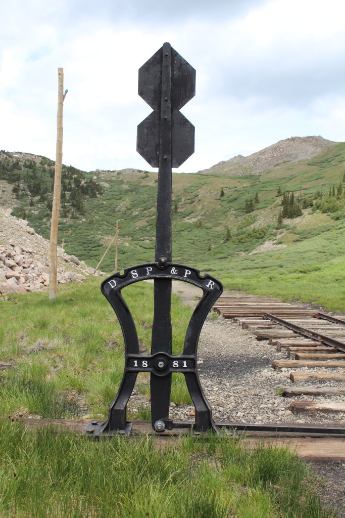
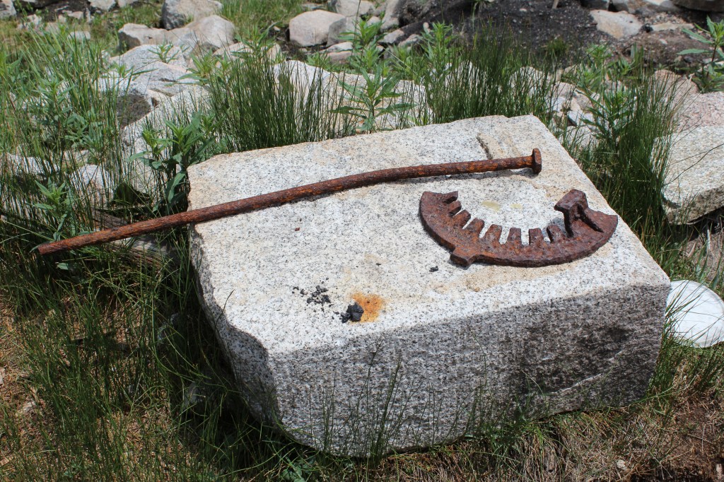
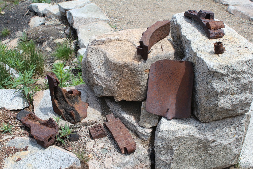
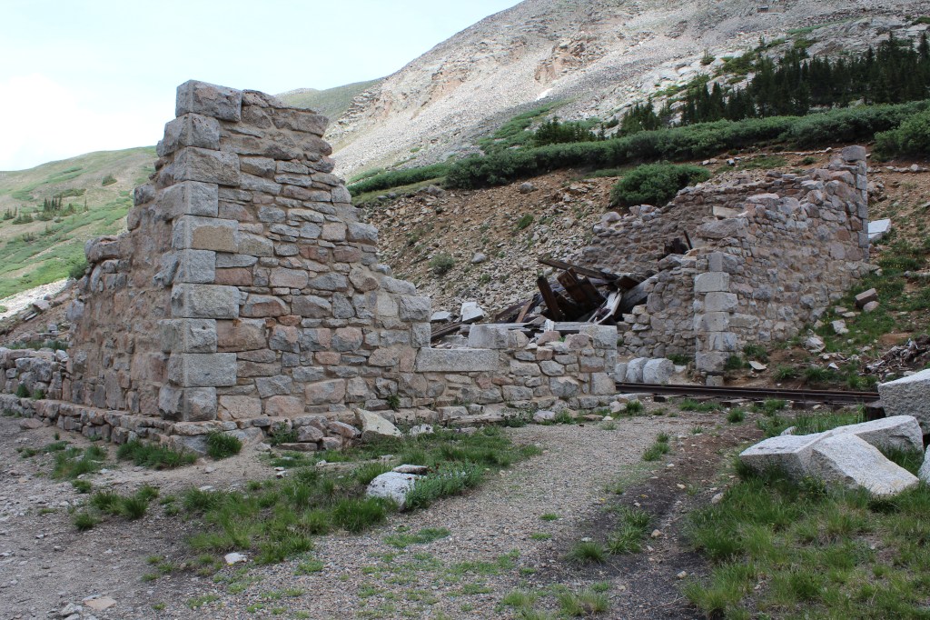
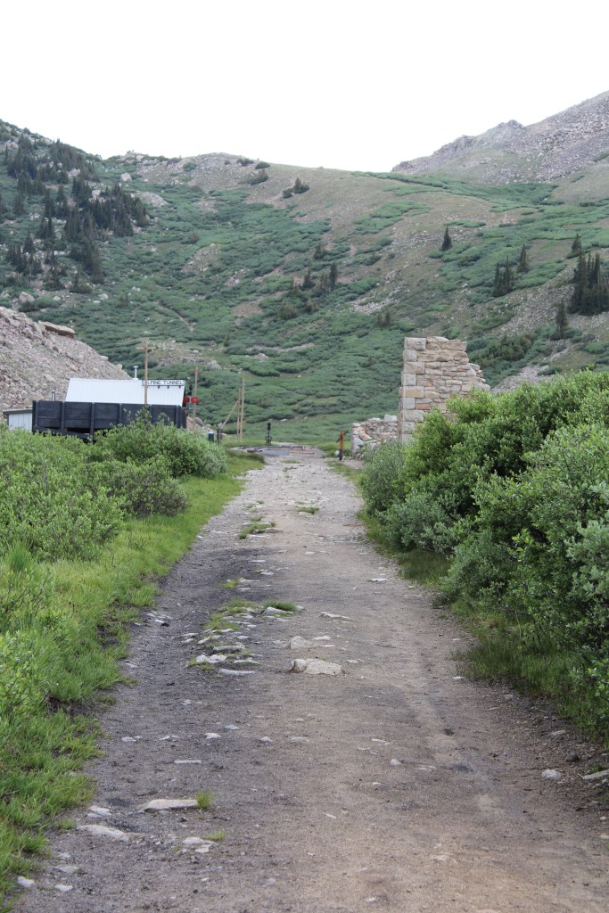
Now, let’s proceed with ThrowBack Thursday! After my visit to Black Canyon of the Gunnison National Park, I transferred my base of operations from a hotel in Montrose to a motel in the town of Gunnison. This town was once served by two railroads: the Denver & Rio Grande Western (D&RGW); and the Denver, South Park, & Pacific (DSP&P). To get from South Park to Gunnison, these railroads had to cross the Continental Divide. D&RGW did so at Monarch Pass, the route used today by U.S. Highway 50. DSP&P utilized the Alpine Tunnel. This tunnel was not very long (only about 1/3 of a mile), but at 11,523 feet in elevation, it was (and still is) the highest train tunnel in North America. My plans for this day were to drive up to the west portal of the tunnel, then visit a couple of old mining towns on the way back down to Gunnison. There were actually quite a few railroad service buildings at the west end of the tunnel, some of which are in ruins, while others have been restored. So, I got to see the tunnel complex, and not just the tunnel itself. Pictures are below:
Click on any of the images for the full-sized picture.


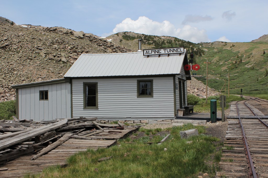


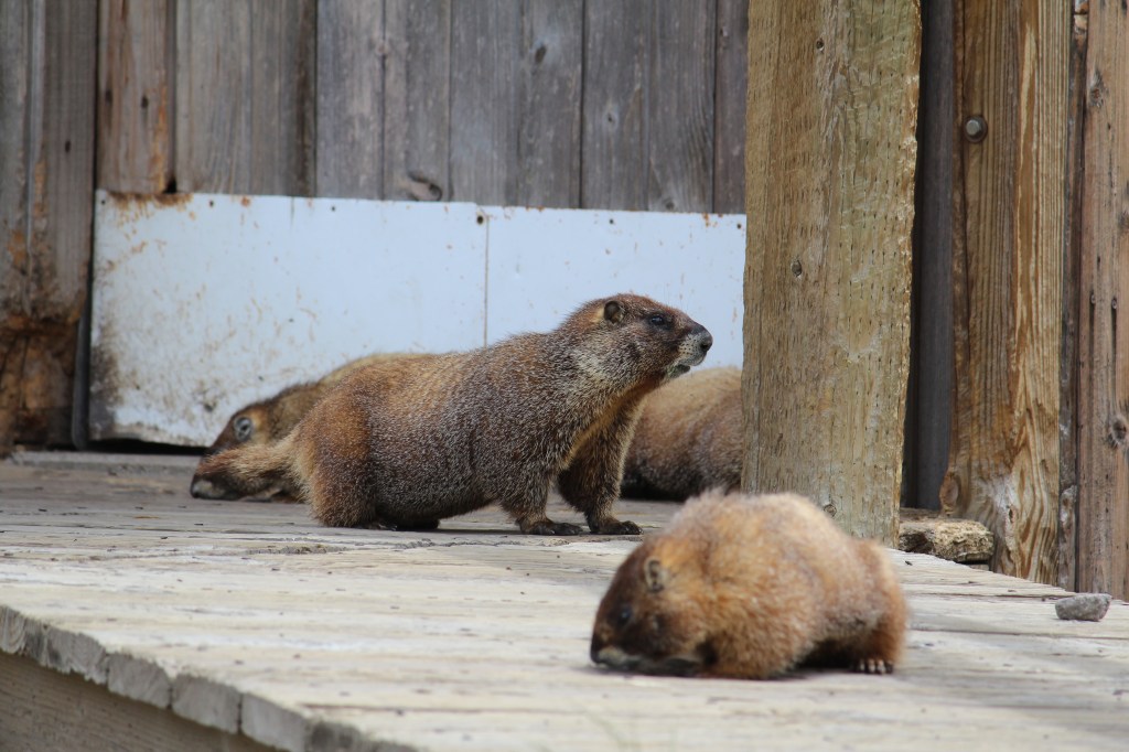
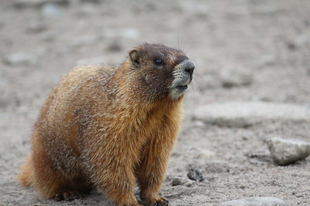
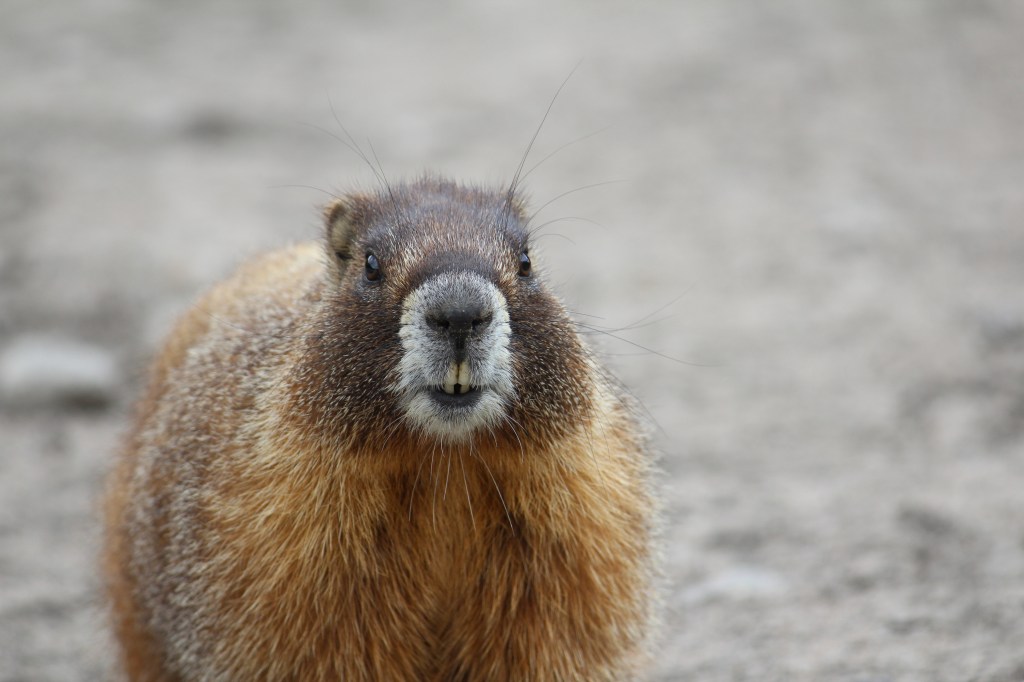
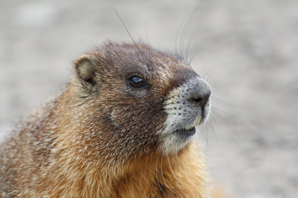
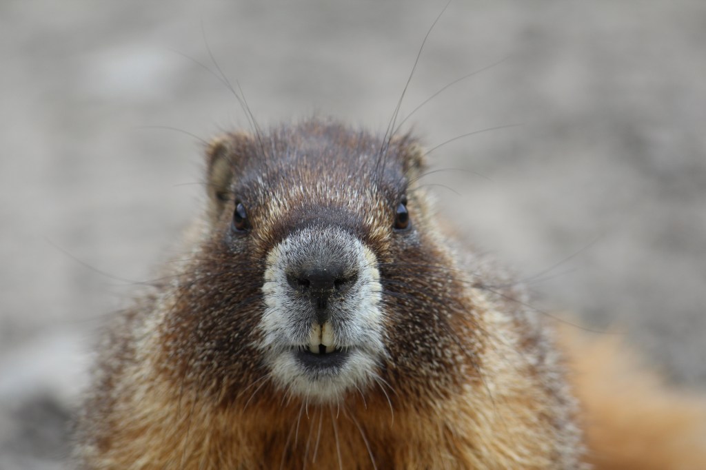
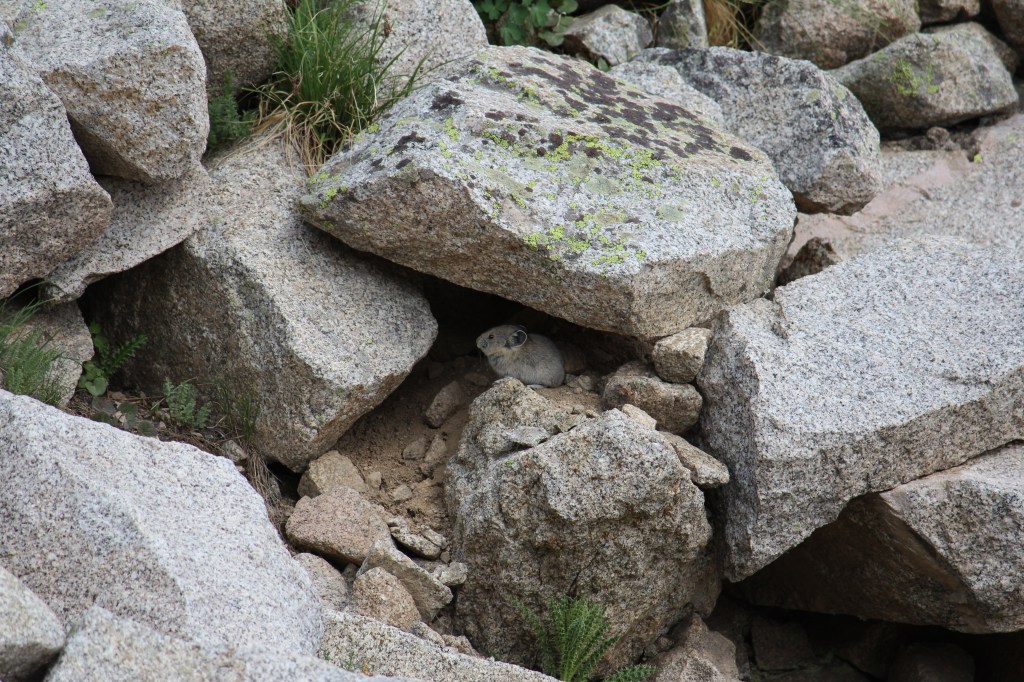
Yellow-bellied marmots (Marmota flaviventris) had taken over at least one of the buildings at the complex. I valiantly tried to drive them away by getting uncomfortably close with my camera, but they stood their ground, giving me what is undoubtedly my best wildlife photography to date! Lookie here:

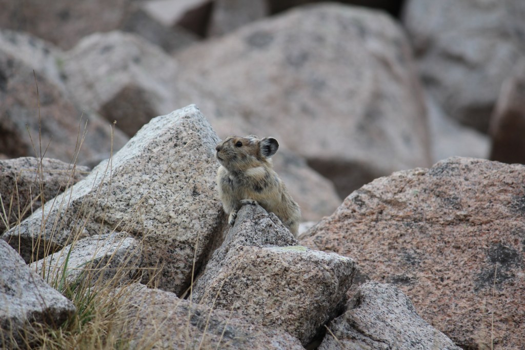
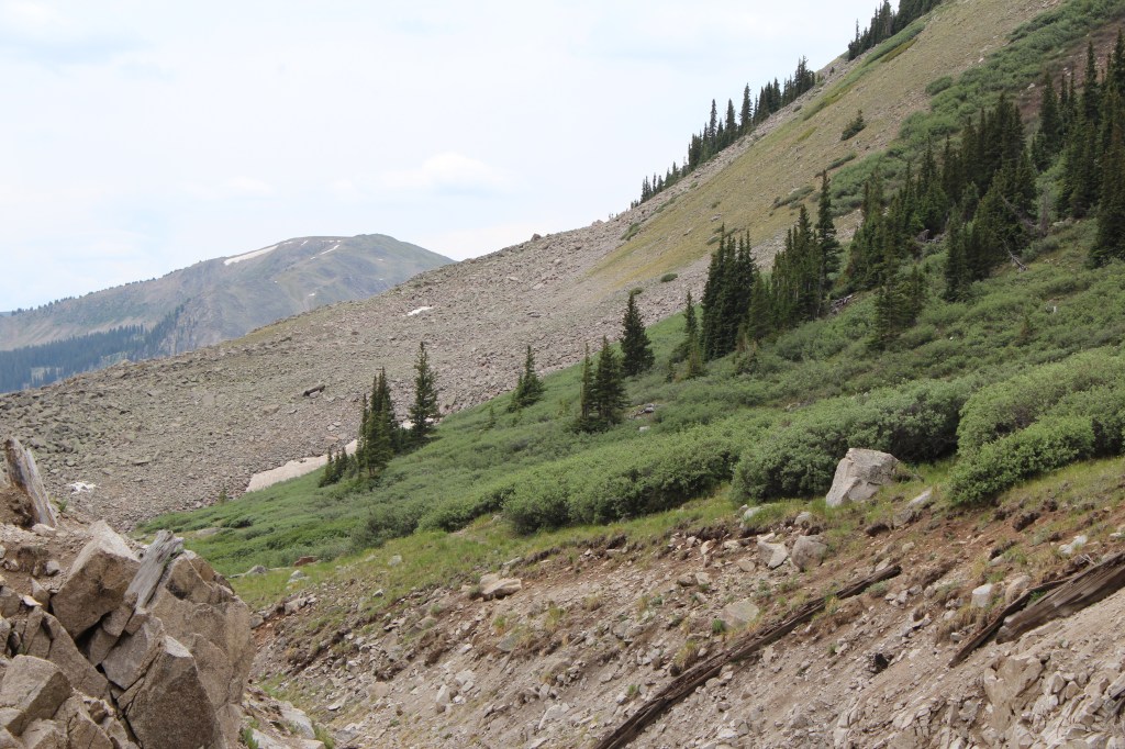
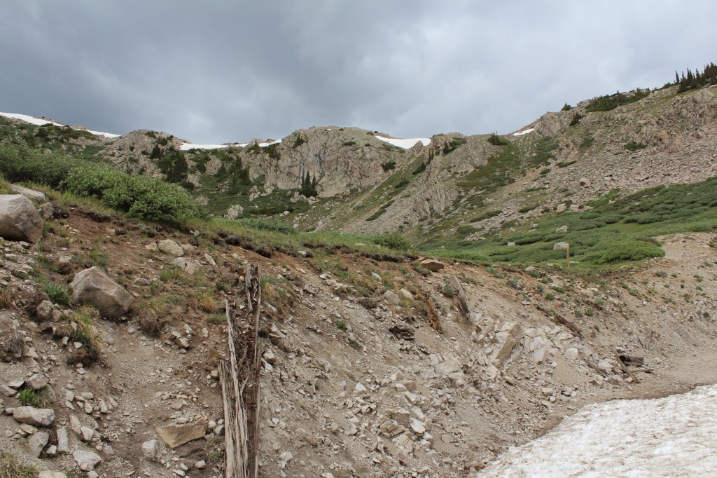
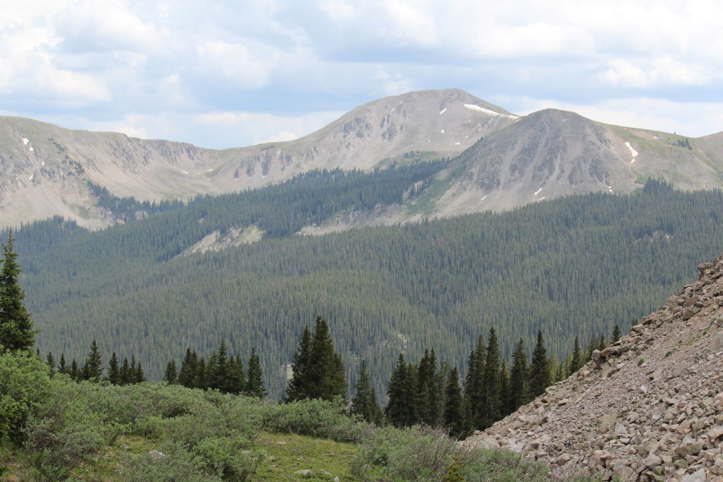
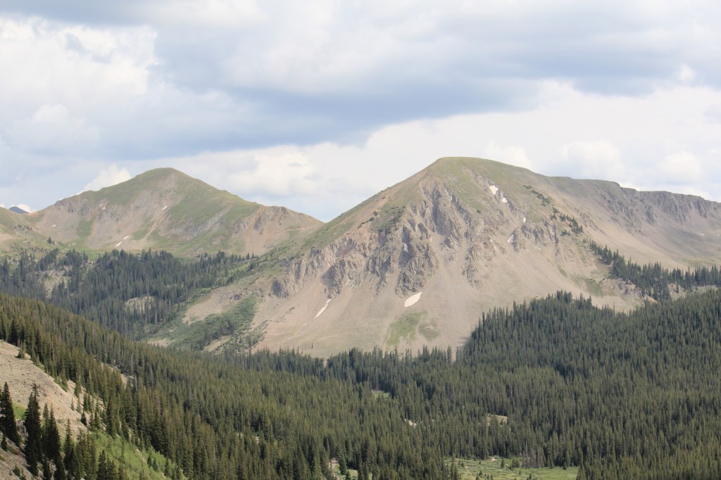
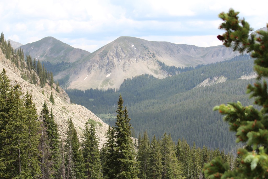
After having fun harassing the wildlife, I started the drive back down to the aforementioned mining towns. I encountered more enjoyable scenery along the way…

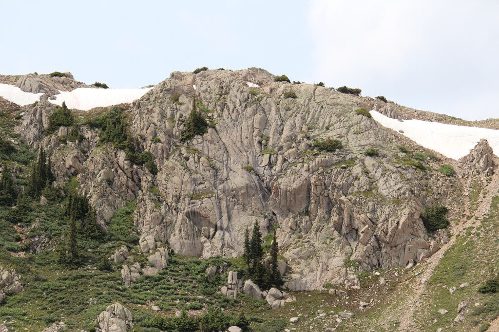
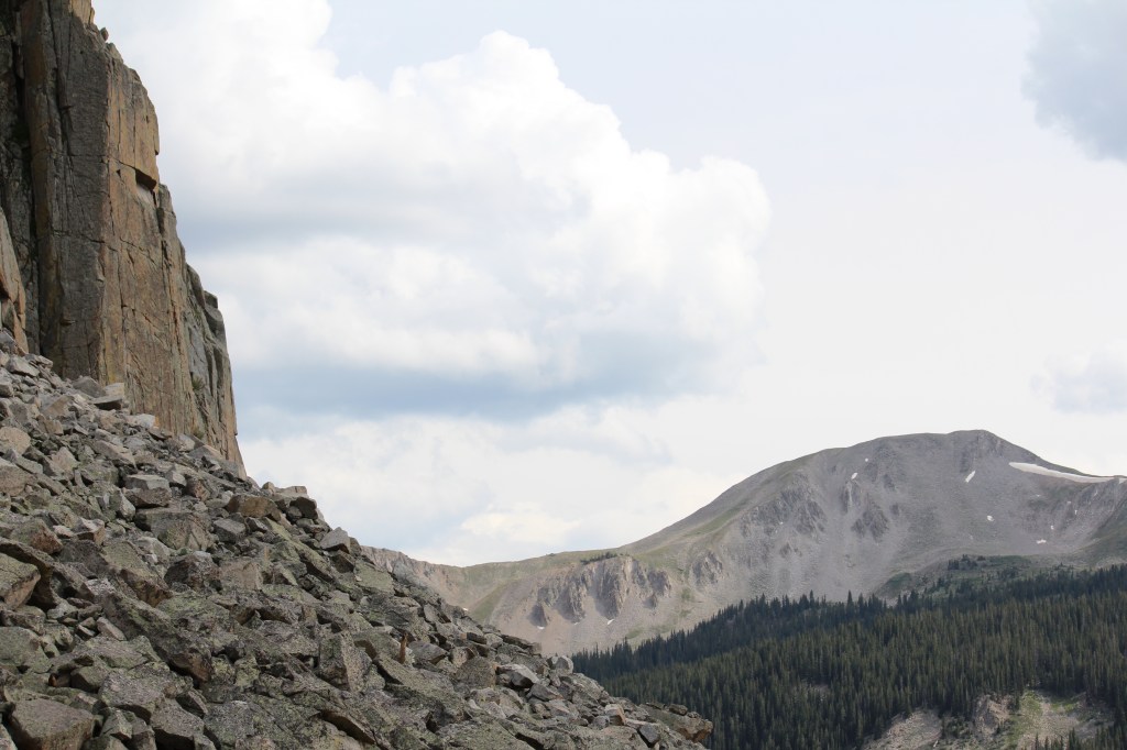
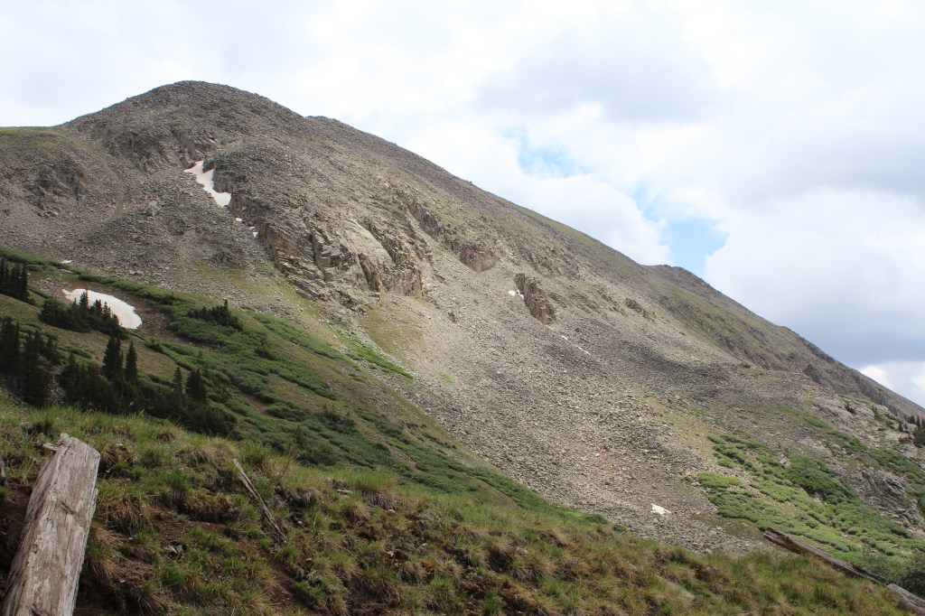
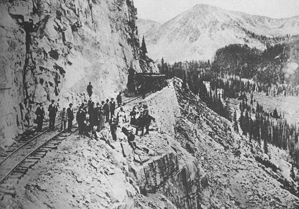
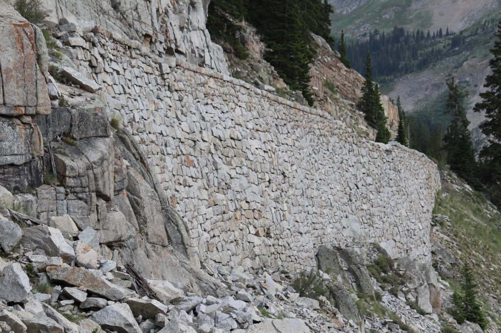
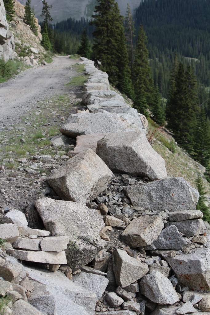
The Alpine Tunnel is cool and all, but it’s not the real reason I drove up here. I primarily came here for…The Palisades, a once-famous stretch where the railroad clung to the side of a cliff. I’m glad I took this time to visit, as I got to experience navigating my car across the Palisades, and I’m told this is no longer possible due to a rock slide. Anywho, here’s what the Palisades looked like back in the day (1880 – 1910)…
…and what the Palisades looked like when I visited in 2013…
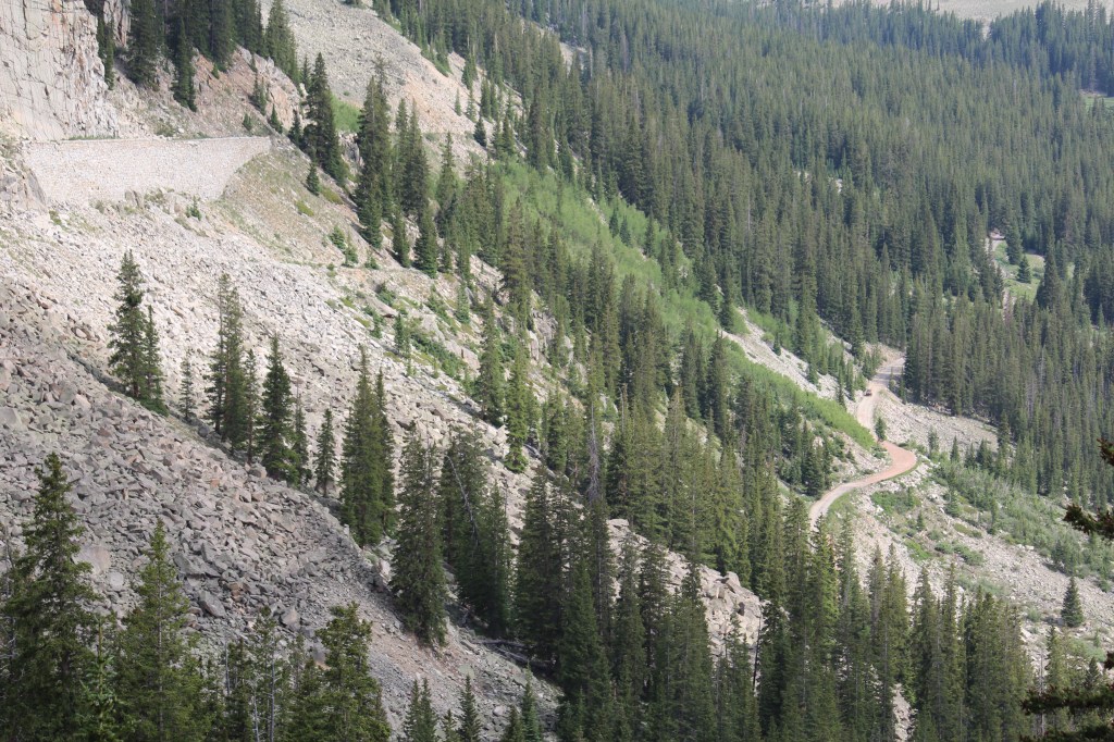
Lower right: Another stretch of the same road


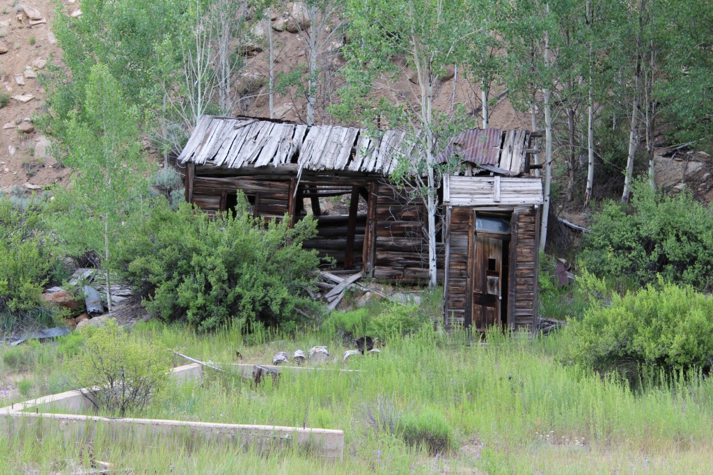
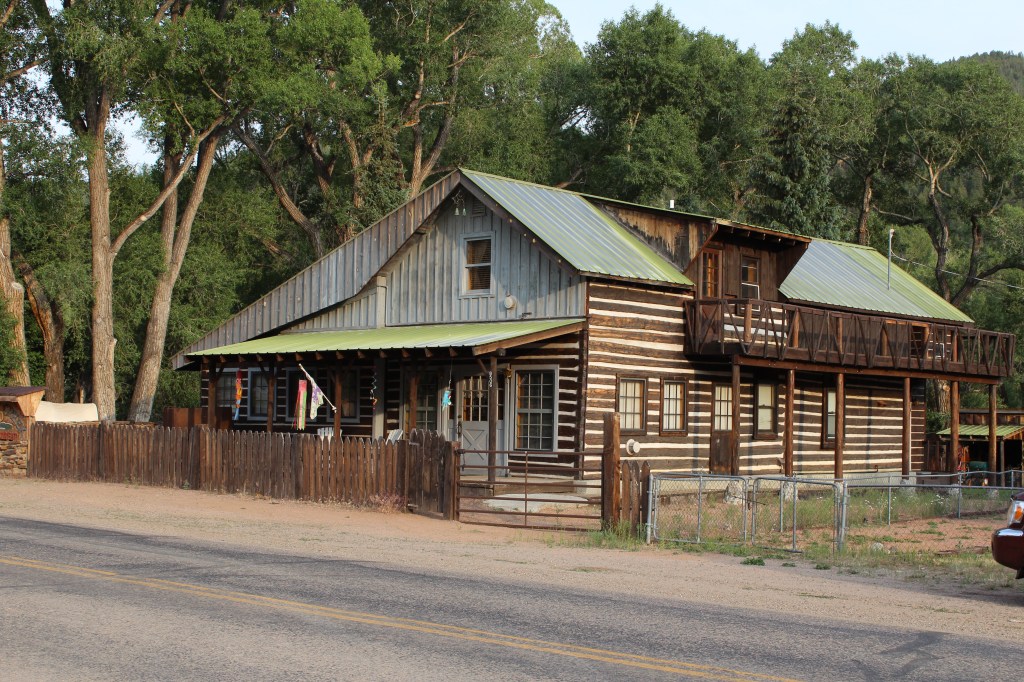
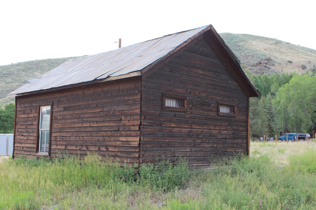
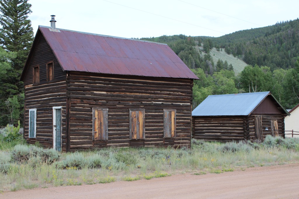
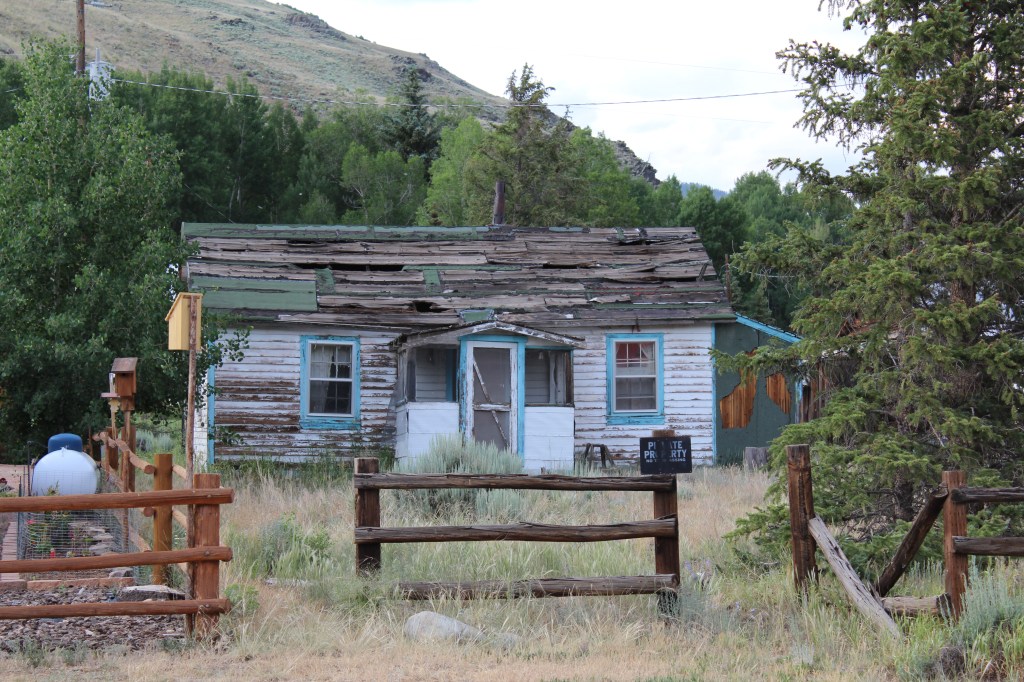
On the way back down to Gunnison, there are two old mining towns worth a look. These are not true ghost towns, as they are still inhabited. They just aren’t as populated as they once were. The first of these two towns is Pitkin:

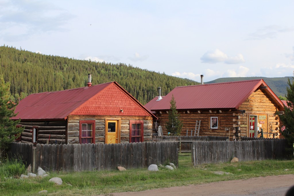
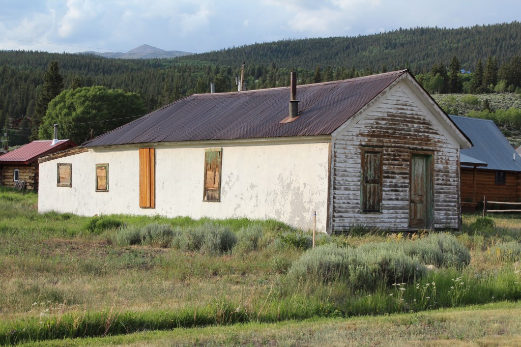


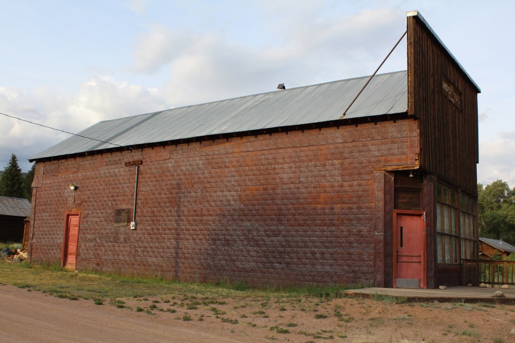
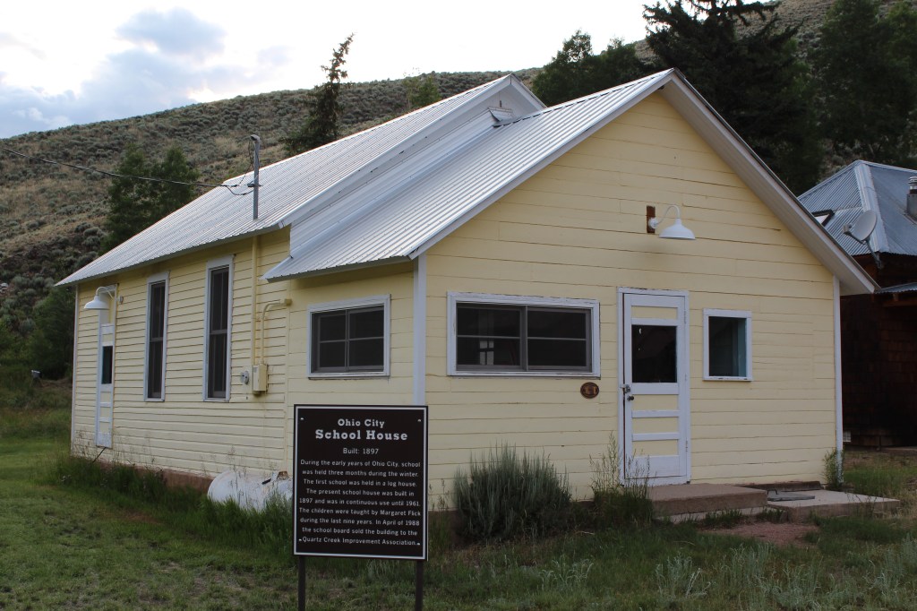
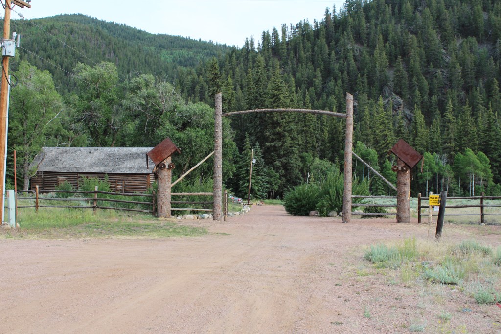
The last stop of the day was Ohio City, Colorado. Observe:


That’s it for this week’s ThrowBack Thursday. Come back next week for the FINAL installment of my 2013 Leftover Colorado tour! This last leg of the tour was mostly about the town of Creede and the nearby mining areas. Do the names Bob and Charlie Ford ring any bells?
