
When I first started seeing my Parkinson’s Disease specialist, I noticed a place named The Map Shop a few blocks from his office. Seeing as how I’m a self-proclaimed “map geek” (I have been known to waste hours at a time playing around with Google Earth and have been a fan of the Degree Confluence Project for nearly 20 years), The Map Shop was absolutely screaming my name. I waited until the shop became hoarse, and in I went. Amongst other things, I bought a map of North Carolina waterfalls. This map became the basis for multiple day trips in the next few years, including those showcased in last week’s Throwback Thursday, and the visit to Linville Falls seen below. Sadly, the brick-and-mortar Map Shop is no more. Happily, they still exist as an internet-only business.
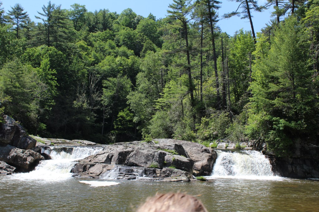
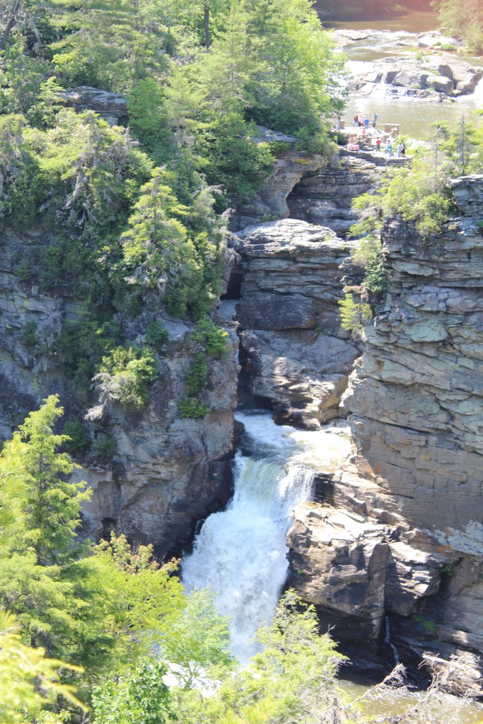
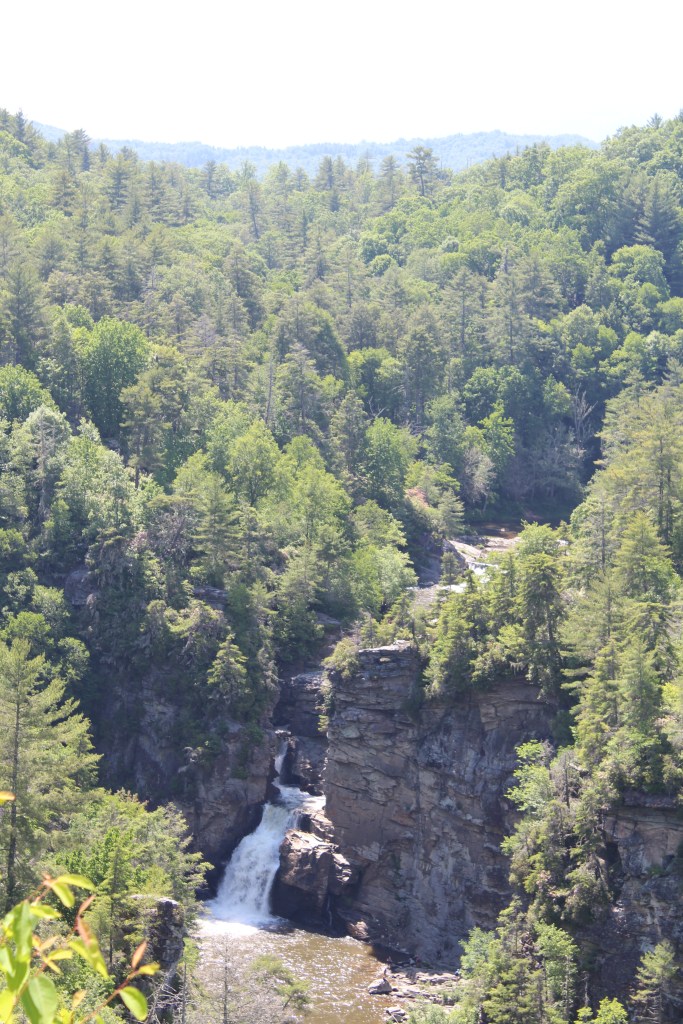
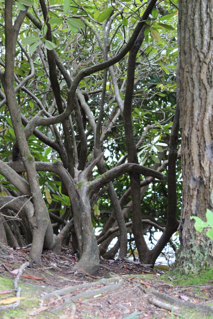
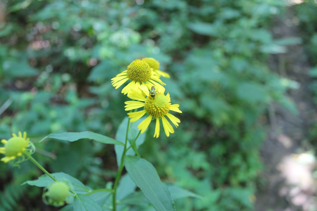
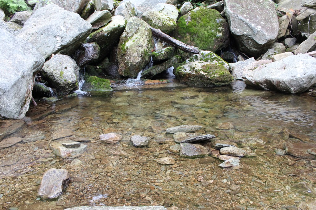
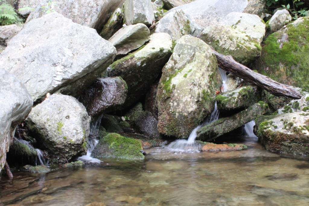
It was on June 6, 2015 that I (along with an old friend and his four kids) set out for Linville Falls. There are two main trails at Linville Falls; for simplicity’s sake, I shall call them The Upper Trail and The Lower Trail. On this day, we only hiked The Upper Trail, and it felt great! The trail is almost entirely shaded by forest; combine that with an altitude of about 3,200 feet (yes, Coloradans, keep on laughing) and this trail was a wonderfully cool break from the hot and muggy Charlotte area. Yet for reasons I don’t recall, I took very few pics on this hike. Here are some of them:

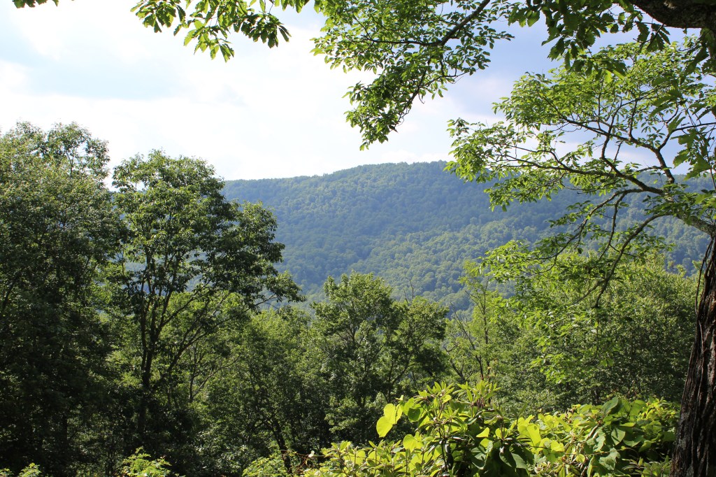
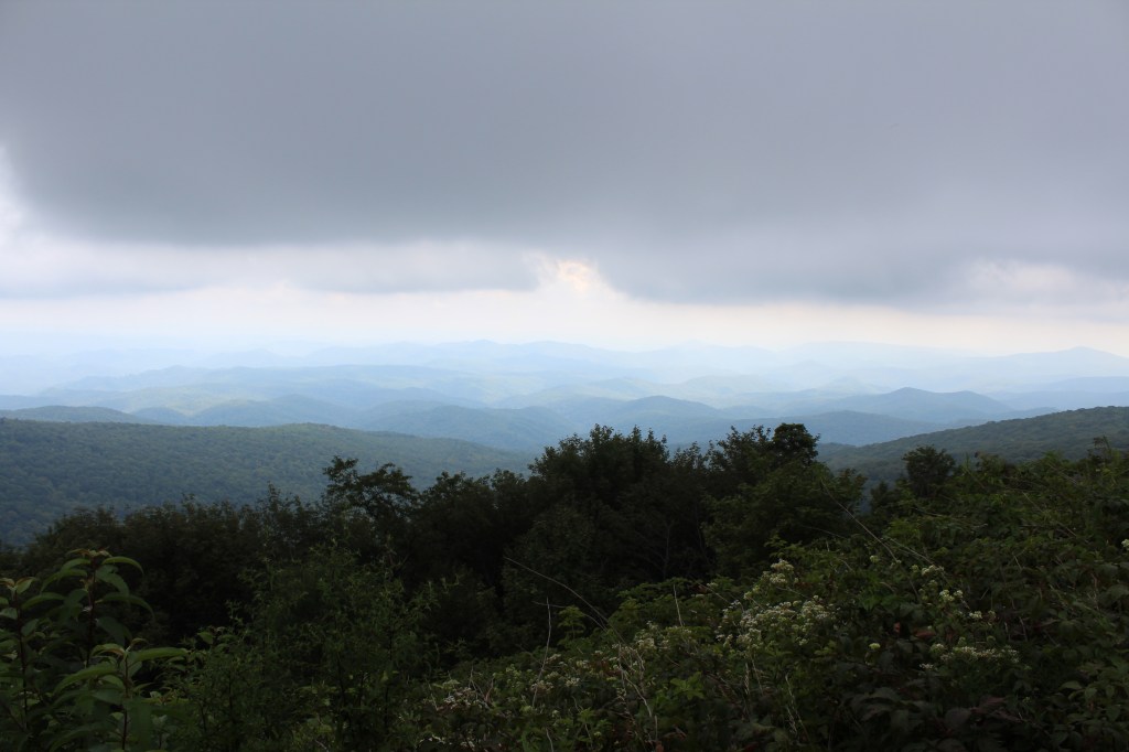
After Linville Falls, we made the very short drive back up to the Blue Ridge Parkway, and headed west. We found a few good overlooks, as pictured below:


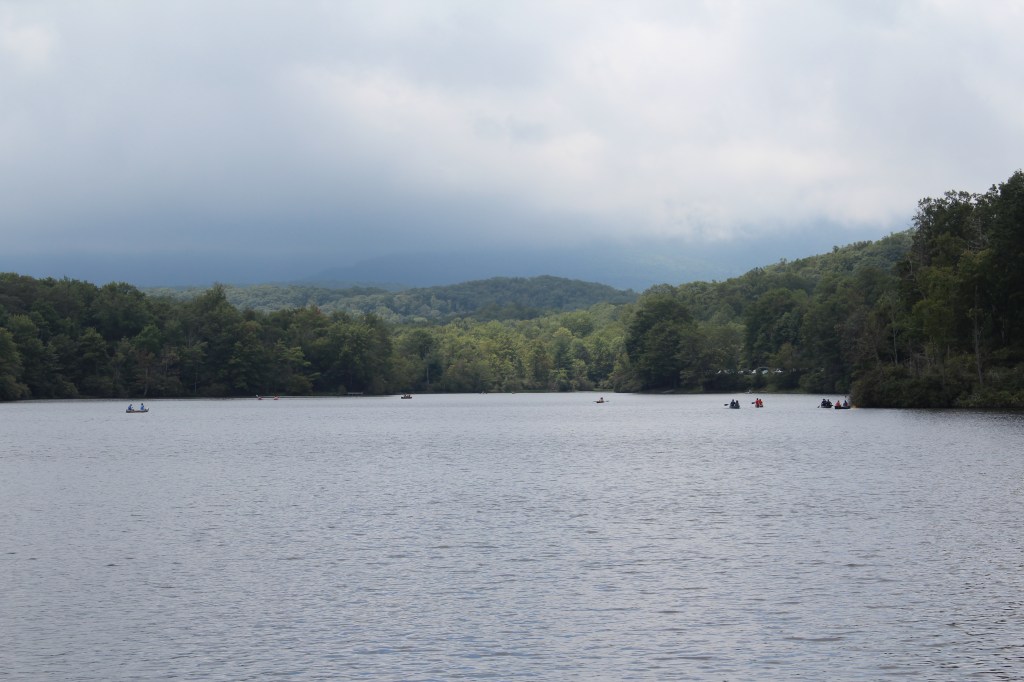
We have once again reached a point where we need to skip ahead through time. Unfortunately, I had to sell my DeLorean. So, we’ll have to make do with a horse on mescalin. Don’t ask. (I was going to say a horse on heroin, but that would have been redundant.) OK, we’ve arrived. The date is now August 22, 2015. We are still on the Blue Ridge Parkway, but now we are about 20 miles northeast of Linville Falls. Specifically, we are at Julian Price Memorial Park, home of…
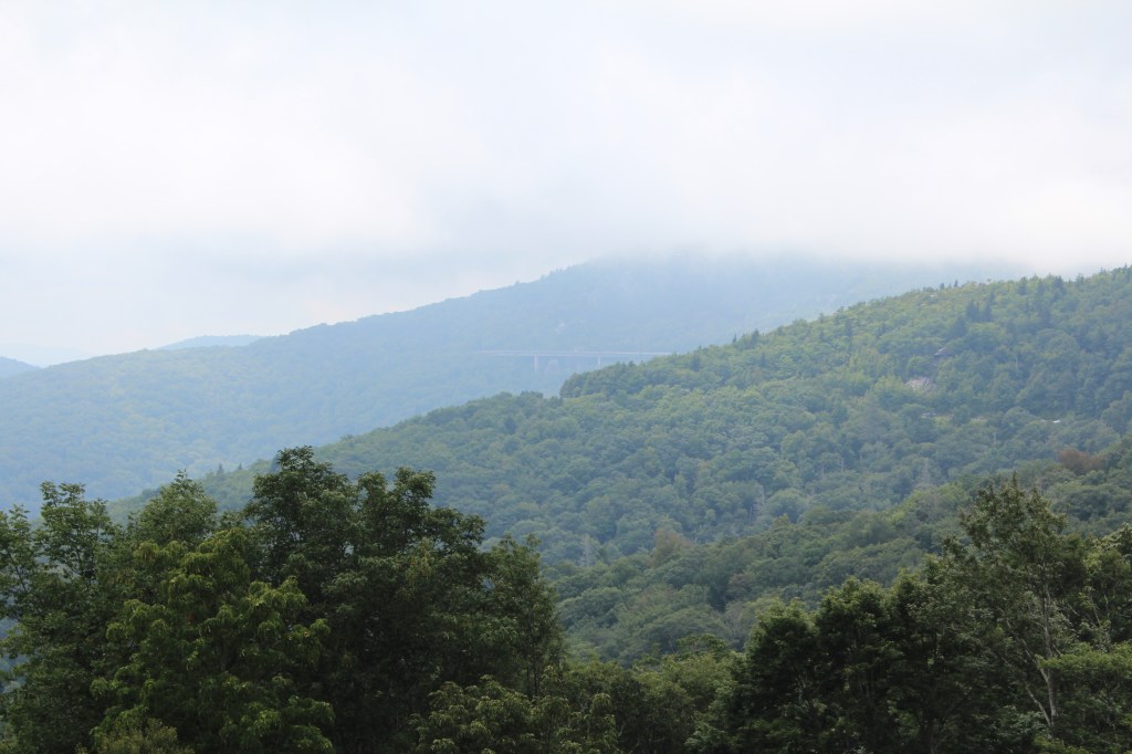
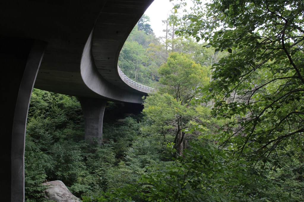
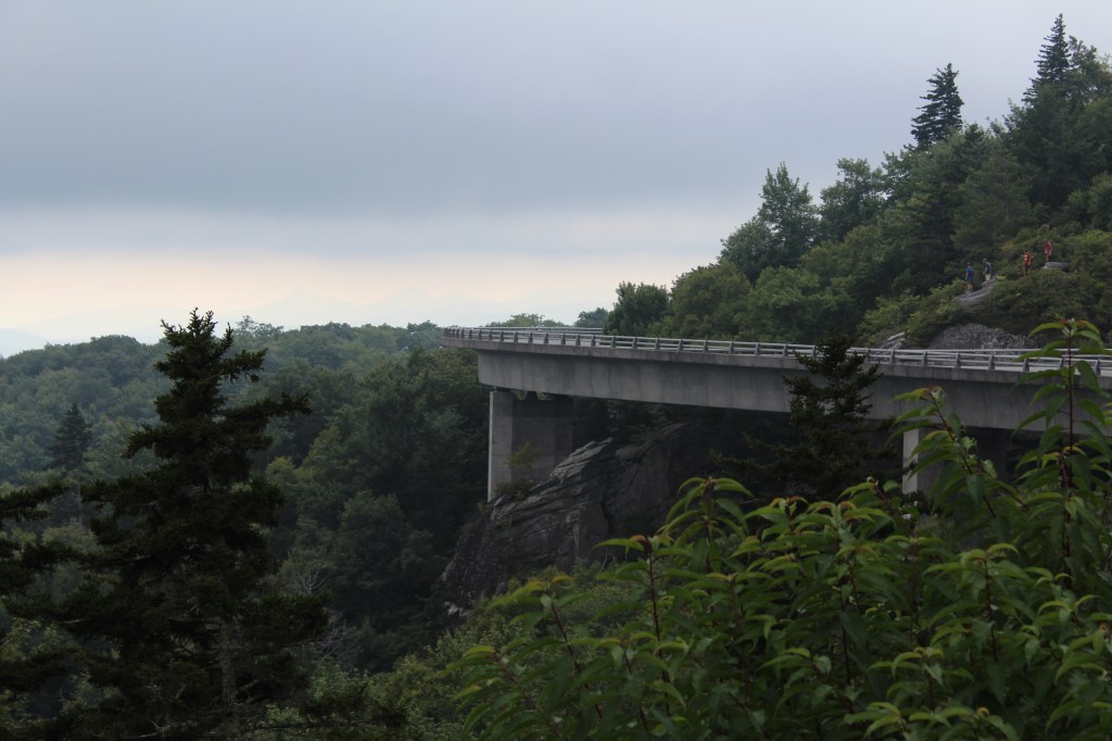
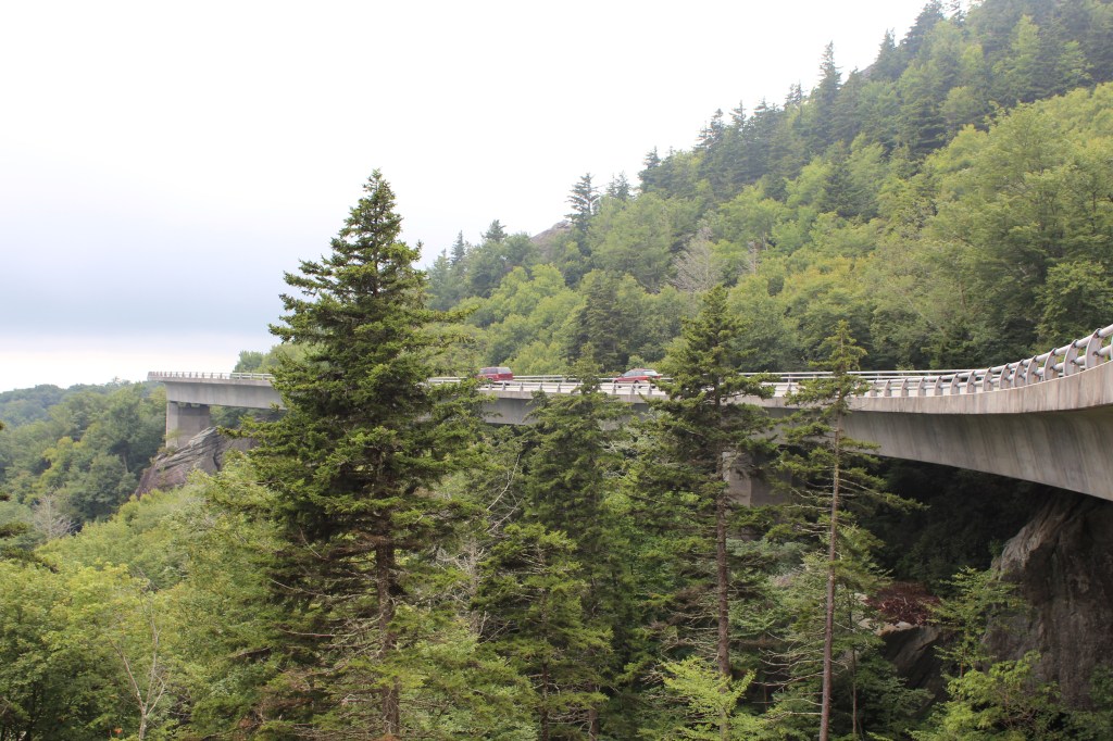
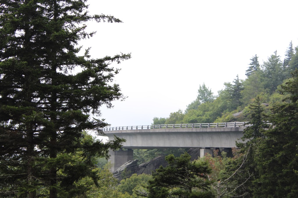
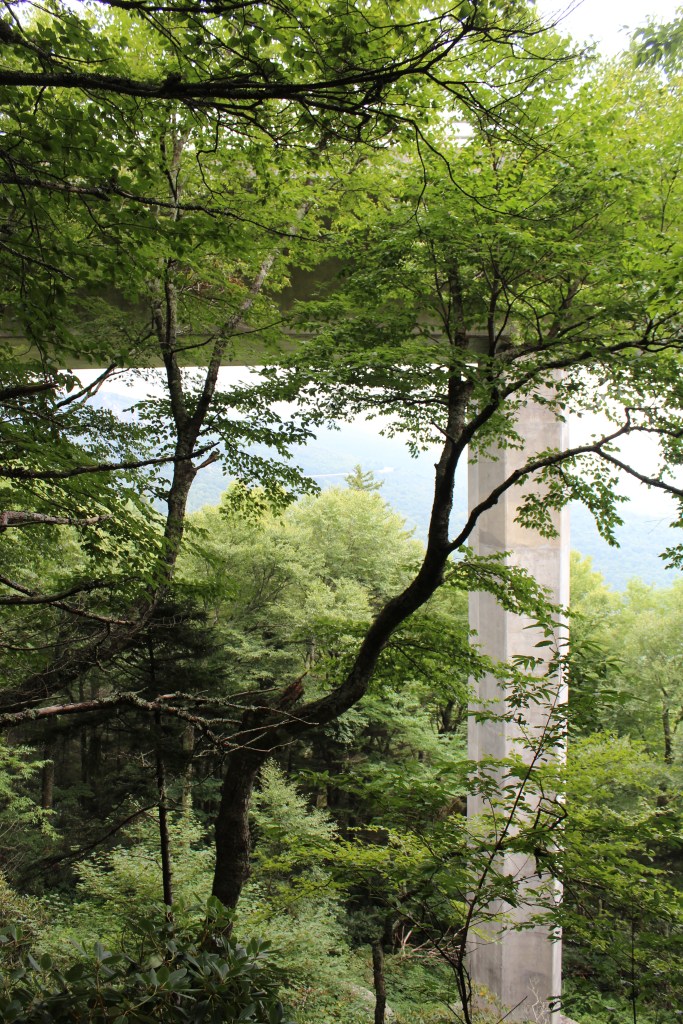
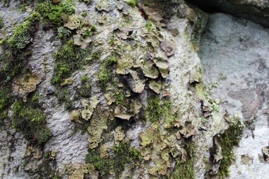
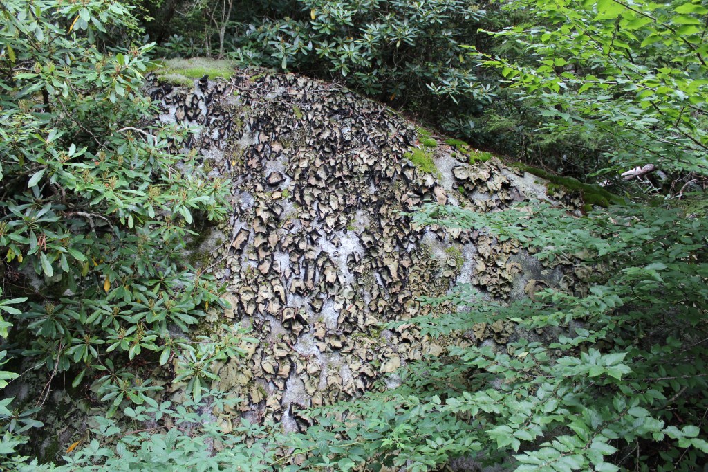
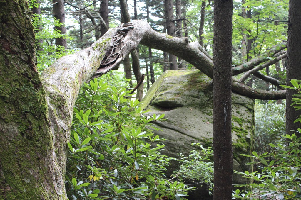
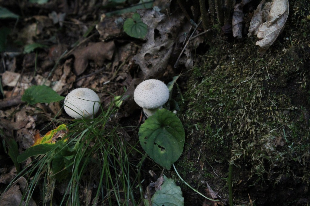
Over the course of its 469 miles, the Blue Ridge Parkway offers a LOT of enjoyable views. But the most photogenic part of the road itself is definitely the Linn Cove Viaduct, on the slopes of Grandfather Mountain. The Tanawha Trail allows hikers to view the viaduct from a variety of angles, and offers some other interesting scenery along the way. Check it out:


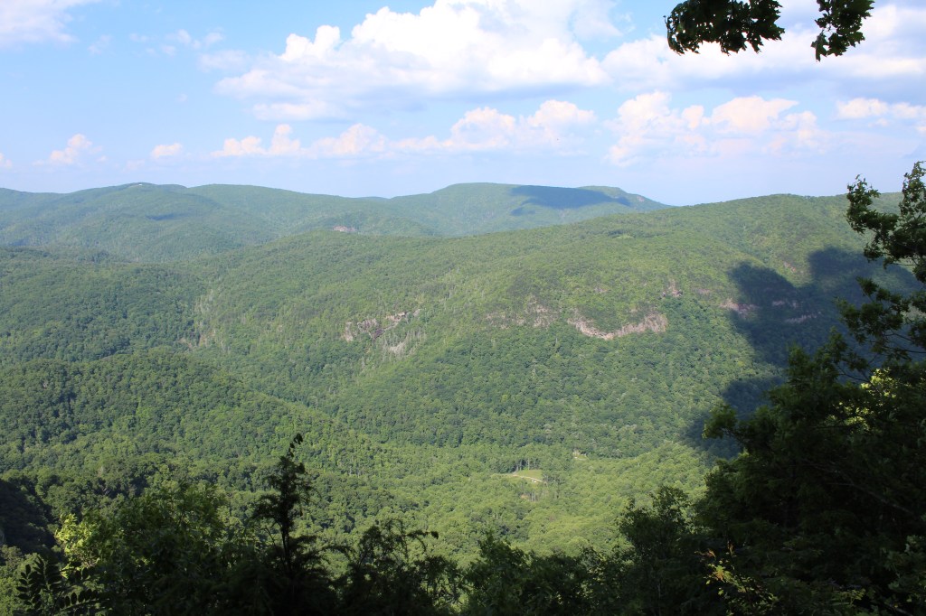
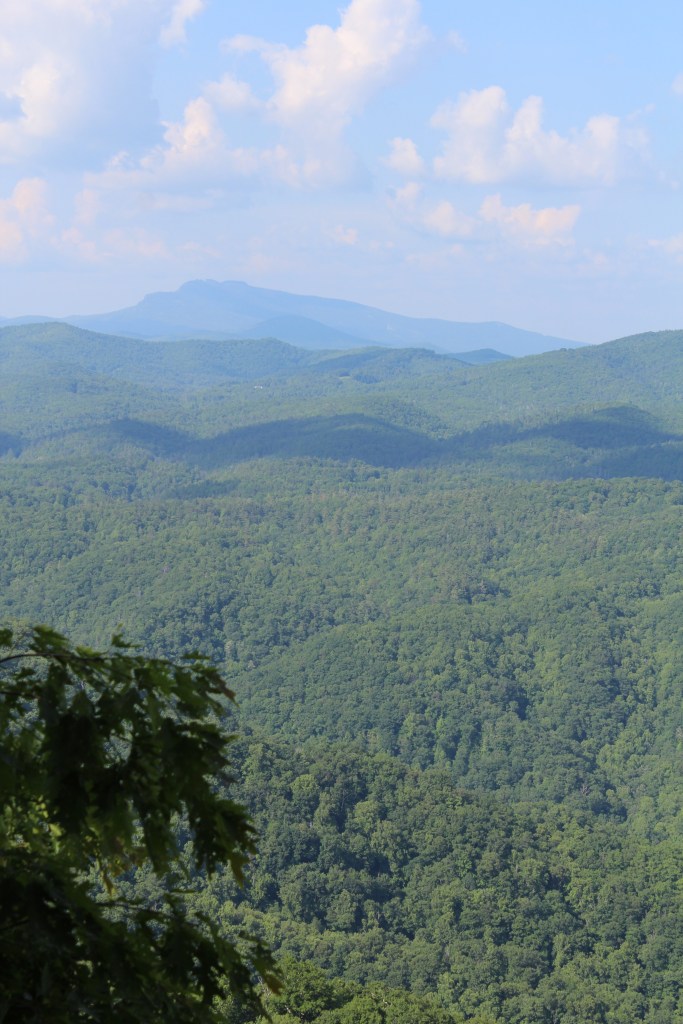
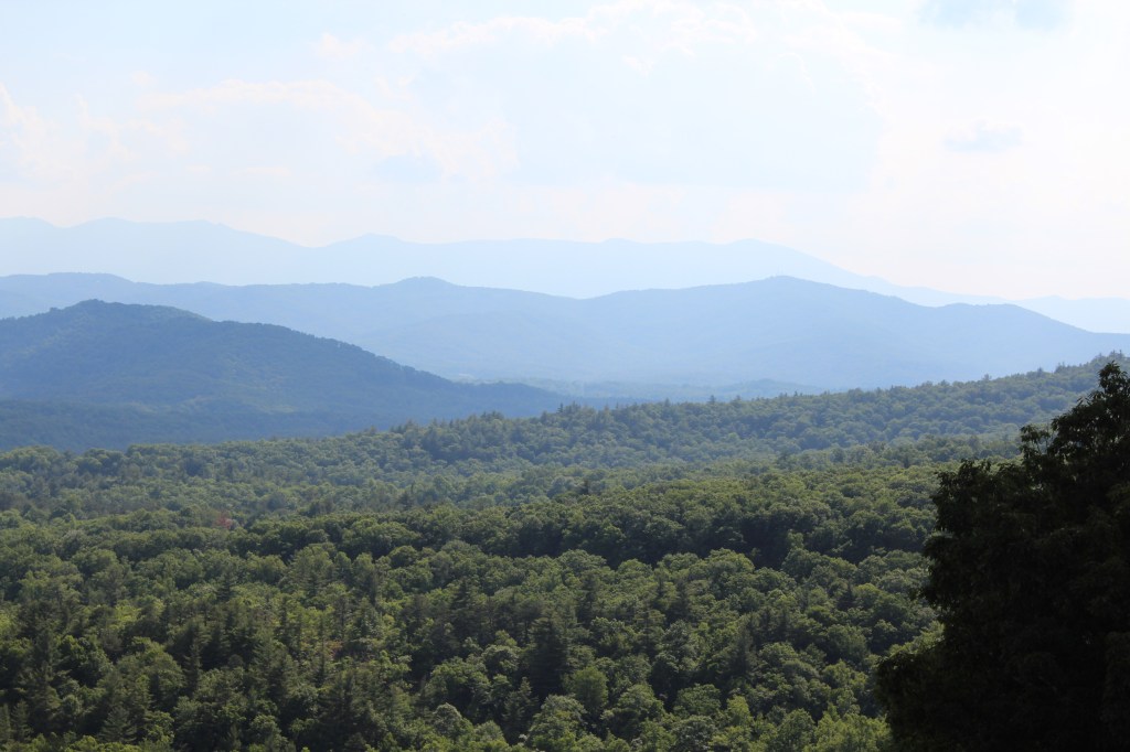
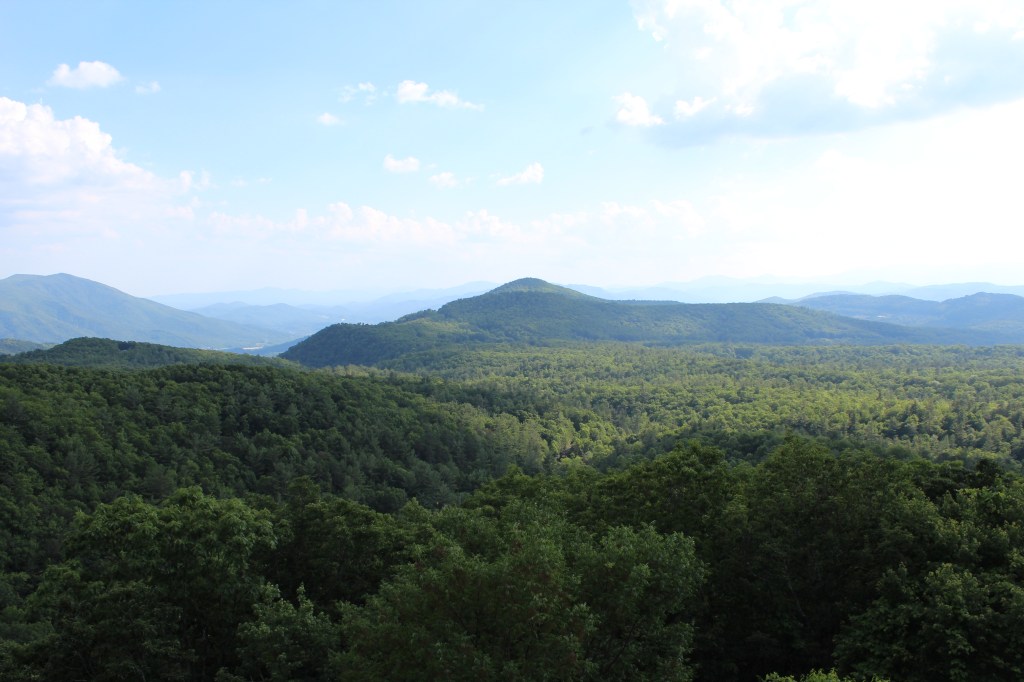
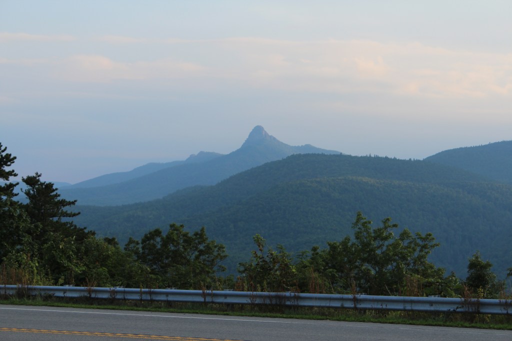
Leaving the Blue Ridge Parkway, I headed south on state highway 181 and soon encountered this most interesting overlook:


That’s all for this week’s edition of ThrowBack Thursday. It looks like next week will feature South Mountains State Park and a return to Great Smoky Mountains National Park. Come on back, folks!
