
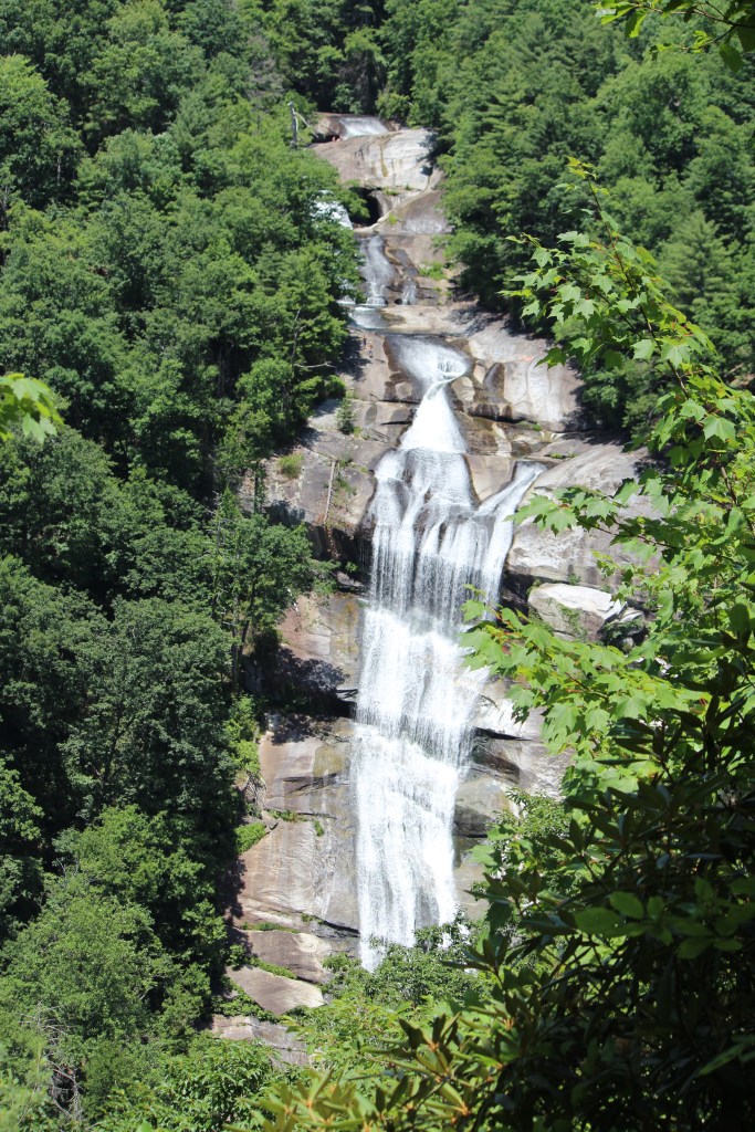
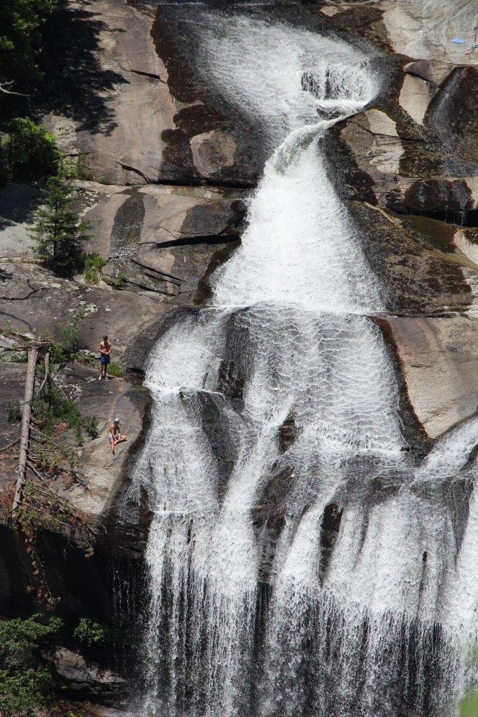
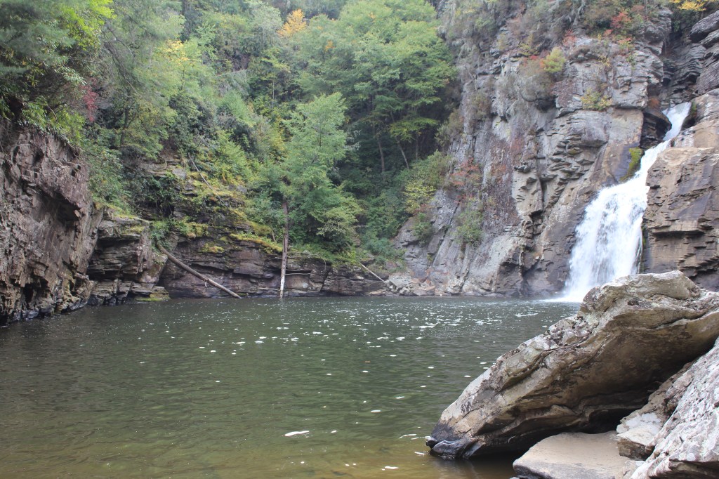
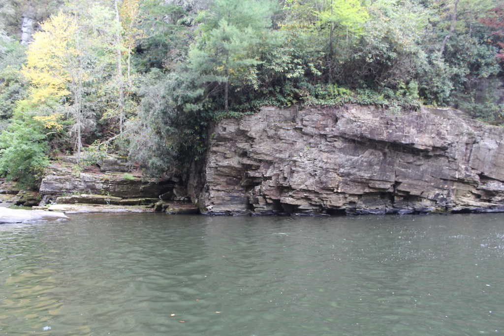
The problem with being a hiker / photographer in the Appalachians is that, while most trails end with something beautiful, there’s usually not much to see along the trail. I end up with far fewer photographs to share than with my Colorado hikes, where there are fewer trees, and more groovy rock formations. It’s not that the hikes in Appalachia are less enjoyable; it’s just that I end up compiling multiple outings to make a single ThrowUpBack Thursday post. And that’s what you’re getting today: three waterfall-hunting trips, and a few one-off pics to round things out. First up, Lower Whitewater Falls, which is just across the state line in South Carolina. I made a note to myself that it was a “pretty tough hike”, but I don’t remember it being that bad. Maybe it was just a lot more uphill than I expected. In any case, it was worth it; this one is awesome! Fire up your eyeballs and zero them in on this:
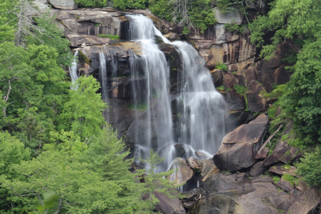
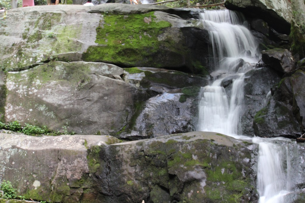
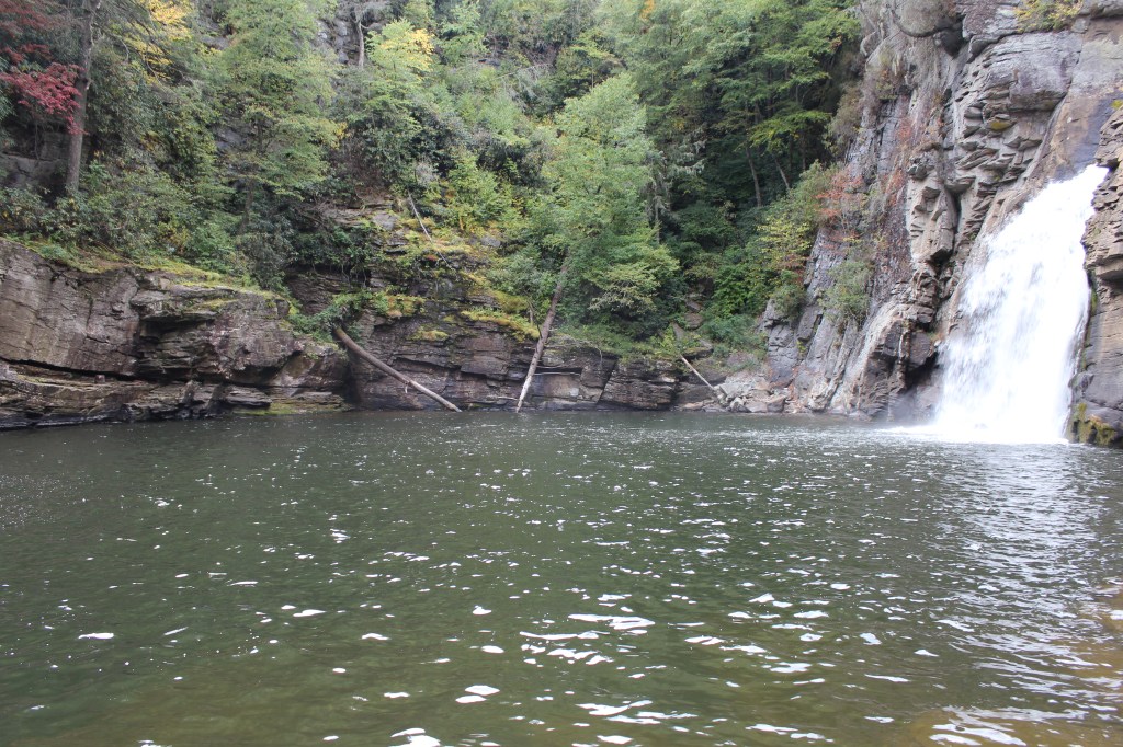
From there it was back upstream, back into North Carolina to Whitewater Falls. This is much easier to access than Lower Whitewater Falls. It has a big, paved parking lot, with a paved trail going a short distance to an overlook. I’m pretty certain this one is wheelchair accessible. With such easy accessibility, this waterfall draws a crowd. Thus, it’s no surprise that a small admission is charged. You may have guessed from the name of Lower Whitewater Falls that there is also an Upper Whitewater Falls. This iteration of Whitewater Falls is between the Upper and Lower falls. Why they didn’t name it Middle Whitewater Falls is anybody’s guess. Maybe the people in Kearney and Scottsbluff had something to do with it. Whatever the case may be, Whitewater Falls seemed smaller than Lower Whitewater Falls. Still worth looking at, though:
OK, I took you to Lower Whitewater Falls, then (Middle) Whitewater Falls, so we must be going to Upper Whitewater Falls next, right? Wrong. Why? I don’t know; go ask your mother. Or just look at these pics from the scariest of Carolina Counties:


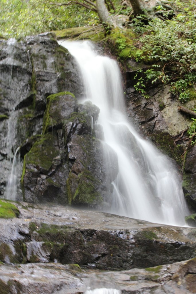
Then I worked for a week. Then it was time for a weekend at Great Smoky National Park. This time I explored the Tennessee side of the park, starting with Laurel Falls. The hike to this waterfall was pretty decent. I seem to recall it being paved at least part of the way, but very narrow in spots, not wheelchair-friendly. This is a busy trail, and for good reason. Have a look:
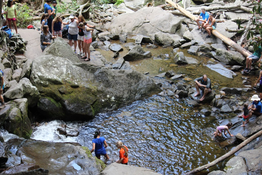

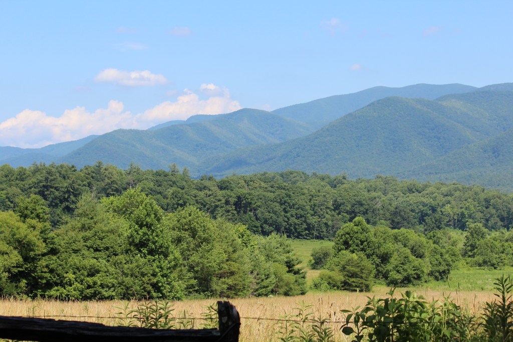
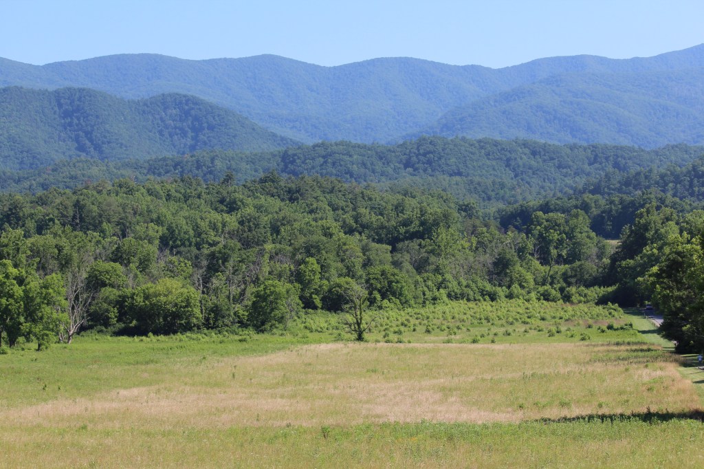
I continued to an area of the park knows as Cades Cove. This wide-open valley was home to many family farms before the National Park was established. I found the area to be somewhat reminiscent of North Park in Colorado, though significantly smaller. Take a gander:


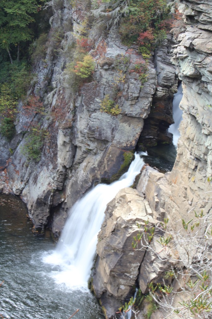
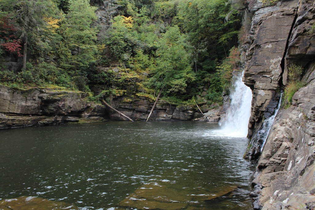
Not long ago, I wrote about hiking the upper trail at Linville Falls. In early October of 2017, I returned to Linville Falls, this time to hike the lower trail. Let me just say this about that: Never again. The trail down to the lower Linville Falls is the single most treacherous trail I have ever hiked. I’ve hiked old, washed-out burro trails in the Rockies, and trails that simply disappear into the woods. Nothing was as difficult as this thing! This has nothing to do with elevation change or distance or steepness. This trail is just covered with tree roots and boulders of varying sizes to the point where there were times that I didn’t know where I could put my big damn foot to make the next step. The hike goes downhill from the parking lot, and I was having to fight gravity to bring myself to a stop with each step, so I could assess the next step. But I think it was worthwhile to hike it ONCE. The reward is the scene pictured below:


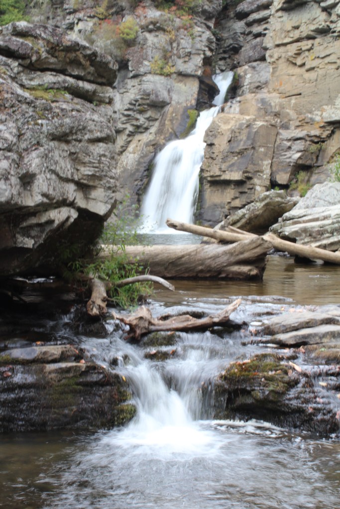
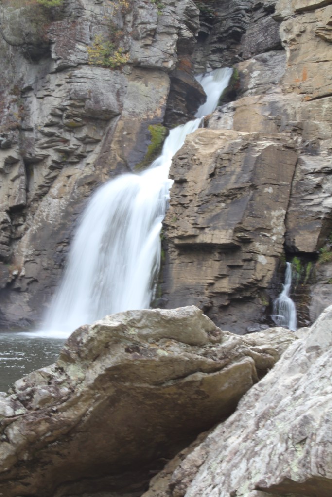

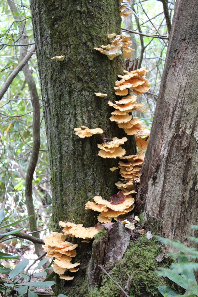
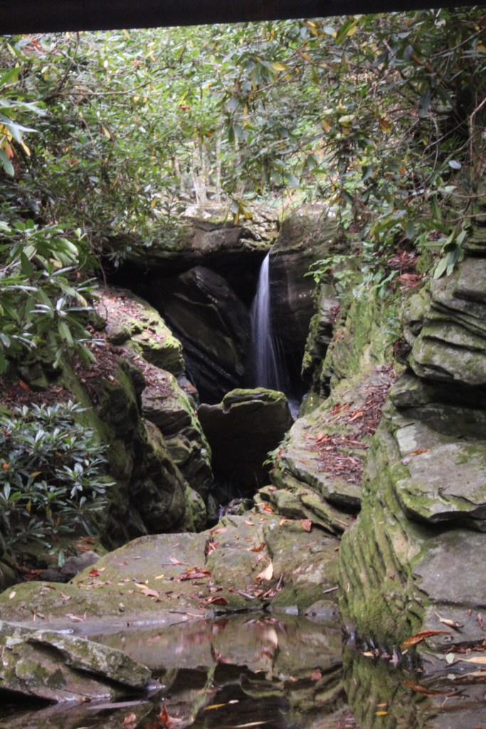

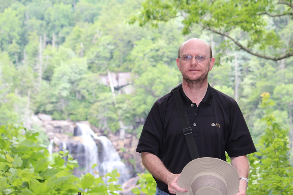
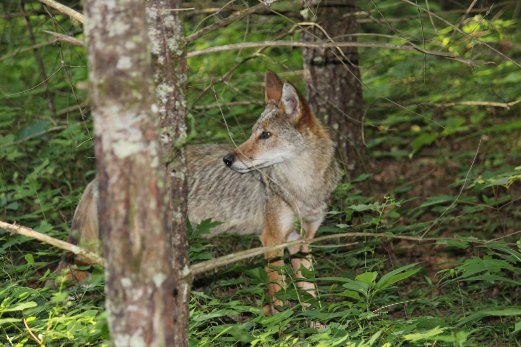
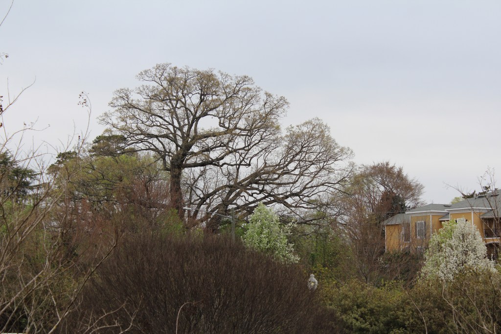
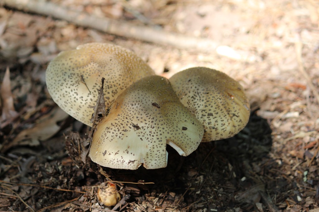
Finally, I offer up for your enjoyment, three photos that have nothing to do with each other, or with any trips:
I hope that you have enjoyed this trip through time, space, and llama innards. It’s lookin’ like next week’s installment will feature fall foliage along the Blue Ridge Parkway, followed by a trip to an old gold mining town (Gold Hill, North Carolina). Peace!
