
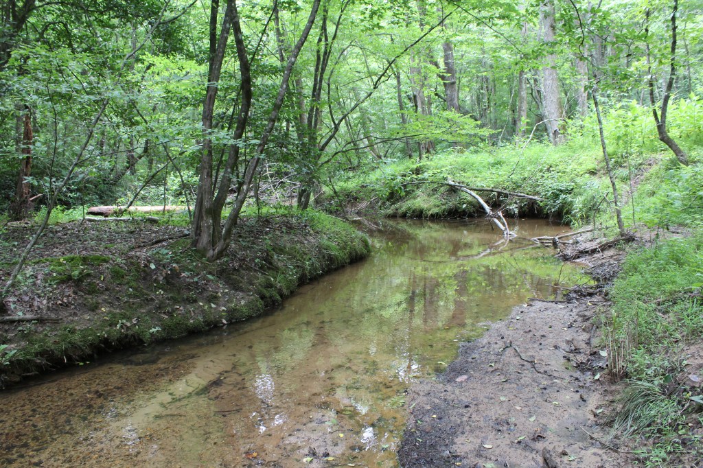
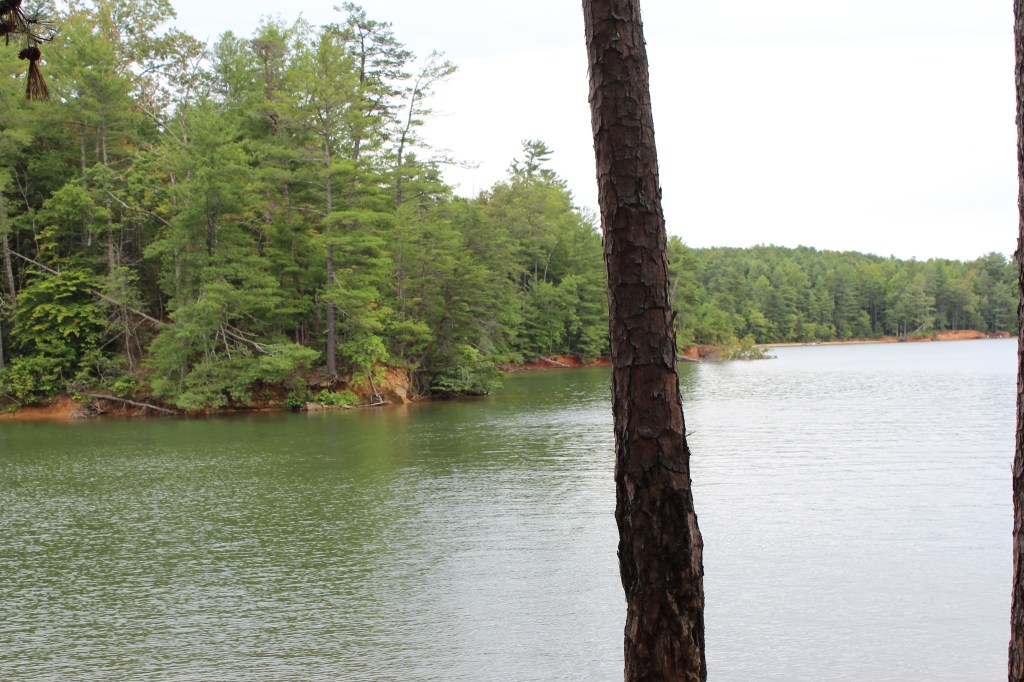
On 25 June 2017, I and a niece set out for a hike up Table Rock Mountain. A few days earlier, I had used one of the many web-based map services to get directions to the trailhead, then wrote down the directions. These hand-written directions turned out to be rubbish. They led us to a gate, which hosted a plethora of signs, each of which clearly conveyed the message that this was not the right way. I don’t remember for certain, but it seems to me we consulted a GPS app or two, but they also pointed us to the gated road. We could see Table Rock Mountain nearby; in fact, it almost seemed as though we could have reached out and licked it. So, I figured I could just circle the mountain until we came across a sign or a promising road. Somehow, on those winding mountain roads, I failed. We did not find the trailhead for Table Rock Mountain that day, but we did eventually happen upon a lakeside trail, so we took a walk along the lake. There were no signs indicating which lake this was, or even giving the trail a name, and I doubt I could find it again on my own. Thus, I call this trail The Unknown Hike. Looking at a map of the area, I can say now that it was almost certainly Lake James.
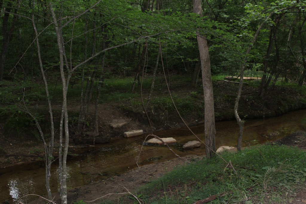
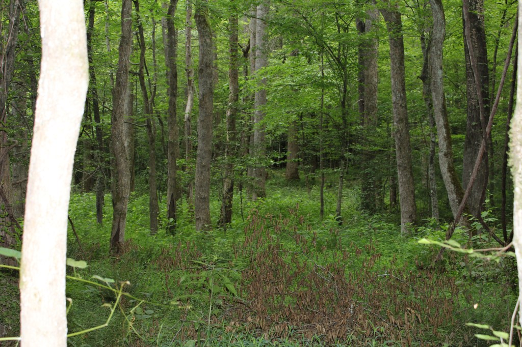
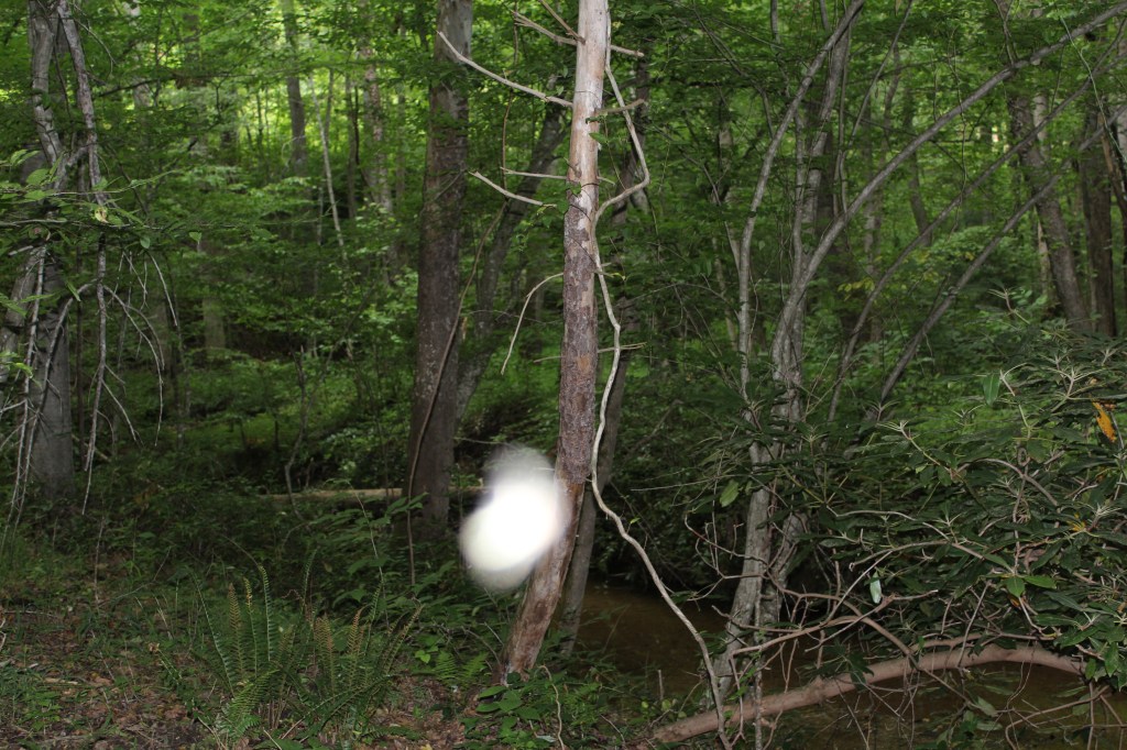
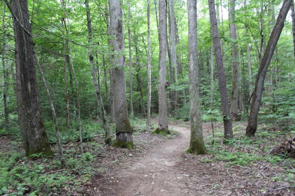
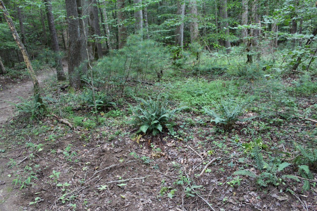
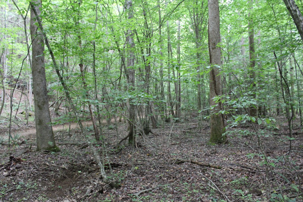
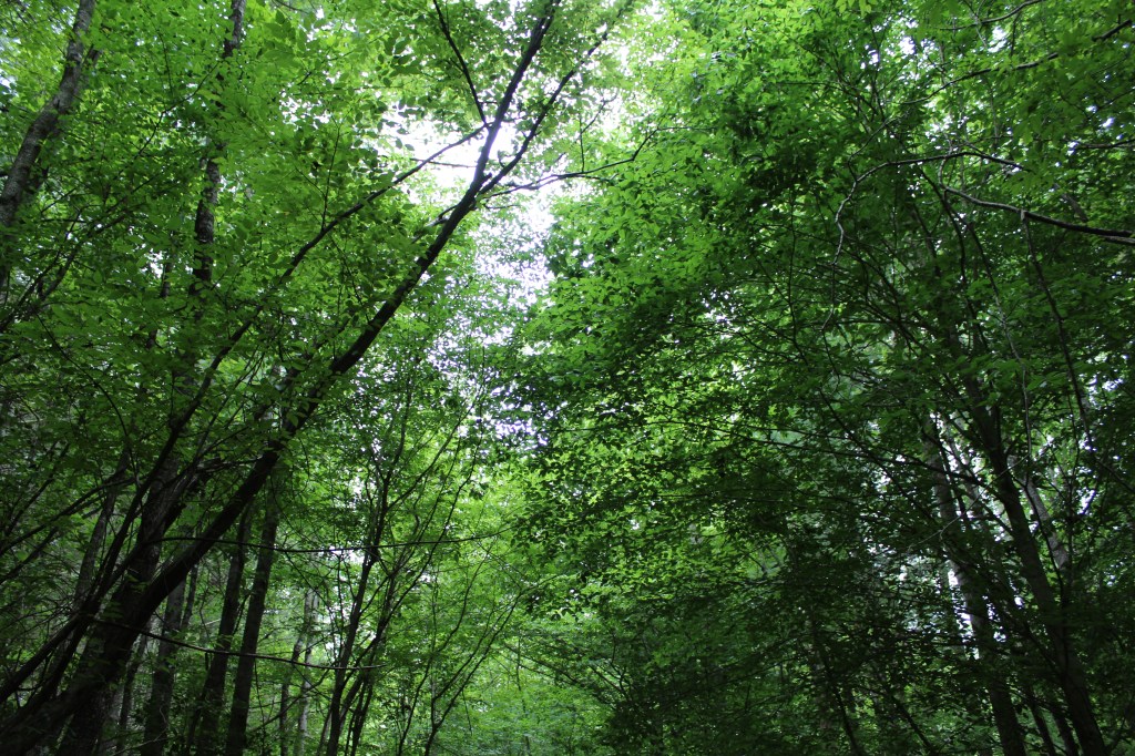
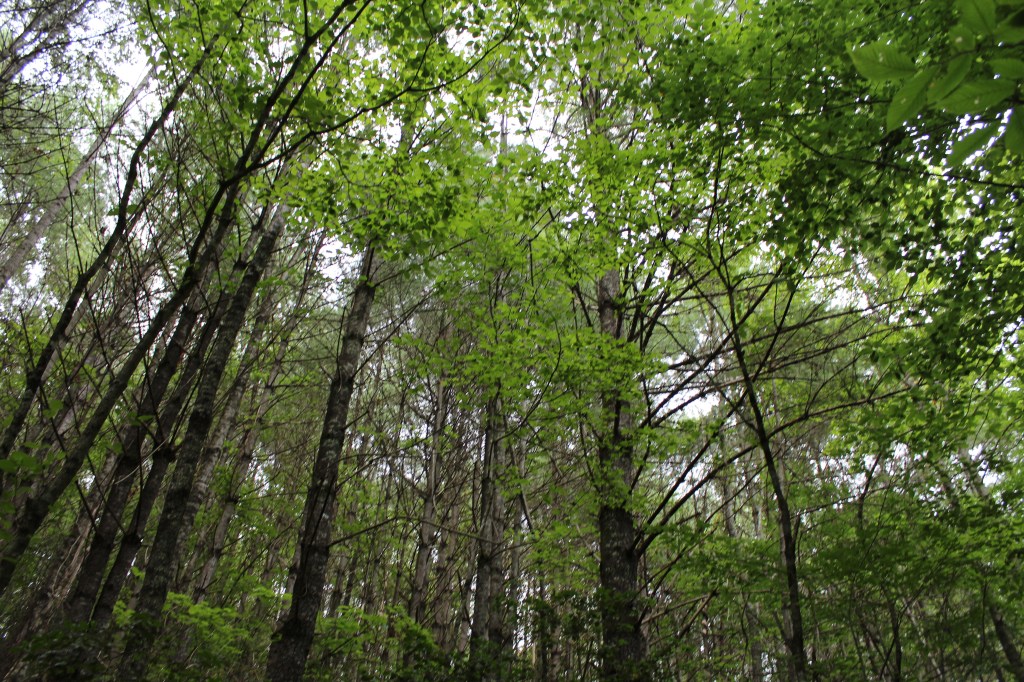
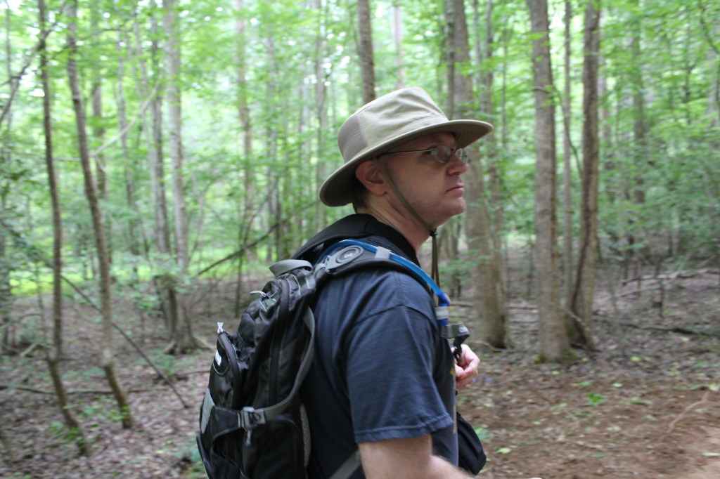
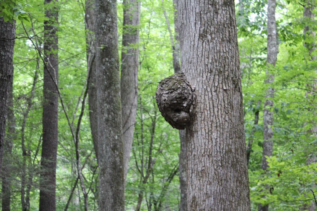
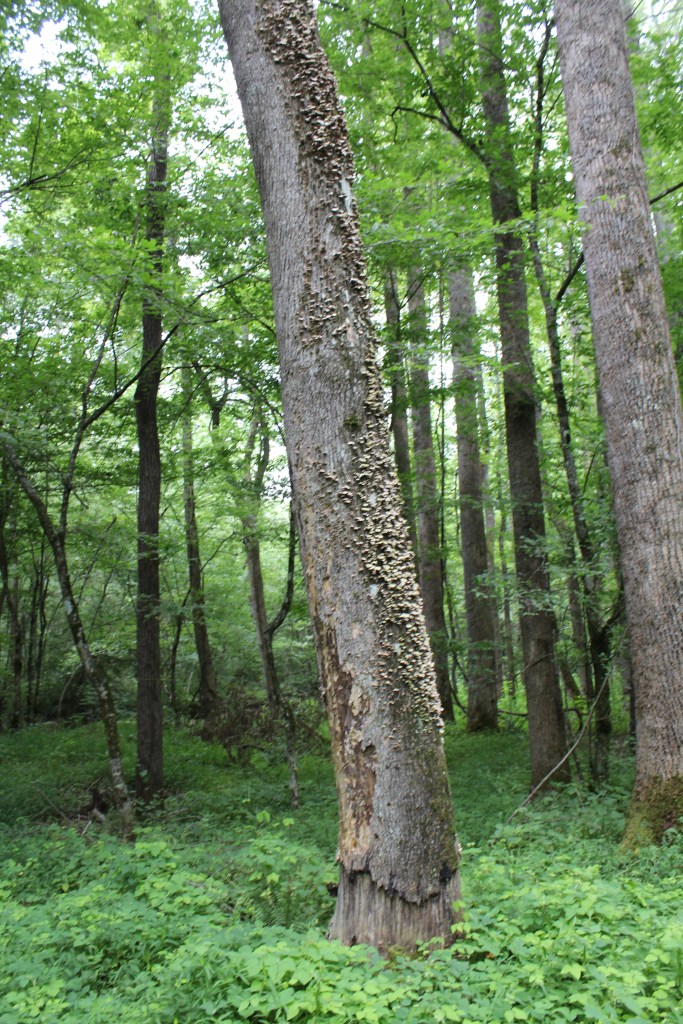
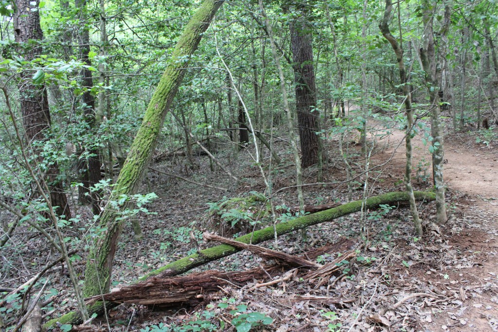
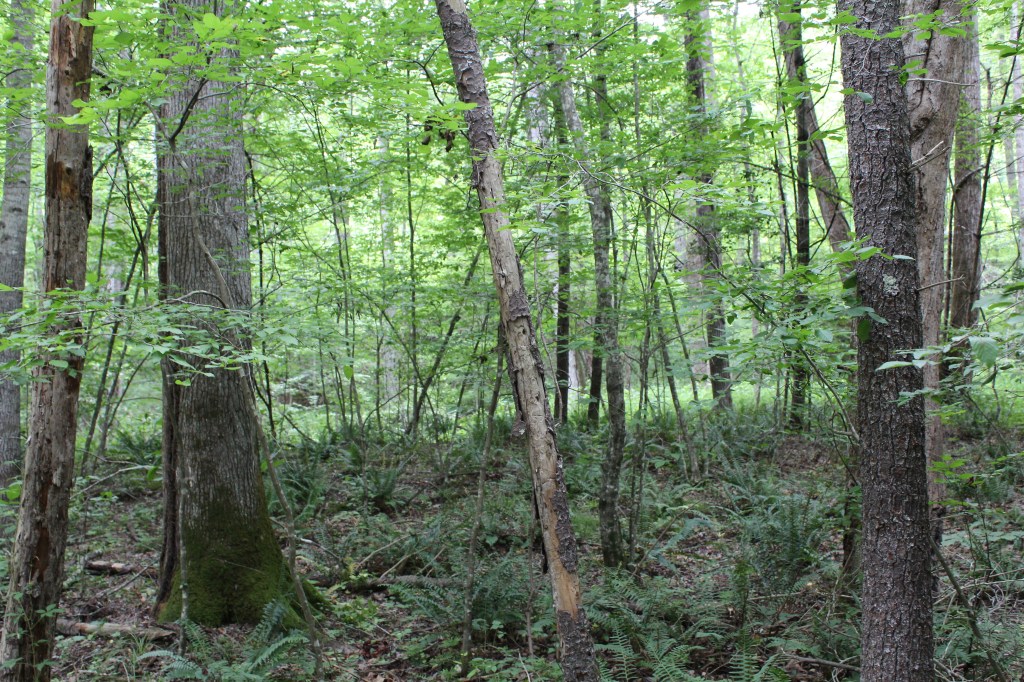
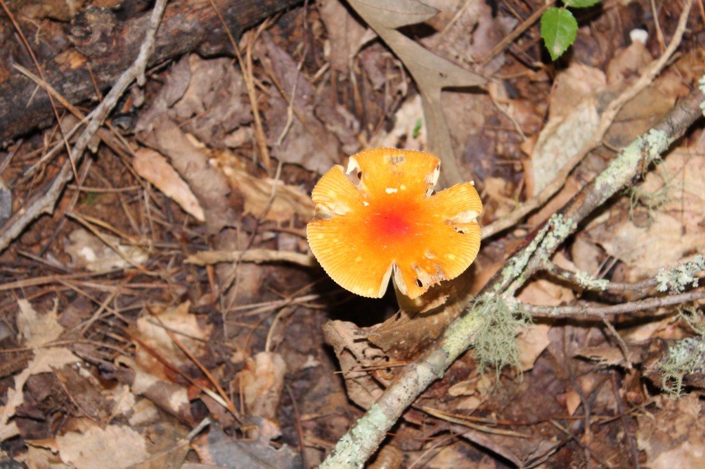
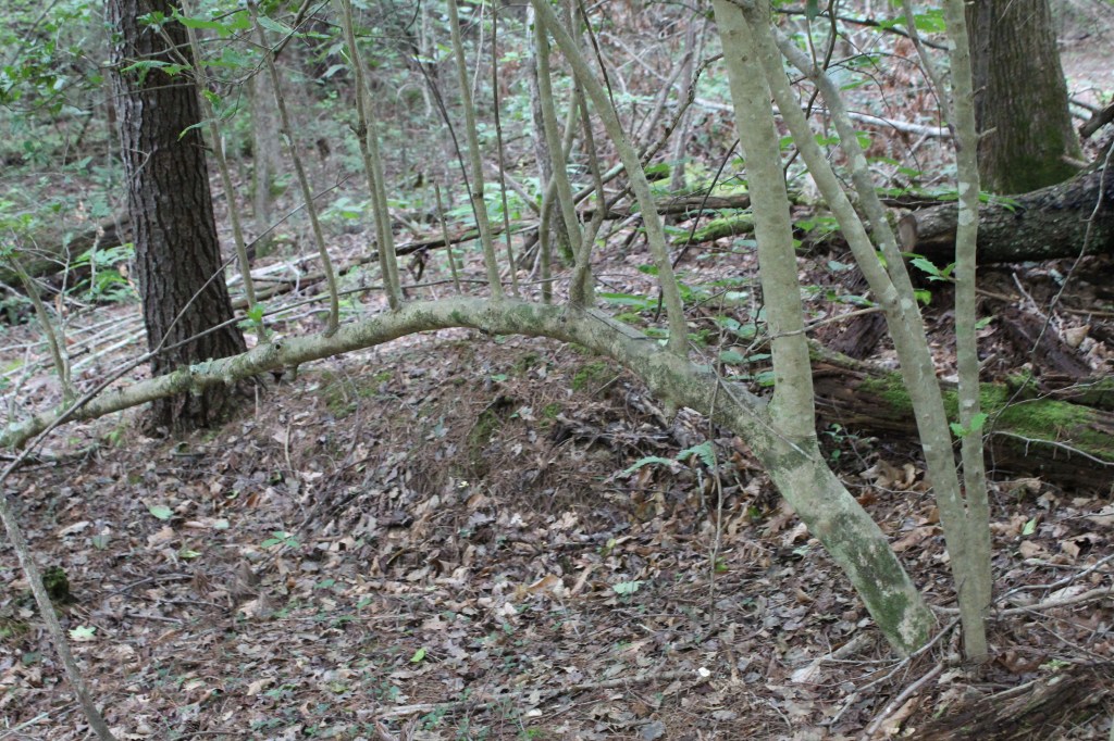
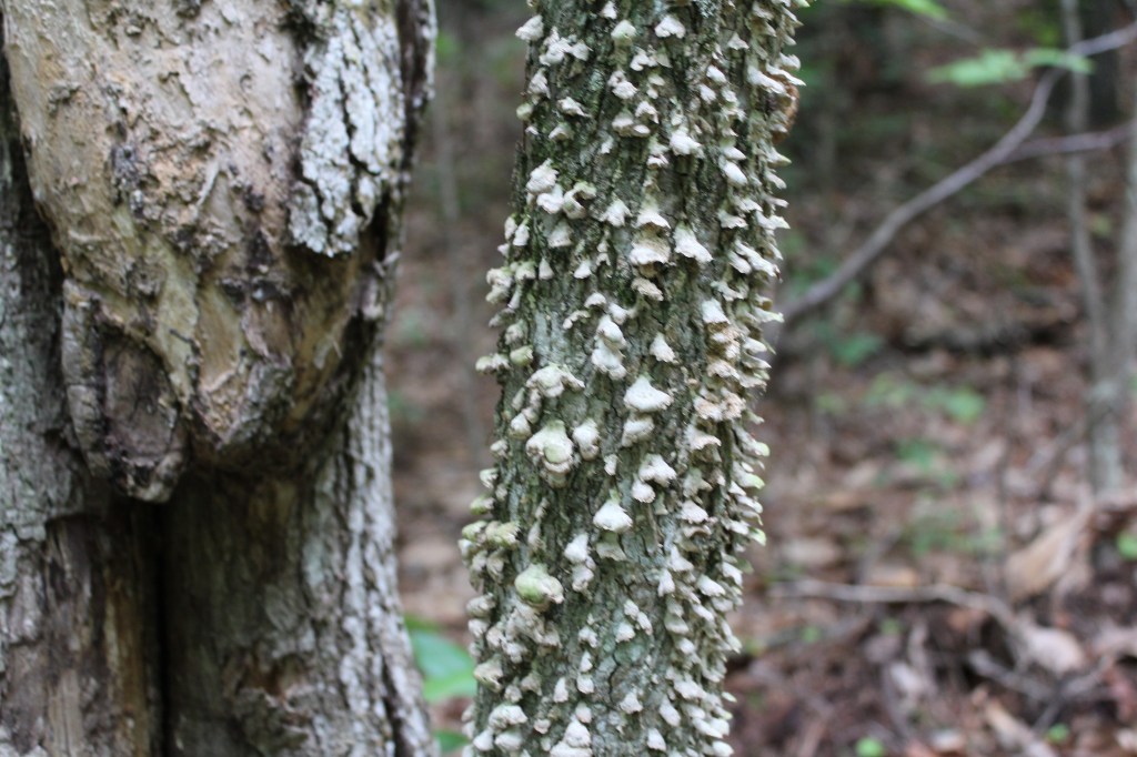
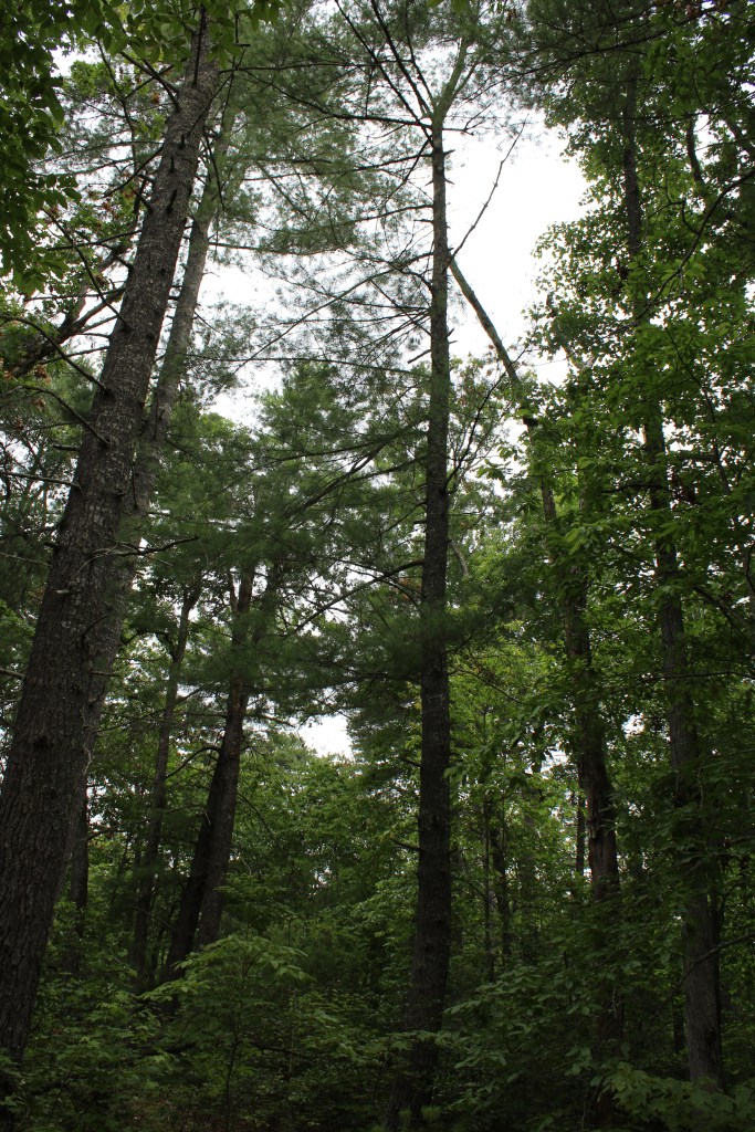
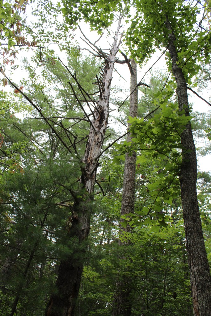
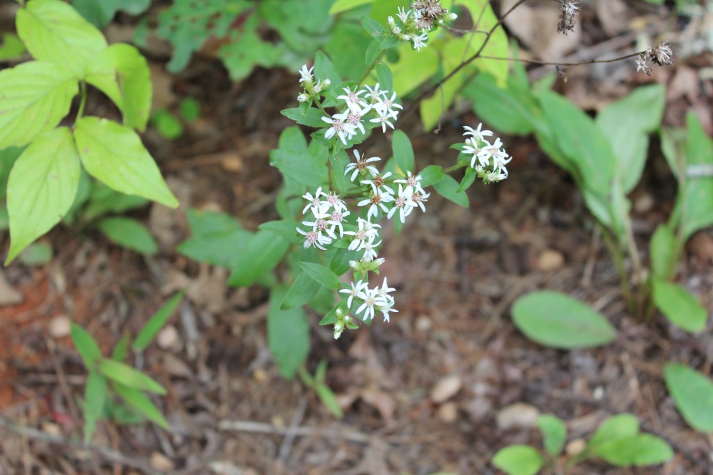
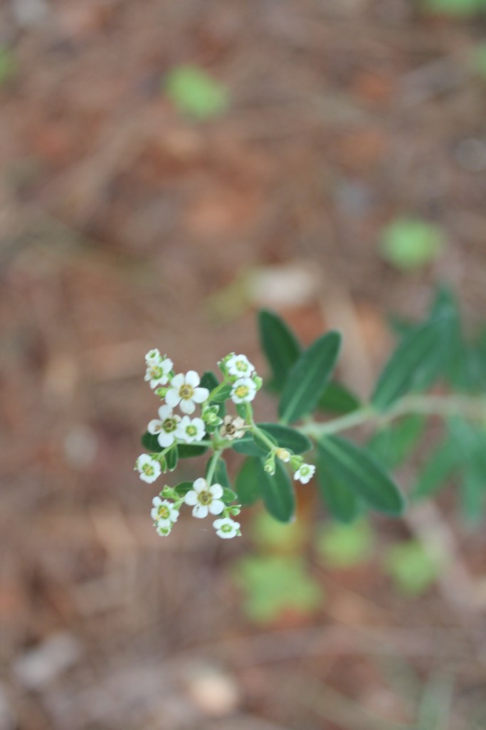
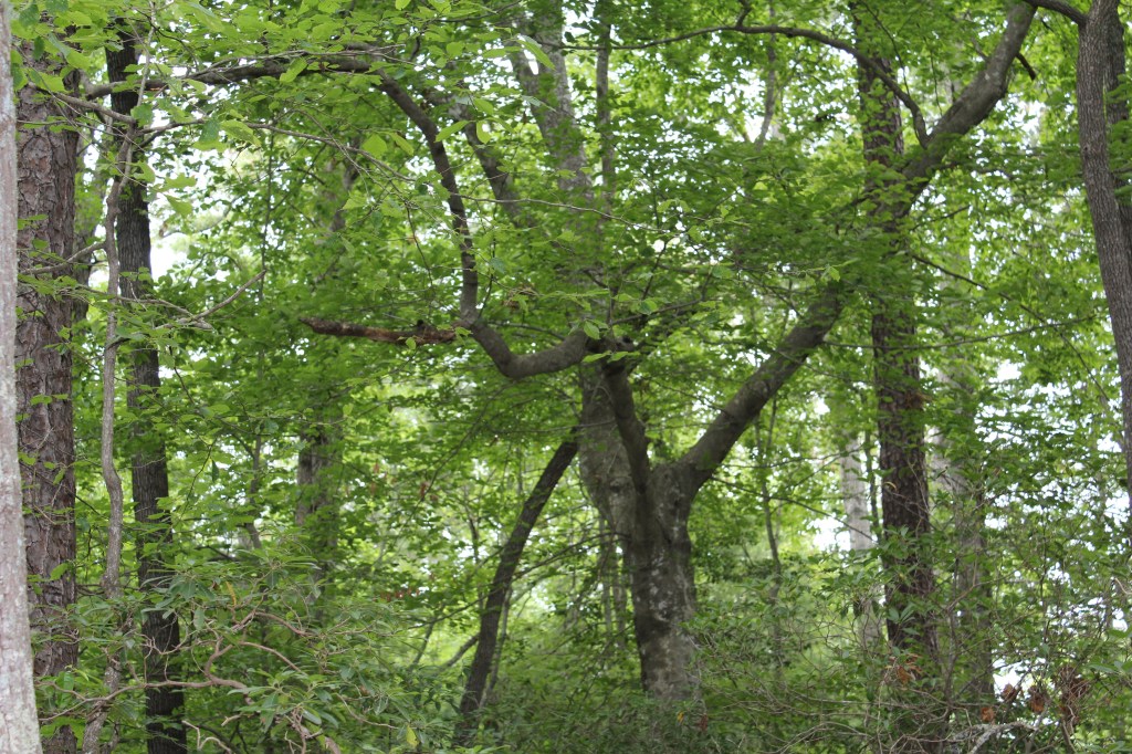
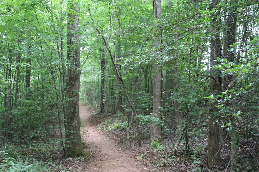
A couple of weeks ago I said that, in the Appalachians, most trails end with something beautiful but there’s usually not much to see along the trail. This trail argued otherwise. It didn’t lead to any grand vistas, but there was plenty of interesting stuff alongside the trail. Incidentally, my companion commandeered my camera for a good portion of the hike. I’m not sure which photos were taken by which person, but they were all taken on My Good Camera. Here are some of them:


I think that’s enough pictures for today. Come back next Thursday for nude photos of Oprah. Well, probably not.
