
I never know how to begin these hodgepodge posts. Let me try this approach:
Let’s look at some photos, DAMMIT!
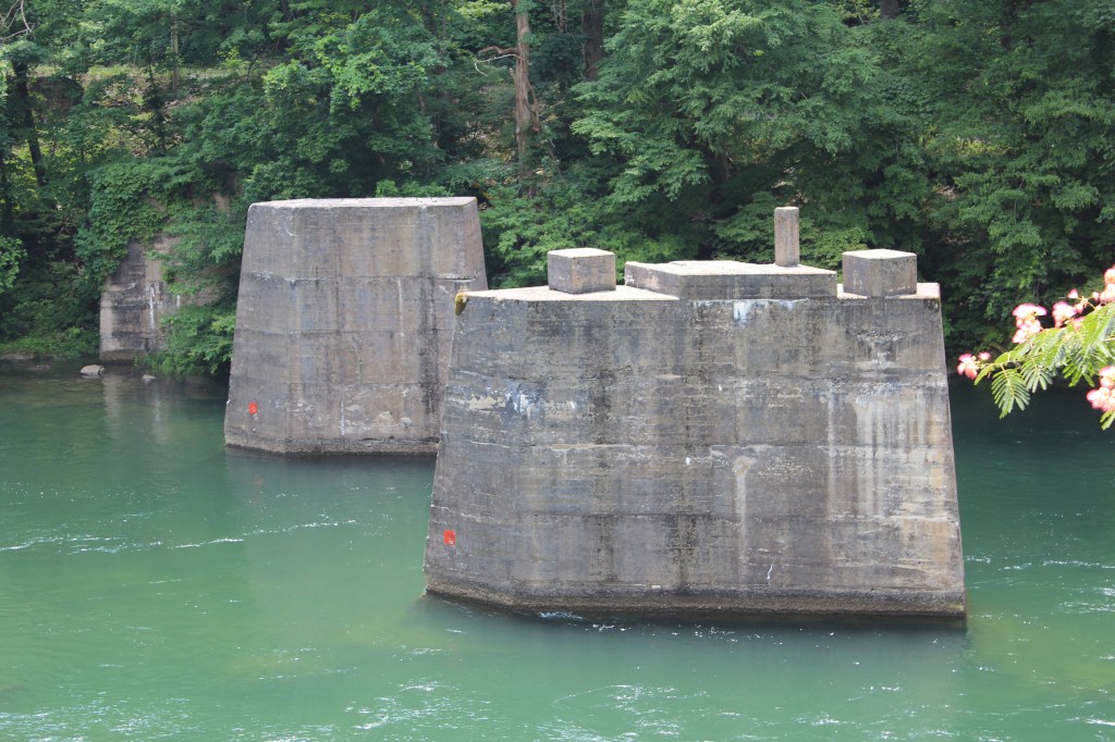
Yeah. I think that works. We begin in June 2019. I was visiting Cherokee, NC again, and decided to go into the Great Smoky Mountains National Park Visitor Center. I had never actually been inside the visitor center, so I thought it would be nice to drop in and learn a bit more about the park. But instead, I ran into some information about something just outside the park – TVA’s Fontana Dam, the highest dam east of the Rocky Mountains. So, with only a glance at a map and a belief that I could not possibly miss such a large target, I left the national park and started roaming towards the southwest. And missed my target. I ended up 25 miles past Fontana Dam, where I happily happened across Cheoah Dam. This lovely gem of a hydroelectric dam was celebrating its 100th birthday! Let’s have a look at the festivities:
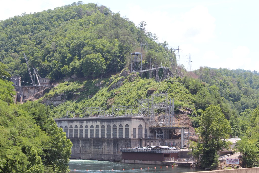
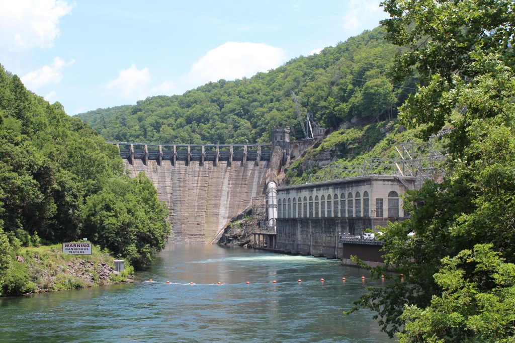
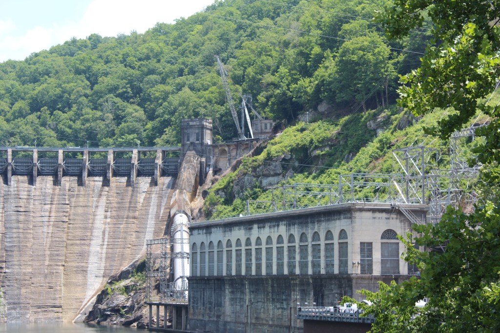
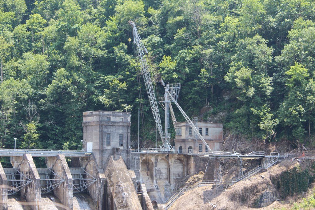
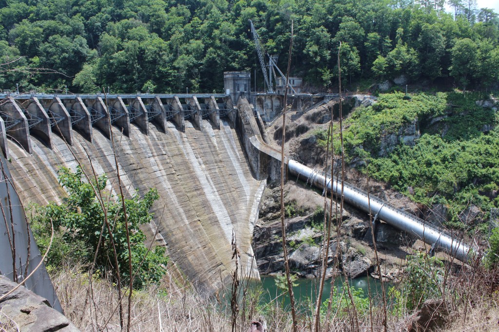
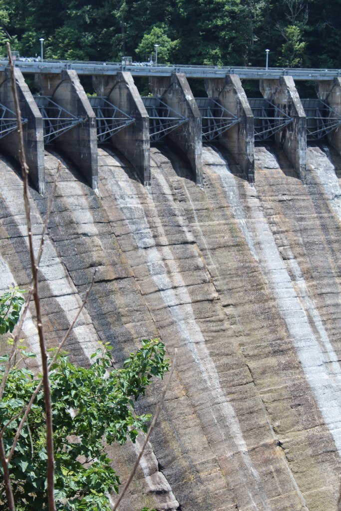
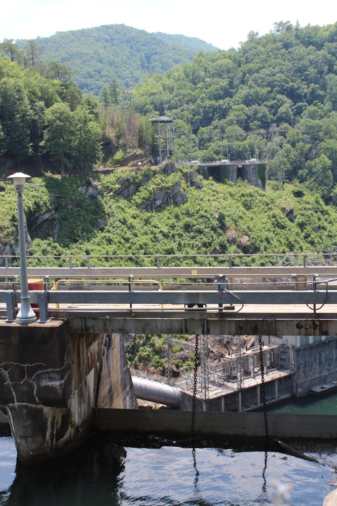
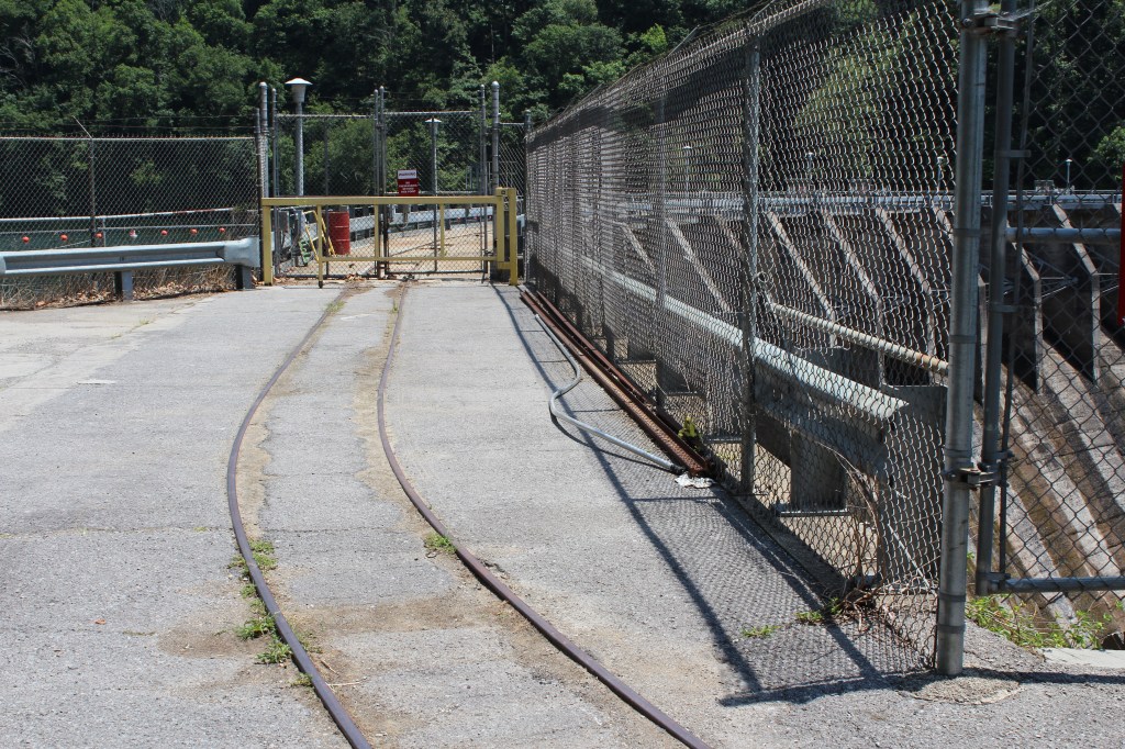
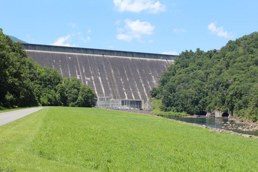
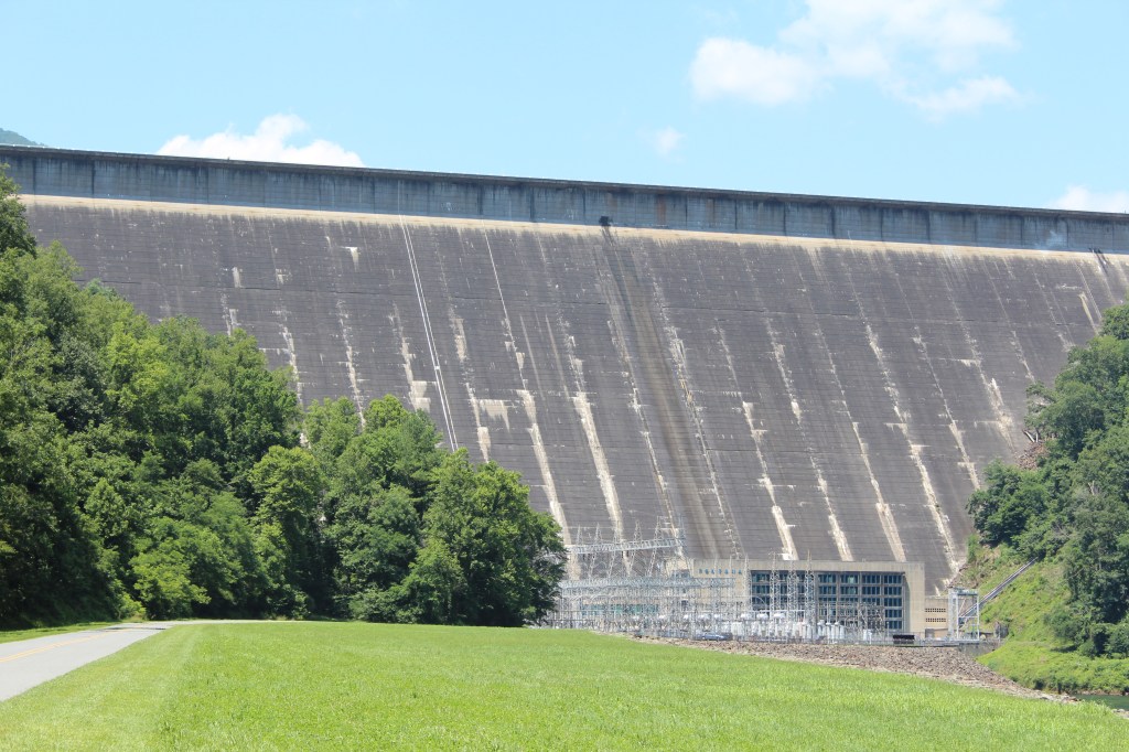
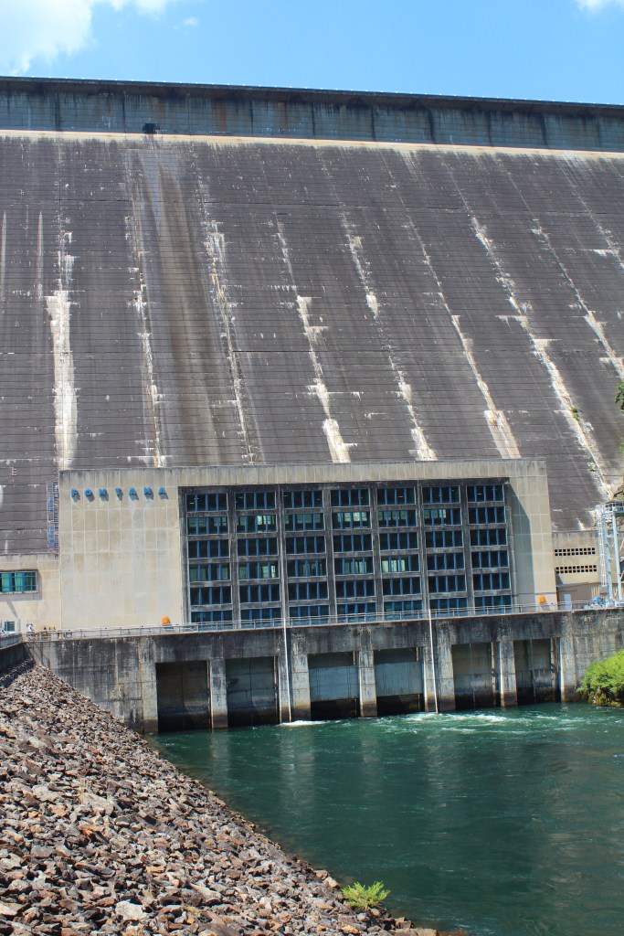
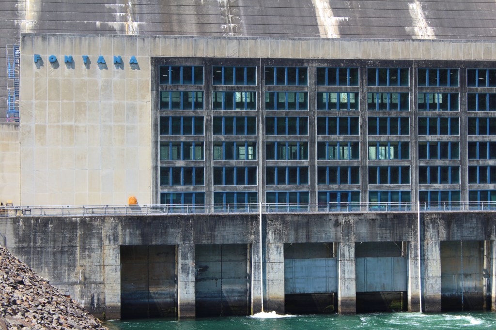
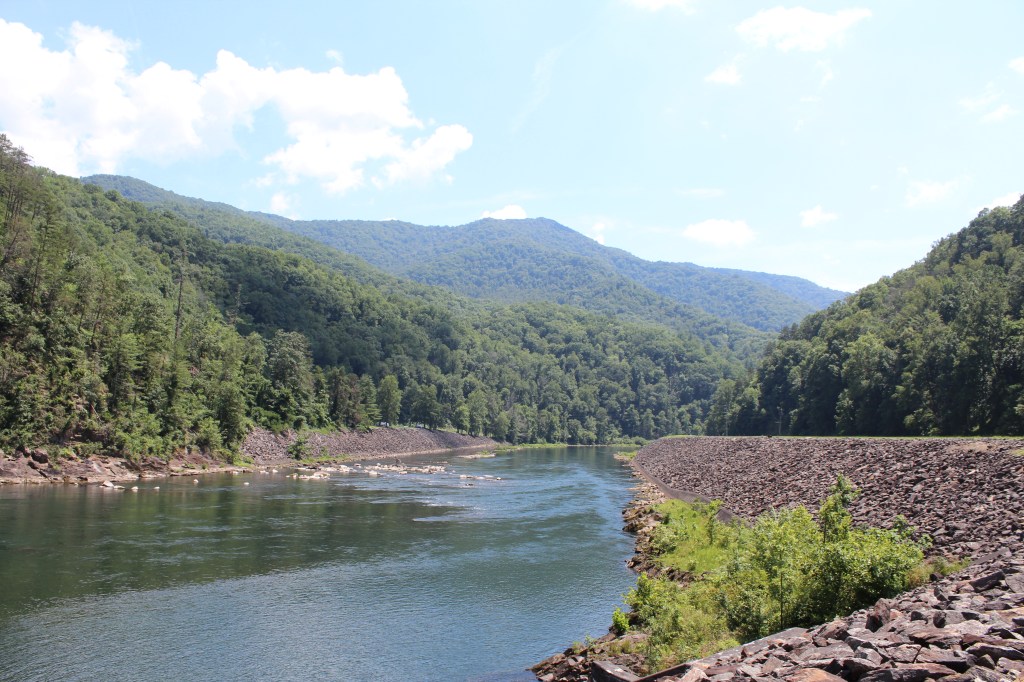
I did eventually find the Fontana Dam. I was a little disappointed. It’s definitely big; huge, even. I guess I just expected the highest dam east of the Rocky Mountains to look a bit higher than this. Take a look and form your own dam opinion:
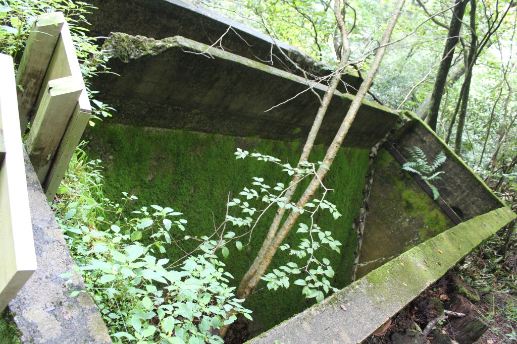
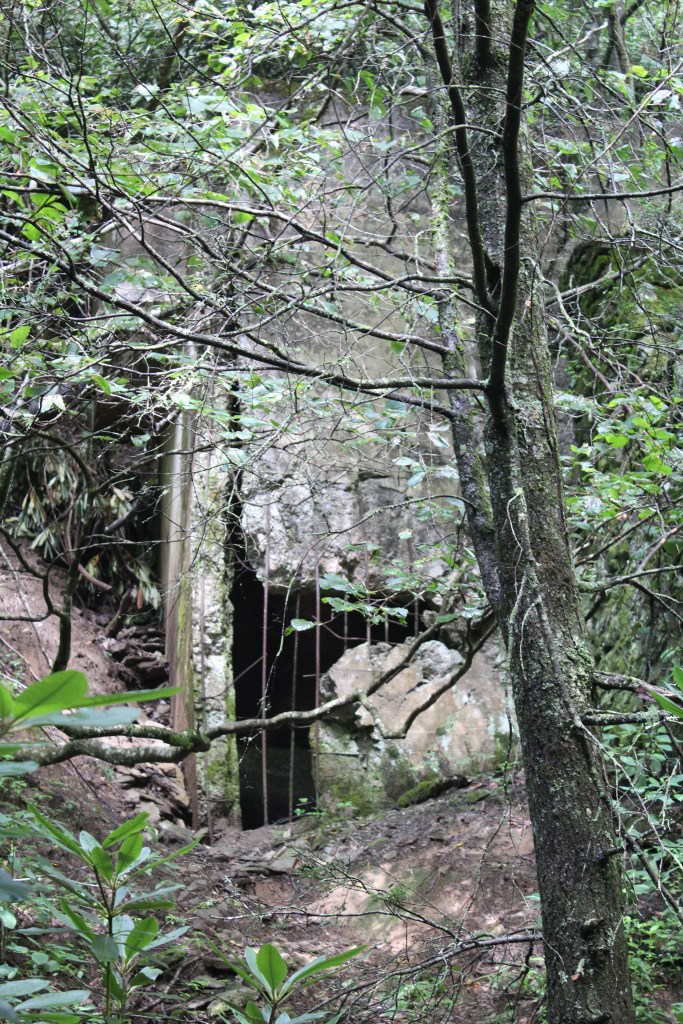
In August of 2019, I decided to take a break from the southern summer heat. So, I headed up in elevation to Boone, North Carolina for a weekend. I planned on doing one hike on Saturday and one on Sunday. Saturday was Glen Burney Trail, inside the city limits of Blowing Rock, North Carolina. The parking area (at least the one I used) is at the top of the trail. The trail starts off pretty level, maybe a slight downhill slant, until you find yourself at the ruins of a sewer plant that was abandoned in 1929. Here’s a few quick pics o’ that:
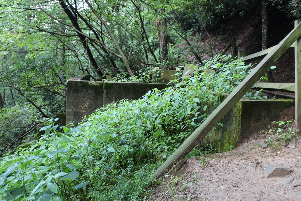
Once you have passed the sewer plant, the trail narrows and goes steeply downhill. Folks, I cannot stress this enough:
DO NOT ATTEMPT this trail when there is ANY possibility that it will be wet. This warning applies to EVERYONE, not just those of you with Parkinsons. The dirt of this trail, with just a few sprinkles of rain, rapidly transformed into an amazingly slippery mud, and there are sections that are extremely steep. Remember that it’s all downhill from the parking lot, so it’s all uphill getting back. I watched several people who each had to make several attempts at one or more of the steepest sections, before they finally gave in and belly-crawled their way up, leaving themselves covered in mud. These were people of all ages, sizes, genders, species, etc., most appearing to be in good physical condition. And there was nothing down the trail to make the ordeal worthwhile. Below the old sewer plant, the trail follows the bottom of a very narrow and steep gorge between two neighborhoods. Over the years, LOADS of trash has washed down into the gully from the neighborhood streets above, ruining what was probably a beautiful little gorge some time in the distant past.
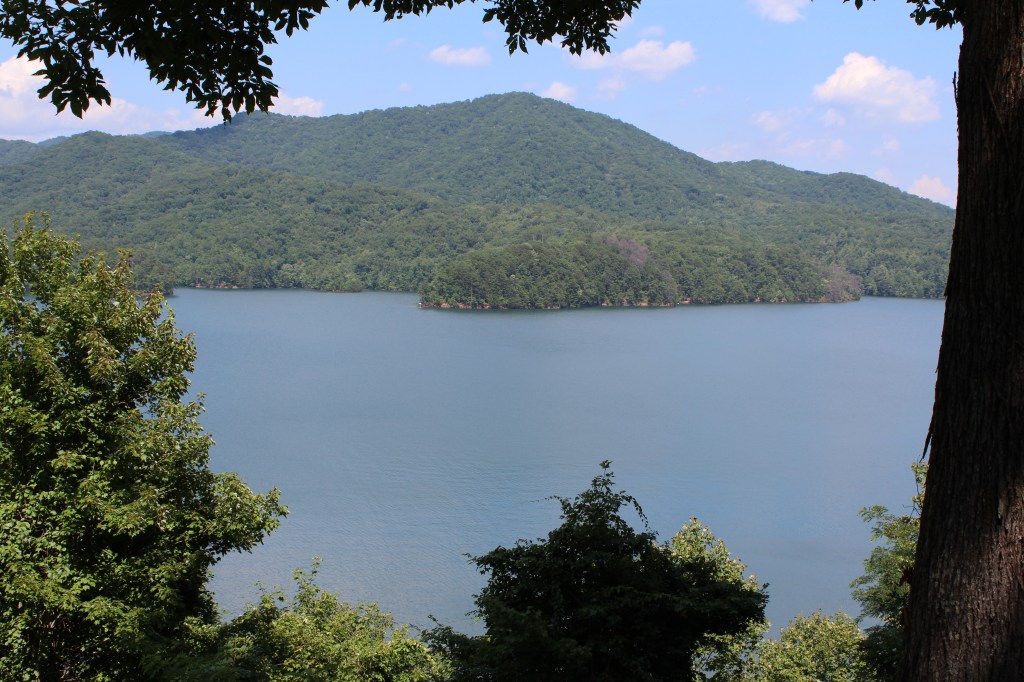
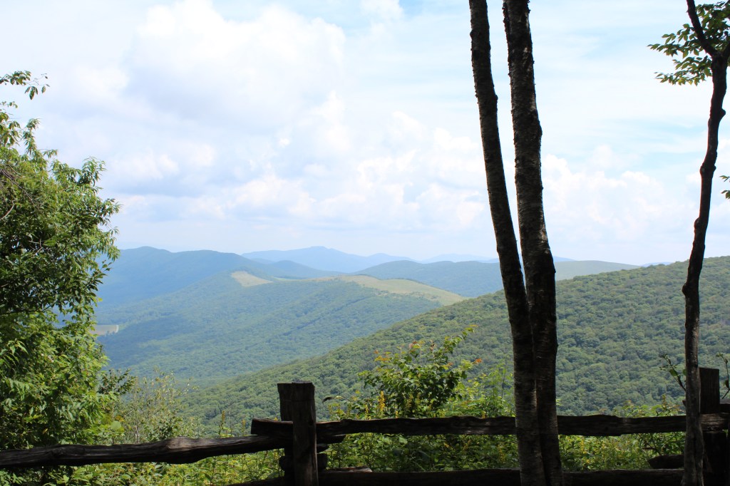
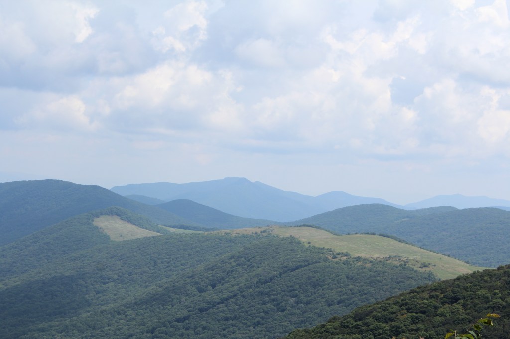
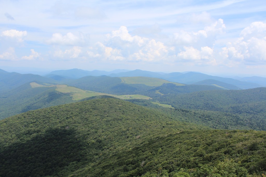
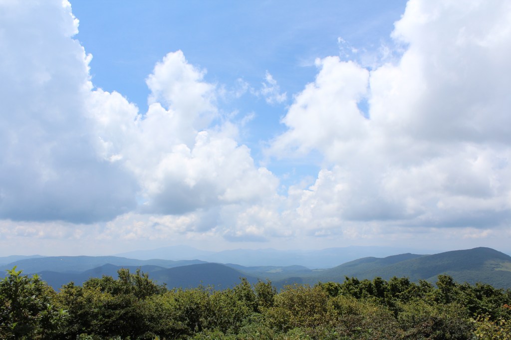
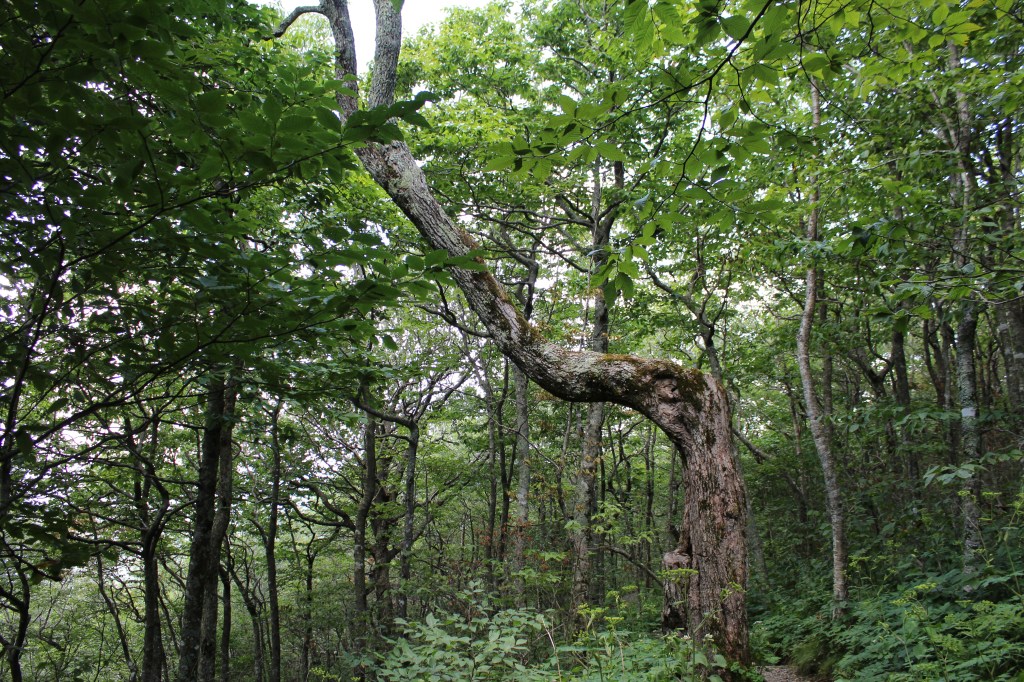
The next day’s hike was much more enjoyable. I drove through the wonderfully named town of Meat Camp to reach Elk Knob State Park, where I hiked the Summit Trail. Despite its name, Summit Trail is a much easier hike than Glen Burney. Summit Trail had reasonable grades and good footing throughout, and no garbage. I might even go so far as to say that it was one of the more pristine hikes I’ve done. As a side note, the famous frontiersman Daniel Boone used to camp in this area during the autumn. Here, he and some fellow mountain folk hunted deer and/or elk until they accumulated enough meat to last them through the winter. Hence the name, Meat Camp. Now, enjoy some of the scenery of North Carolina’s Elk Knob State Park:

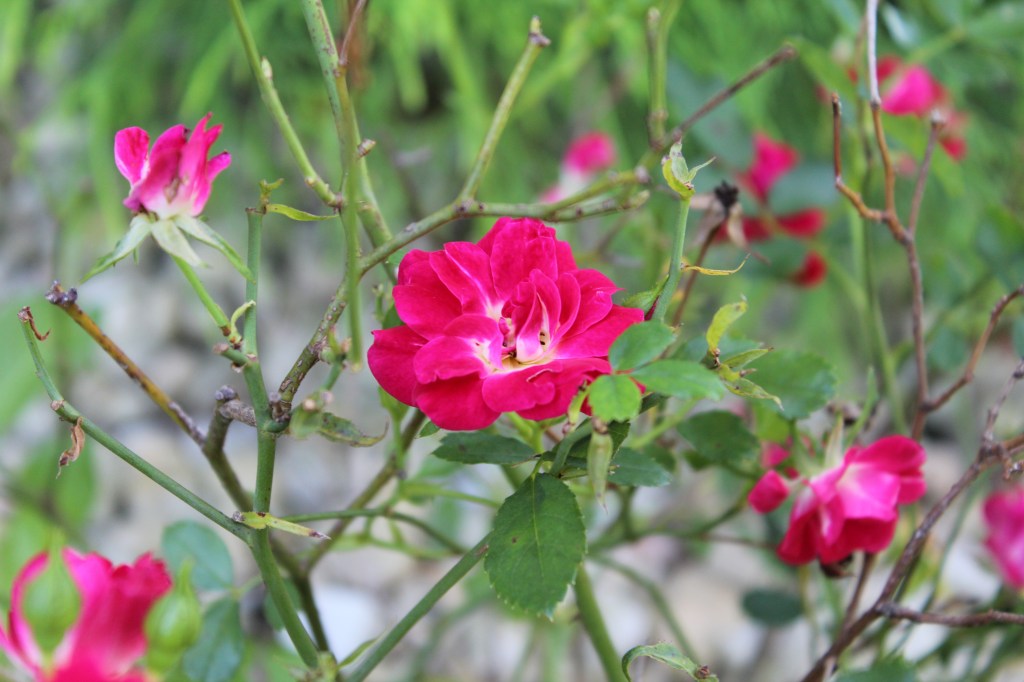
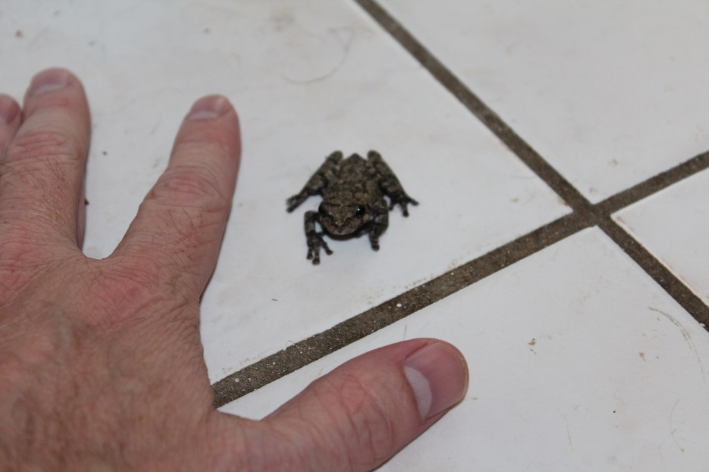
Next, we return to the house I was renting in south Charlotte. I decided one September morning to take a few more pics in my garden. While I was in the front yard with the camera, Tiny Tree Frog sneaked in through the back yard…
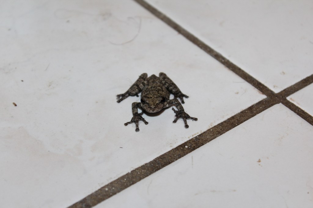
Just how tiny is Tiny Tree Frog?
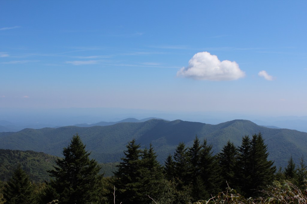
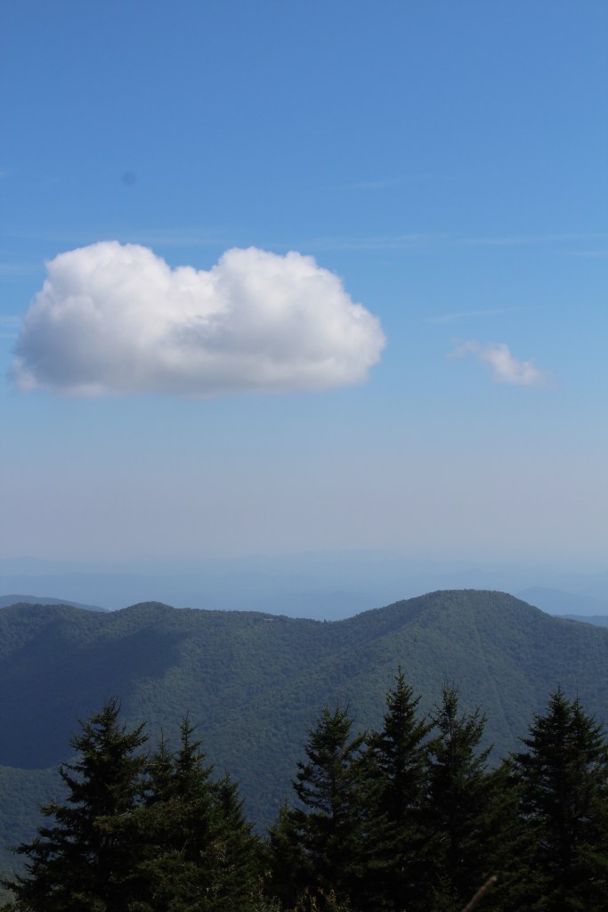
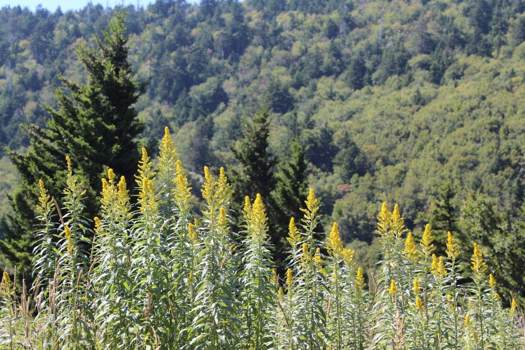
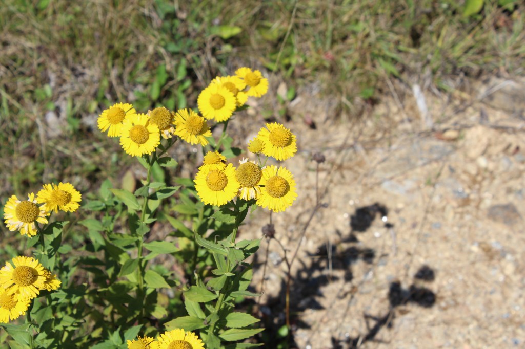
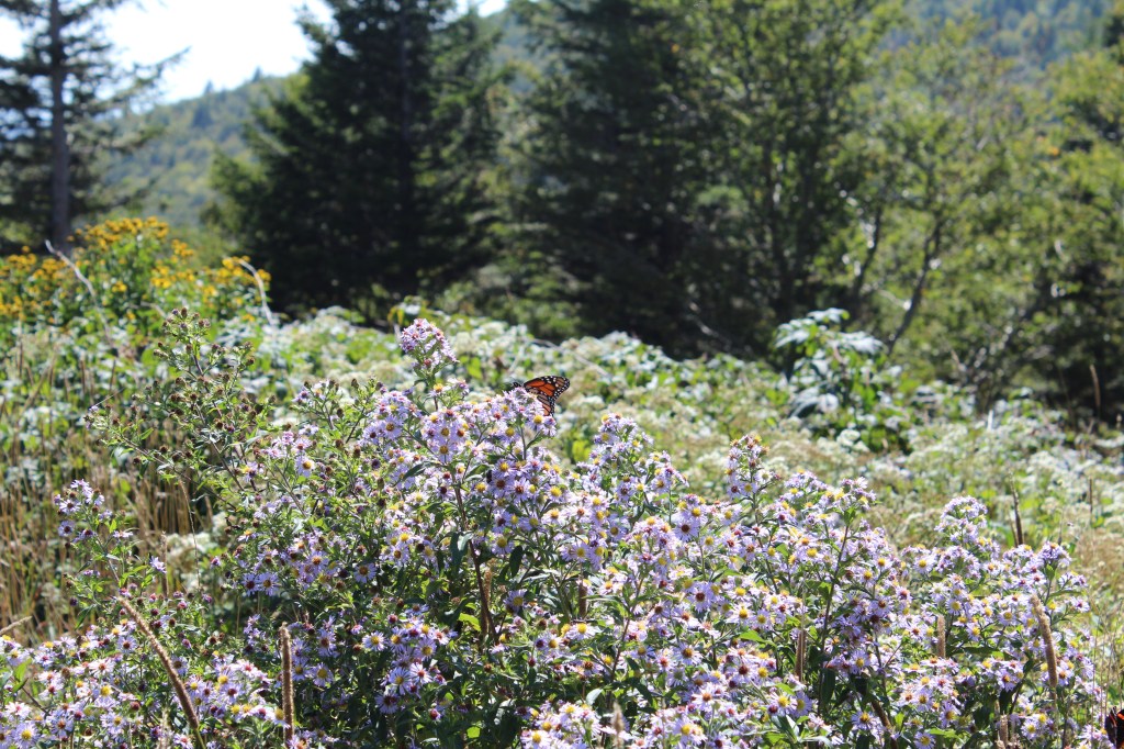
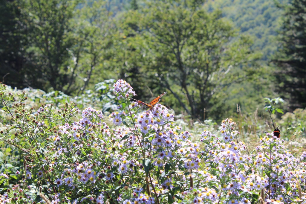
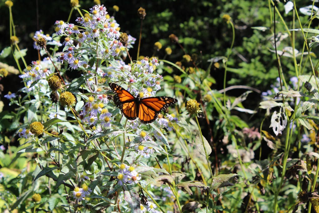
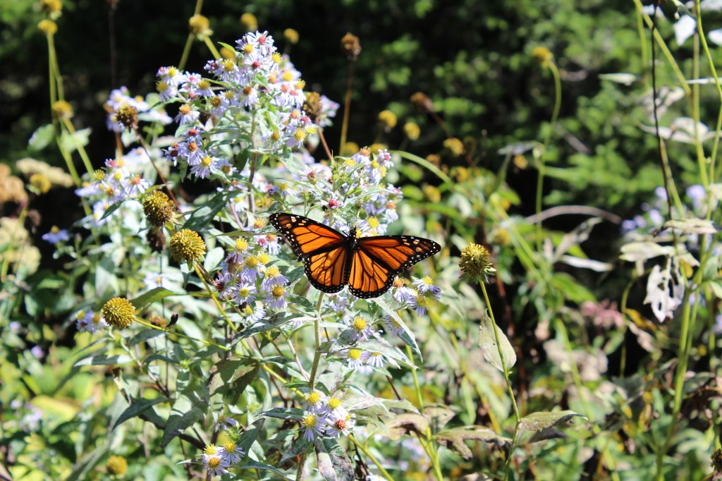
A few weeks after the visit from Tiny Tree Frog, I drove up to Mount Mitchell to hike the Commissary Trail. This trail sits atop the grade of a short portion of the Mount Mitchell Railroad which operated from 1913 to 1921. This railroad started off as a lumber hauler, but quickly became a tourist attraction. Yet the times they were a-changin’ their undies, and by 1922 the rails were gone, and this route had been converted to a toll road for automobiles. And so it remained until 1940, when the Blue Ridge Parkway (BuRP) provided a free alternative to the toll road.
I had hoped that there would be a lot of good scenery along such a trail. I was wrong. As you will see, there is some nice scenery at the beginning of the route (from where I parked at the trail’s upper end), but the vegetation along the trail is tall and dense enough to block any long-distance views. But I did get some decent pics of a monarch butterfly. Check all dis out:
And now, folks, the hodgepodge is done. The next ThrowBack Thursday post will cover my first ever visit to the North Carolina coast. Now I think I’ll go have some toast. Or maybe I’ll boil a roast. Or roast a boil.
