
Day 4:
Having visited the Wyoming Territorial Prison Museum (outside Laramie) just two days before, I moved on to the Wyoming Frontier Prison museum in Rawlins. As I’ve said before, I don’t generally take photos inside museums, and this was no exception. But I had to get a few external shots of the main building. Imagine calling this place your home!
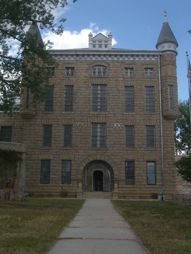
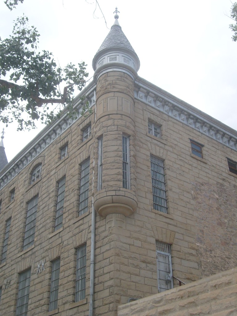
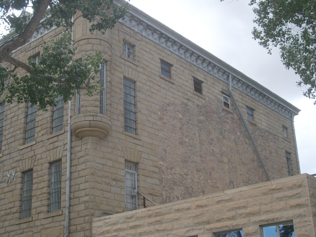
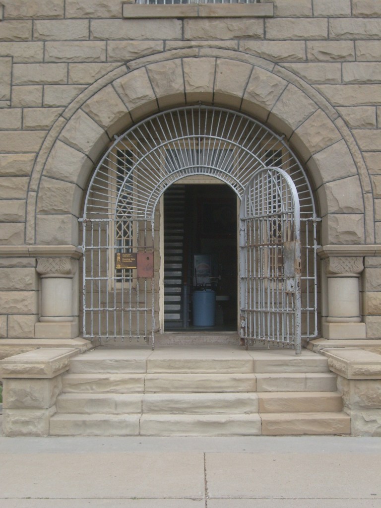
Unlike the museum in Laramie, if you want to see the inside of the prison here, you must take a guided tour. There are a couple rooms with exhibits that you can browse on your own before/after your tour, but there’s not an option to wander around the prison buildings unescorted. I again ended up being the only one on the tour, so we went at my pace. Some basics for ya: This prison began operation in 1901 and continued to be Wyoming’s state penitentiary until the 1980’s. If you take the tour, you can stand on the trapdoor of the gallows and have a seat in the gas chamber, if you so desire. There was once a lynching inside this prison. There was an elderly woman in town who used to bake cookies and bring them to the prison for the inmates. She was murdered, and a suspect was brought into the penitentiary. That suspect started bragging about killing the old lady and it wasn’t long before he was lynched by his fellow inmates. Must have been decent cookies.
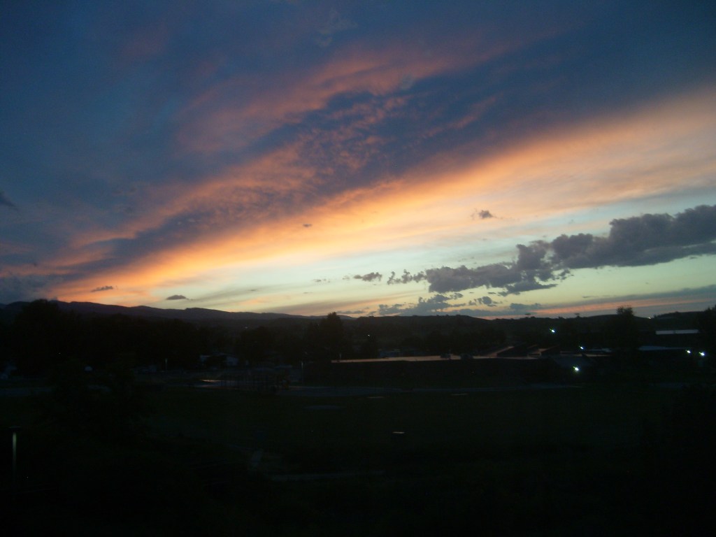
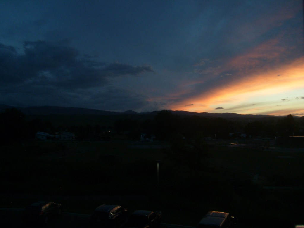
After leaving the prison, I drove across open sagebrush lands for nearly two hours. The high plains of central Wyoming are pretty featureless. Not surprisingly, I didn’t see anything I felt like stopping to photograph along the way. But I did get to see a nice sunset from my hotel room in Lander, Wyoming:
Day 5:
And on the 5th day, Cedric rested. And typed that sentence. And that one. Now that last one wasn’t a complete sentence, so we’re done here. And that one.
Day 6:
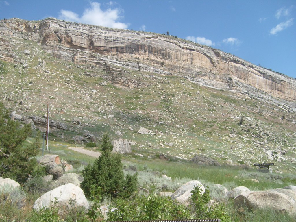
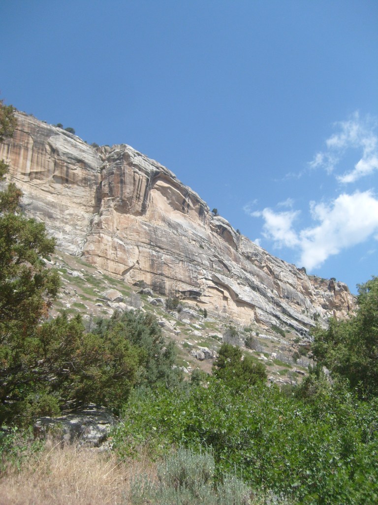
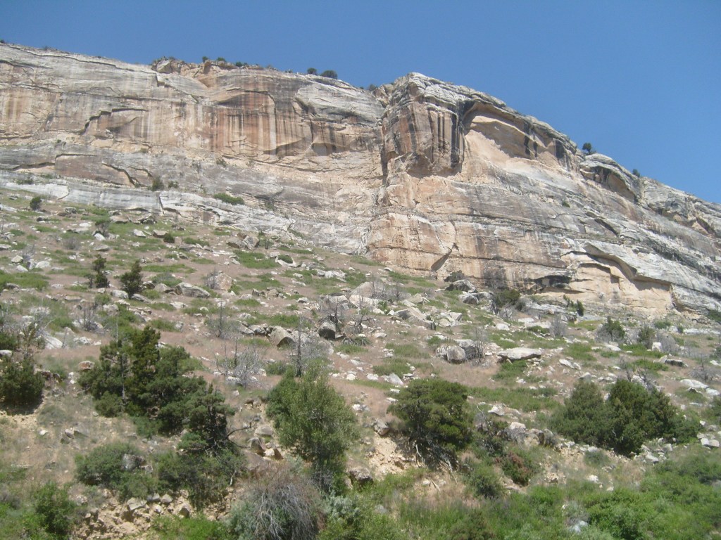
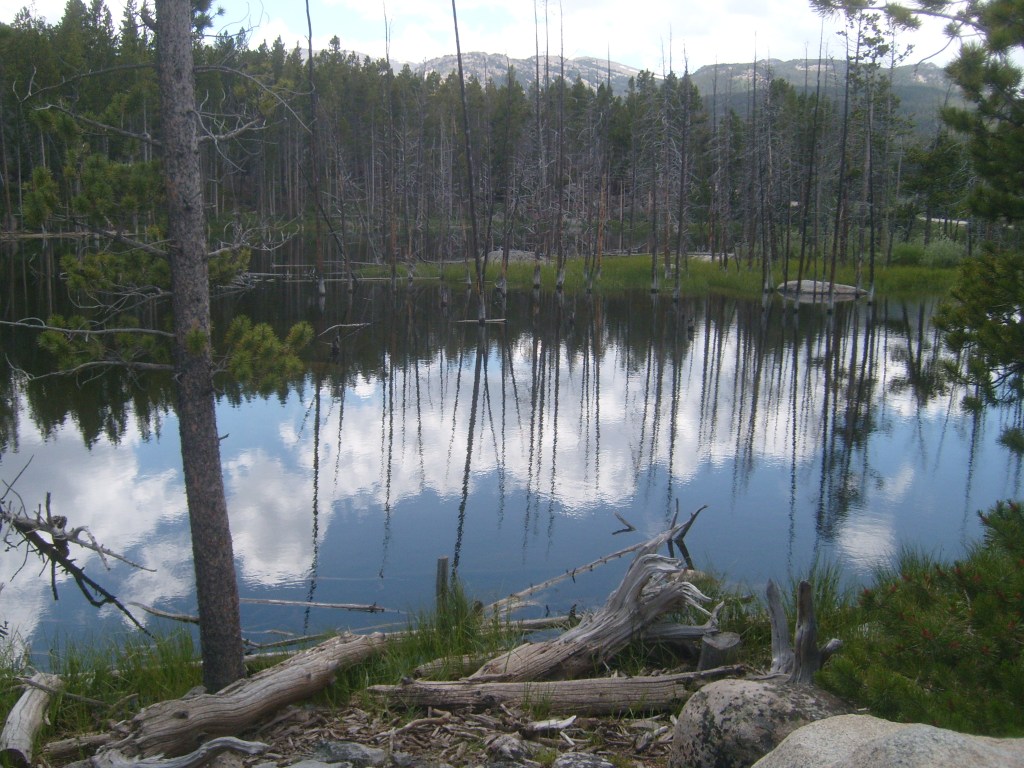
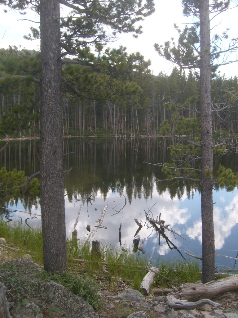
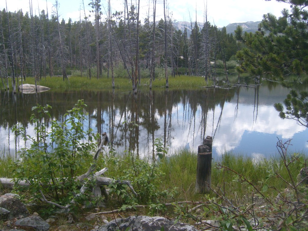
I allotted this entire day to Sinks Canyon State Park, though I knew nothing about the place apart from the fact it was recommended by the Geography King in his video on the best state park in each state. Had I done my research, I would have come prepared for a hike. But even without the hike, this place kept me entertained from mid-morning to late afternoon. Let’s start with the basics. The reason this place is called Sinks Canyon is because the river that carved the canyon sinks into the ground. I know that doesn’t sound like much; I’ve walked along tiny streams that spread out and sink into the ground when they reach a patch of sand, then trickle back to the surface when the underground water runs into solid rock. It’s not a big deal. This is different. This is a full-on river, not some tiny stream. And the water doesn’t just soak into the ground, it cascades directly into the mouth of a cave. Perhaps these photos will help you to appreciate the place:
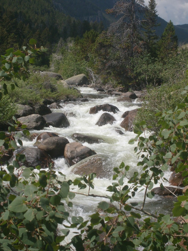
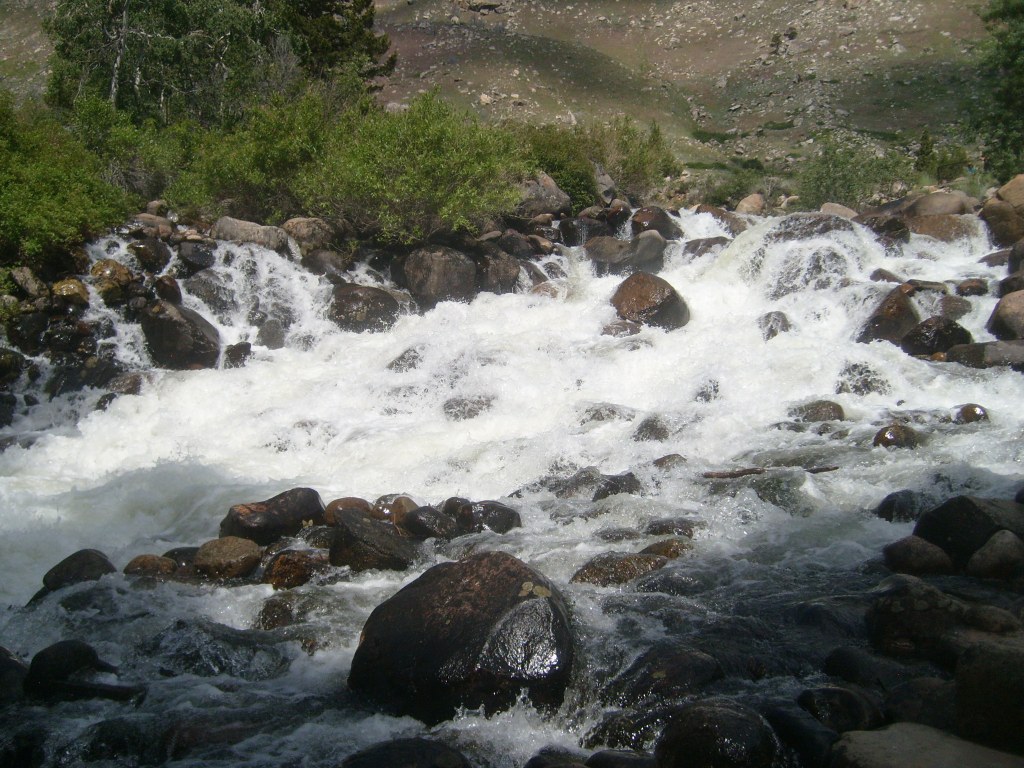
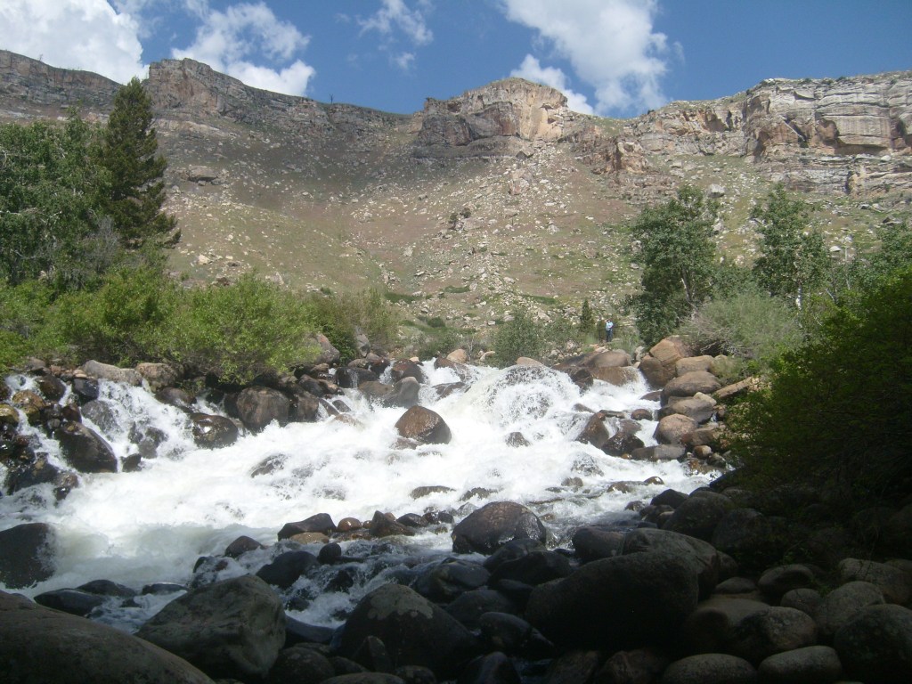
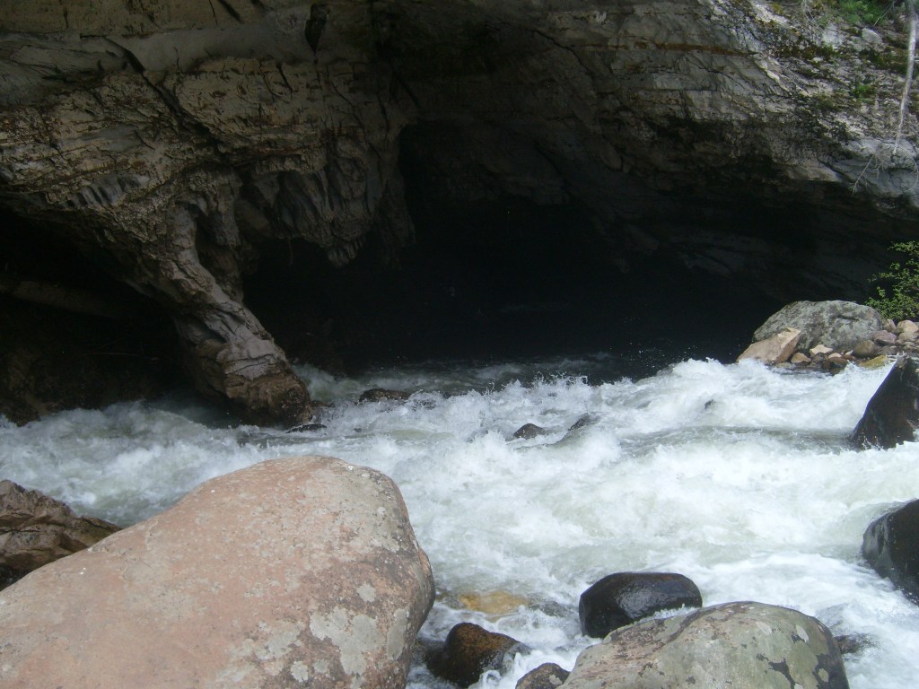
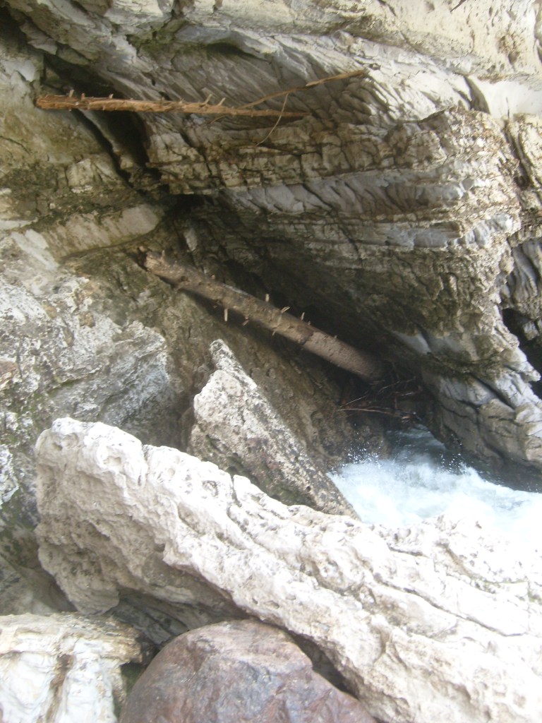

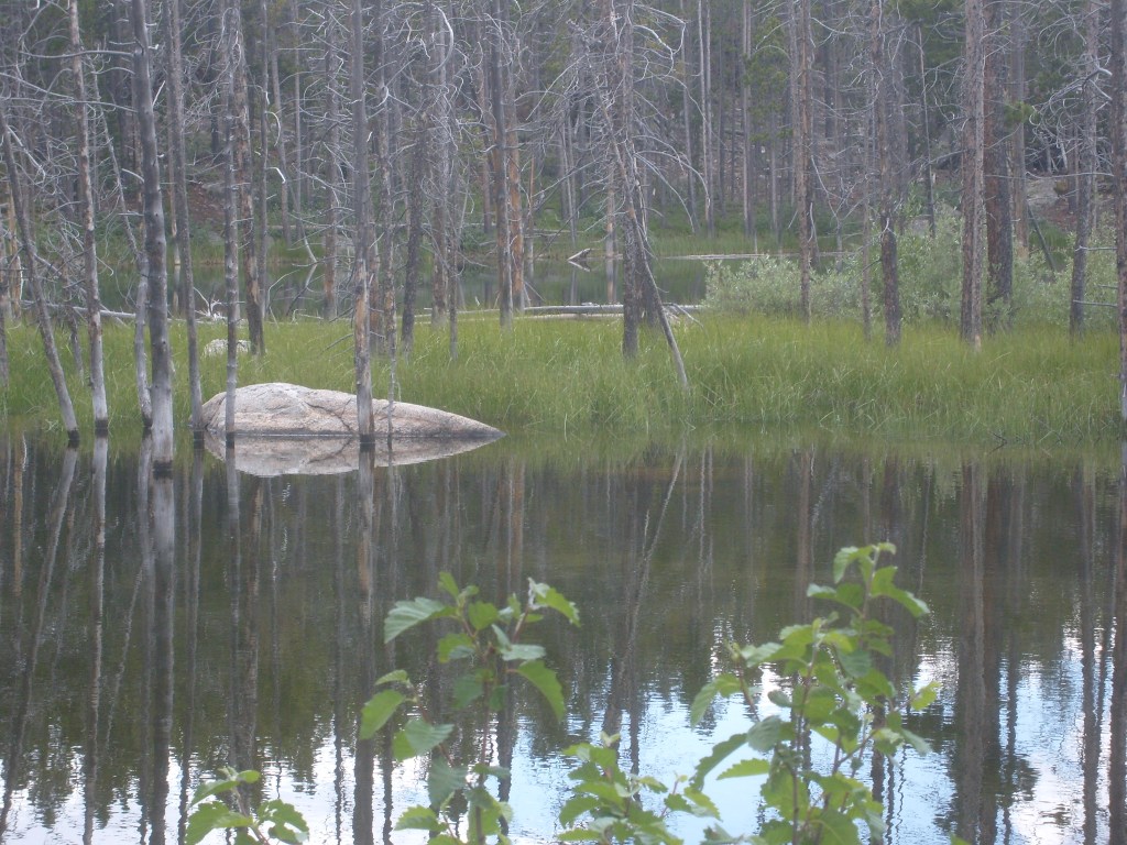
To me the most interesting thing about the Sinks is that the river makes a 270-degree turn immediately after entering the cave. In other words, the river circles back under itself, like the Georgetown Loop! So, where does the water go after it sinks? It makes it way to a massive spring called “Rise of the Sinks” just a quarter of a mile away. I did, too, and I grabbed a few shots of the canyon along the way:
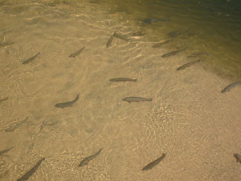
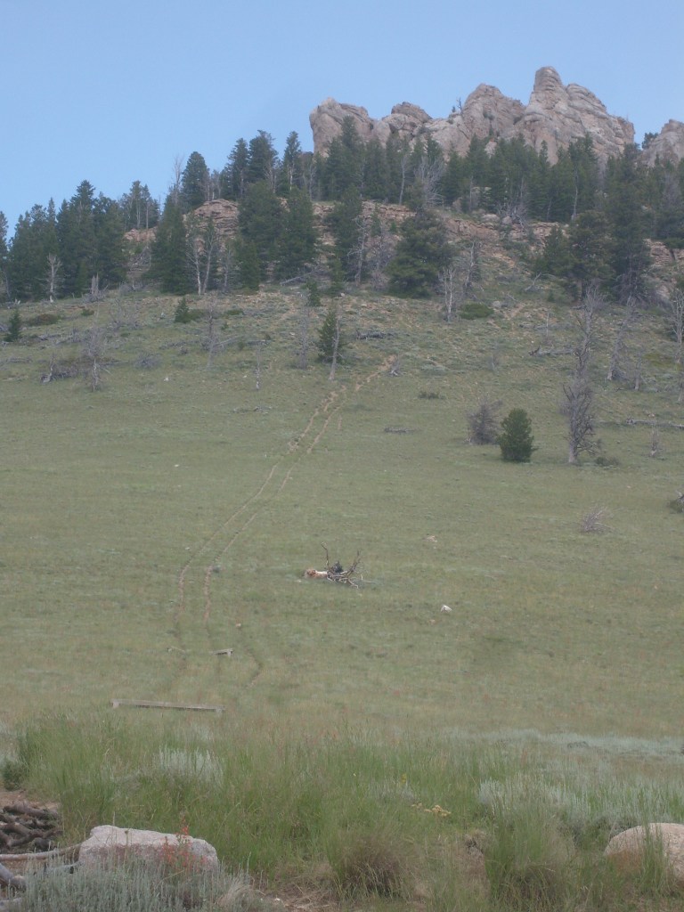
Unlike the upper end, where you can walk into the cave and wade through the river, the general public is not permitted direct access to the Rise of the Sinks. Instead they’ve built an overlook that you can walk out onto. The area surrounding the Sinks is crowded with my favorite bird species: black-billed magpies (Pica pica). But the fact that they’re my favorite bird doesn’t mean I’m their favorite photographer. As usual, they did not cooperate with me, so I got no pictures of them. I did get some good aerial shots of FISHIES! Y’see, the Rise of the Sinks is as far upstream as trout can swim. Plus, they have those fish food “gumball machines” so the fish get fed. So, when you look down from the overlook at the crystal-clear water below (apparently the cave system filters the water very effectively), you can see a school of Big Ol’ Trout lookin’ back up at you…just waitin’ for you throw down some food. See them now:


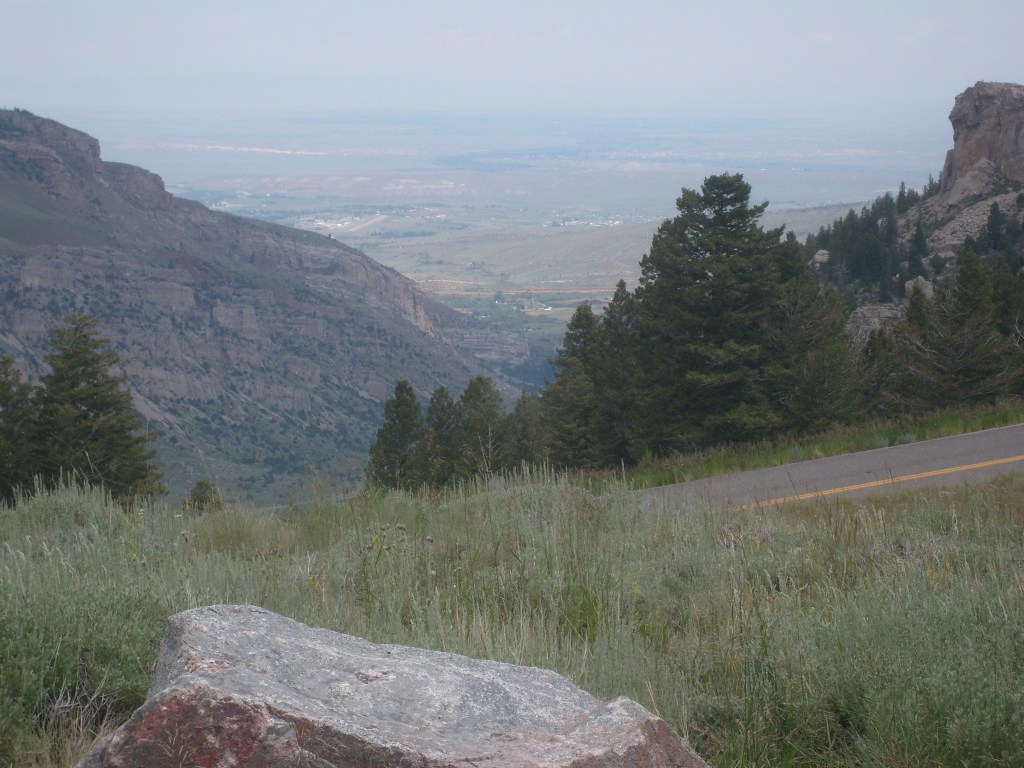
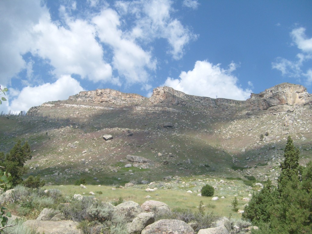
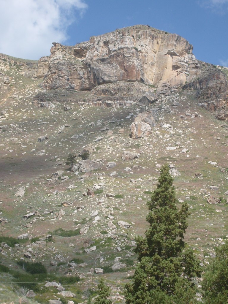
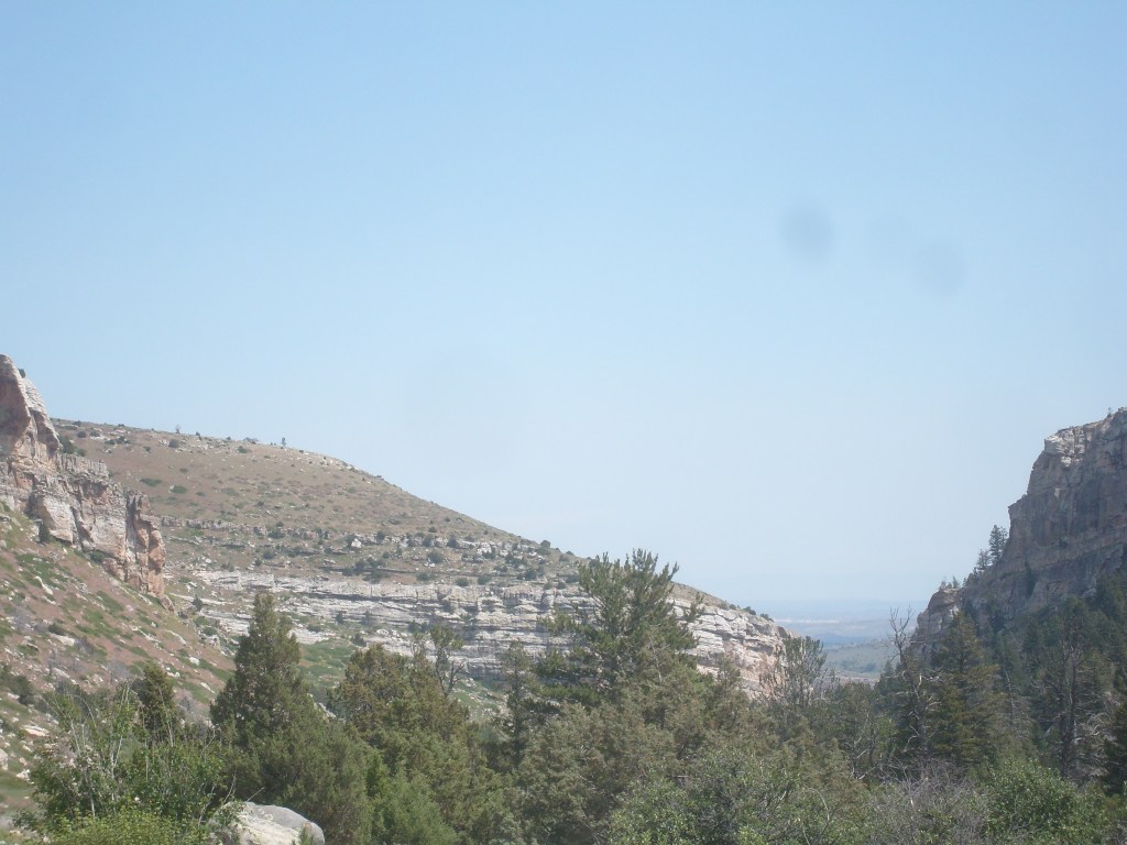
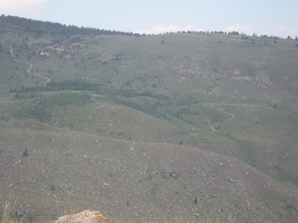
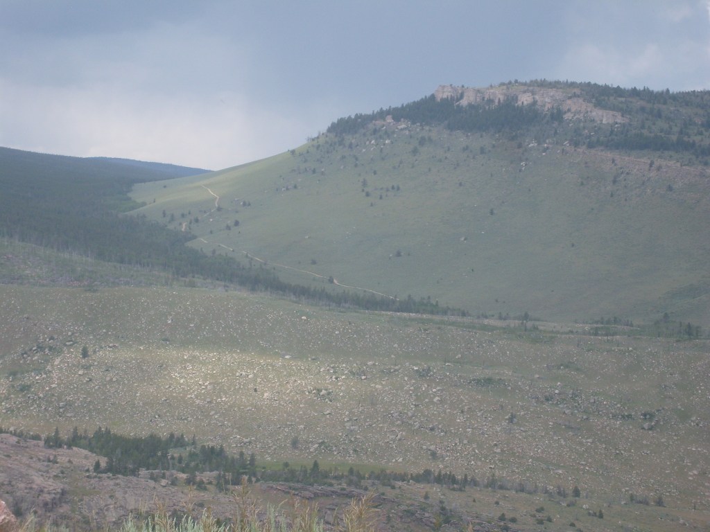
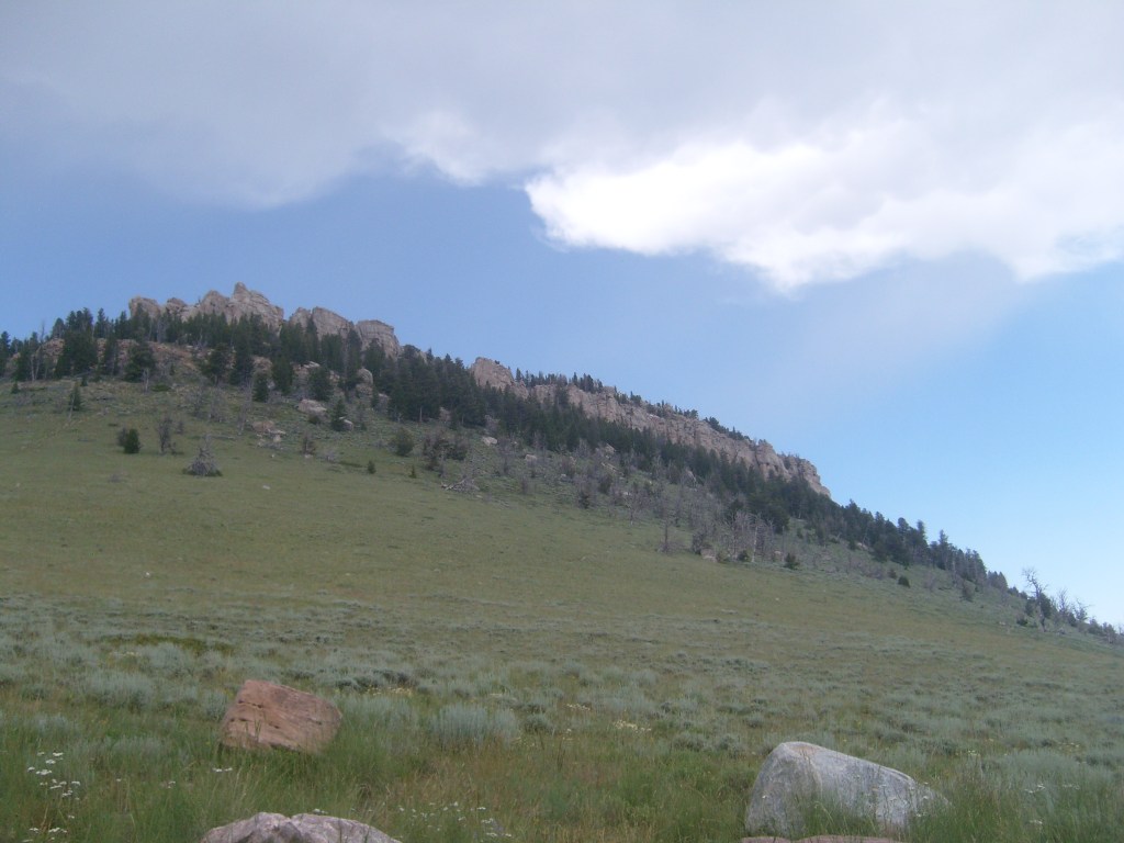
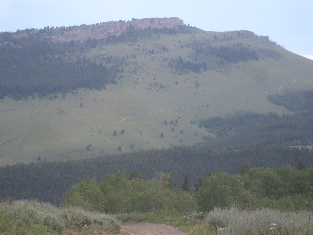
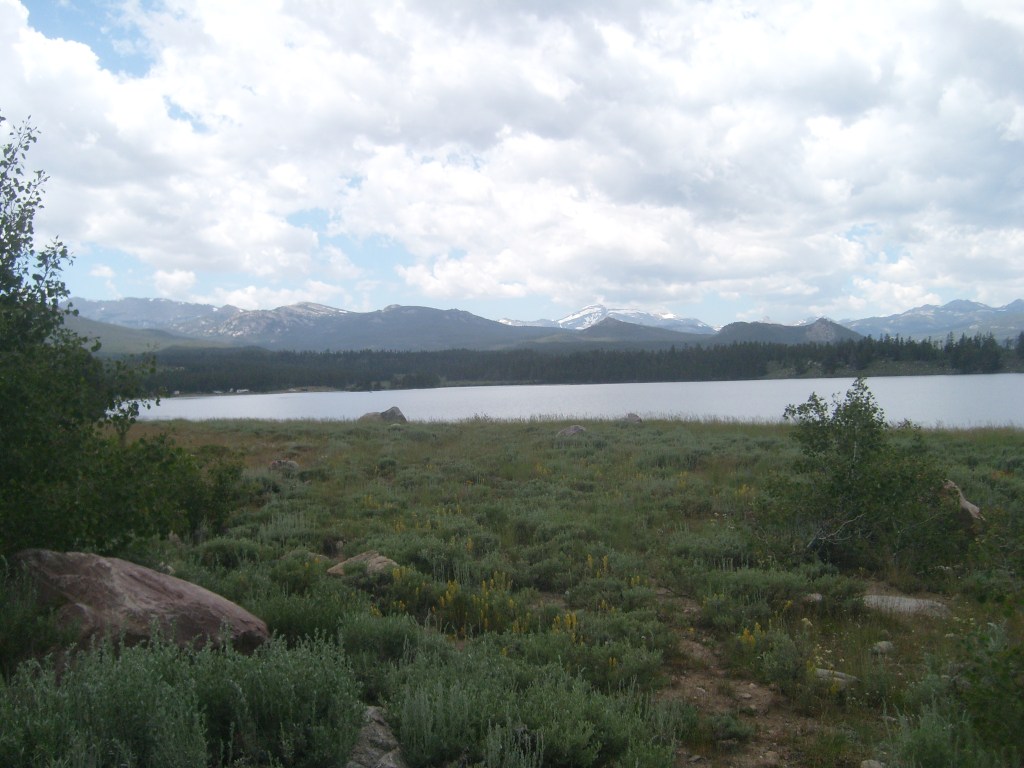
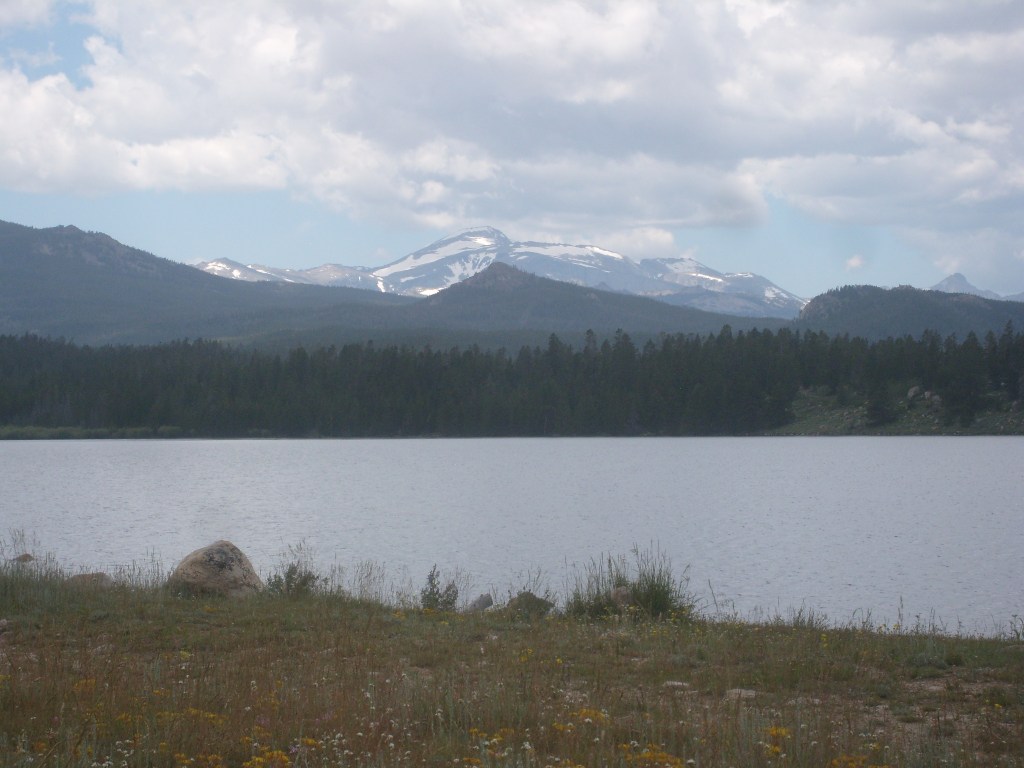
Don’t go away now, folks! There’s still plenty more to see. Drive just three miles up the canyon, and the road does a U-turn, then scales a mountainside through a series of switchbacks. This brings you up approximately 2,000 vertical feet (from an elevation of 6,400 feet to 8,400 feet. The air is much cooler up here, and the scenery is completely different. See for yourself:


That wraps it up for Day 6. Make sure you come back for Day 7 – I made my way through not one, not two, but three completely different and gorgeous areas. One of them is probably the most amazing and unusual landscape I’ve ever seen! Don’t miss it!
