
(cont’d from part 1)
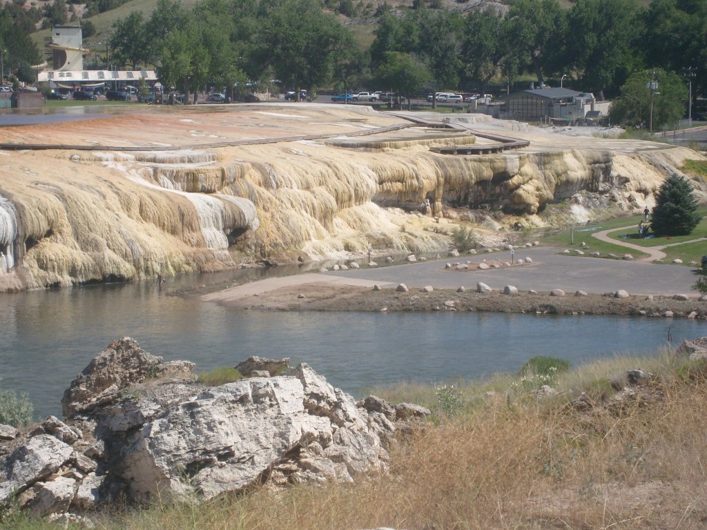
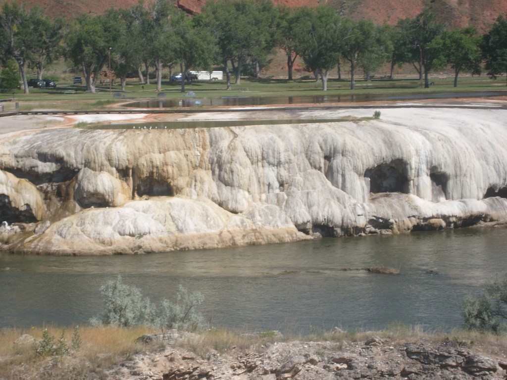
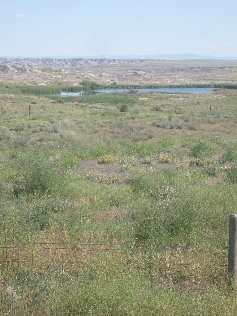
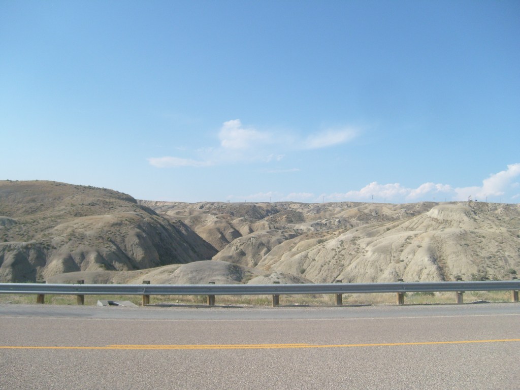
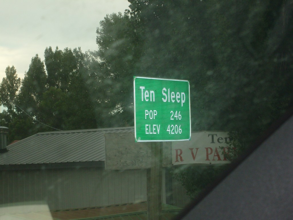
As I left Wind River Canyon, I glanced at my rental car’s external air temperature display – it was 98 degrees Fahrenheit. I continued north into the town of Thermopolis, where I found a comfortably air-conditioned bar and grill where I had some lunch. My next stop was to be the town of Ten Sleep. Why? Because I wanted to watch ten people sleepin’ and because it was along one possible route to my next overnight stop (in Casper, Wyoming). As I started out of Thermopolis, I encountered the local hot springs and associated mineral deposits. There’s a scenic overlook at the edge of town, where you can look down on this:
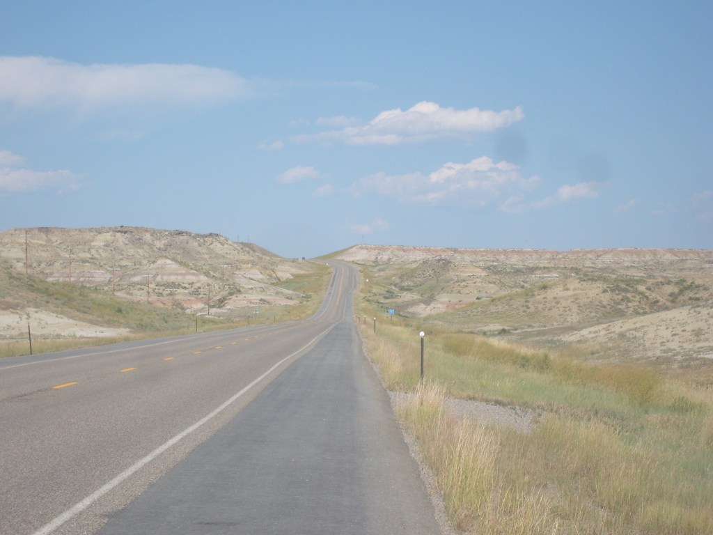
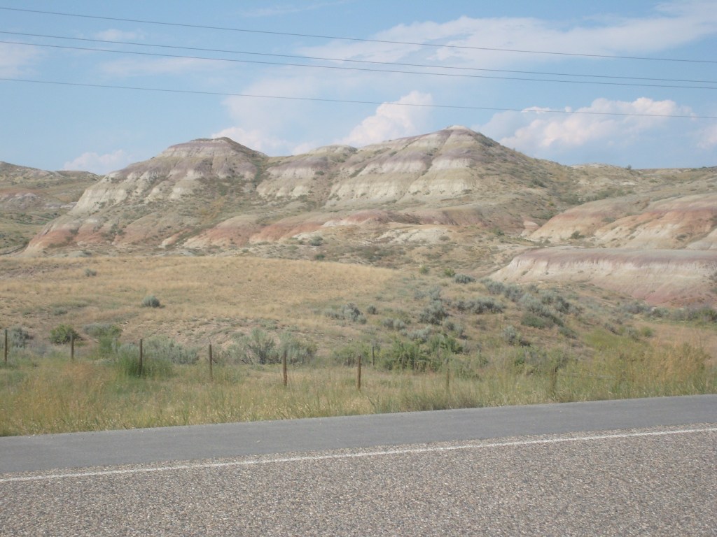
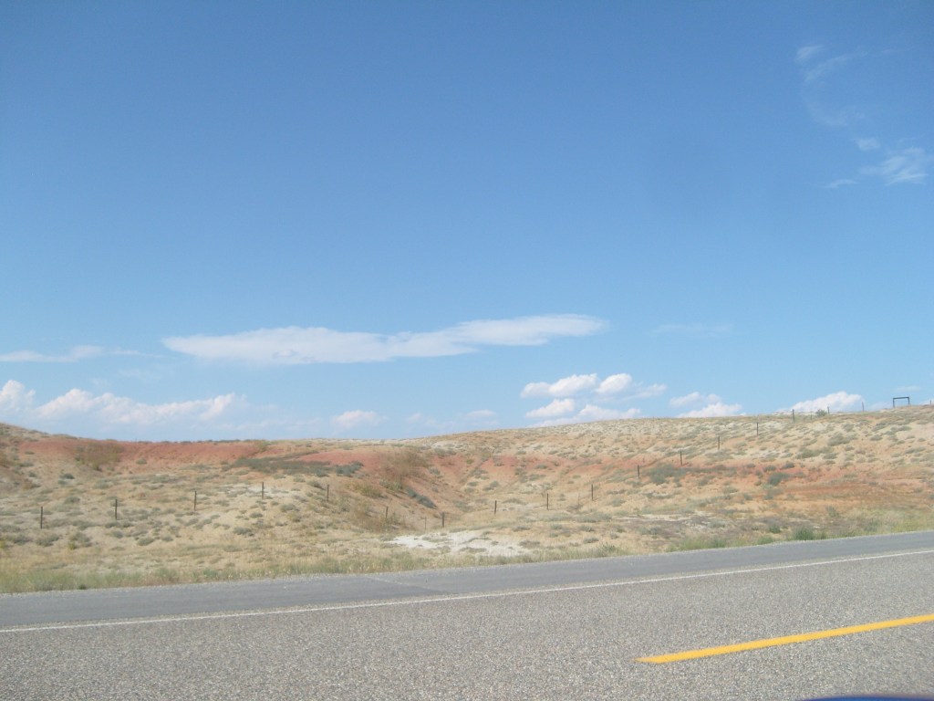
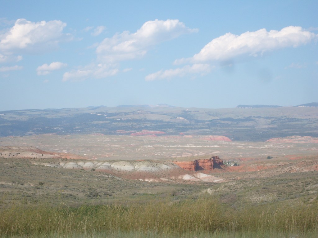
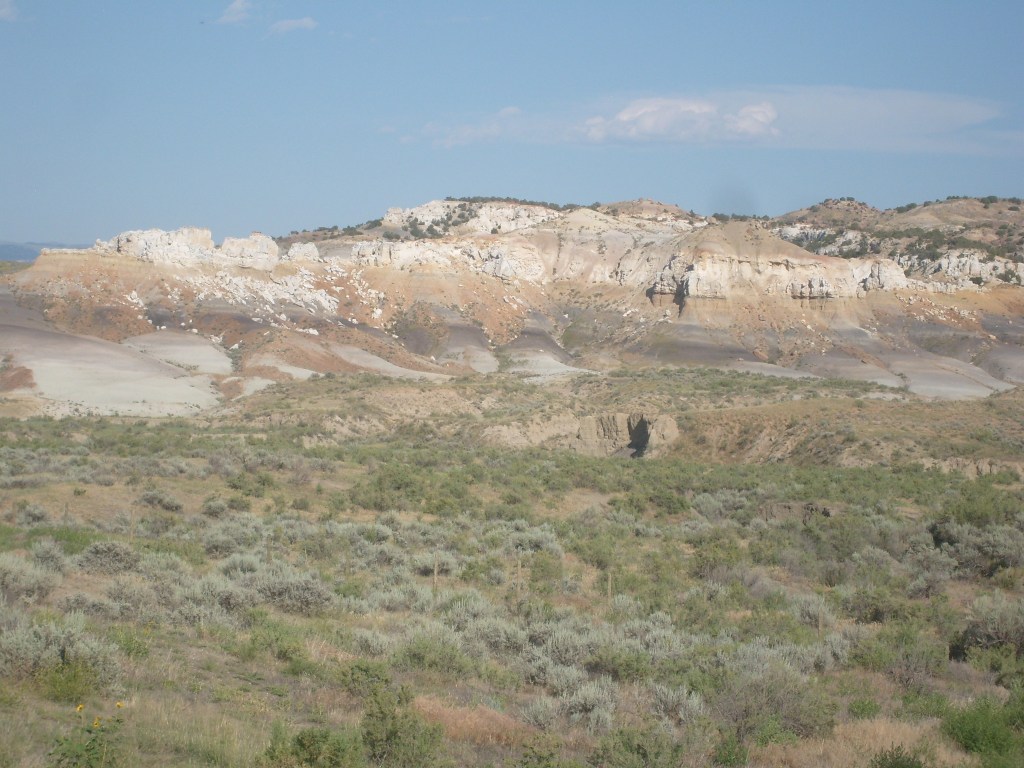
For the first few miles out of Thermopolis, I thought I was in for more Hanna-Barbera scenery (the same background endlessly rolling by over and over again). But then, about five miles east of the town of Worland, everything changed. The landscape went from hay fields to intriguingly eroded and colorful land formations:
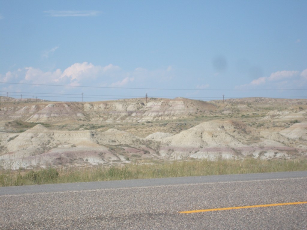

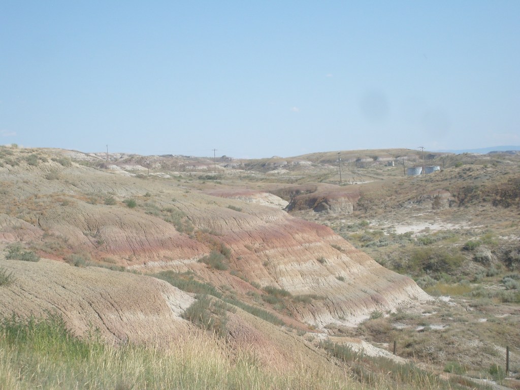


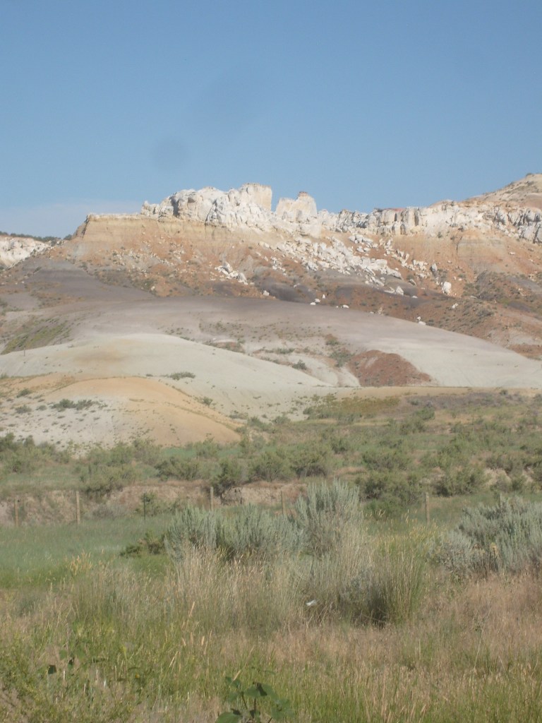
This landscape reminded me of the so -called “Paint Mines” on the Colorado plains. I remembered reading that the Paint Mines formation spreads across a large area, but erosion has exposed only small parts of it. I assumed that would be the case here, too. So, as I approached the top of the next ridge, I expected to once again be looking across a valley of hay fields and/or colorless sagebrush flats. Instead, I saw this:
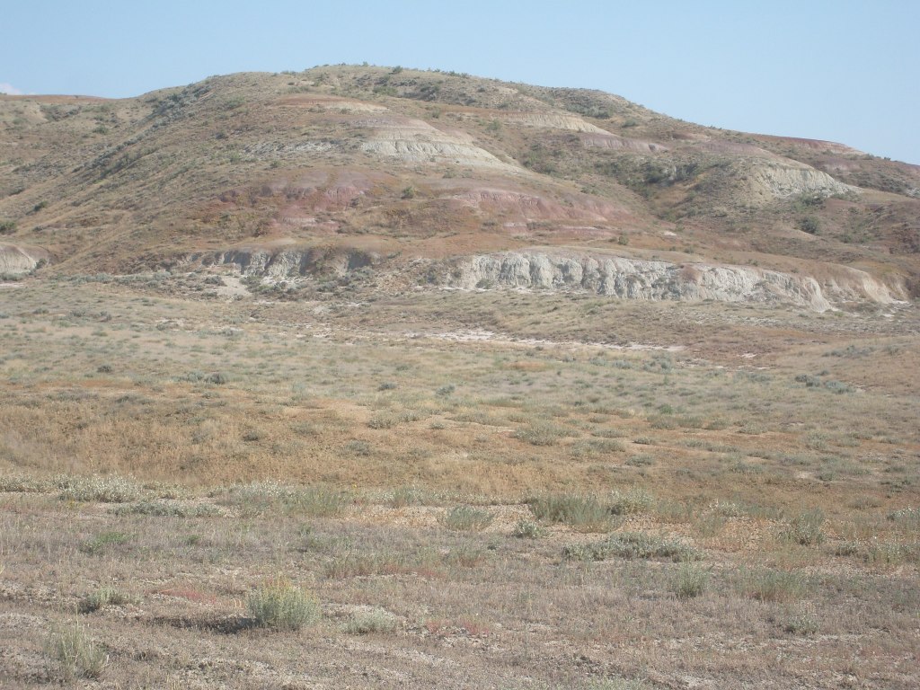
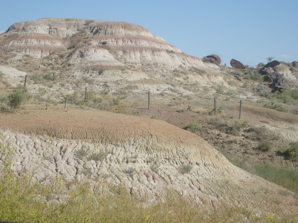
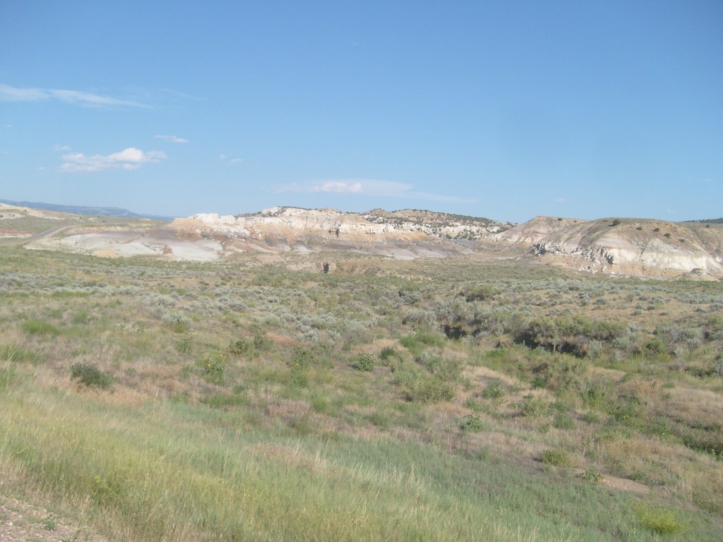
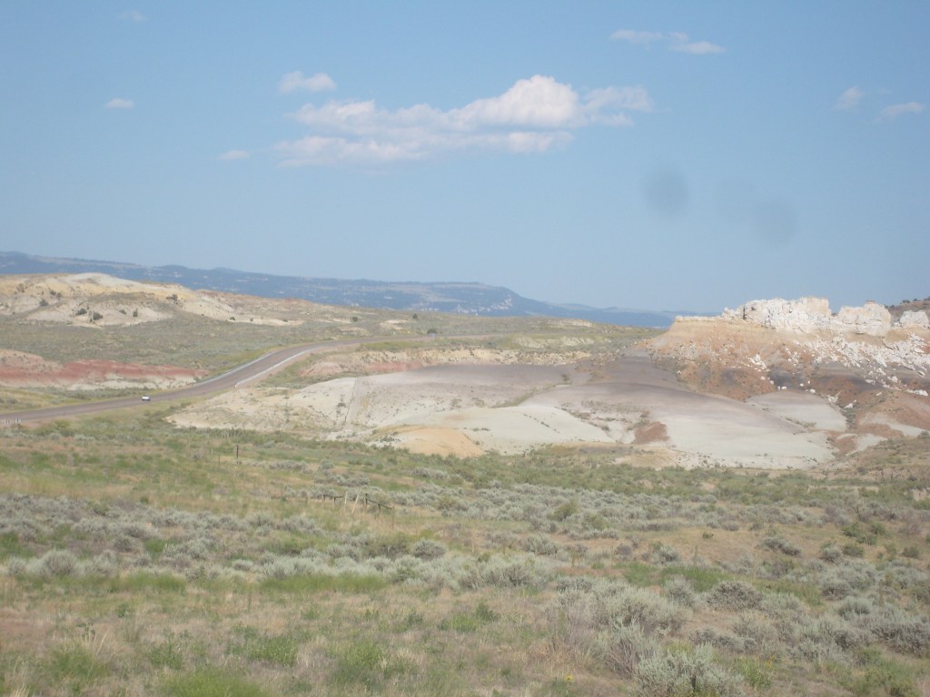
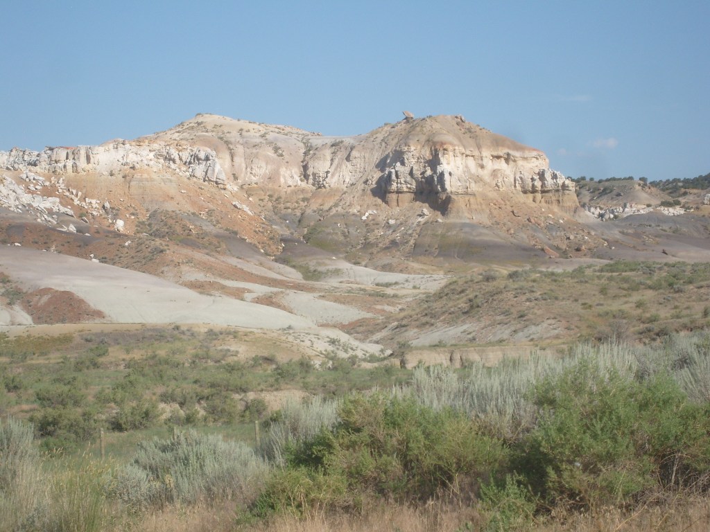
And so it continued, ridge to ridge, mile after mile, with each valley seemingly more beautiful than the one before it. Yet there were no signs or kiosks anywhere to tell me anything about this place. Thus, I don’t know if these amazing hills even have a name. If you can believe it (and even if you can’t), there wasn’t even a single scenic overlook; every time I wanted to stop and take some pics, I had to eyeball the side of the road until I found a spot with a substantial shoulder. So, I did, and shot these roadside gems:
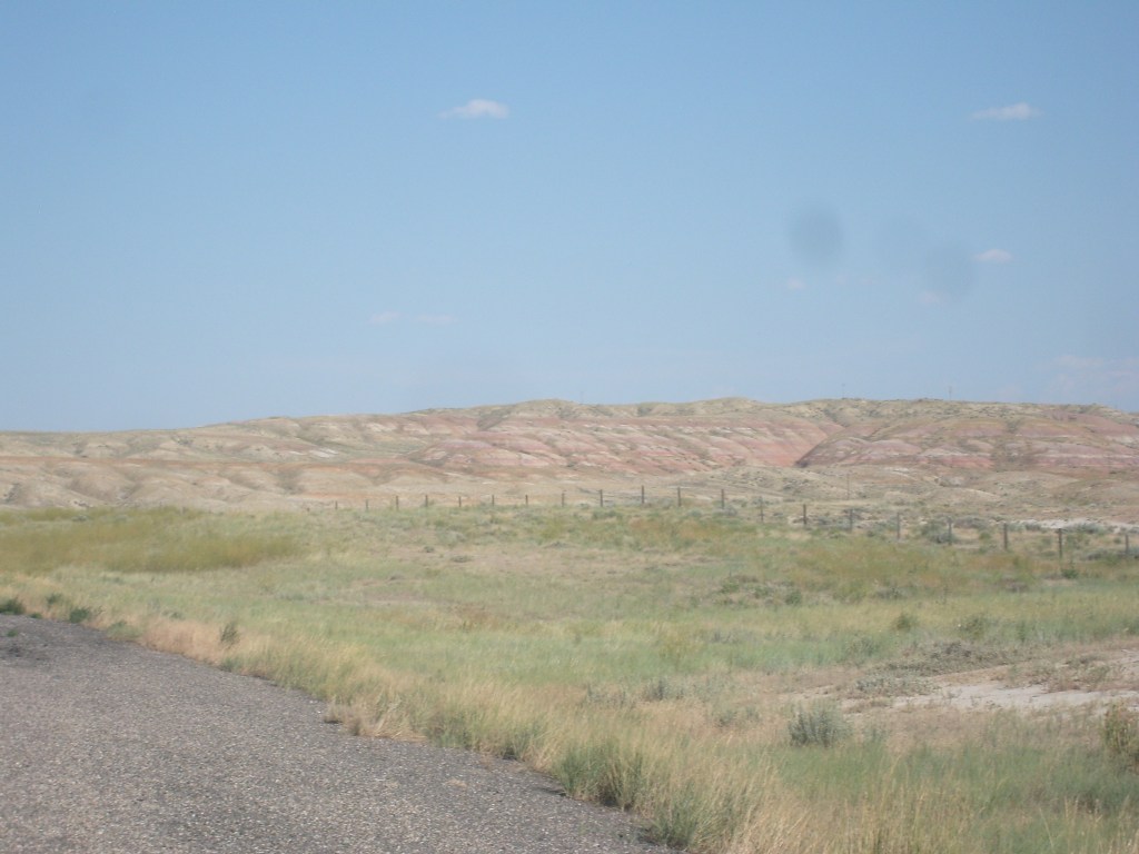


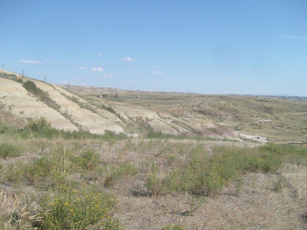
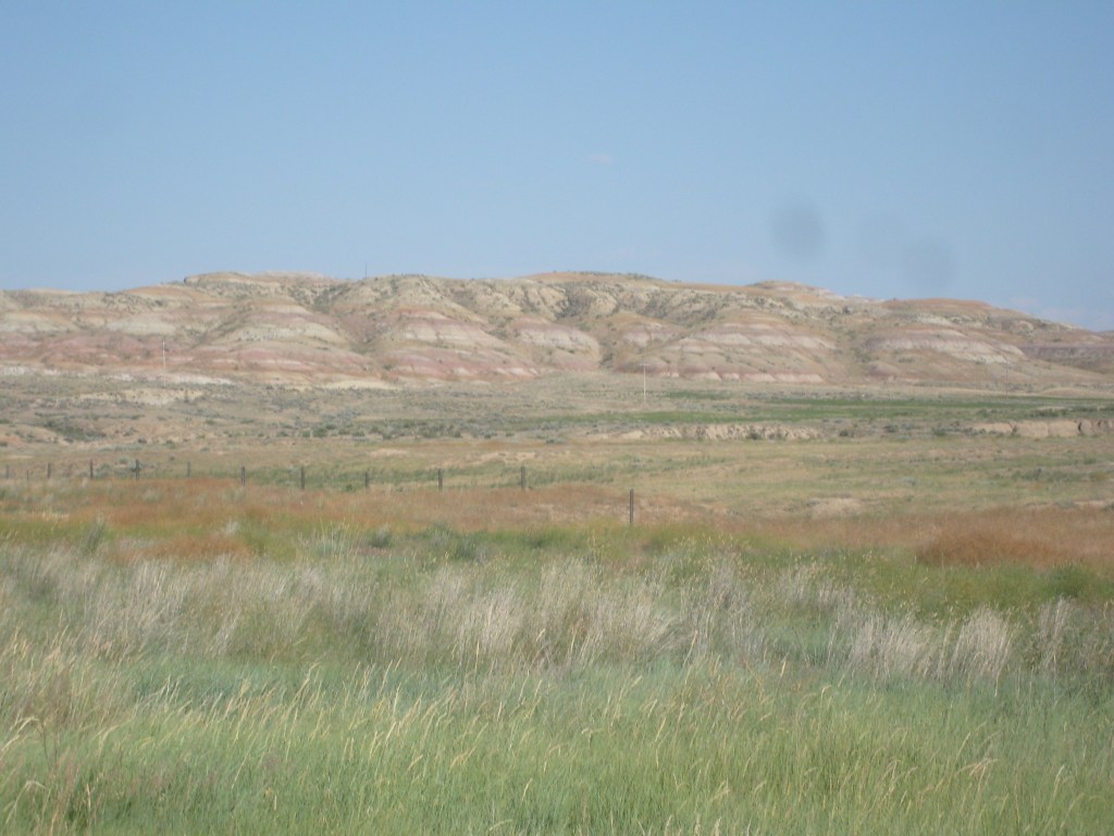
When I encountered this next valley and the formation that serves as its centerpiece, I became so enamored with these (apparently) unnamed hills, that I would have declared them to be my new favorite place on Earth, if it weren’t for the half dozen biting flies that came after me every time I stopped and got out of the car. But ignoring the flies, I think you’ll agree that what you are about to see was clearly intended to be these hills’ Grand Finale:

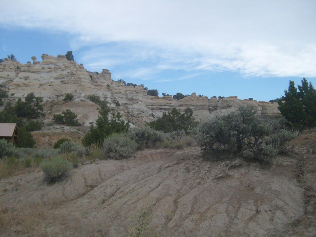
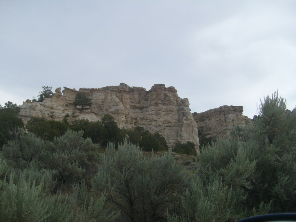
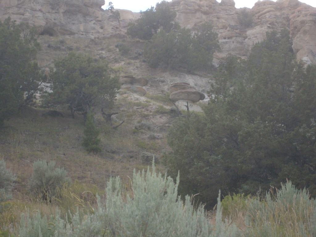
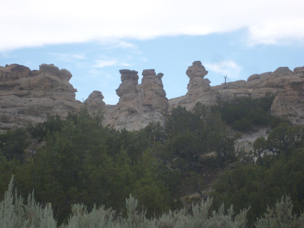
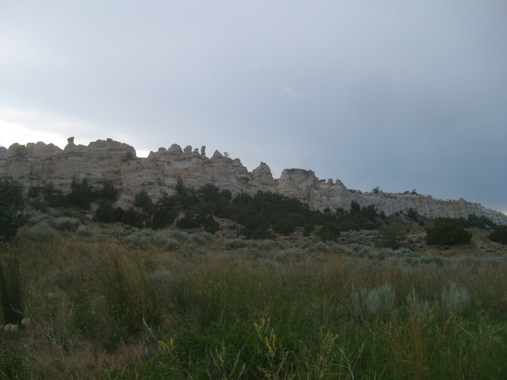
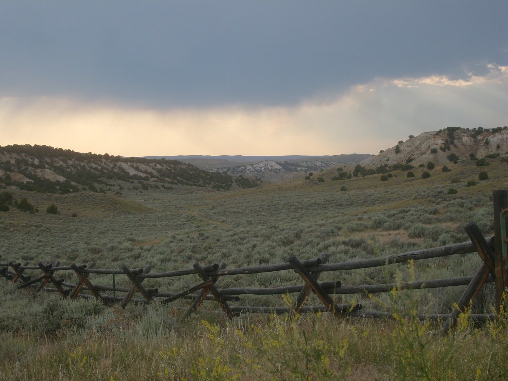
Shortly after taking the above pics, I saw a sign pointing to something called “Castle Gardens Recreation Area”. I asked myself, if the United States Bureau of Land Management (BLM) hasn’t seen fit to give a name to the glorious landscape I just witnessed, how amazing would something have to be to warrant BLM calling it Castle Gardens? I could only imagine. No! I could do more than imagine! I could turn onto that dirt road and go see for myself, DAMMIT!
For a BLM road, this thing was surprisingly well-maintained. I had no trouble at all driving my rented Dodge Challenger on this road. However, clouds were moving in, making it prematurely dark out there. That, combined with the fact that I still had a long way to go and now a short time to get there, led me to just snap a few quick pics without even getting out of the car.


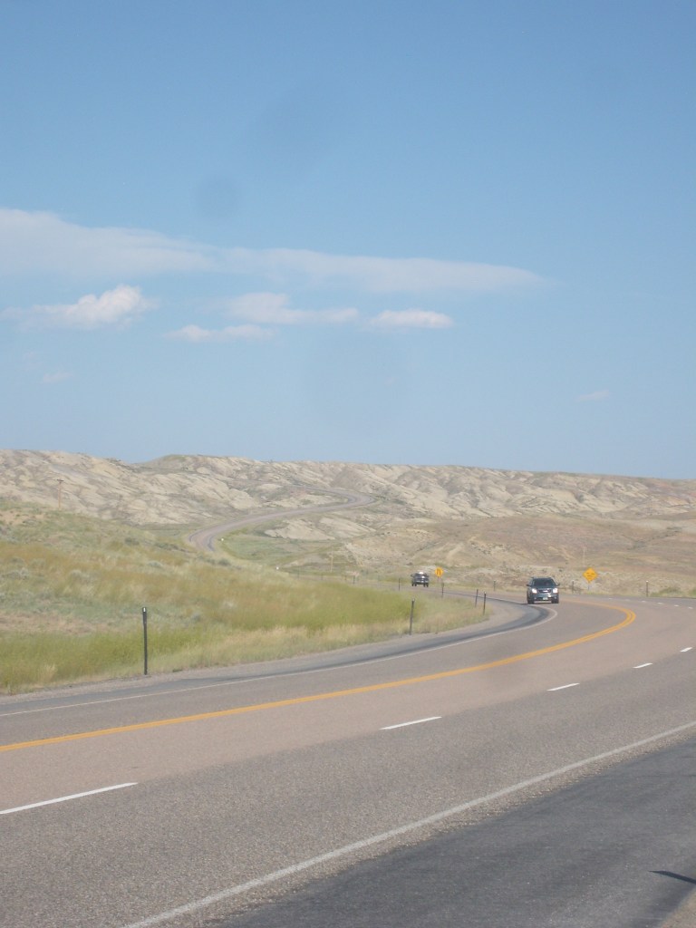
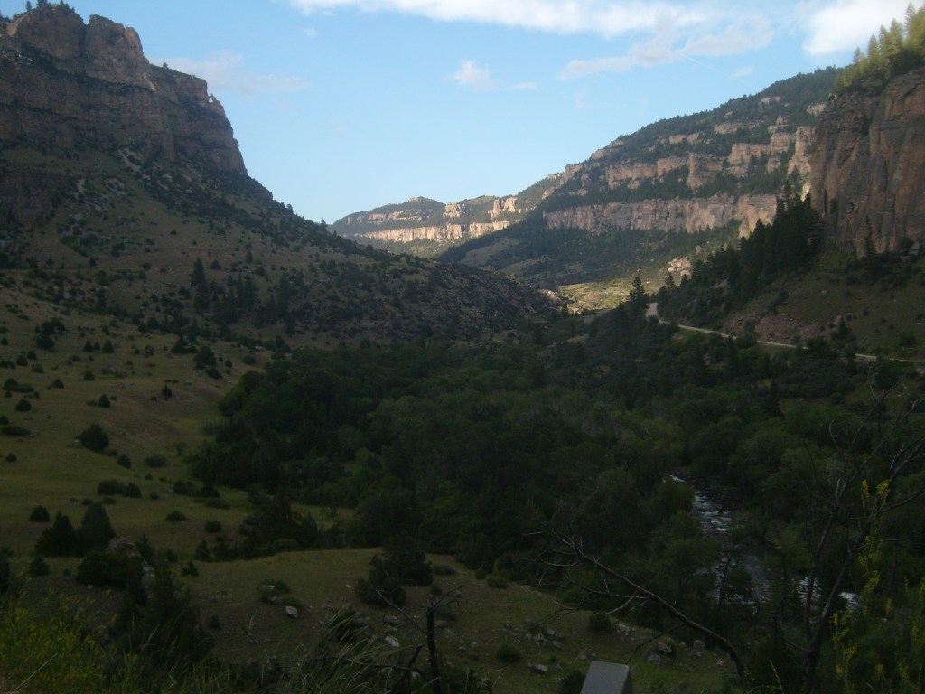
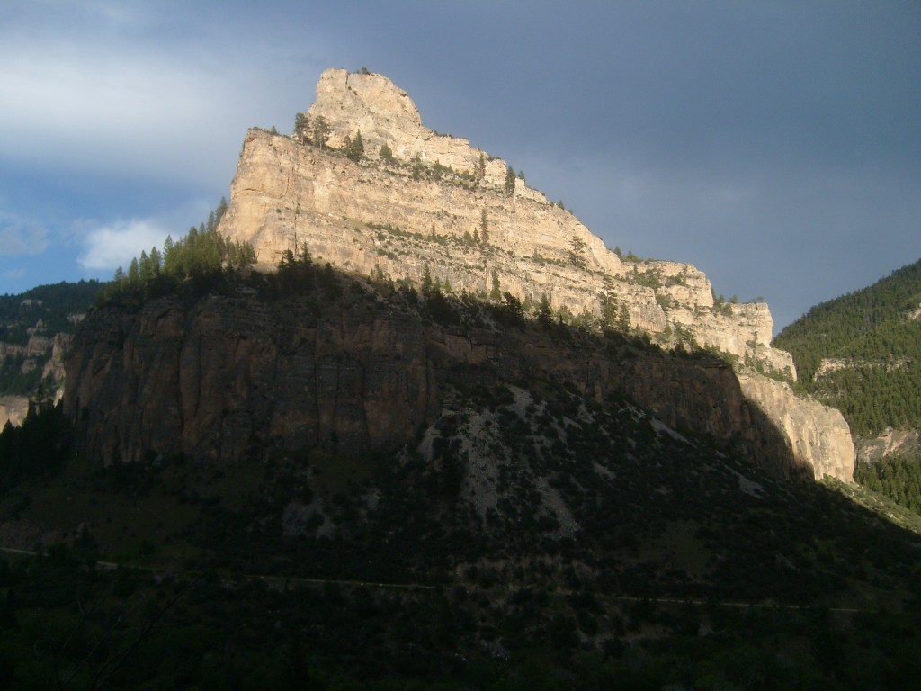
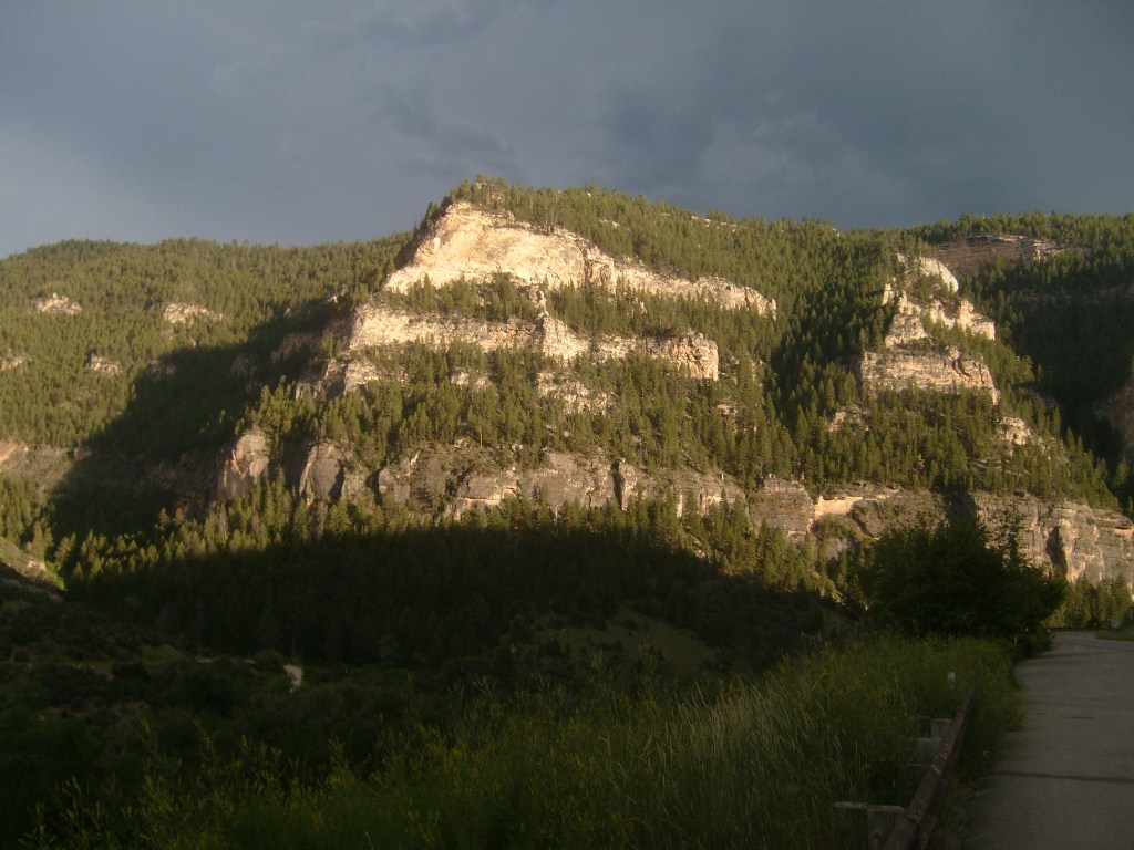
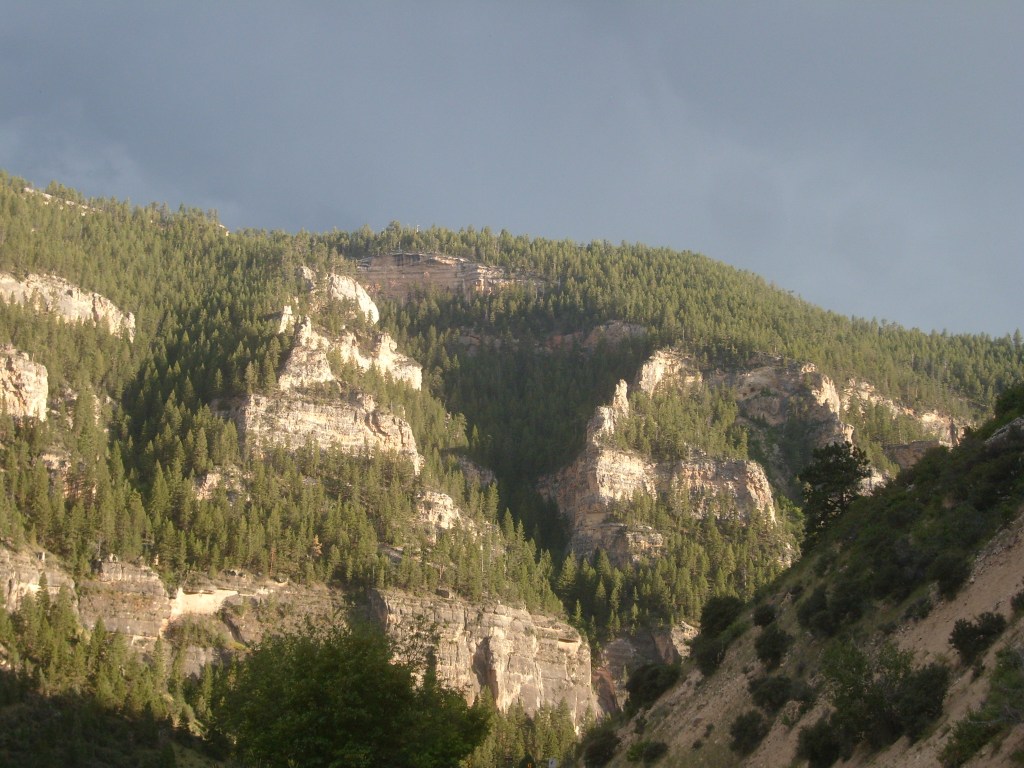
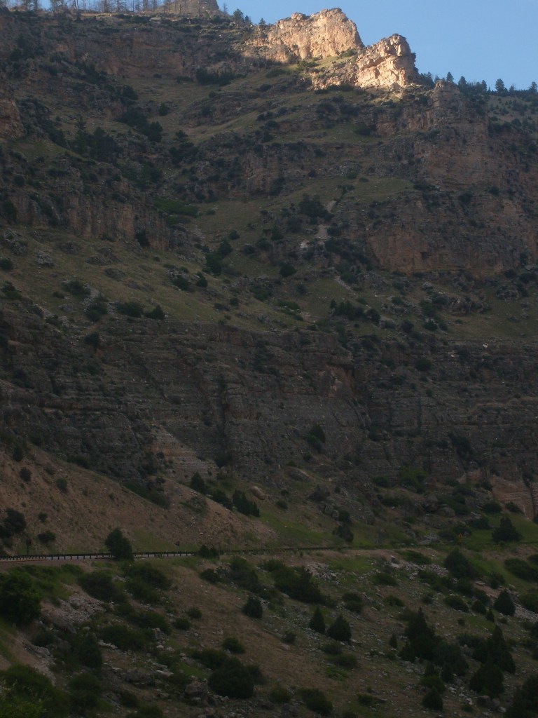
I made it back to the highway without incident, and continued through the town of Ten Sleep without stopping. So, I didn’t get to see the ten people sleeping, but I tuned my radio to the local A.M. station so I could at least hear the snoring. The clouds that had been shaking their fists at me at Castle Gardens were gone, so I made one last photographic stop for the day to capture the waning sunlight in the Bighorn Mountain range:
And so, Day 7 drew to a close…after about two hours of driving in the dark. And I do mean “dark”! It’s a LONG way between towns in some parts of the state – even right along Interstate 25. The next day was not dark. It was very bright and VERY hot. But I’ll leave that for my next post.
