
Hello, and welcome to the wonderful world of text! Not texting – nothing that new-fangled, no sirree! Just text. And pictures. Lots of pretty pictures.
As I’ve mentioned before, back when I lived in Colorado, I made regular trips to the Glenwood Springs area. This issue of ThrowBack Thursday covers one such trip, one that occurred in October 2012. This time, there are no photos from Glenwood Springs itself. Instead, I visited areas to the southeast of the city. Let’s start with a hike to Thomas Lakes. No, that’s not a typo; they’re forcing multiple lakes to share a name. Disregarding that travesty, let’s get hikin’…
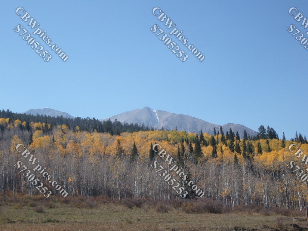
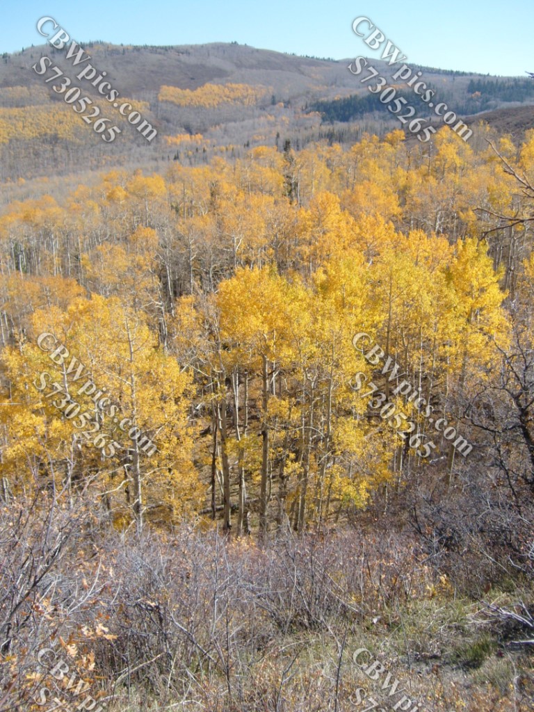
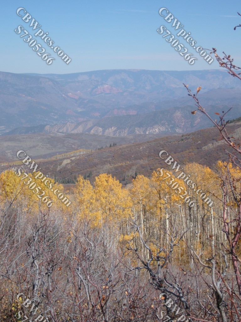
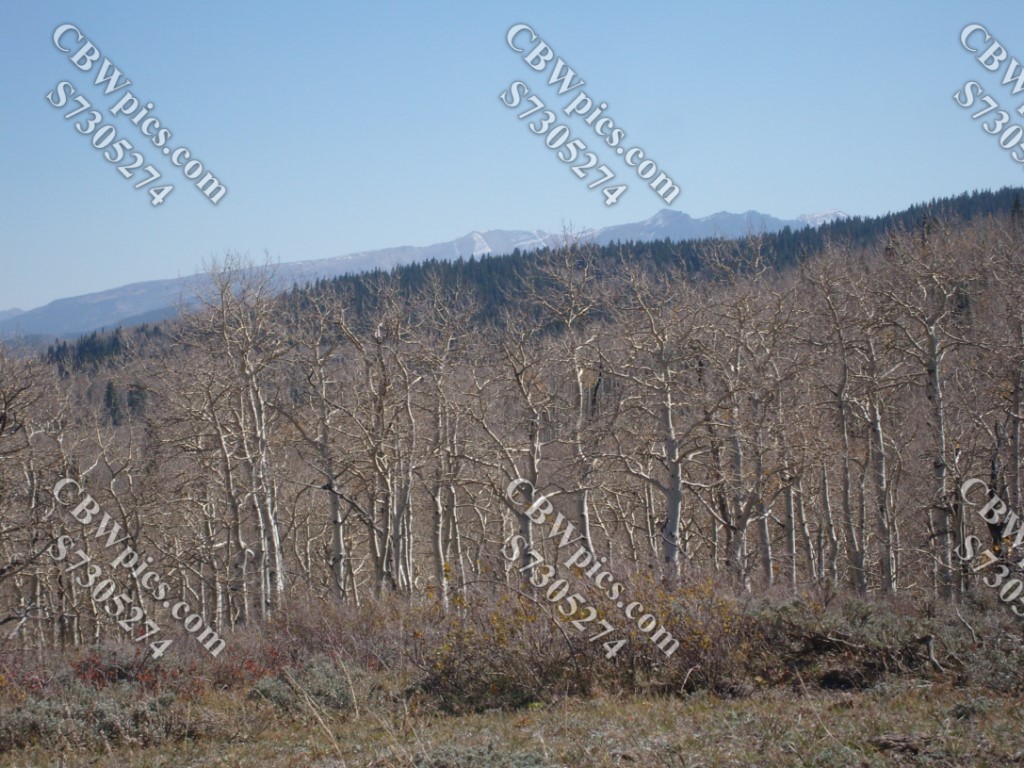
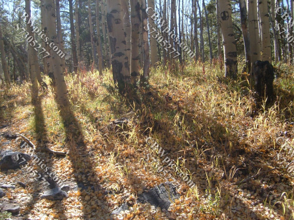
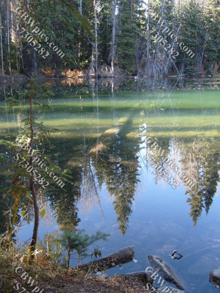
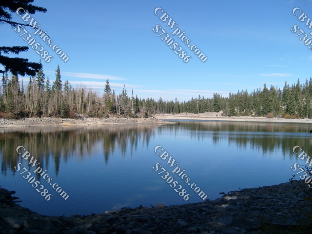
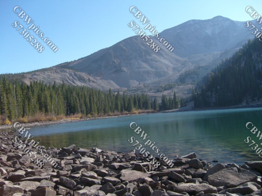
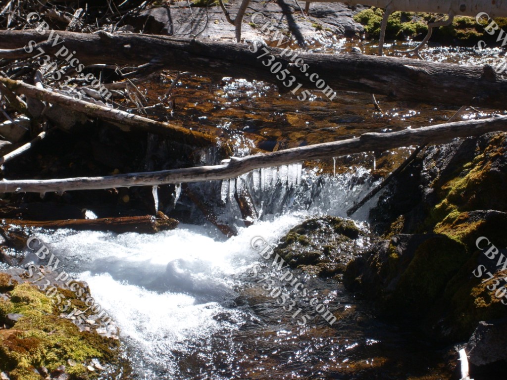
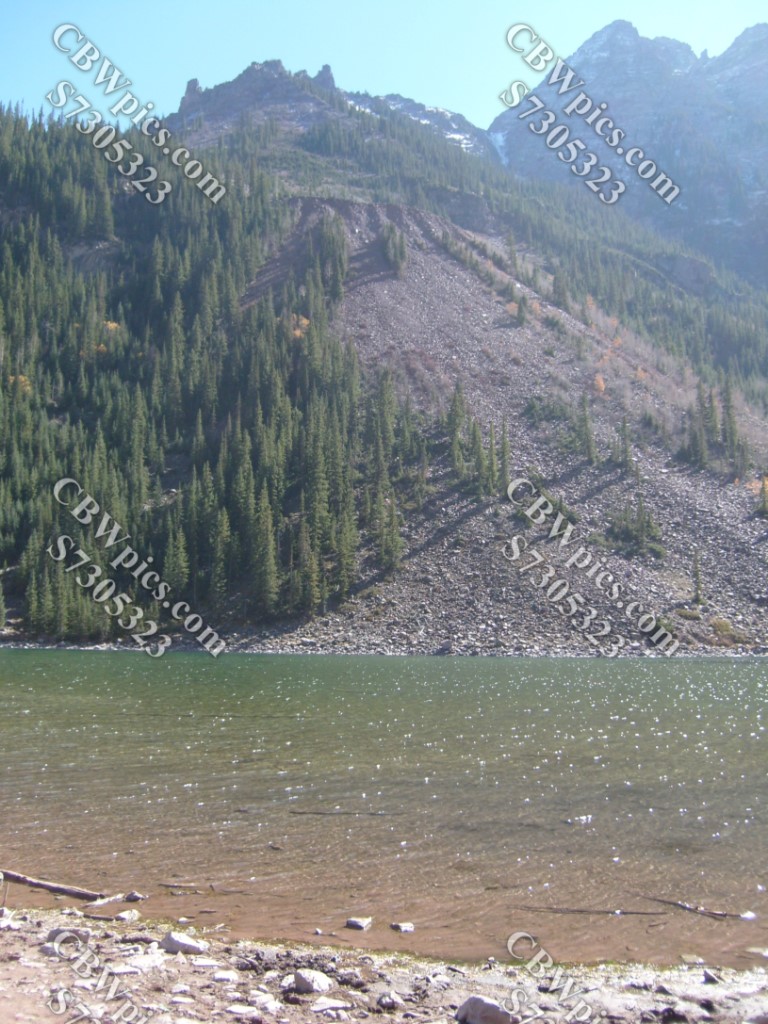
This was one of the highest hikes I went on during my last few years in Colorado. The Thomas Lakes are at an altitude of approximately 10,200 feet. Hey, we made it! Welcome to Thomas Lakes:

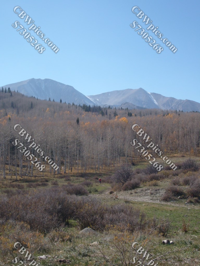
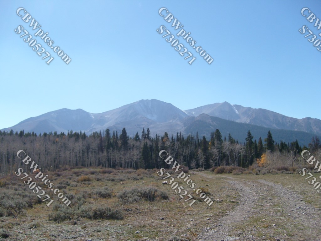
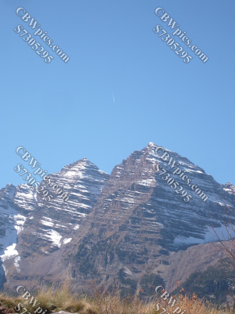
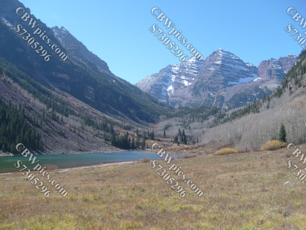
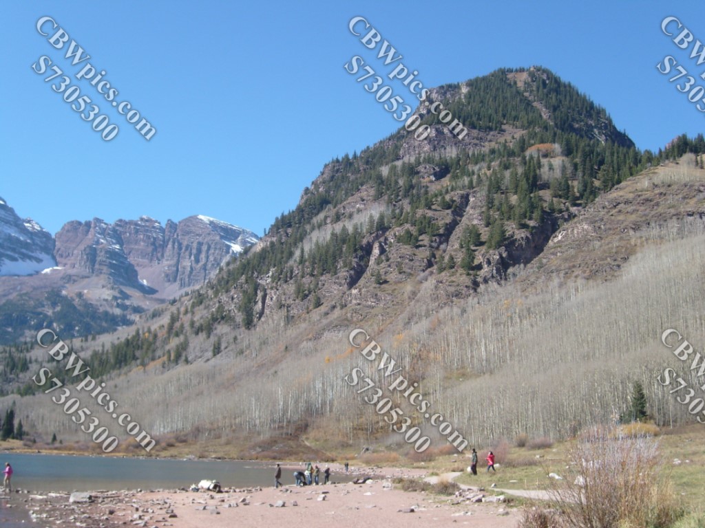
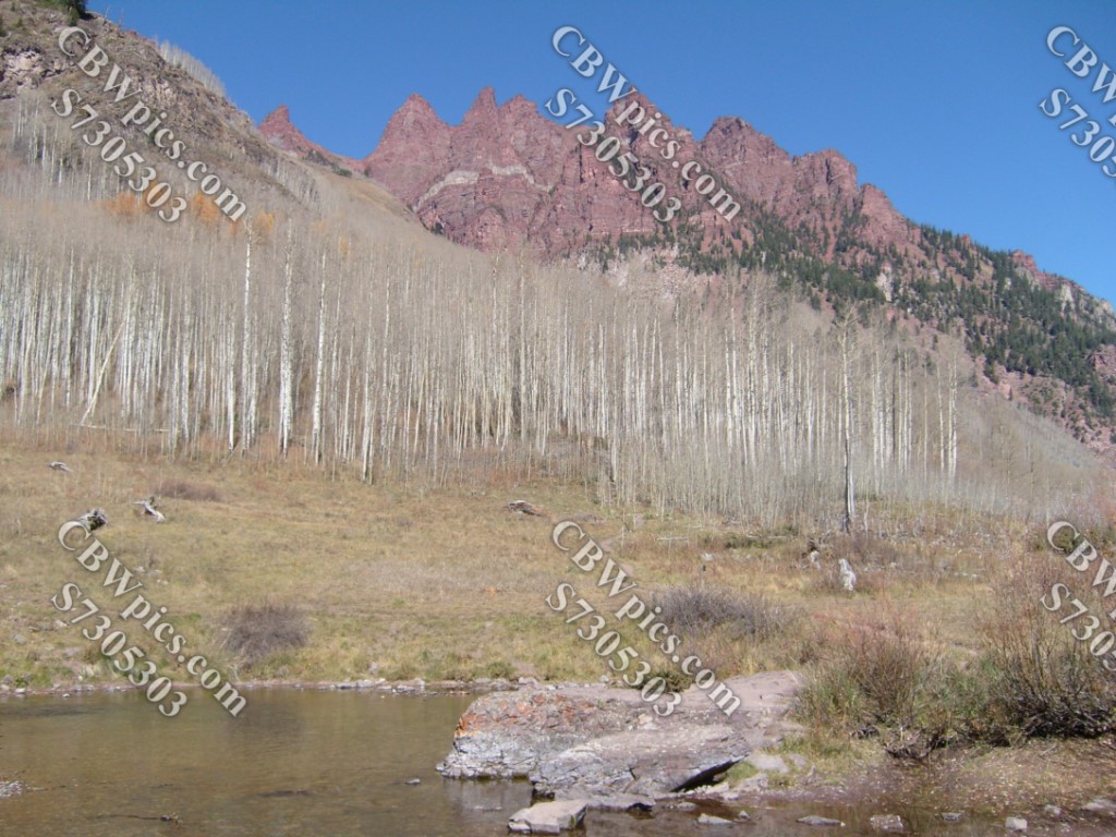
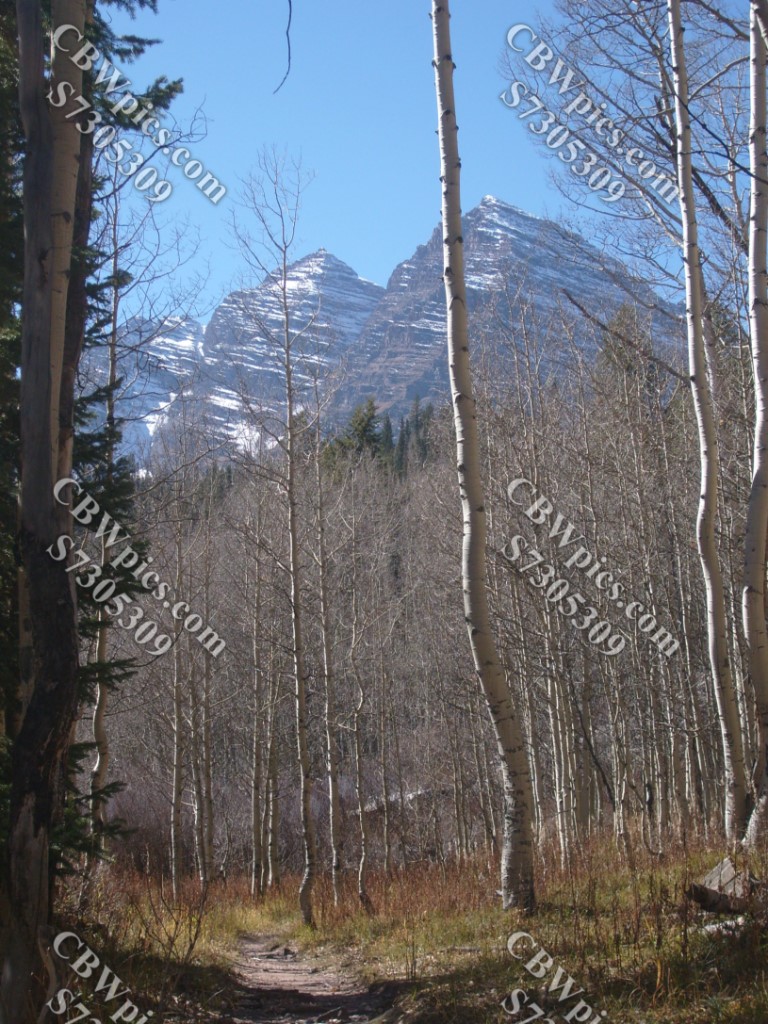
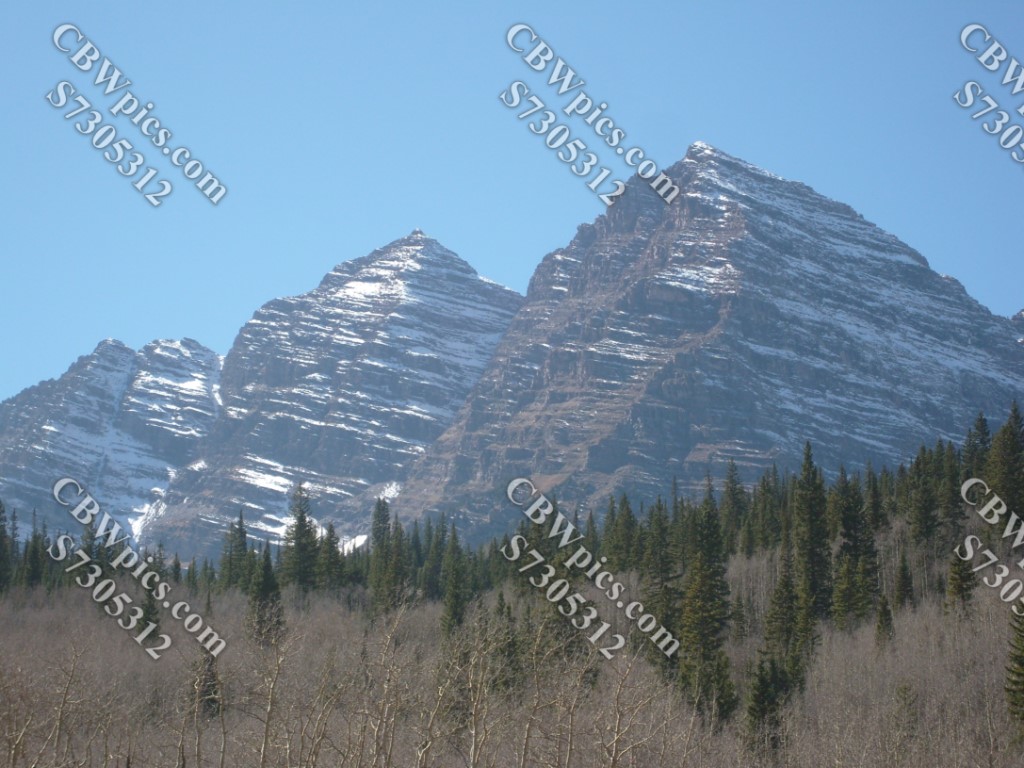
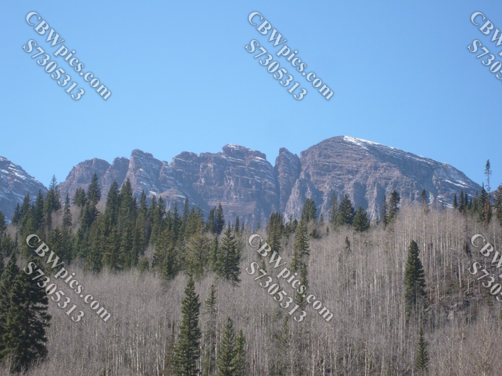
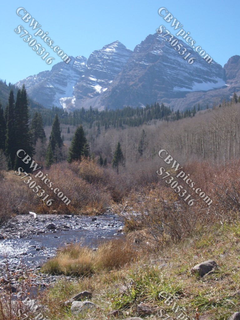
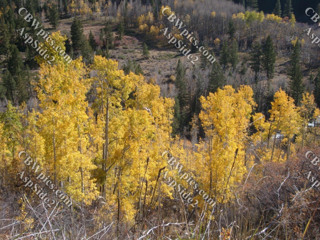
The following day, I took the long way home, driving through the playground of the rich and famous: Aspen. But this time, I wasn’t there to stalk Jodie Foster. This time. No, this time I wanted to see the sights on either side of the city of Aspen. On the west side of Aspen, there’s a mountain that has got to be the Most Photographed Place In The State. Yes, the world-famous Maroon Bells (a.k.a. Maroon Peak), just outside of Aspen. If you do a Google Image Search for “maroon bells” you will find LOADS of gorgeous pics. However, 99% of them are taken from the same location, and they all attempt to make the place look completely pristine – i.e., they show no trace of human activity. In reality, the place is VERY popular and is actually rather crowded. I decided to be a bit different with my photos, and show some of the crowd, as well as taking pictures from places other than the standard spot near the east end of Maroon Lake.
As I was arriving, I noticed a jet plane flying high above the Bells. I wondered whether this was unusual, as I didn’t remember seeing any Big O’l Jet Airliners in any of the photos I had seen of the Bells, so quickly snapped the first pic below. However, I soon found that this is quite frequent, and eventually wondered how so many photographers manage to get jet-free pictures of Maroon Bells. Anywho, here’s my initial take on Maroon Bells, check it out:


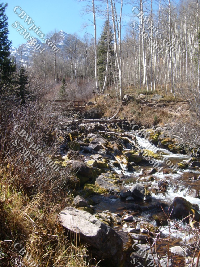
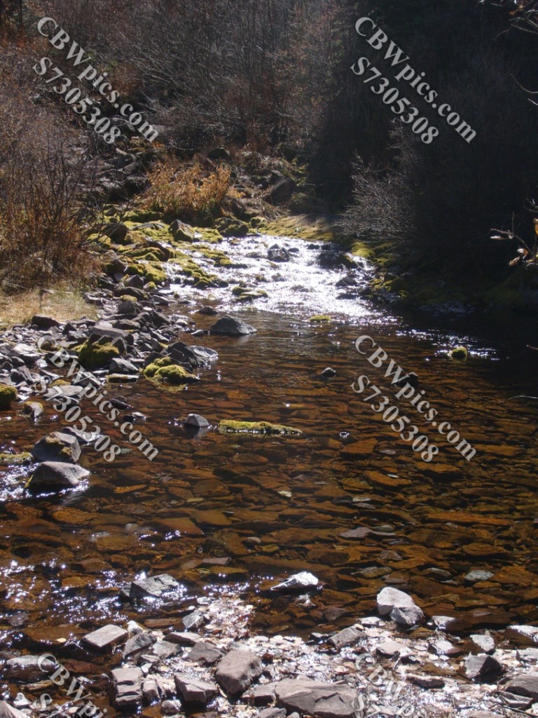
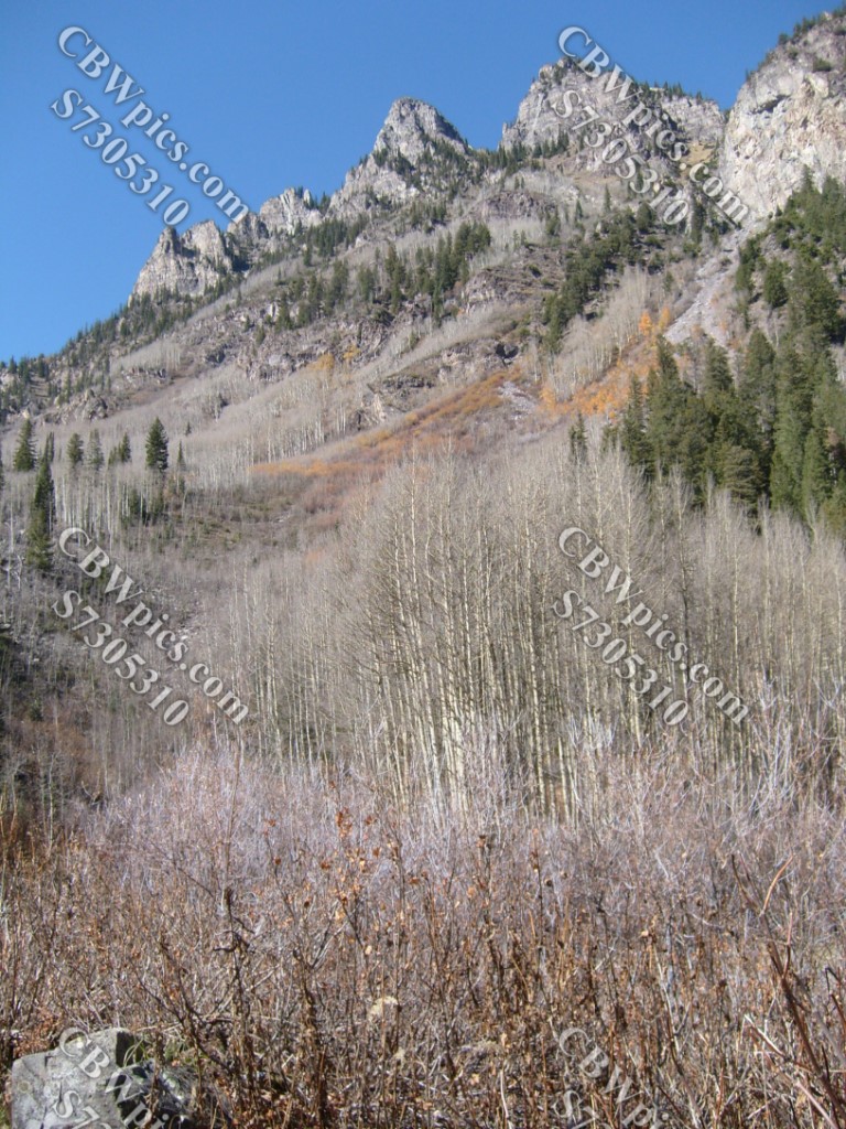
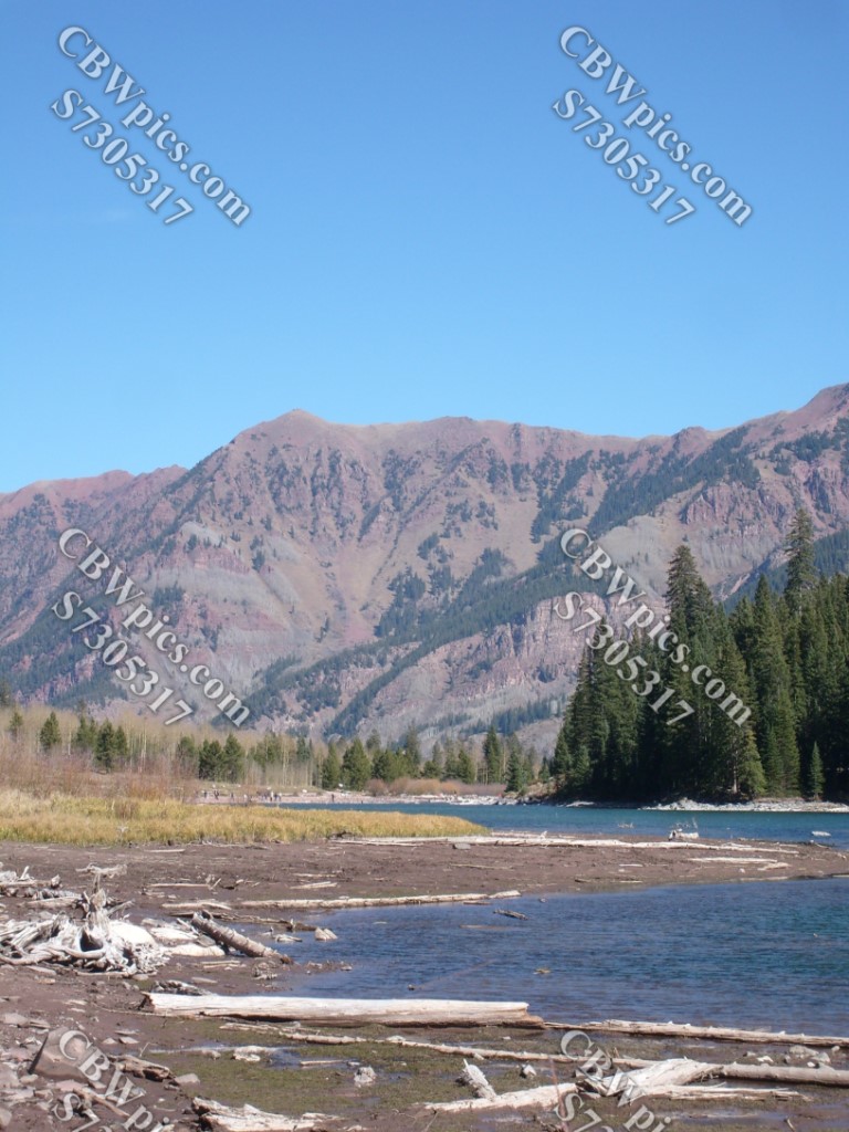
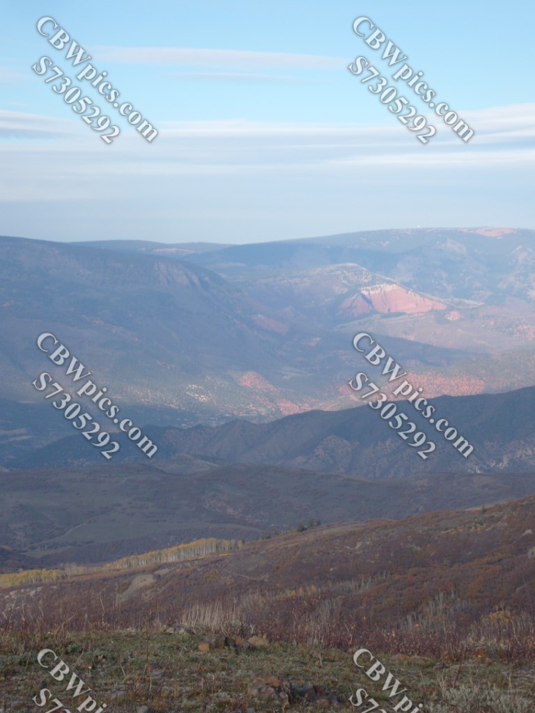
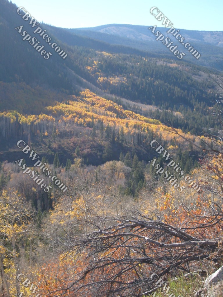
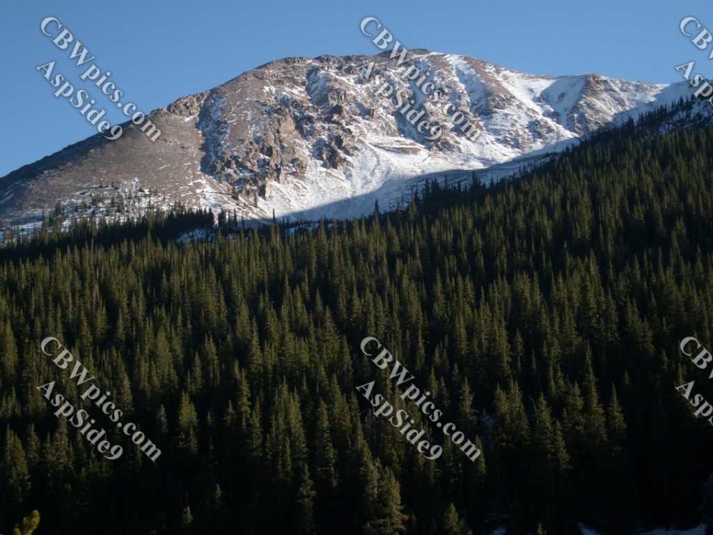
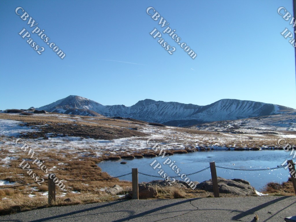
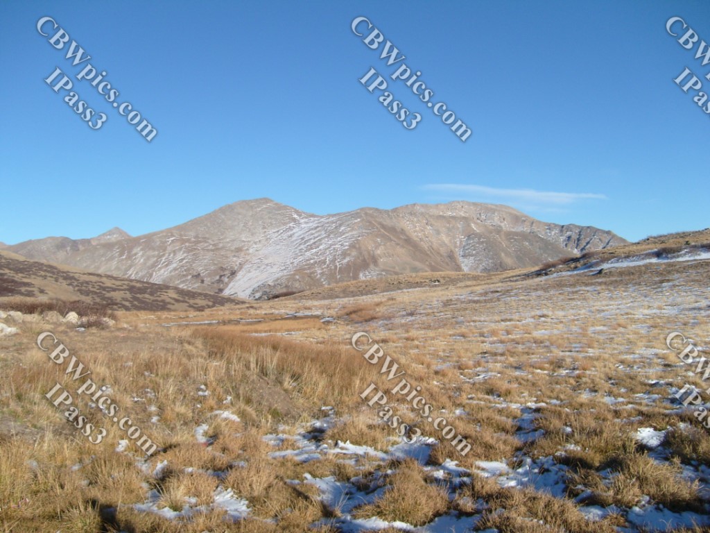
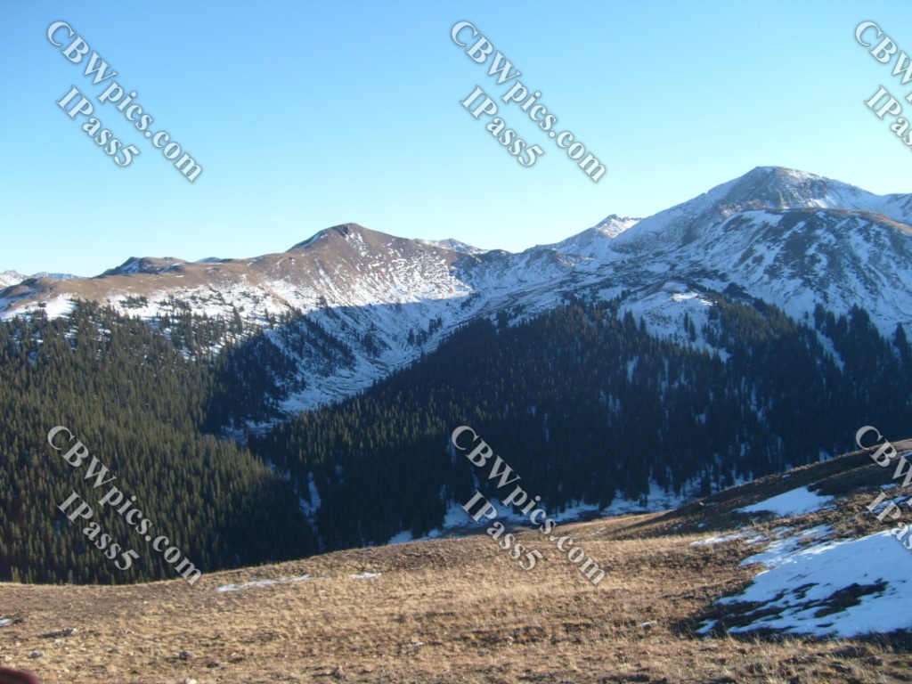
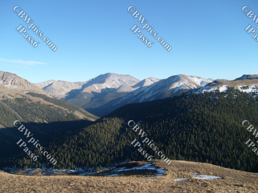
My mission to Maroon Bells was complete. Time now to drive across Aspen to get to the other attraction on my list: Independence Pass. I must say, Colorado Highway 82 over Independence Pass is the craziest highway I’ve ever seen – unfortunately, I was so busy trying not to die, that I got no pictures of the crazy parts. However, there were also some nice scenic areas that I managed to photograph:
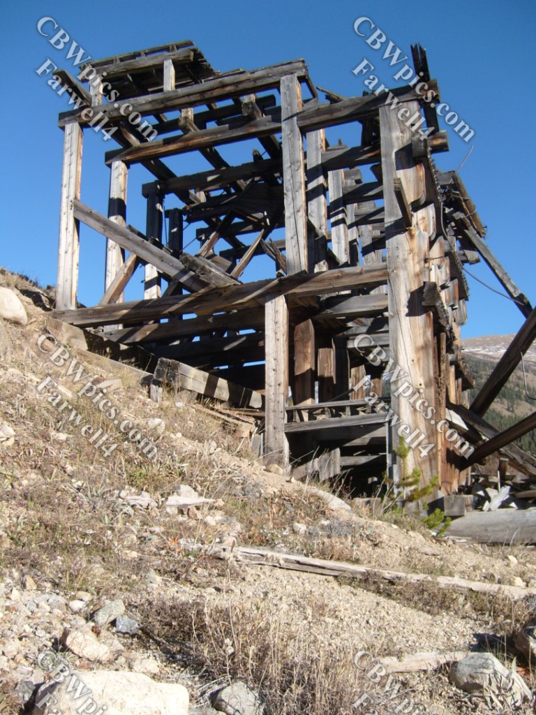
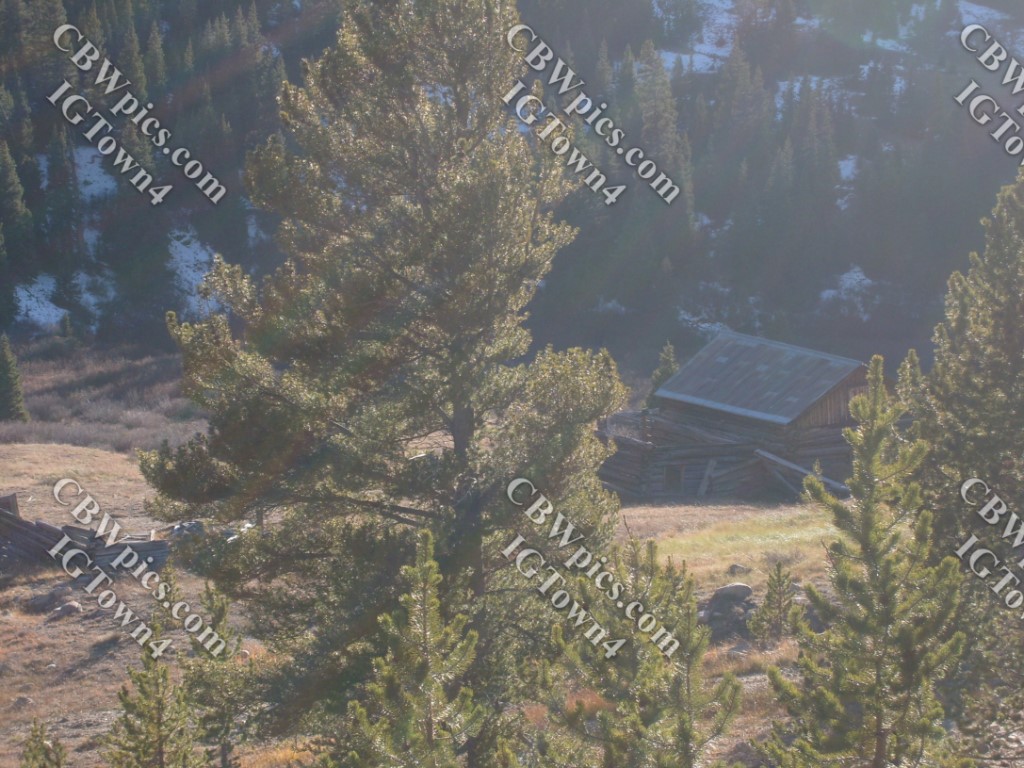
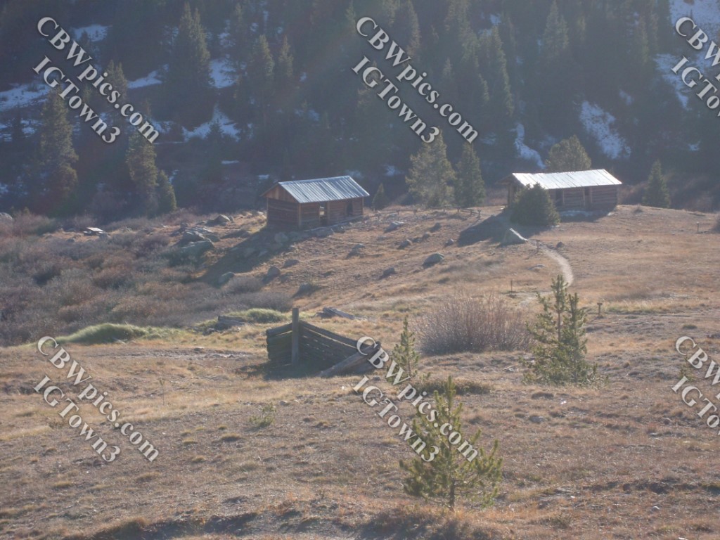
After a number of miles (and that number was NOT negative), I came to the ghost town of Independence. Well, OK – I came to “A” ghost town called Independence. There have been at least two towns named Independence in Colorado’s history. The one you’re about to see was founded in 1879. The other one was in the Cripple Creek Mining District, and was founded in the early 1890’s, about the same time this one was dying. There’s nothing left of the second Independence, and not a whole lot left of this one. This is what’s left, as seen from the highway:
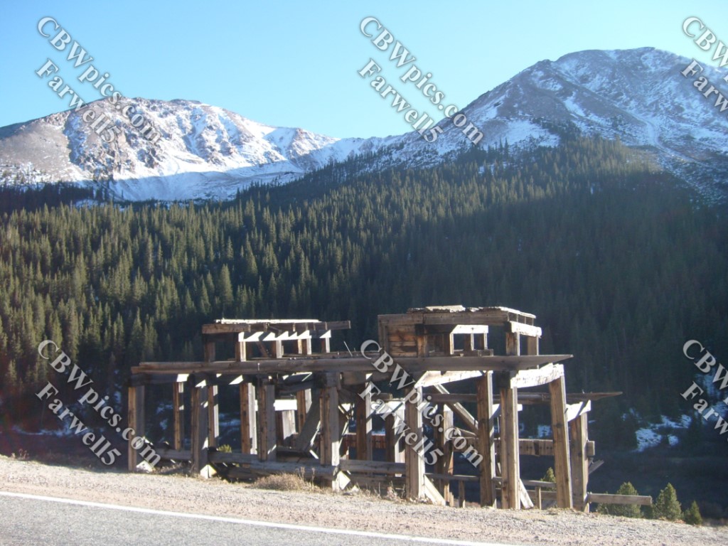
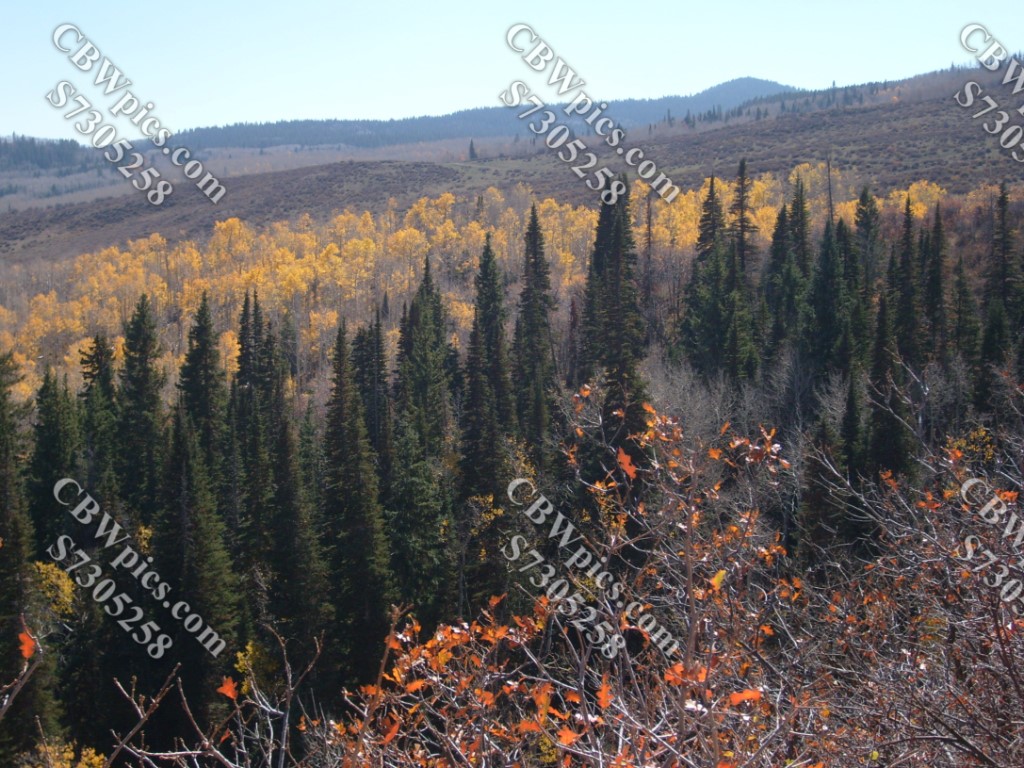
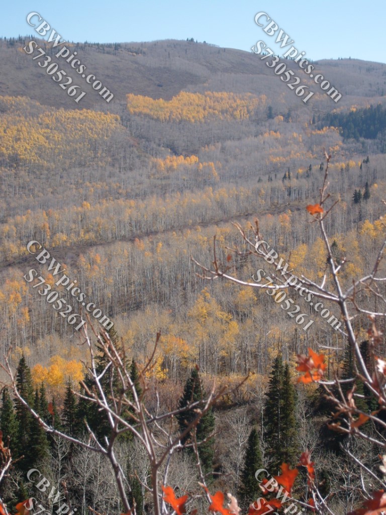
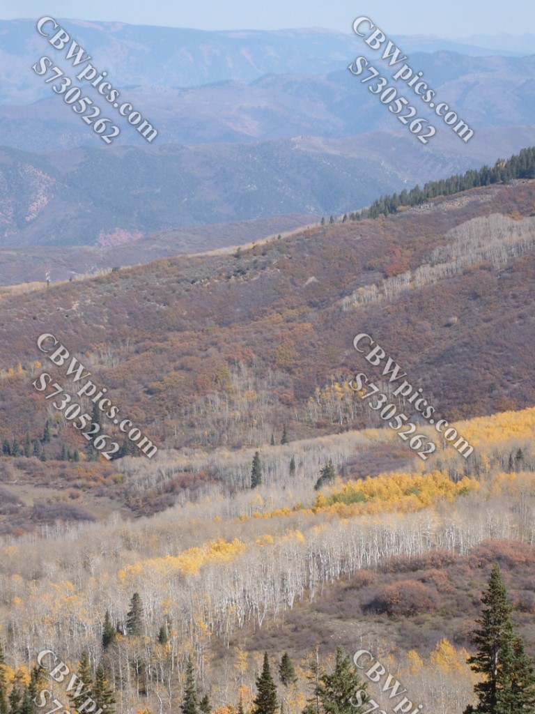
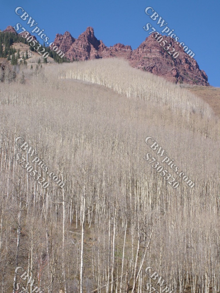
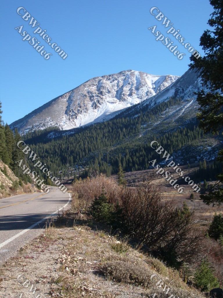
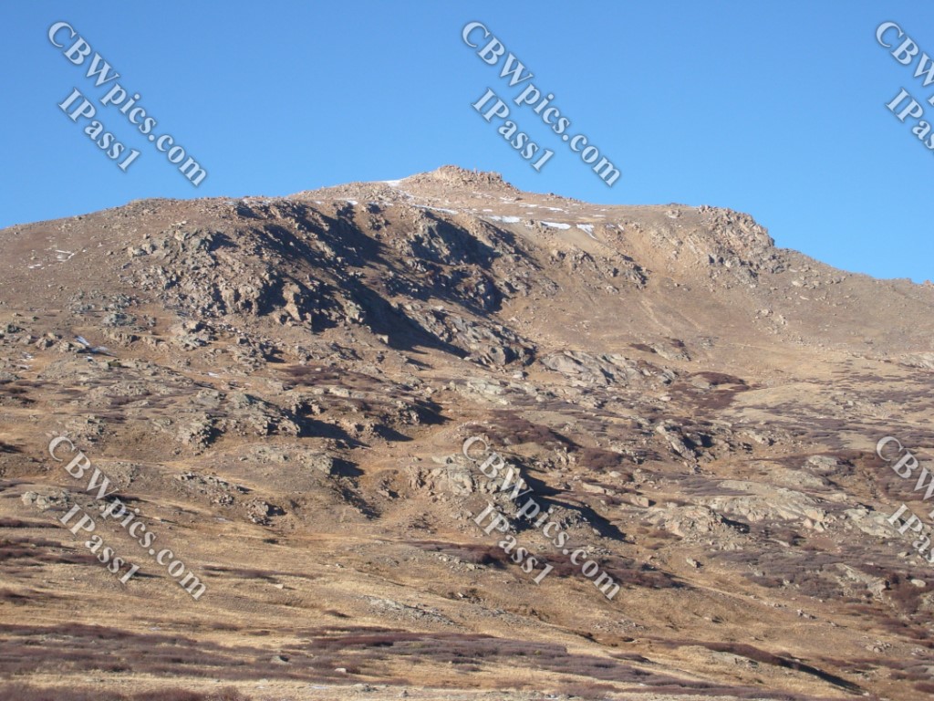
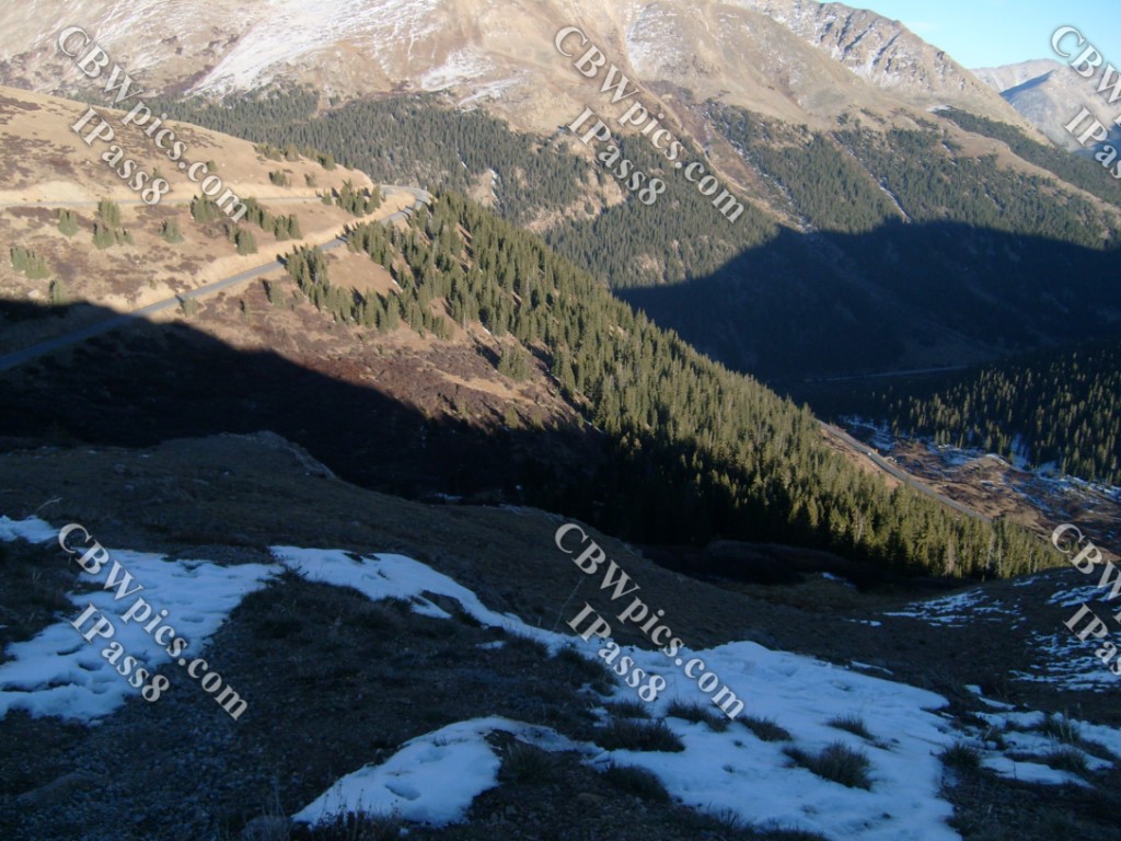
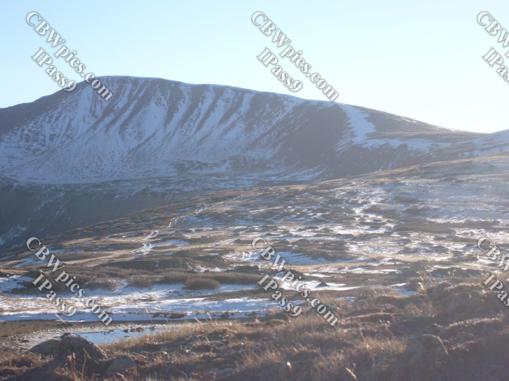
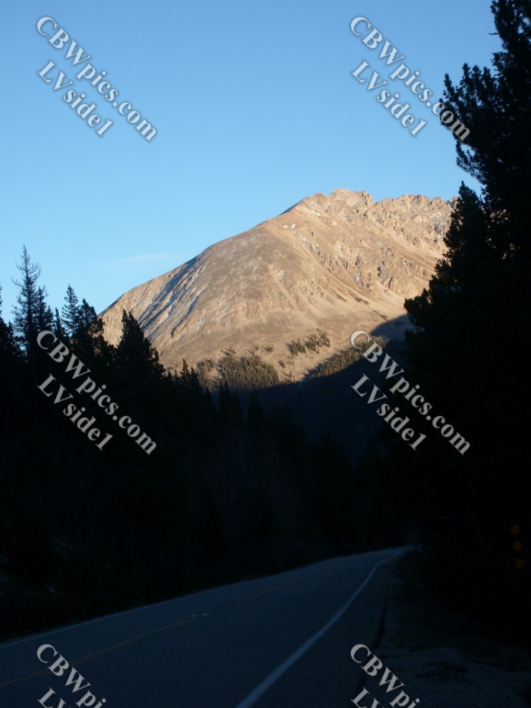
After seeing Independence, it was time to head up and over the pass, and then homeward. Some glimpses of that drive:

I hope you’ve enjoyed this trip through time and (inner) space. Where and when will I go next ThrowBack Thursday? I’m not sure yet, but possibilities include exploring old mining areas along the Central City Parkway, a ride on what was then the tallest Ferris Wheel in the world (in Las Vegas), or perhaps another hodgepodge post. There’s just one way to find out…but I forget what that way is.
