
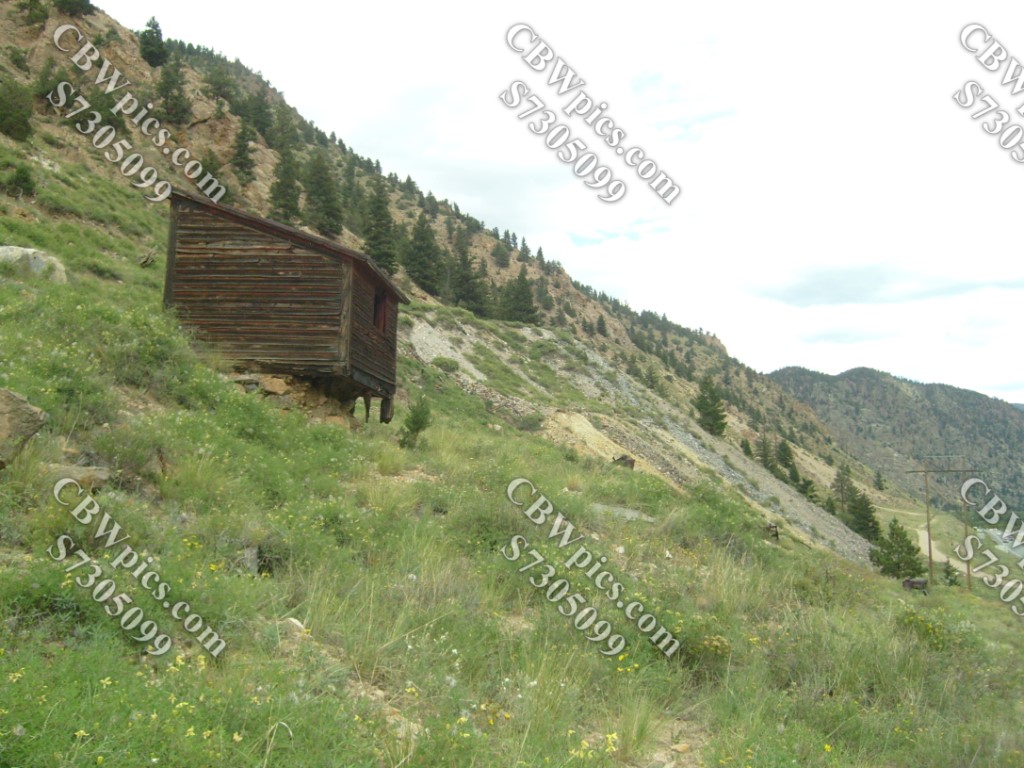
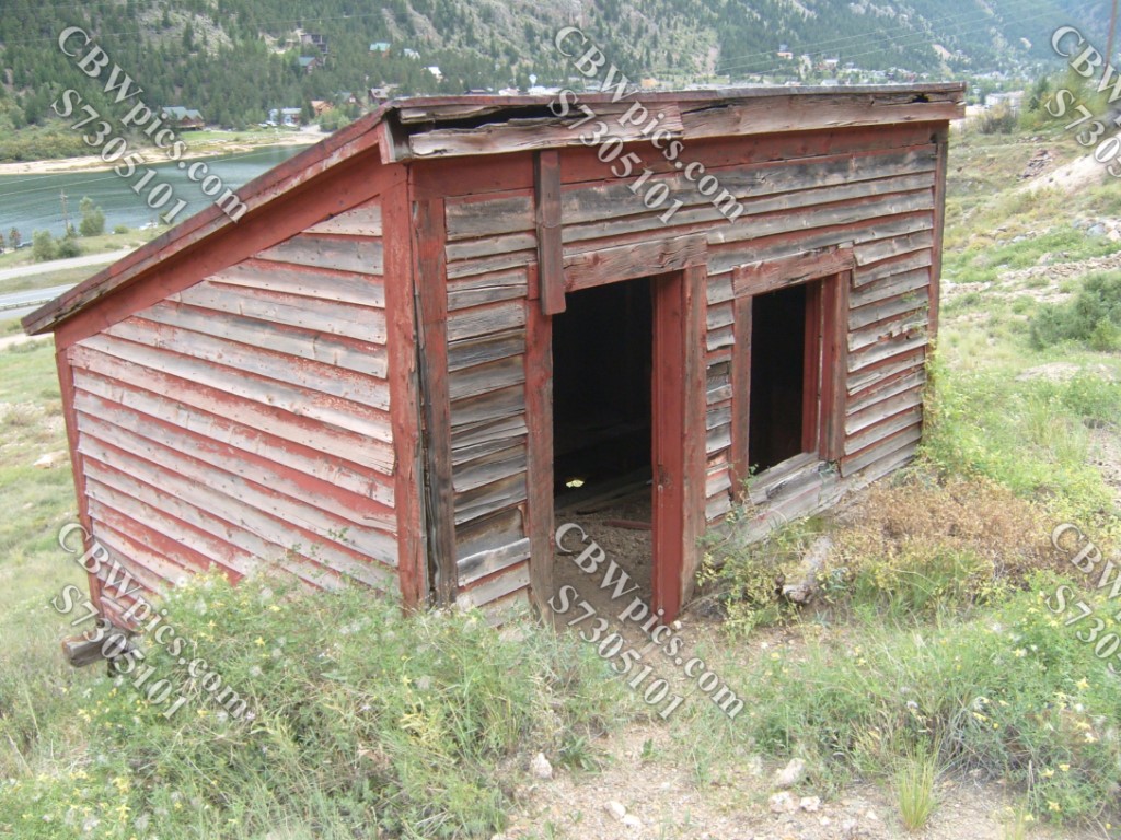
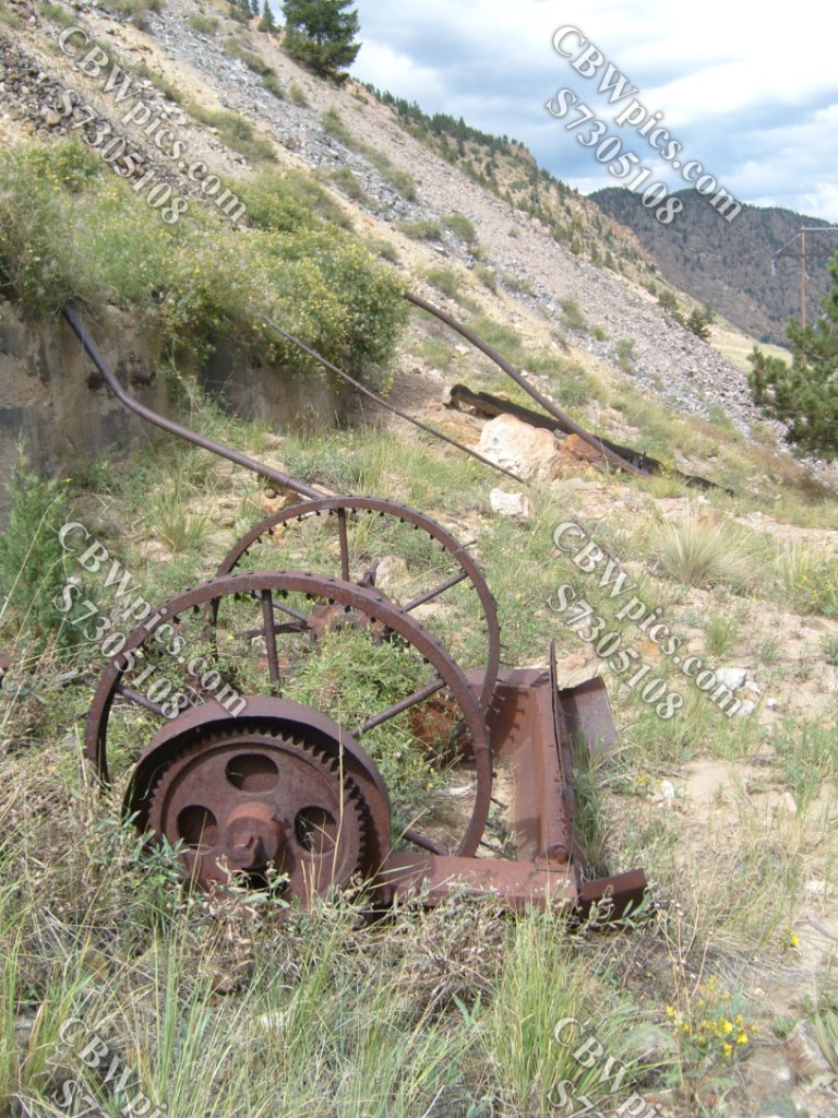
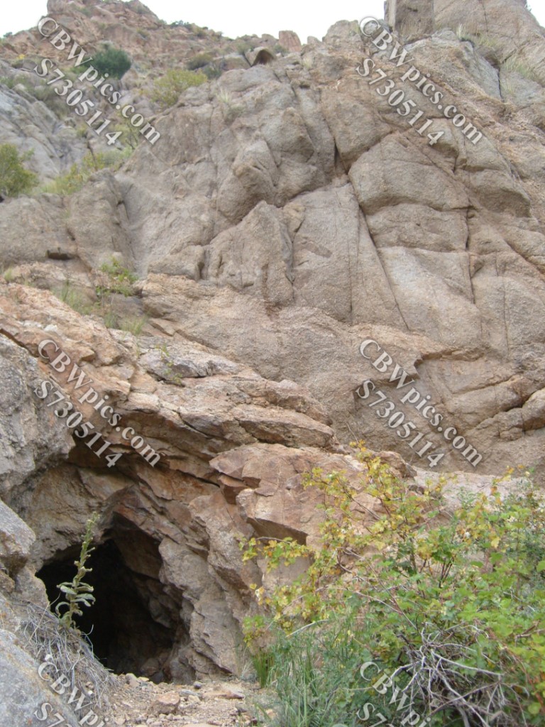
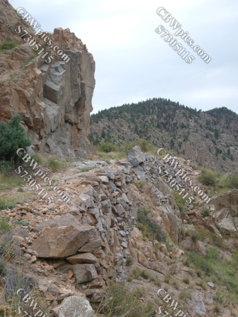
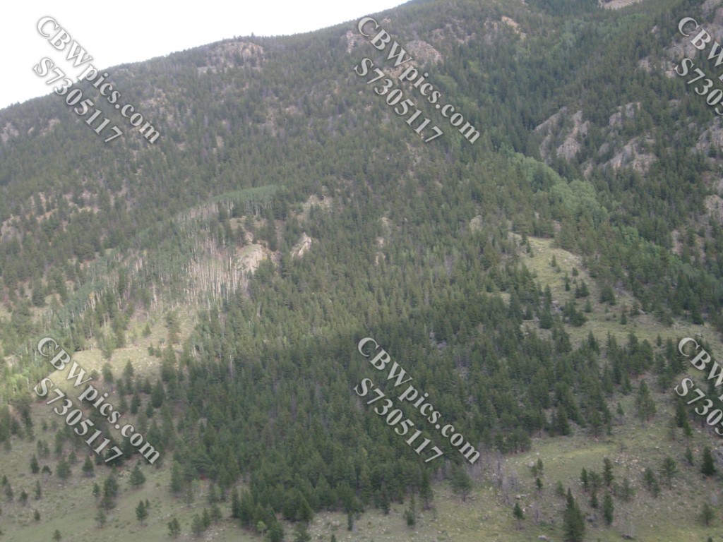
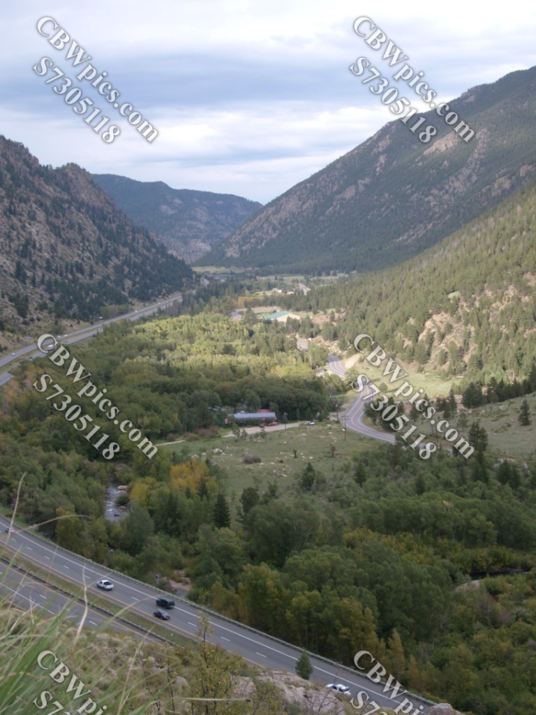
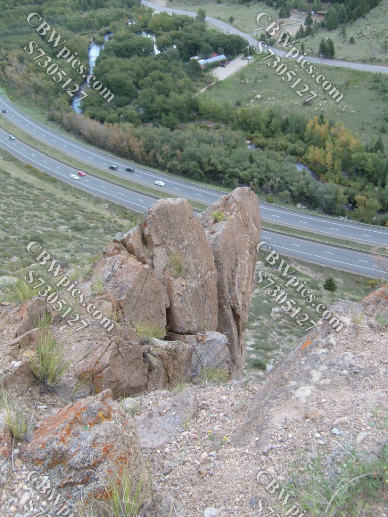
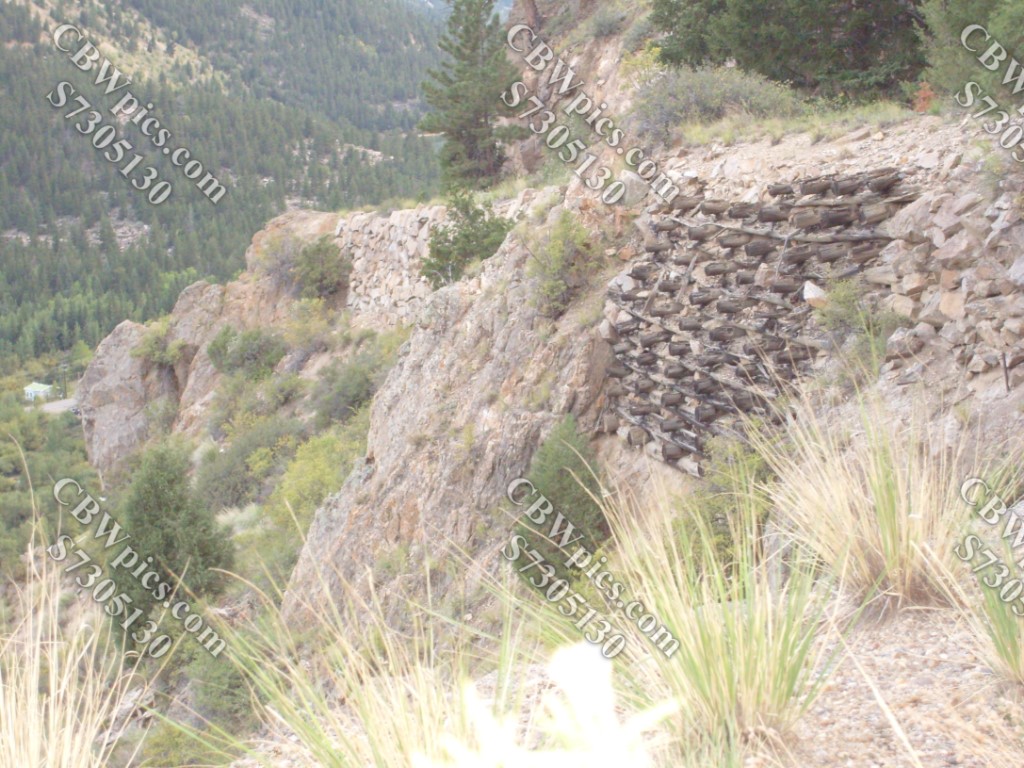
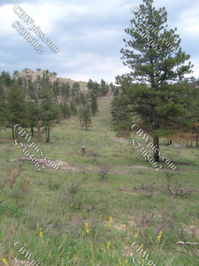
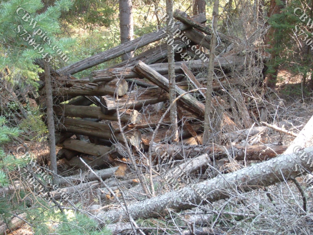
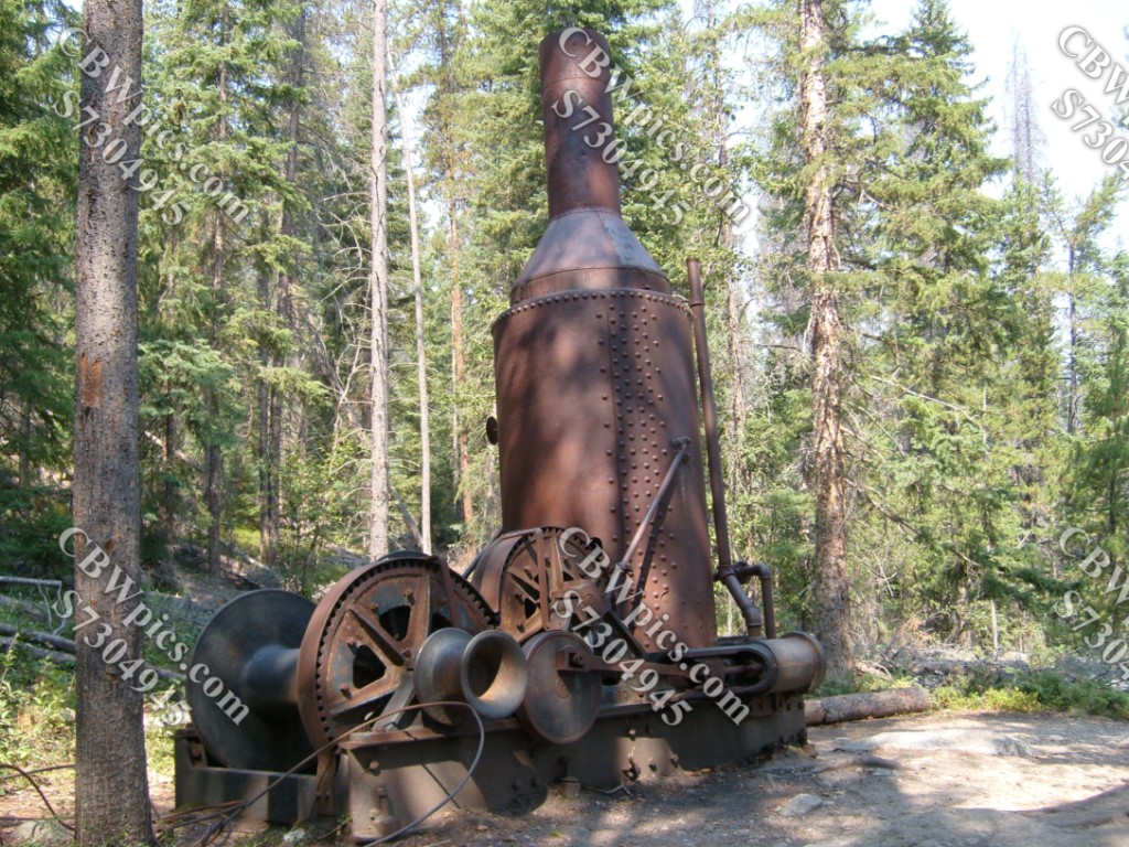
For this week’s ThrowBack Thursday, let’s have a Tupperware(TM) party! Let’s begin with the mostly forgotten wagon road over Union Pass. These days, if you want to get from Georgetown, Colorado to Empire, Colorado you hop onto I-70 then take the exit for US 40. In doing so, you go east to get around Douglas Mountain, then west along the mountain’s, uh, back side. But there was once a shorter way. During the 1870’s, when local silver deposits made both of these towns much more economically important than they are today, and Georgetown was one of MANY towns trying to win the title of State Capital, a road was built to connect Georgetown and Empire more directly. That road went over Union Pass, on the west end of Douglas Mountain. By going over the mountain instead of around it, this old wagon road made it a 4.8-mile trip; on the modern roads, the journey is 6.8 miles. North of the pass, the old wagon road has been updated and maintained as a route from Empire to various homes and hiking trails in the mountains. South of the pass, the road was abandoned long ago. So, of course, this is the part of the old wagon road that interests me. Thus, one fine Sunday in September 2012, I drove up to Georgetown and parked at the foot of the old road. The remains of what must have been a huge stamp mill are strewn across the mountainside here, so let’s take a look at that first:

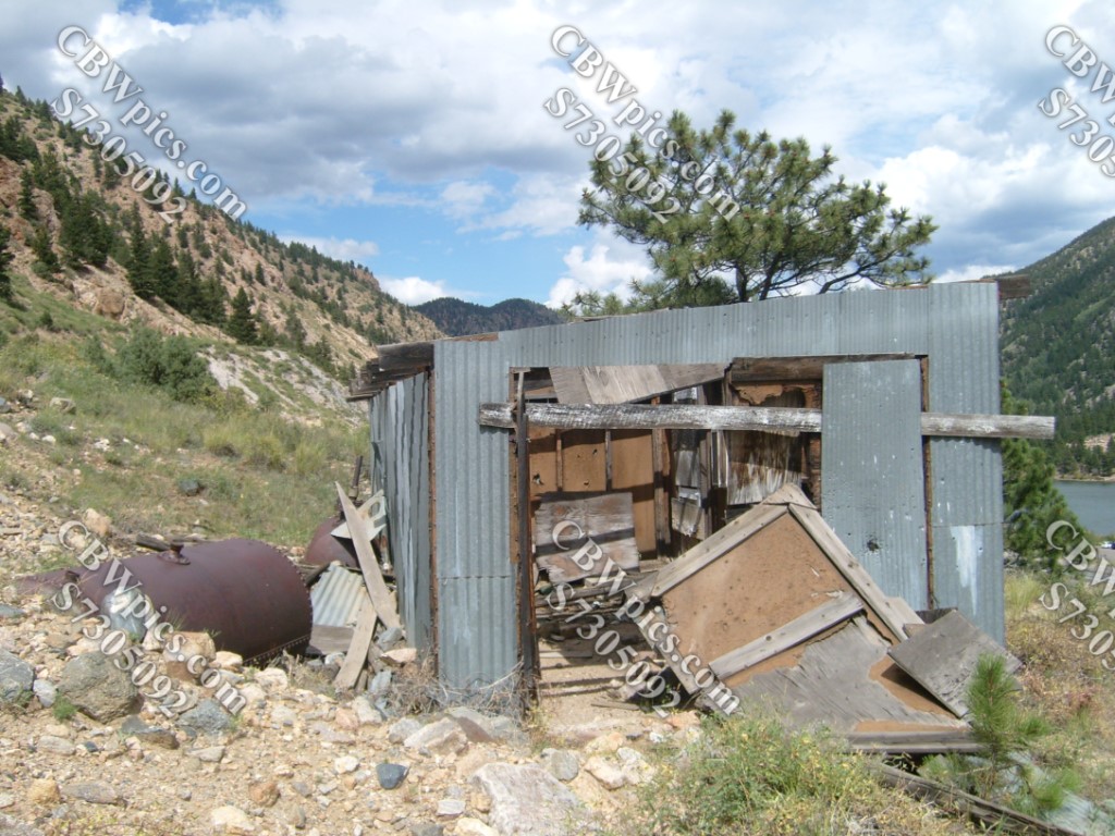
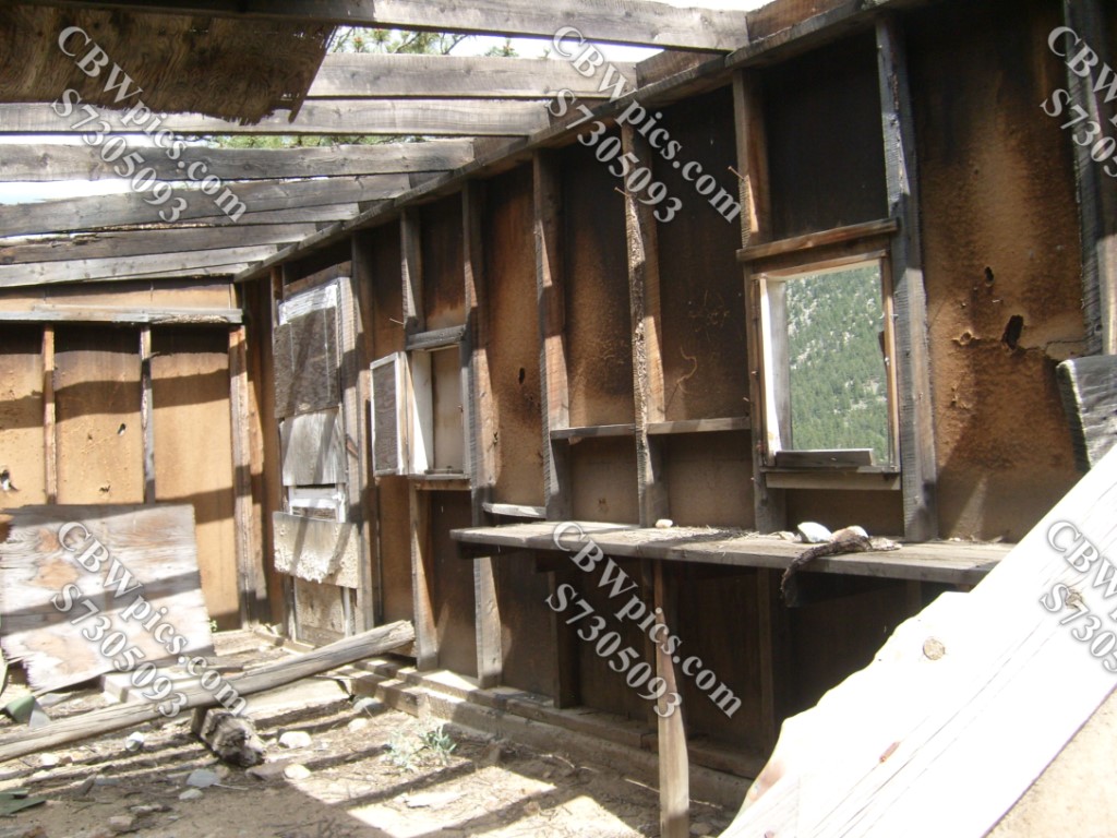
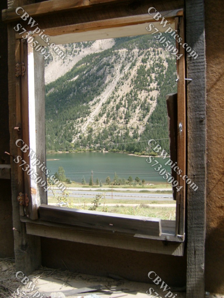


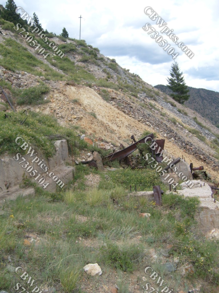
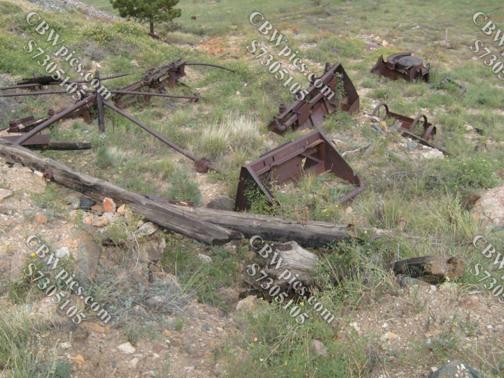

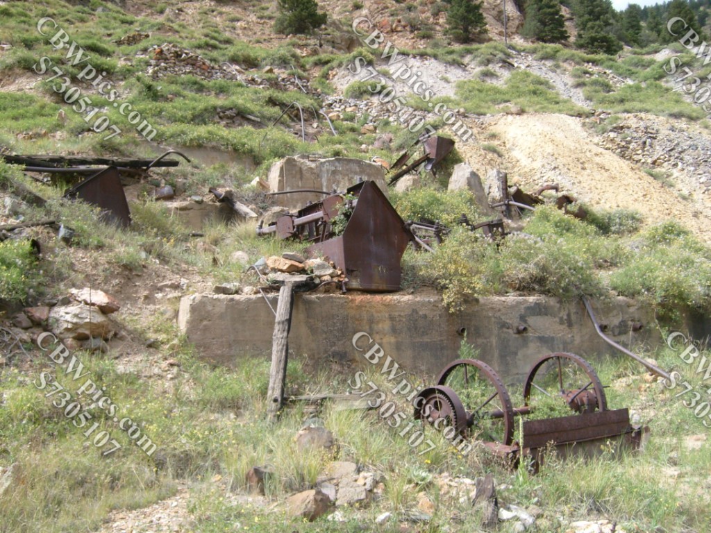
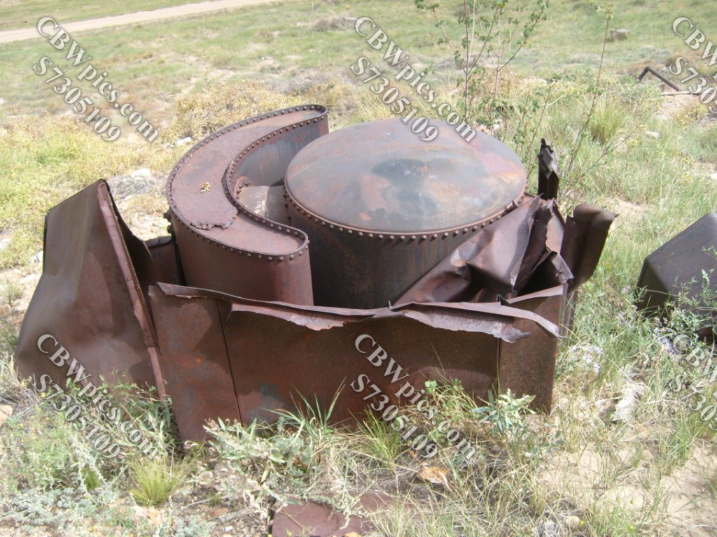
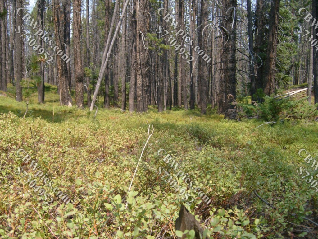
Travel Tip: If you plan to visit the above (or any) abandoned mill, make sure you’re up-to-date on your tetanus shots. Got it? OK! Let’s head on up the old wagon road:


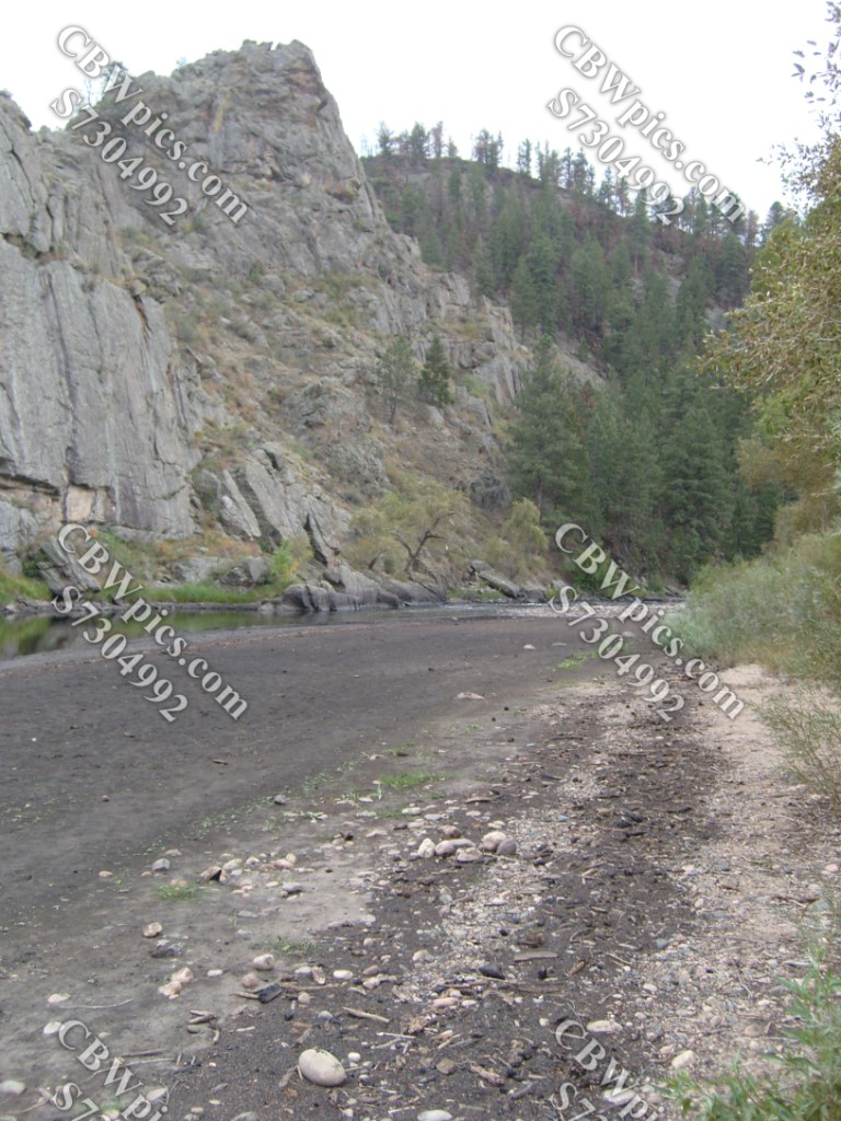
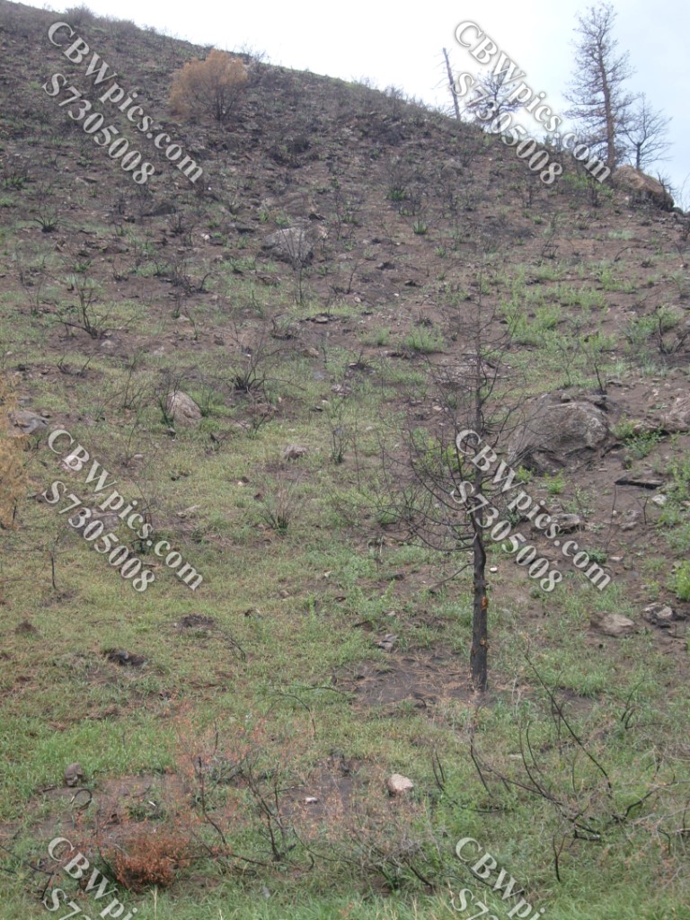
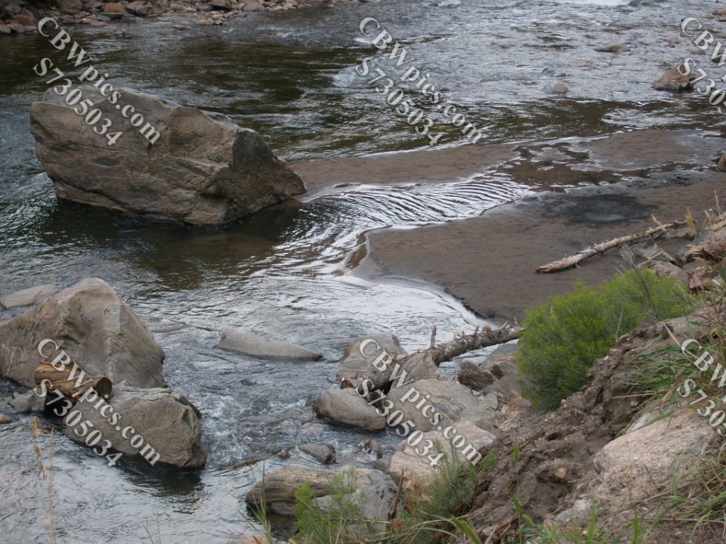
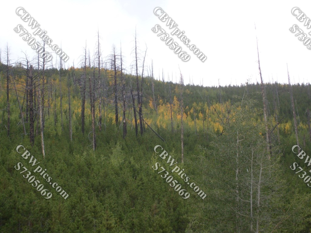
And now, the part Beavis has been waiting for. During the summer of 2012, there was a FIRE in the mountains west of Fort Collins, Colorado. It was named the High Park FIRE! A couple of months after the FIRE, I drove up to the High Park burn area, to photograph the results of the FIRE! Rain storms that had occurred since the fire happened had washed a lot of soot into the Poudre River, resulting in black mud deposits downstream. Let’s start with some o’ that:
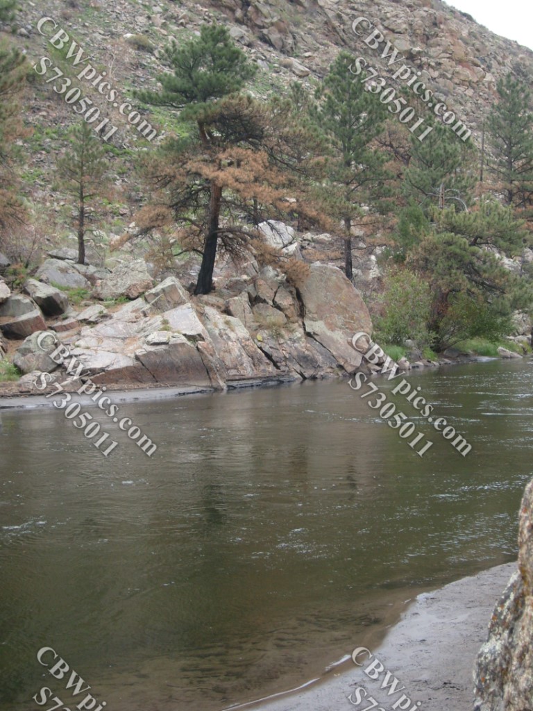
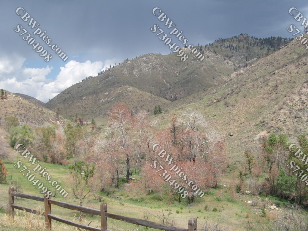
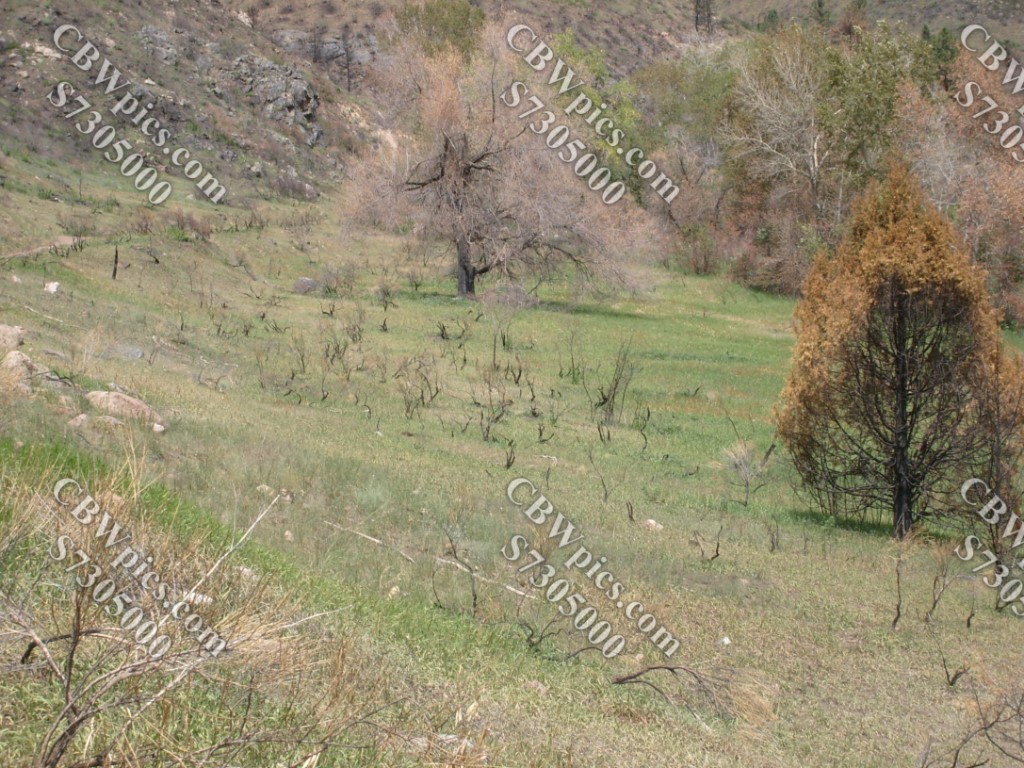

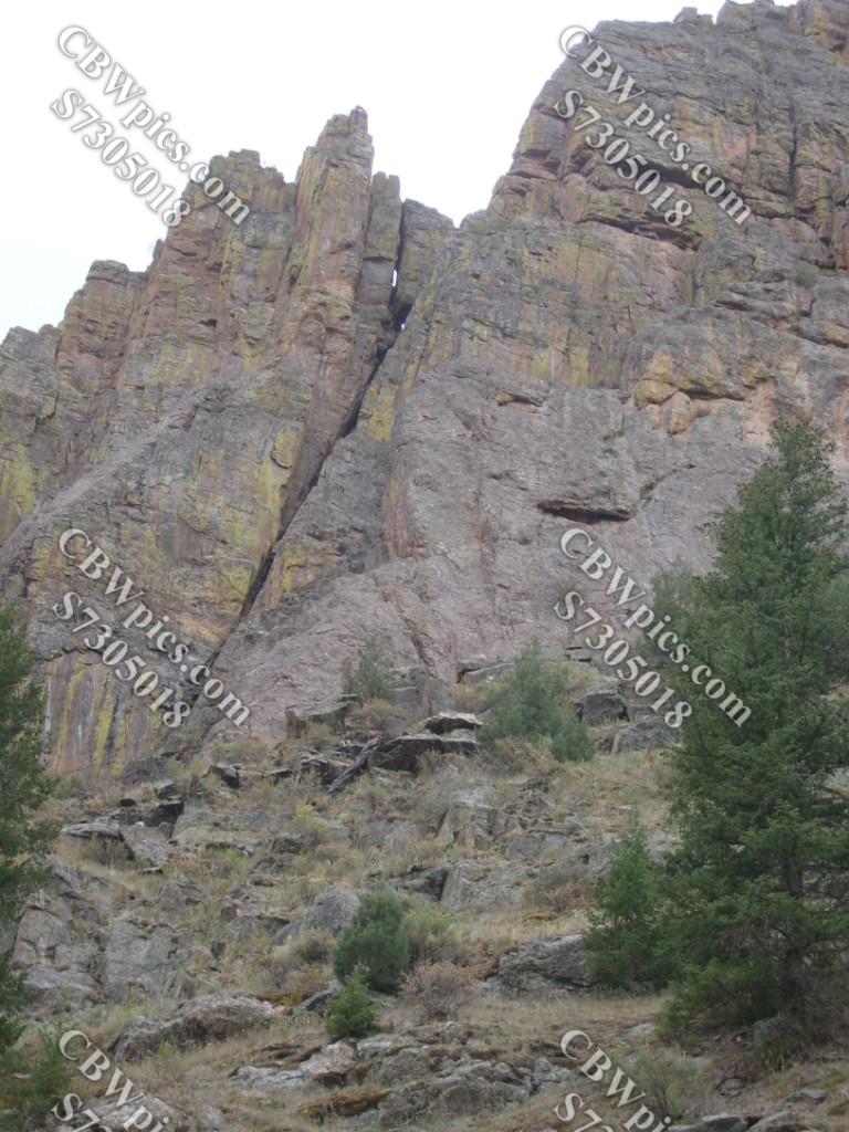


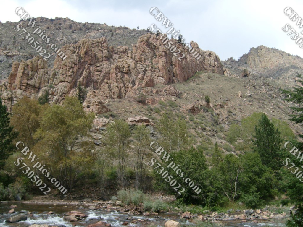
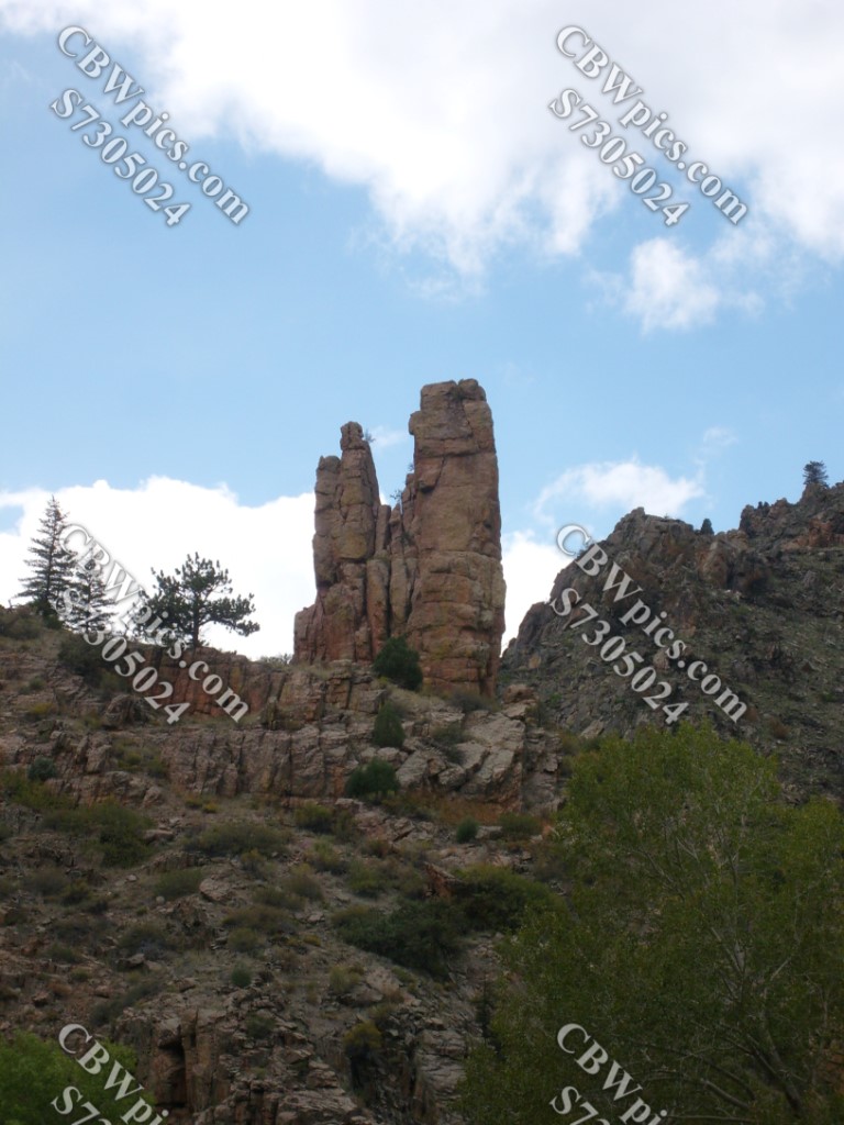

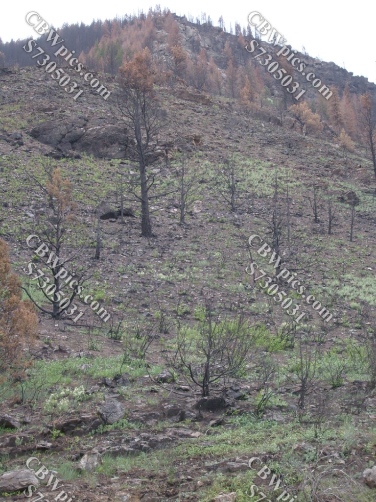
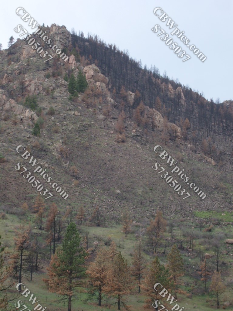

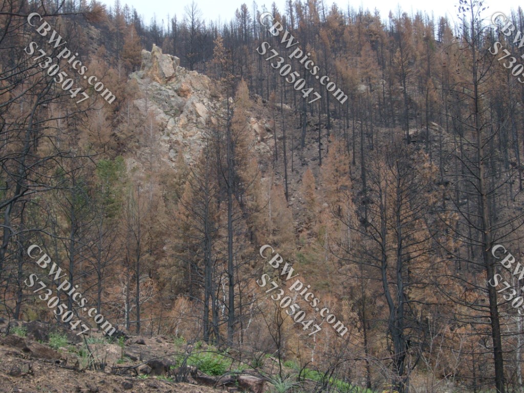
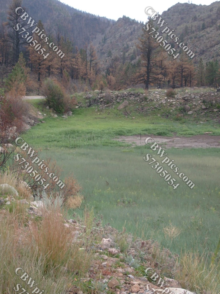
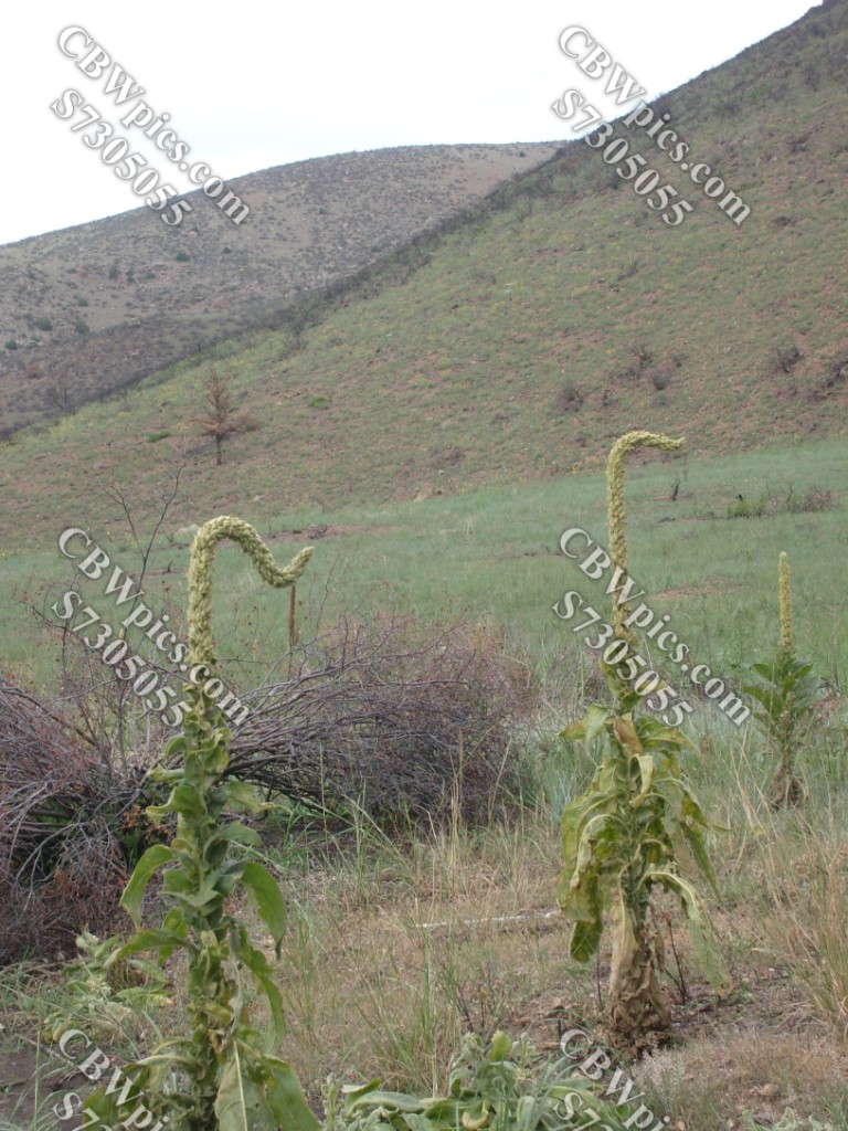
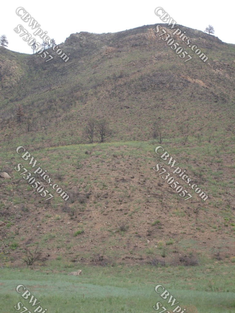

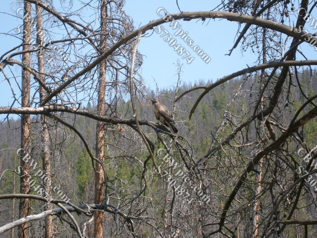
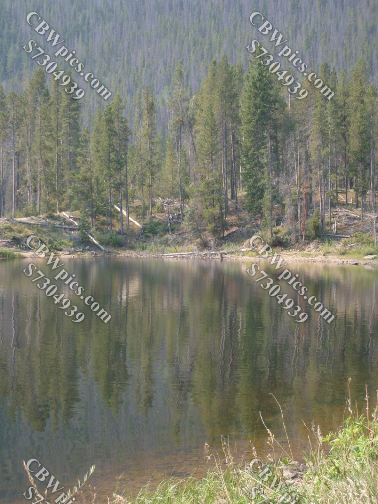
All of the pictures in the above gallery were taken in the Poudre Canyon. As I drove, I wondered how long it might take the newly burned areas to return to “normal”. To get an idea, I took a side trip up Pingree Park Road, to a nearby area that I knew had burned during the summer of 1994. I found there were still burnt trees standing 18 years later, and the new trees were still only 3 or 4 feet tall, but so densely crammed together that they were damn near impossible to walk through. Now, please enjoy some scenes from along Pingree Park Road:


Wait! I didn’t actually mean it’s time for sleep! We still have one more stop to make. Walk right this way, please, to The Happiest Place on Earth! That’s right, kids…Grand County, Colorado!
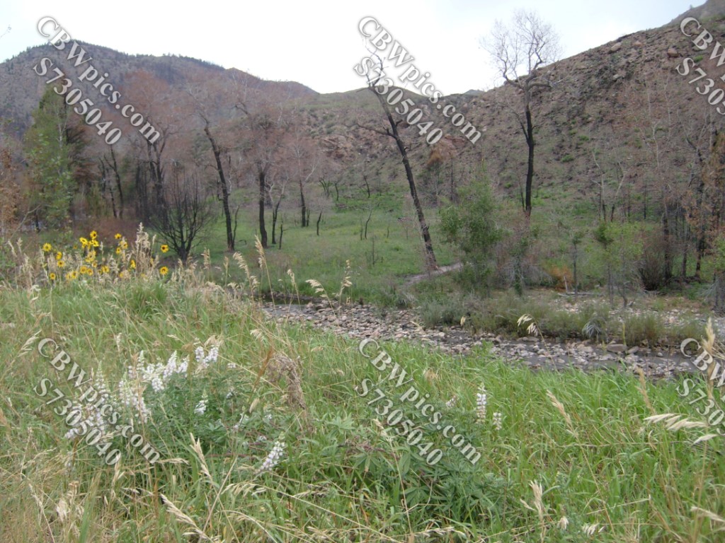
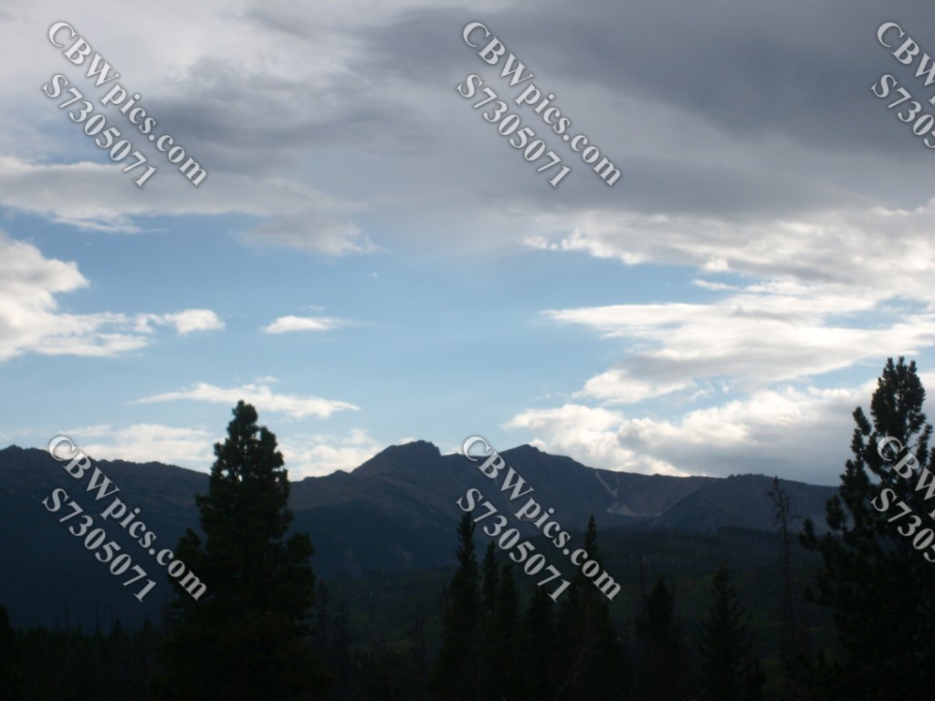
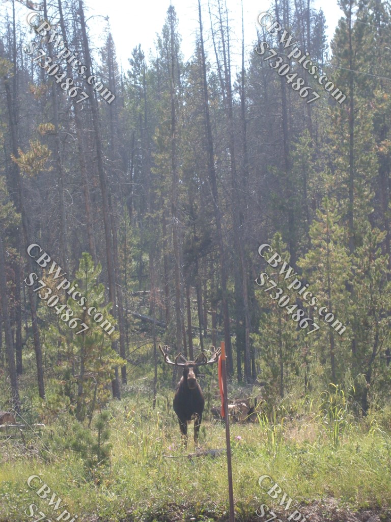
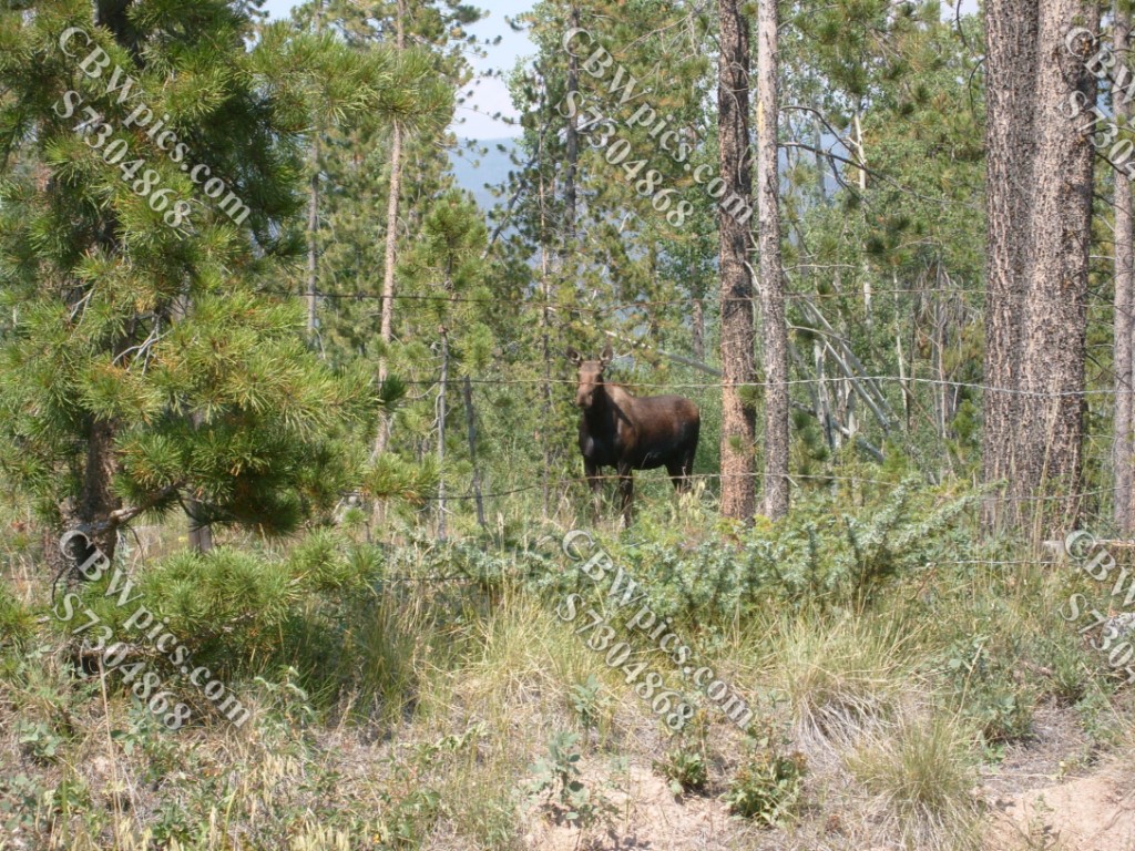
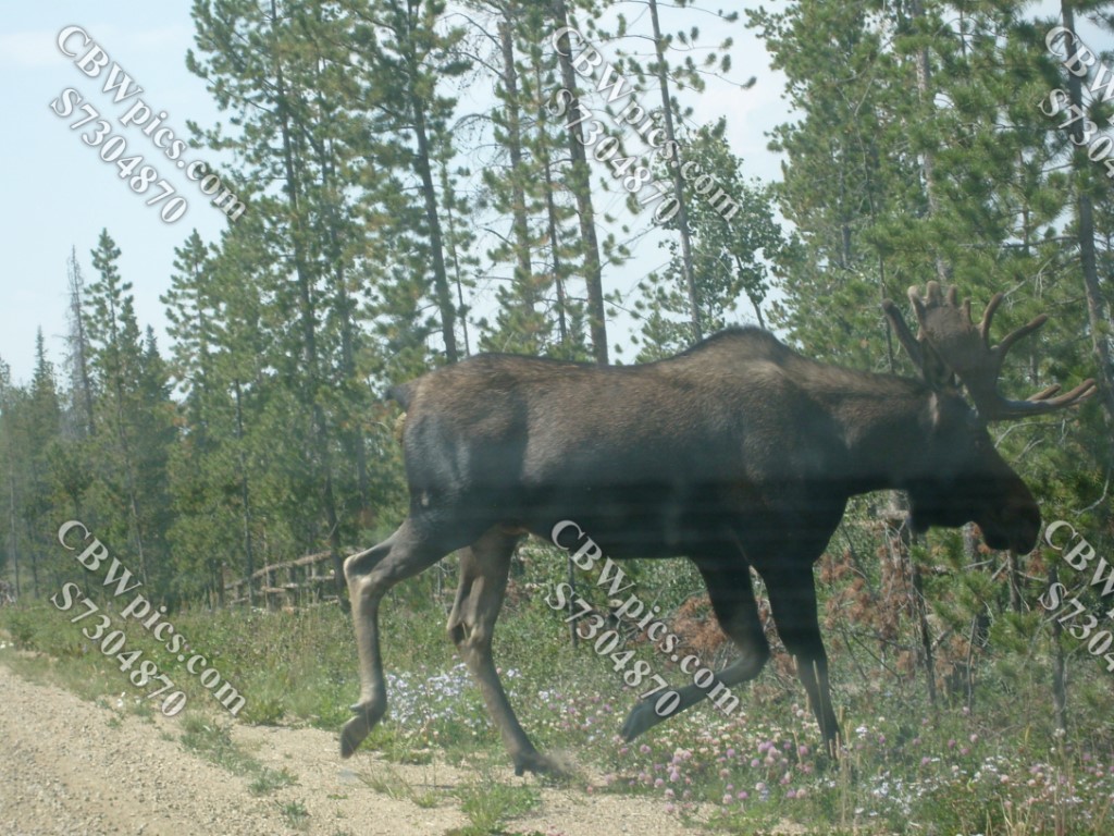
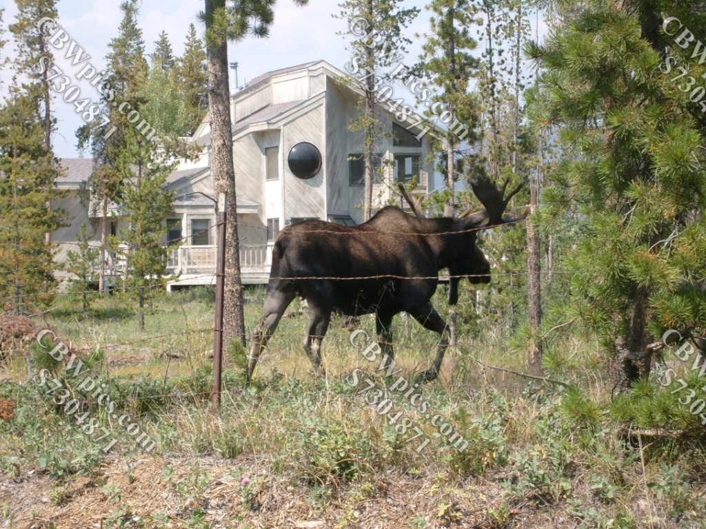
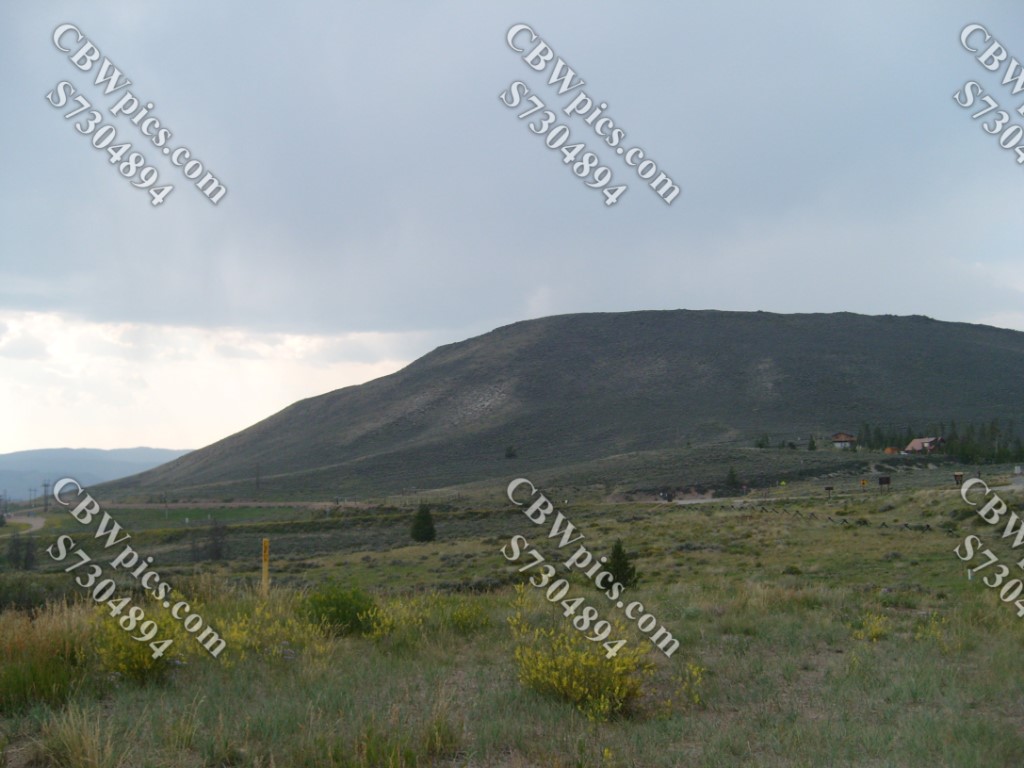
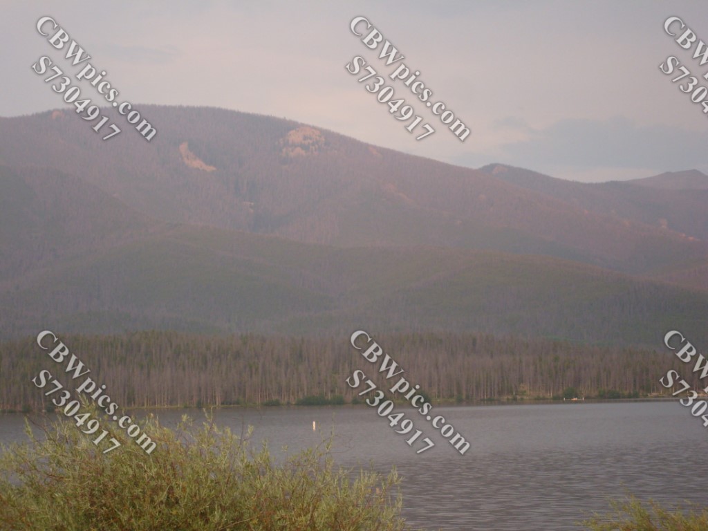
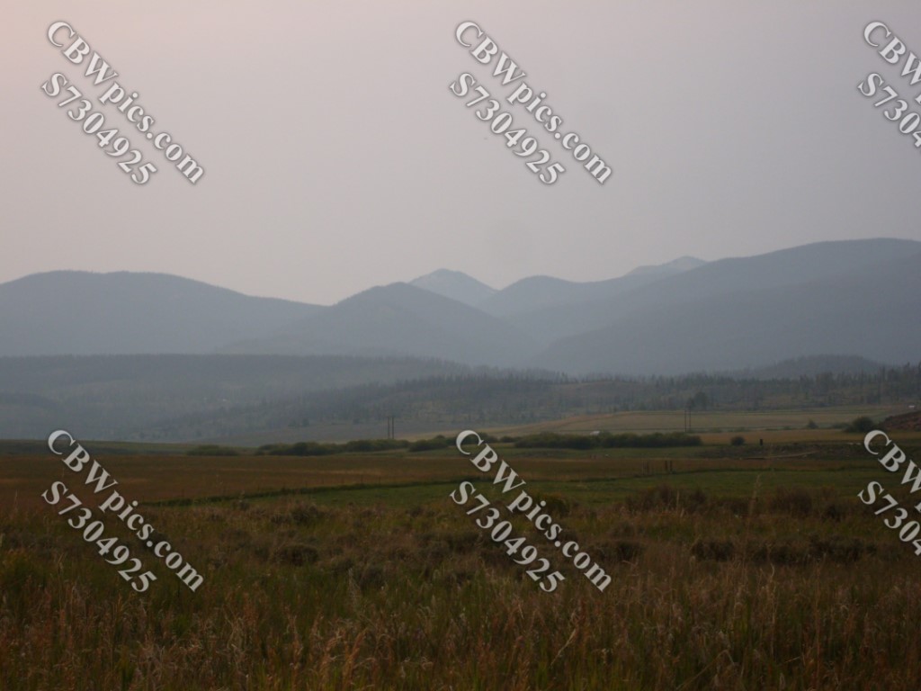
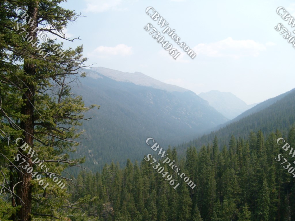
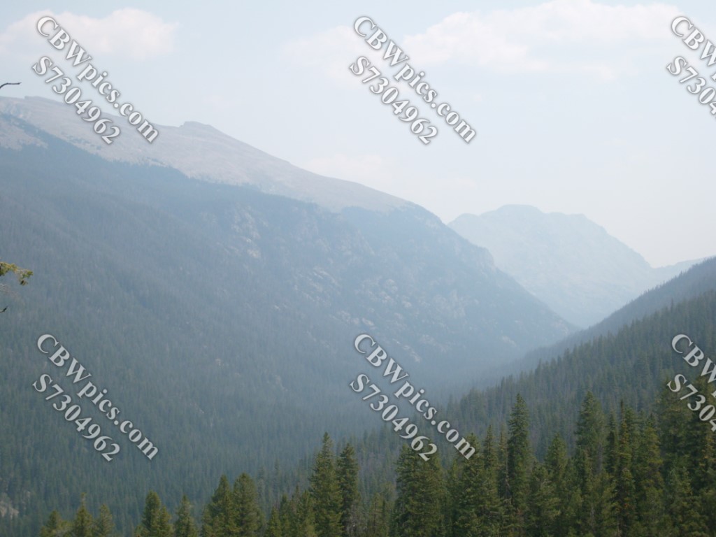
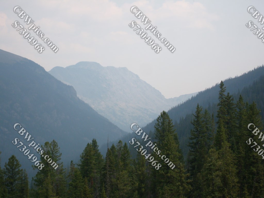
Grand County is located on the west (i.e. “back” or “less touristed”) side of Rocky Mountain National Park. It is home to the headwaters (that word makes me envision a guillotine victim being made into a fountain. Yecch!) of the Grand River, which also lent its name to the city of Grand Junction, Colorado. If you haven’t heard of the Grand River, there’s a good reason. Its name was changed about 100 years ago…to the Colorado River. Although, technically, the Rio Grande is also named Grand River, AND it also has its headwaters in Colorado. But that’s way the crap down south. We’re in northern Colorado right now, and I’m loving it! Check out this guy:
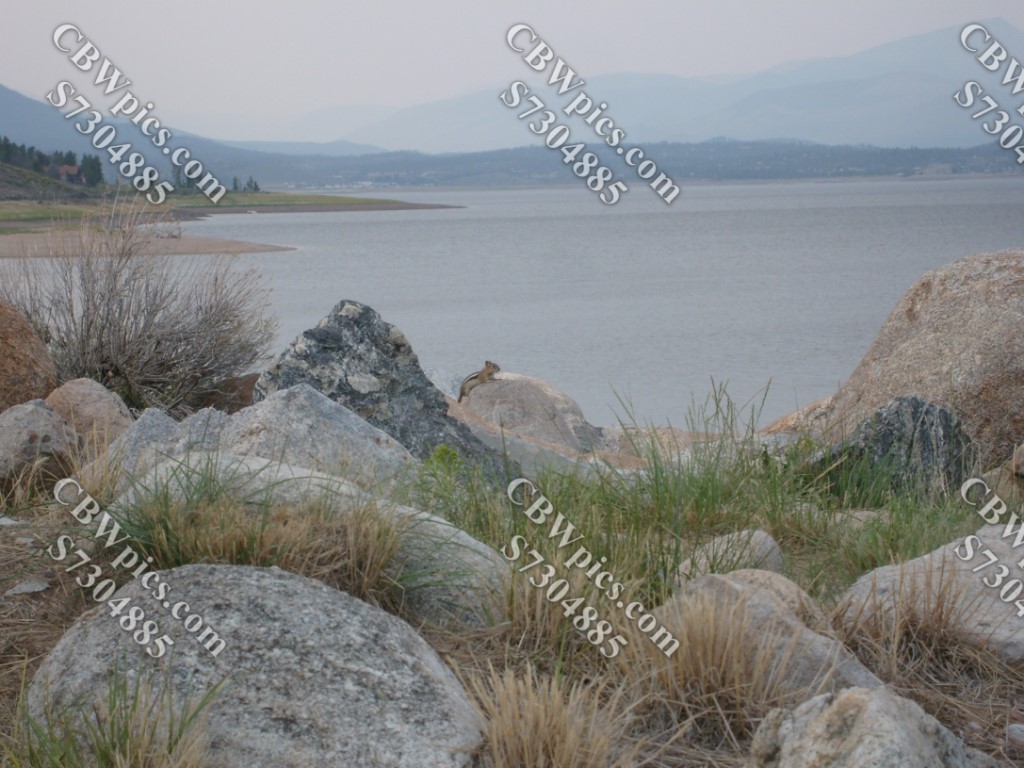
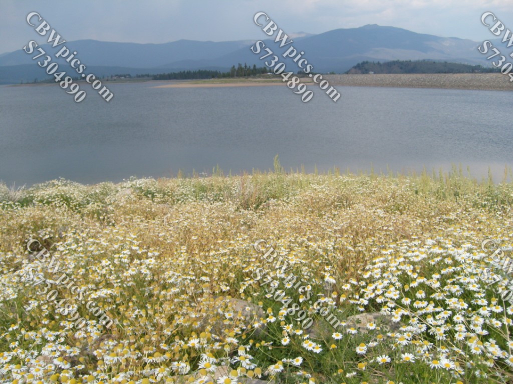
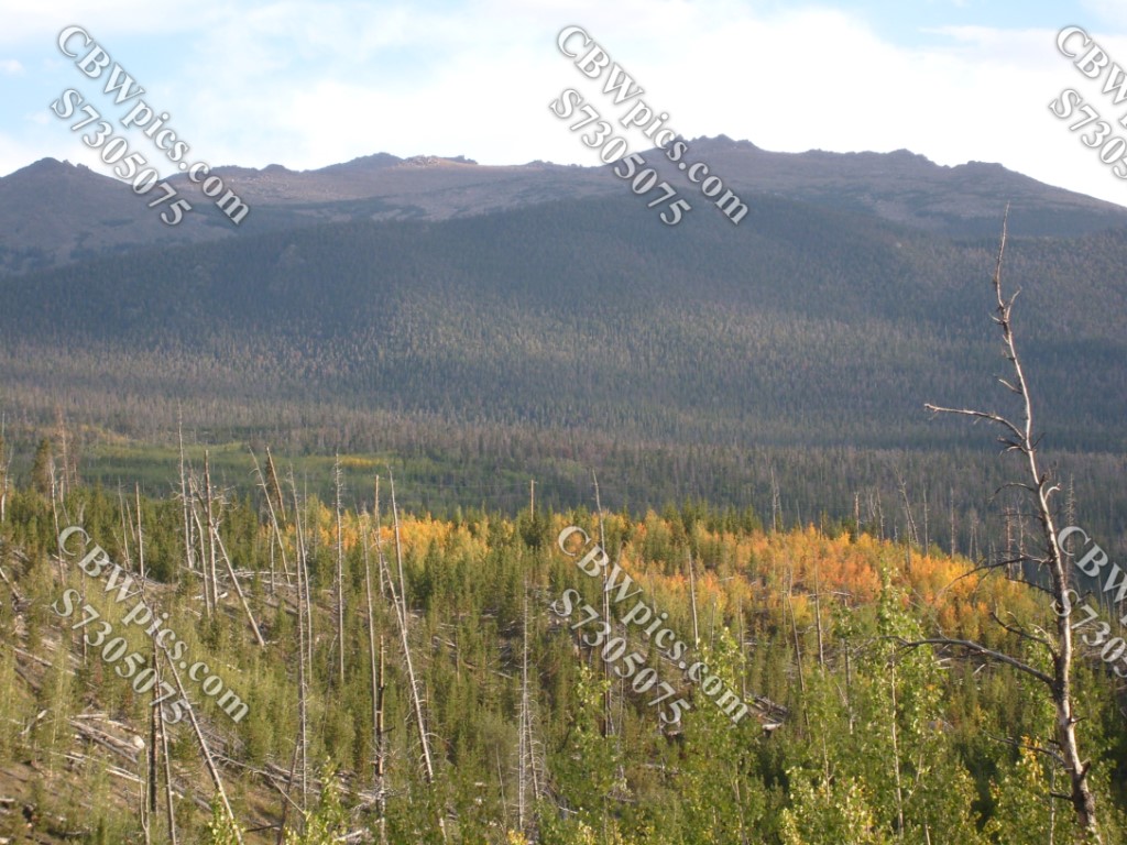
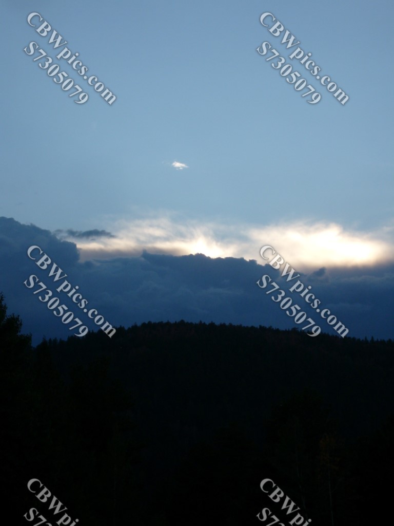
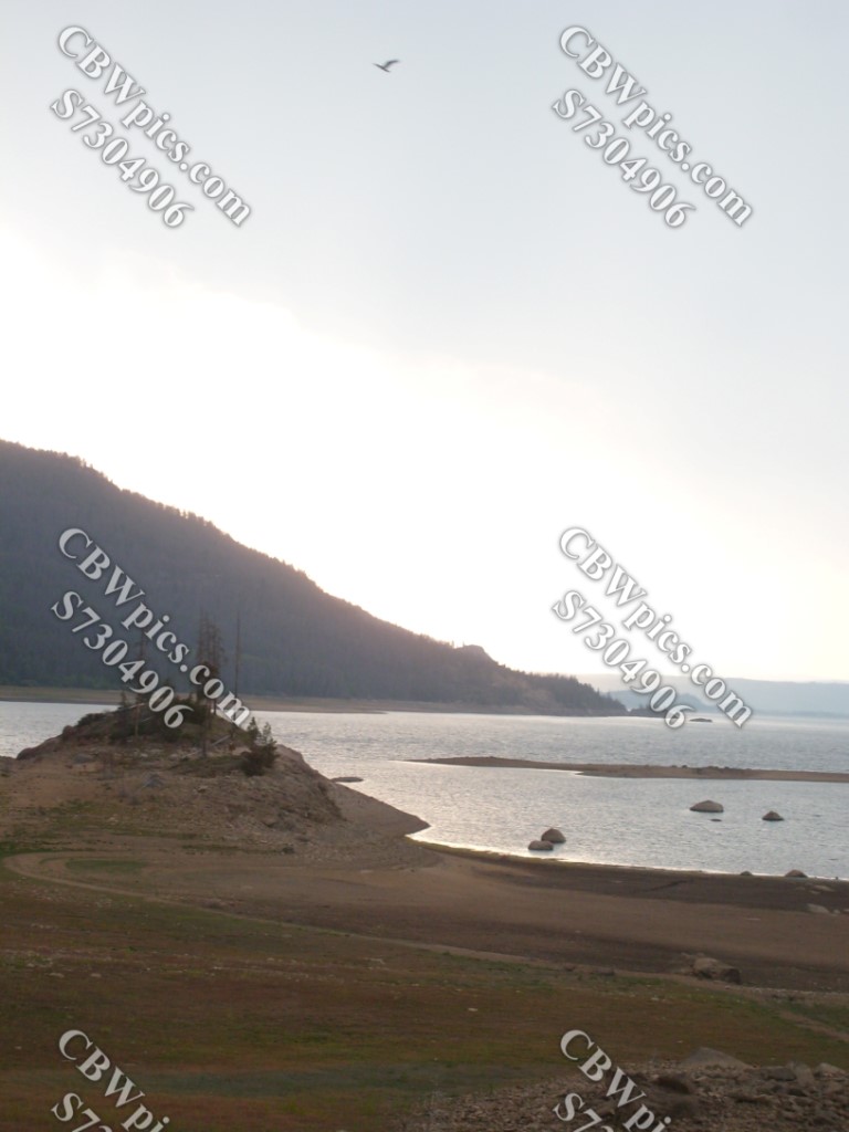
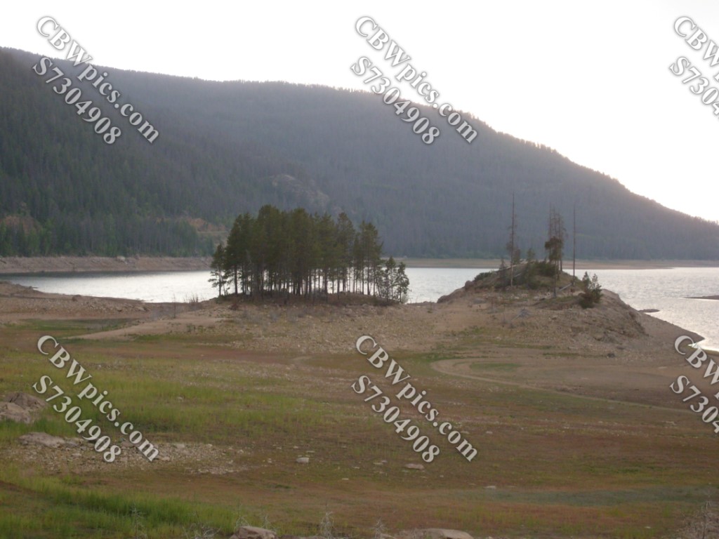
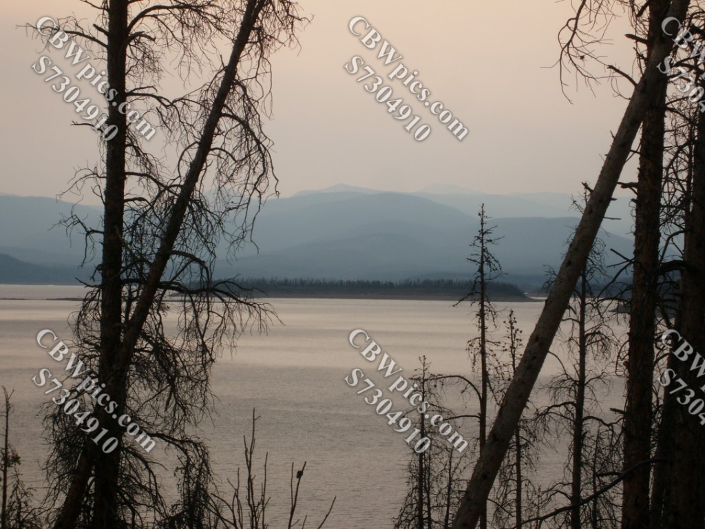
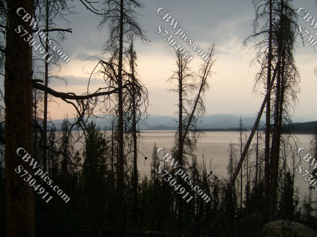
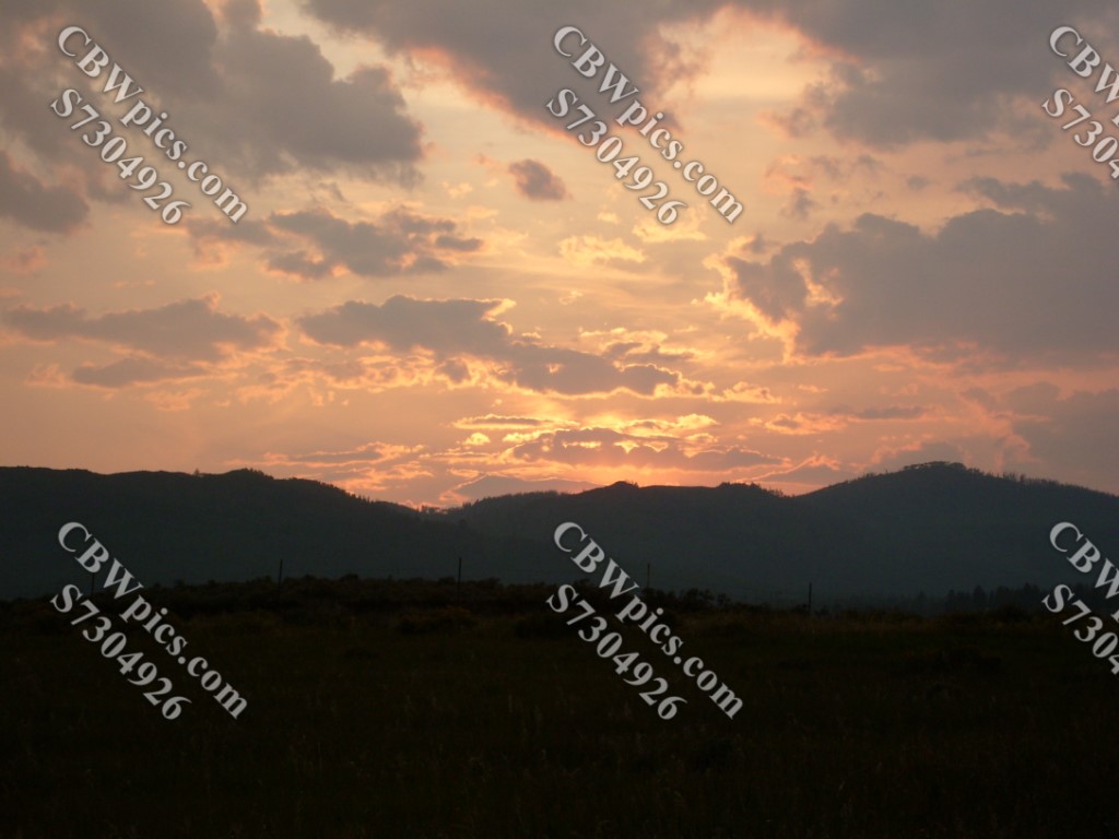
To finish this day trip, I headed for one of my favorite spots in Grand County: Monarch Lake. But surprisingly, this turned out to be one of those days when the sun eventually goes down. And sunset along the southeastern end of Lake Granby (and the nearby Shadow Mountain Reservoir) was unbelievable. Go ahead, see if you can believe it:

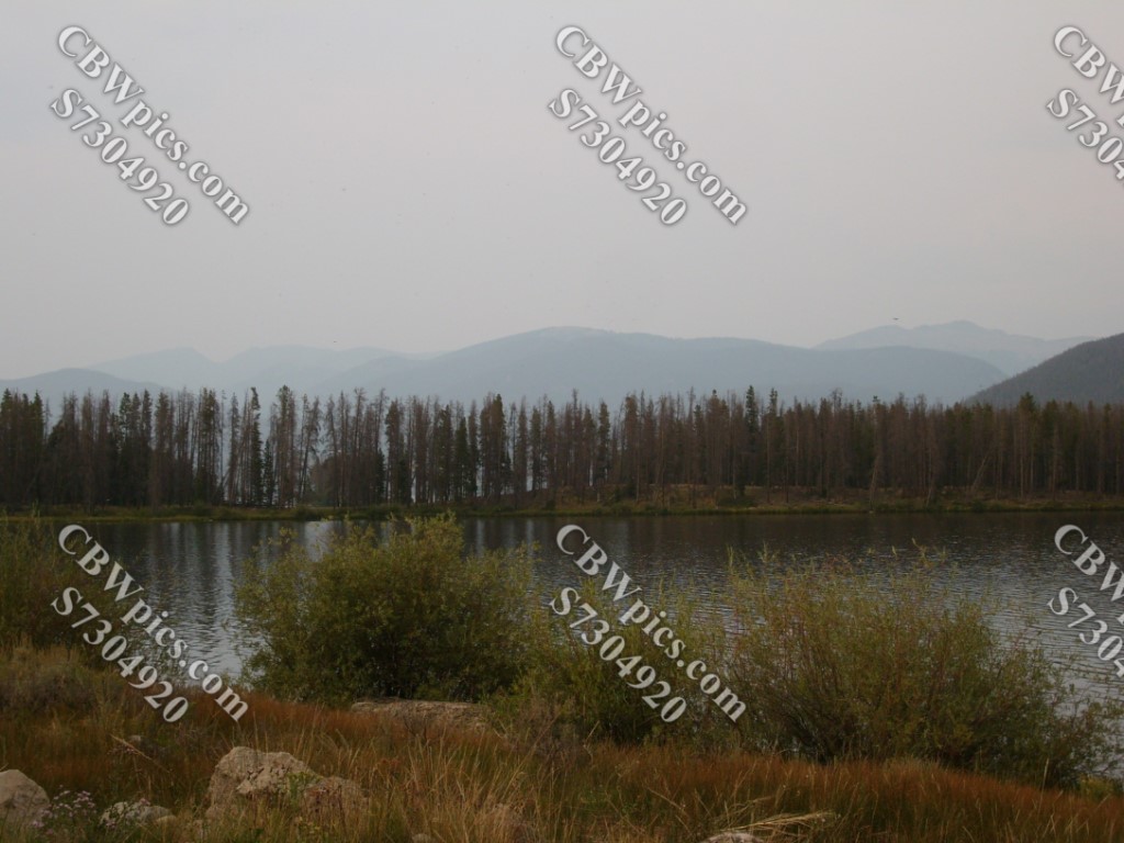
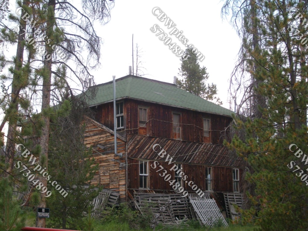
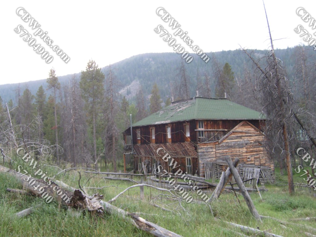
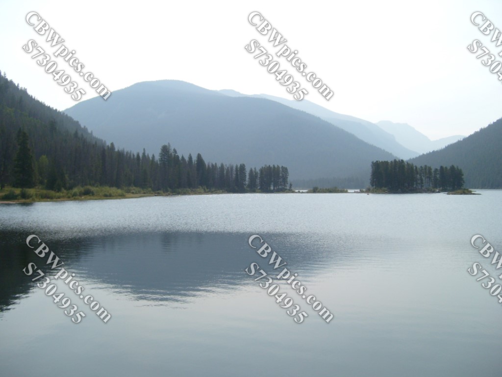
Since I had failed to reach Monarch Lake, I decided to try again a few days later. This time, I made it. Here’s a little backstory for ya:
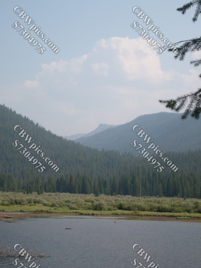
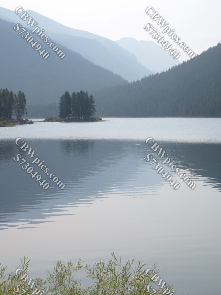
Located near the southwest corner of Rocky Mountain National Park (but not inside the park), Monarch Lake was created by a local logging company to float logs, and to generate hydroelectric power. While the logging company vanished over a hundred years ago, the dam still stands, and thus the lake is still there. But now its main purpose is just to look purty. And it’s damn good at its job! Take a look-see below:


NOW it’s time to say, “Gooooooooood night!” It looks like next week’s ThrowBack Thursday will take us on an in-depth tour of Blackhawk, Colorado. Incidentally, you can order prints or merchandise featuring the last photo above at my art store (CBWpics.com). If you’d like me to make any more of today’s pics available at my store, please let me know which one(s) you are interested in, and I will happily get ’em out there! So long!
