
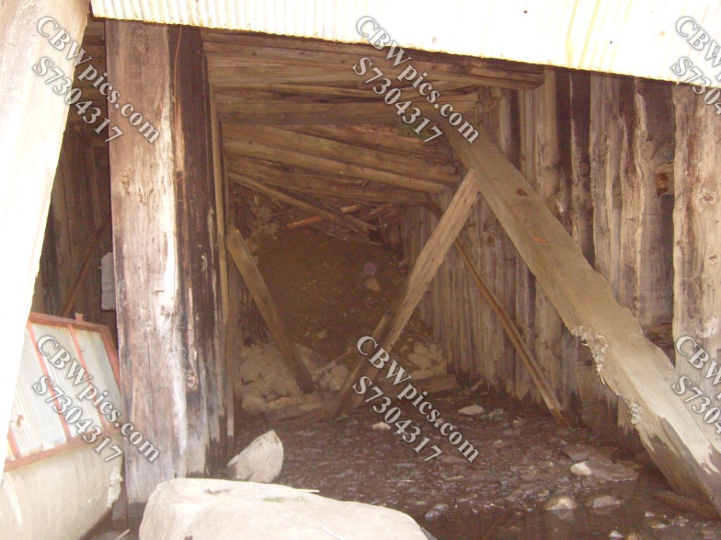
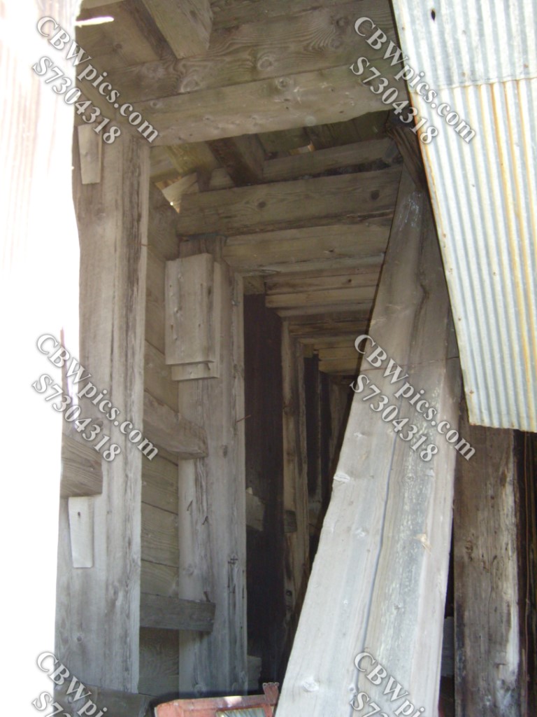
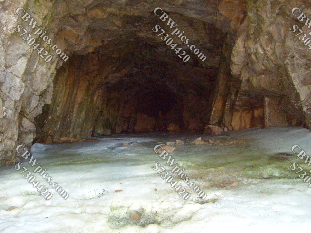
OMG! It’s that time again. Where do the Fridays through Wednesdays go? And why do they move so fast? We may never know. What I do know is that on Thursdays I am able to transport you, gentle readers, to other points in space and time. On this particular Thursday (that’s today, for those who aren’t keeping track), we are traveling back to June 2012 to hike the Hagerman Tunnel Trail. This trail leads to a railroad tunnel (completed in 1887), following the abandoned railroad grade for a good portion of the trip. This tunnel allowed trains to travel between Leadville and Aspen, Colorado. But it was abandoned a mere 12 years later. Y’see, Hagerman Tunnel was the highest railroad tunnel in the world when it was completed, at an elevation of 11,528 feet. Deep snow and/or high winds presented the Colorado Midland Railway with year-round difficulties, so it was replaced with a lower altitude tunnel in 1899. And that lower tunnel is where we begin today’s voyage.
The lower tunnel is nearly two miles long. It was originally named the Busk-Ivanhoe Tunnel, but has since been renamed Carlton Tunnel. It, too, has been abandoned by the railroad. It now serves as a water tunnel, routing water from western Colorado to the more heavily populated eastern part of the state.
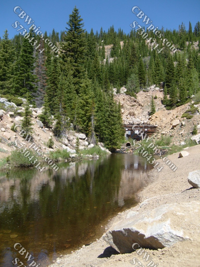

That wasn’t part of the hike. We actually have to drive a little further up the road from the lower tunnel to reach the actual trailhead. Okay, NOW we’re at the trailhead to begin our hike to the upper tunnel.
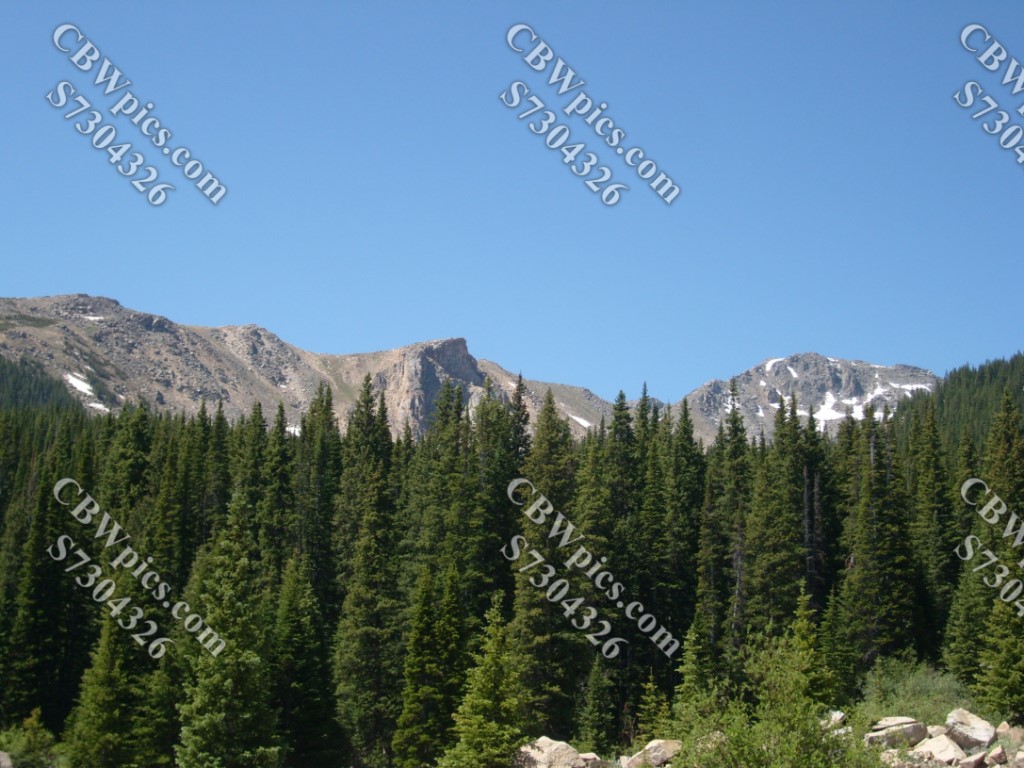
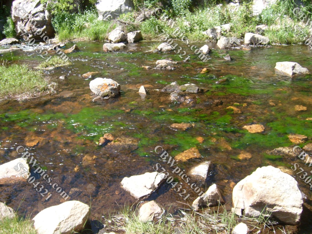
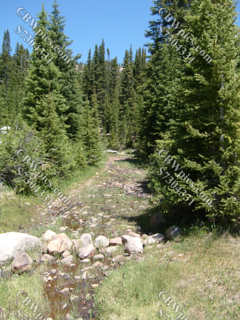
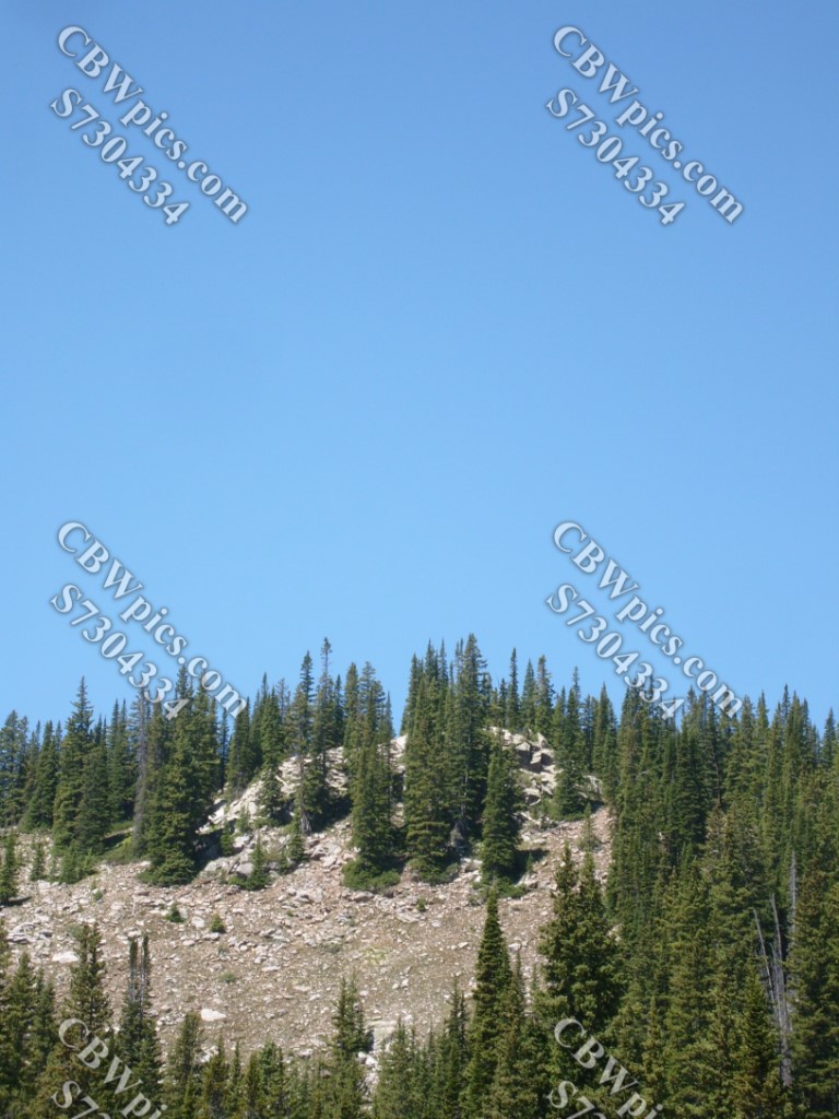
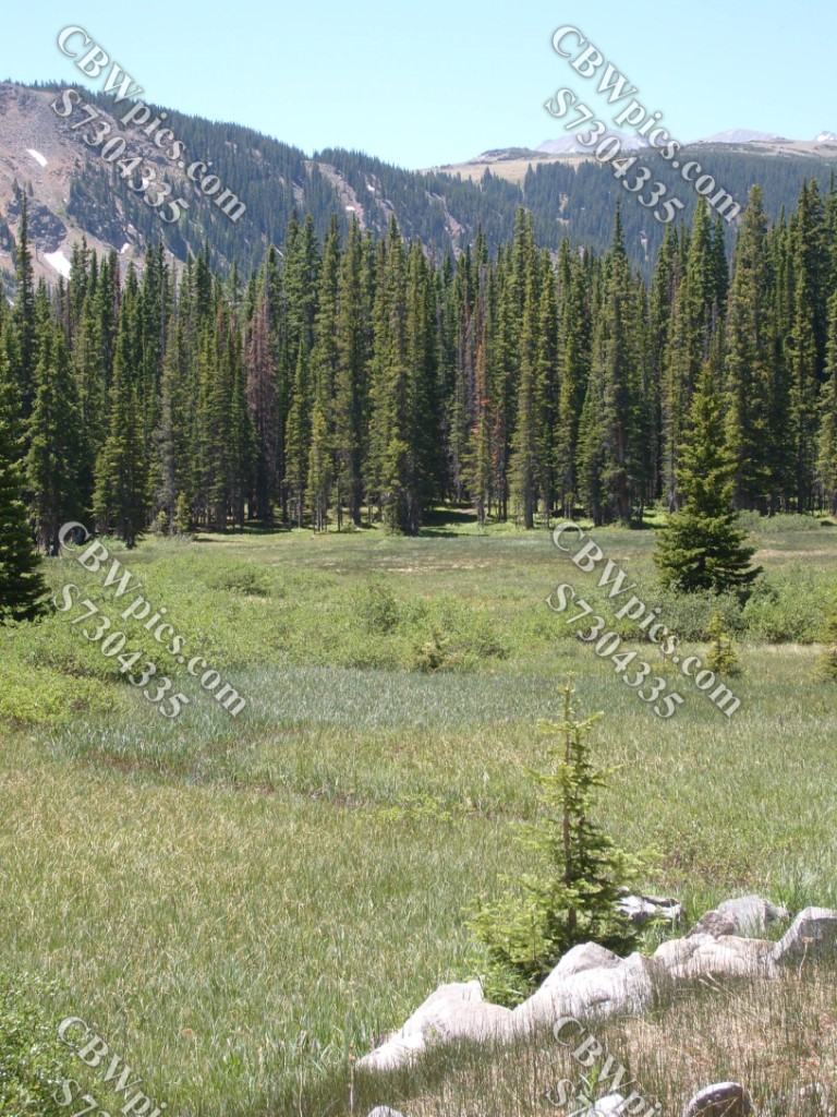
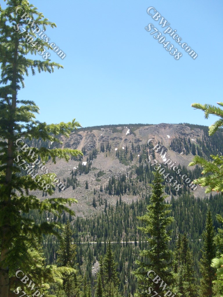
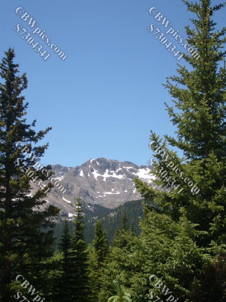
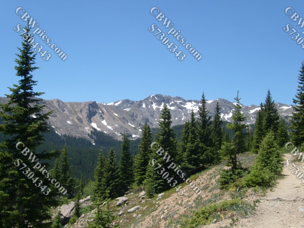
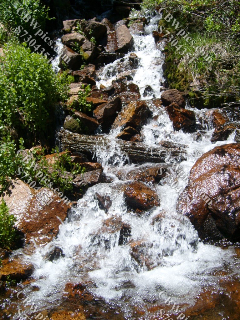
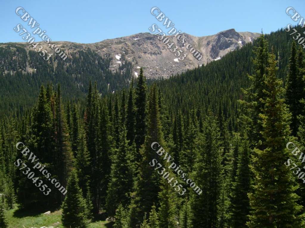
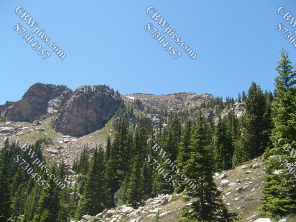
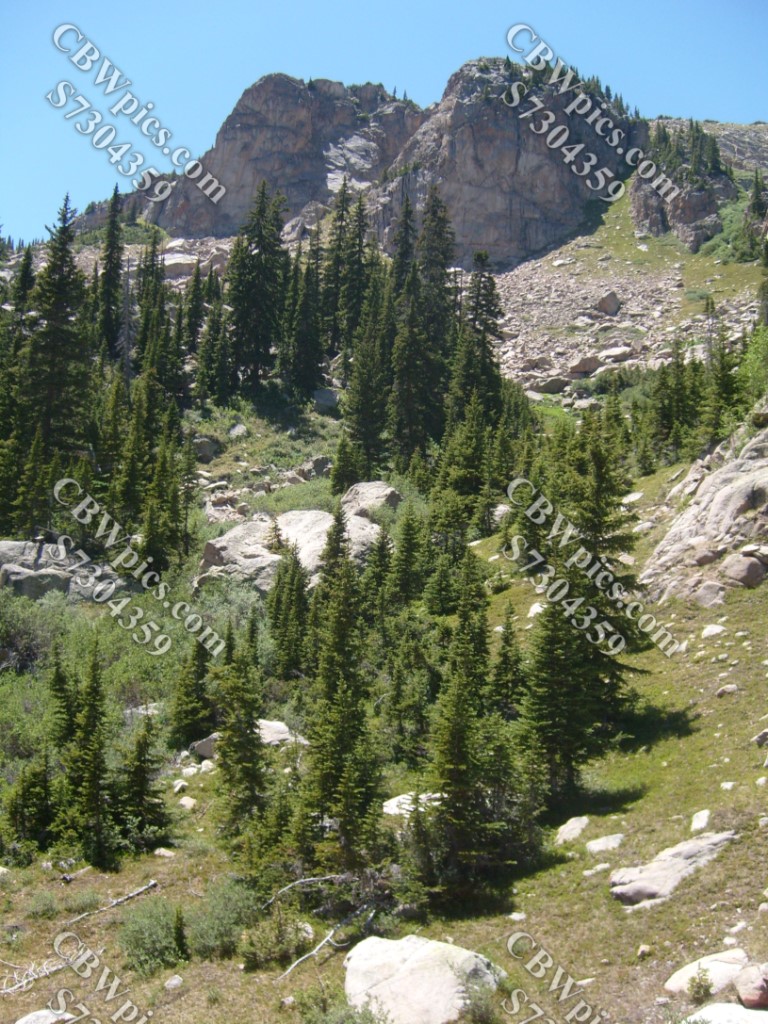
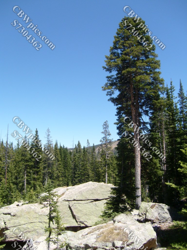
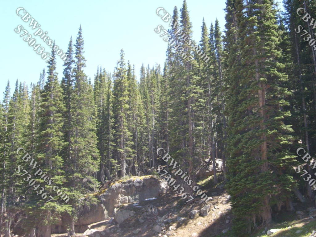
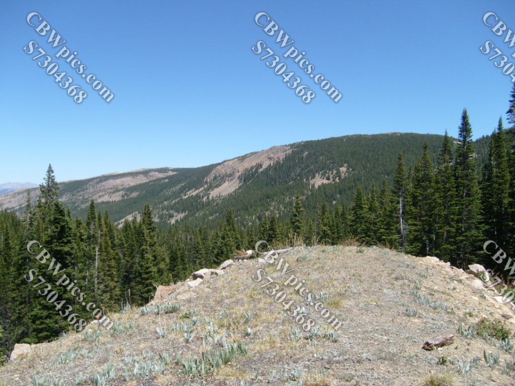
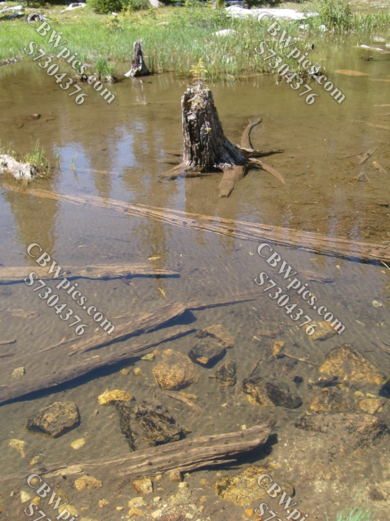
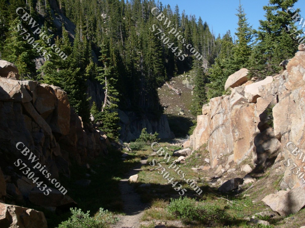
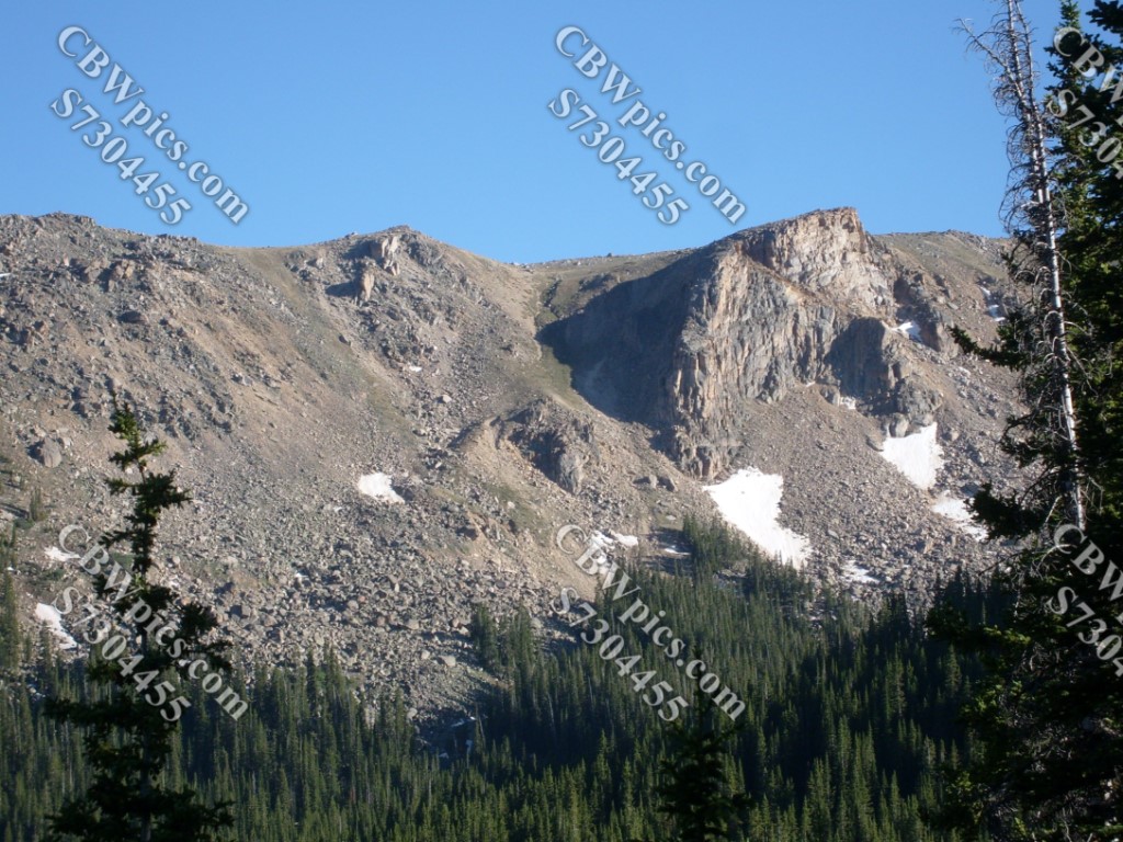
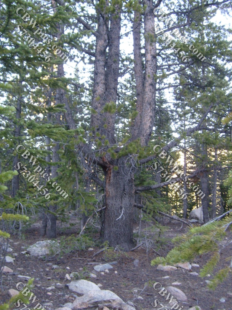
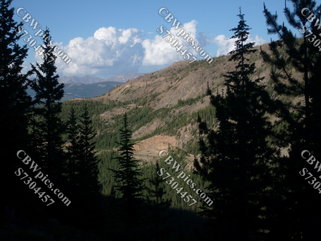
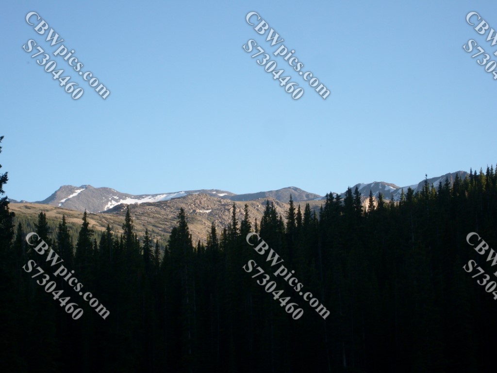
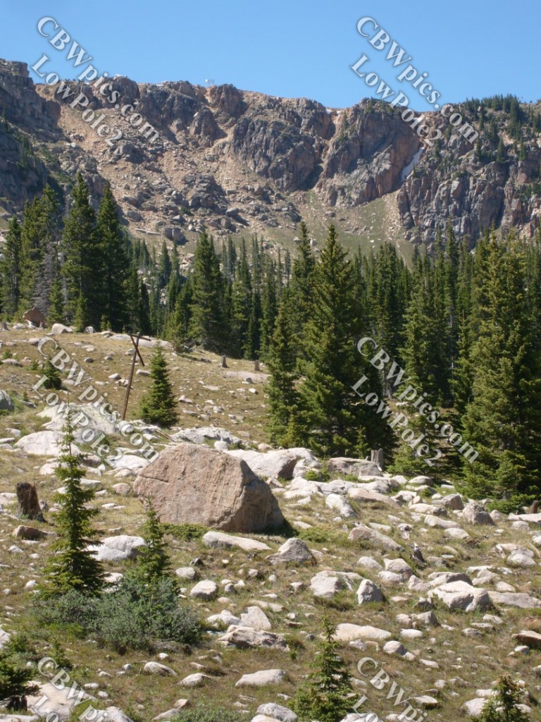
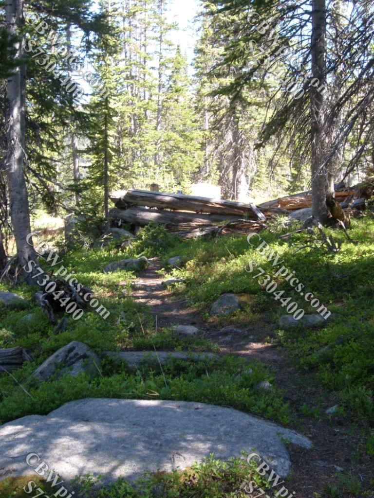
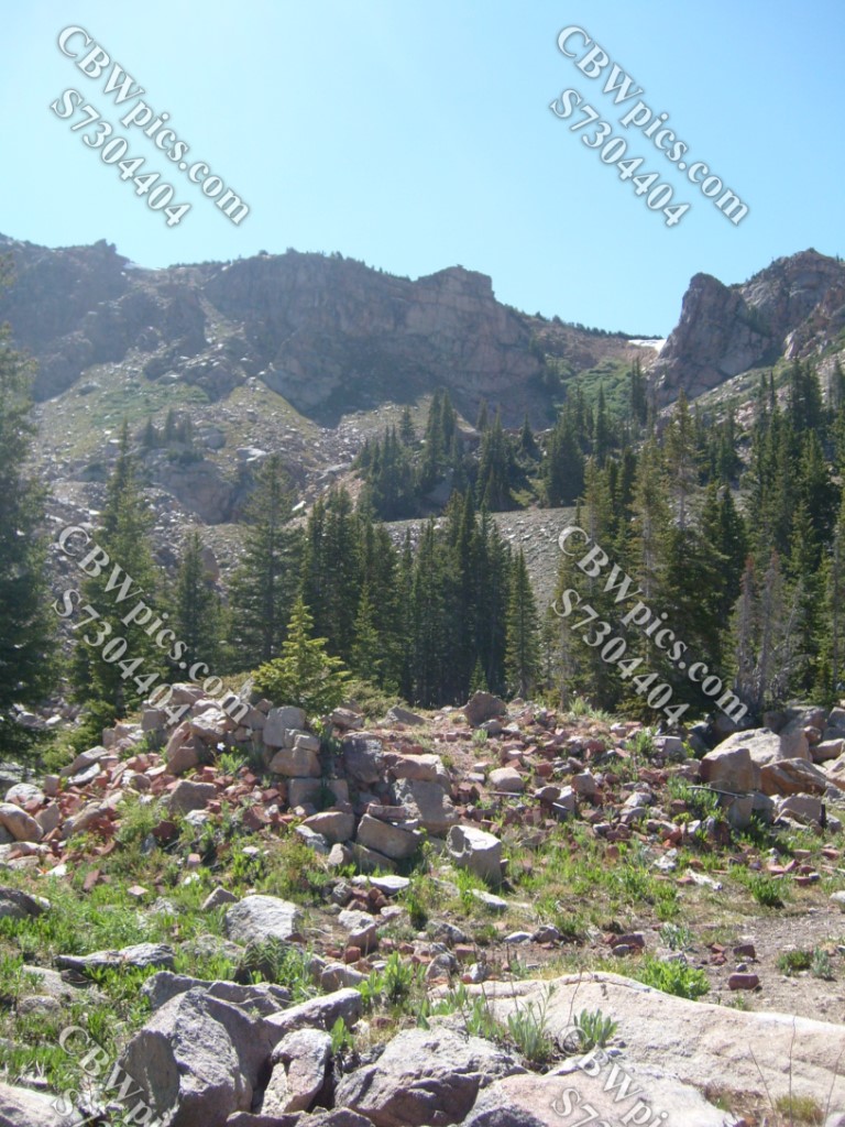
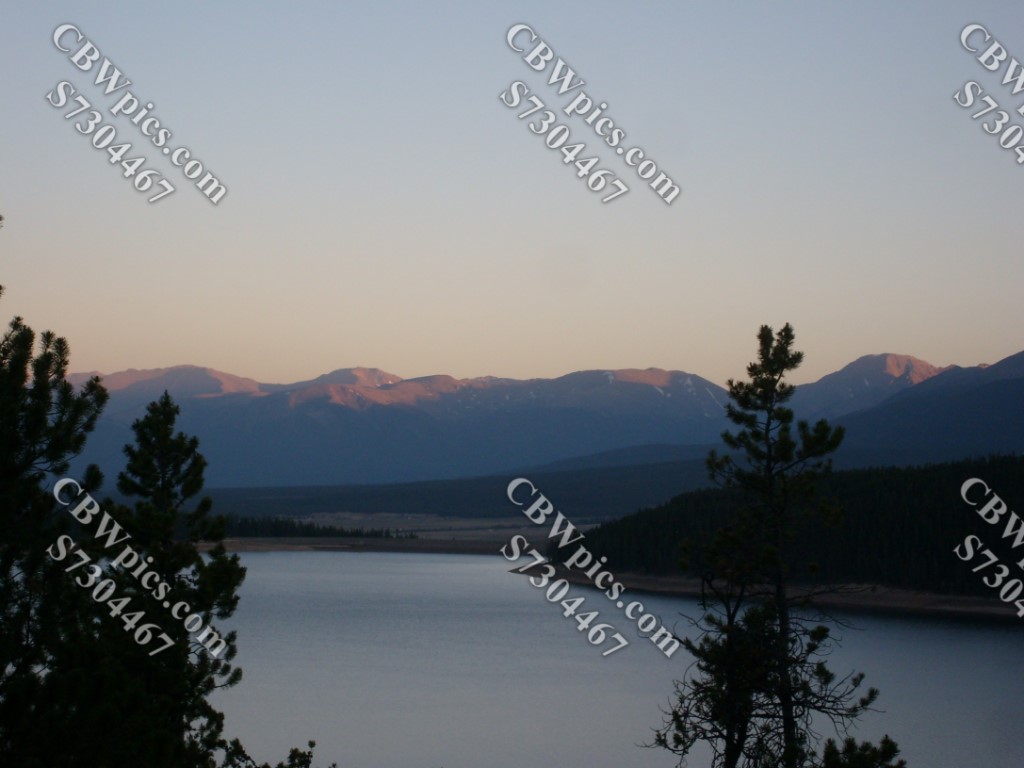
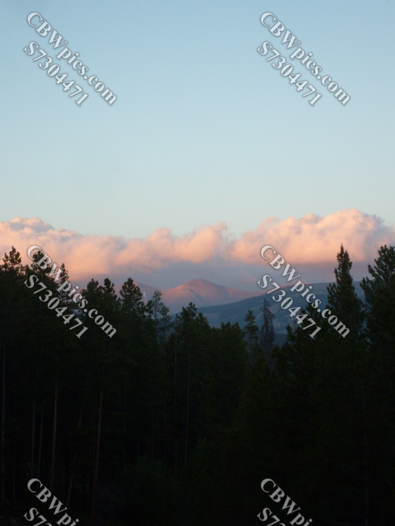
This is one of those hikes that I went on just for the history of it. I was pleasantly surprised when it turned out to be one of the most scenic hikes I’ve ever done! So, I have no captions or comments for this next set of pictures. Just relax and enjoy the views…

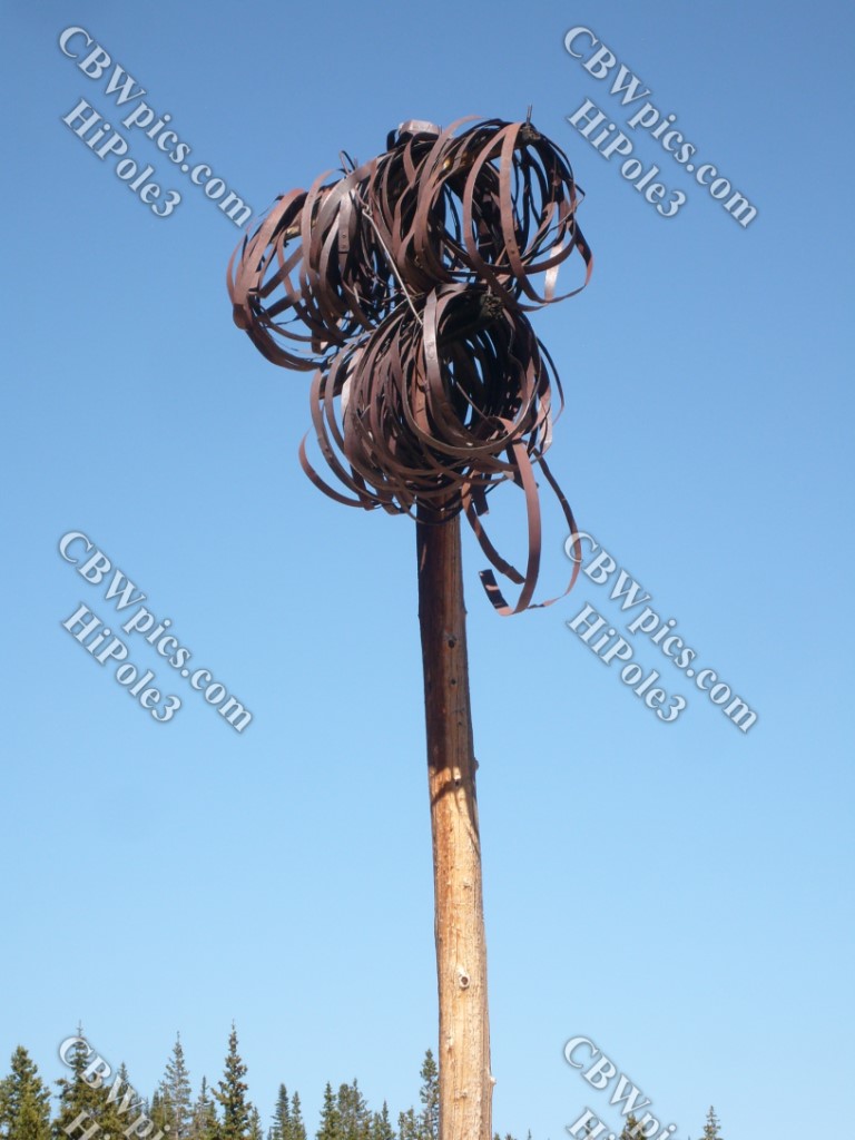
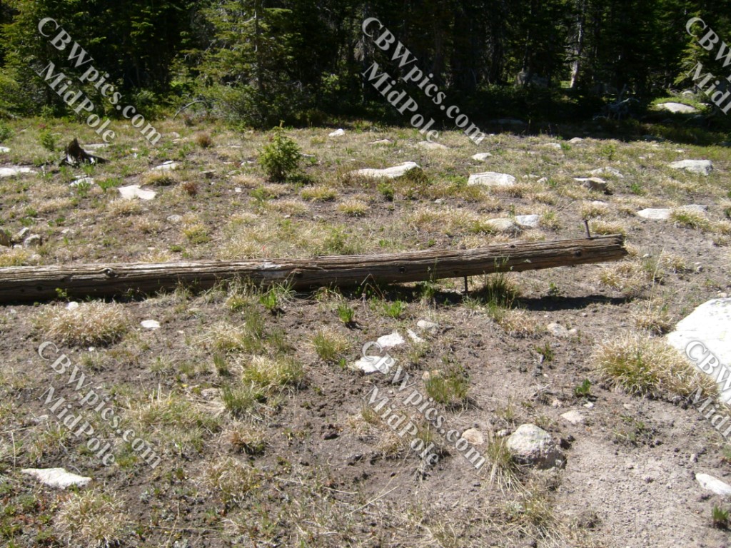
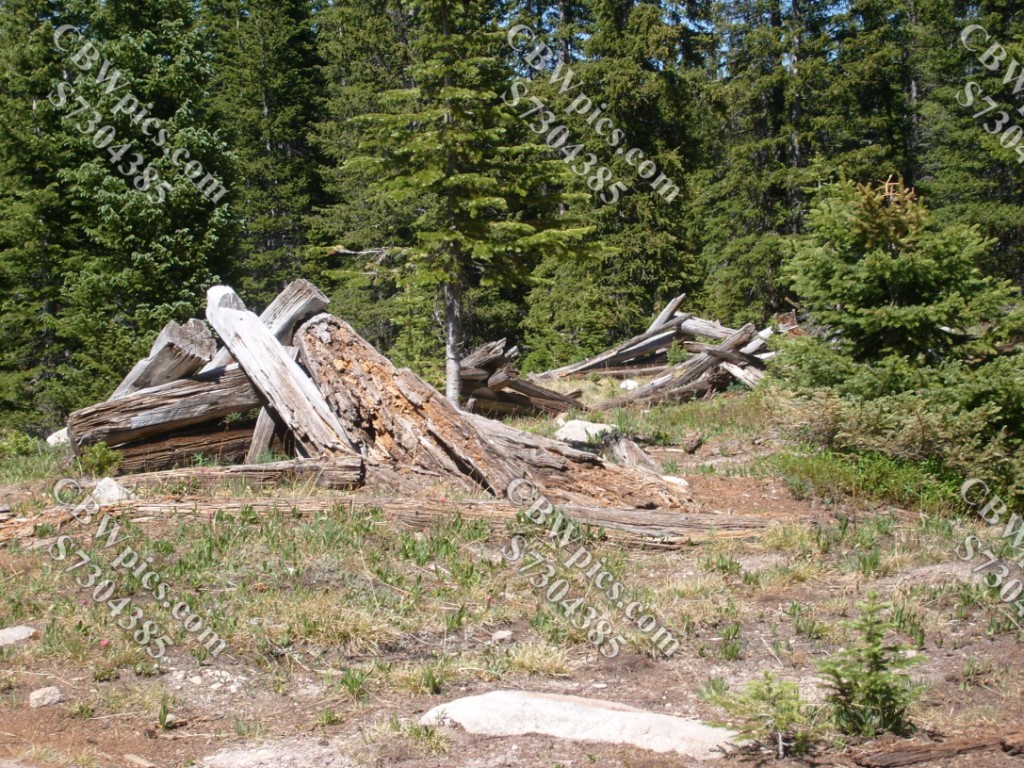
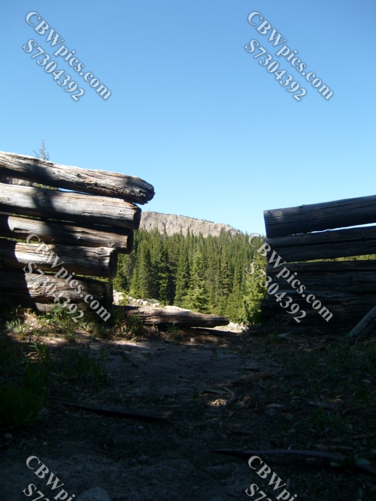
Alrighty, folks, we are about to begin encountering historic remnants. Resuming interpretive captions in five…four…three…

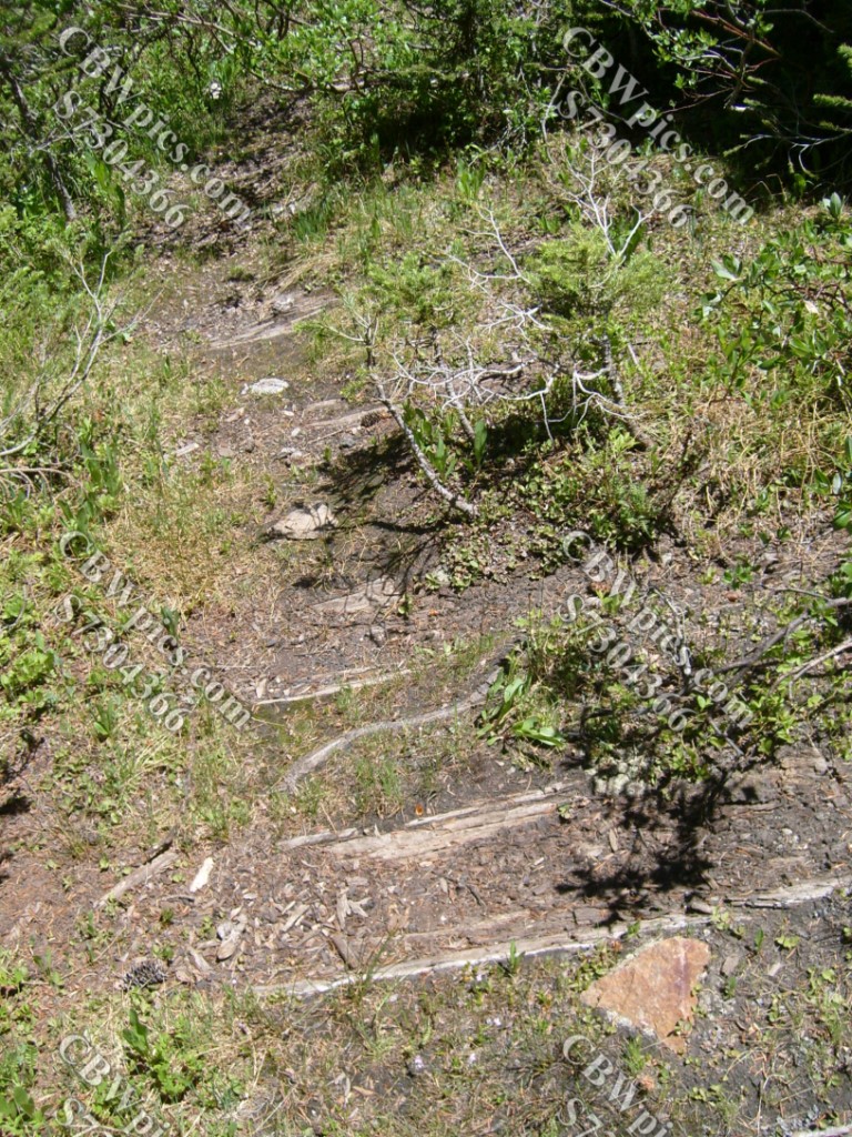
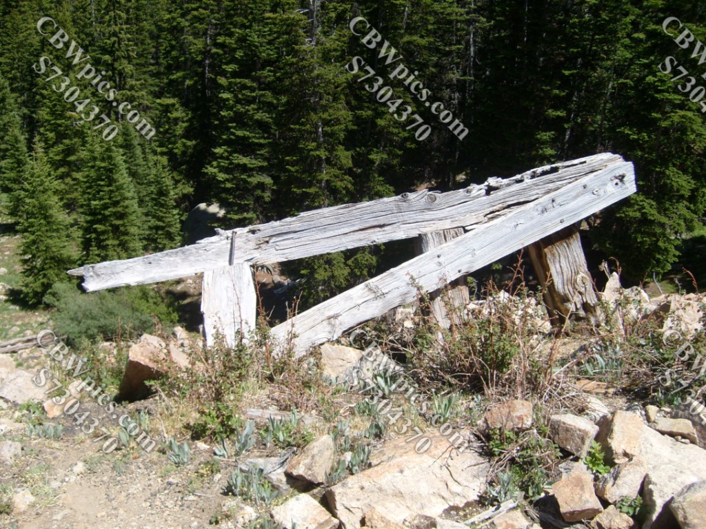


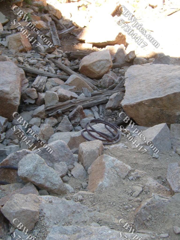

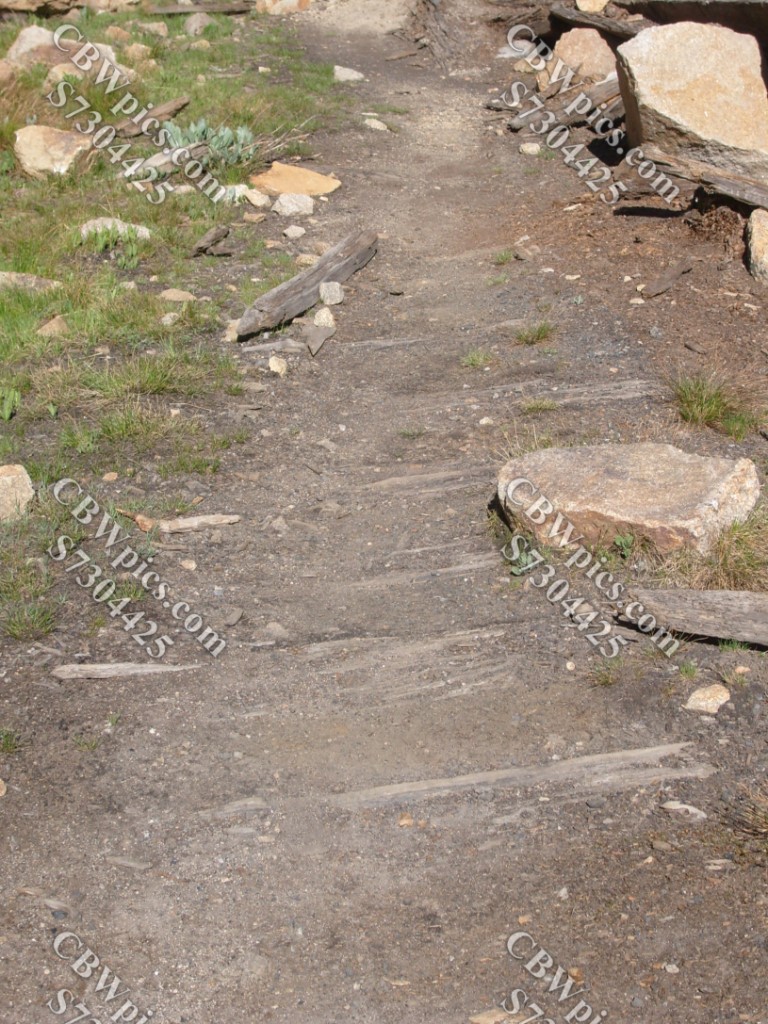

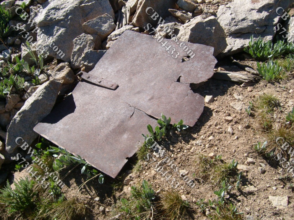


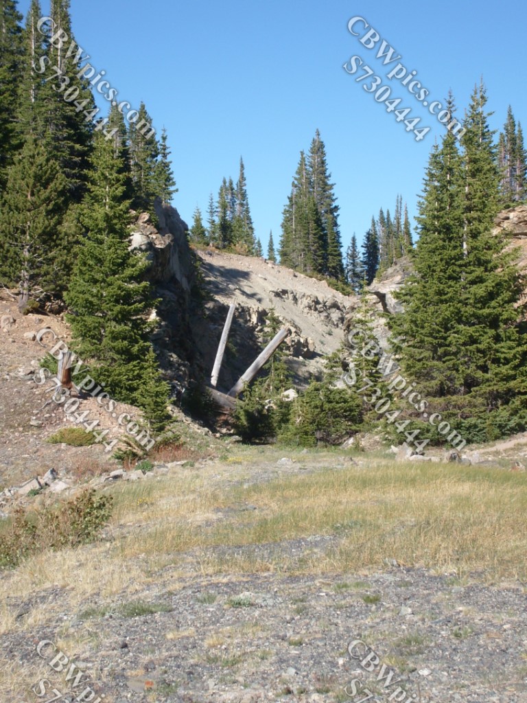

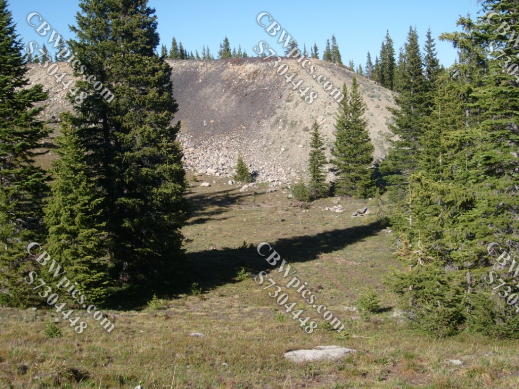

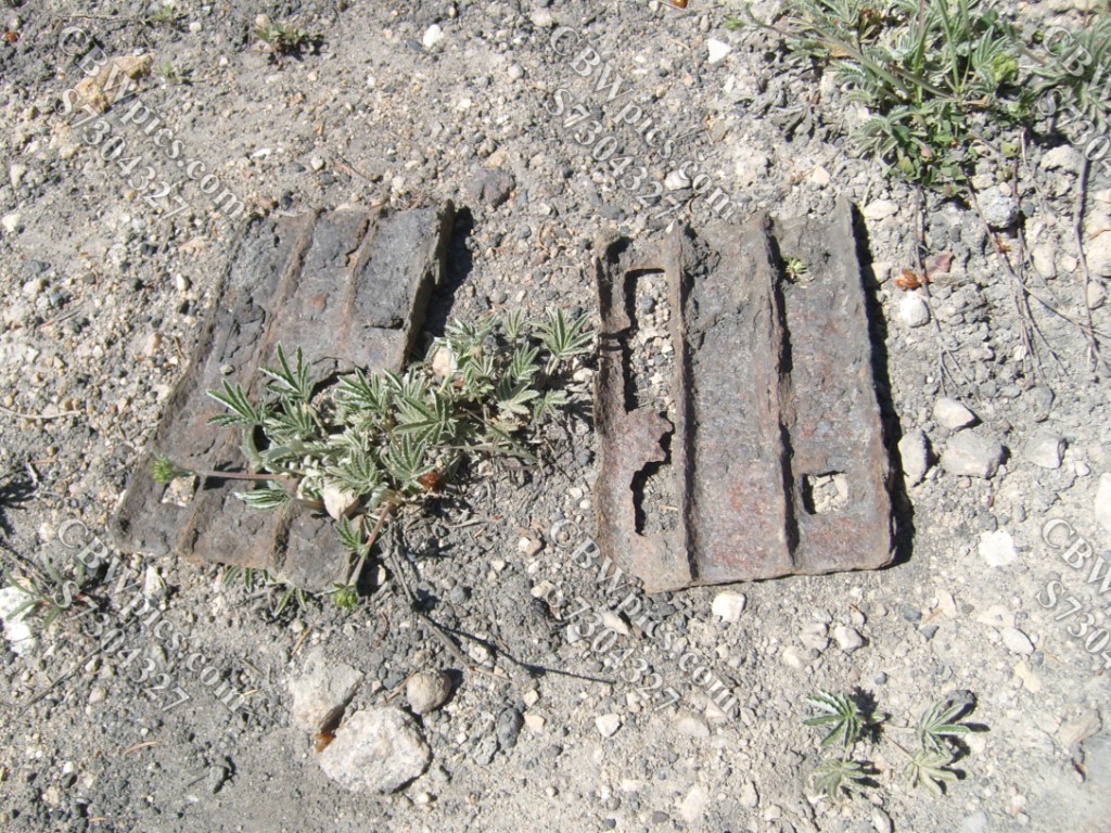
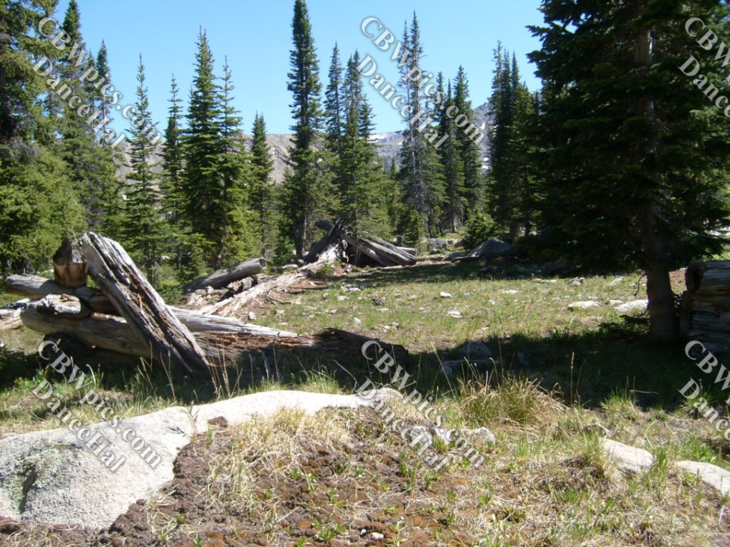
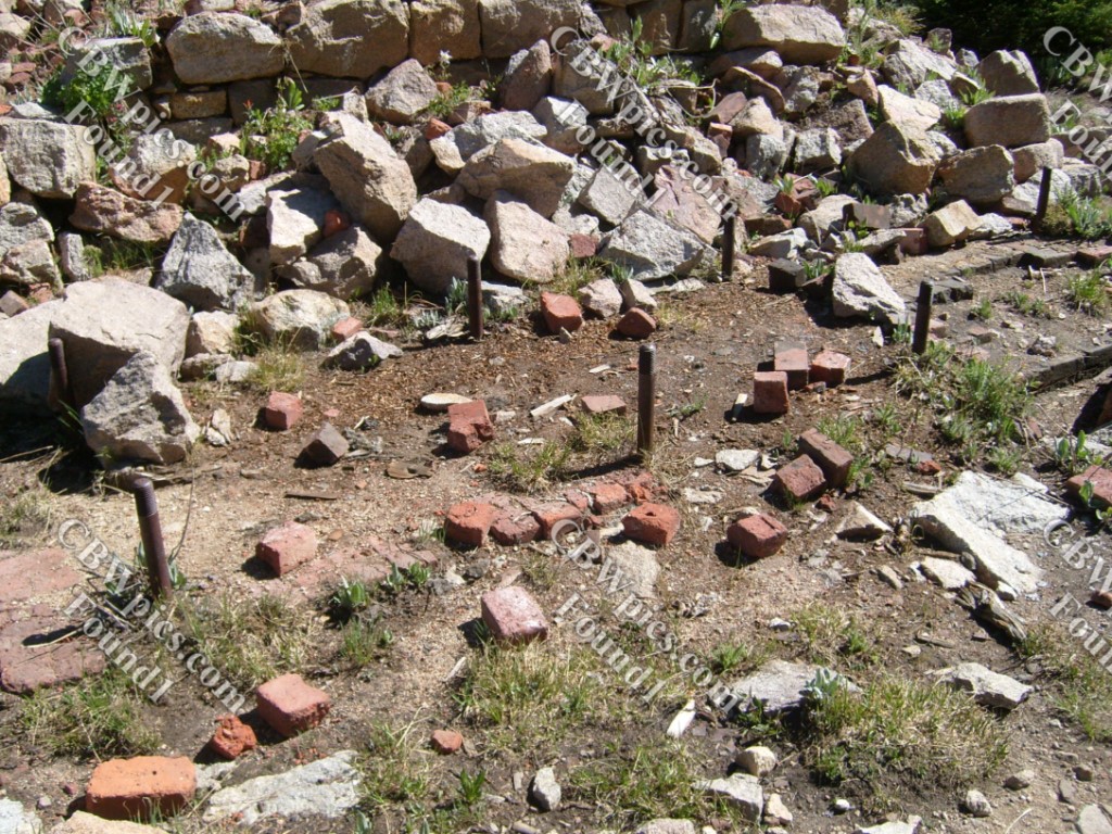
On the way up to Hagerman Tunnel, the trail leaves the railroad grade for a while and travels up an old wagon road. The wagon road goes through the remains of Douglass City, a town built specifically to house the workers who built this railroad. Here’s some of what was left in June 2012:


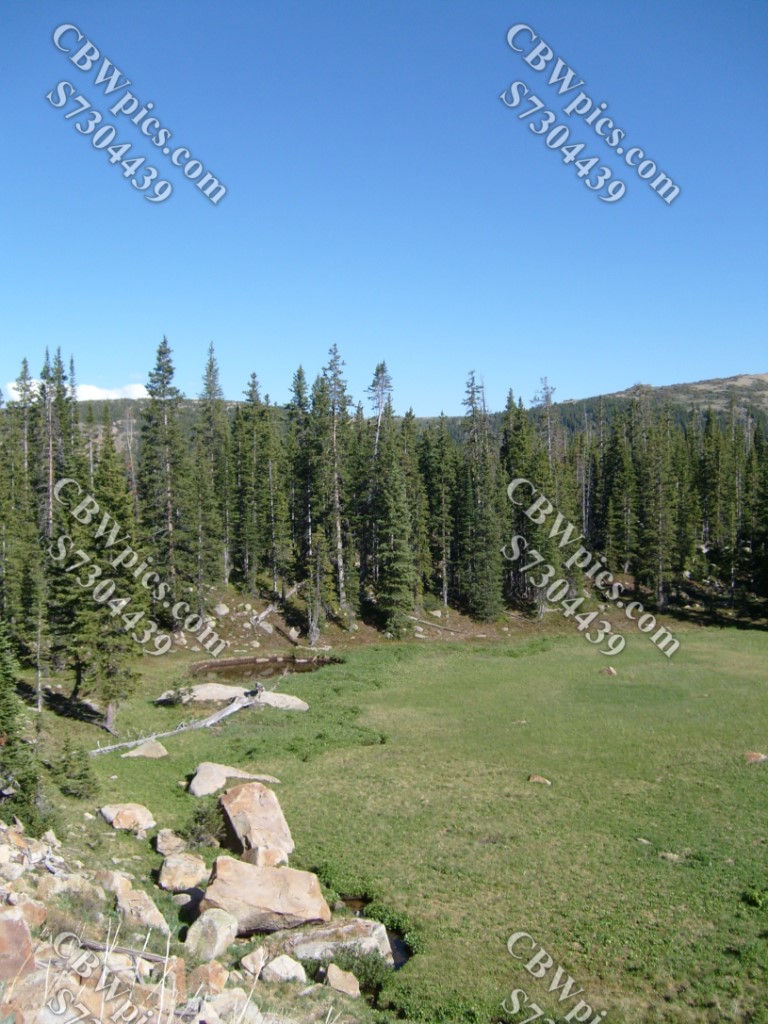
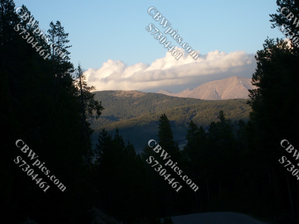
The next few pics were taken after the hike, at Turquoise Lake, just west of Leadville. Once again, I have no comments and/or wise-ass remarks, so just enjoy the scenery:


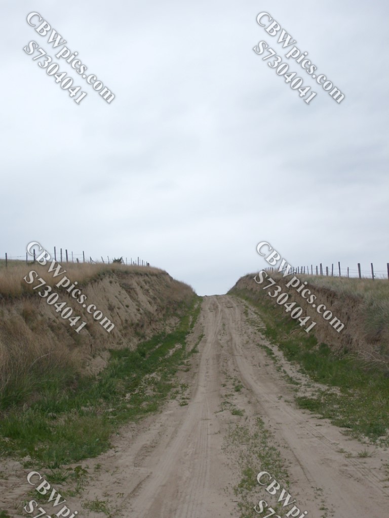
Whew! What a day! But we’re not through yet. Let’s go back another month, to May of 2012, and take a road trip across the western Great Plains! On this occasion, I was driving home from Kearney, Nebraska to Lakewood, Colorado. I decided at the spur of the moment to “take the long way home”, that being US Highways 30 and 138, rather than the interstate highways that run parallel to them. I took these pictures of interestin’ stuff I saw along the way. I also took pictures of SEVERAL historical markers. If any of you would like to read all the historical markers, let me know, and I can send ya those pics. Now, without further ado, let’s hit the road!
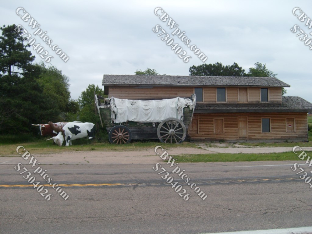


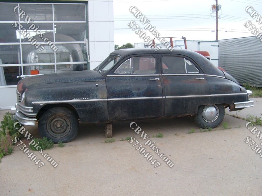
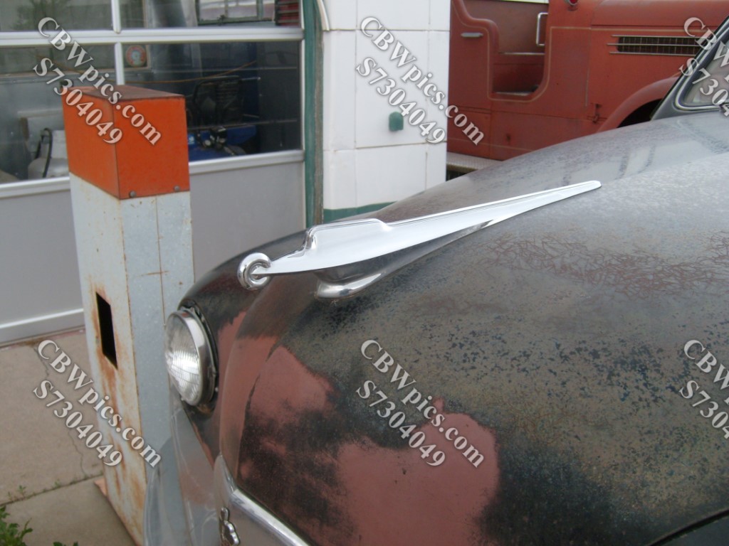
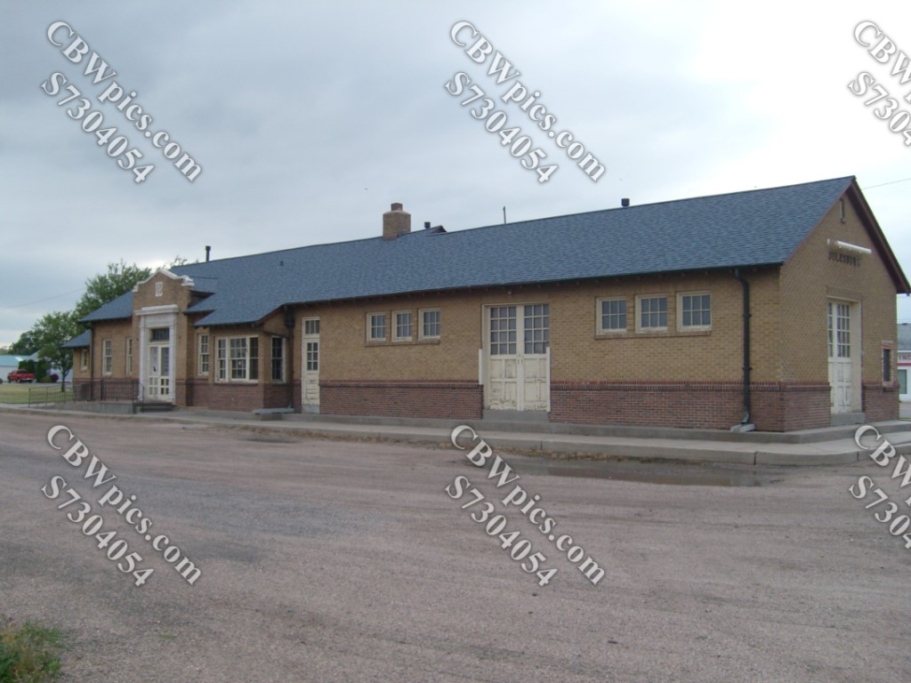
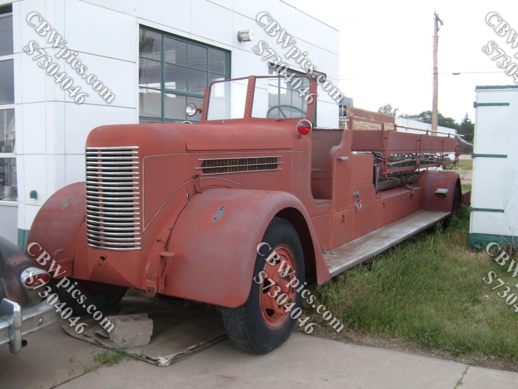
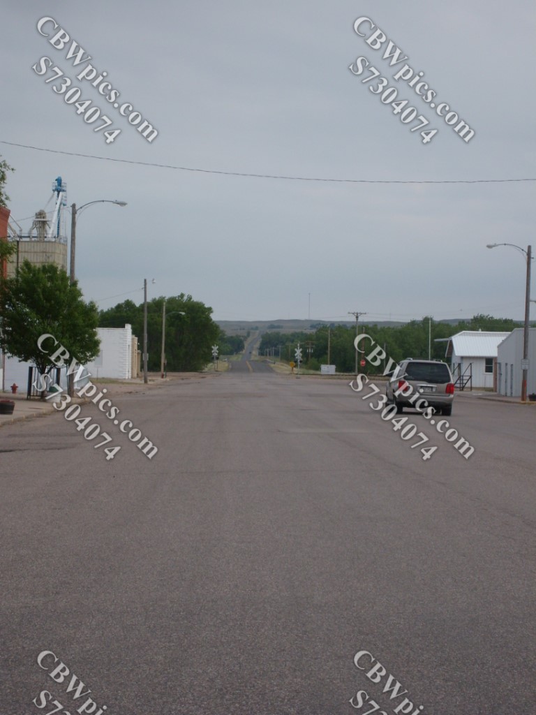
Now, we switch from Highway 30 to Highway 138, and almost immediately cross the state boundary into Colorado. One measly mile from the border, situated squarely in what a geographer would have to call Nebraska’s Armpit (seriously, look at it on a map), we arrive at the Colorado town of Julesburg. The 2020 Census claimed there were 1,307 people living in Julesburg, but the stretch of Highway 138 that serves as the town’s (apparent) main drag has the feel of a ghost town. Take a look:


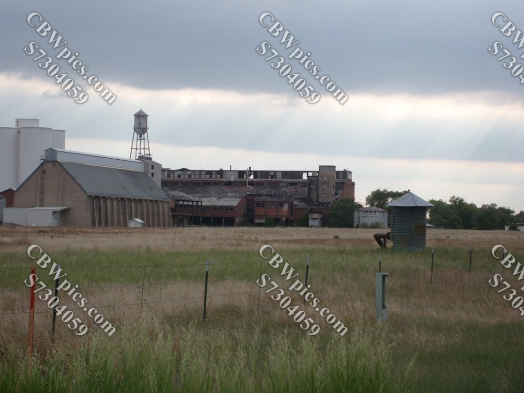
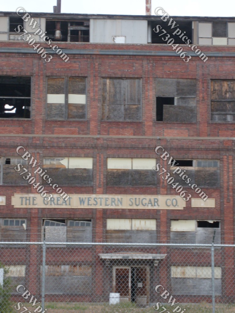
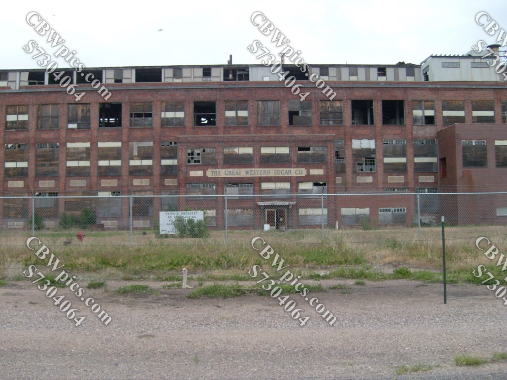
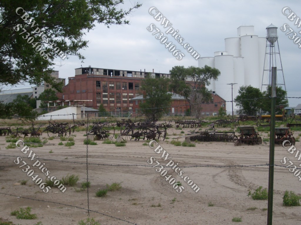
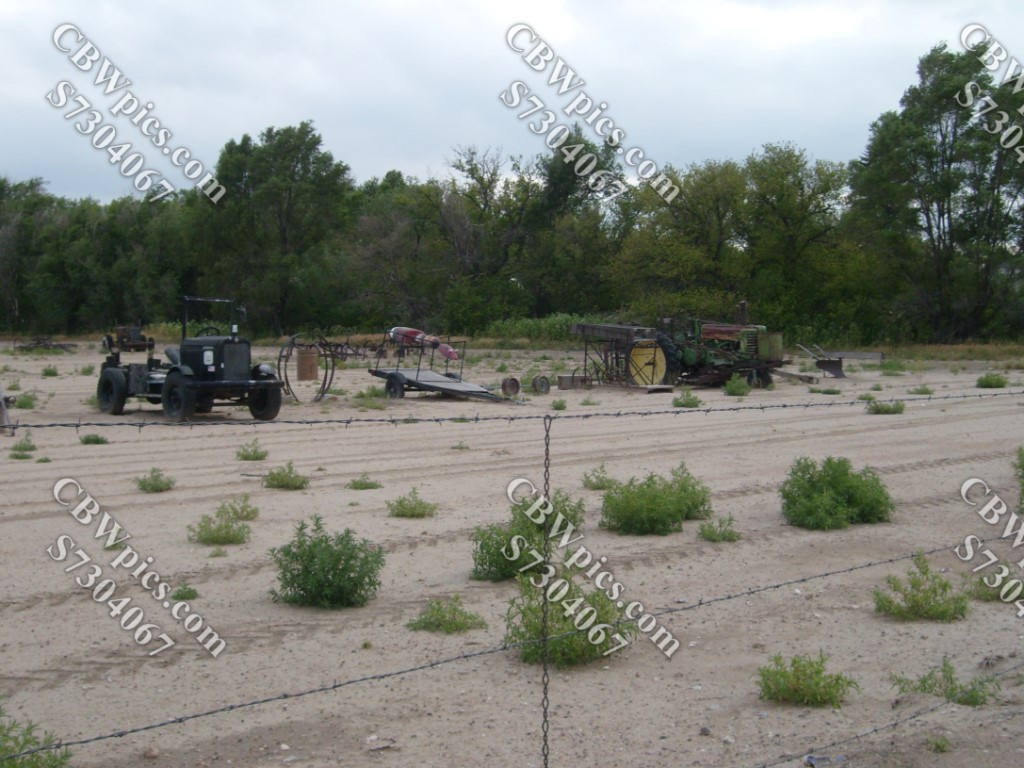
Leaving Julesburg behind, we continue to the town of Ovid, where we find a huge, abandoned sugar mill. Everybody knows that sugar comes from sugar cane, which can only grow in warmer, wetter climates than northeast Colorado. But before it became economically viable to haul sugar all over the country, sugar had to come from more local sources. Enter the sugar beet! Well, no, don’t actually enter it. You probably won’t fit. Ahem…The sugar beet does well in the northeastern Colorado climate, and so, many farmers in the area grew sugar beets for many years. Accordingly, large sugar mills were built in Fort Collins, Greeley, Loveland, Longmont, and even right here in little old Ovid. All of them have been abandoned, but most are still standing. Let’s take a look at the old Ovid facility:


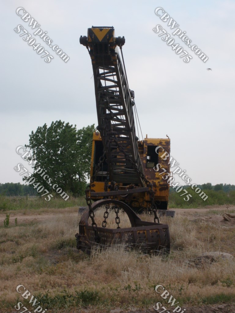
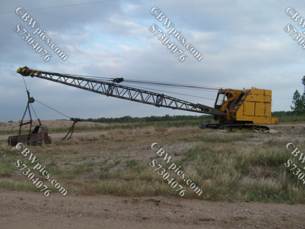
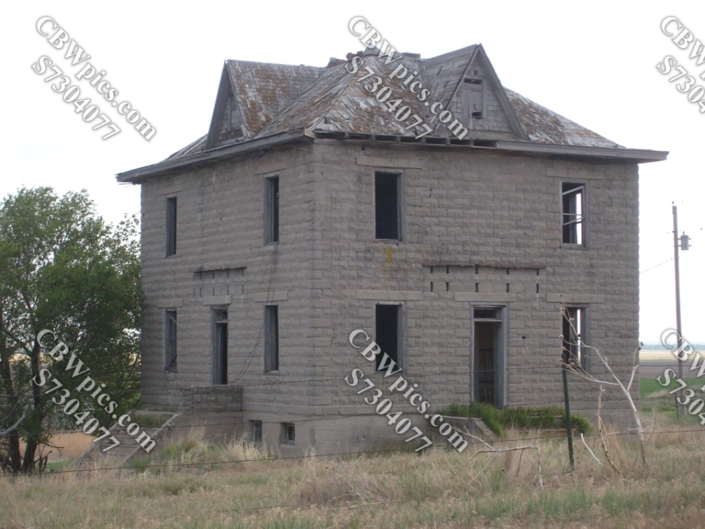
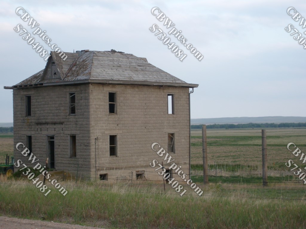
There’s not much daylight left now. (Wait, didn’t the sun already set once today?) Let’s head outta Ovid and see whatever we can see before it gets dark…


Now that the sun has set (again), let’s call it a day. Thanks for joining in the fun today, and I hope you’ll be back next week for a hike in Apex Park and another at Devil’s Head. Ta ta for now!
