
What would you do if you could travel through time? Would you go back and kill Hitler? Would you go into the future to bring back a cure for Parkinson’s? Me? I’d bring people to witness hikes I went on several years ago. And I just got my T.U.R.D.I.S. (Time Und Relative Dimensions In Space) working again, so let’s head on back to March of 2012. It appears this was an unusually warm and snow-free March in the Denver metro area. But let’s play it safe and not go any farther than the western edge of the suburbs.
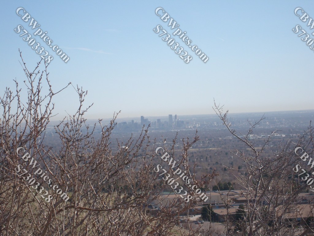
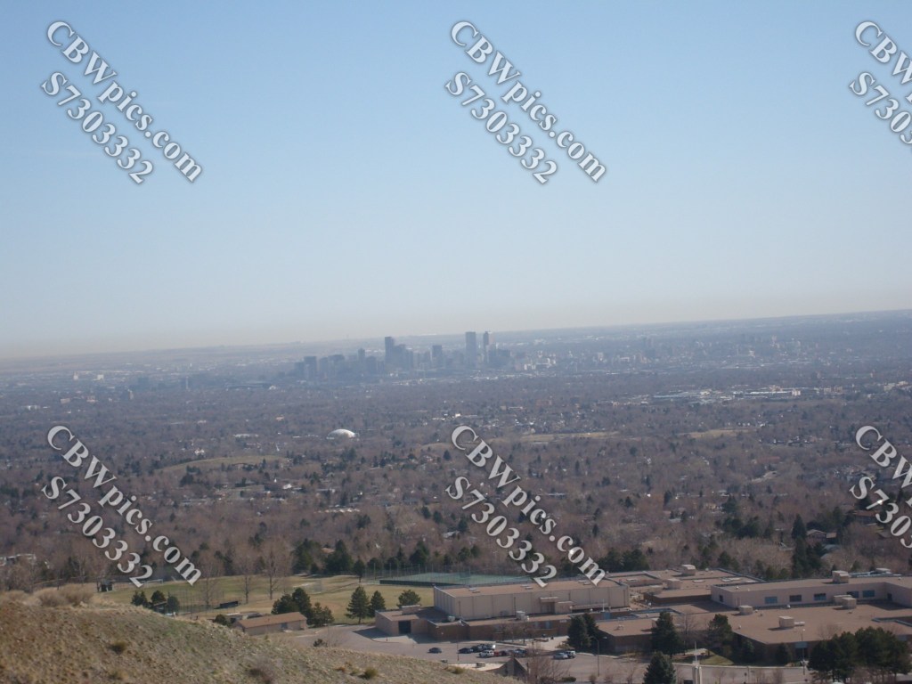
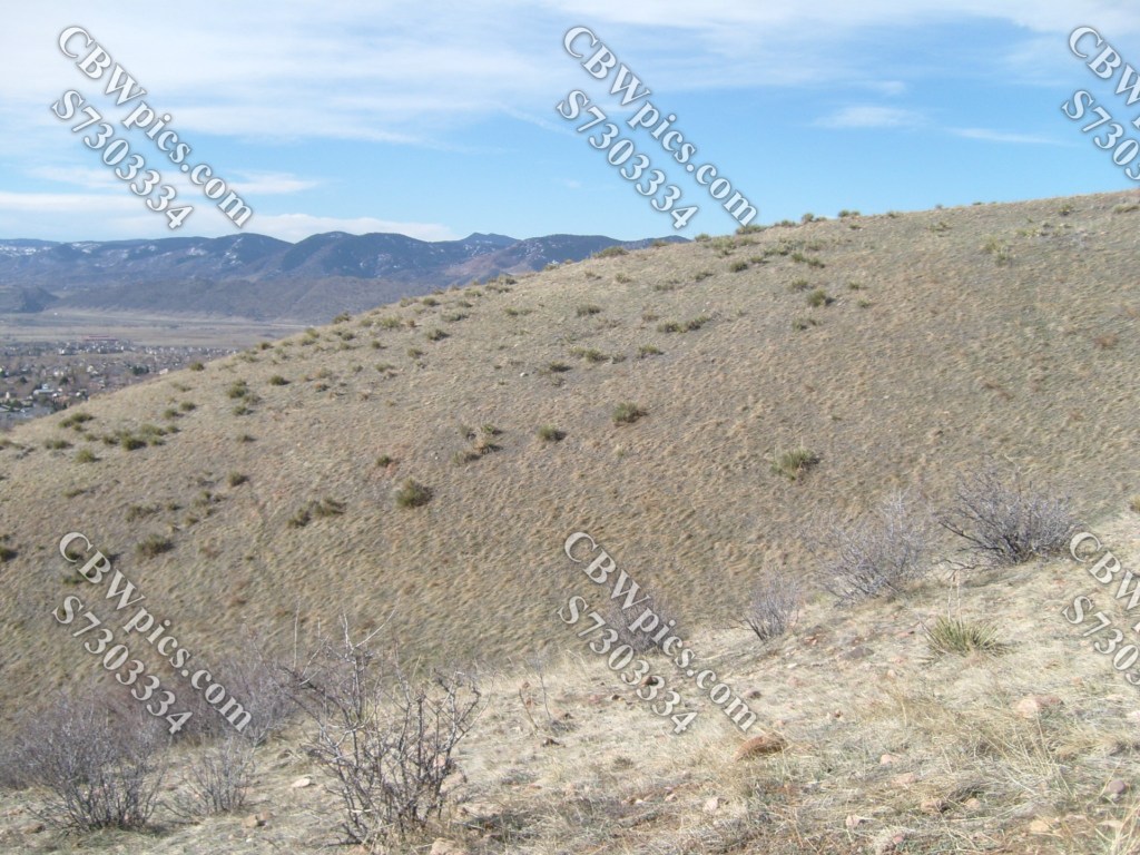
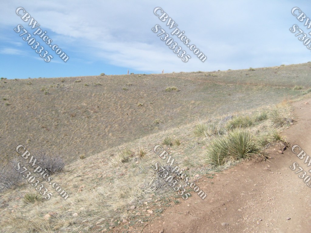
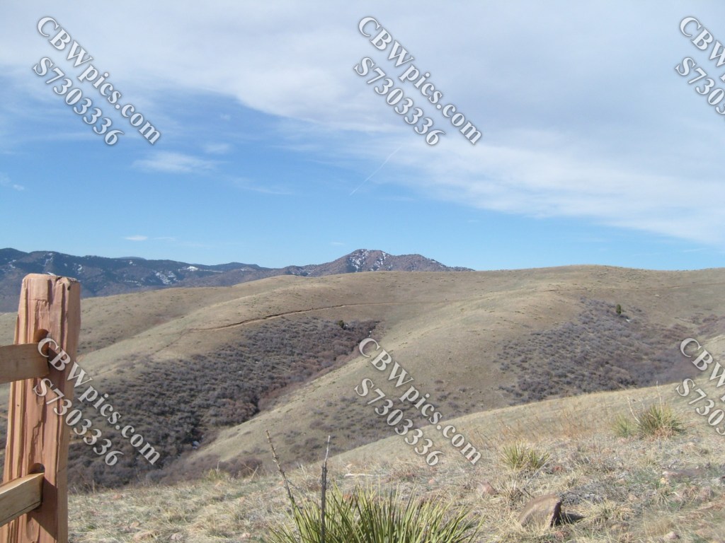
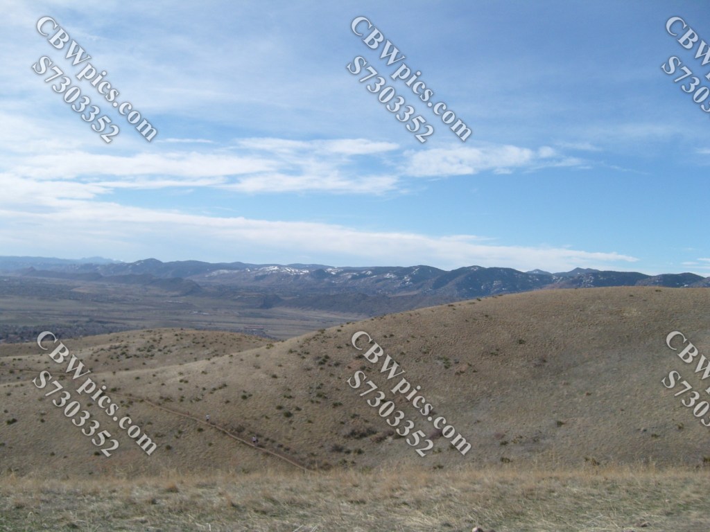
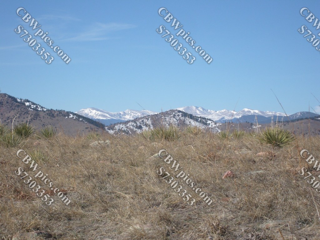
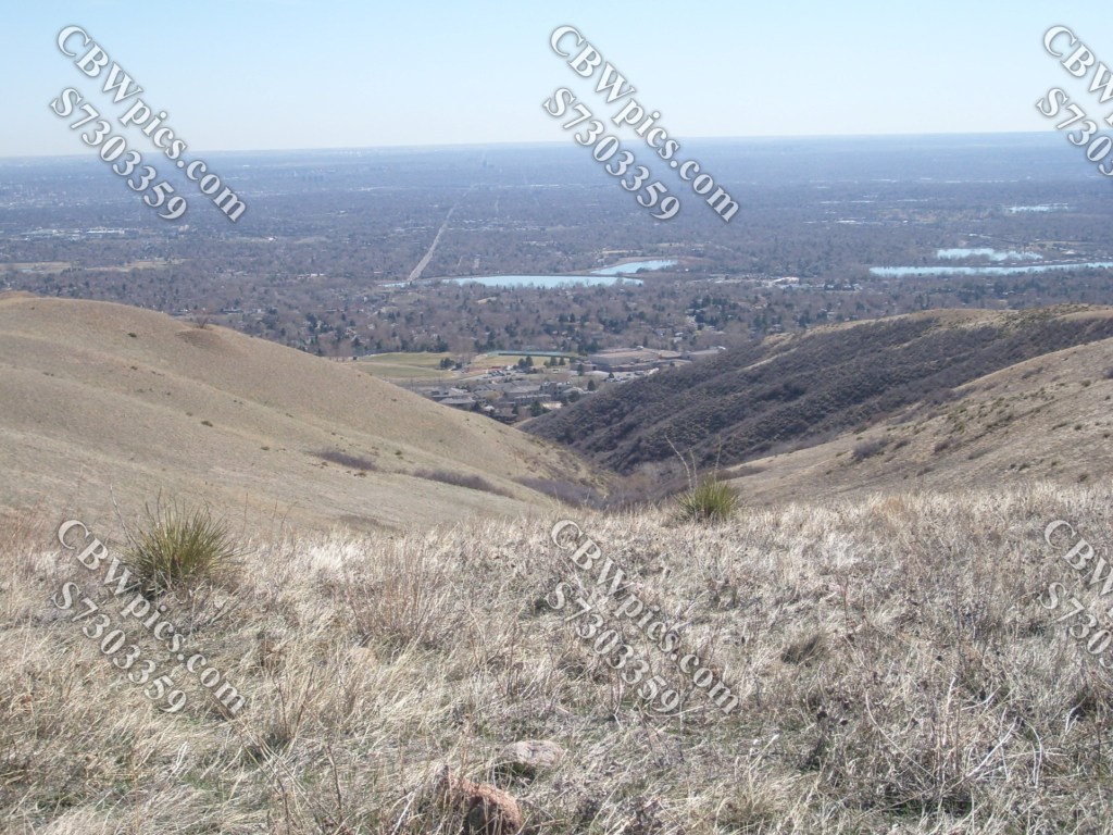
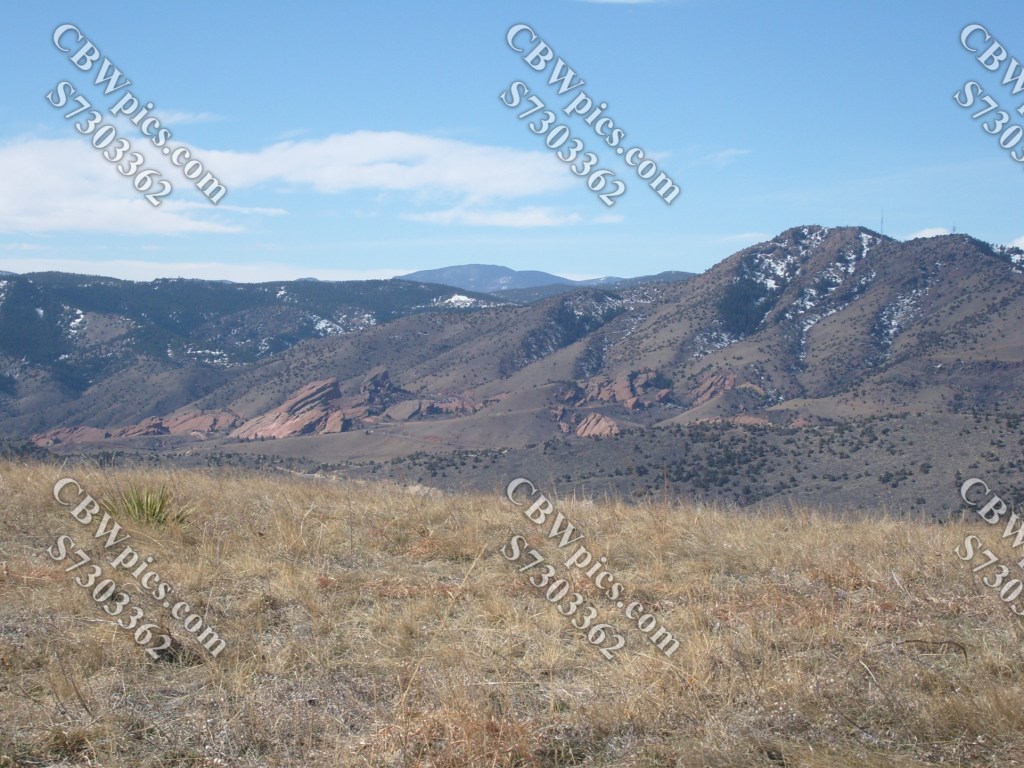
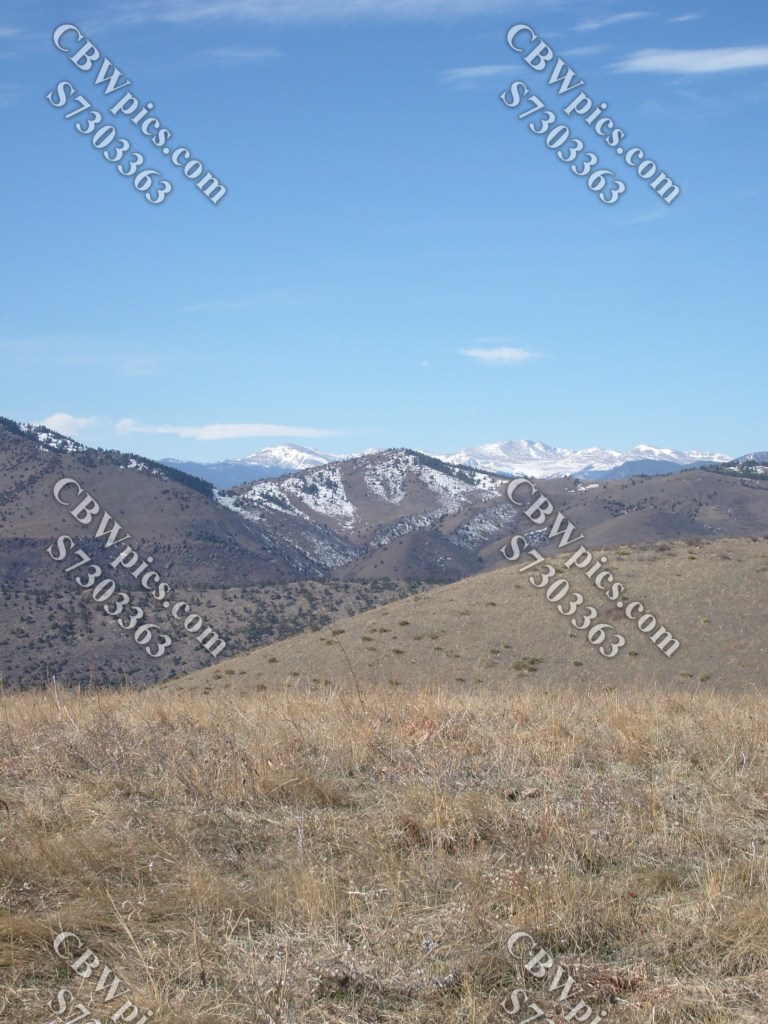
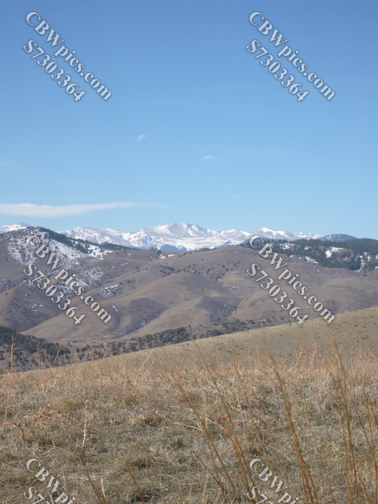
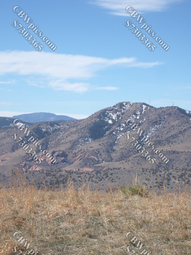
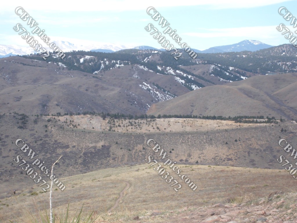
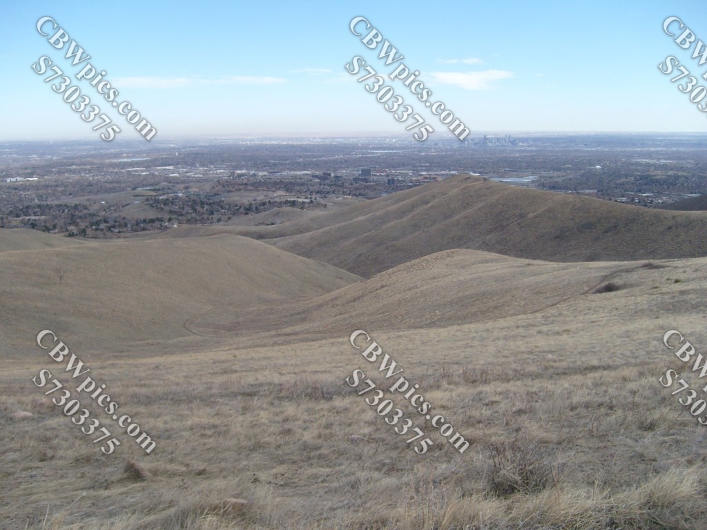
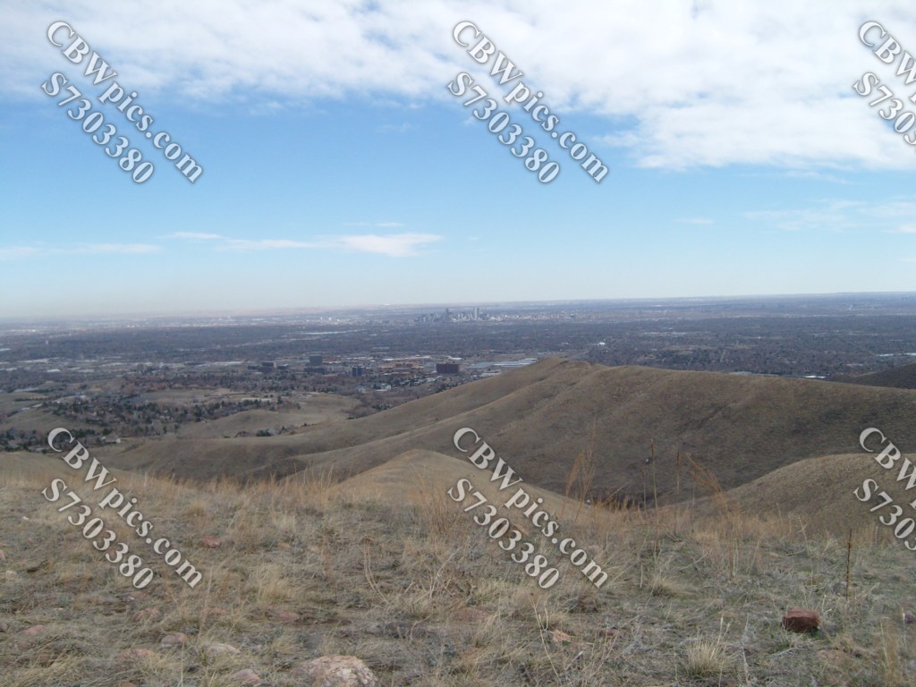
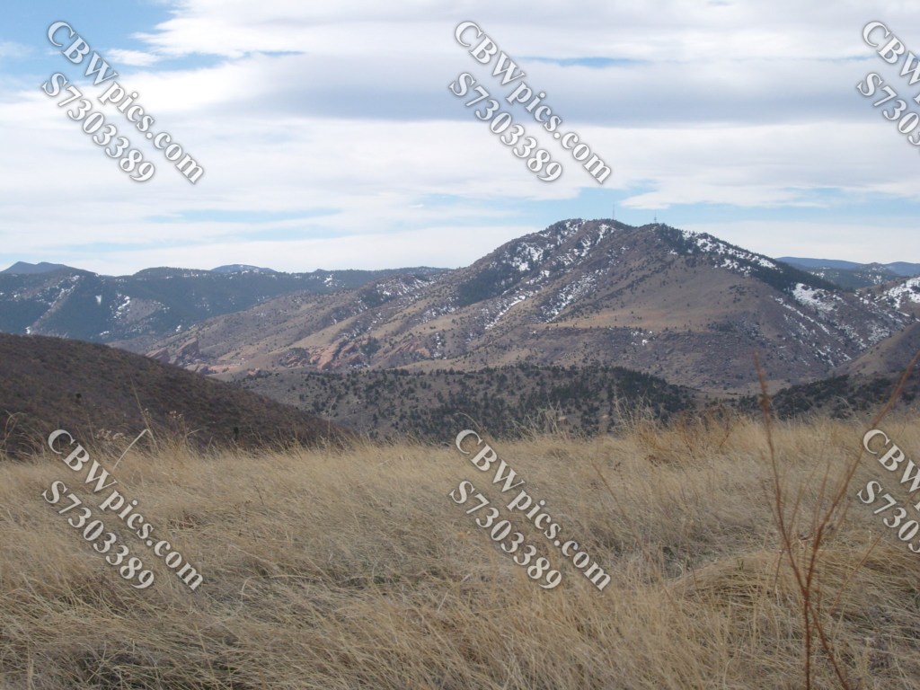
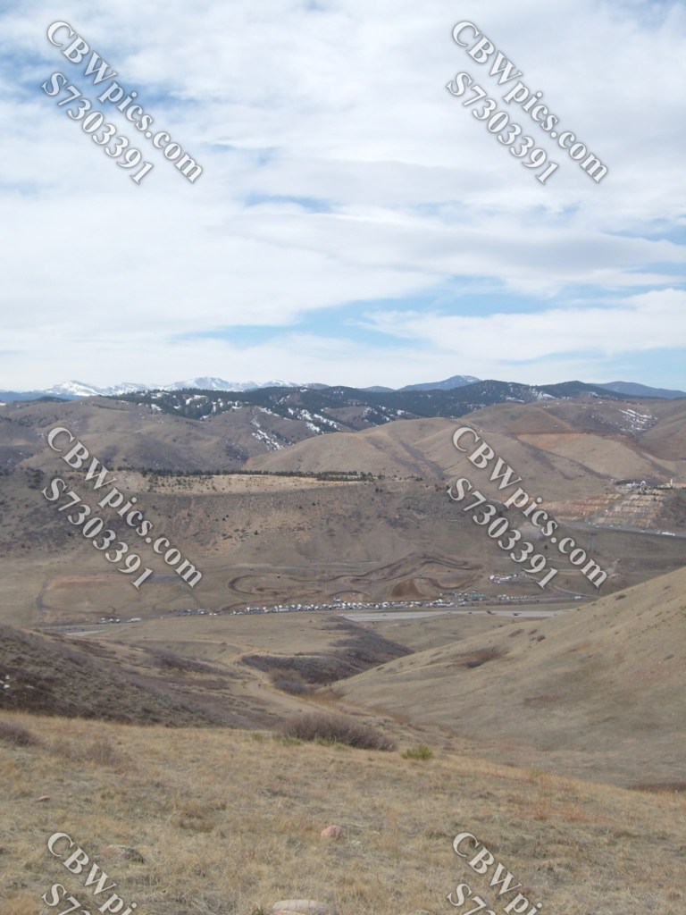
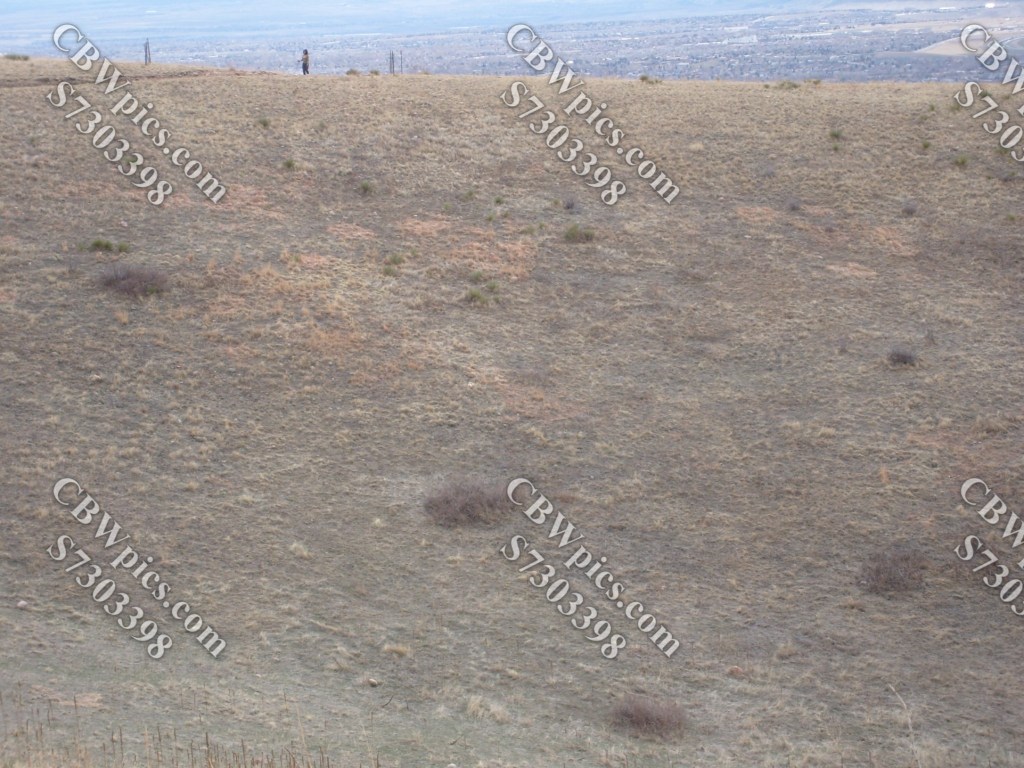
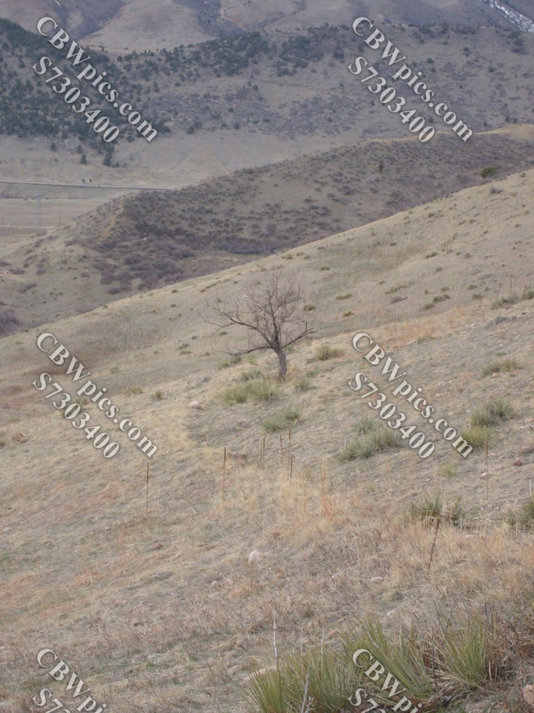
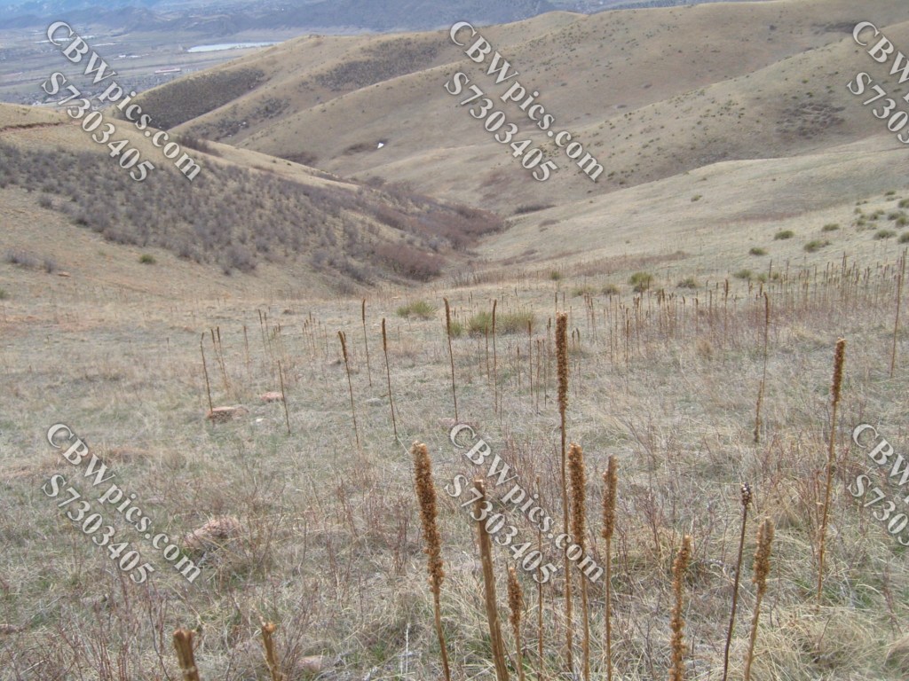
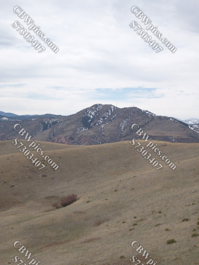
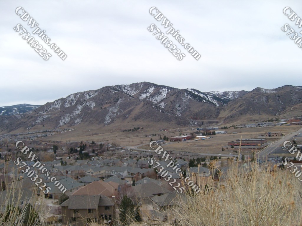
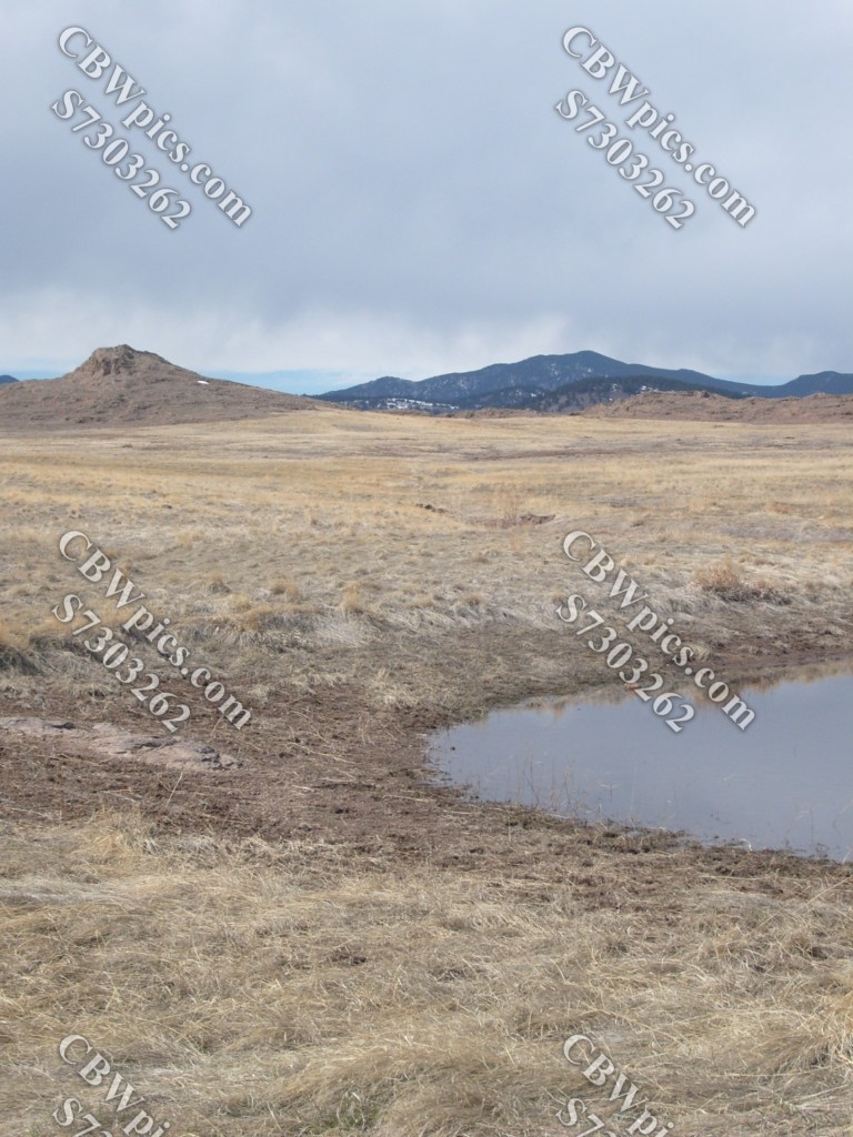
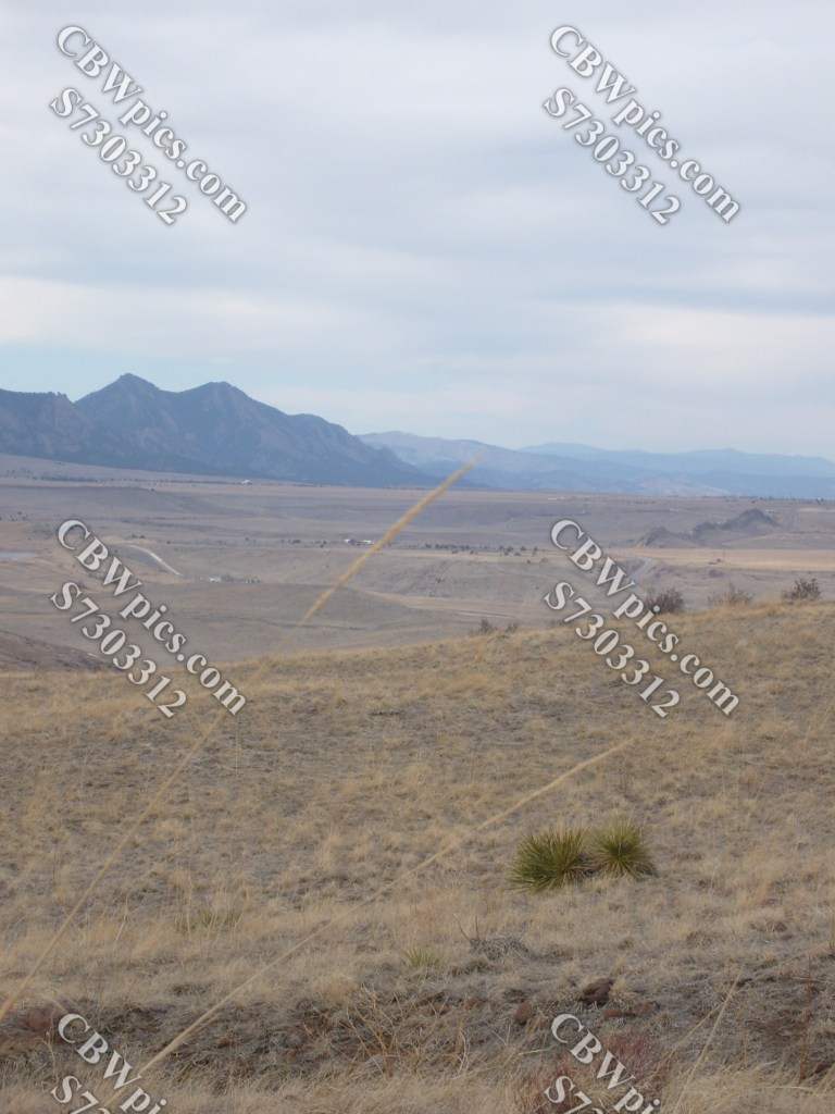
We’ll start with Green Mountain, because it’s within walking distance of my home at the time (but I drove to the trailhead anyway). Green Mountain is not actually named for its vegetation, but for some dude whose last name was Green. No, his first name wasn’t Lorne. And no, that wasn’t a misspelling of Lenore. Now get out of that TURDIS and let’s head on up the trail…


Whew! That was a LOT of pics. Whenever I unload that many photos in a single set, I feel like I’m oversharing. What do you think? Is it too much? Let me know in the comments. In the meantime, I’ll break the following hike into smaller chunks.
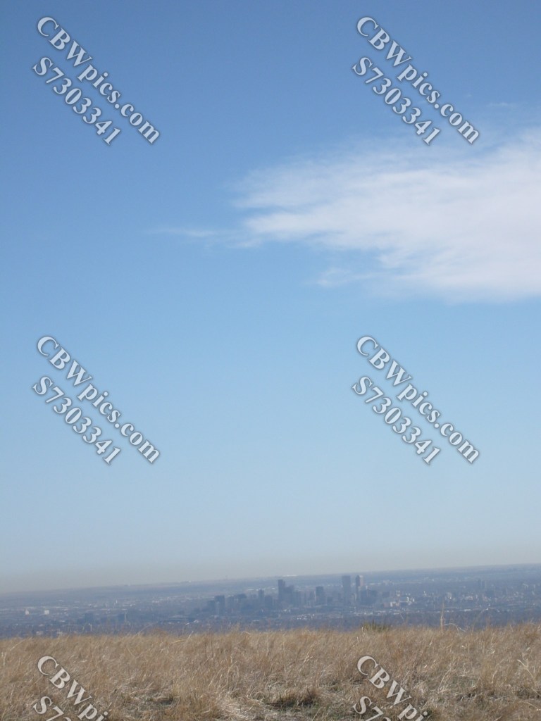
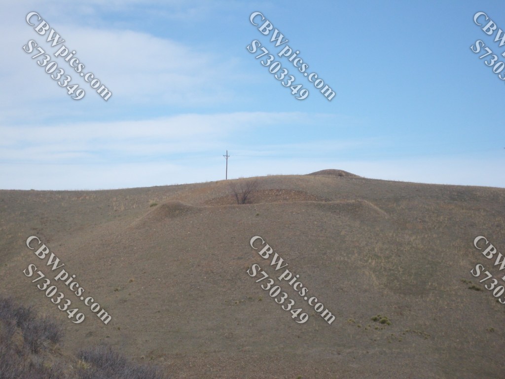
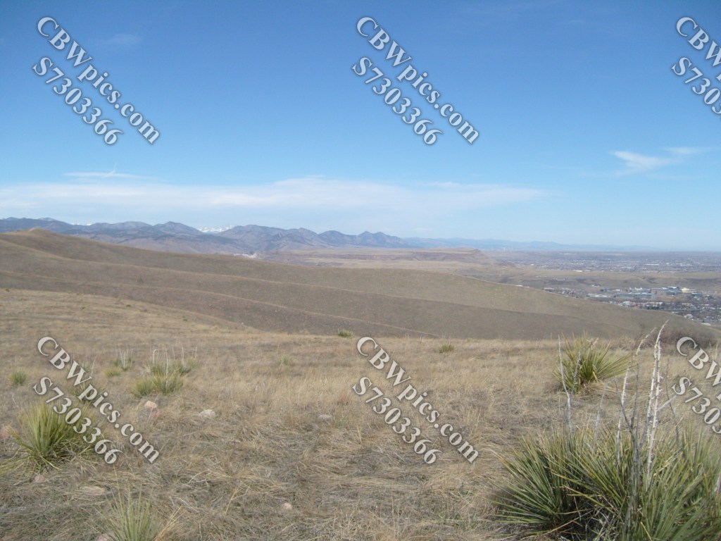
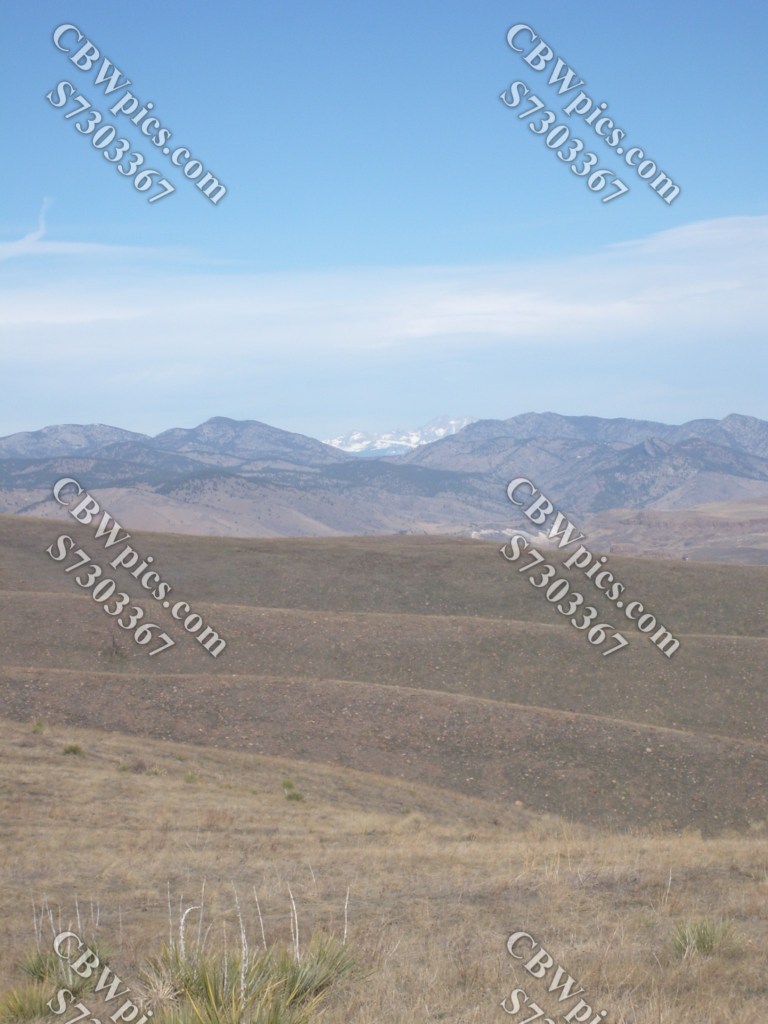
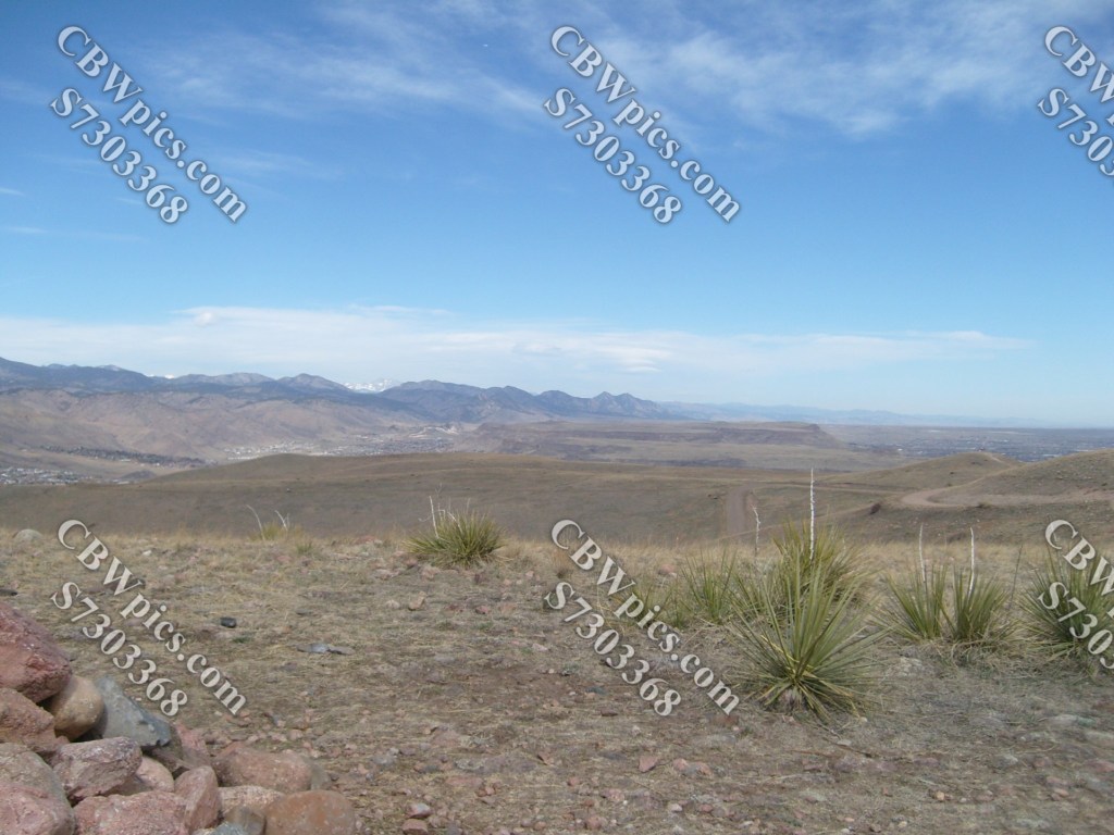
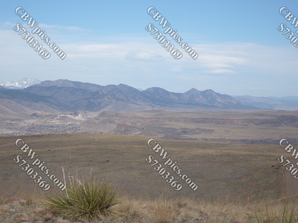
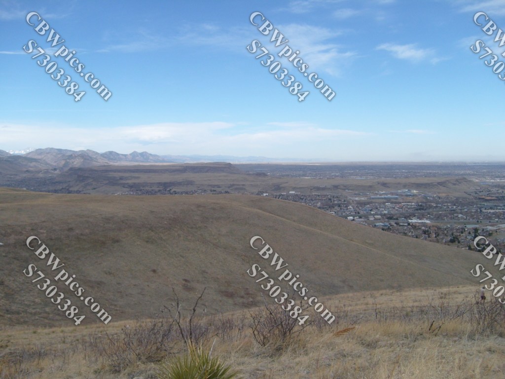
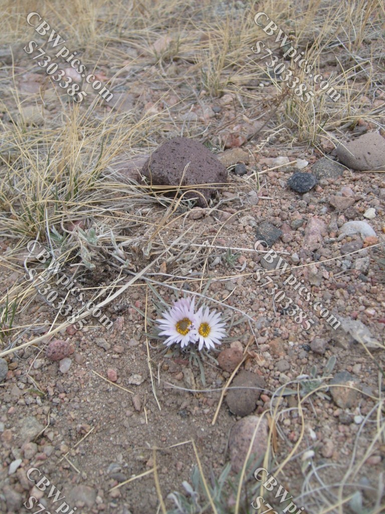
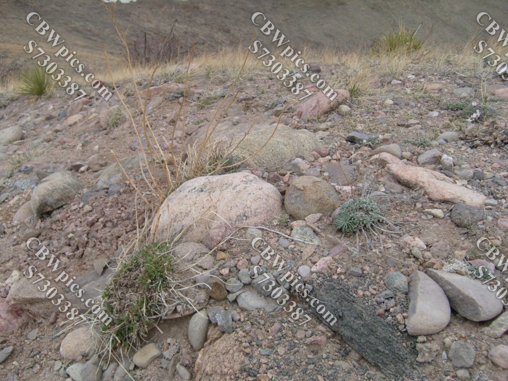
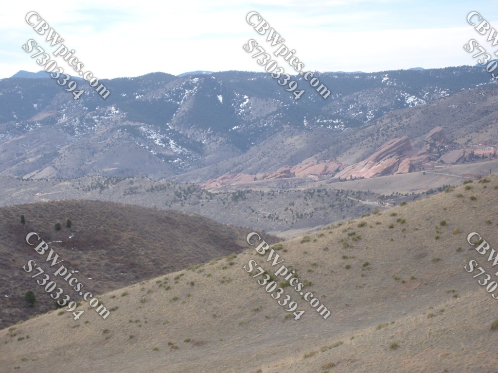
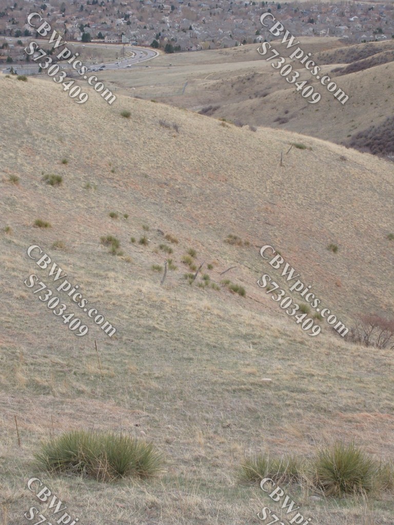
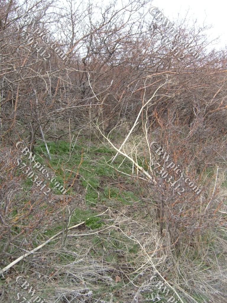
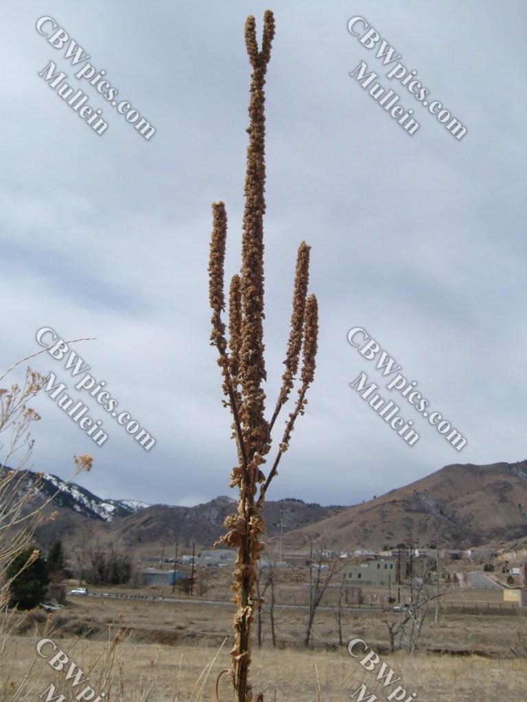
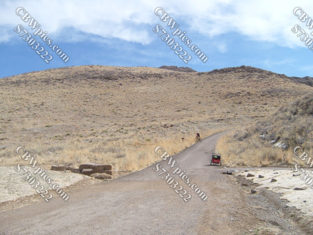
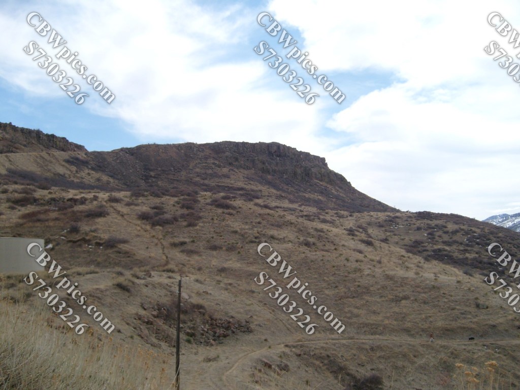
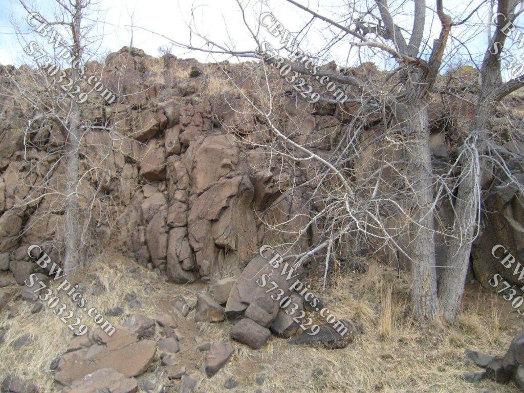
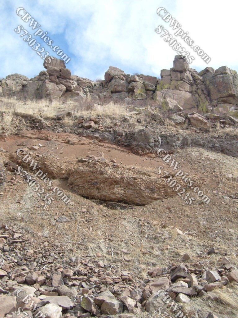
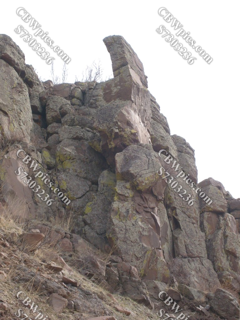
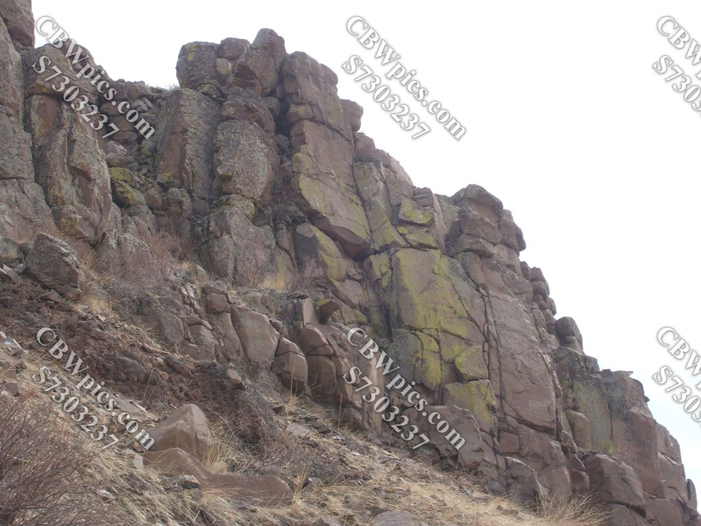
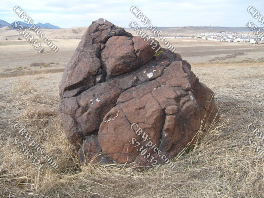
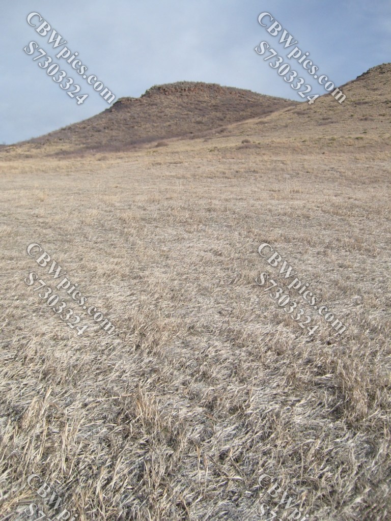
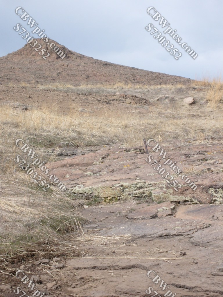
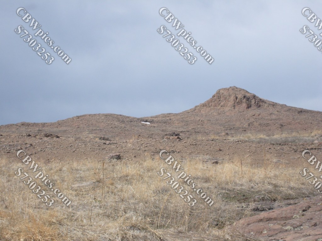
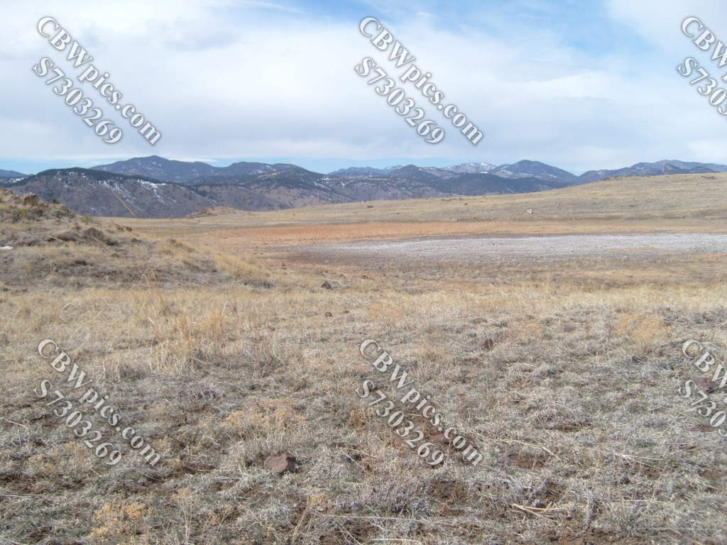
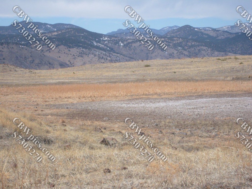
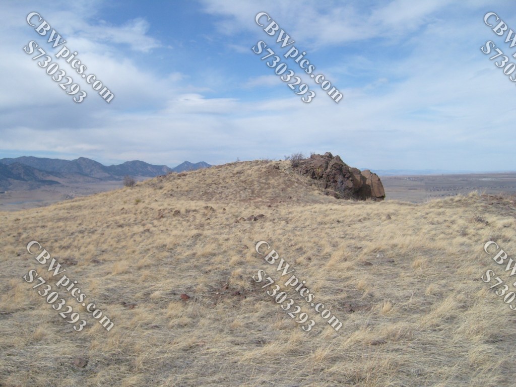
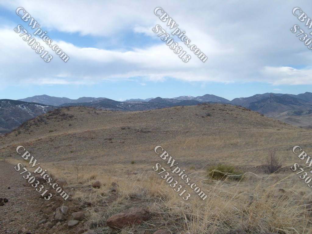
You may have noticed that the above set of photos includes multiple pics of North and South Table Mountains. Well, just six days earlier, I was on top of North Table Mountain (NTM). NTM is almost completely surrounded by the city of Golden, Colorado. You know…the Coors place. Golden is not actually named for its connection to the Colorado Gold Rush, but for some dude whose last name was Golden. If I recall correctly, he was a vegetable farmer. Seriously. Now, the hike. North Table Mountain has multiple trails strewn about its flat top. On this visit, I hiked on four of those trails. Let’s start with the trail known as North Table Loop:
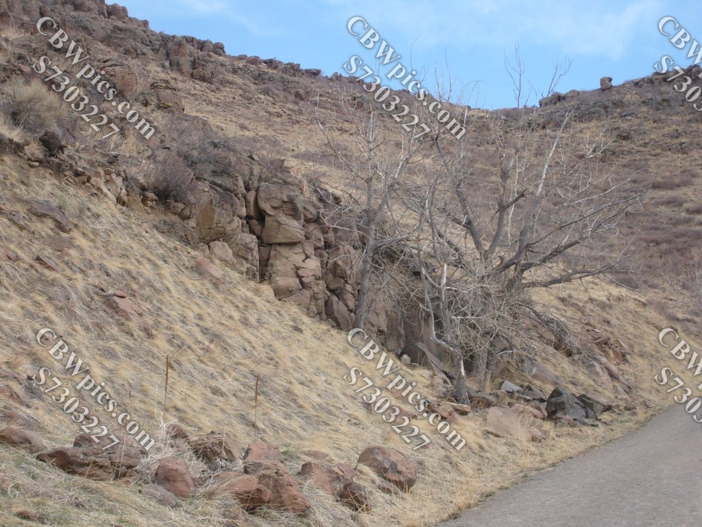

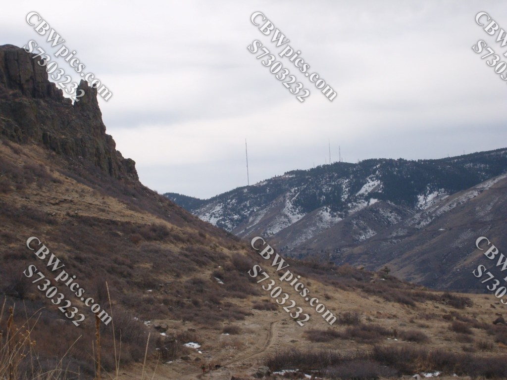

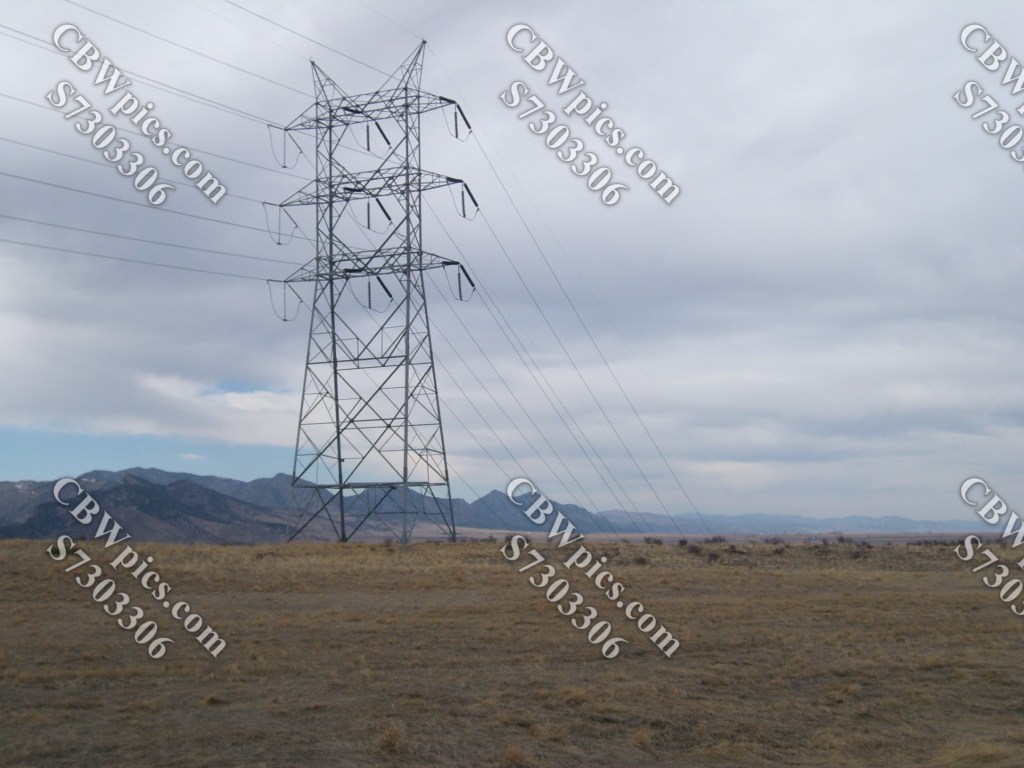
Switching from North Table Loop to Tilting Mesa Trail…
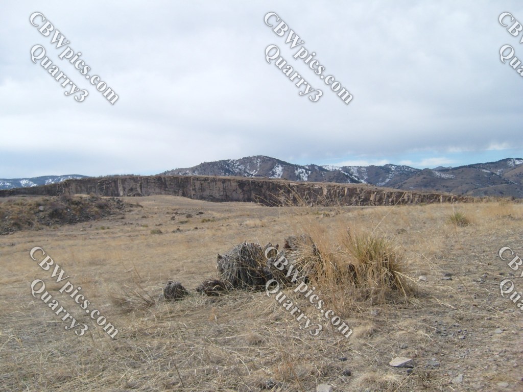
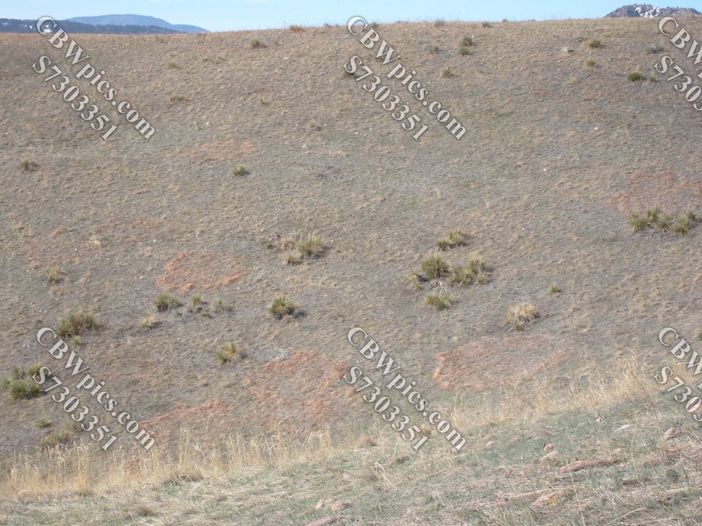
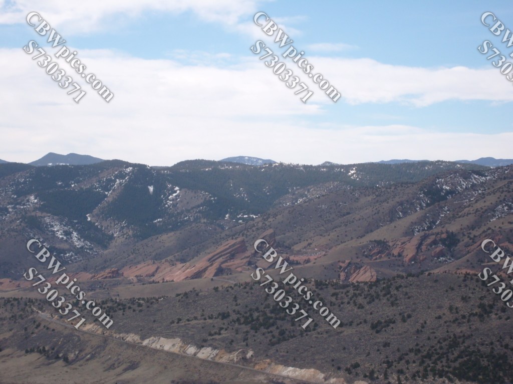
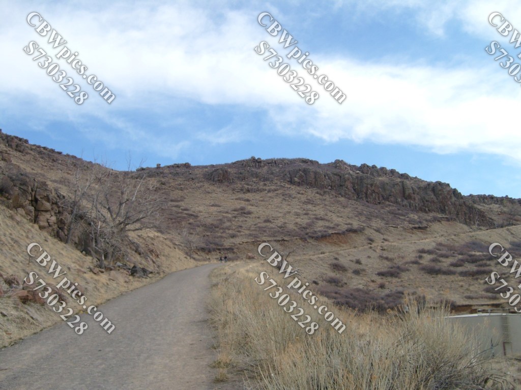
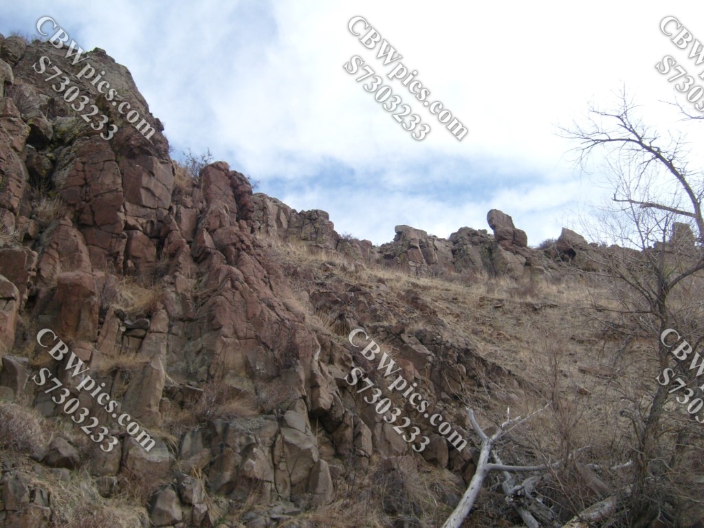
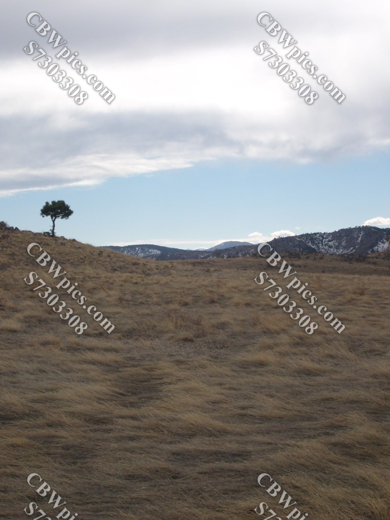
Another intersection o’ trails, and we’re now on Rim Rock Trail. Not to be confused with Rim Rock Road, which is on the other side of the state.
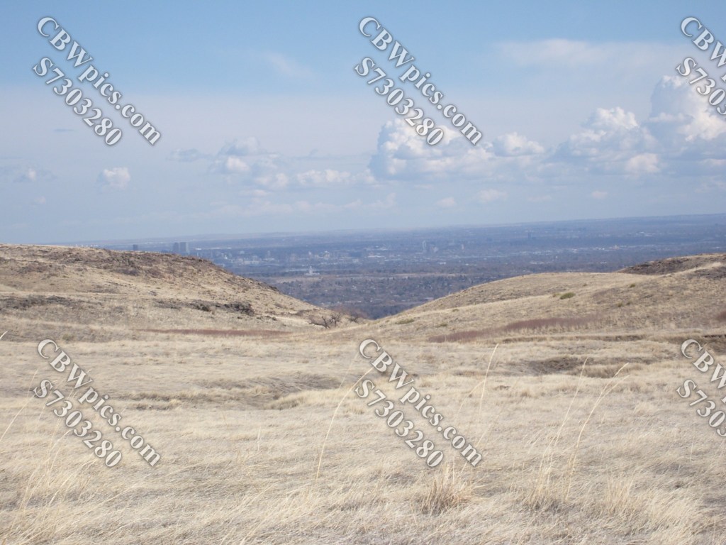


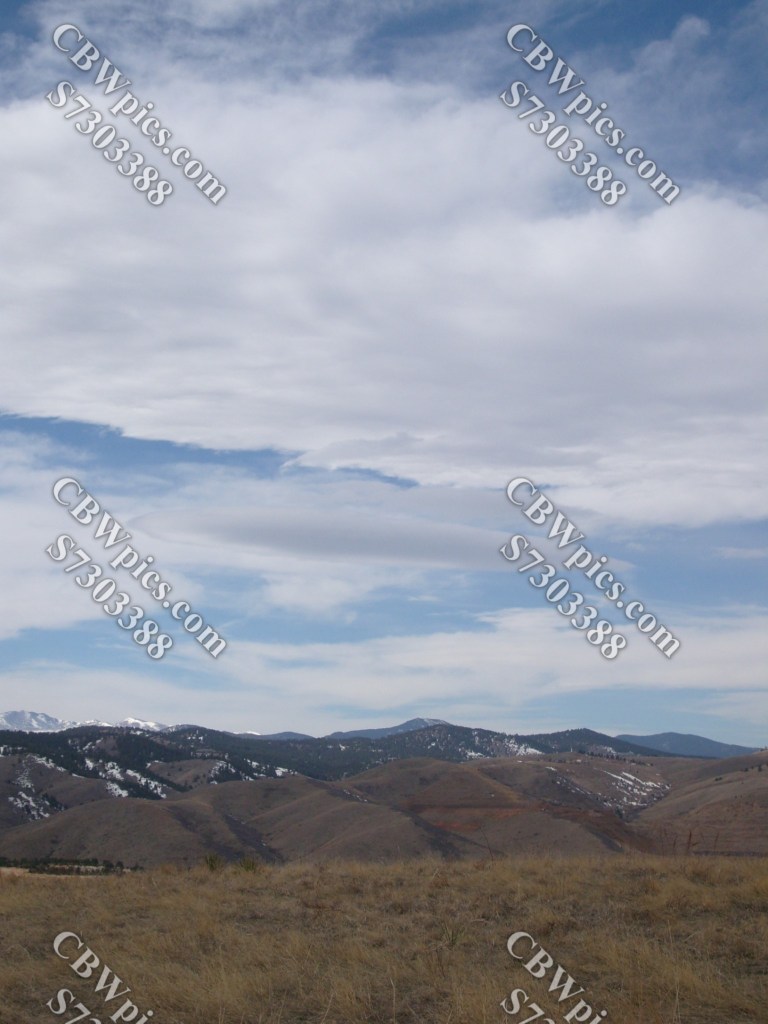
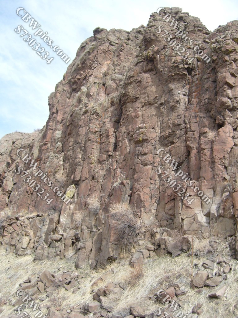
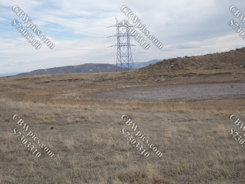
And we wrap up this hike with a walk along Mesa Top Trail:


All right, that’s it! Smilin’ clouds are where I draw the line. I’m gettin’ outta here!
