
Today we fire up the Way-the-Hell-Back Machine so’s it can take us back to July 2009. And yes, I do mean “fire up”. That’s right…the Way-the-Hell-Back Machine runs on coal. The idea of a coal-fired time machine may seem odd at first, but it makes good sense: if I were to run out of fuel while cruising through the 19th century, I would be hard-pressed to find a gasoline station or electrical outlet, but I could certainly obtain coal. Even if I had to misbehave and wait until Christmas.
Moving on…
If you’ve ever watched a Denver sporting event on TV, you’ve probably seen aerial video of today’s destination, but had no idea what it was called or where it was located. Roxborough State Park is located at the extreme southwest end of the Denver metropolitan area. On Saturday, July 18, 2009 Roxborough was nearly devoid of humans. This could be because very few people had heard of it and/or because it was damned hard to find. Now that everyone has a smart phone with a GPS app, it may be much more crowded. In any case, let’s begin our voyage in the parking lot…


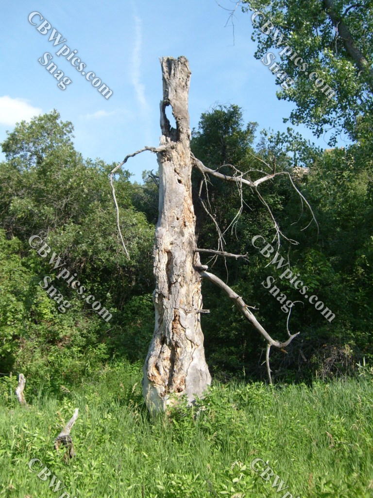
Yup, that was just the parking lot. Imagine what kind of scenery you might find if you actually hike around the joint. Oh, wait. You don’t have to imagine. Just keep scrollin’ down.
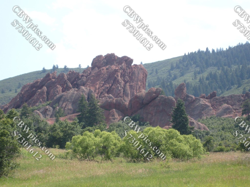
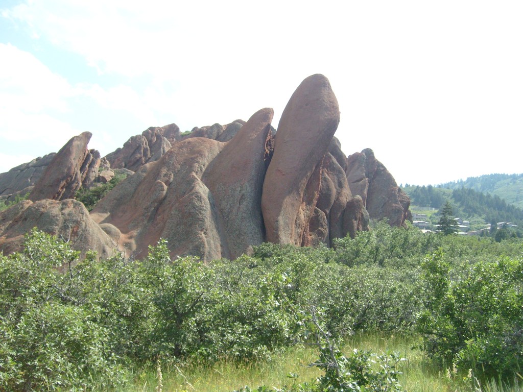
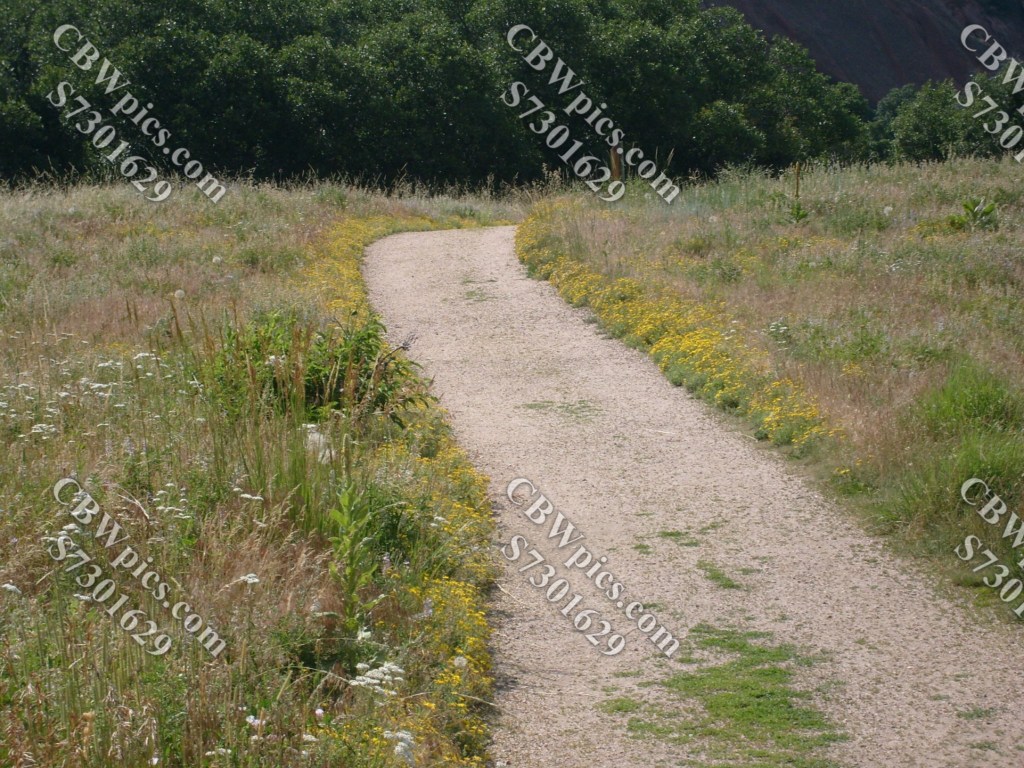
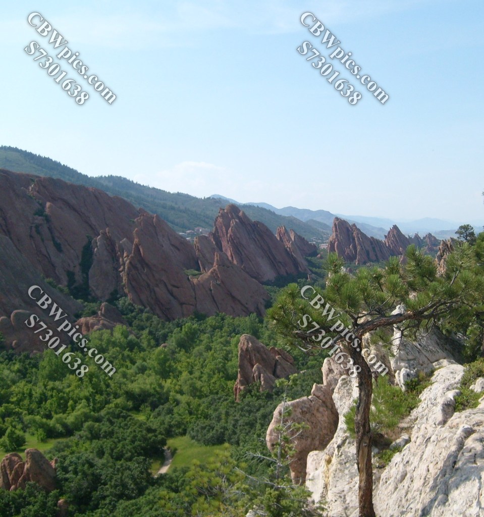
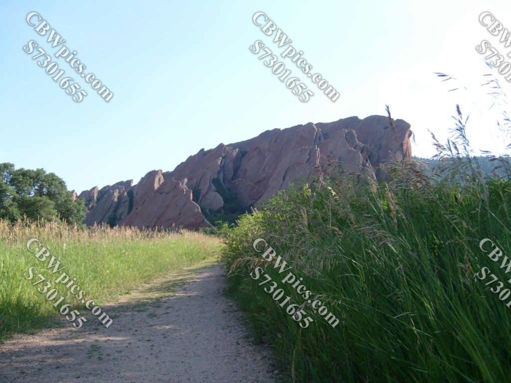
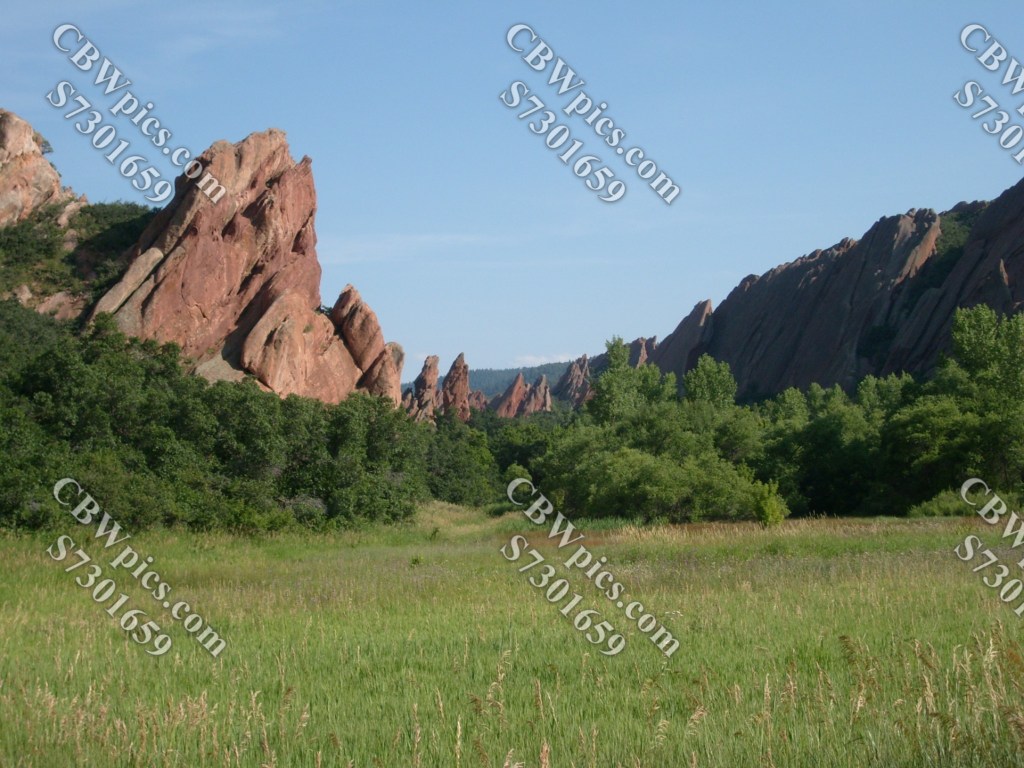
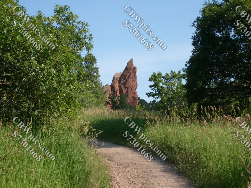
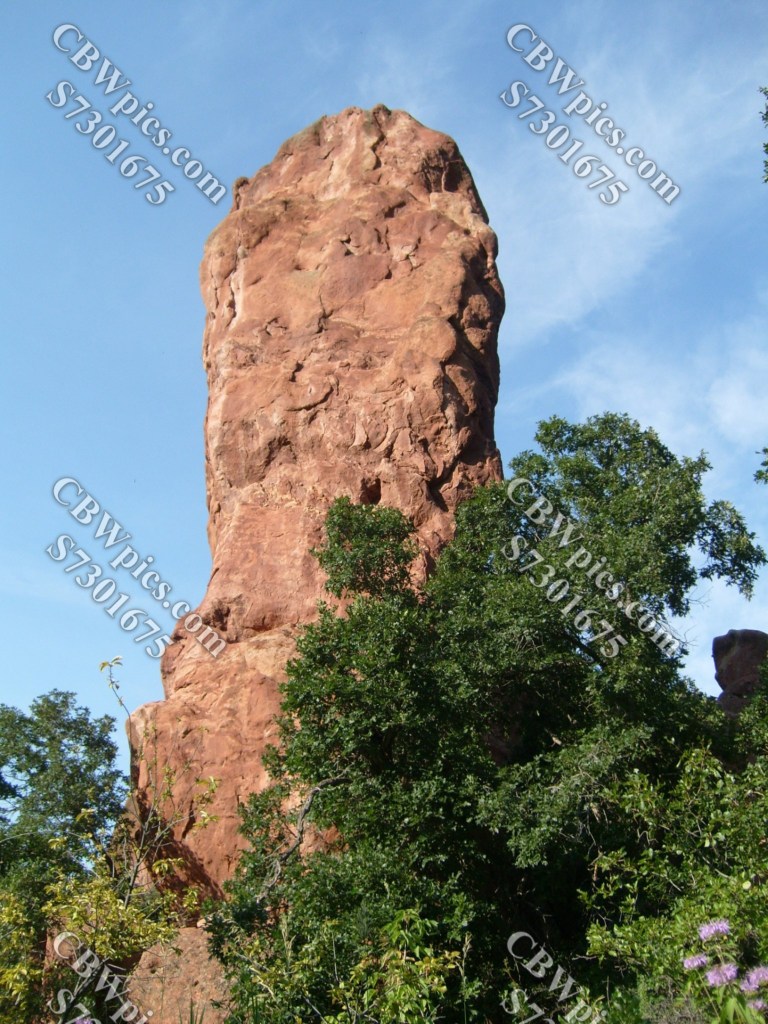
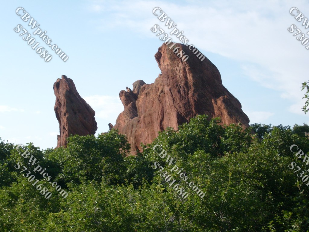
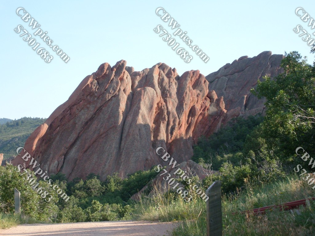
There are multiple hiking trails in Roxborough State Park, but THE ONE that must be seen is known as Fountain Valley Trail. This trail is an oval-shaped loop of about 2.5 miles. One “side” of the oval takes you through a high-plains grassland with a couple of spots that overlook Fountain Valley, which is the part of the park you’ve likely seen on TV. The other side descends to the floor of Fountain Valley, offering a very different (but equally impressive) perspective. Between the two (running down the center of the oval) are these rocks:

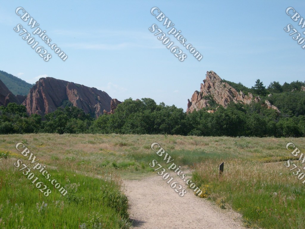
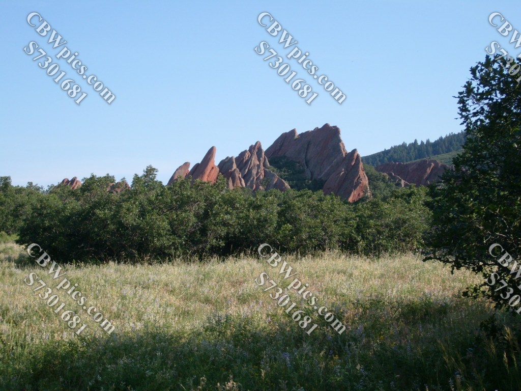
We’ll hike the loop counterclockwise. Going this way it’s not long until we reach the first overlook of the Fountain Valley, which (oddly enough) is called Fountain Valley Overlook. It provides these views:


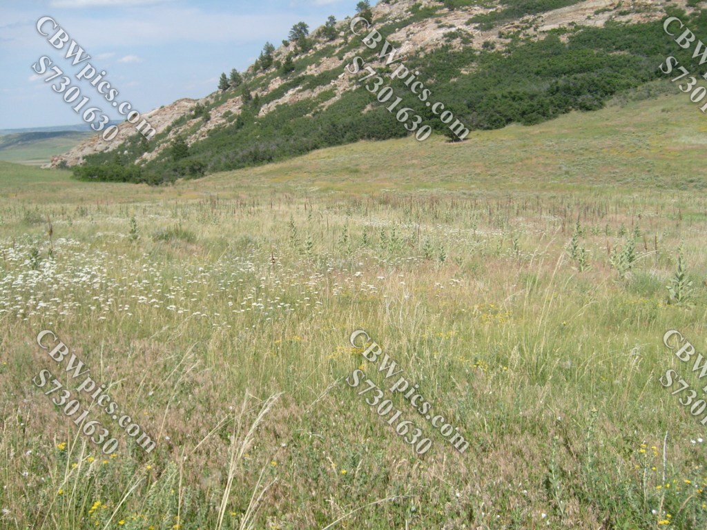
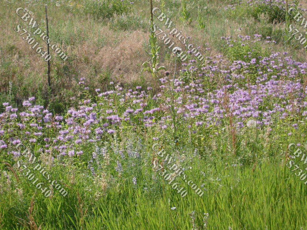
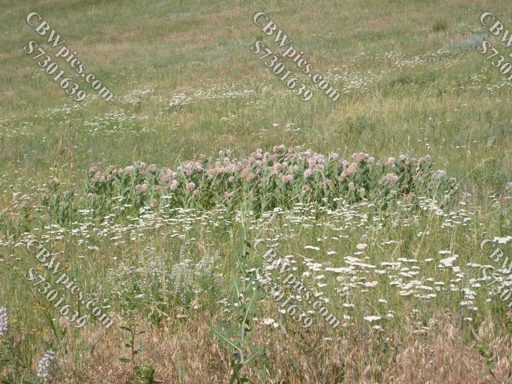
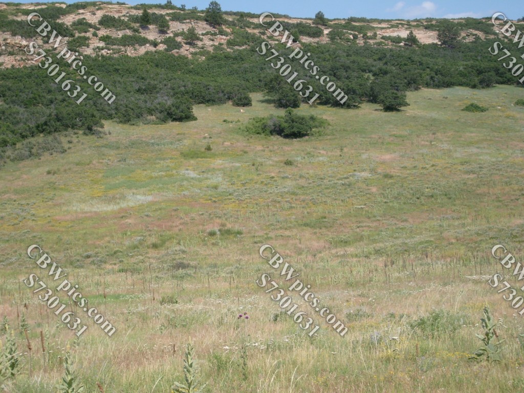
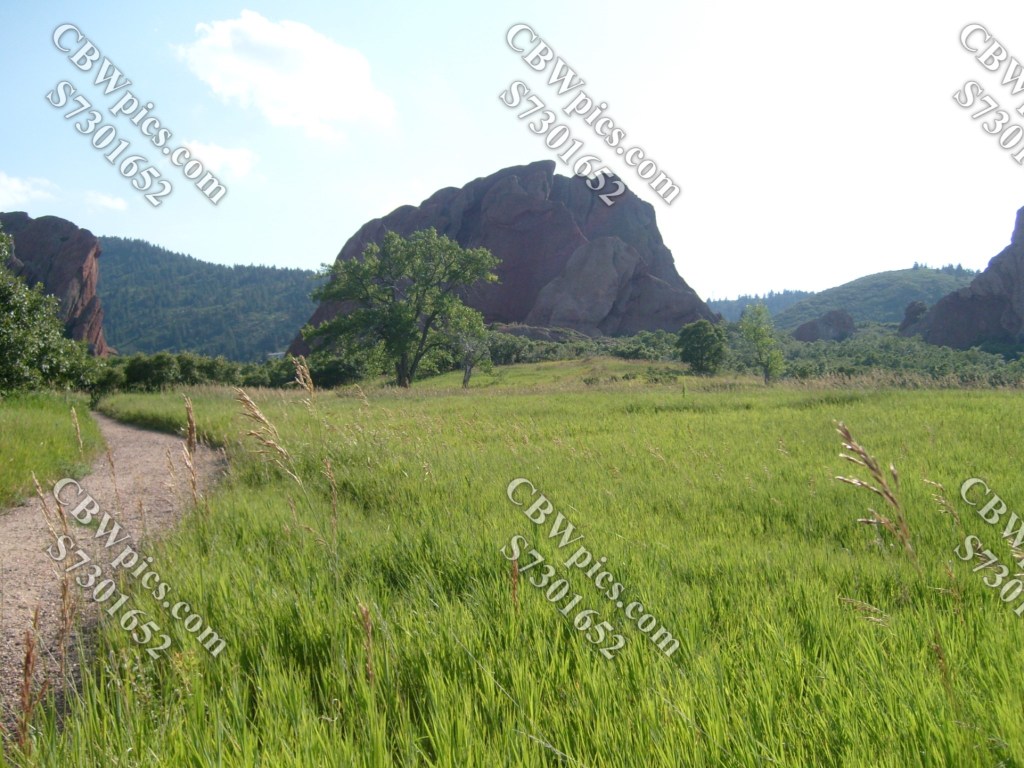
Leaving the overlook, we venture out onto the high grassland:
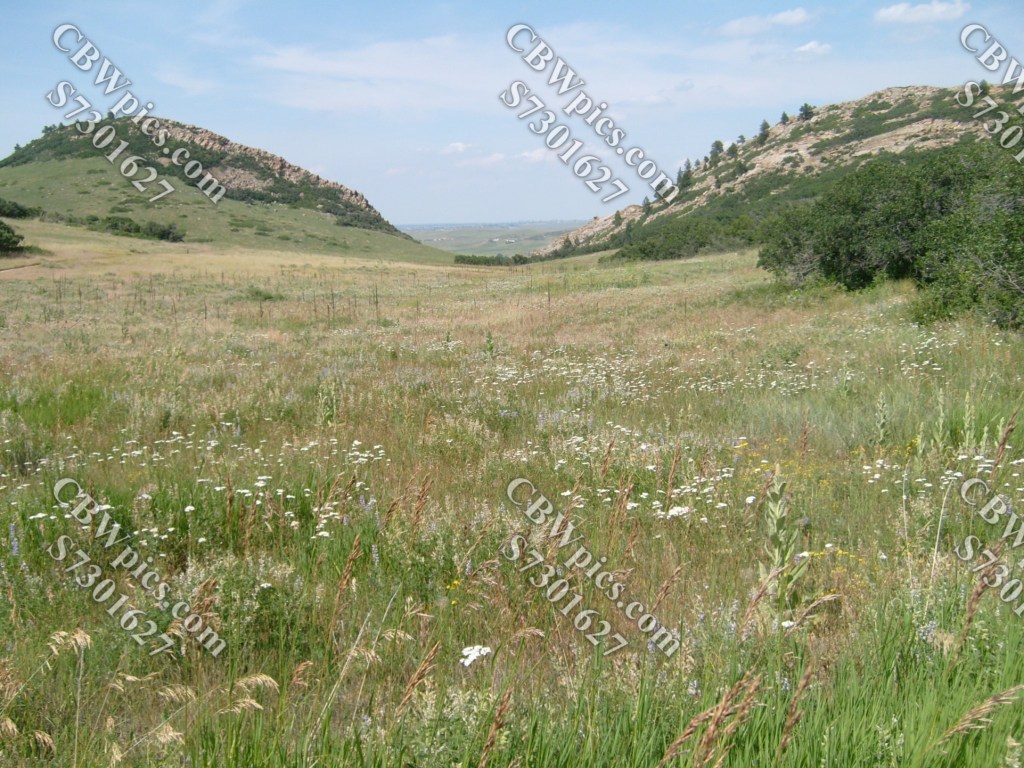
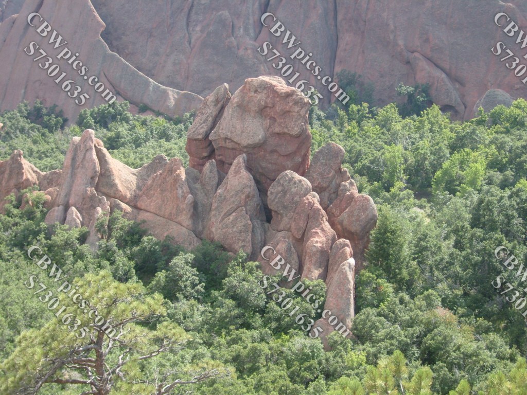
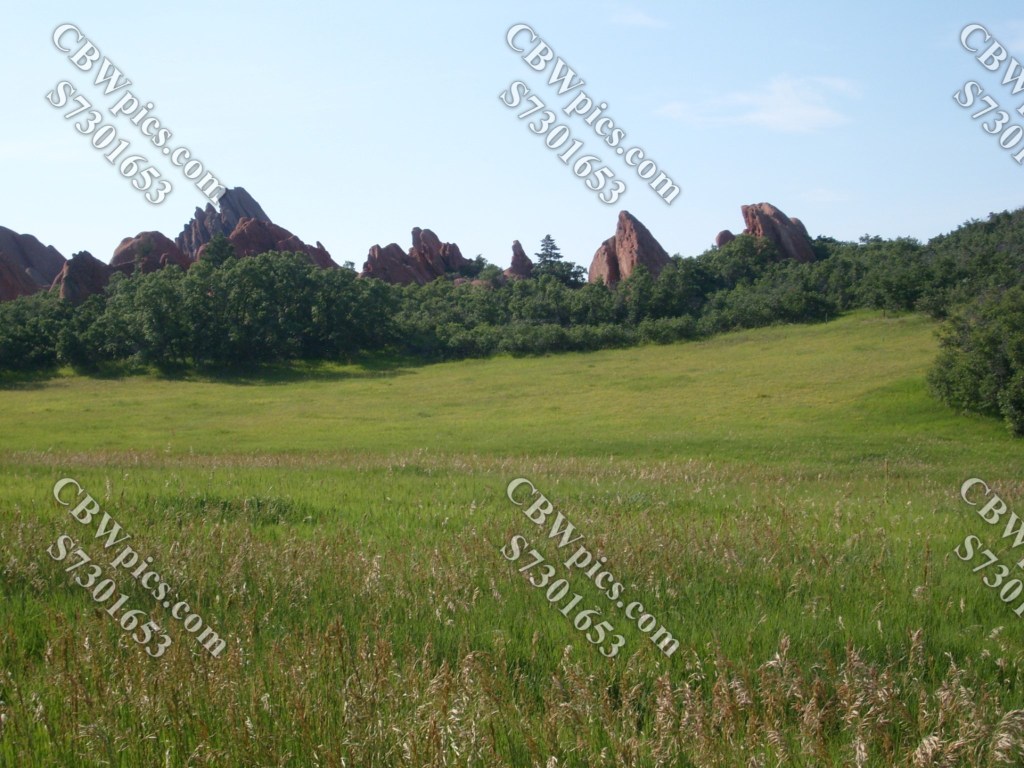
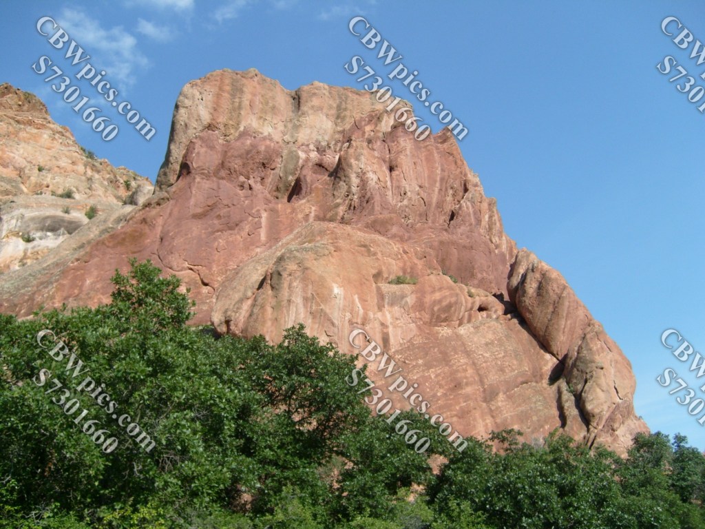
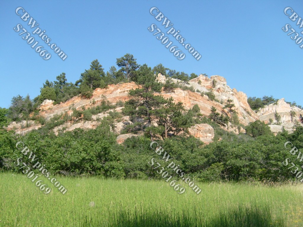
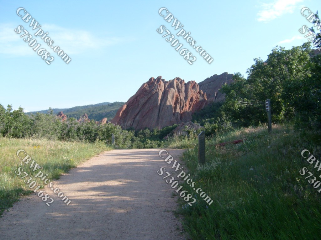
We have now reached the Lyons Overlook, even though we’re nowhere near the town of Lyons. Here’s the scene at this overlook:

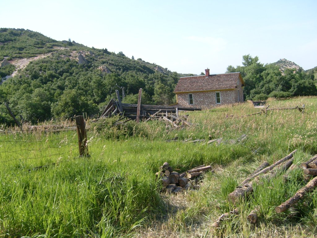
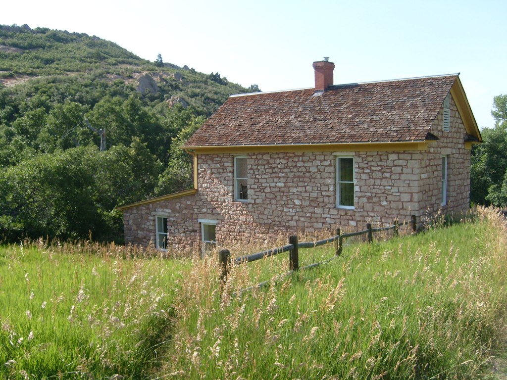
At the “top” of the oval is Persse Place. Built in 1903, this Place was intended to be part of a large commerical development that never came about. This stone house and a few farm / ranch structures were all that ended up being built…
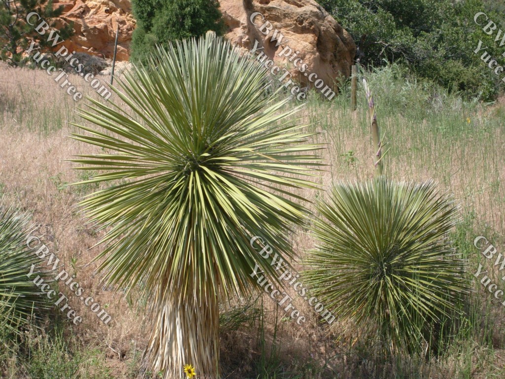
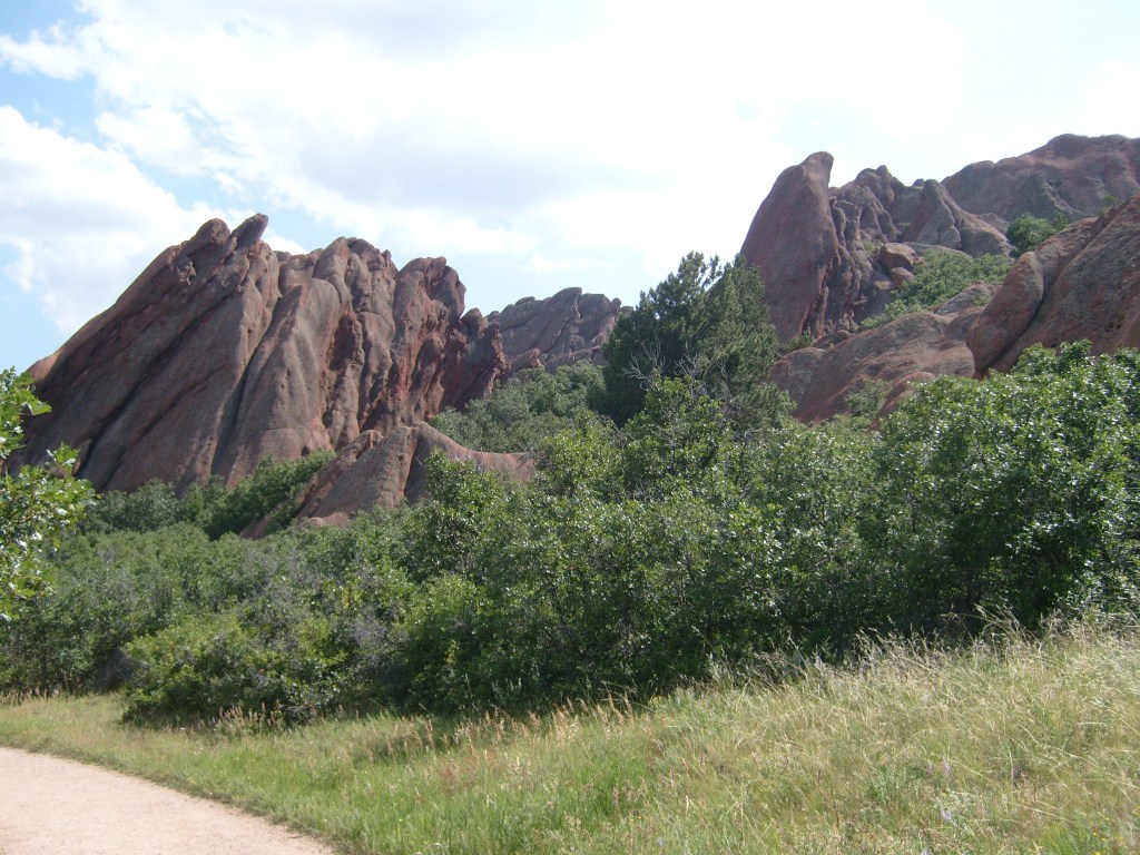
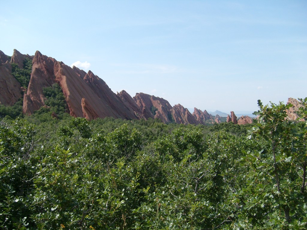
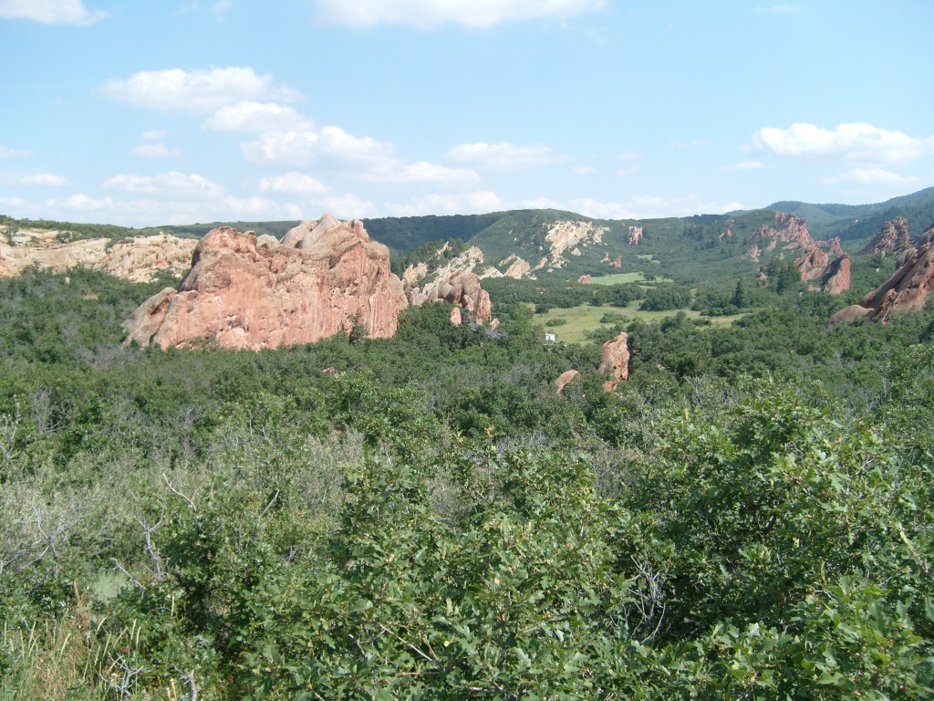
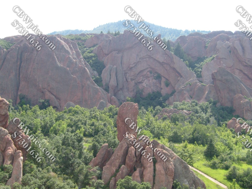
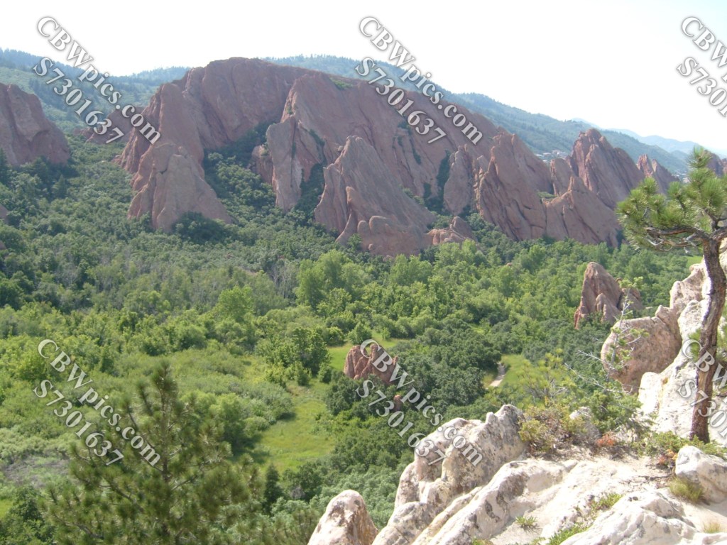
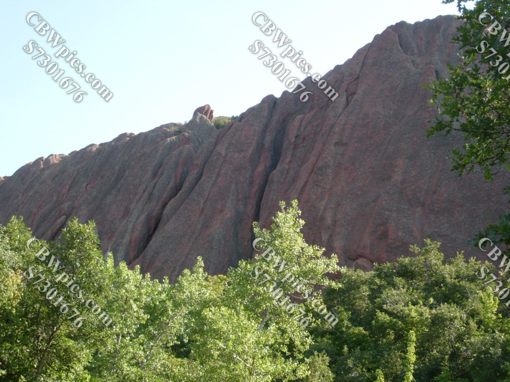
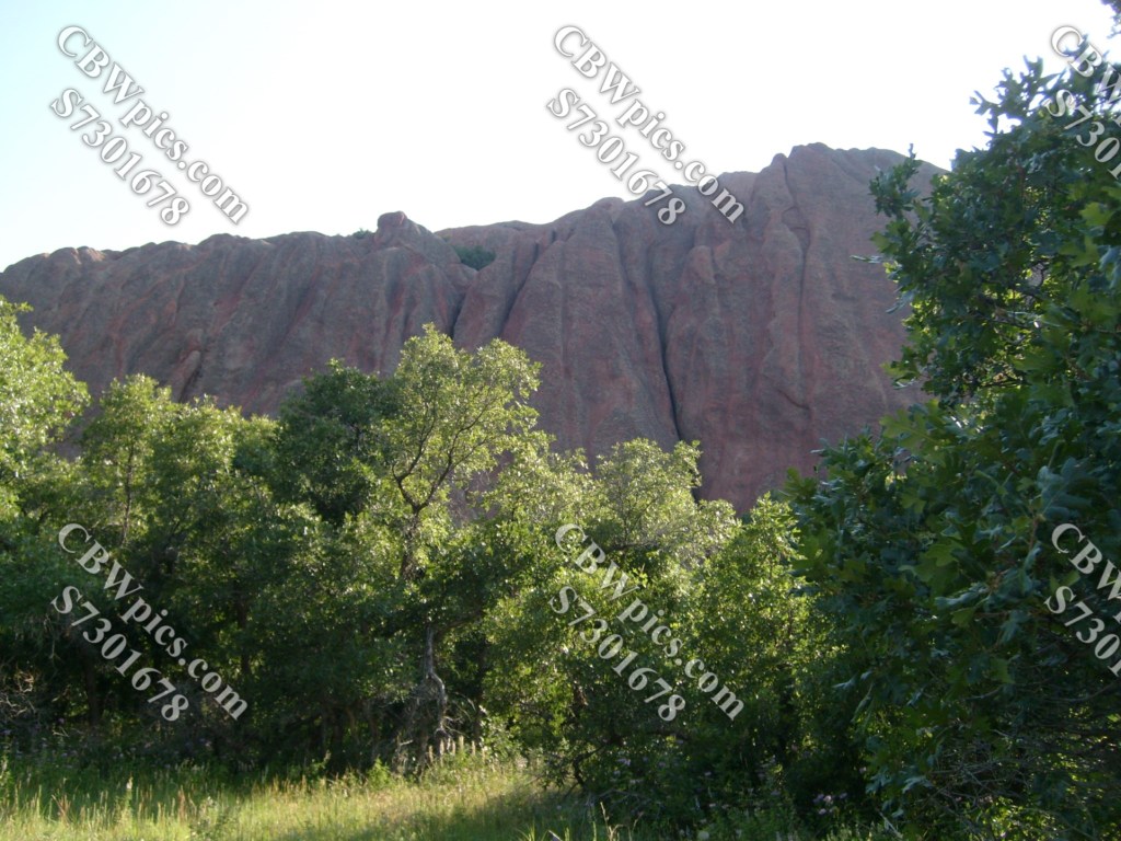
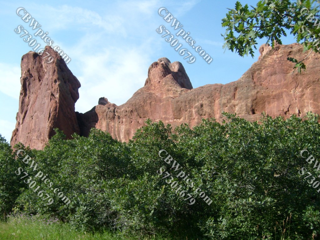
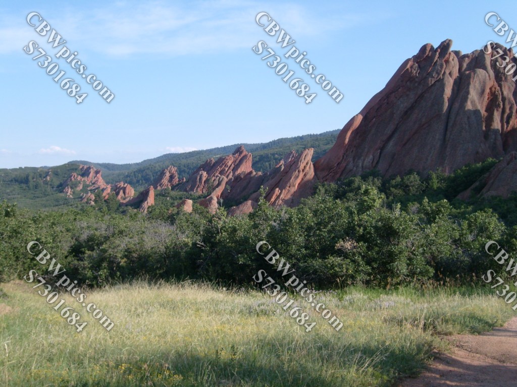
Leaving Persse Place, we at last enter Fountain Valley, where the real feast for the eyes lies…
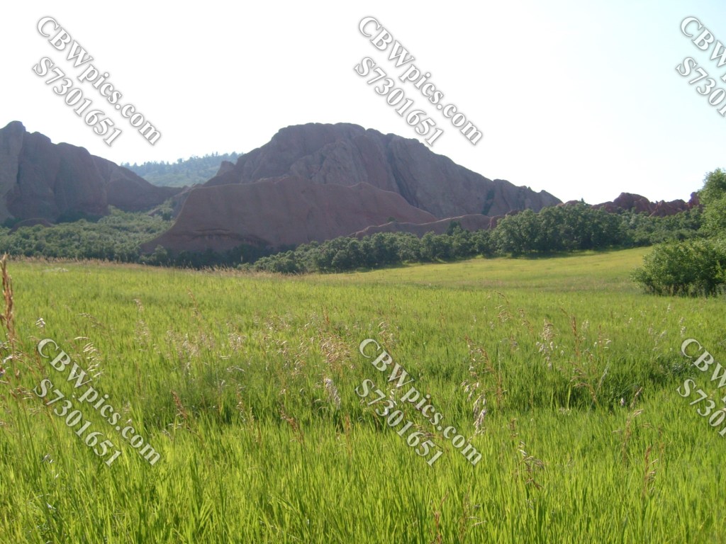
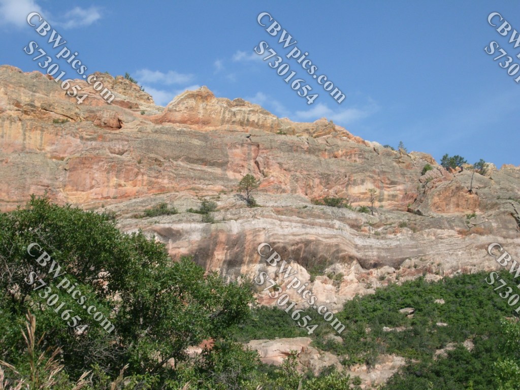


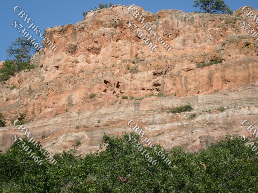
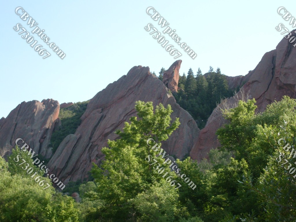
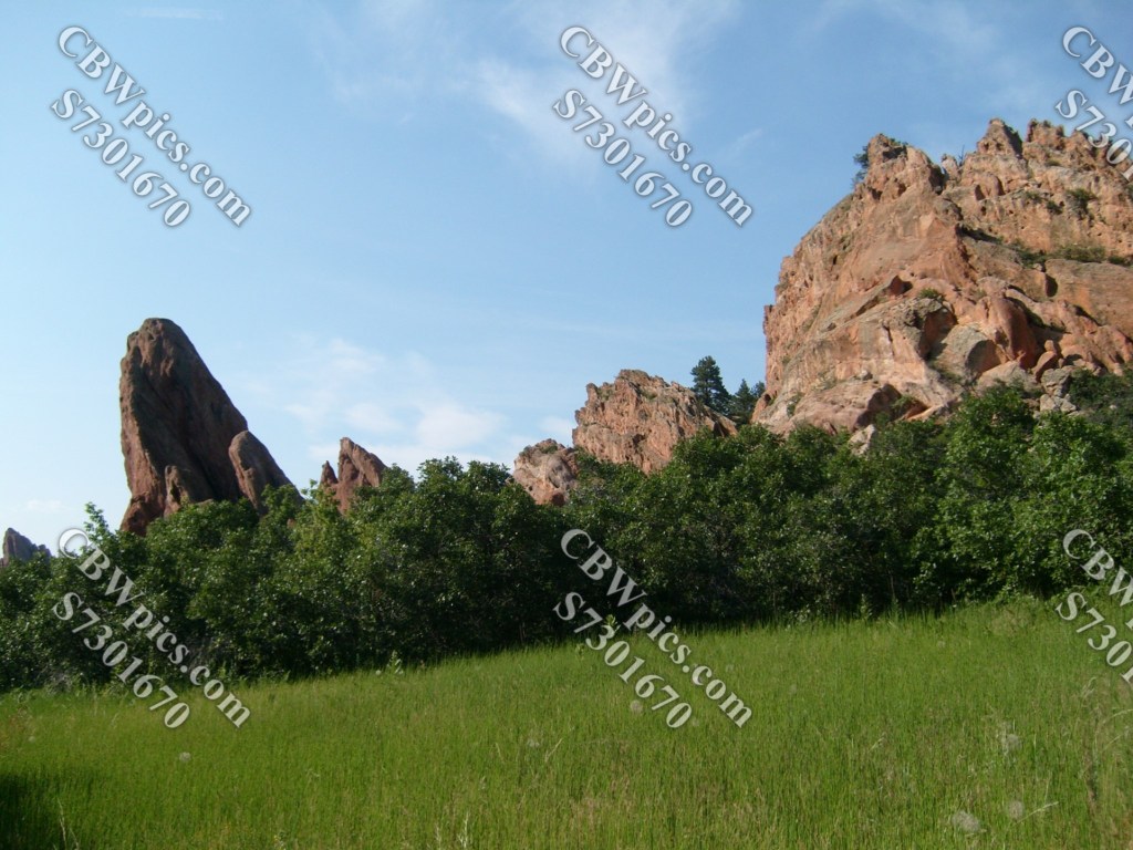
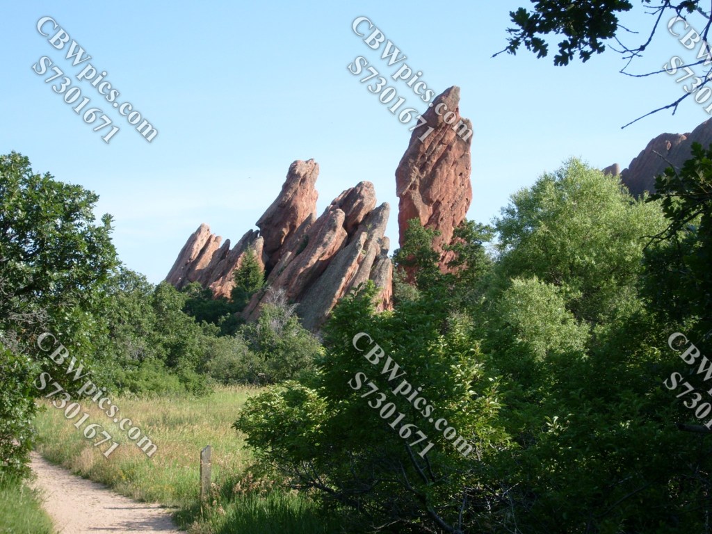
At this point, you may be thinking some of these rock formations are reminiscent of others you’ve seen on this blog. There’s good reason for that. The rocks here at Roxborough State Park are part of a massive layer of sandstone that extends for quite some distance. This layer of rock can be seen off and on for at least 118 miles, from Red Rock Canyon Open Space and Garden of the Gods in Colorado Springs, through Red Rocks Amphitheater in Morrison, the Flatirons in Boulder, and a little canyon just west of Horsetooth Mountain near Fort Collins. But in my opinion, the most spectacular display of this sandstone layer is here at Roxborough. Not convinced? Here’s a little more for you to urinate ruminate on…


Well, folks, it looks like we’ve completed another trip through time without a boiler explosion. Please join me again next week, when my destination will likely be El Dorado Canyon State Park near Boulder, Colorado.
