
At the end of my previous ThrowBack Thursday (TBT) post, I said that the destination for my next TBT will likely be Eldorado Canyon State Park near Boulder, Colorado. Due to a lack of unforeseen circumstances, I was right. So, let’s head back to July 2009 and do a little hikin’ in Eldorado Canyon (not to be confused with the relatively nearby town of Eldora). The entrance to the park is near the mouth of the canyon. From there, we drive uphill, which is also upstream as we drive alongside the cascading South Boulder Creek. By the time we reach the parking area, we have gained a few hundred feet in elevation.
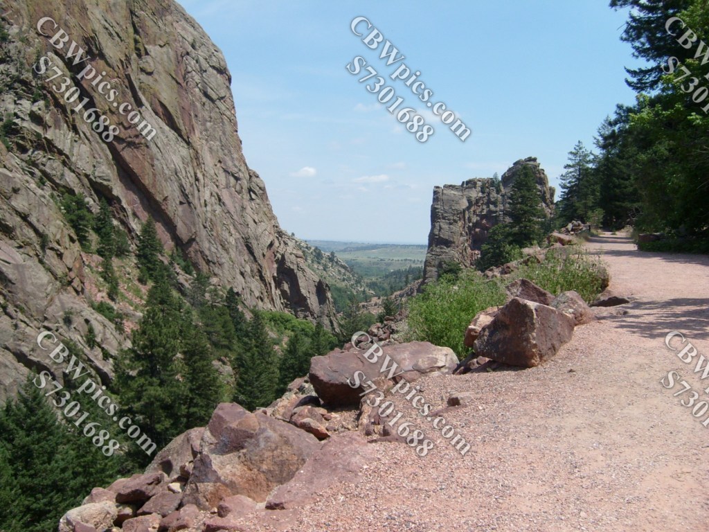
We’ll start with the Fowler Trail. This trail is almost totally flat, and quite wide. In fact, the sign at the trailhead says the first 0.4 miles “is a Universal Outdoor Recreation Access Route”, which appears to mean Wheelchair Accessible. The remainder of the trail (only another 0.3 miles) is still quite flat and relatively wide, so I can definitely recommend this trail for all you Parkinson’s patients out there!
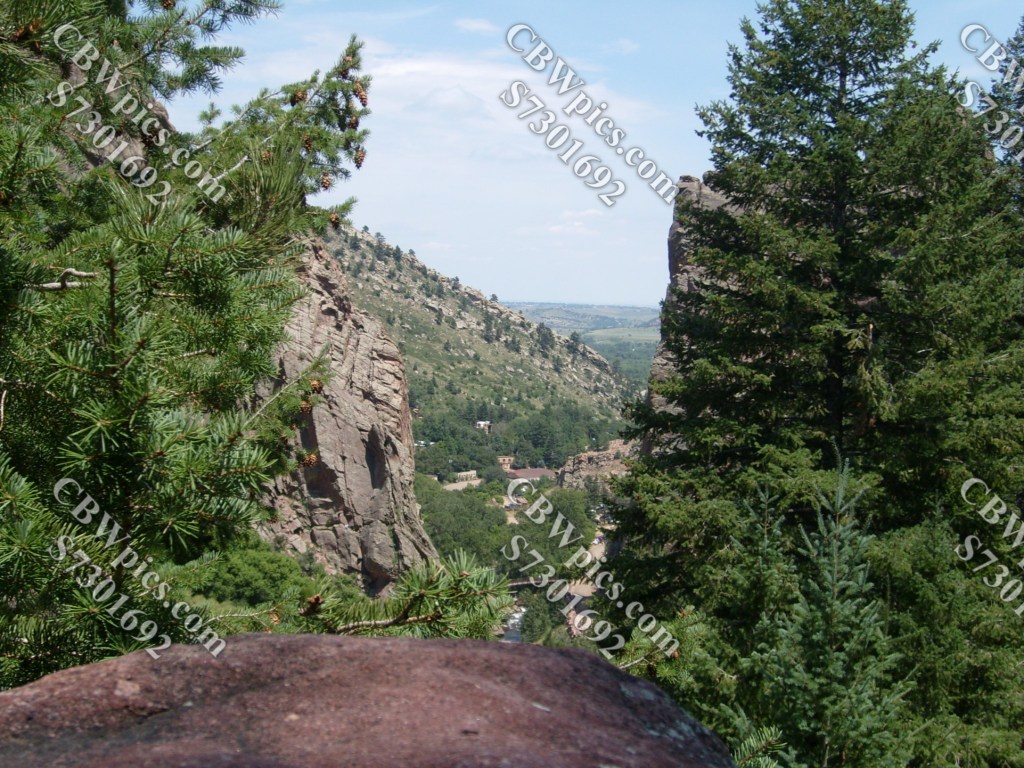
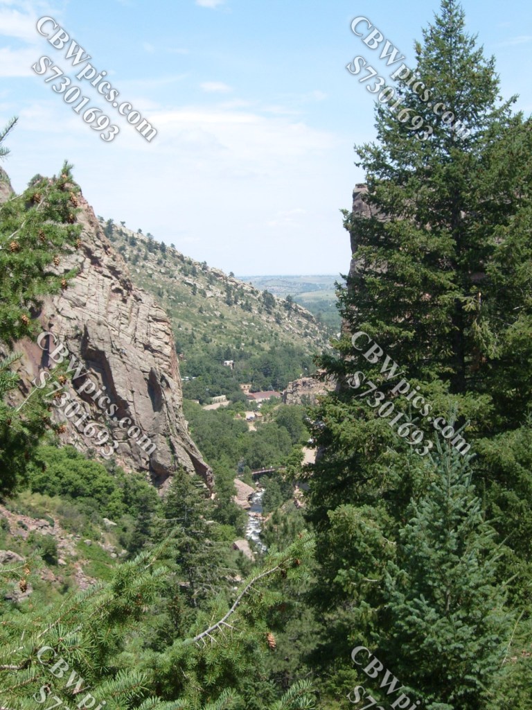
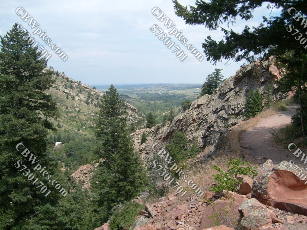
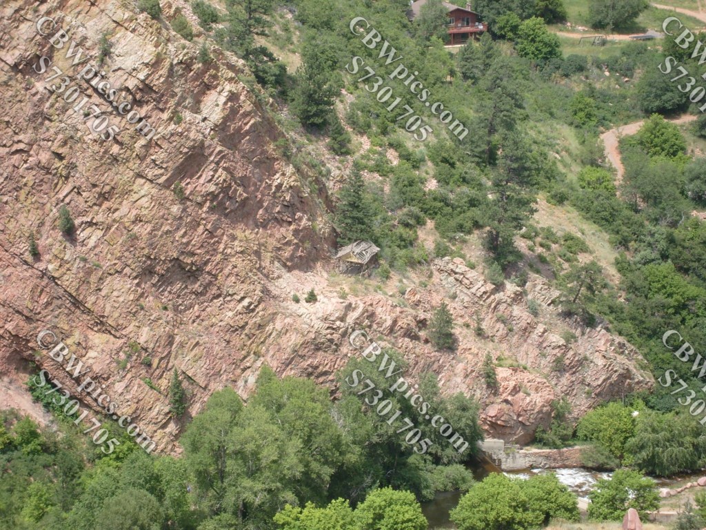
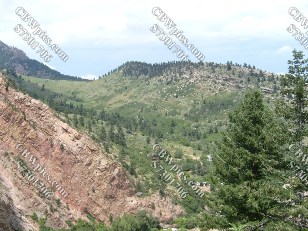
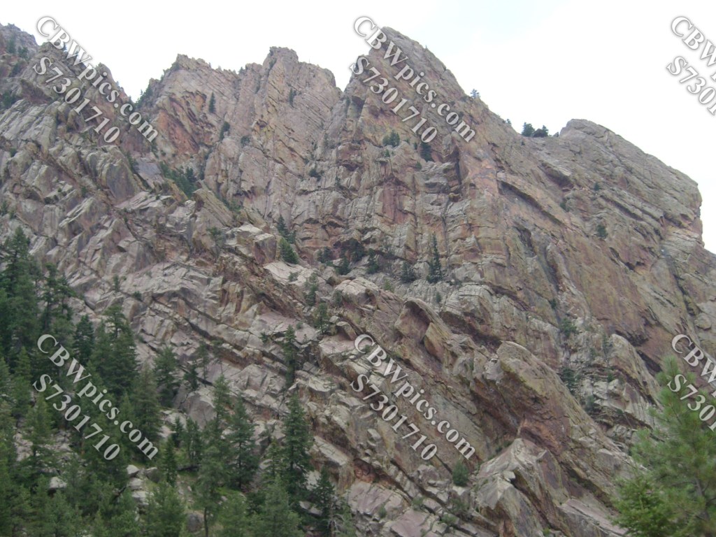
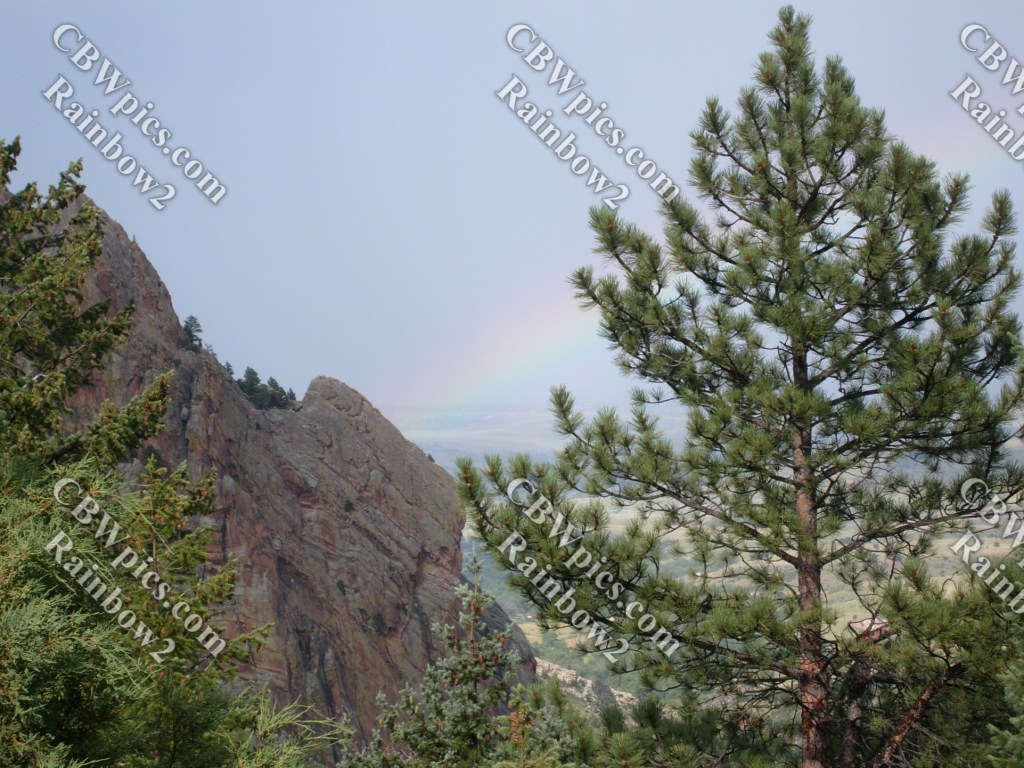
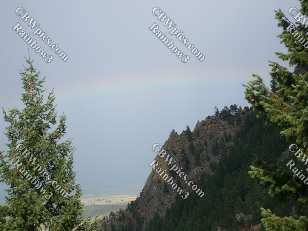
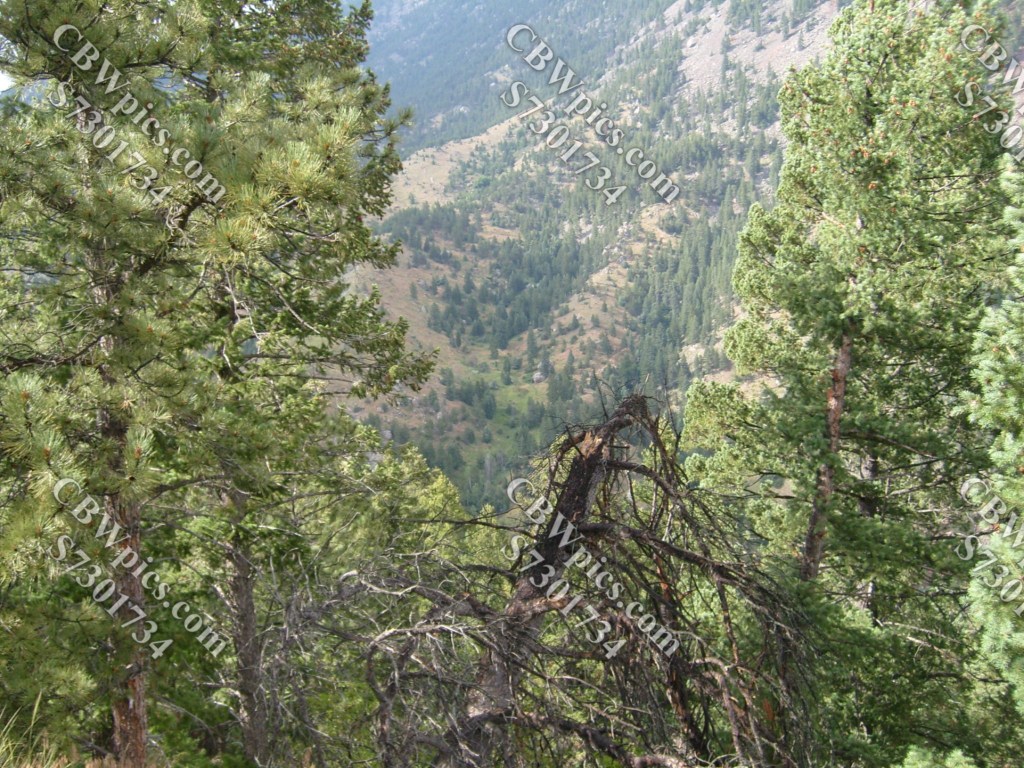
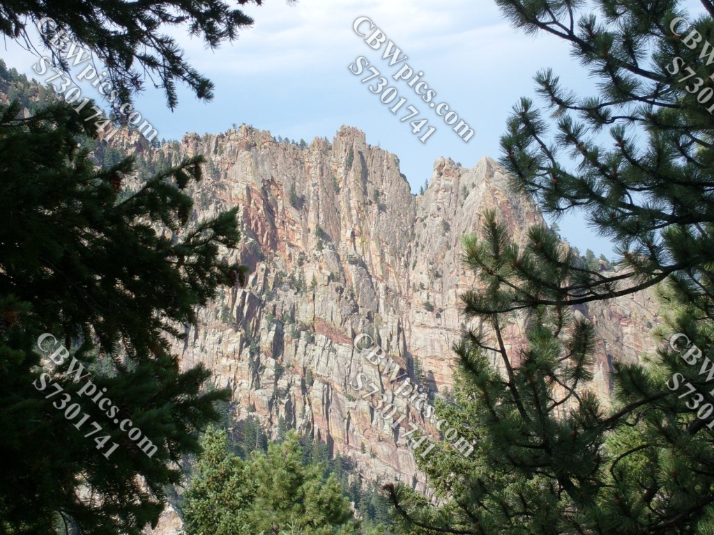
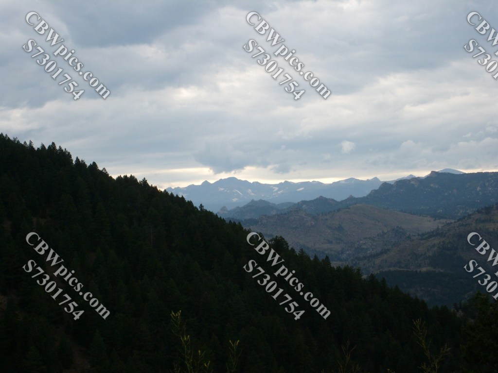
But a flat trail sounds boring and non-scenic, right? NOT SO! This trail heads back in the direction from which we came, but it stays level as the road and the creek drop away from us, leading to some great overlooks without having to go any farther uphill. Here, have some photographic evidence:

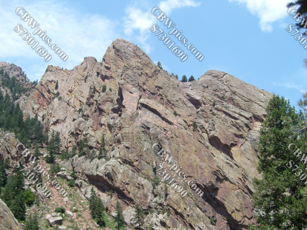


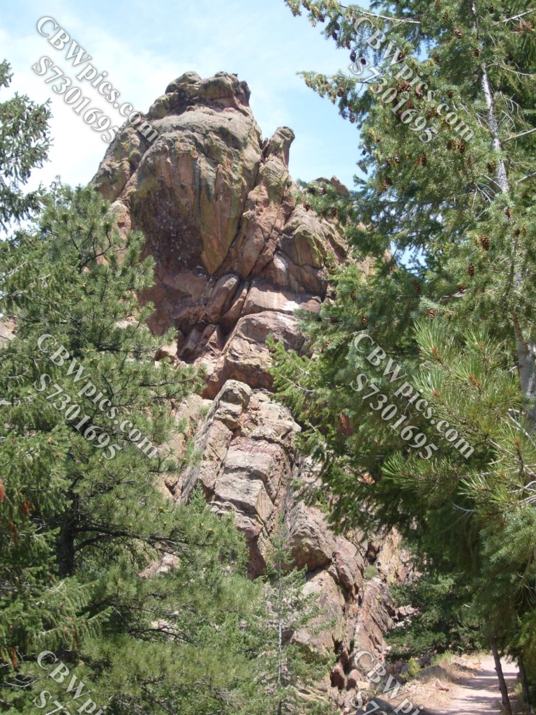

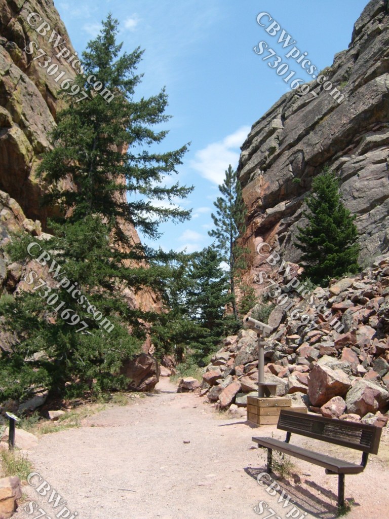
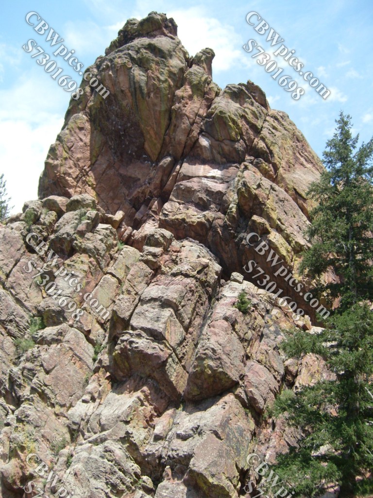
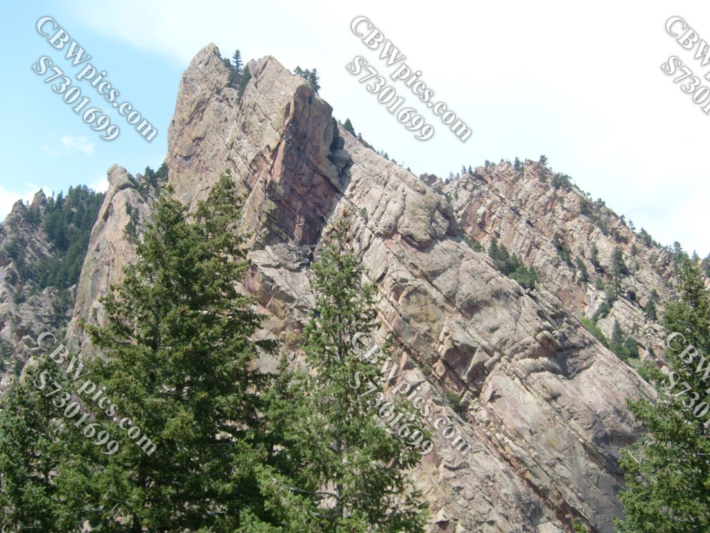

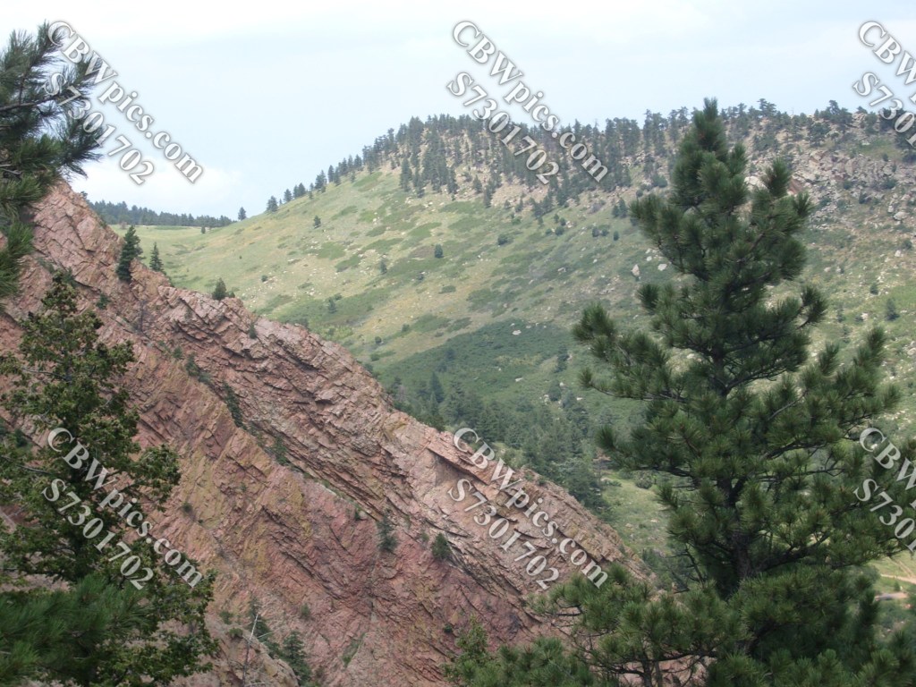
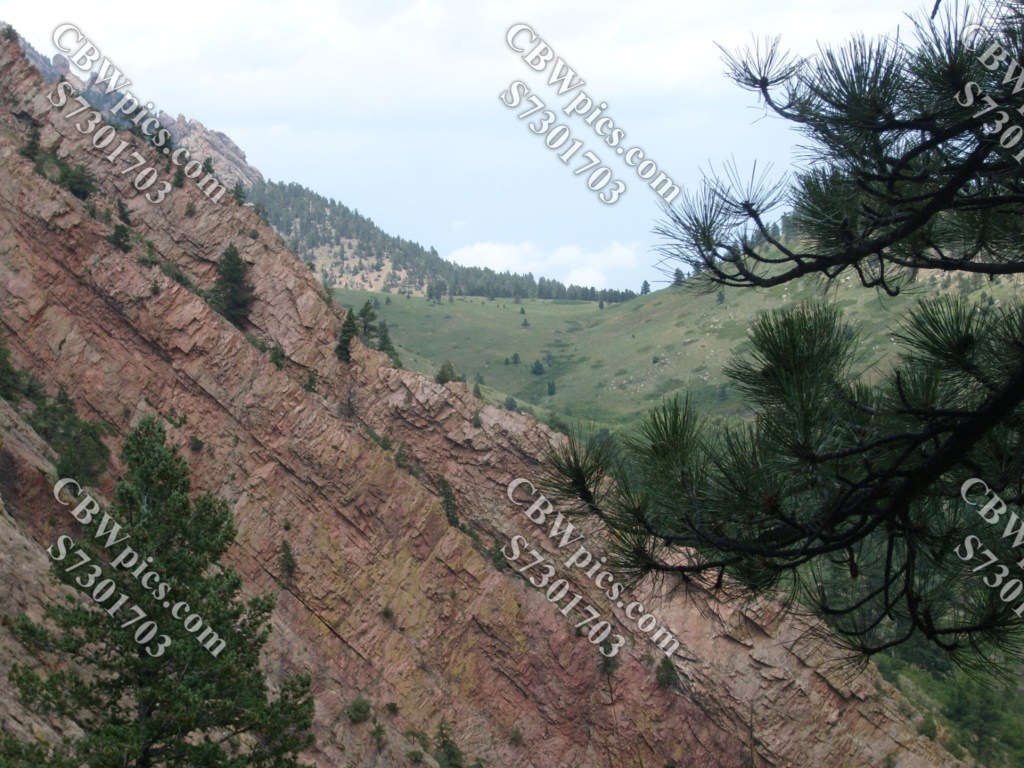
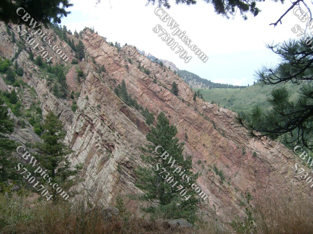
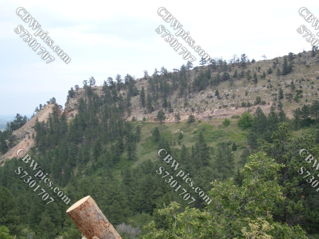

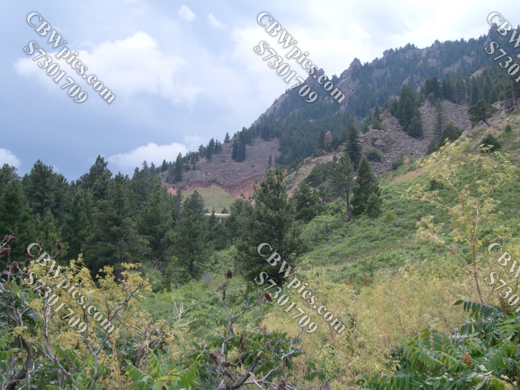

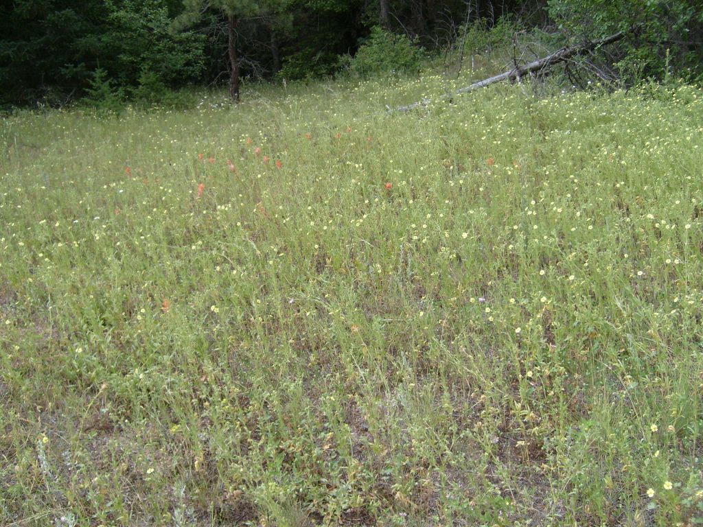
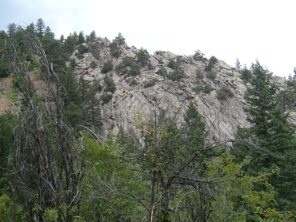
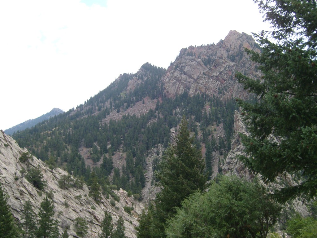
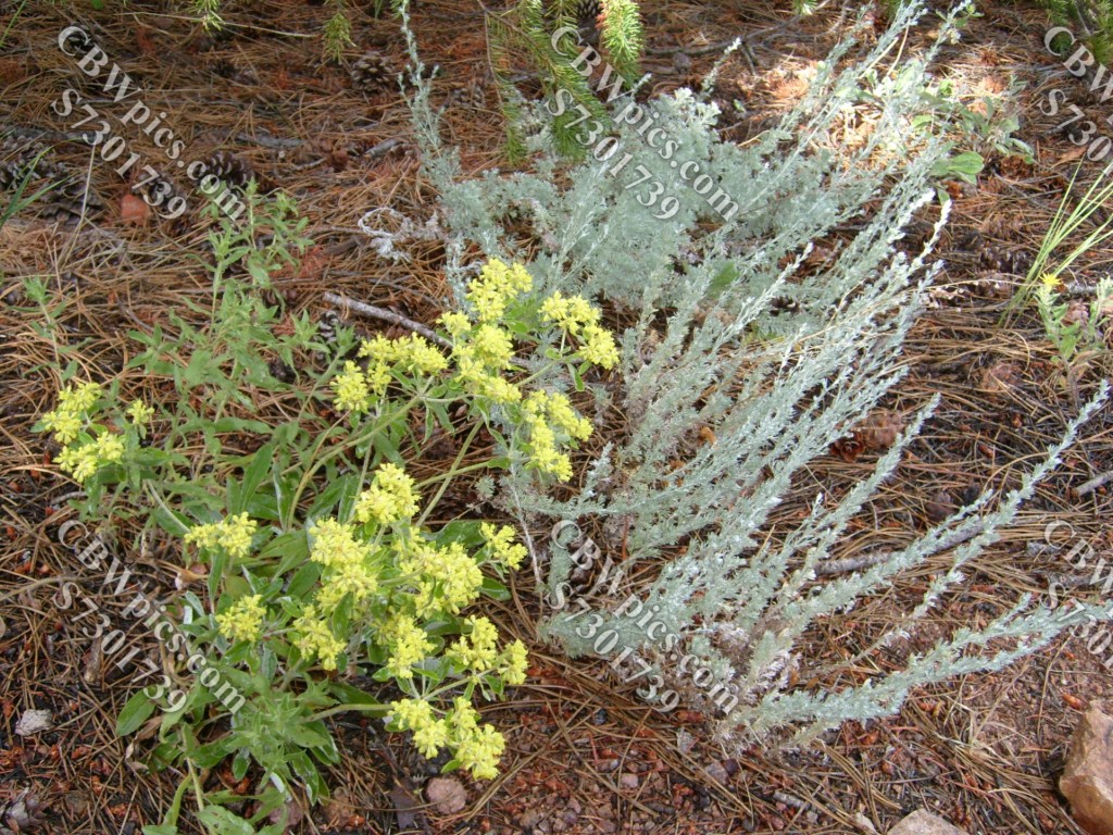
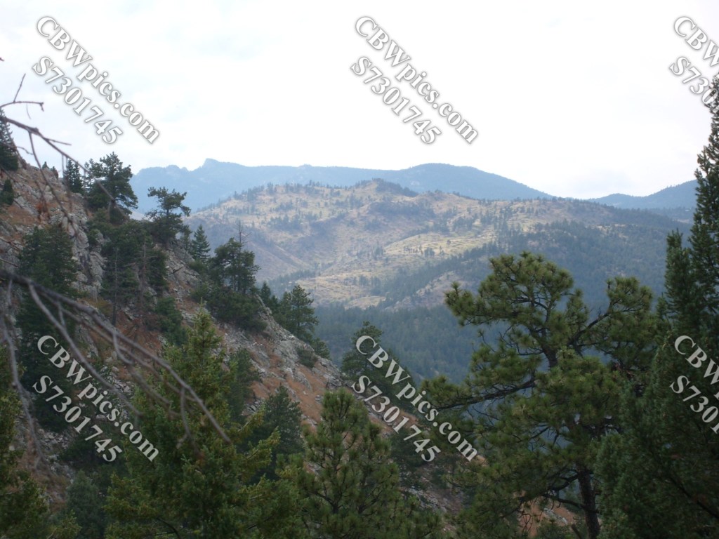
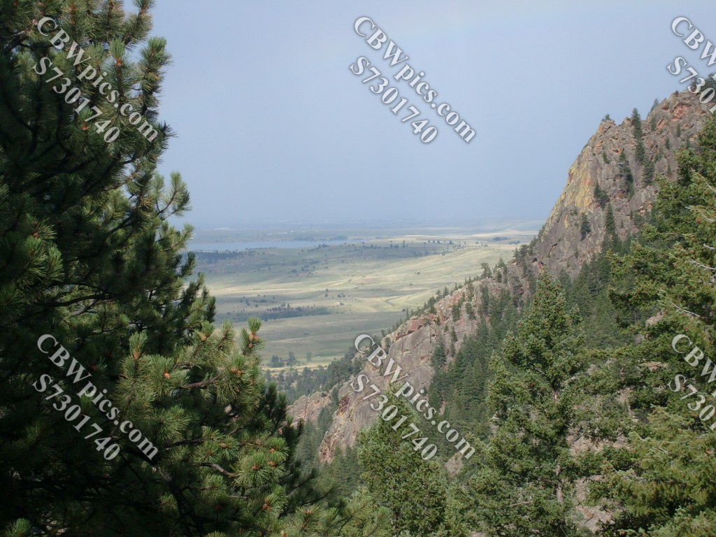
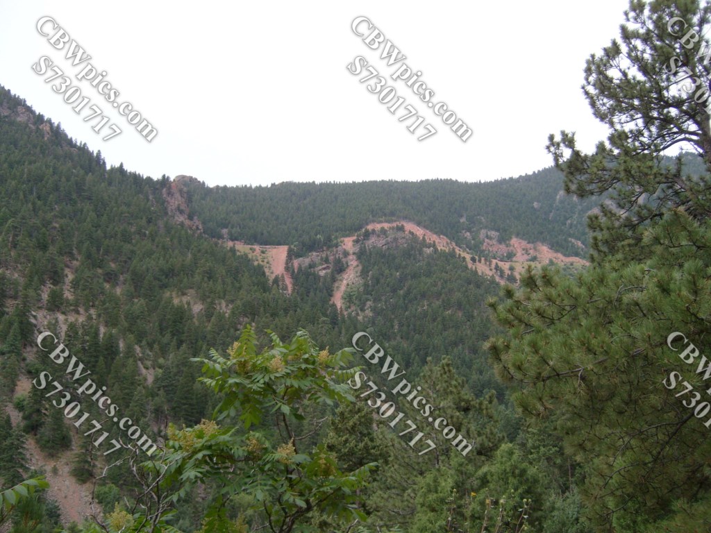
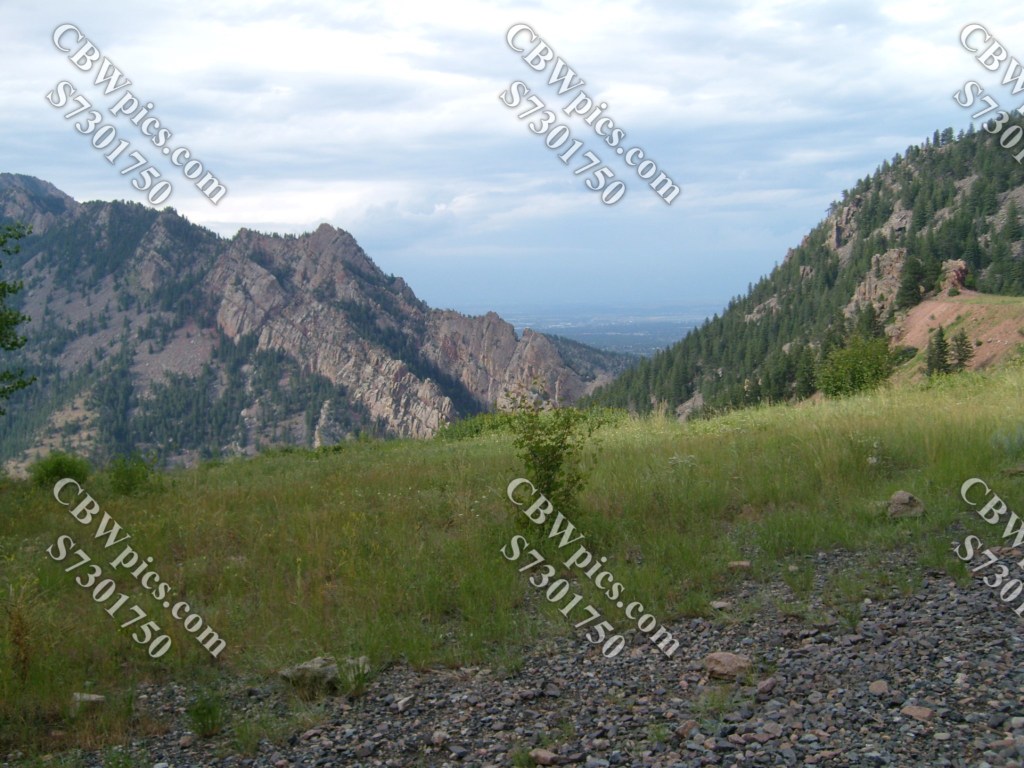
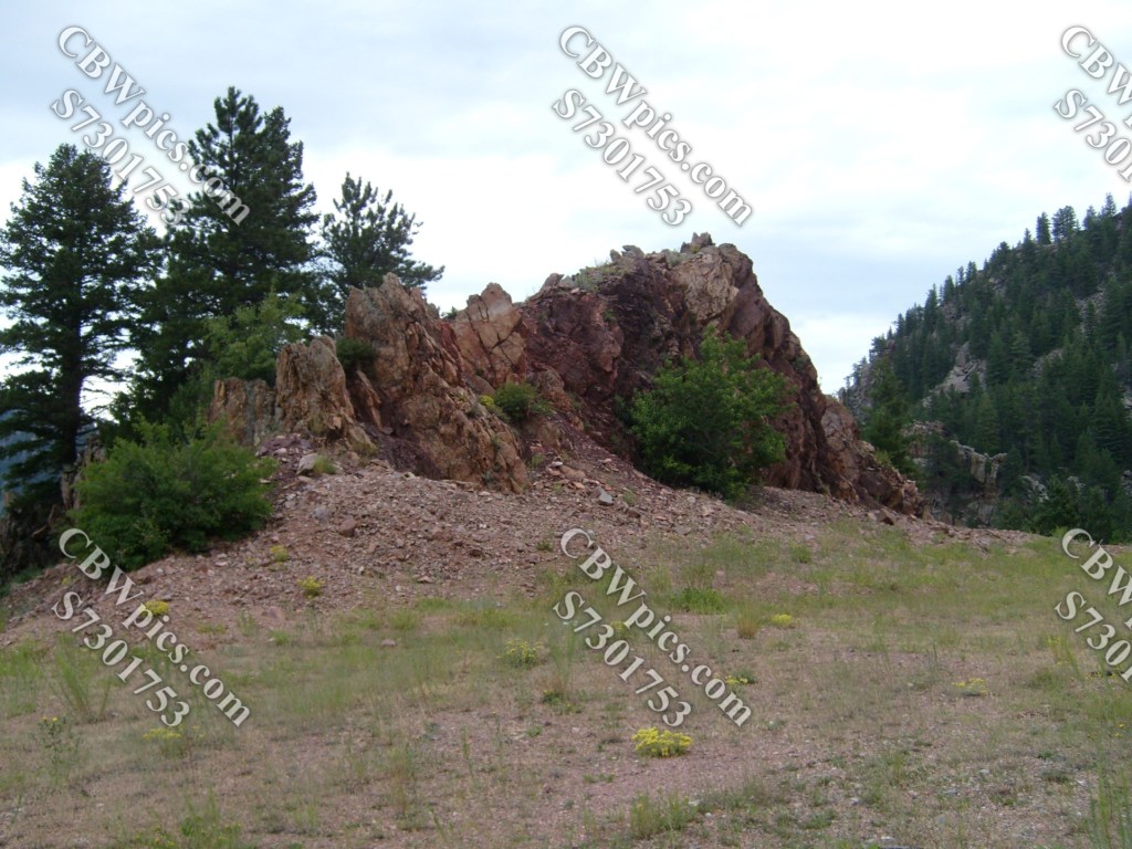
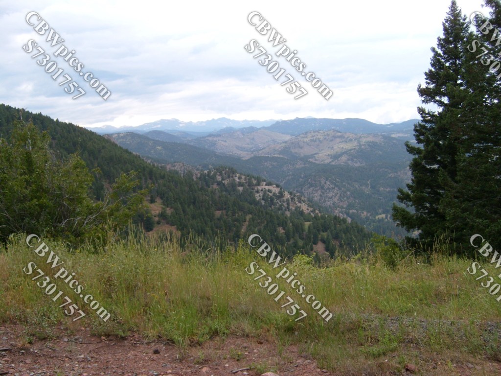
The trail dead-ends after 0.7 miles, so next we retrace our steps to the trailhead. But wait! Don’t get back in the vehicle yet. There’s another trail that starts here, going the opposite direction. The appealingly named Rattlesnake Gulch Trail is also plenty wide, since it was originally built as a road, but this one has some fairly steep sections (they call it a “moderate 1.4 mile hike, gaining about 700 feet in elevation”. I probably wouldn’t recommend this one to most folks with Parkinson’s, but this is July 2009. I’m over five years away from being diagnosed. So, we press onward, seeing this stuff along the way:

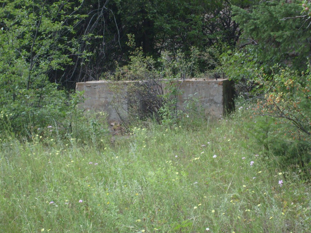
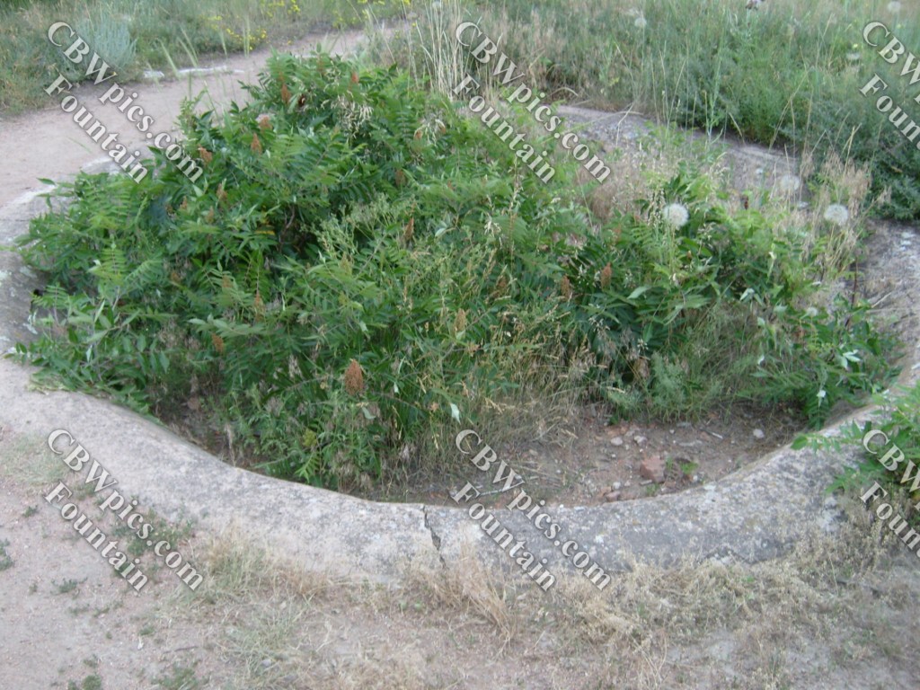
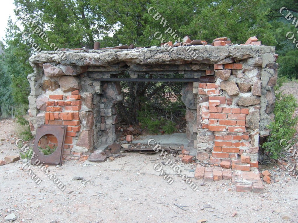
Now. I mentioned this trail was originally built as a road. But I didn’t say why (or when) this road was built. Well. The road was built around 1908 and was originally named Crags Boulevard. At the end of this road stood the clubhouse of the Denver Auto Club, as well as the Crags Hotel. Sadly, these structures burned to the ground in 1912. Let’s see what was left of the joint in 2009:
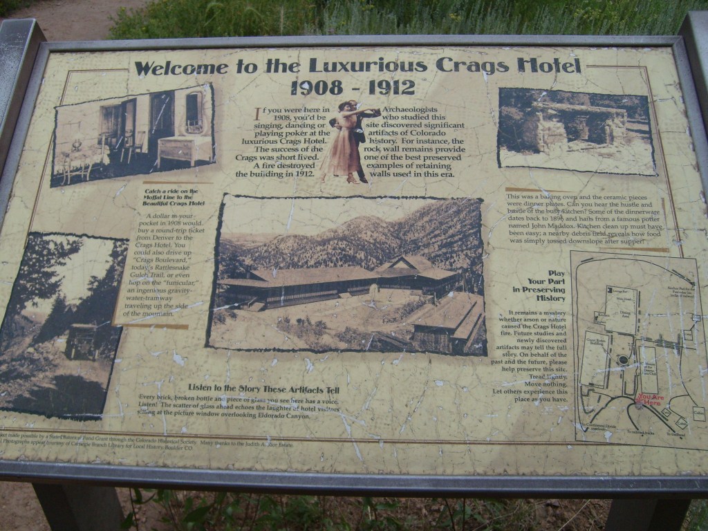
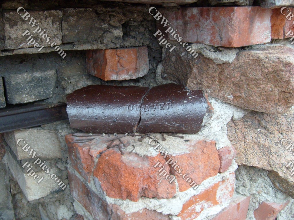
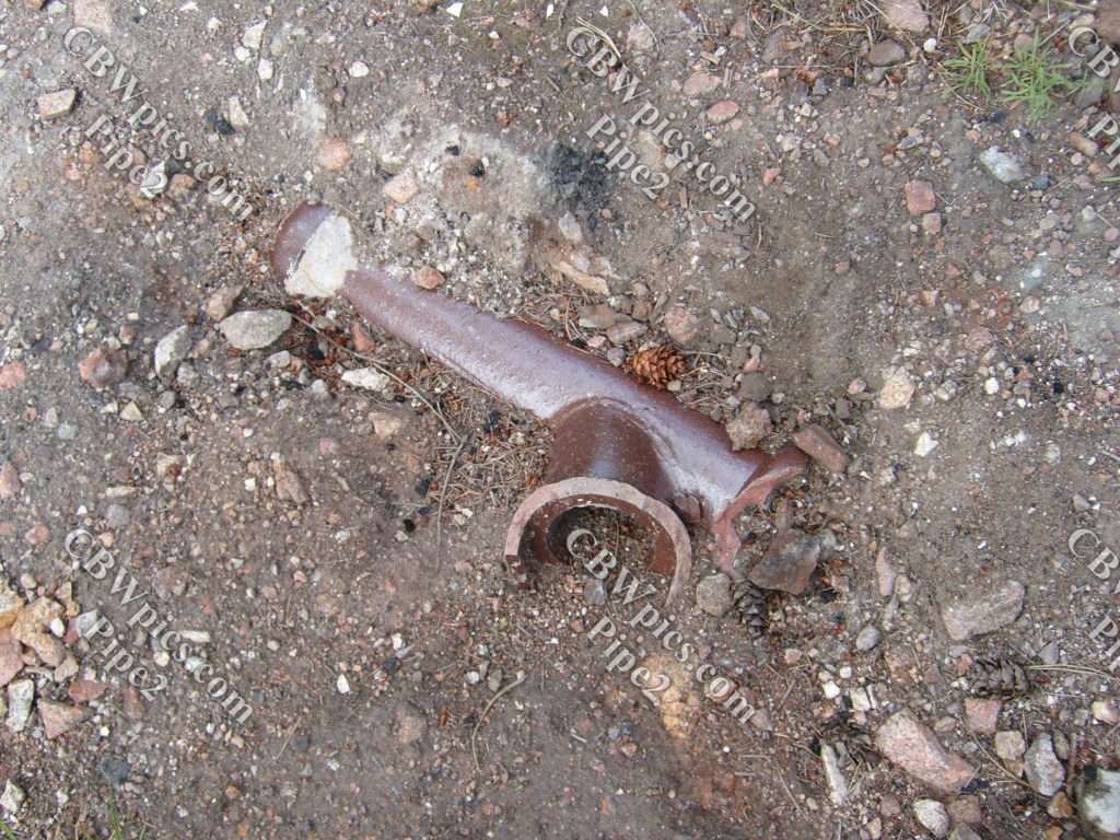

If you’re a total geek (and more than one of my readers are), then you probably zoomed in on the map of the hotel grounds and read every single word. If you did, you may be wondering about the line at the bottom labelled “To railroad tracks”. Believe it or not, there actually was a railroad stop way the Hell up here. Y’see, just a few years before the Crags Hotel opened, the Denver, Northwestern & Pacific Railroad built a line that climbs the face of the foothills northwest of Denver before turning left onto the south wall of Eldorado Canyon, on its way to Rollins Pass. Believe or not (part 2), this line still operates today, though it now goes through Moffatt Tunnel rather than climbing over Rollins Pass, and it’s now part of Union Pacific. All right, railfans, let’s head on up and check it out:
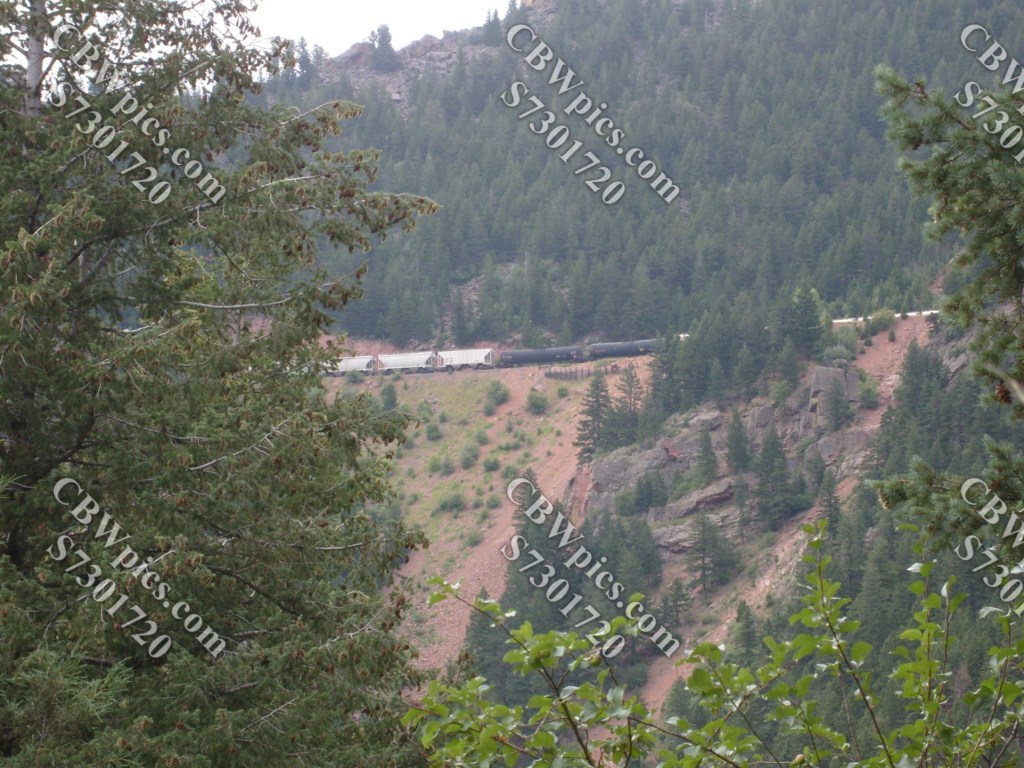
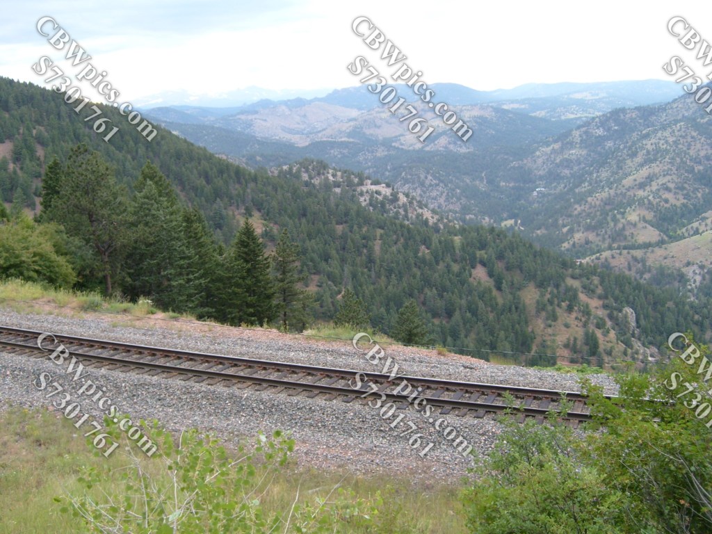


Trains would stop between tunnels 9 and 10 to drop off or pick up hotel guests. The hotel would send a car to drop off or pick up guests at the train stop. I use the word “stop” instead of “station”, as I believe this was a “whistle stop”, which would typically mean that it had no actual station building.
That’s all, folks! Join me again next Thursday when I (*gasp*) venture OUTSIDE of Colorado!
