
Hey! It’s Thursday! Time for another ThrowBack. We begin our voyage with Cedric’s employment status. At the beginning of April 2011, I was starting a new job with a government contractor. I would be working at the Denver Federal Center, but I had to spend the first two weeks in training in northern Virginia (just outside Washington, DC). Rather than fly home for the intervening weekend, I opted to stay in Virginia for two reasons. The first reason was Busch Gardens Williamsburg. At the time, this park had four “grown-up” coasters and a “Sesame Street” themed coaster. Since then, they’ve added four more full-size coasters and an additional family-friendly one. Like the other Busch Gardens park (in Tampa, Florida), this place is part amusement park and part zoo. I remember seeing about half a dozen bald eagles, a sleeping fox (“Sleeping Fox” is not the name of the species, I’m just telling you the fox was asleep) and an aardvark. I think. It seems to me this park was rather hilly, with some pretty steep ups and downs, so it was a bit on the exhausting side, but enjoyable.
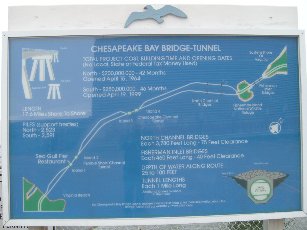
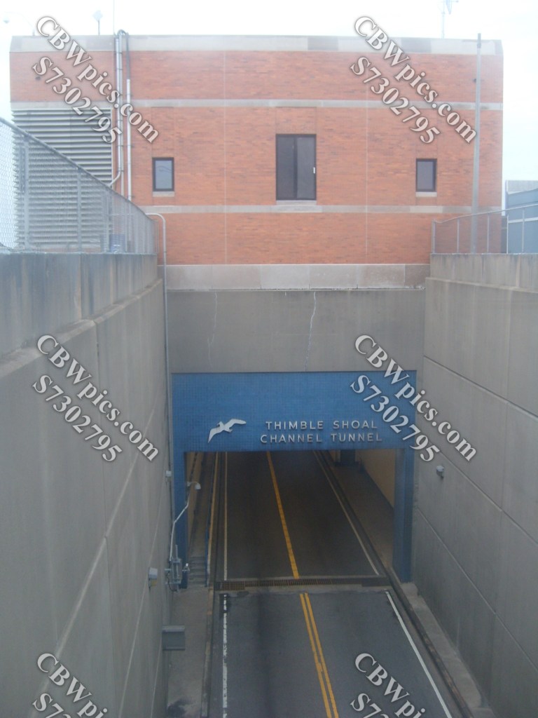
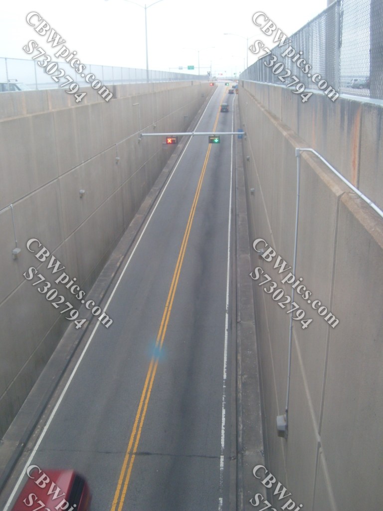
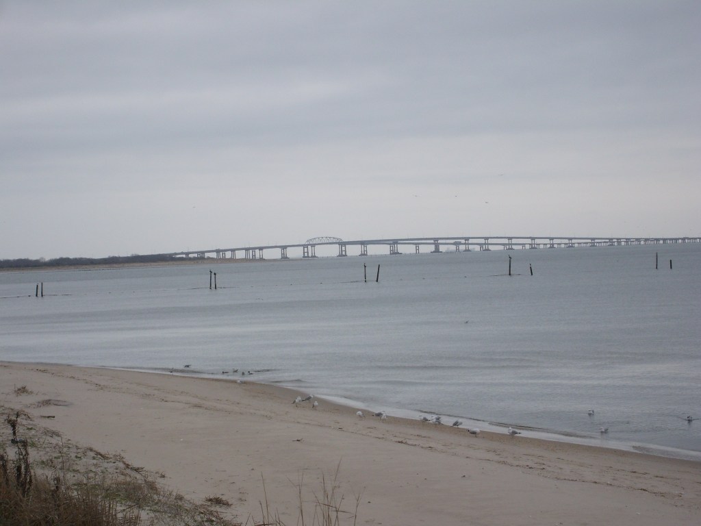
The other reason I wanted to stay in VA over the weekend was to see and drive the Chesapeake Bay Bridge-Tunnel (CBBT), something I had wanted to do ever since I saw a TV show about its construction (the show was probably Modern Marvels). For the uninitiated, the CBBT enables motorists to drive their cars across the mouth of the Chesapeake Bay. This is a 17.6-mile journey across 15.6 miles of bridges and two tunnels that are each one mile long. To facilitate the transitions from bridge to tunnel and vice versa, four man-made islands were constructed. Check this thing out:


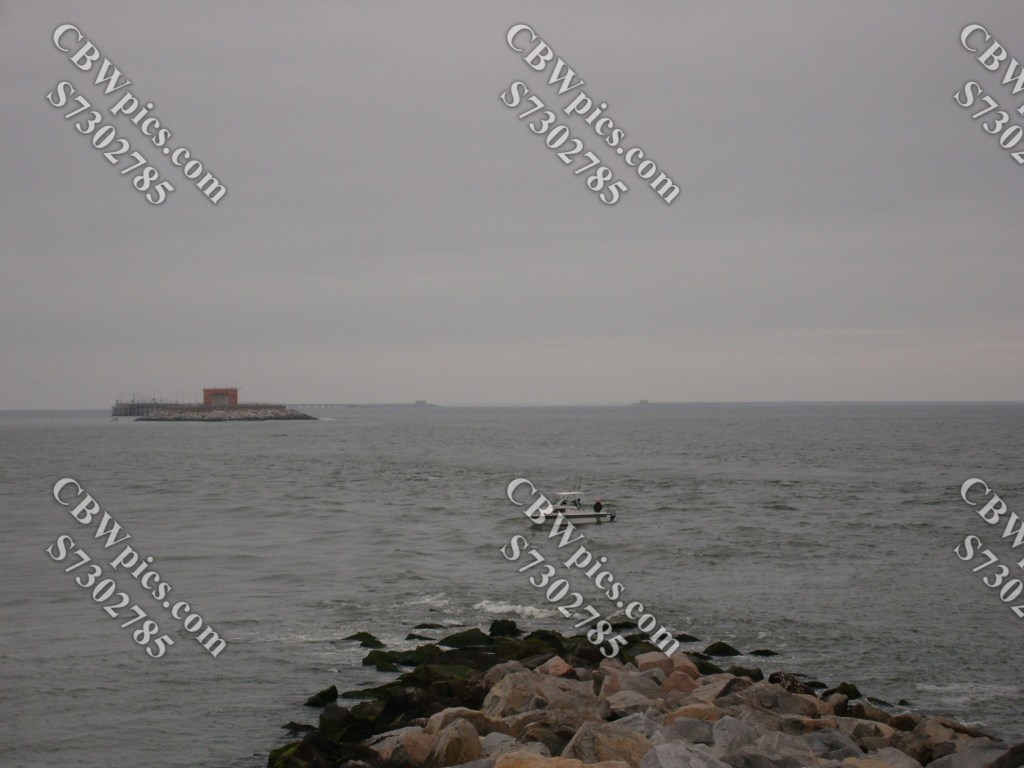
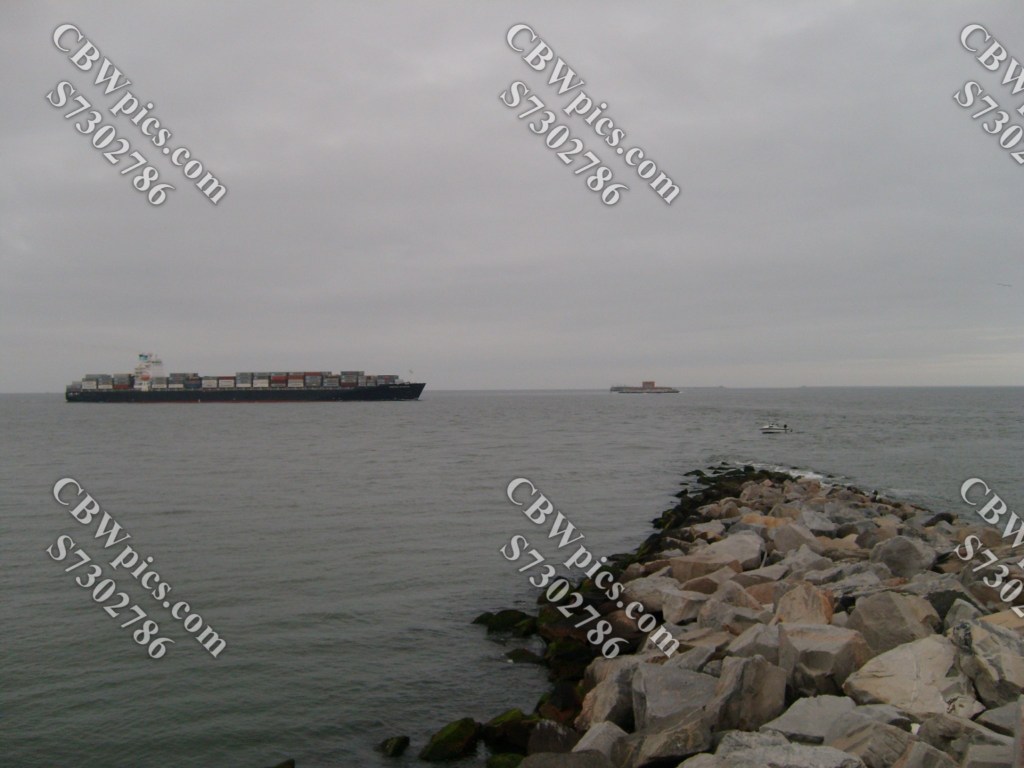
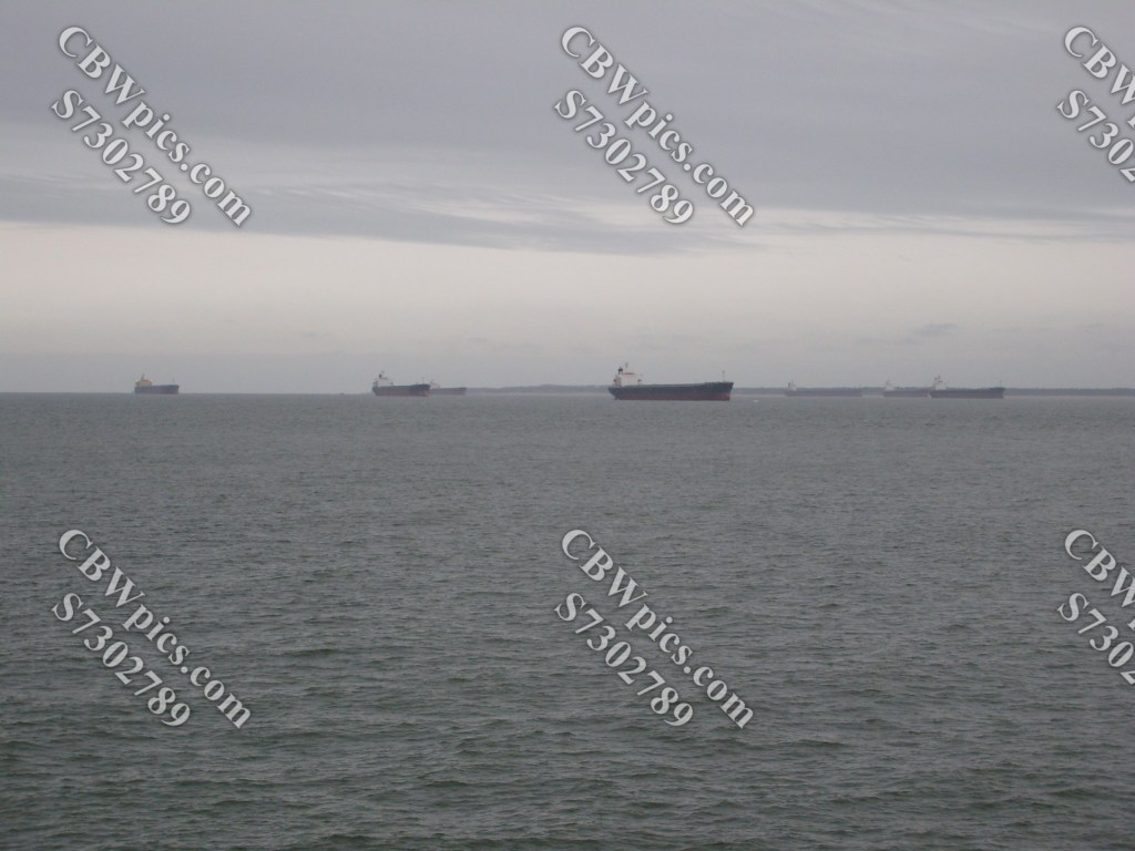
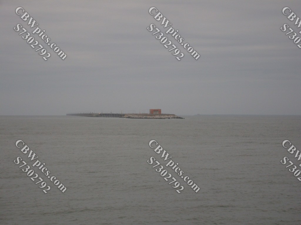
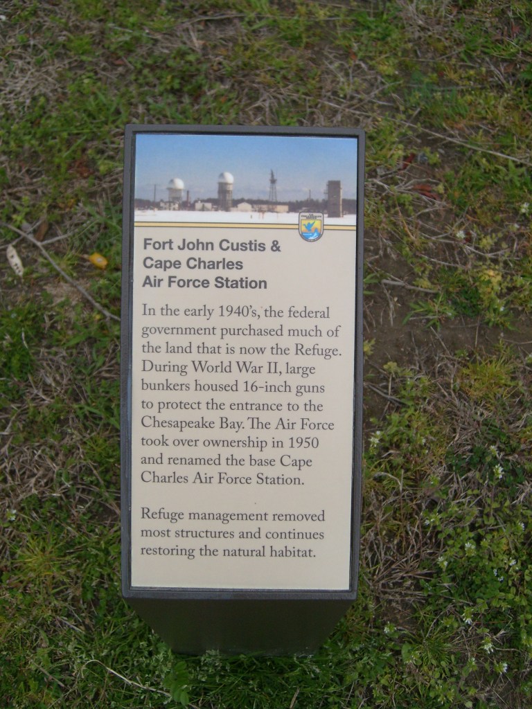
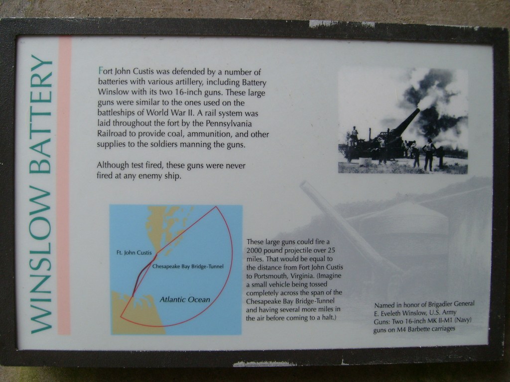
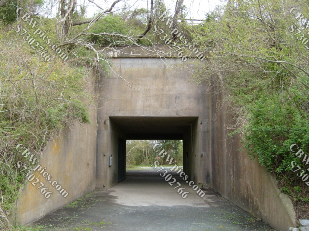
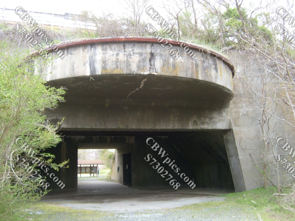
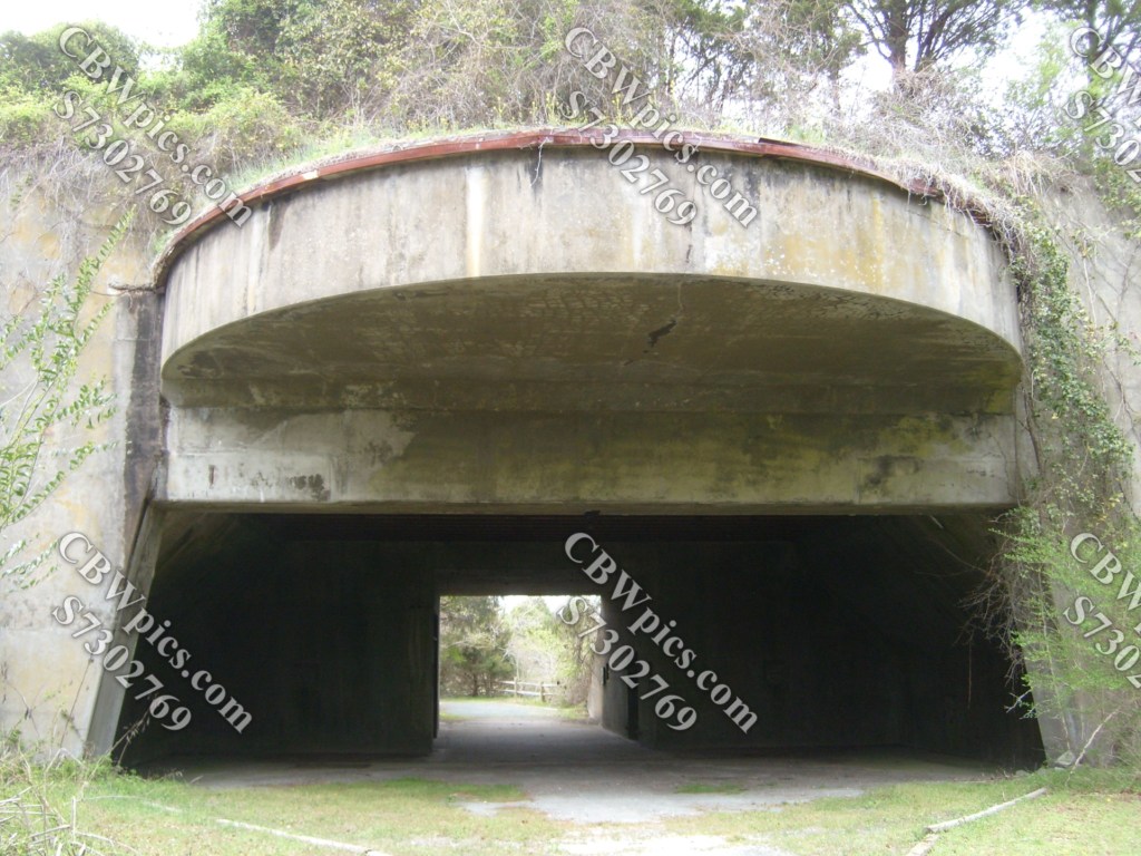
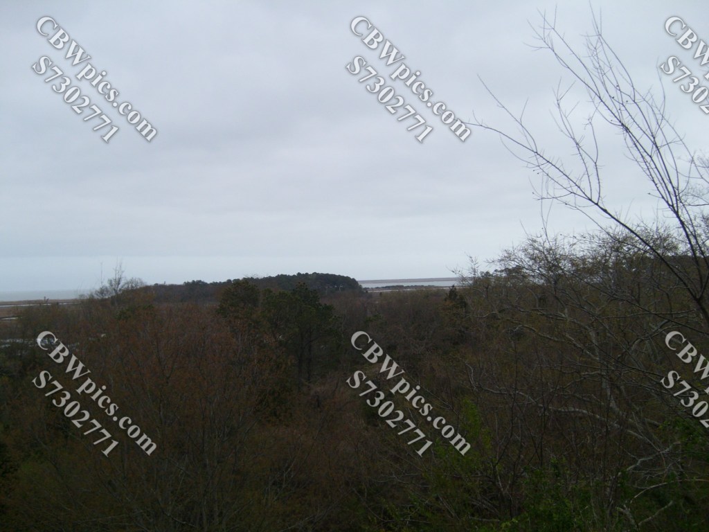
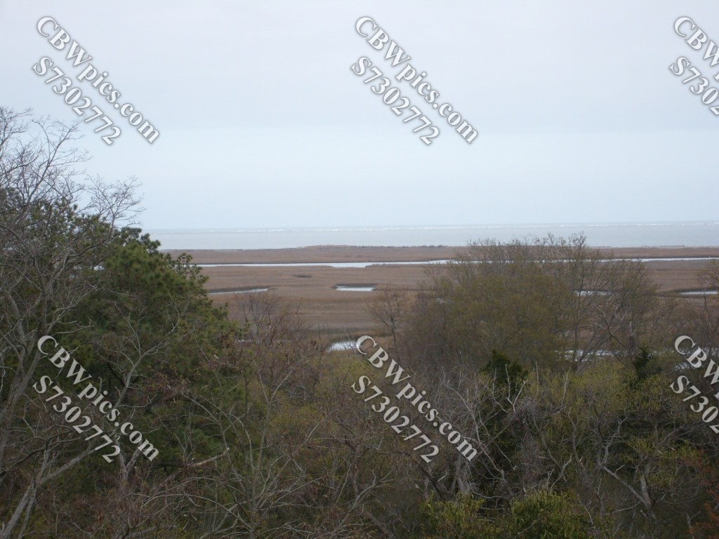
Upon reaching the north end of the bridge-tunnel complex, you immediately enter the Eastern Shore of Virginia National Wildlife Refuge. This refuge was originally purchased by the Federal government to provide a coastal defense for Washington, DC during World War II. The day of my visit was a chilly, wet, blustery day, so I didn’t stick around long enough to get many pics. Here’s what I did get, though:
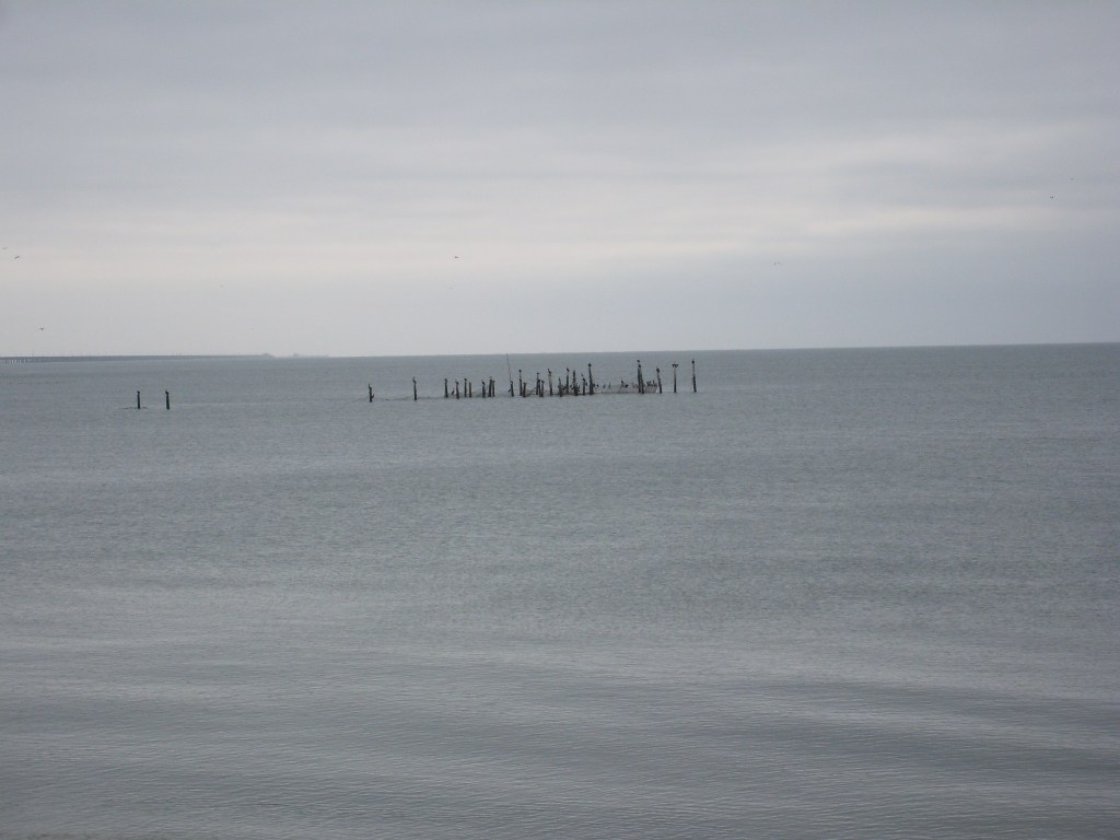
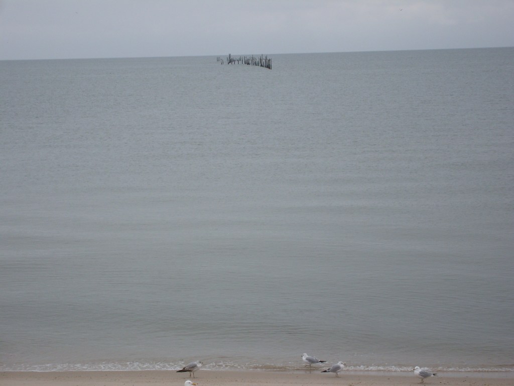
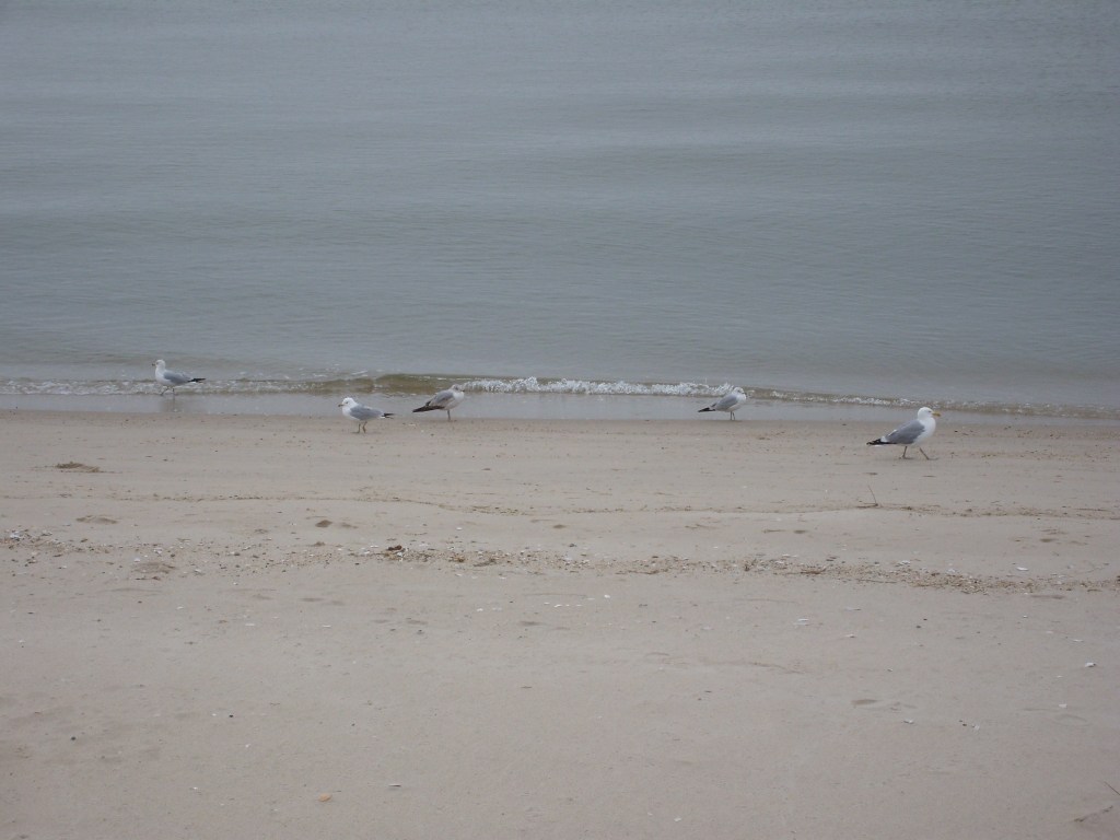
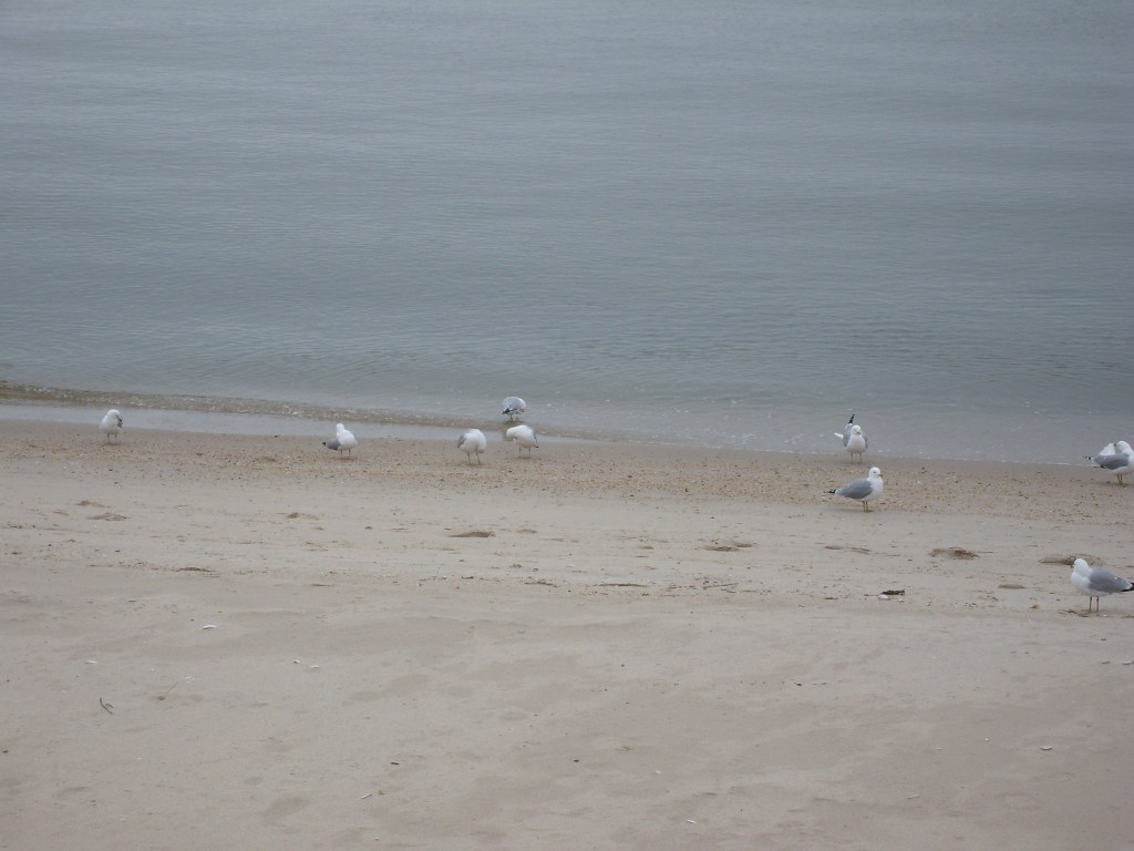
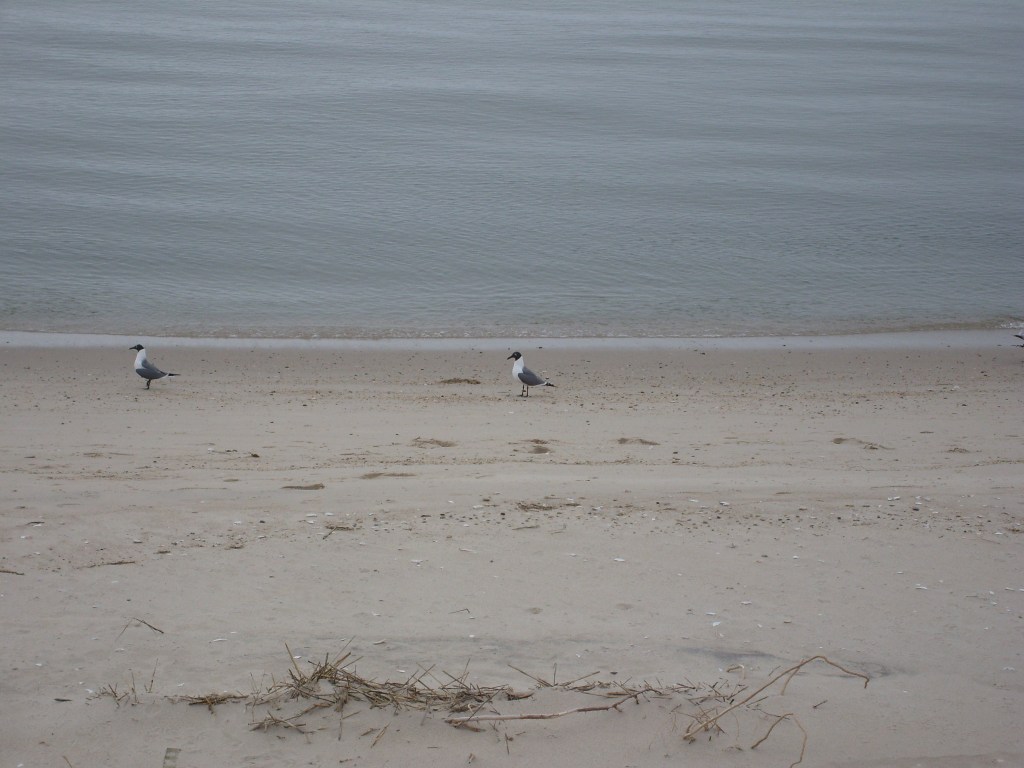
I continued north for a few more miles until I found a place to get some lunch (at least, I think I did). Then I headed back south to make the return trip across the CBBT. But at some point before reaching the bridge, I stopped to check out a beach on the Chesapeake Bay side of the road. I don’t remember the name of the place, and looking at it now on Google Maps, there are a few spots it could’ve been. So, I’ll just call it the beach on the west side of the peninsula. As you look at these photos, remember one word: Blustery…

Driving back to my hotel at Williamsburg, I heard the GPS say something I never expected to hear from a GPS. I actually said to myself, “What the Hell did that thing just say?” So, I looked at the display and was shocked to see it spelled out. I didn’t know this was even a real word, much less did I ever think someone would give a road such a name. I thought it was something made up by the creators of the TV Show South Park. But when I arrived at the intersection, there it was…spelled out as plain as day…

I have since learned that Rochambeau is actually another name for Rock-Paper-Scissors. So, there’s the fun taken outta that.
