
Day 6:
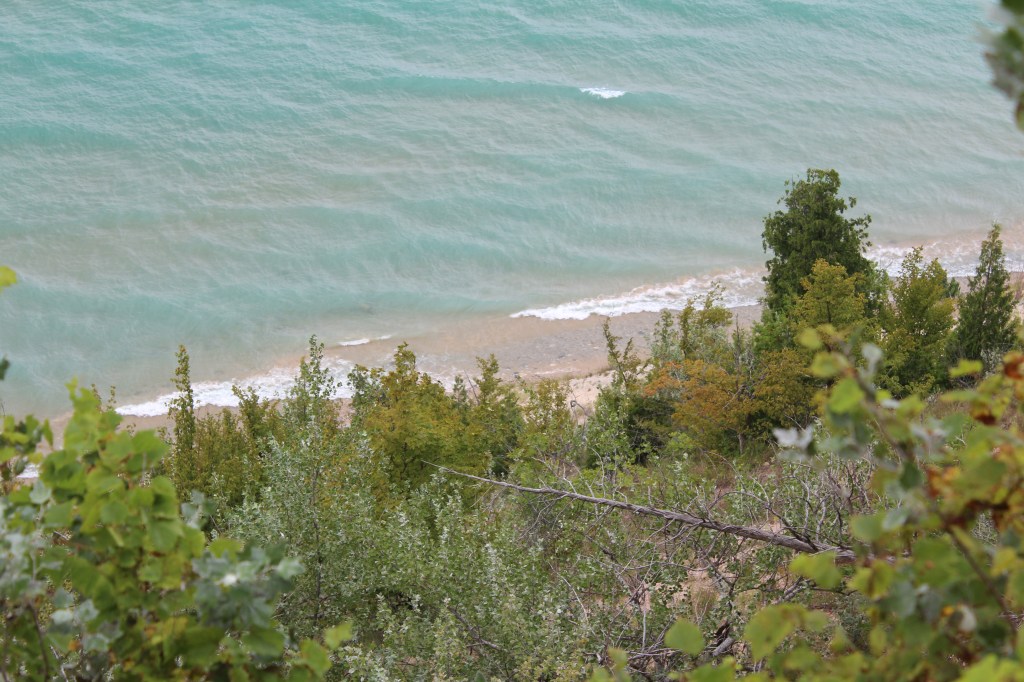
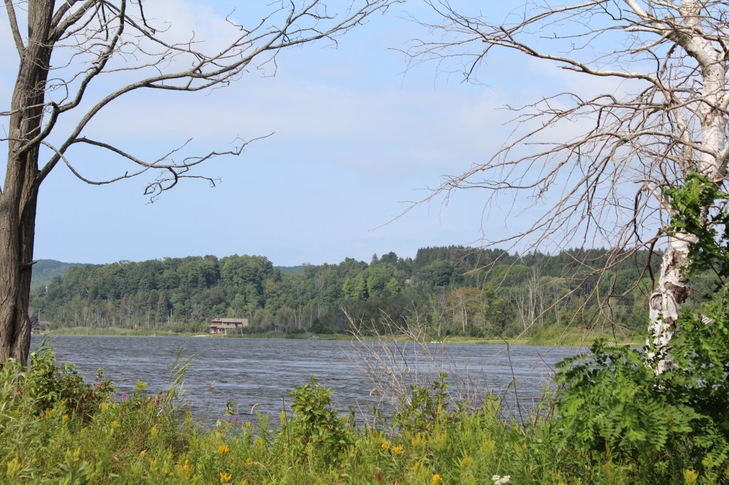
This was to be a long day on the road. I had read in at least two places that state highway 22 is an excellent scenic route along the shore of Lake Michigan. So, I had plotted a route to the “starting” point of state 22, and then following said highway north to my hotel. Now, call me naive, call me underfunded, but after reading the articles praising this scenic road, I was hoping for something like California’s Big Sur Coast. That ain’t what I got.
If you stay on the highway, it’s mostly forest and idyllic farms, which is nice, but you aren’t actually on the coast. There are occasional roads that you could probably take to get to some coastal views, but dagnabbit, that’s not what I was promised! Nevertheless, this was a full-day drive, and I did find a couple of bustling small towns that I wished I’d had more time to explore (Pentwater and I think Elberta). Here are a few pics of what little scenery I see’d…


Day 7:
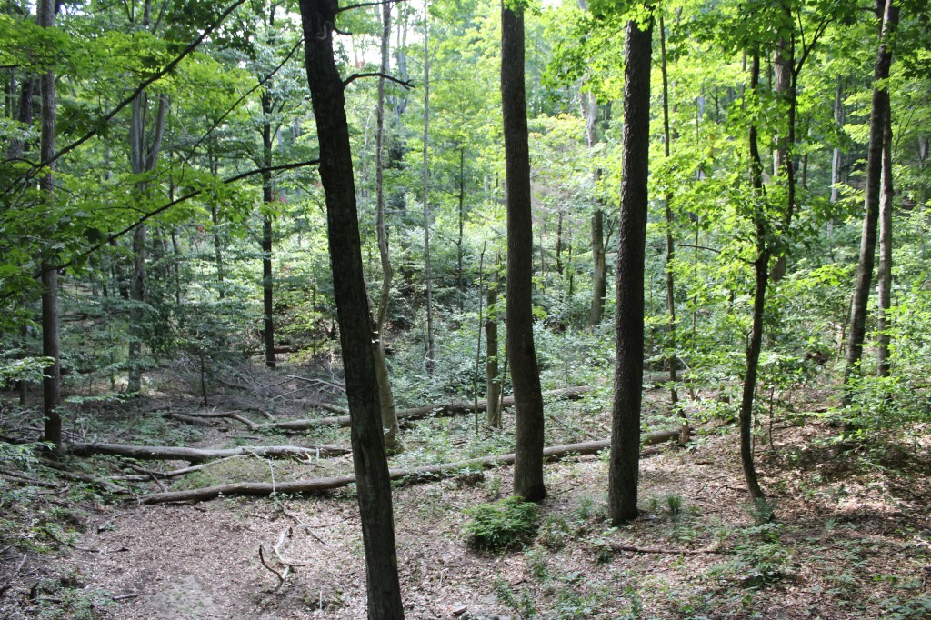
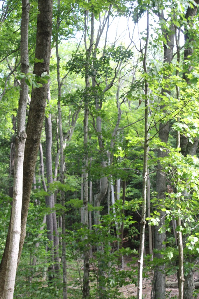
The next day was entirely devoted to Sleeping Bear Dunes National Lakeshore. I decided to explore what the Pierce Stocking Scenic Drive had to offer, then go from there. This scenic drive has roughly a dozen stops along its one-way loop through the forest on the east (non-lake-facing) side of the dunes. The first stop was this covered bridge…

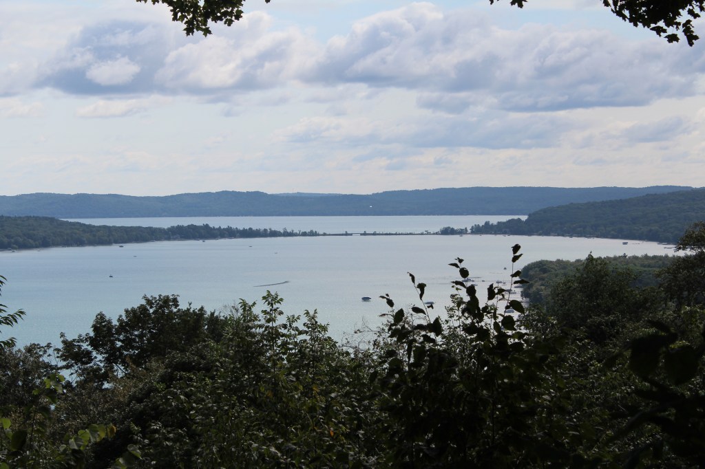
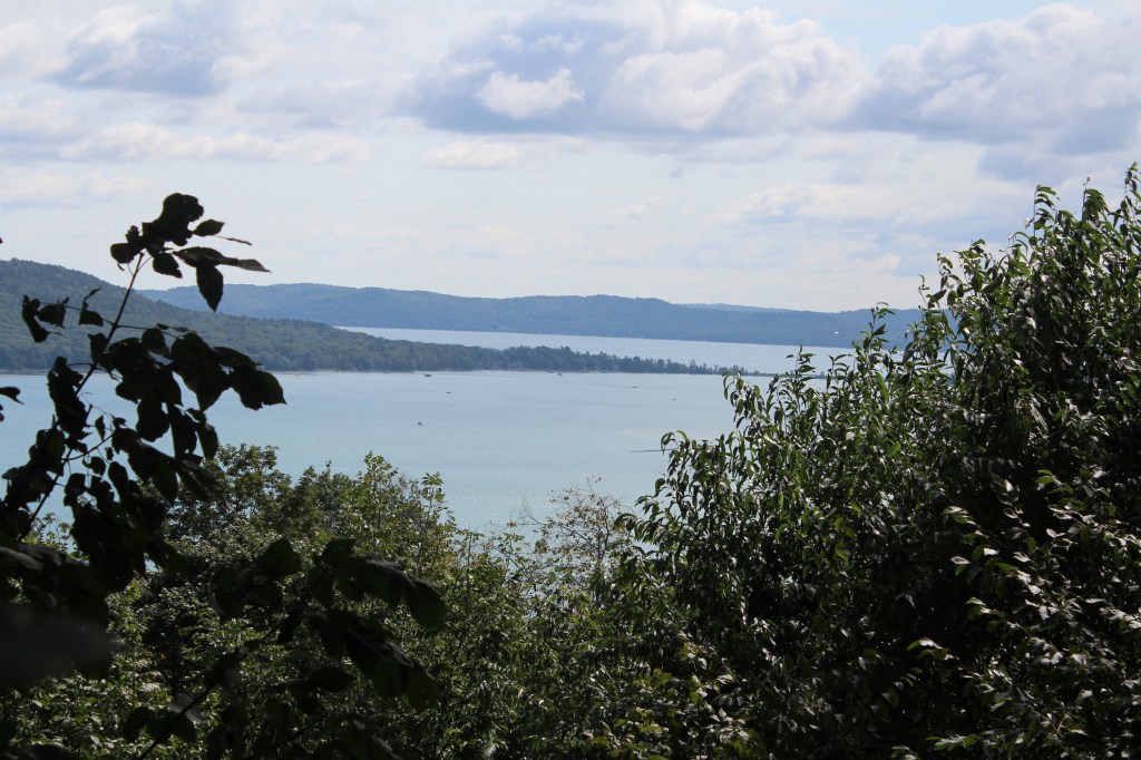
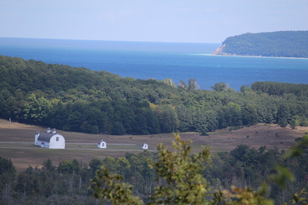
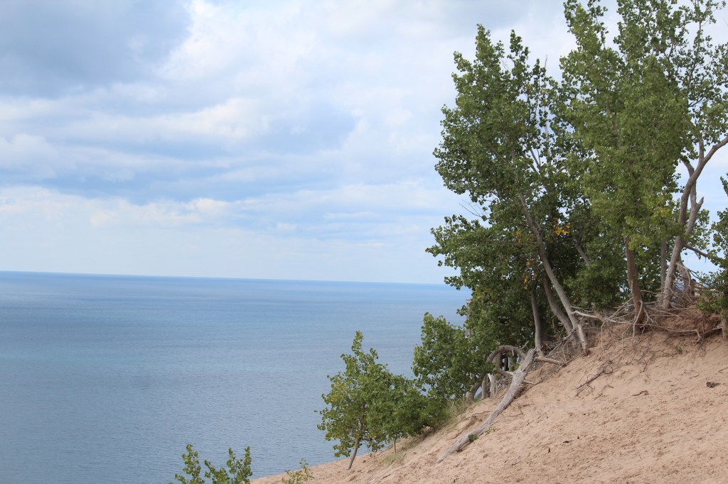
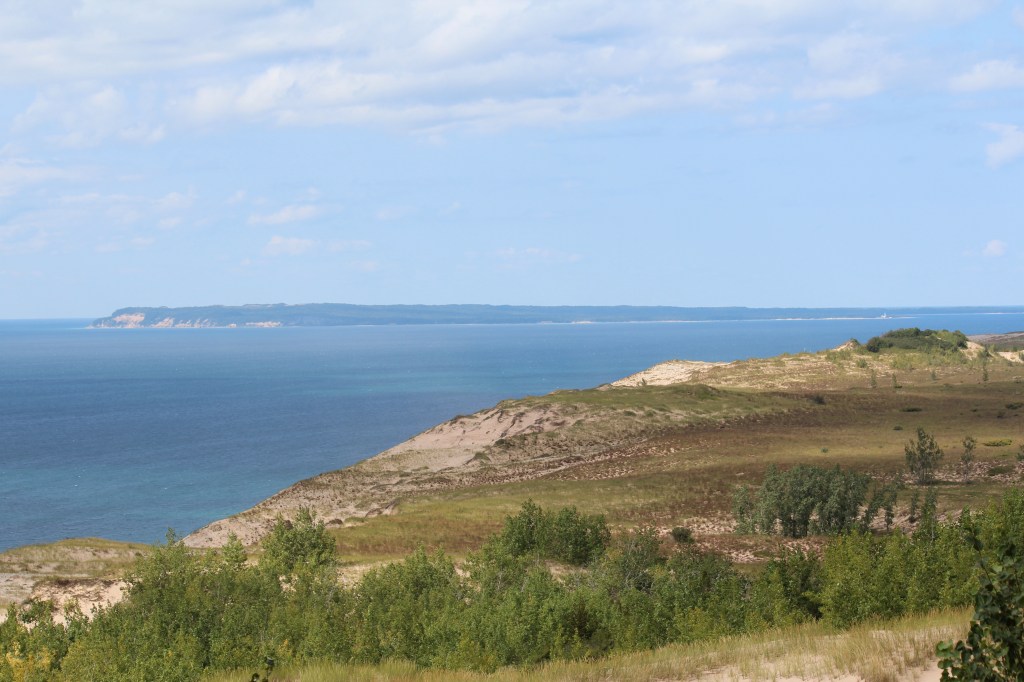
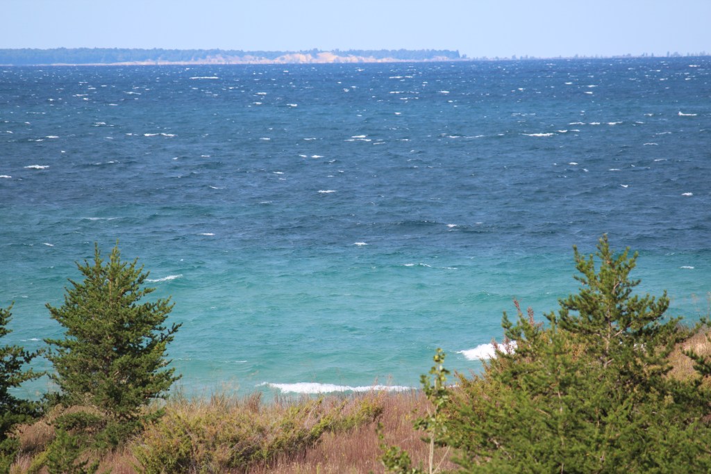
The next stop was the first of many overlooks along the route, and man, was there ever stuff to look over…

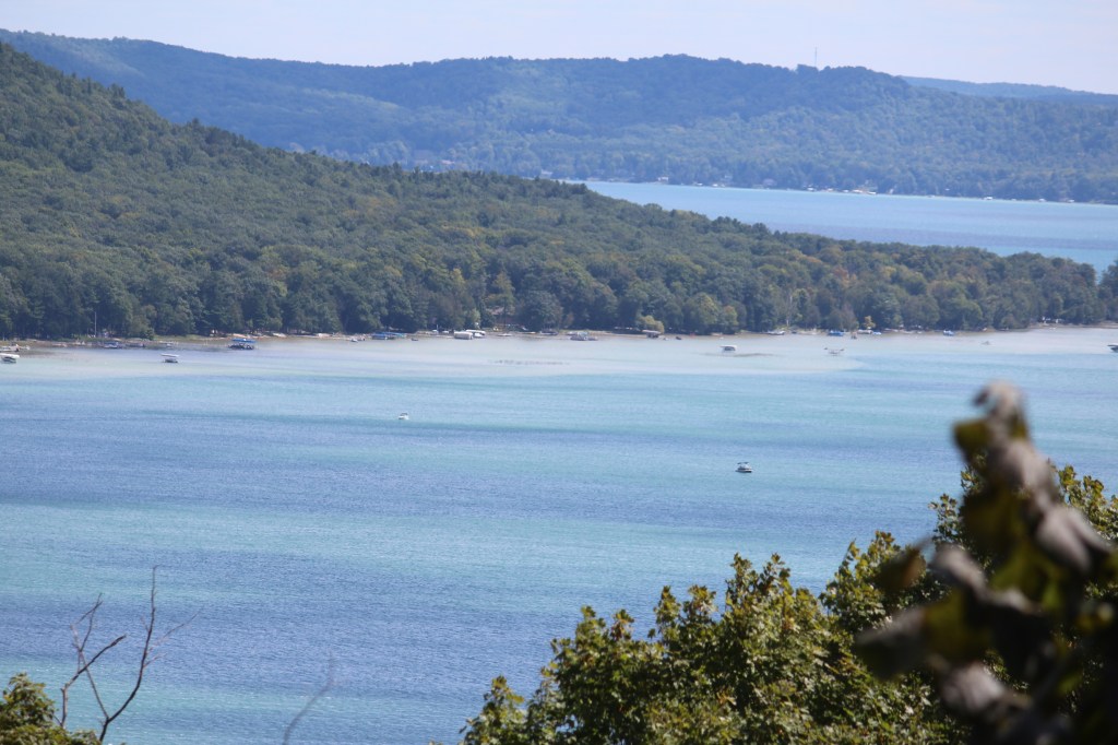
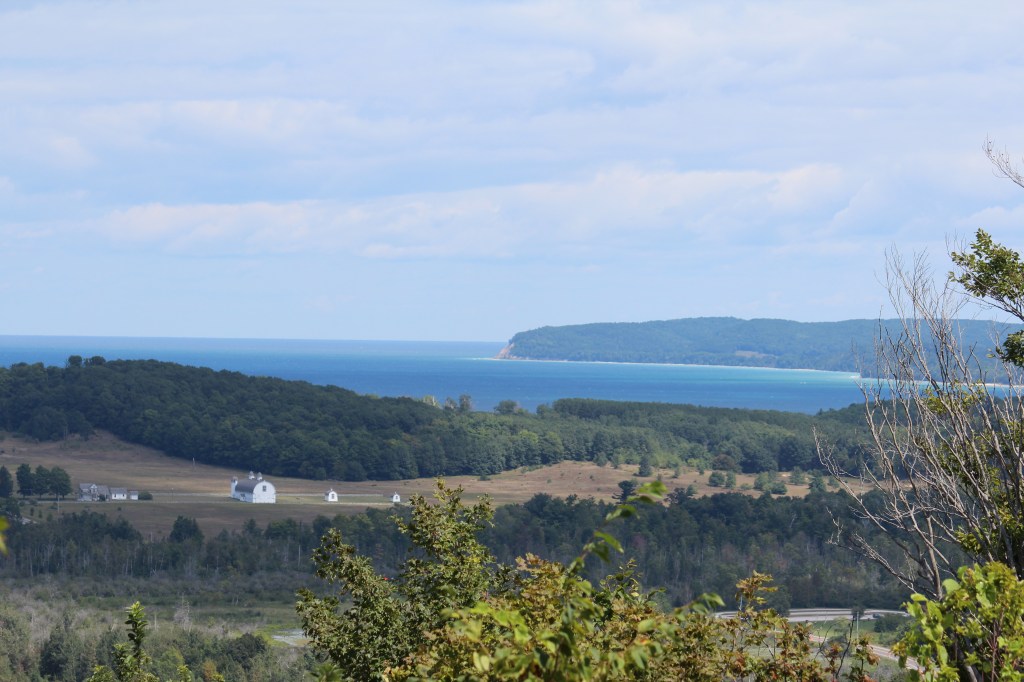
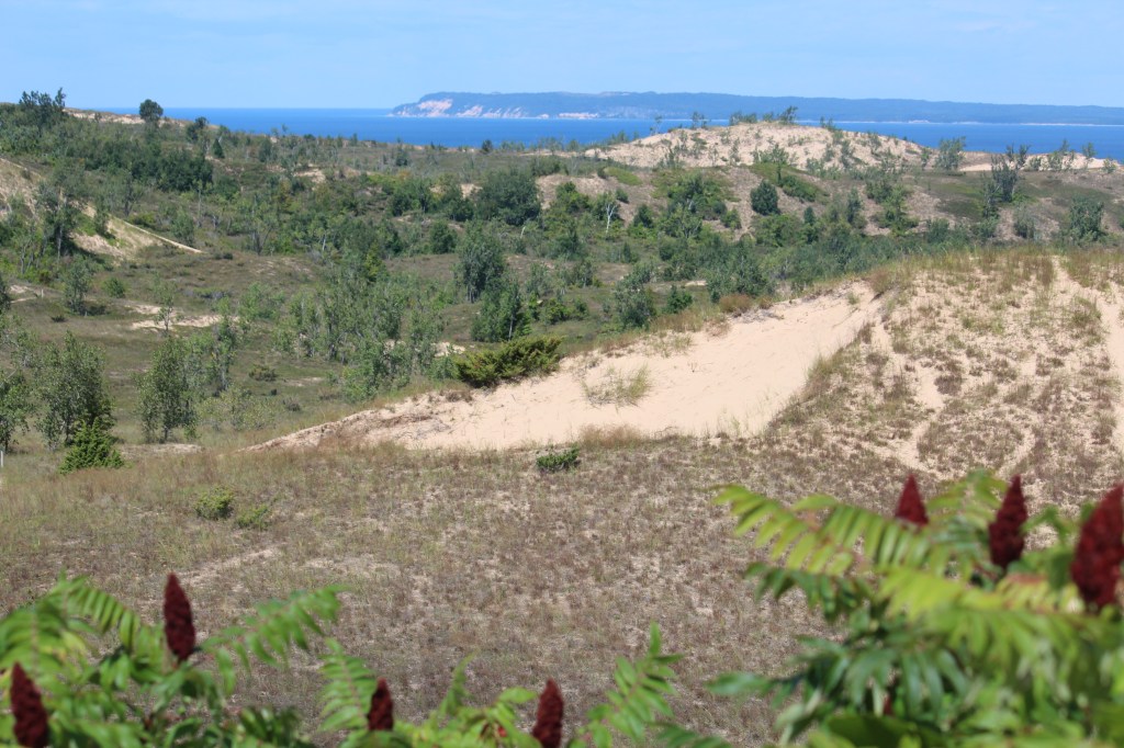
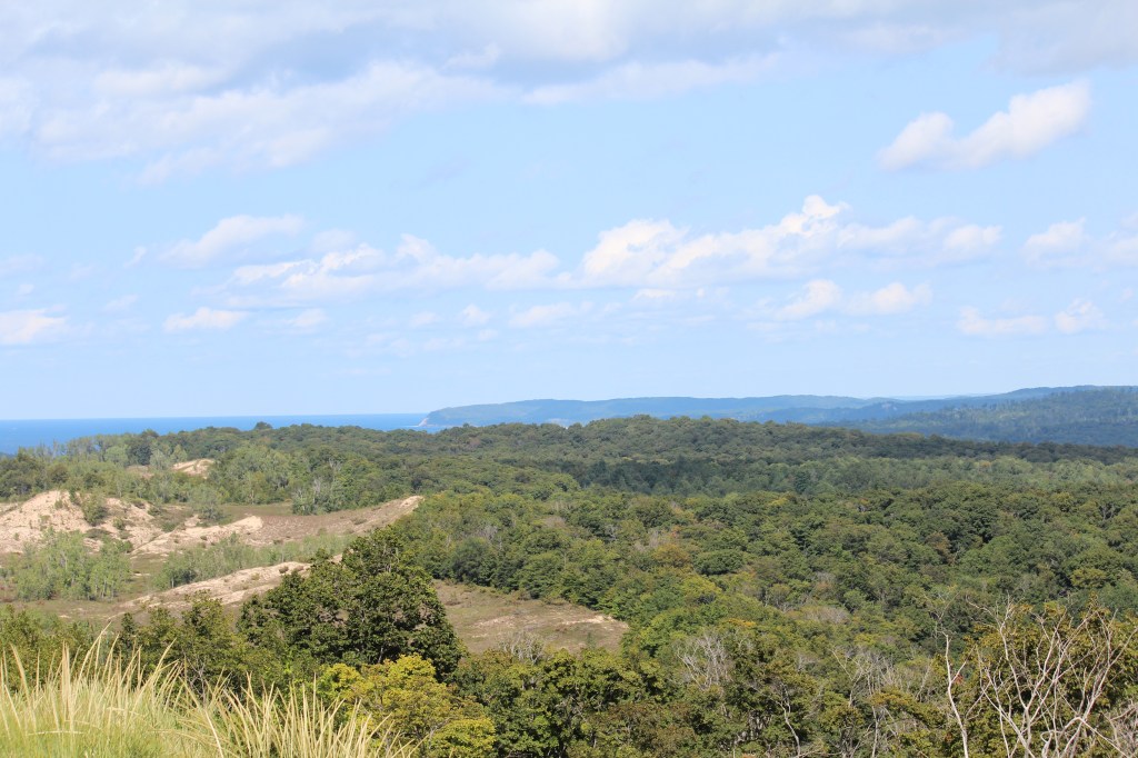
Next was a very popular overlook with a lack of parking. At this point, I decided to go back to my motel for some lunch, then try parking here again. After eating some microwave buffalo mac-n-cheese and chili cheese Fritos, I headed back up the scenic drive, and was happy to see stop 3 was nowhere near as crowded as it had been earlier. I stopped and got these pics:

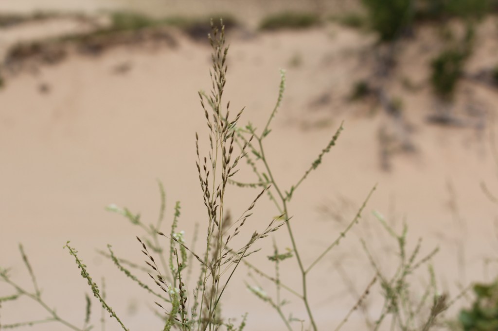
Time to face a challenge! The next stop was the Cottonwood Trail. This trail leads out of the forest and out across the sandy upper reaches of the dunes. There are many trails you can take (read: you could get lost out here), but the main trail is a 1.5-mile loop. I decided to take on the challenge! Here’s some of what I saw as I trudged through the sand:

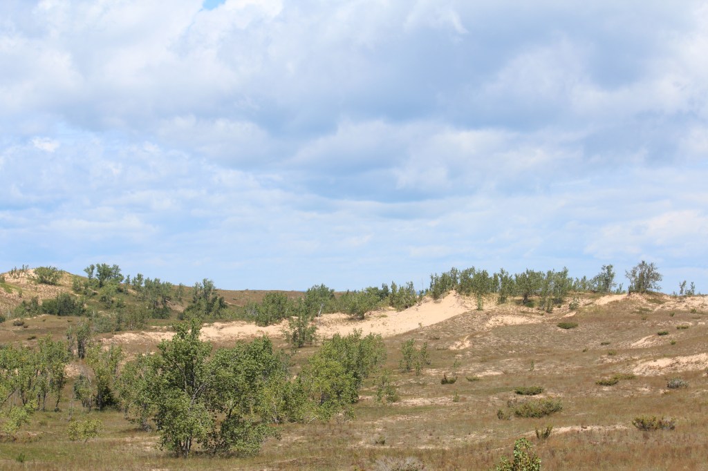

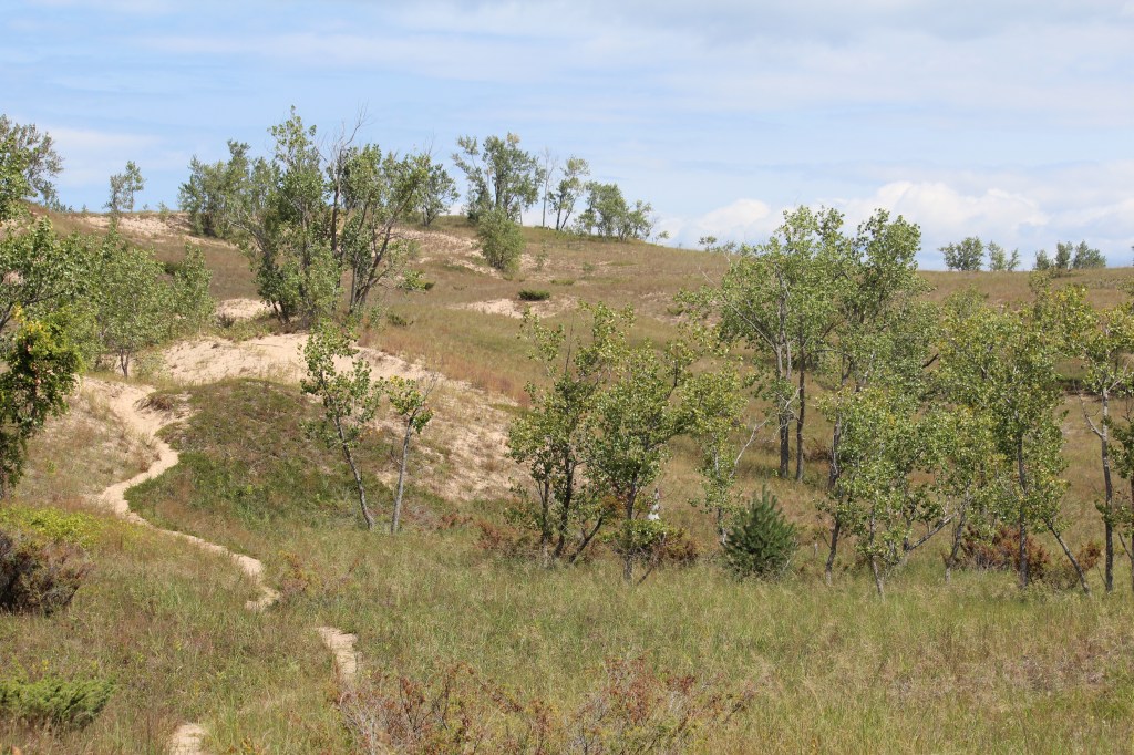
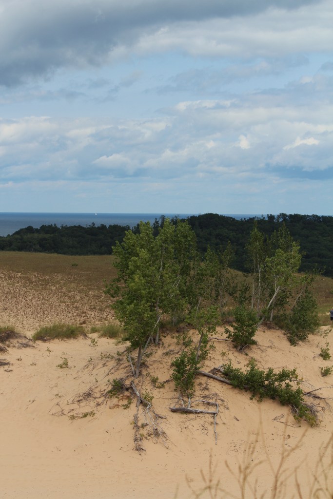

At this point, I had completed the 1.5-mile loop, almost all of which was on sand, some of which was quite steep. Not bad at all for a guy who was barely able to drive a car just two days before. But the real challenge was yet to come.
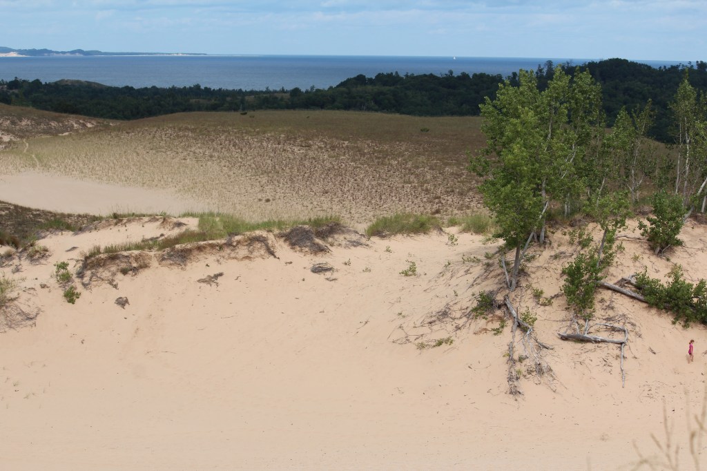
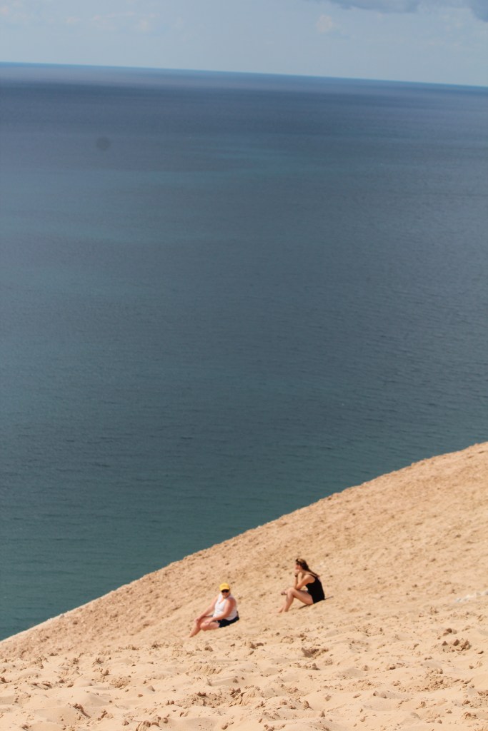
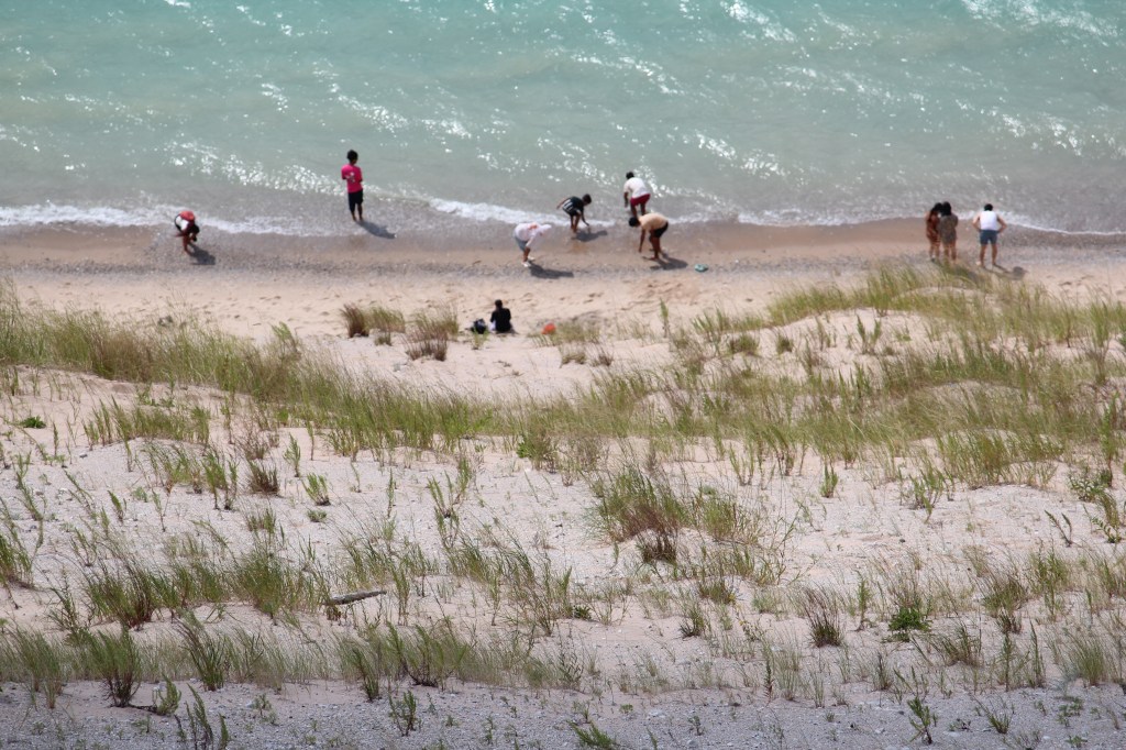
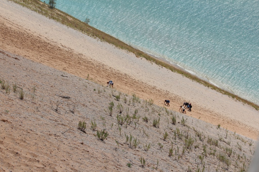
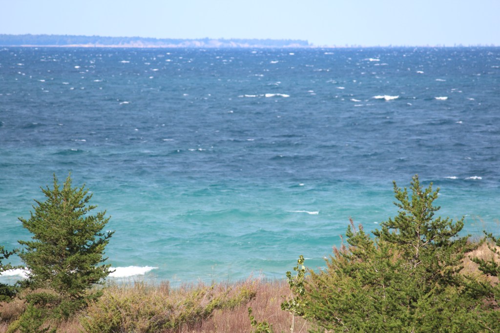
The next stop was what I call The World’s Steepest Beach. It’s the opposite of the Dune Climb mentioned above. Instead of parking at the bottom, you park at the top of the dunes. From there, you can choose to walk down 450 vertical feet to the beach. And the only way off the beach is to climb back up…450 vertical feet of soft, loose, sliding sand. There are signs posted warning people not to go down if they aren’t absolutely sure they can make it back up. While I was there, several uniformed rescue personnel were on hand, like lifeguards. Now I did NOT attempt this, but I watched several people struggling back up the dune. NOTE: None of the people in the following photos has any connection to me whatsoever. I only include humans in these photos to give a sense of scale and steepness…
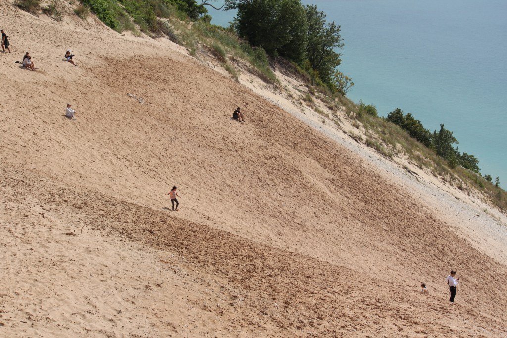
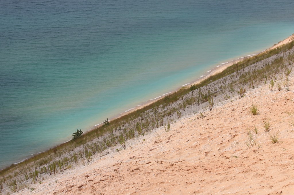
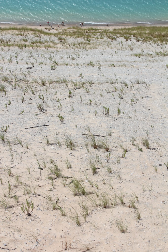
While I did not attempt the descent/climb, I did walk around the top of the dune quite a bit, and the sand on top is also very soft, loose, and deep. Just walking through it on level ground was hard work – my leg and butt muscles were really burning after a while. And it wasn’t long before I realized I was walking better than I had been lately. Y’see, over the last couple of weeks, my feet have been shuffling a lot…but it’s physically impossible to shuffle your feet in this stuff! You therefore have to walk purposefully, concentrating on your gait and your posture. So, all you Parkinson’s patients, find yourself a local spot where there is soft, deep, dry, loose (dare I say, fluffy?) sand and get to work! I really think this should be the next Parkinson’s fitness craze. Anyway, here are some more pics from the top of the dunes, looking in other directions:

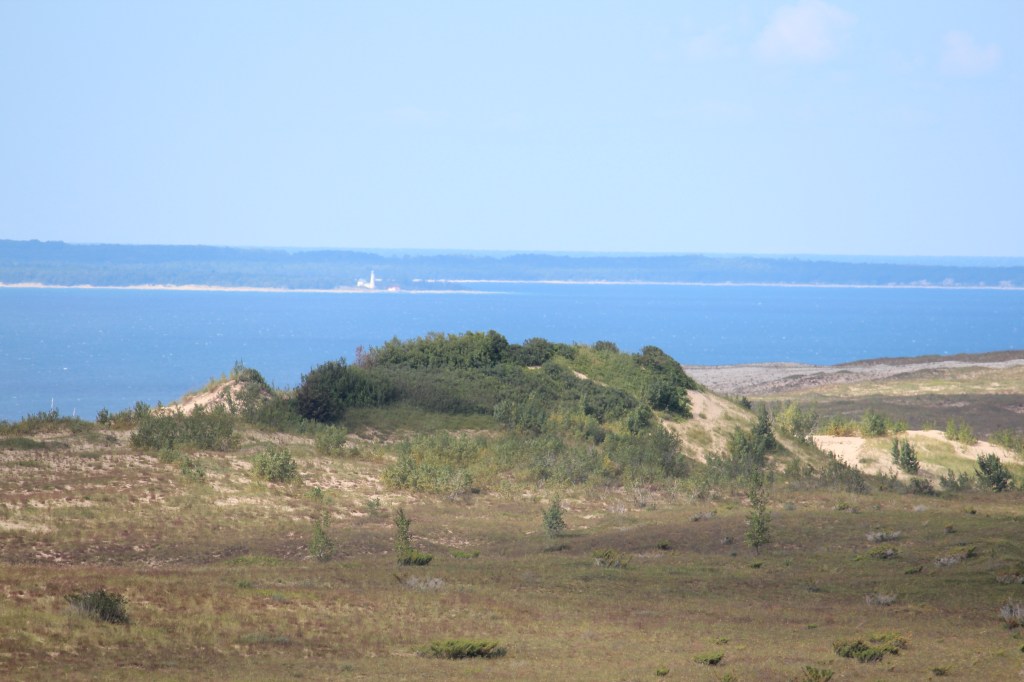

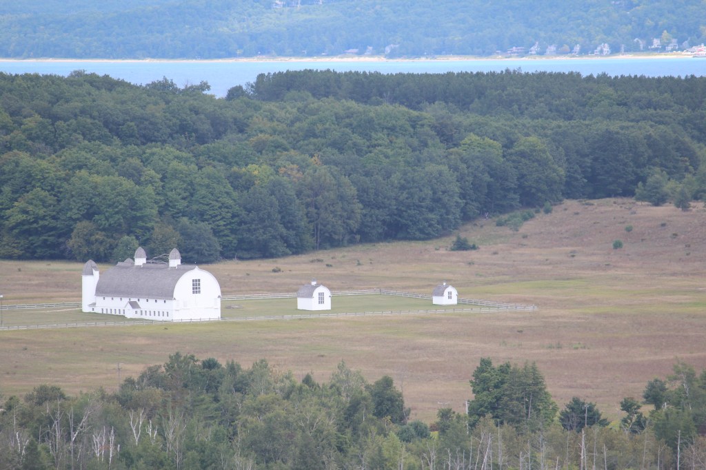
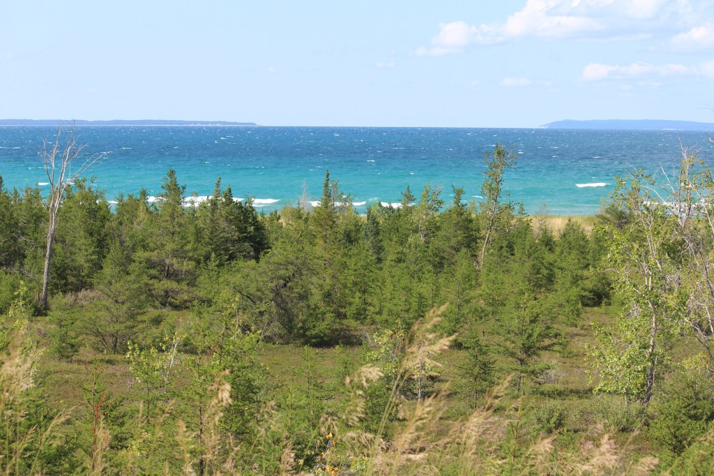
Having completed the scenic drive loop, I went to Sleeping Bear Point, at the northwest corner of the national seashore. It didn’t take long, however, to realize that it was going to require a significant walk through more soft, fluffy sand in order to get anywhere worthwhile from Sleeping Bear Point. And my buttemous muscles weren’t up for another round of that. So, I snapped just a few pictures, and I left…
Day 8:
A day of rest. Coming soon, waterfalls and a completely different national lakeshore
