
Day 11:
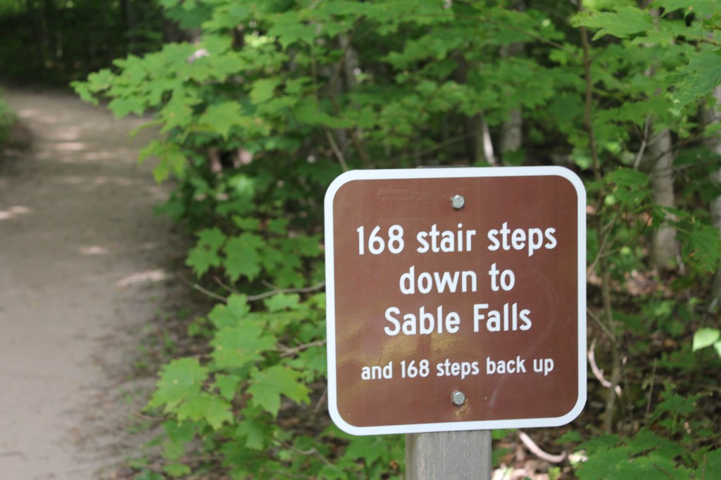
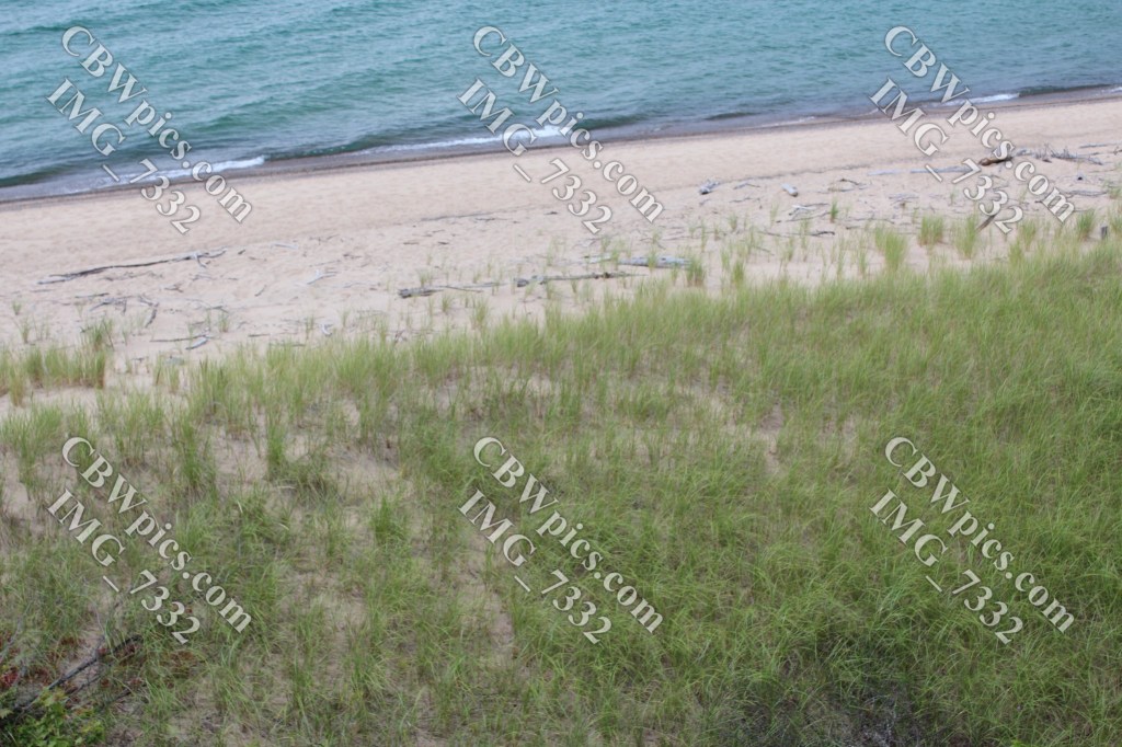
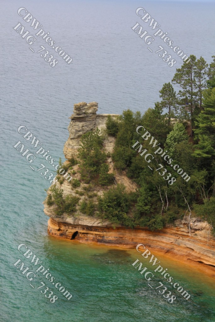
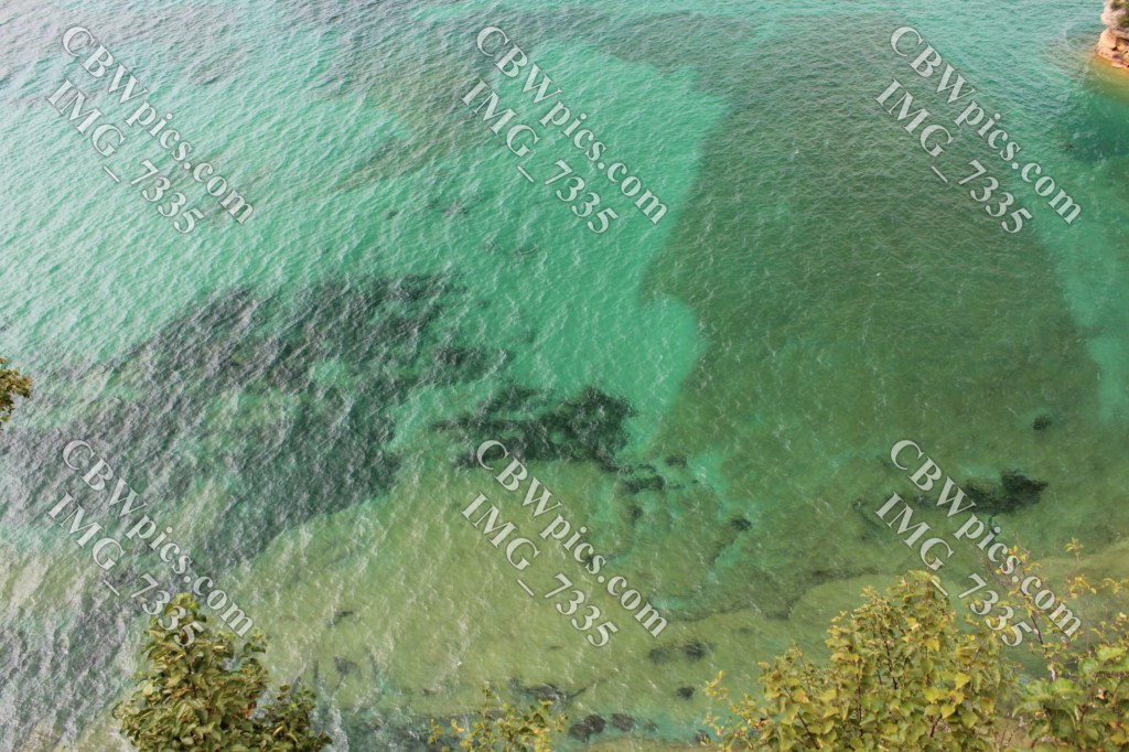
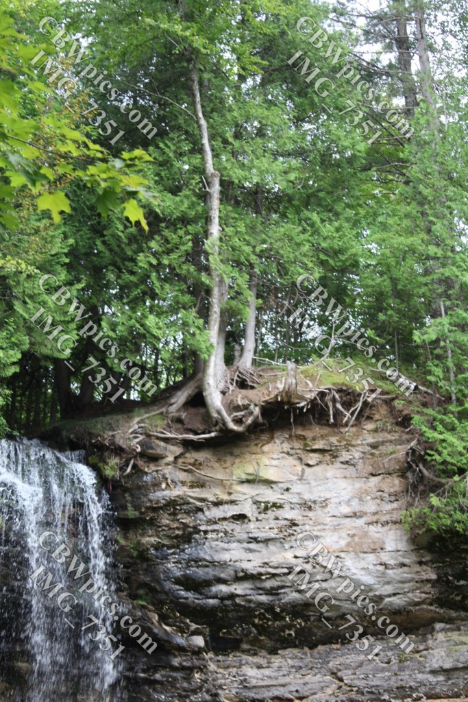
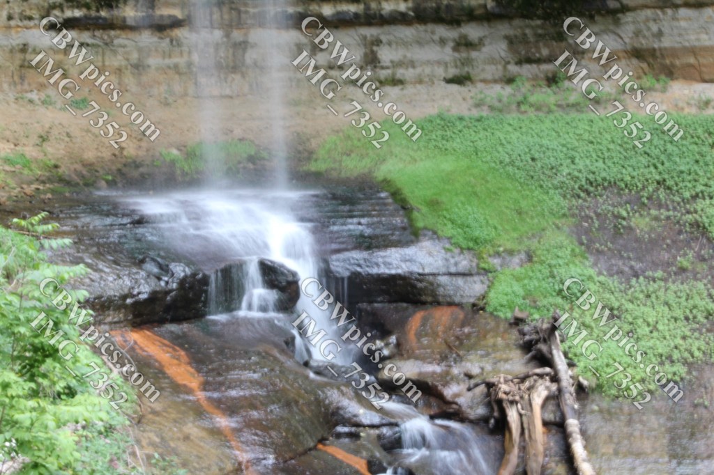
Last time we met, I told you that the only way you can see the Pictured Rocks themselves is from the waters of Lake Superior. Yet the boundaries of the Pictured Rocks National Lakeshore stretch over five miles inland in some spots. Why? Why? For the love of spit, WHY? Because there are other things in the area that are worth preserving, seeing, and/or doing: waterfalls, beaches, ponds, and an official Wilderness Area. I set out on Day 11 to see as much as I could of this ‘bonus material’. Sadly, it rained off and on for most of the day, so I didn’t end up exploring nearly as much as I had wanted. I began by driving from the west boundary to the east boundary, a drive of some 45 miles! My first stop was the Sable Falls trail. Allow me to illustrate:
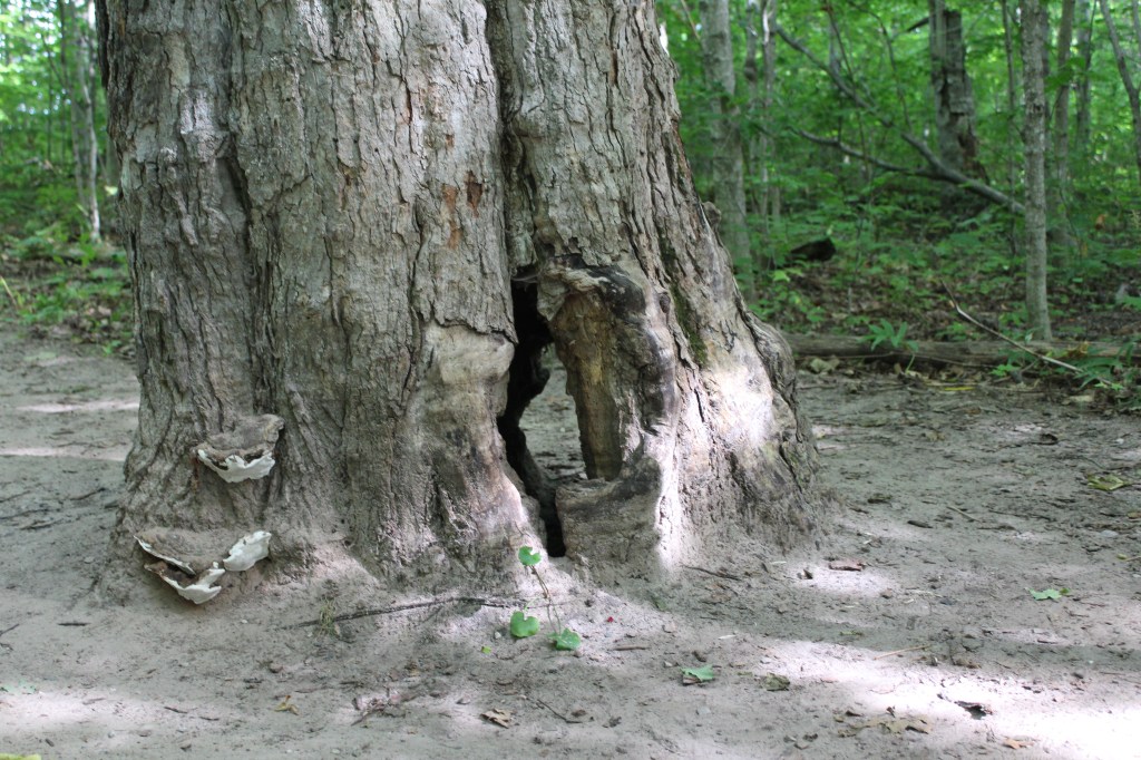

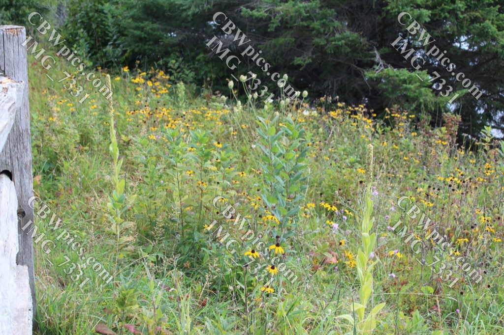
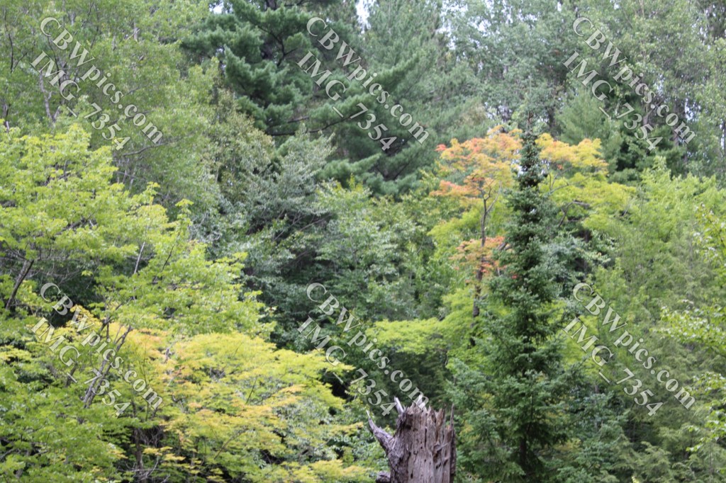
The next few pics were taken at various points between the eastern visitor center and the western one:
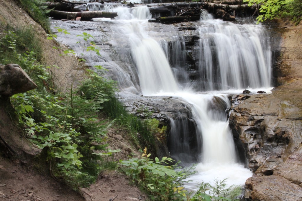
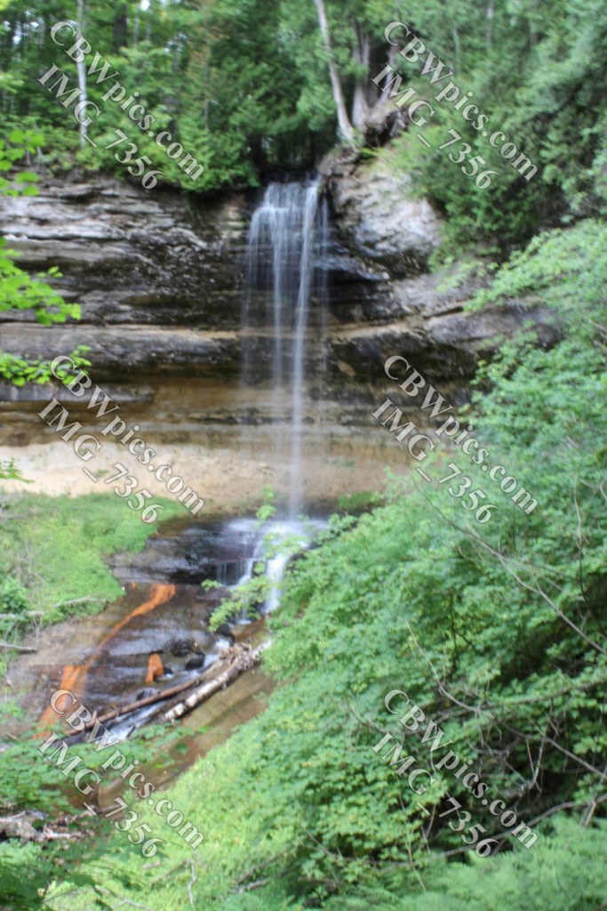
I rounded out the day at Munising Falls on Munising Creek, which is behind the Munising Falls Visitor Center, just outside the town of Munising. (Note that “Munising” is spelled the same way every time, unlike the debacle in Nebraska with Kearney vs Kearny and Scottsbluff vs Scotts Bluff.) The trail to Munising Falls is quite short and is paved. I believe the lower viewing platform could be reached by most of my Parkinson’s-afflicted readers. However, there are also two overlooks that have stairs. One of them was pretty scary for me, because the handrails lean outward; balancing against them while making forward progress seemed like a difficult undertaking, so I just stayed as close as I could to the rock wall on the other side of the trail and avoided using the handrails at all. I didn’t take any pictures of the handrails, though. Just these pics of the falls:


Day 12:
At this point in the trip, the idea was to spend as close as possible to two full days on Mackinac Island. But I slept a bit later than I had intended, and made more stops than I had intended on what should have been a two-hour drive from Munising to St. Ignace, Michigan. In short, I didn’t make it to Mackinac Island until around 2:20 P.M. But it turns out, this left me just the right amount of time to wear myself out by walking all ’round the east end of the island. But before we get to what I saw and/or did, here’s some background info on the island.
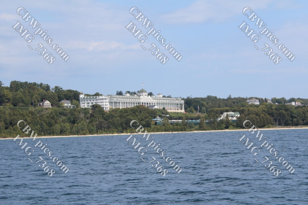
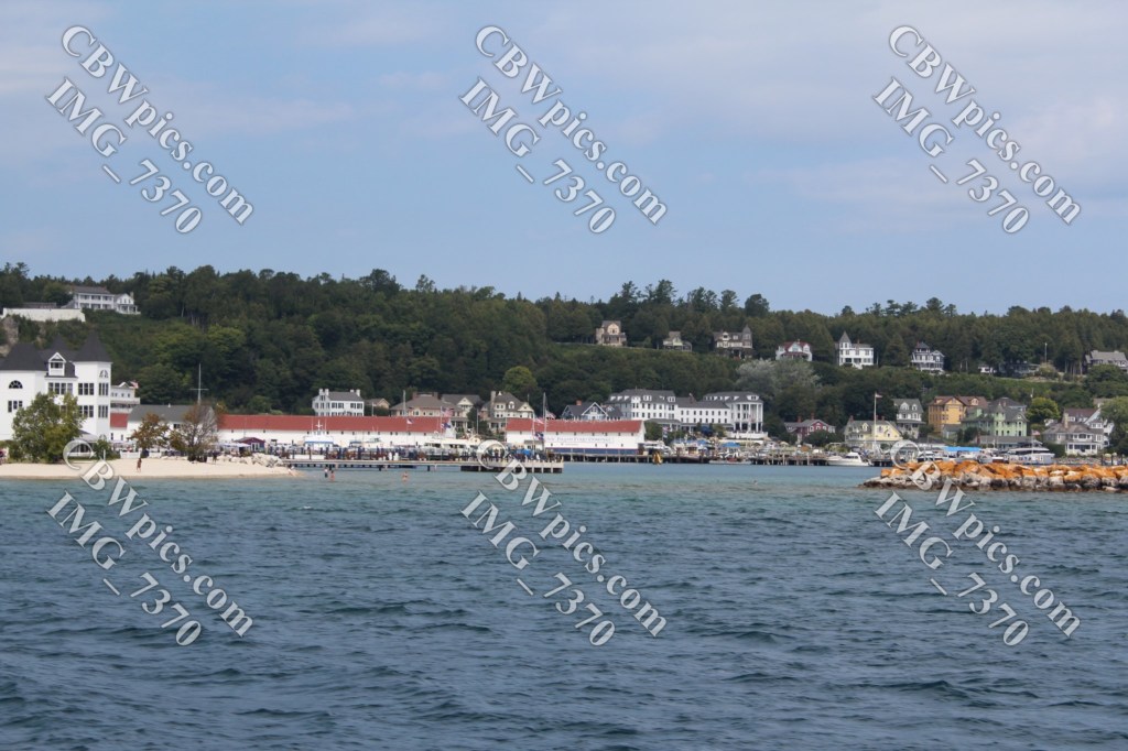
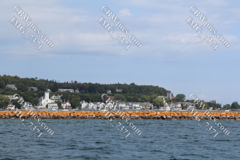
First, it’s pronounced “MACK-in-awe”. The final ‘c’ is of no consequence. This island became known as a playground of Michigan’s rich and famous way back in the Victorian Era. Not surprisingly, it is now known largely for the Victorian Era architecture that is still to be found all over the island. But the biggest vestige of the Victorian Era is that no automobiles (not even golf carts) are allowed on the island. Bicycles are fine, but if you want to get around without using your leg muscles, you need to take a horse-drawn taxi or go for a horse-drawn carriage tour. While many folks are intrigued by the horse-based passenger vehicles, I found it fascinating that cargo also gets moved using the old ways. I saw palettes of goods being delivered to hotels on horse-drawn wagons, and wondered if they had horse-drawn forklifts hidden somewhere. I even saw a horse-drawn street sweeper in action. I didn’t photograph any of the horses or vehicles at the time; I figured I would do that the next day. On this day, I just wanted to buy fudge (another thing the island is famous for) and walk around seein’ stuff. Please enjoy my horse-free photos:

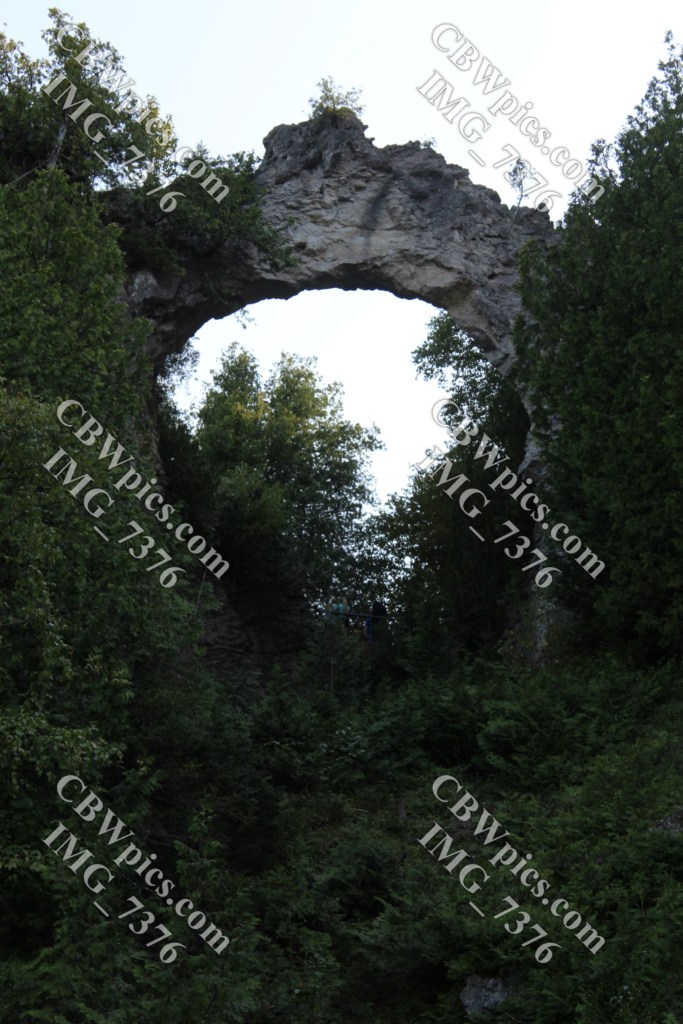
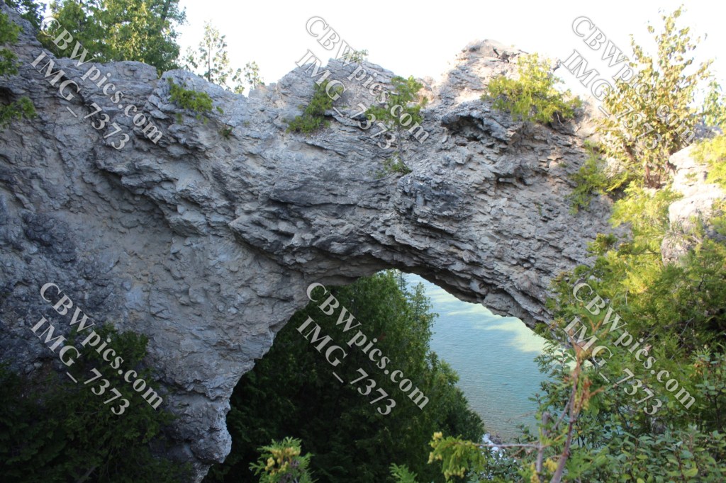
After the long walk from Arch Rock back to the ferry dock, I stood in line for the next ferry for some time. Once I was back on the mainland (upper peninsula), I checked into my most unusual hotel room:


That’s all for day 12. On day 13, we’ll come back to Mackinac Island, right? RIGHT? Well…maybe…
