
I have a memory that I’m pretty sure goes back to the summer of 1996. This was the summer that I worked as an intern at a wildlife refuge in North Park. I took full advantage of my weekends that summer, exploring North Park and surrounding areas, since I had never been to these areas before. One of the memories from this exploration is of a trail that I barely got started on, and I’ve always wanted to get back there to see more. The trail began with an area of loose rock that was loaded with pikas (Ochotona princeps). After a few hundred feet, the trail curved around a mountain, revealing a spectacular view of a beautiful, wide valley. At this point, lightning began, which made the view even more amazing, but also threatened to frizzle fry my behind. So, with tears in my eyes and mange in my beard, I got back in my car and headed back down. Back down what? Why, back down Long Draw Road. I have always remembered this as being somewhere along Long Draw Road, but I haven’t been able to determine exactly where, and we’re talking about a long road that does some branching.
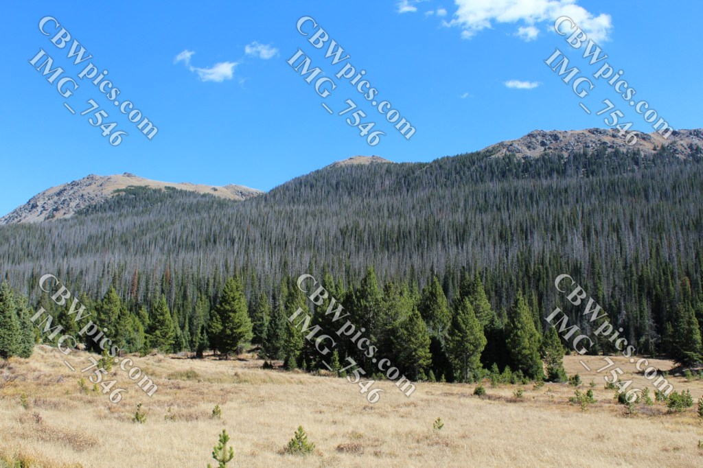
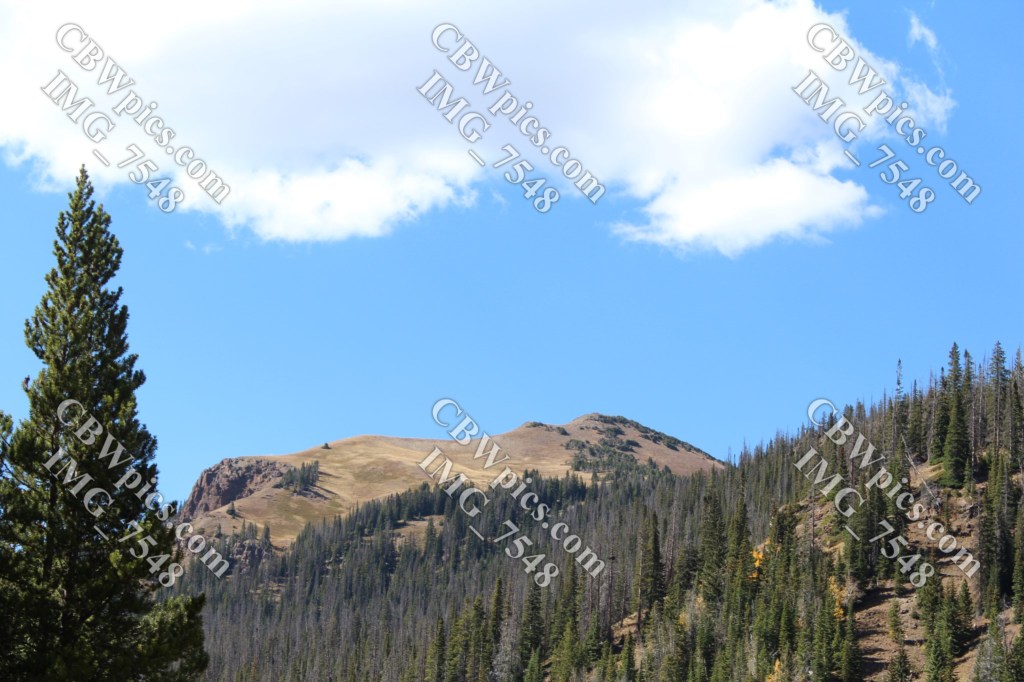
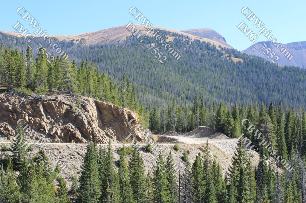
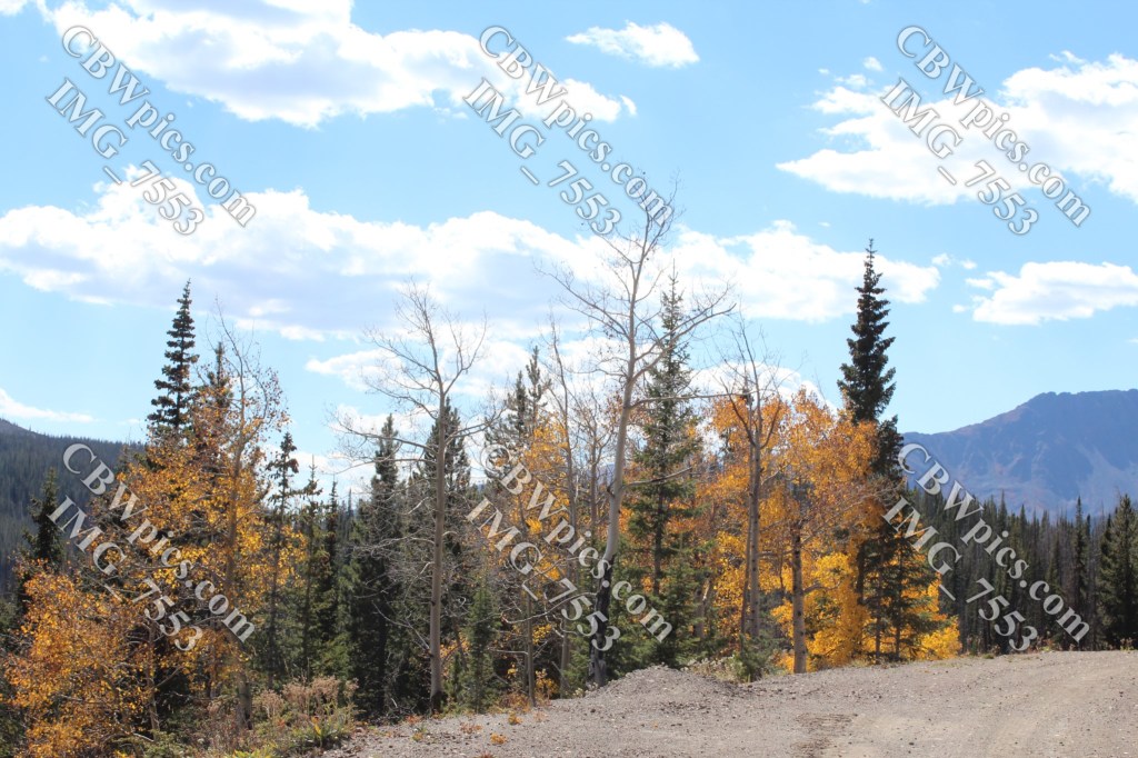
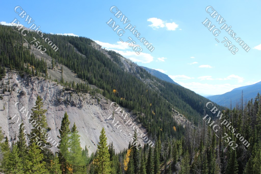
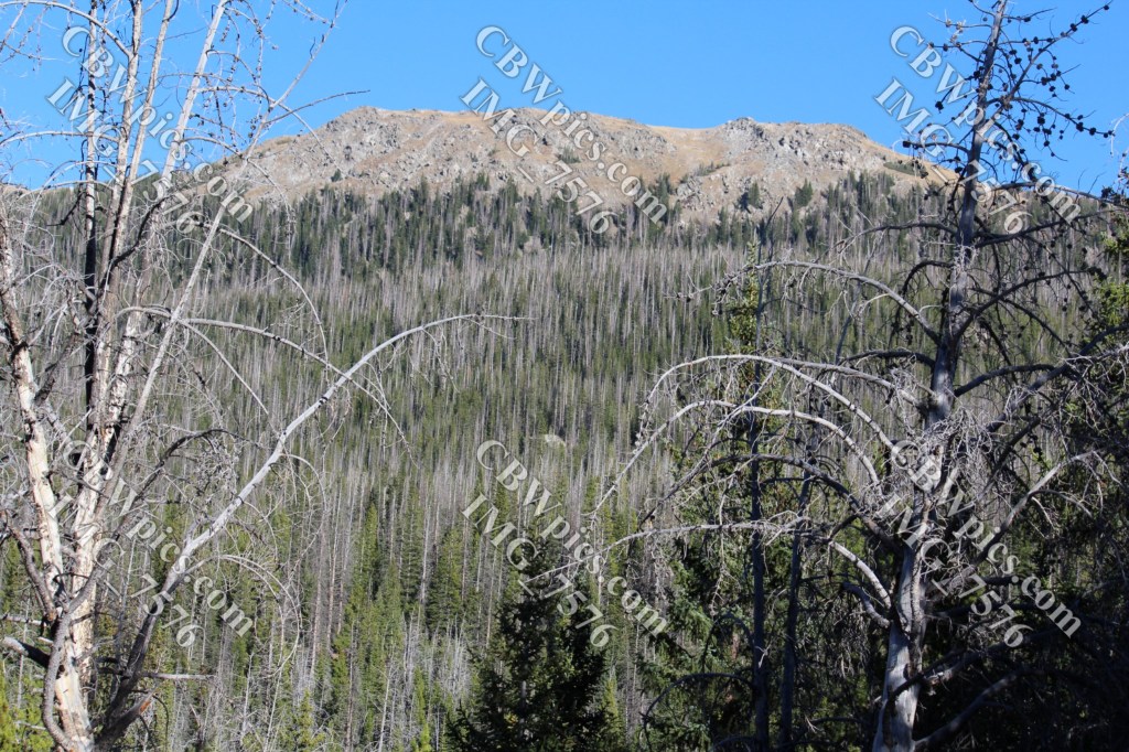
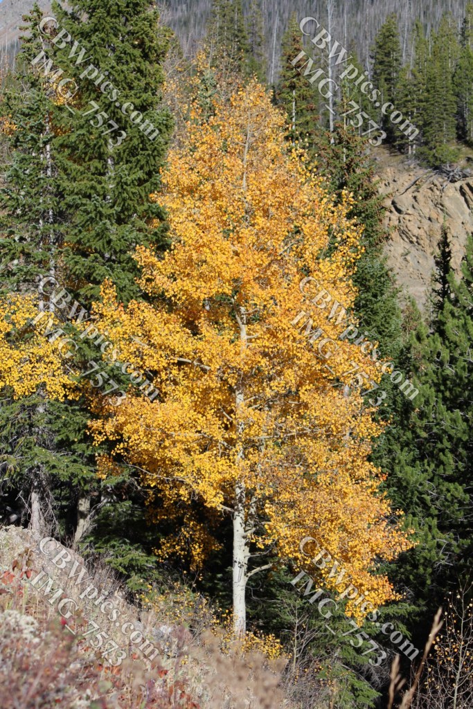
This morning, I headed out with one of my old hiking buddies, in search of this beautiful place that lives on in my mind. We parked at the end of one of the aforementioned branches of Long Draw Road. Looking at the map posted on the kiosk, we learned that we were on the border of Rocky Mountain National Park. You can’t drive into the park from here, but you can hike in. I didn’t think this was the place I was looking for, but we started hiking here anyway. The trail soon joined a canal. More accurately, the trail becomes the maintenance road and outer wall of the canal. I do b’leev I took some pics along the way. Yup! Here they are:
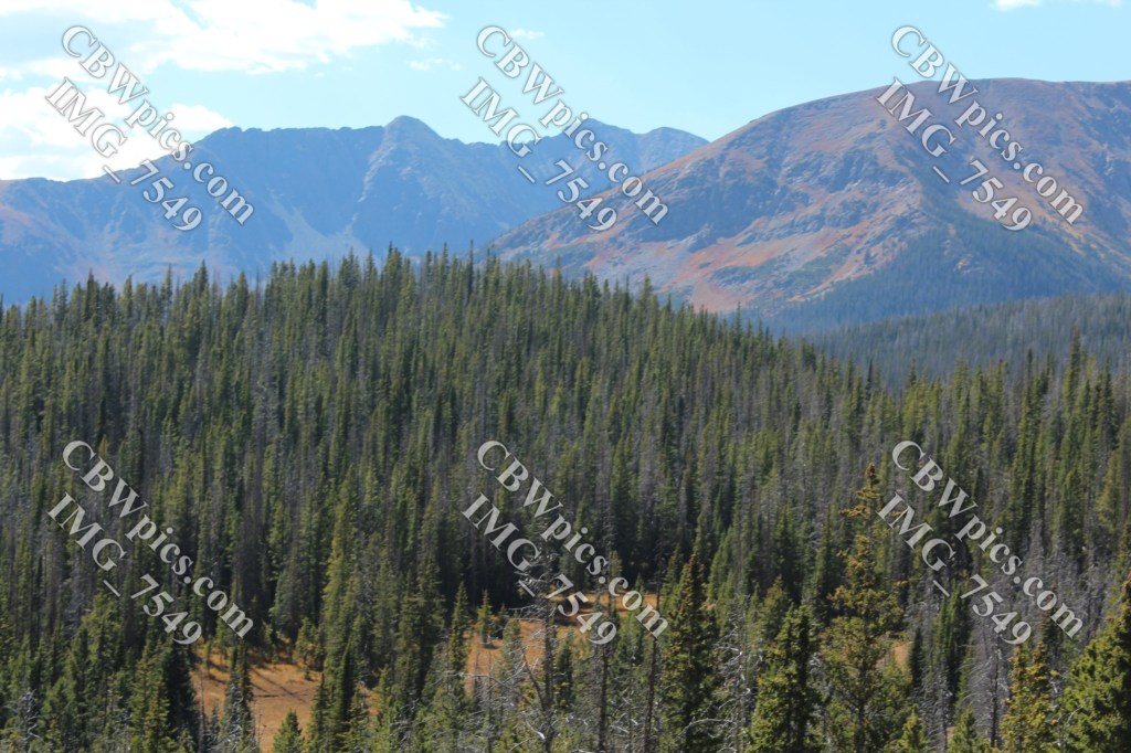
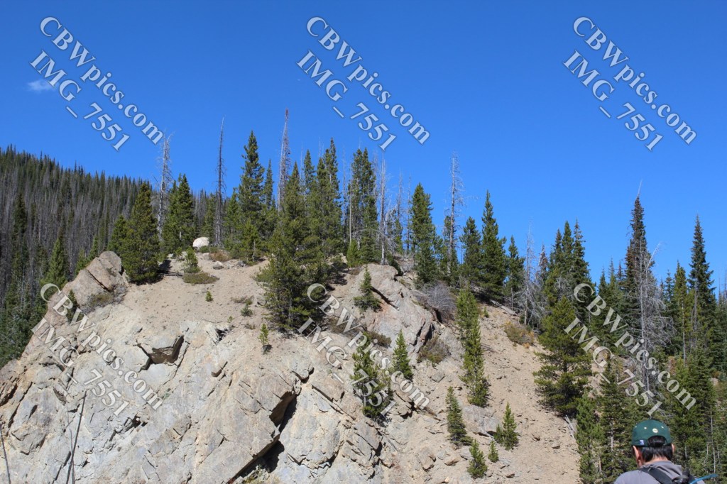
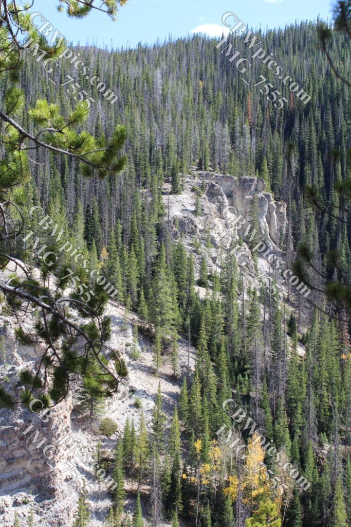
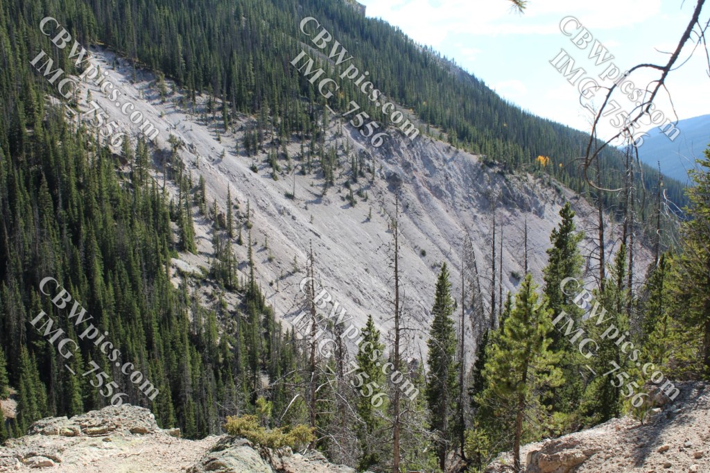
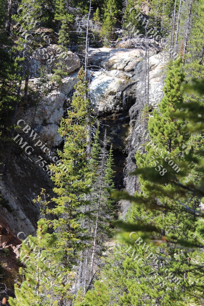
After about a mile, we reached another kiosk and a side trail that falls away from the canal. It was at this point that I finally realized where we were. We were on the Grand Ditch Trail, which follows the canal for 15 or so miles at an altitude of approximately 10,200 feet. I had read about this trail many years ago and very much wanted to try it. But I had long ago concluded that I would never end up hiking it. The kiosk informed us that the side trail goes to Little Yellowstone, which is another area of the park that I had long ago concluded I would never end up hiking. Yet here we were!
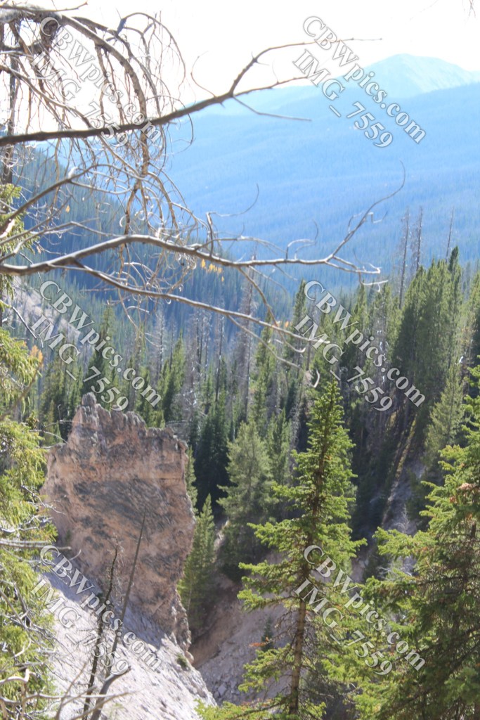
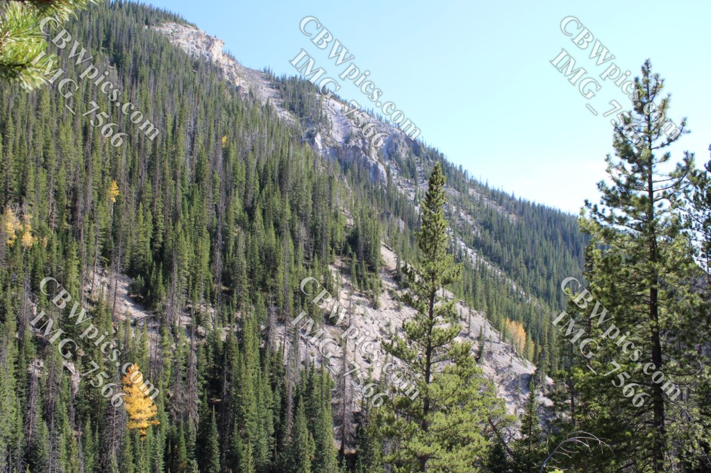
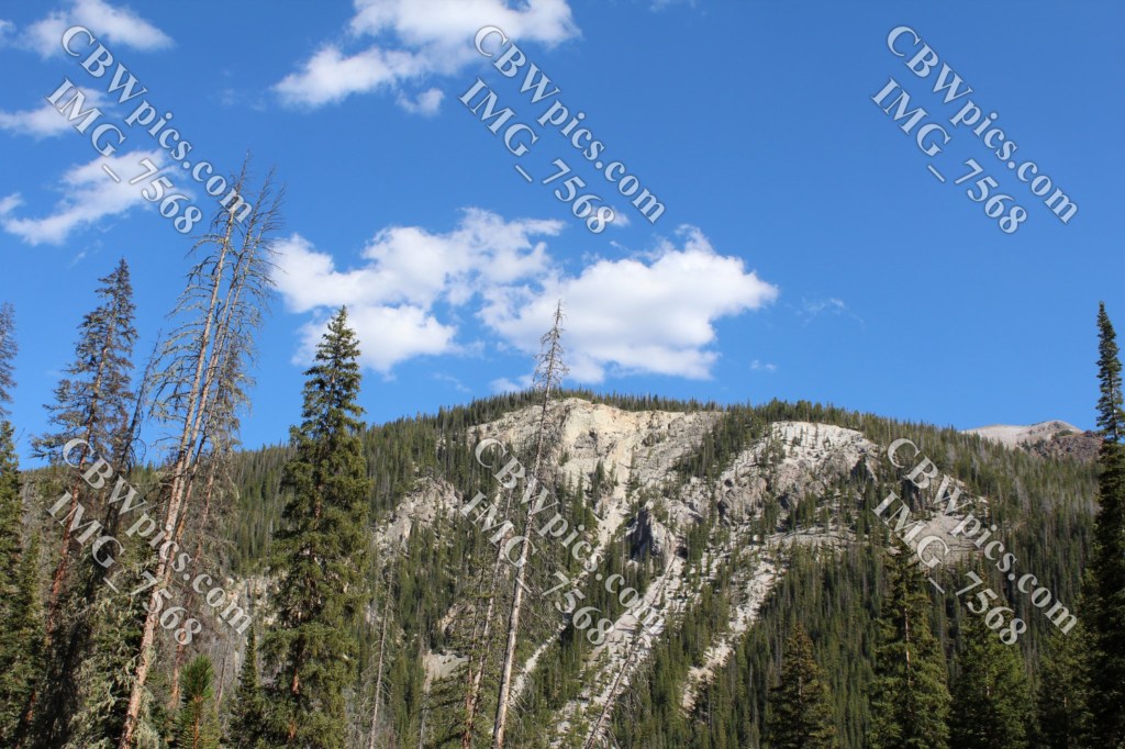
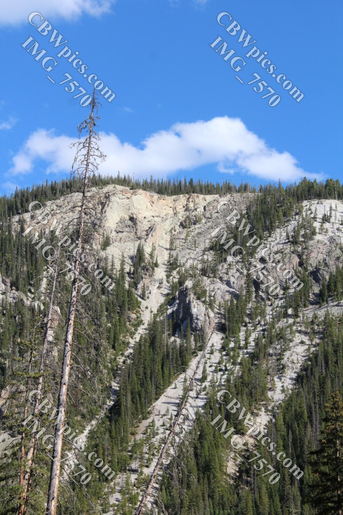
We headed down the trail for Little Yellowstone, which was named by people who thought this canyon and waterfall resembled Yellowstone Canyon in Yellowstone National Park. Judge for yourself! Compare the pictures below with my pictures from the real Yellowstone Canyon.
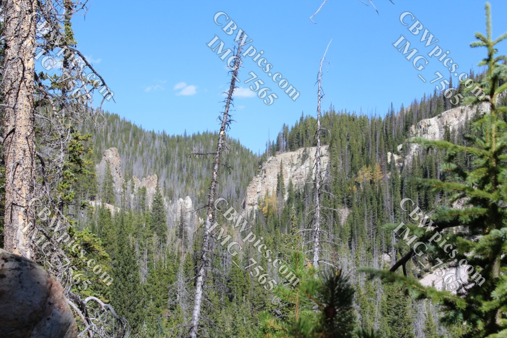
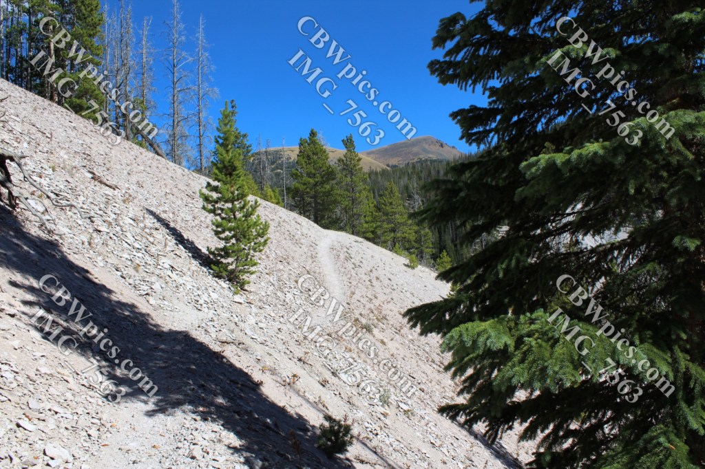
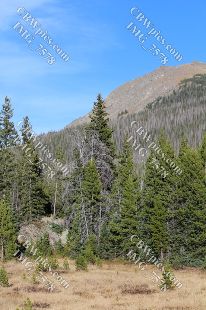
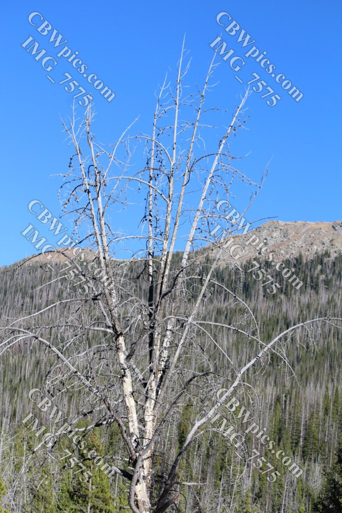
We went a little farther down the trail before we decided it was time to head back. The sun was starting to get a bit low, and we had a long, uphill hike back to Grand Ditch. Once we were back alongside the ditch, I took a few more pictures:
After reaching the parking lot, we headed back down the Poudre Canyon, stopping for an elaborate picnic dinner as darkness and a cold front settled in. My hands were about frozen by the time we finished eating. Nevertheless, it was a good day, and I did surprisingly well on the hike. We estimated that it was a five-mile round-trip, and the kiosk said the elevation along the canal was about 10,200 feet.
That’s all for this year’s visit to Colorado. I’m not sure when / where my next trip will be (I’m leaning towards Georgia in December), but between now and then there will be plenty of ThrowBack Thursdays, plus I’m going to try nicotine therapy again. You don’t want to miss that! TTFN!
