
Roll up! Roll up for the Switzerland Trail! Today’s ThrowBack Thursday takes us to April 11, 2010. On this day, I explored Mont Alto Picnic Area, which sits alongside Colorado’s Switzerland Trail. Like last week’s destination (Gold Camp Road), the Switzerland Trail was built on an abandoned railroad grade. In this case, it was the Colorado & Northwestern Railway (C&N), which ran from Boulder to Ward, Colorado.
The C&N existed in various forms from the 1880’s until 1920. Like many other mountain railroad companies in the days before automobiles, the C&N developed resorts alongside their rail routes, to increase passenger traffic from the cities along the Front Range. Mont Alto was one such resort. Let’s check it out, shall we?
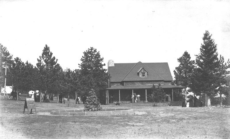
The Mont Alto resort featured a pavilion and fountain (both seen in this historic photo) and probably much more. It was popular for all-day picnics, evening dances, and moonlight excursions. (Historic photo yoinked from Boulder Historical Society/Museum of Boulder)
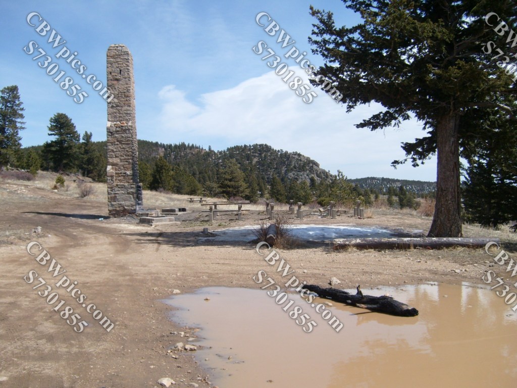
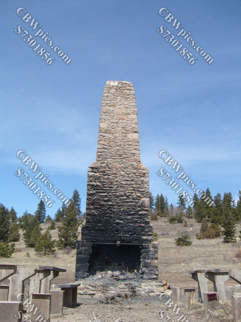
This section of the Switzerland Trail is now owned by the United States Forest Service, who have designated Mont Alto as a public picnic area. Here’s what’s left of the fountain and pavilion…

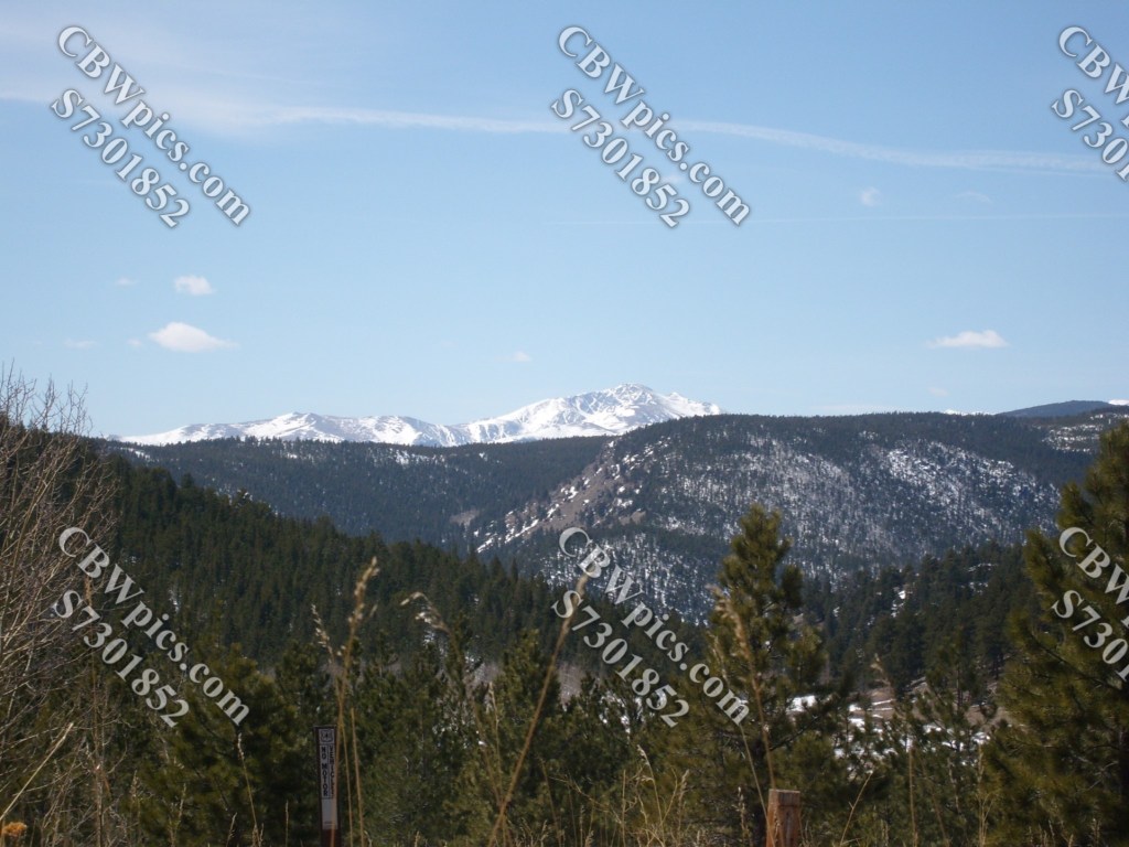
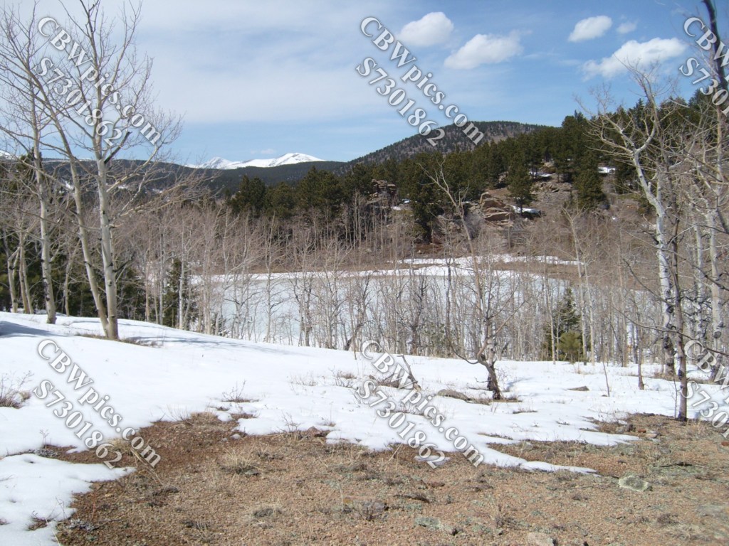
…and a few more shots from Mont Alto:
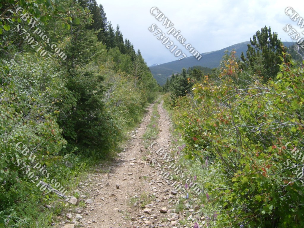
That was April 2010. Three months later I returned to explore more of the Switzerland Trail. Unlike last week’s Gold Camp Road, the Switzerland Trail can no longer be hiked or biked in one continuous voyage, as significant portions of the old railroad grade are now private property. Large parts of it can be hiked, biked, or even driven, but it must be done piecemeal. On July 11, 2010, I made a meal of the piece that runs from the former site of Gold Hill Station to Sawmill Road. A couple of notes on this stretch:
- This stretch must be accessed from the Gold Hill end, and not from the Sawmill Road end. Sawmill Road has been massively built up in relatively recent times. It now towers over a dead end of the Switzerland Trail rather than intersecting with it. I could not find a safe way up (or down) the embankment.
- Much of this stretch is still covered with a deep layer of what appears to be the railroad’s original ballast rock. This surface makes for a difficult slog on a bike. As for hiking it…well, let’s just say you don’t wanna walk on these rocks if you’re afraid of spiders.
So, I started at the Gold Hill end. For reasons I don’t remember, I biked straight through without stopping for pictures. It wasn’t until I reached the dead end and had to turn around, that the camera came out. As a result, this day’s photos are effectively in reverse order…
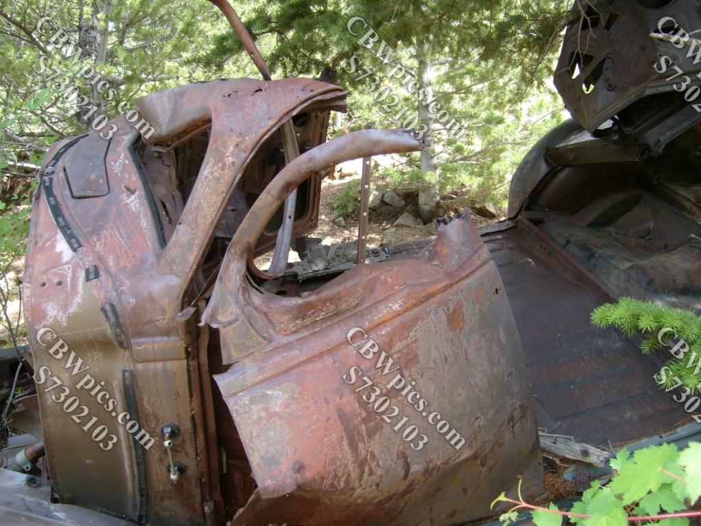
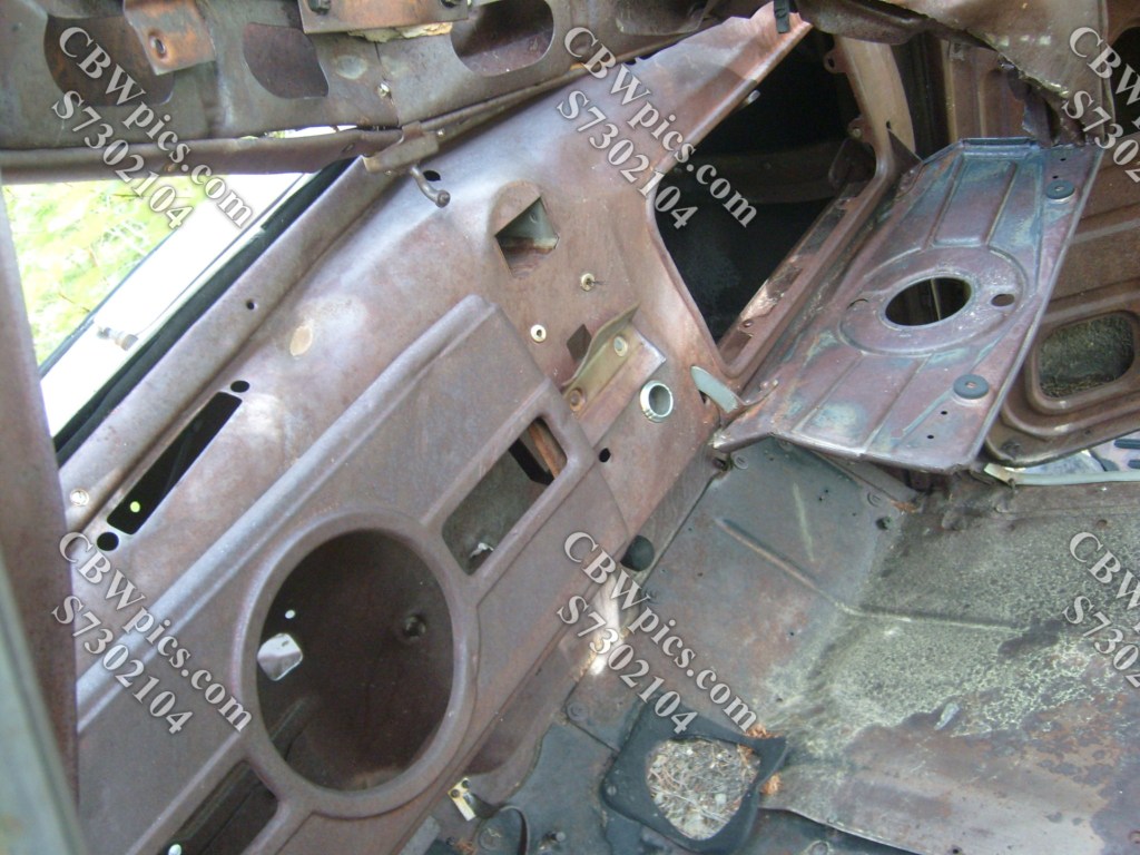
At this point, I encountered The Mystery Car. This poor old thing appears to have tumbled a LONG way down the mountainside…but from where? At this point, I had circumnavigated this mountain and was unaware of any road located uphill from here. As I write this, 14.5 years later, I have just discovered mapcarta.com. This site reveals a road called Sawmill Gulch Loop, which passes about 330 vertical feet uphill from The Mystery Car. So, mystery (partially) solved. Here’s the ill-fated car anyway…

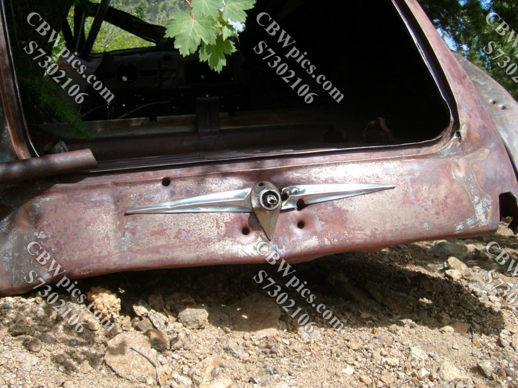
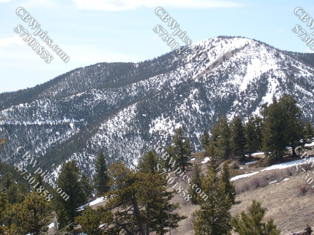
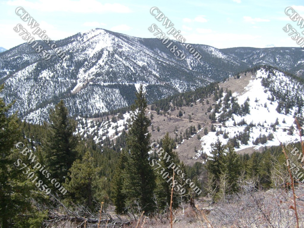
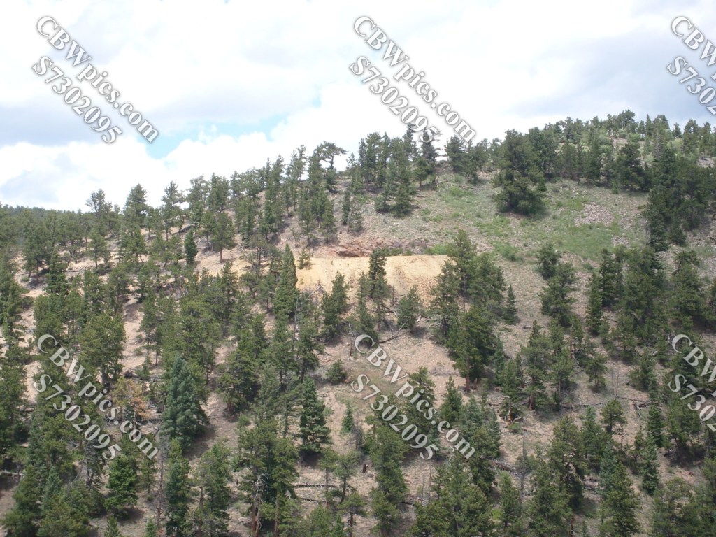
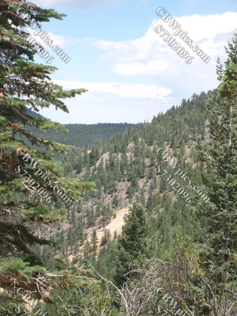
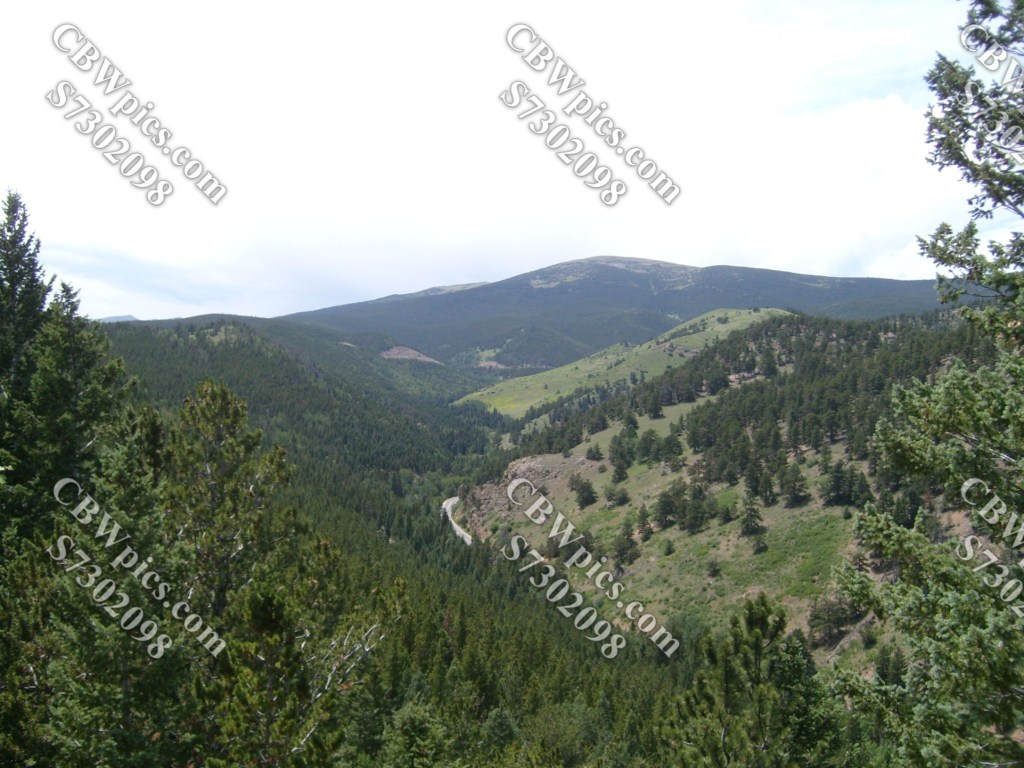
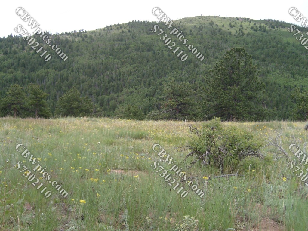
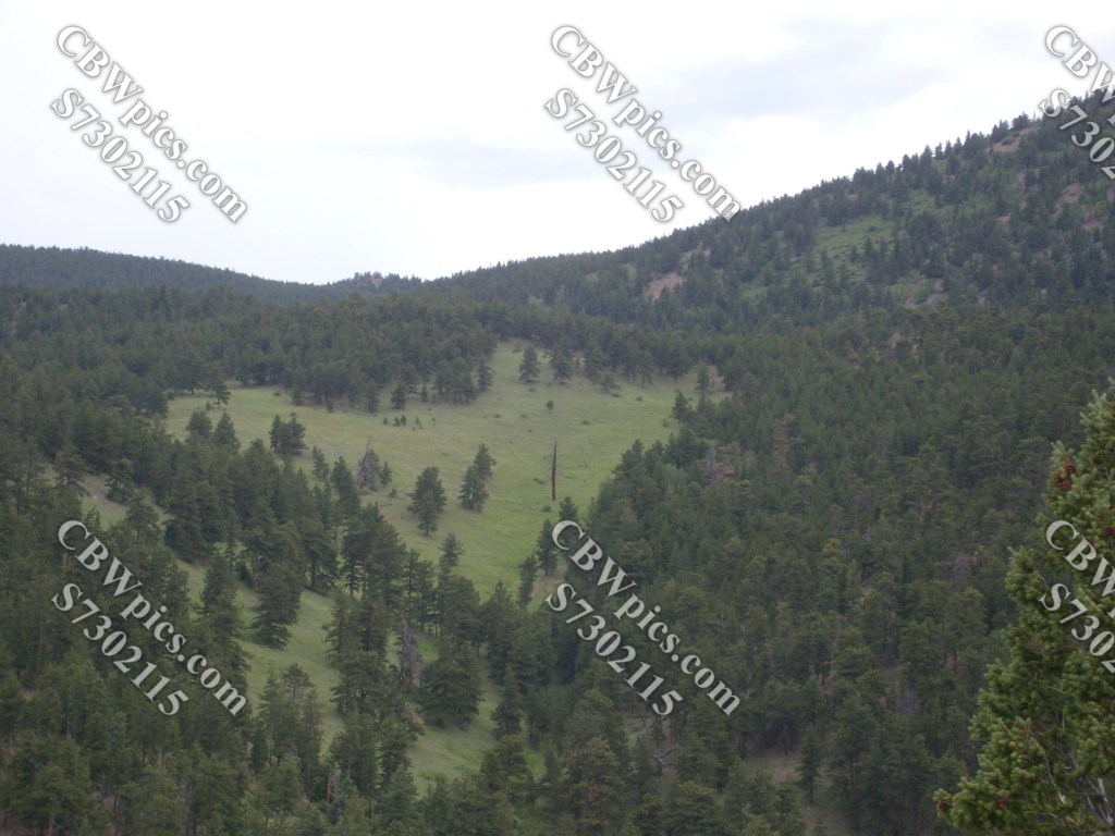
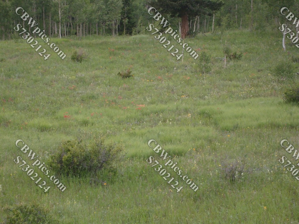
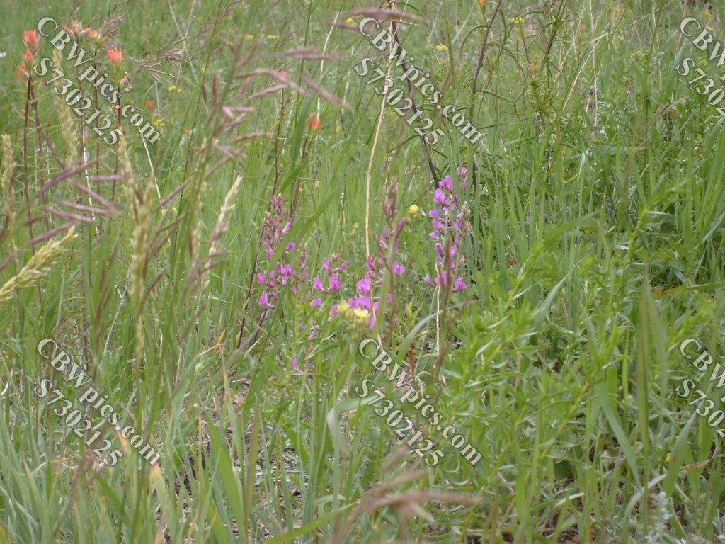
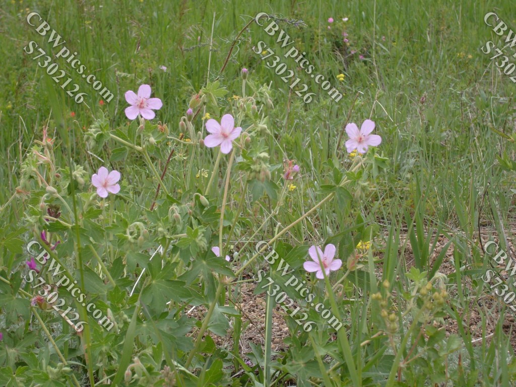
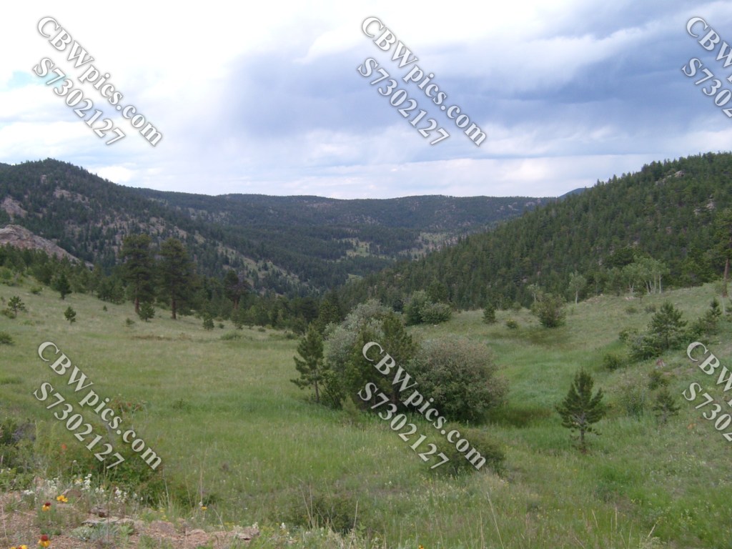
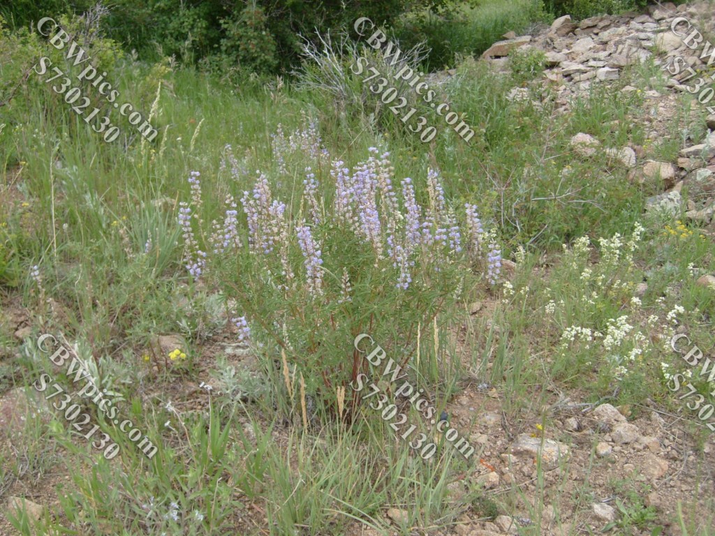
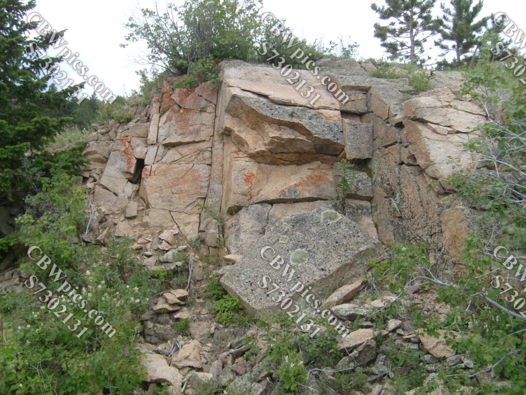
OK, let’s try to forget the ugly demise of The Mystery Car and just enjoy the scenery…

That’s it, folks! Thanks for stoppin’ by!
