
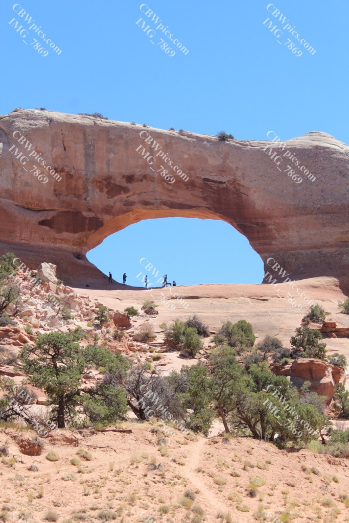
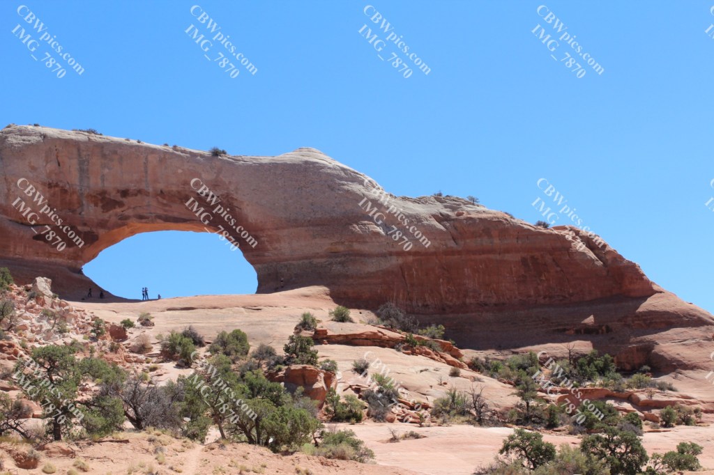
Today, I made the longish voyage to the southern parcel of Canyonlands National Park. This is a 76-mile drive from my hotel. Fortunately, there is some nice desert scenery along the way. Like my first stop, Wilson Arch:
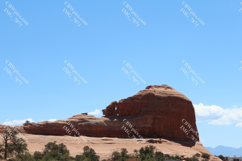
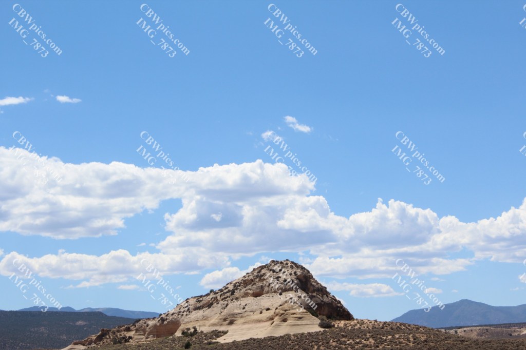
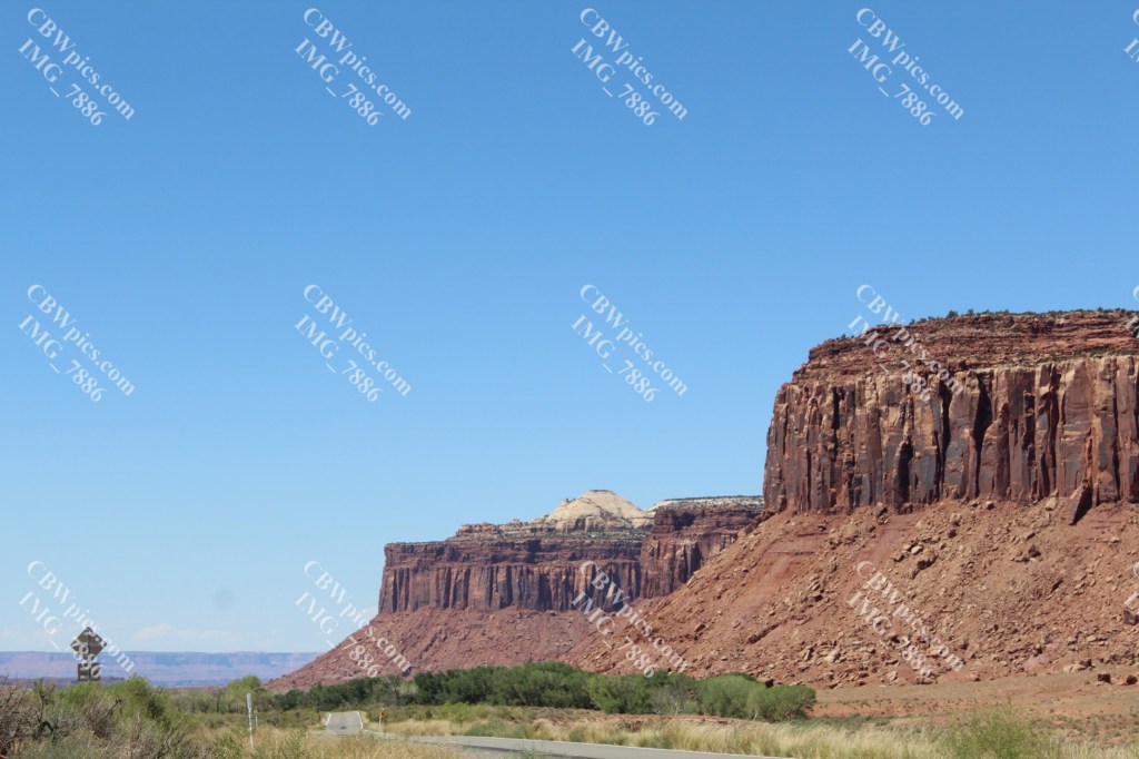
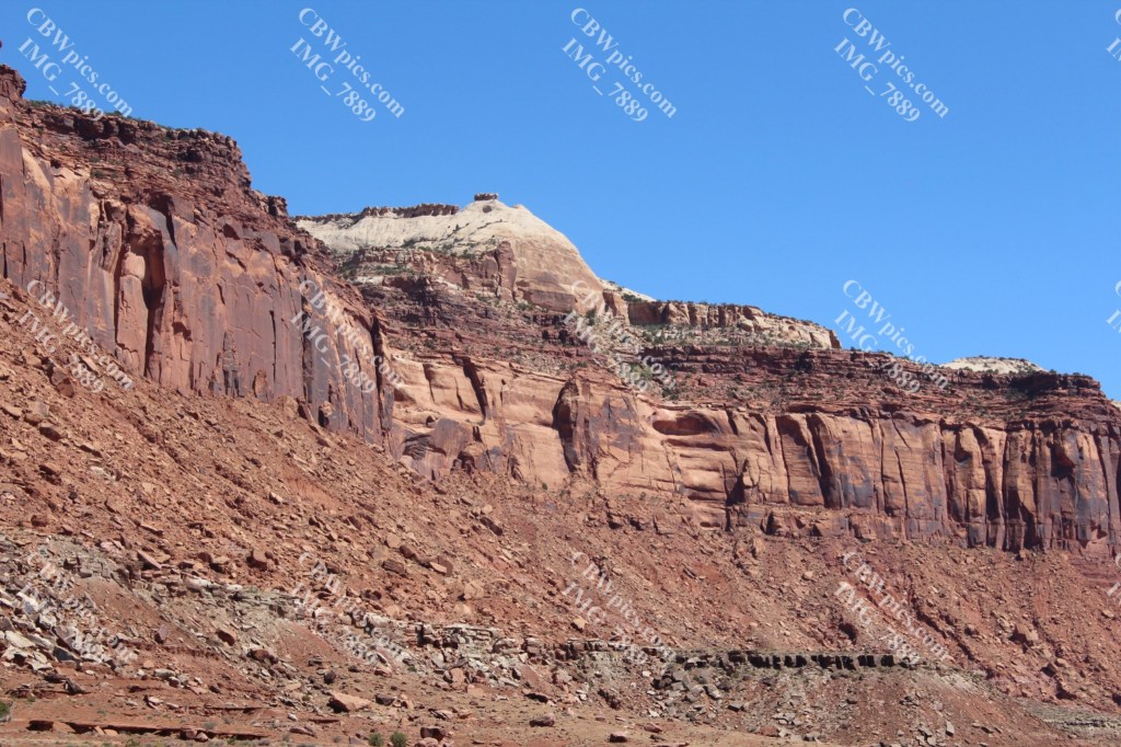
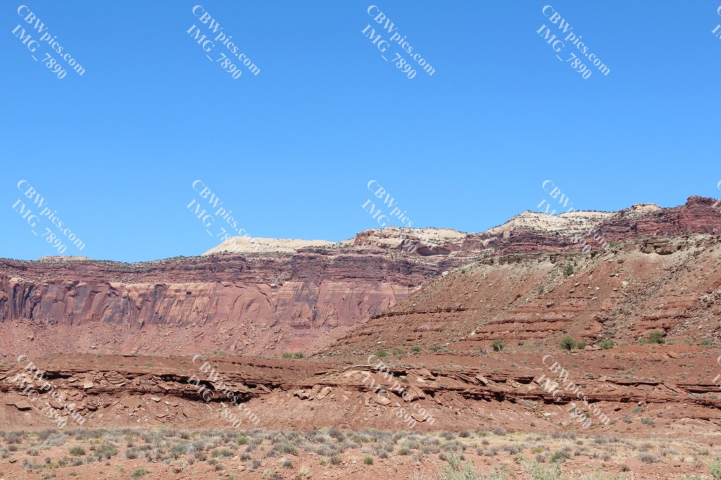
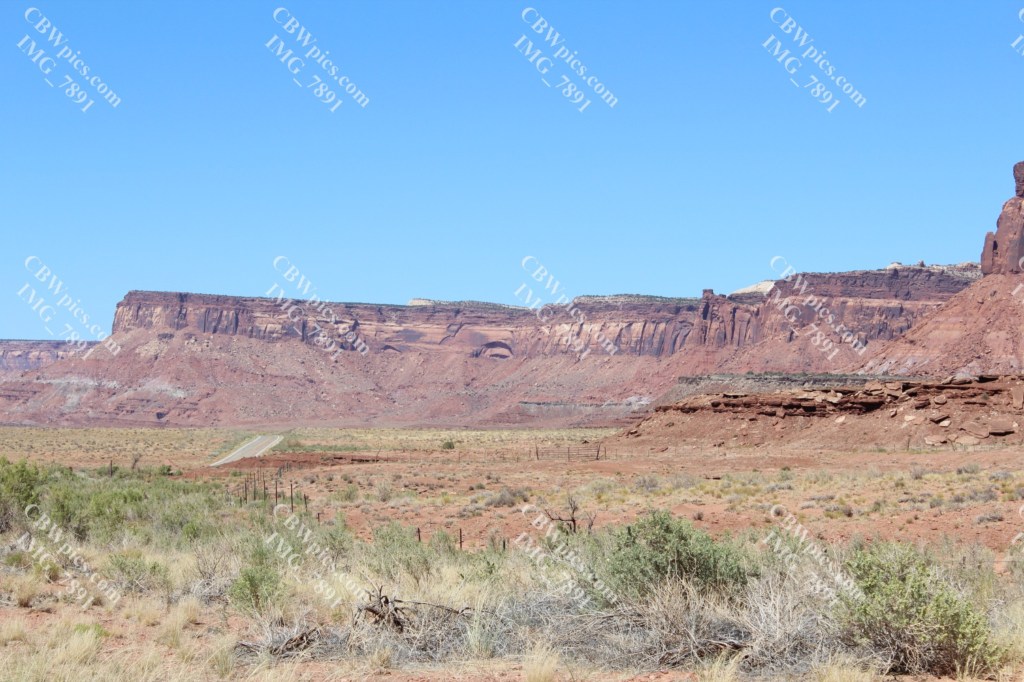
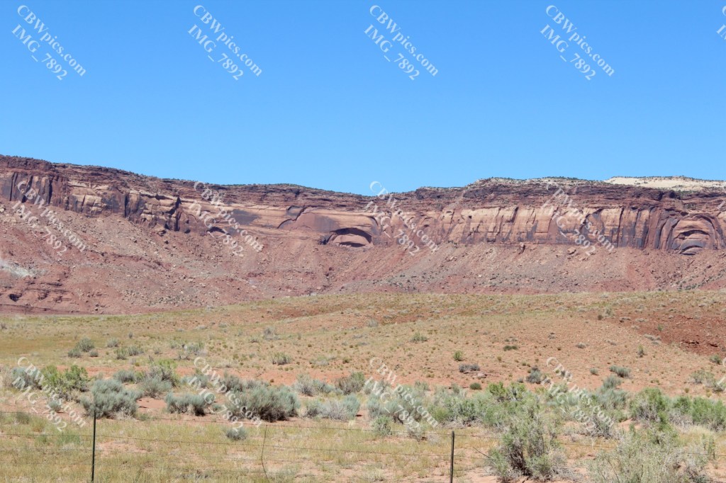
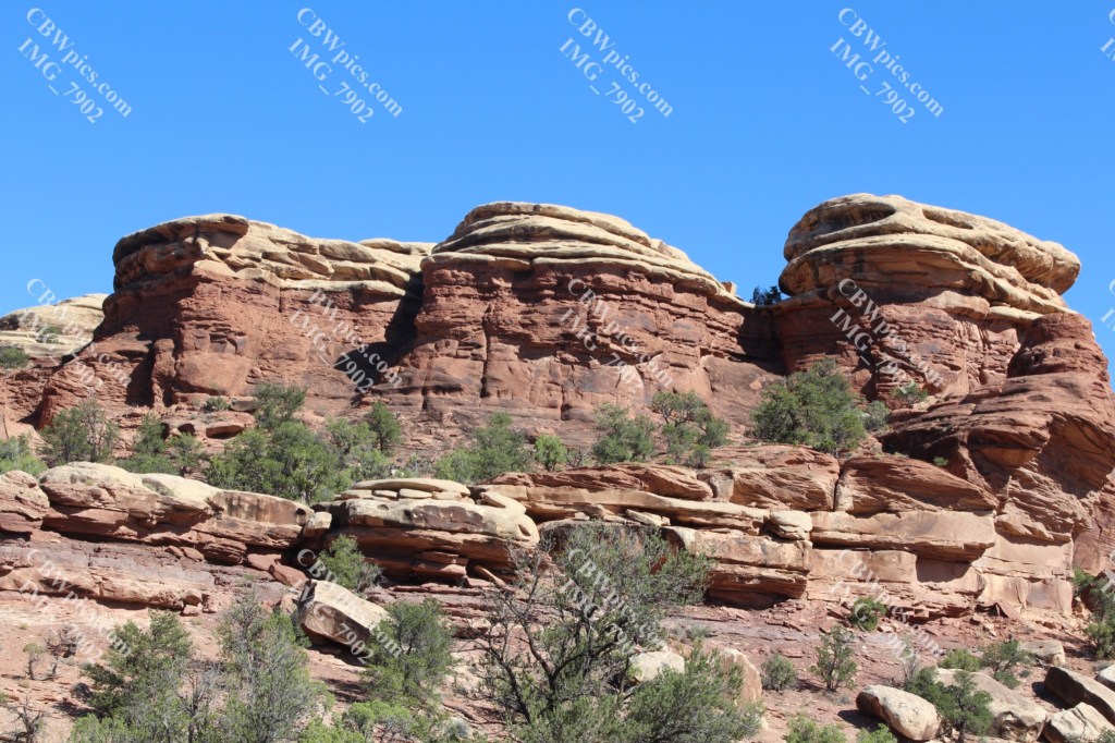
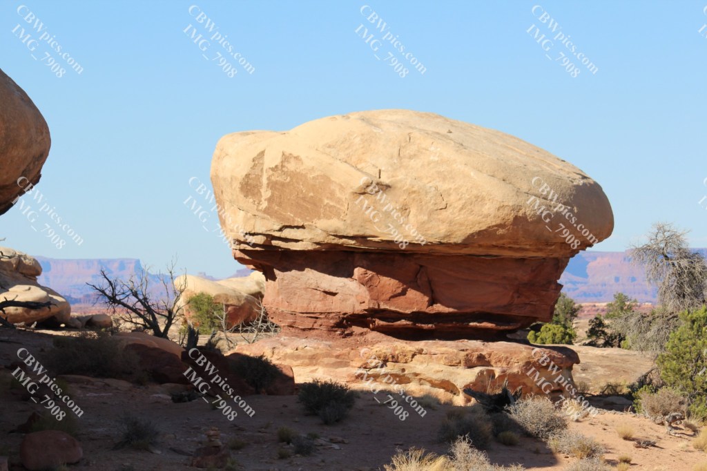
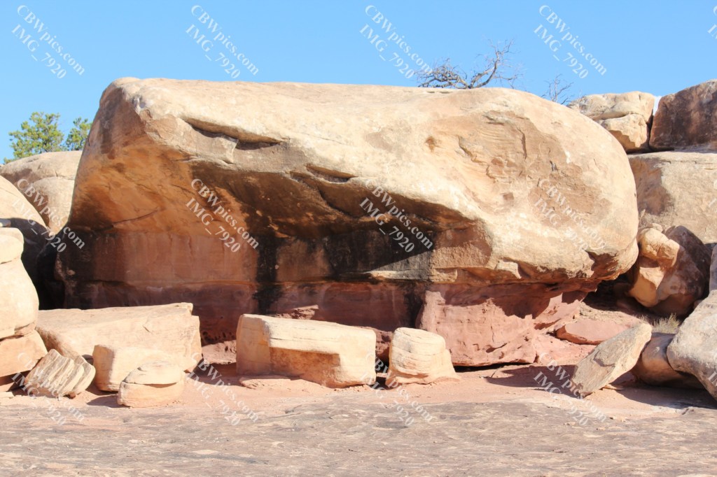
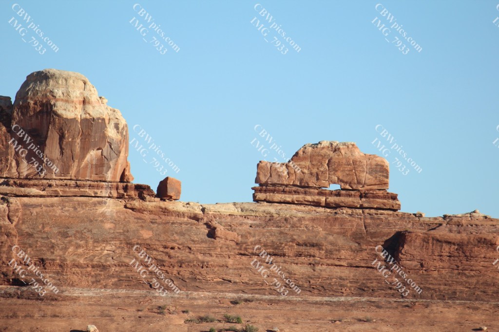
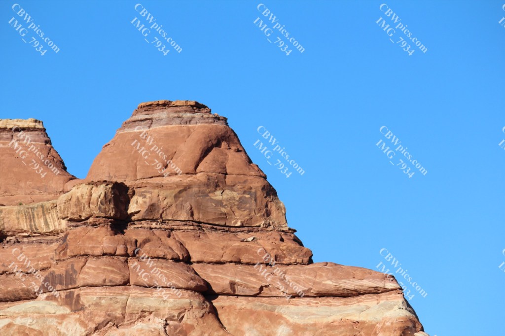
Along the highway, and the road from the highway to the visitor center, most of the land is owned by the federal Bureau of Land Management (BLM). BLM is the red-rocked stepchild of the United States Government. During the 19th century, the government tried to sell off the vast amounts of land that had been acquired in the conquering of the west. Some was sold as farmland, but the bulk of the land went unsold for decades. By the mid-twentieth century, governmental policy had changed, and the government began to designate the unsold lands as (mostly) public recreation areas. Some areas were designated as national parks and ceded to the National Park Service. Others were designated as national forests and (eventually) given to the U.S. Forest Circus, I mean Service. The BLM got most of the dry, flat, rocky land that absolutely no one wanted. Like this stuff:

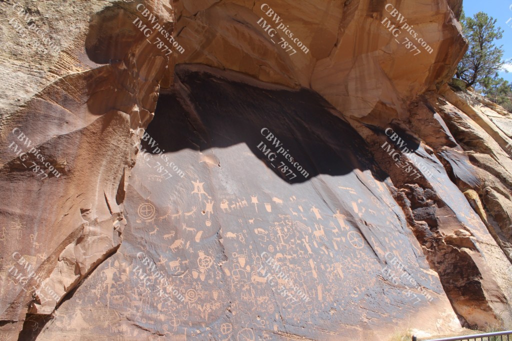
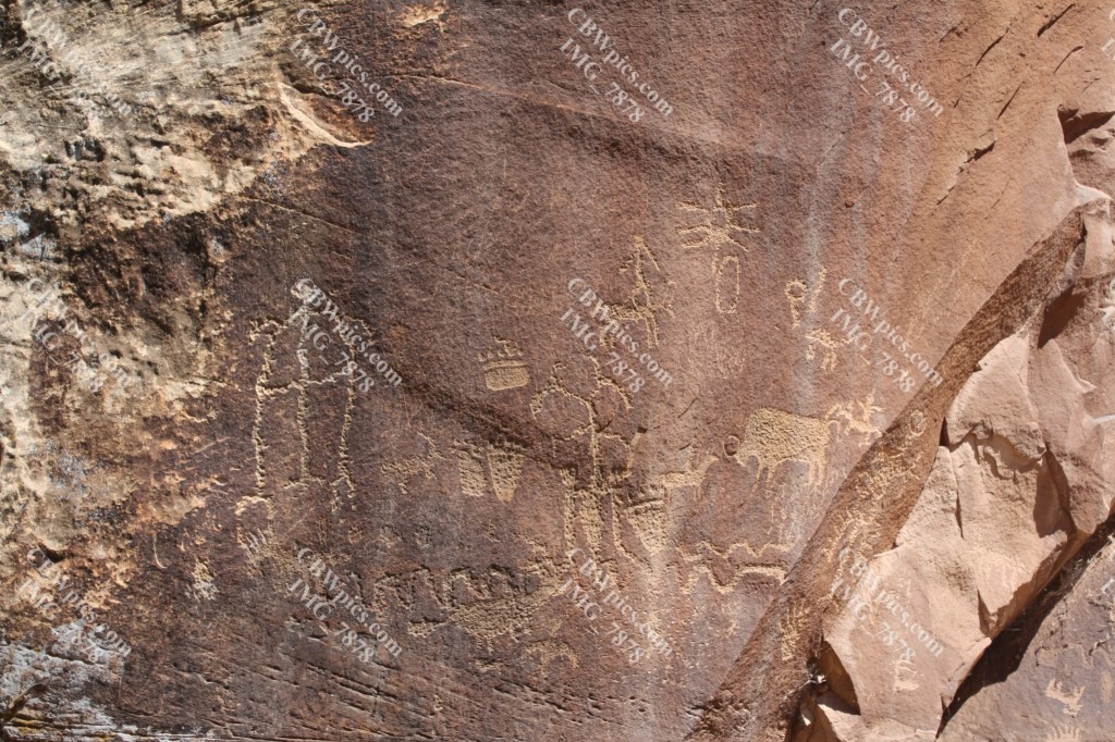
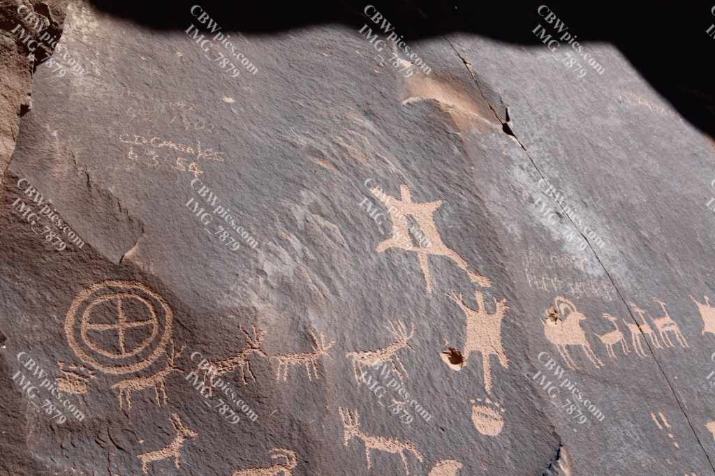
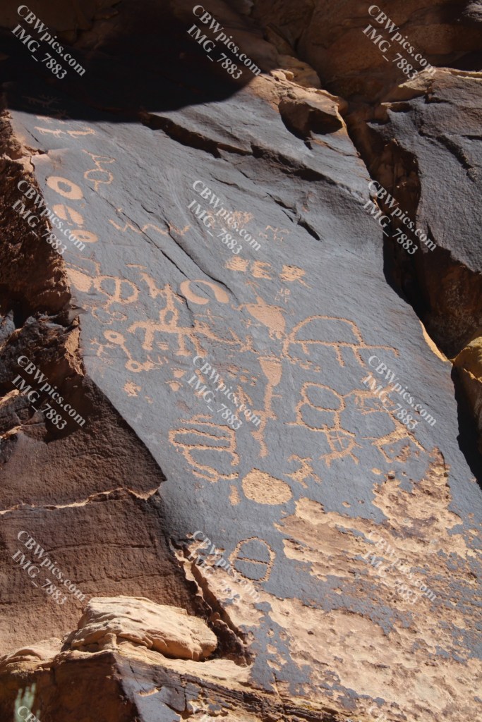
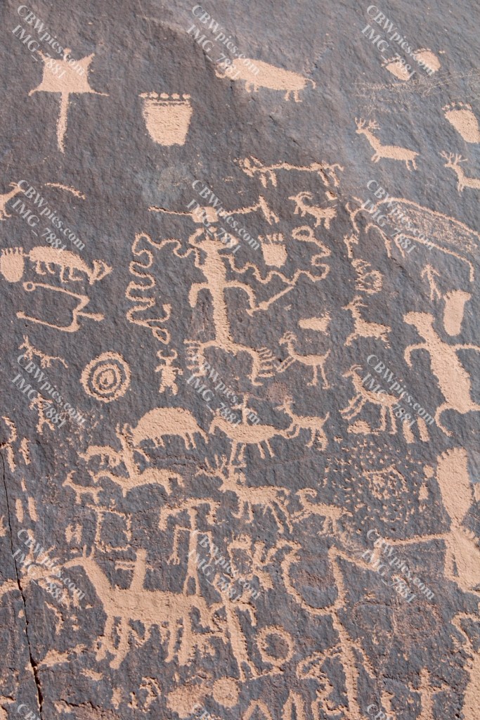
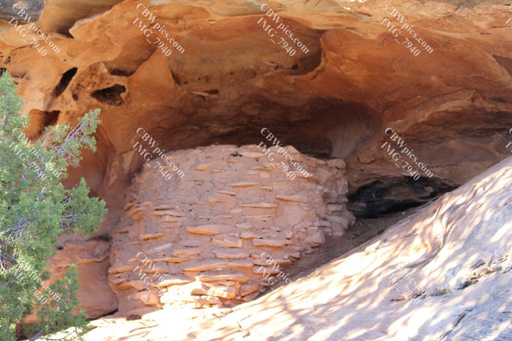
Down in a gully within the BLM land, the road passes by a most interesting pre-historic site: a grouping of petroglyphs (ancient rock carvings) that seems to have so many stories it has been dubbed Newspaper Rock. No one, not even the local Navajo natives, claims to know what all is being expressed on this rock face. I expect YOU to figure it out…you have 24 hours.


Finally, more than 30 miles from the highway, the weary traveler crosses the property line into Canyonlands National Park. That doesn’t sound overly romantic does it? Hmm, let me put it this way…Yay, I’m here! Now, here are this Parkie’s Parky Pics:


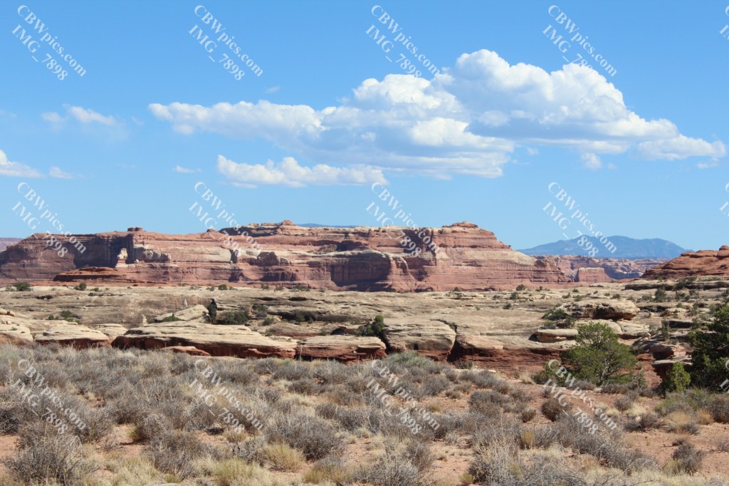
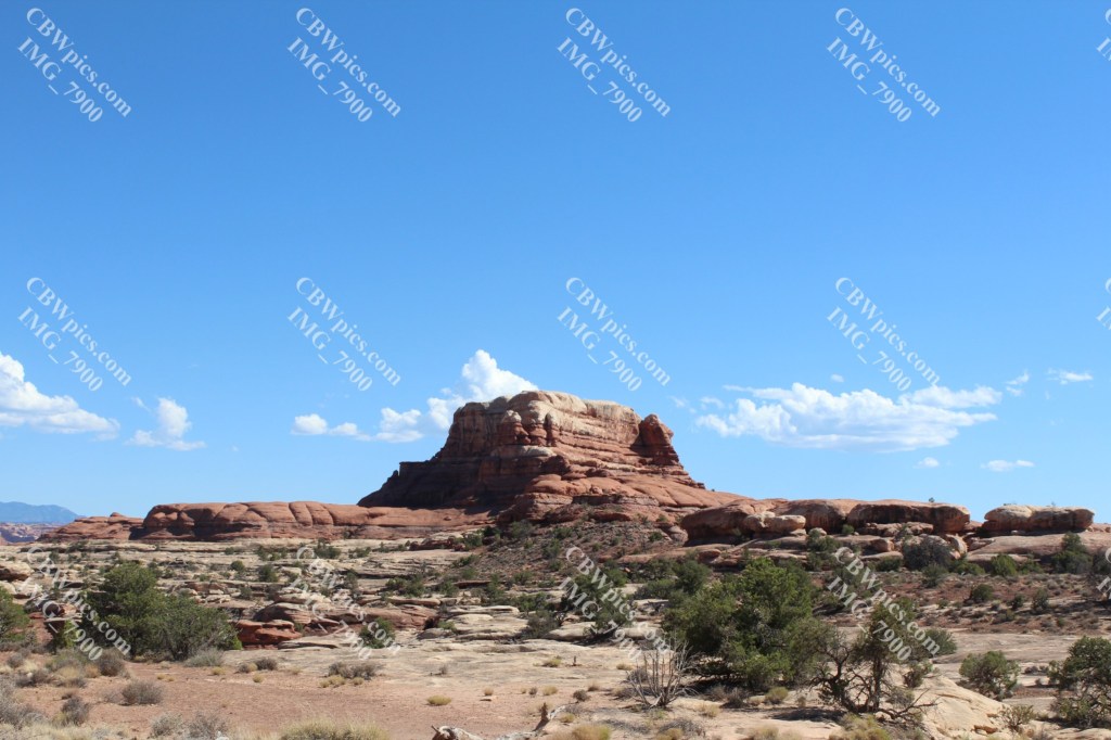

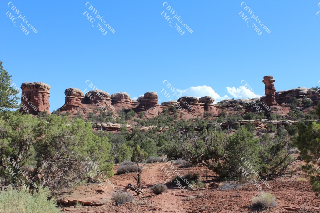
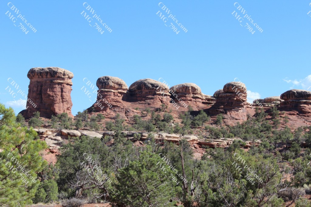


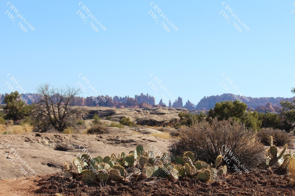


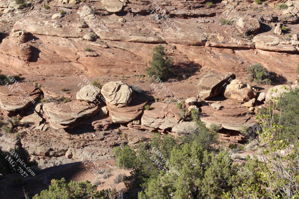

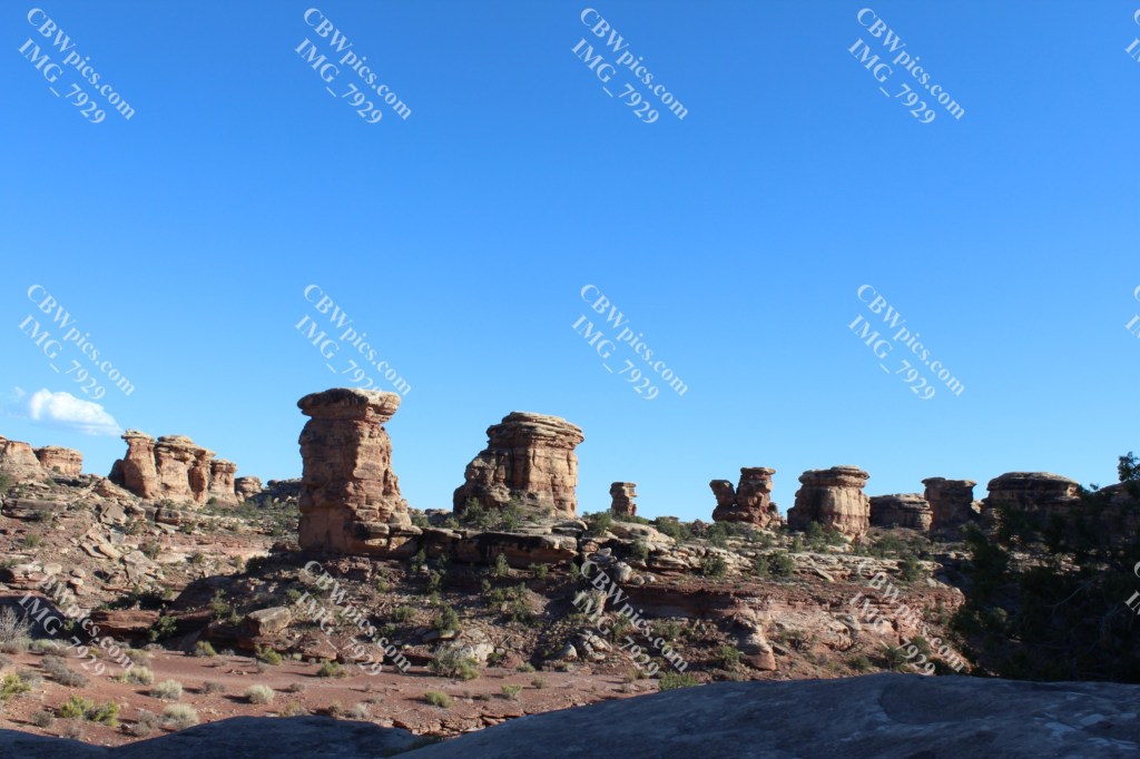

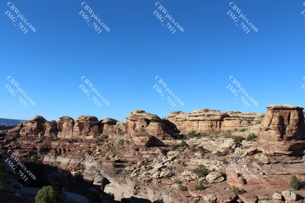

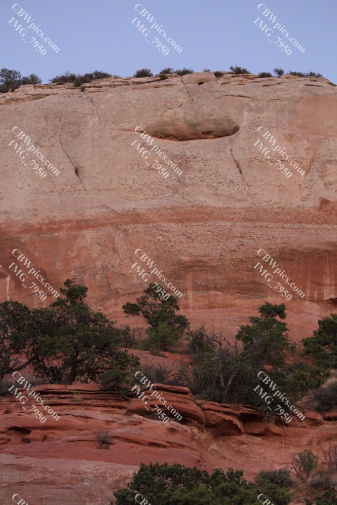
It’s possible to hike (maybe even drive?) down into The Needles. But I was short on time, it was still 100 degrees out, and it’s been a while since I last tested my Parkinson’s hiking prowess at such an altitude. (The average altitude of Canyonlands National Park is a little over 5,000 feet.) So, it’s settled…I MUST come back! For now, it’s back to the BLM land:


On the return trip, I had to slow down to let a momma black bear and her two cubs cross the road right in front of me. Bears. In the desert. Can you imagine having such a thick, dark coat in the freakin’ desert? Then it hit me. That’s why Yogi, Boo-Boo, and Smokey wear so little clothing!
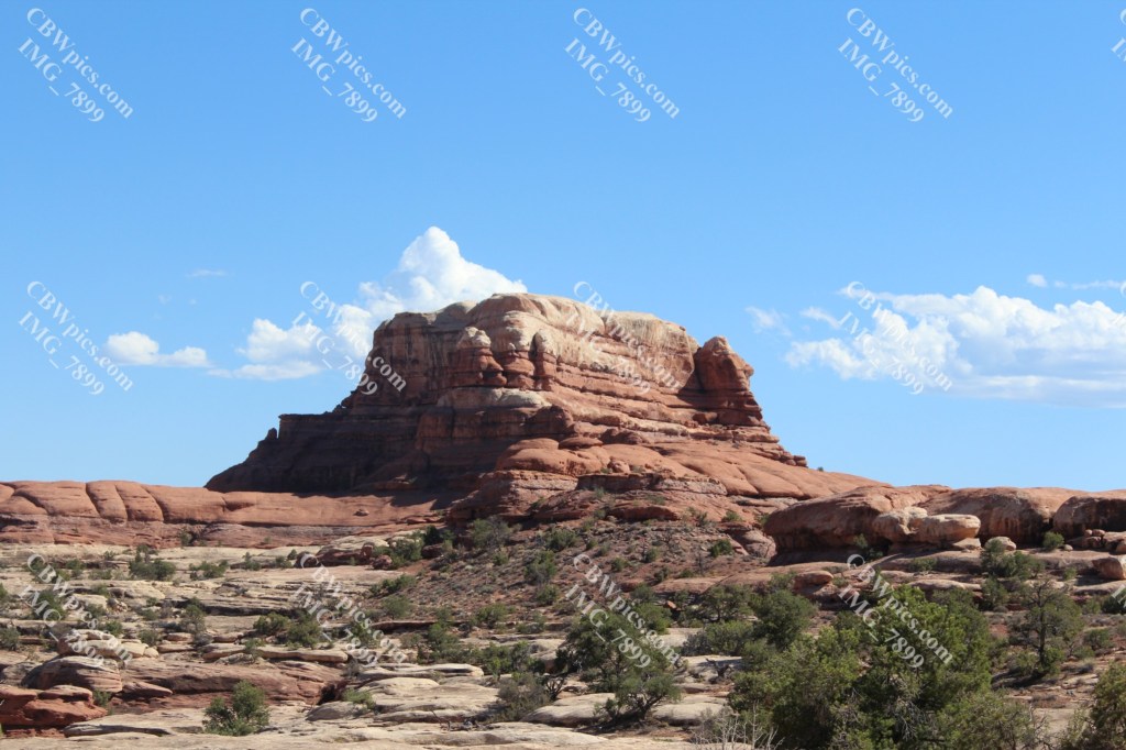
I stopped at Wilson Arch again on the way back. Still didn’t climb up the thing, but got a few more pics in the immediate vicinity…


That wraps up Day 6. As always, if you’d like to purchase fine art quality prints of any of the photos you see here, please let me know. I will make the desired photos available on my photography store (C. B. Williams Photography).
Day 7 will be the adorably named Dead Horse Point State Park. Will it be even more beautiful than today? Stick around and find out!
