
As I mentioned on a previous trip, I can always count on Holiday Inn Express to provide the exact same breakfast, at every one of their locations, and it’s always unappetizing. This particular Holiday Inn Express (in Silt, Colorado) surprised me. They had all the same breakfast items I have come to expect, but it was all fresher, more appetizing, and more plentiful. So, instead of being unappetizing, this breakfast was average.
The plan for today was to drive to the top of the Roan Plateau and improvise from there. I started by taking this picture of the Roan Plateau from the hotel parking lot:
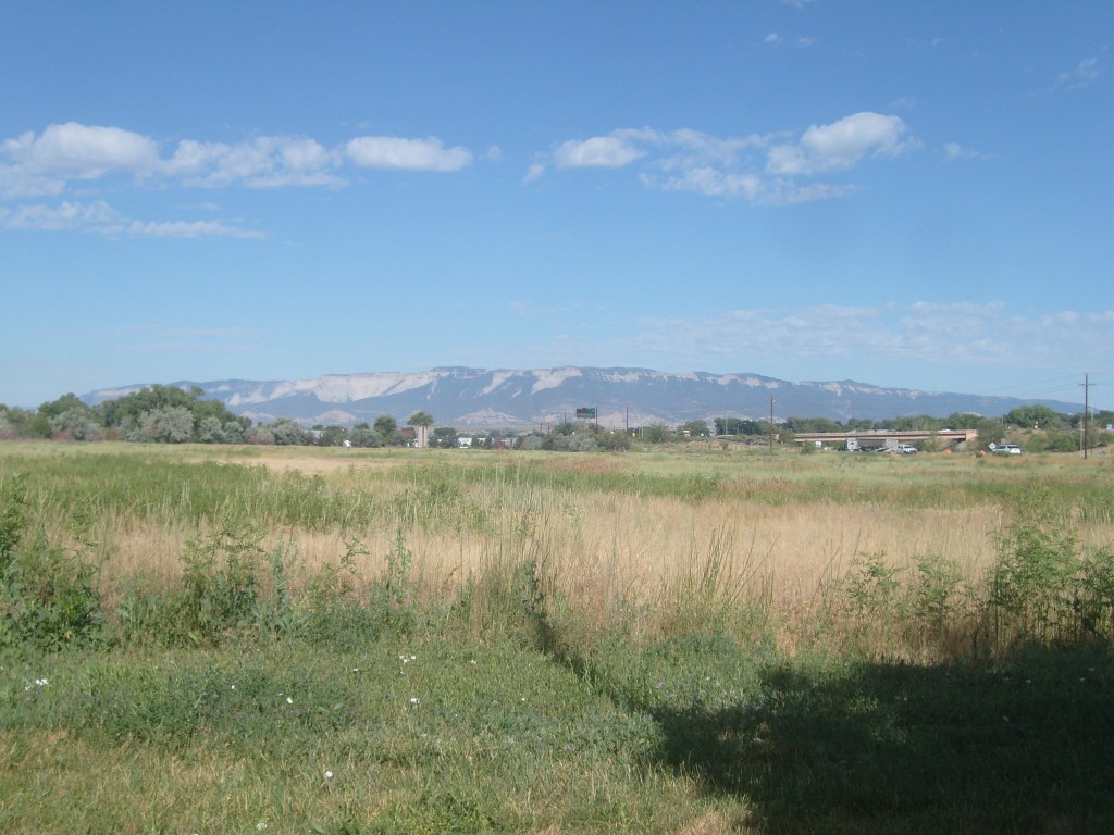
According to my advance research, there are two roads going to the top of this plateau. One of them is called JQS Trail. Everything I could find about this route made it sound like it would not be an option for anything on four wheels, except maybe Bigfoot (the monster truck, not the monster DRIVING a truck). Then I found this video of a guy (not a sasquatch) navigating a portion of JQS Trail on two wheels, and I was convinced not to try it. I’m pretty sure this is the road where Arlo Guthrie wrote his “Motorcycle Song“. The other road to the top is called Cow Creek Road. This one has mixed reviews. They all say a high-clearance and/or four-wheel drive vehicle is “recommended” but some of the reviews implied it can be done in a standard passenger car as long as the road isn’t wet. I have a long history of driving sedans onto roads where a high-clearance and/or four-wheel drive vehicle is “recommended”, so I decided to give Cow Creek a try. After only about a quarter of a mile, I decided to back out while I still could. It’s not that the road is too rough or too steep. It’s just too narrow. It’s definitely only wide enough for one vehicle, and there are seriously huge entanglements of bushes on both sides. If I were to meet anyone coming the other direction, one of us would have to back up – possibly for quite some distance. So, I abandoned Roan Plateau, and went straight into what I had planned for the next day.
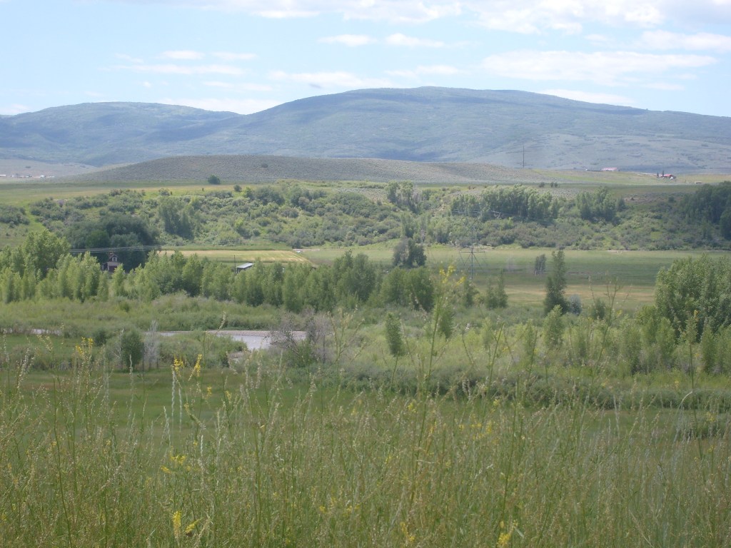
Flat Tops Trail Scenic & Historic Byway is an 82-mile stretch of county roads running between the towns of Meeker and Yampa. I’ve been hiking in the Flat Tops a couple of times, over 20 years ago, but I had no idea this road existed until my most recent visit to Colorado about a year ago. I had high hopes for this road and was expecting to stop frequently for pictures. Truth be told, the scenery turned out to be pretty tame by Colorado standards. I did get the following few shots near the ends of the byway:
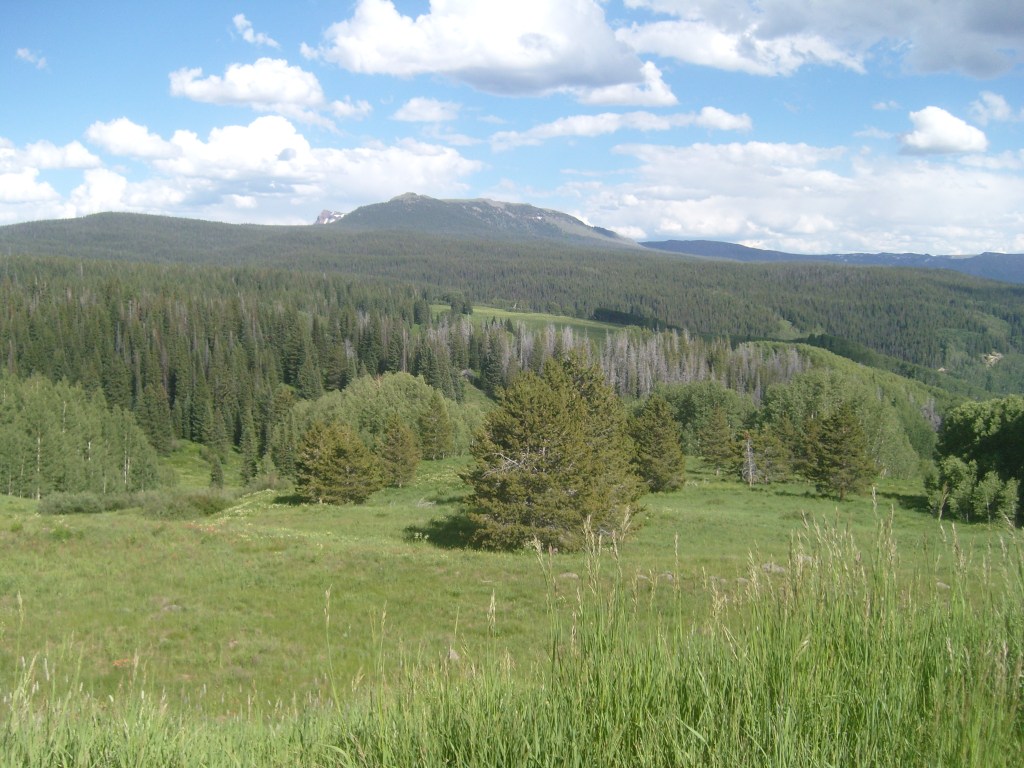
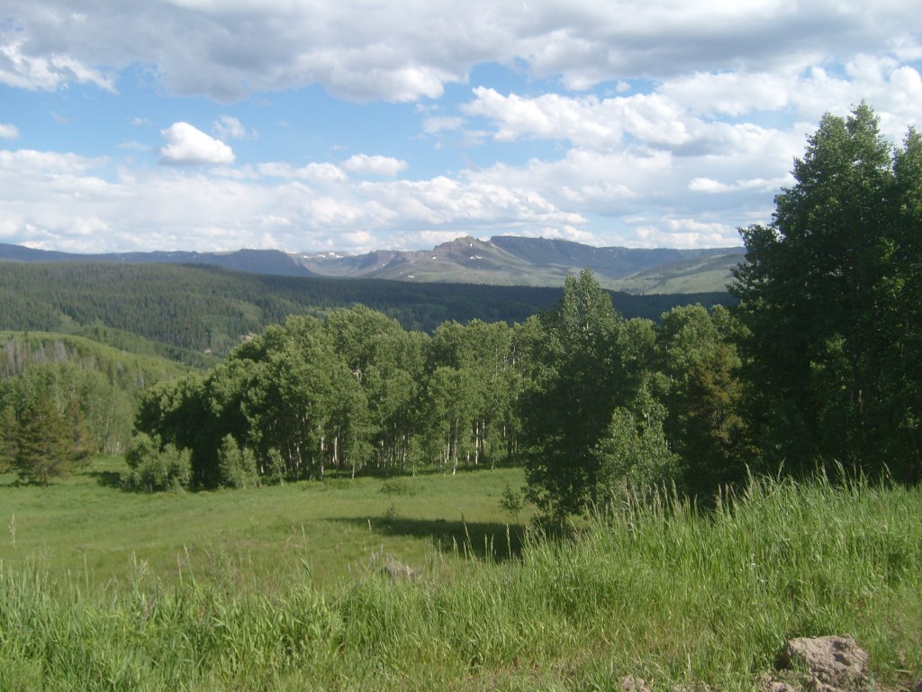
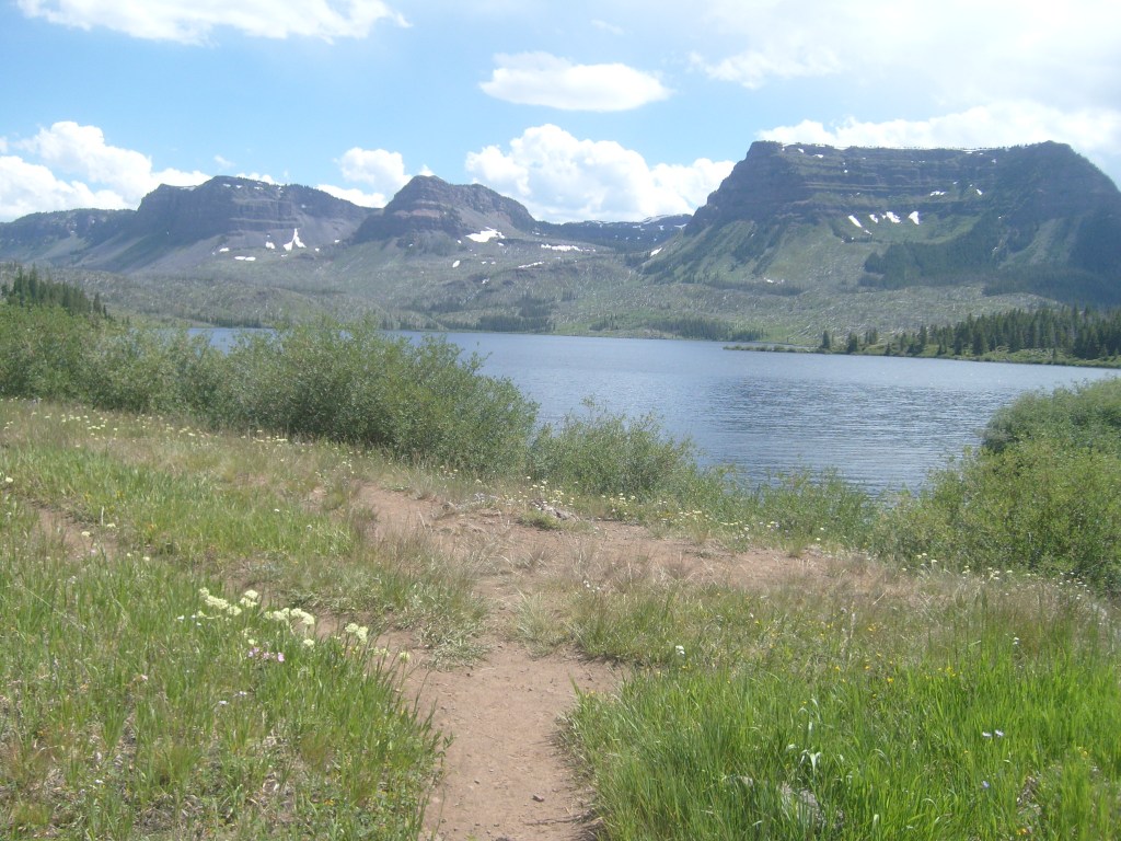
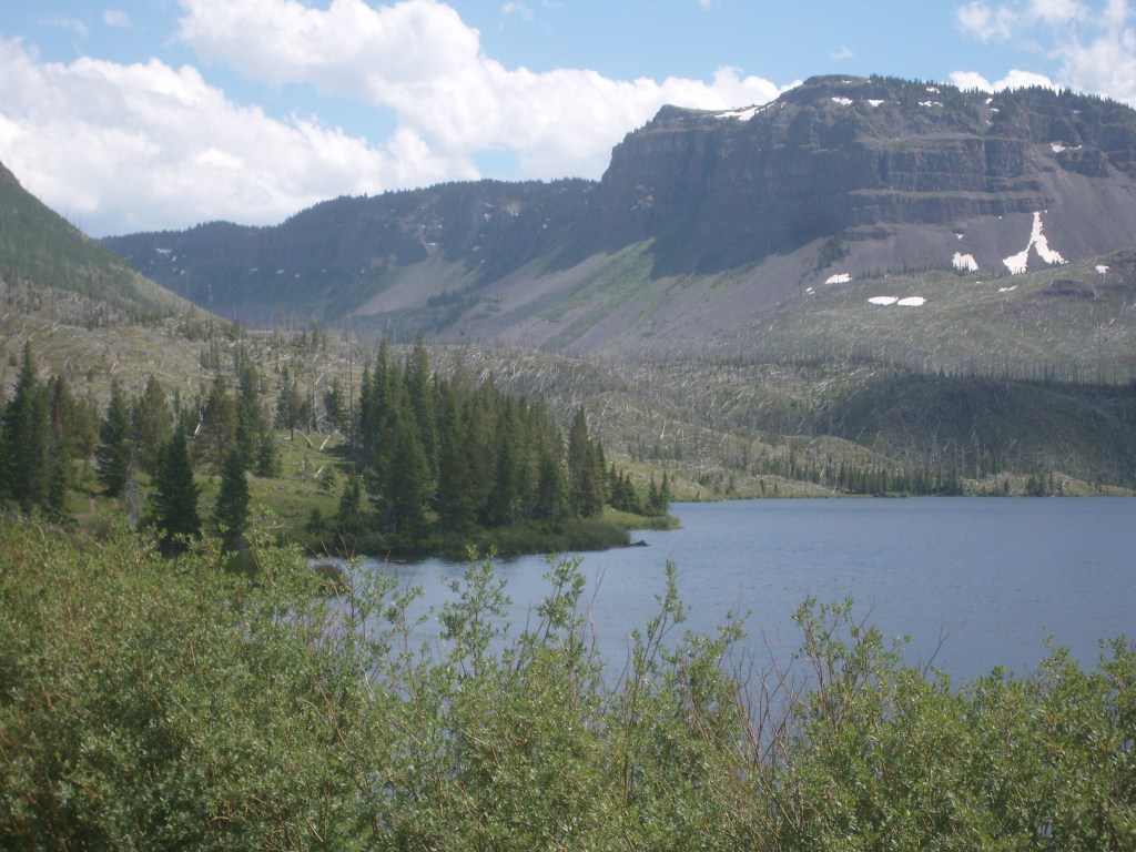
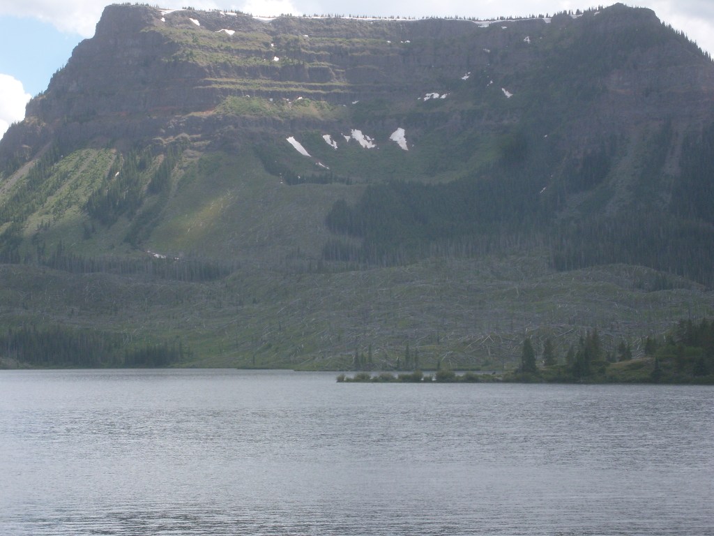
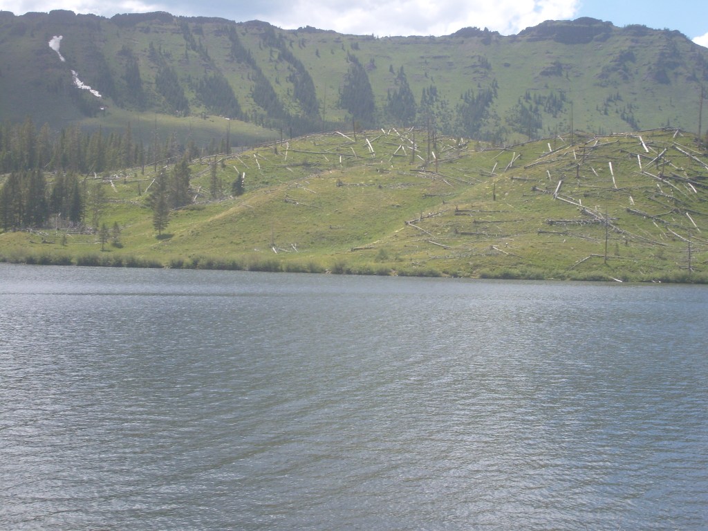
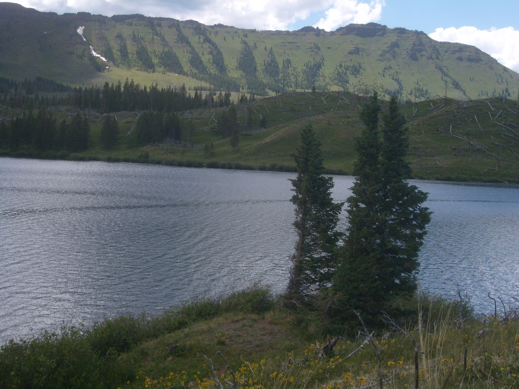
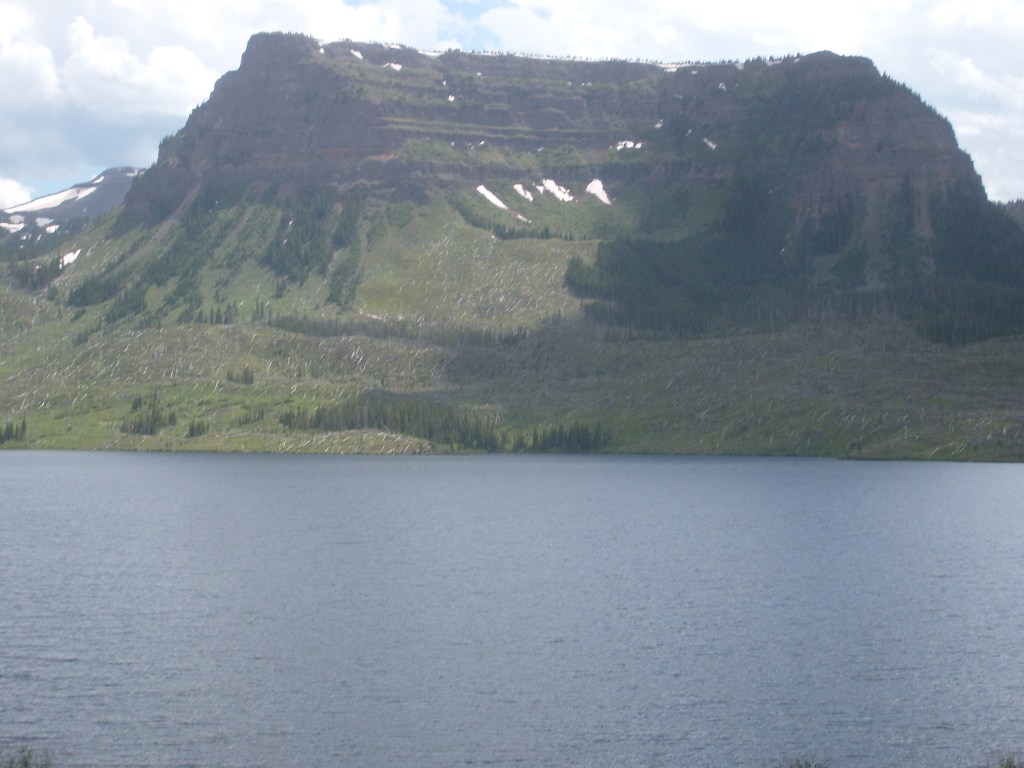
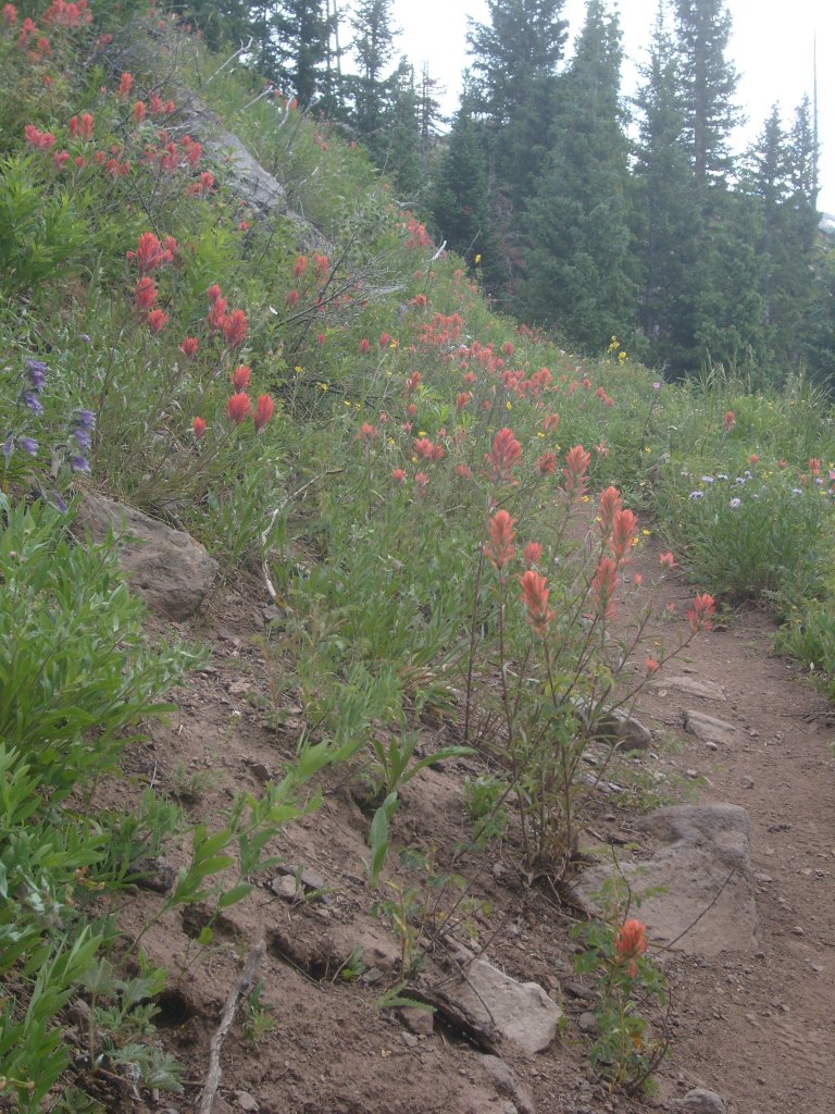
Somewhere near the middle of the byway is a turn-off: a ten-mile long dead end road, at the end of which you will find Trappers Lake. This is where the real scenery is! Look for yourself:


Day 3:
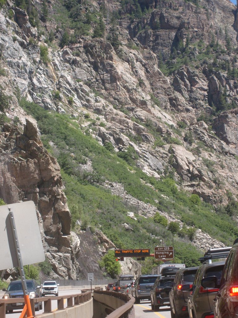
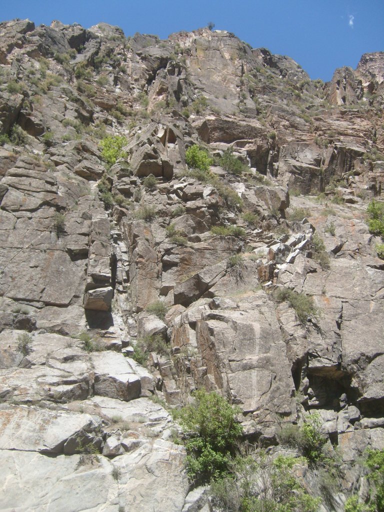
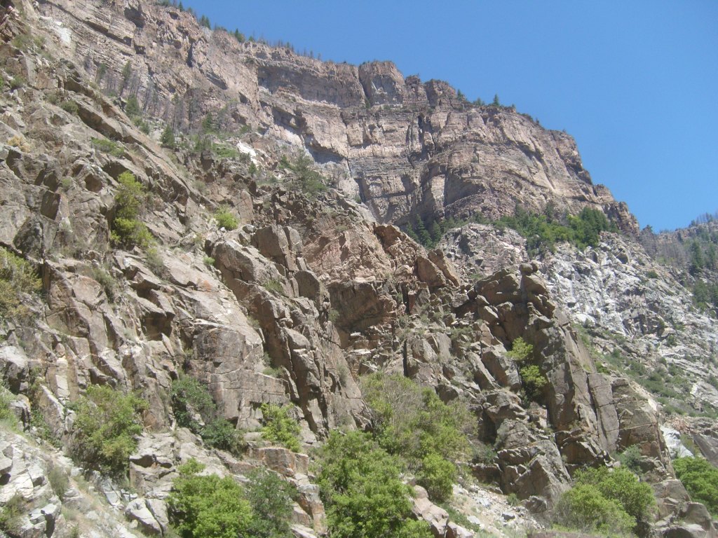
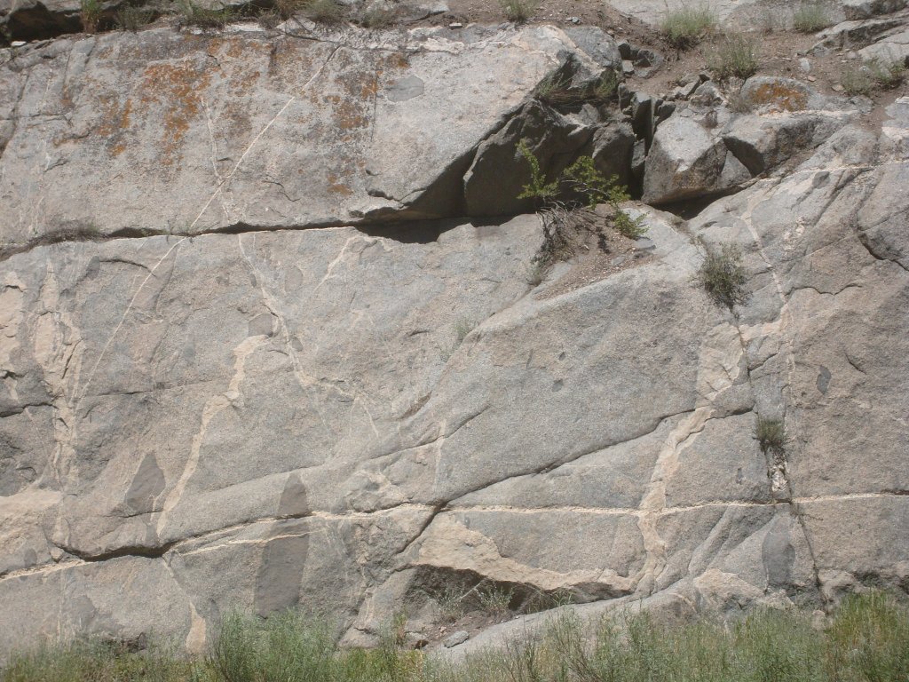
Having done today’s activity yesterday, I had the whole day to slowly meander my way to my next overnight stay, in the town of Kremmling. Again, I would be seeing new stretches of road, and again, they turned out to be pretty tame by Colorado standards; thus, I took only a few pictures. First up, traffic was halted for several minutes at the eastbound entrance to the Hanging Lake Tunnel in Glenwood Canyon. This provided an opportunity to get some pics that I wouldn’t normally be able to get:
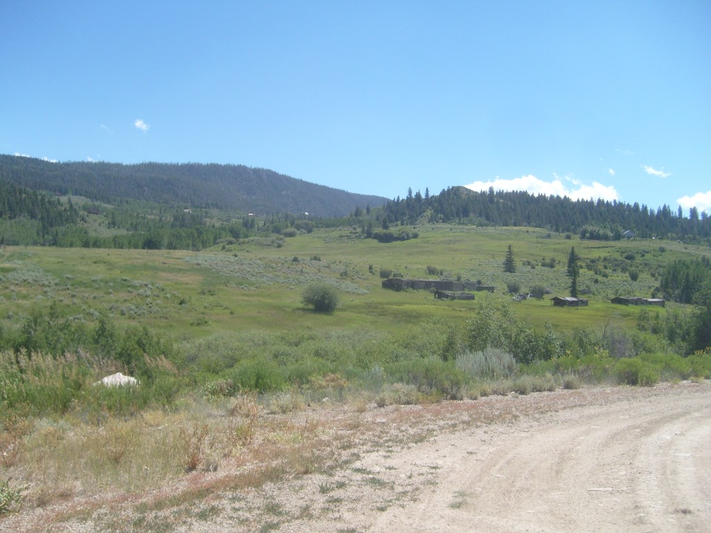
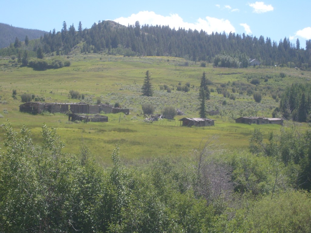
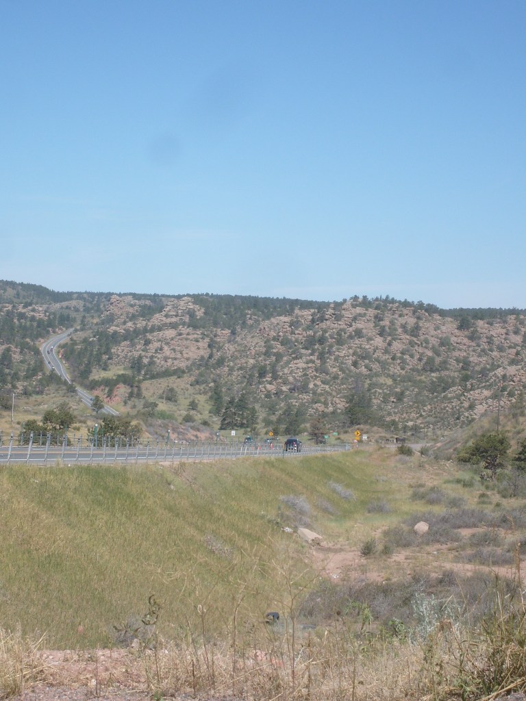
Then there was this place, just a few miles northwest of Kremmling. There were no signs indicating what this place was, so I assume it was just a ranch, and not a town:
Day 4:
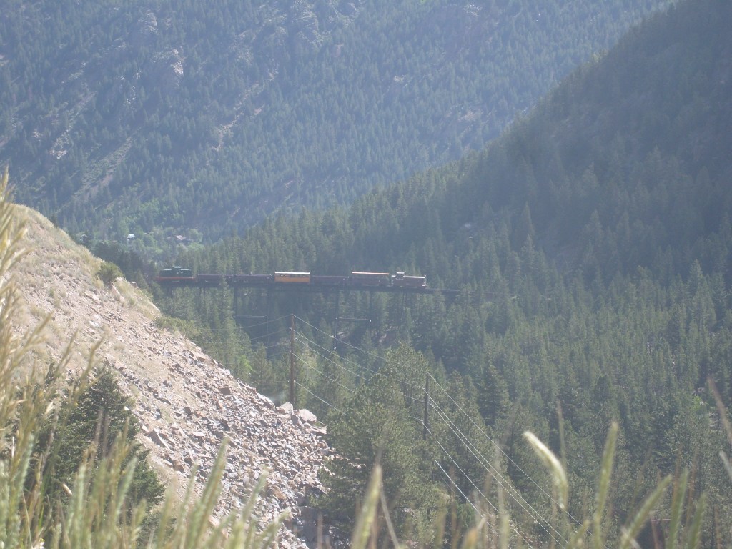
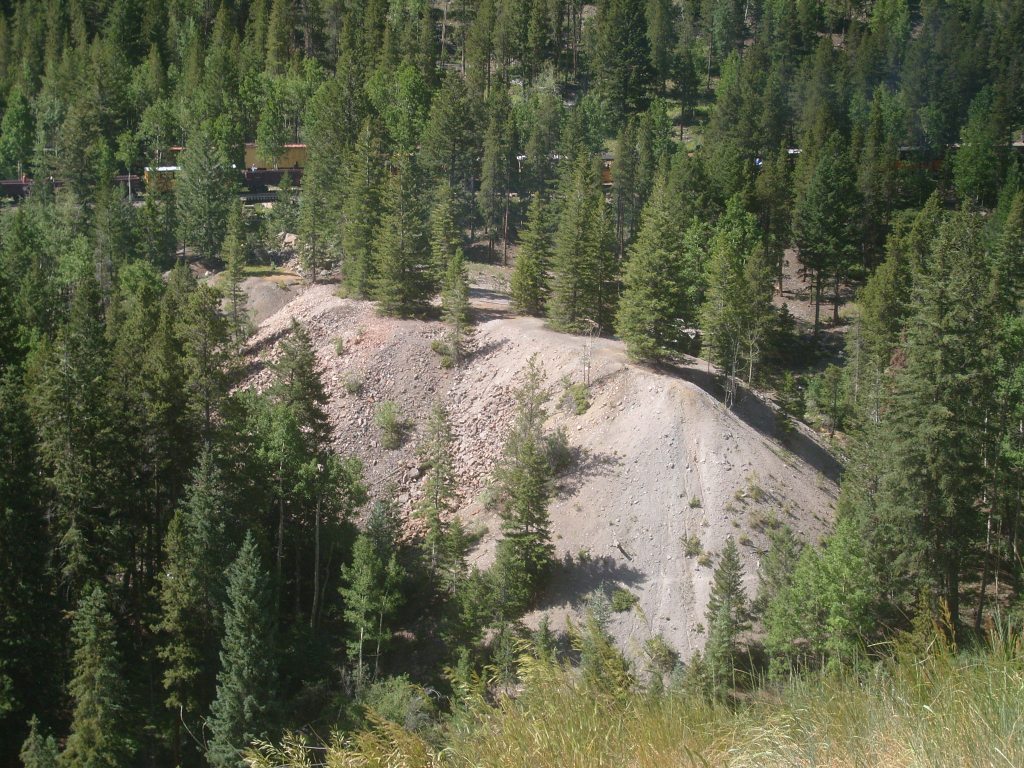
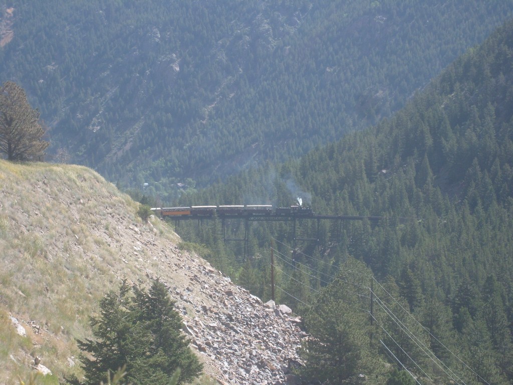
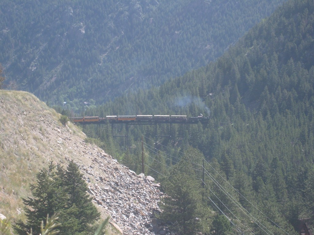
On this day, I was ultimately headed to a friend’s housewarming party in Lafayette, Colorado. But that didn’t start until late afternoon, so I decided to go to Central City (one of the few Colorado towns with legalized gambling) and throw away part of my life savings. So, I did. On the way to Central City from Kremmling, I stopped at the rest area overlooking the Georgetown Loop Railroad. My timing was absolutely perfect, as trains were departing from both stations just as I was getting out of the car:
Day 4.5 (because I said so):
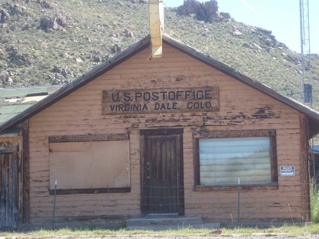
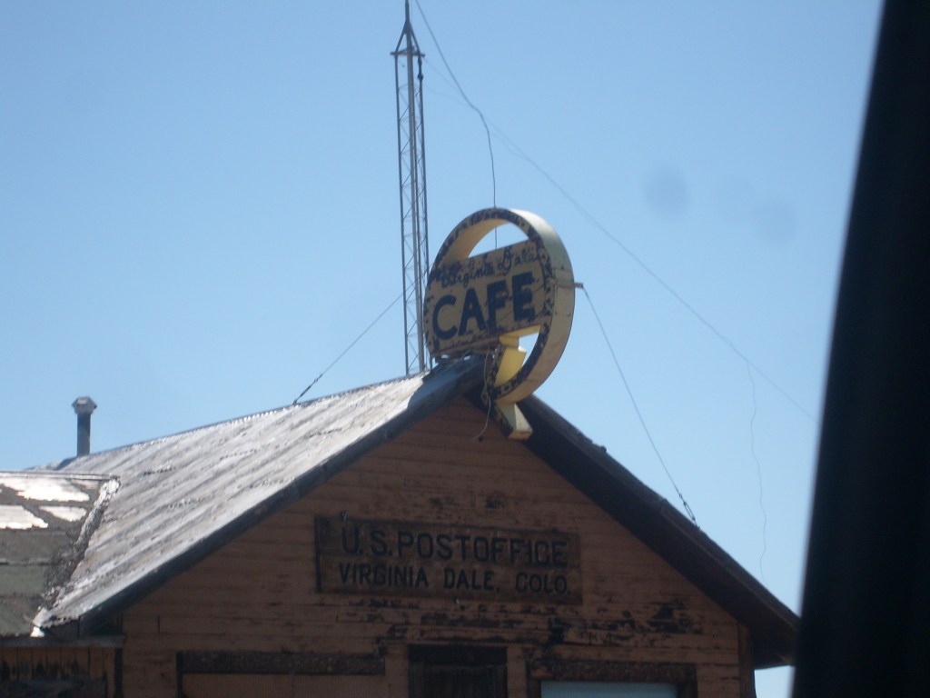
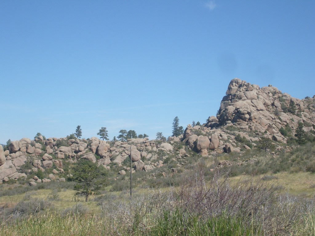
This was only a half day, because today we cross the border. But first, we make a quick stop at Virginia Dale, Colorado. This town started off as a stagecoach stop along the Overland Trail. According to historical markers nearby, the actual stagecoach station still stands nearby, but is on private property. Here’s what ya can see from U.S. Highway 287:
That’s it for this year’s Colorado trip. After Virginia Dale, it’s just another five miles to Wyoming, which will officially launch my Wyoming State Vacation! So, stay tuned for that, eh!

It’s all just so gorgeous! Your narrative makes it fun for all of us following along!
LikeLiked by 1 person