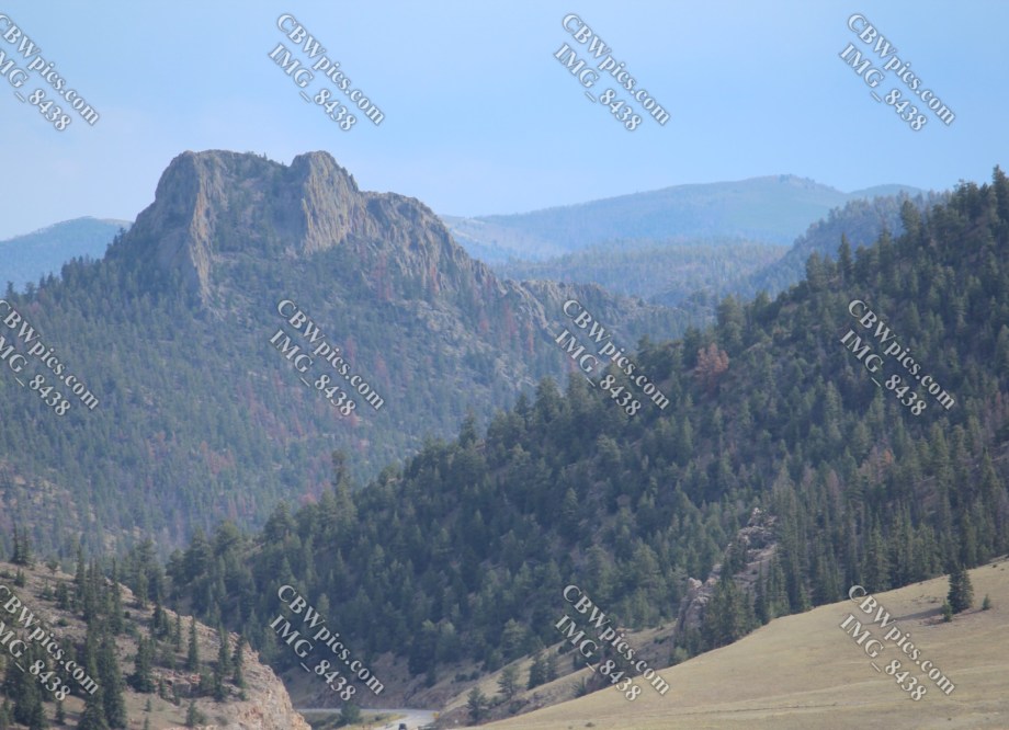
Day Two was planned to be a dedicated driving day. I was to drive from Granby to Leadville; I planned to take the long way (more on that later). There would of course be stops for picture-taking. The first of these stops was just outside the town of Hot Sulphur Springs. That area looks like this:
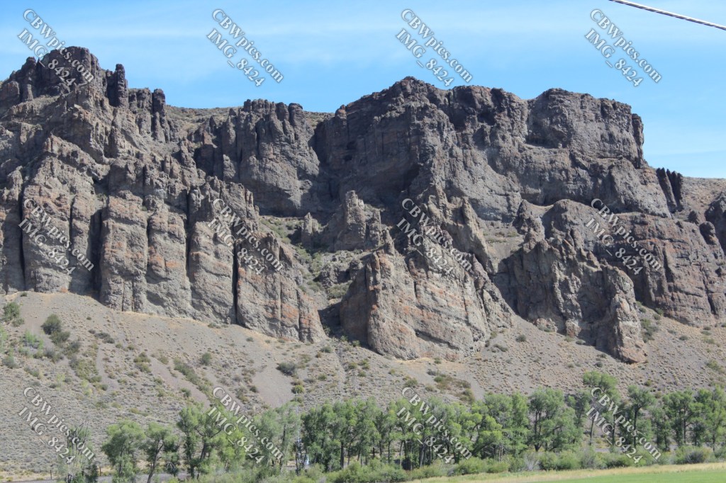
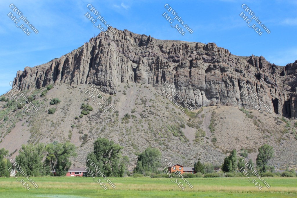
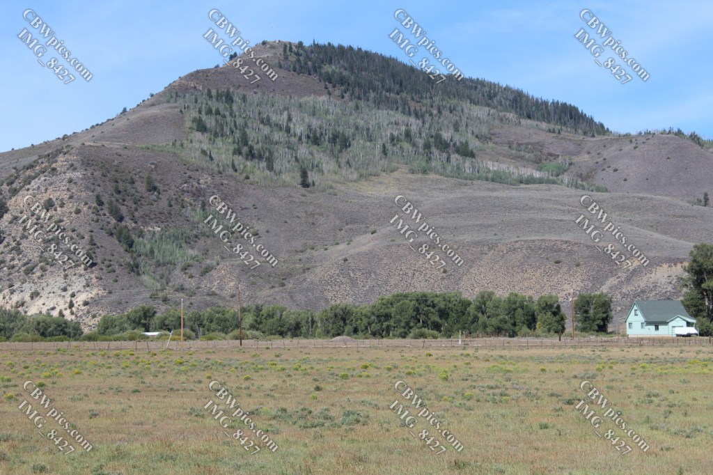
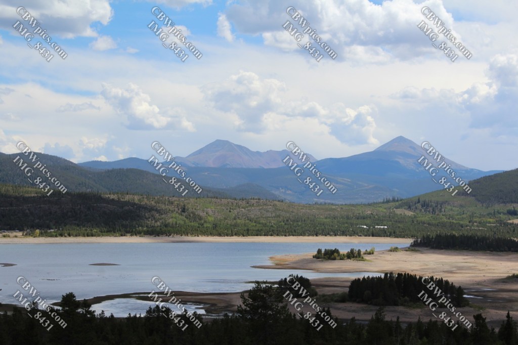
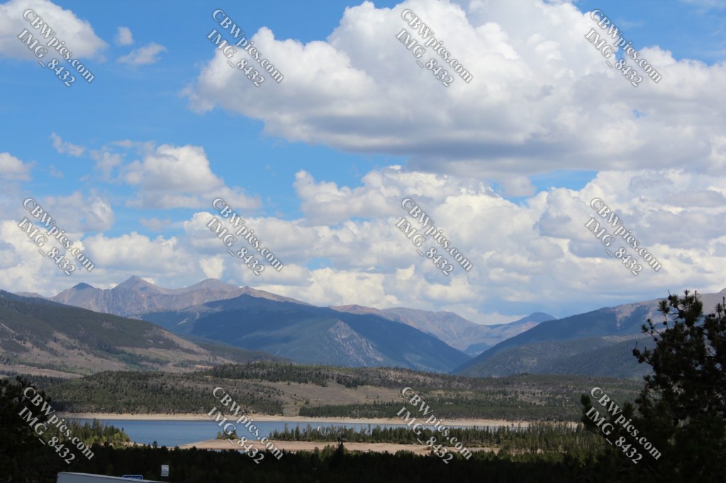
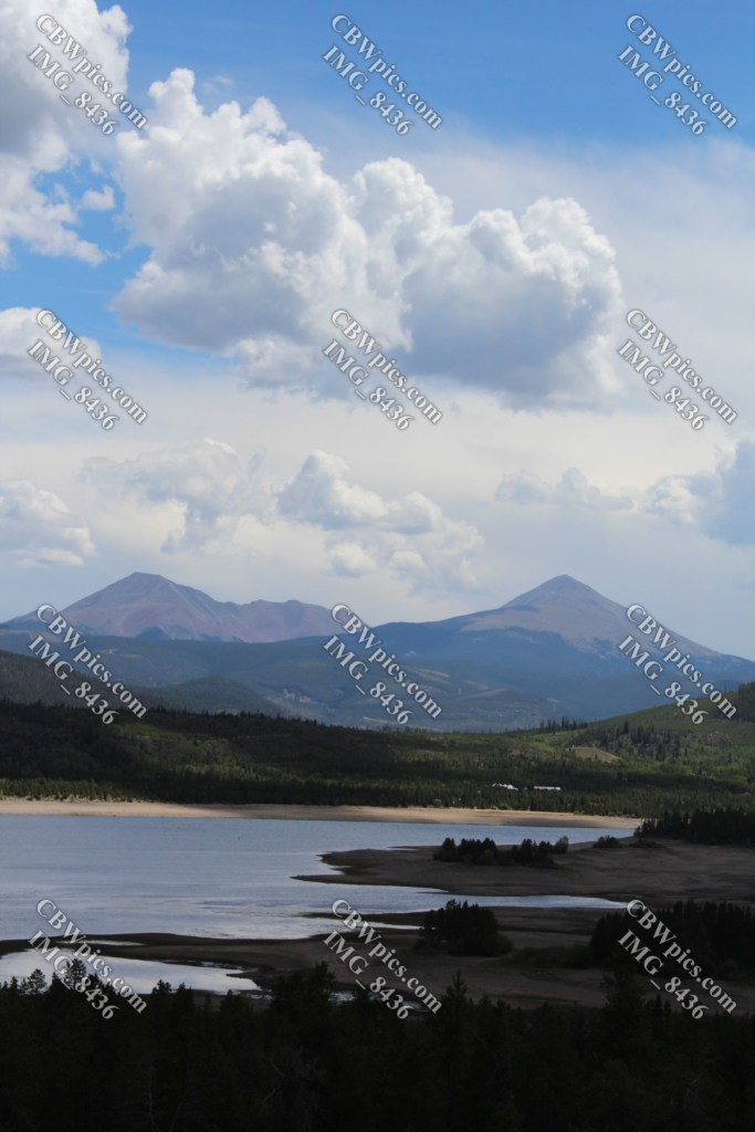
The next photographic stop was at Dillon Reservoir. Check it out…
Now: The Long Way. In the late 19th Century, Leadville was one of the most heavily mined areas on Earth. Not surprisingly, enterprising individuals found multiple routes to get there. A few of these eventually became paved highways. A few more of them ceased to be maintained once the highways were paved (that is, if they were ever maintained at all). The most famous of these is probably Mosquito Pass. This route appears to be a true 4WD adventure. I was not equipped for a true 4WD adventure.
However, I very recently learned of another route to Leadville: Weston Pass. Everything I read about Weston Pass said that the road is unpaved but graded: an easy drive not requiring 4WD or high clearance. And supposedly very scenic. So, this was to be my route from Fairplay to Leadville.
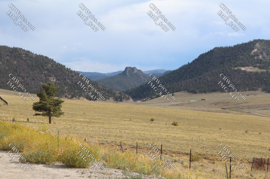
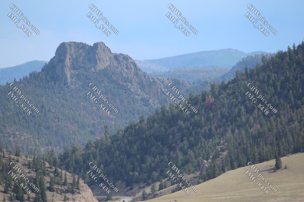
But when I arrived at Fairplay, thunderstorms rolled in. I really didn’t want to be driving above timberline in mud, exposed to lightning and hail, so I decided to take the highway route via Buena Vista. During a break in the rain, I got these pics of a mountain whose name I can never remember…
I continued through the dreariness until I reached my Leadville lodging. Day Two had met its maker.
 Voyages with Parkinson's